Elevation of Zion Rd, Mullins, SC, USA
Location: United States > South Carolina > Marion County > Mullins >
Longitude: -79.263749
Latitude: 34.2288365
Elevation: 25m / 82feet
Barometric Pressure: 101KPa
Elevation Map:
Satellite Map:
Related Photos:

SONY GPS tagging device, GPS-CS1KA
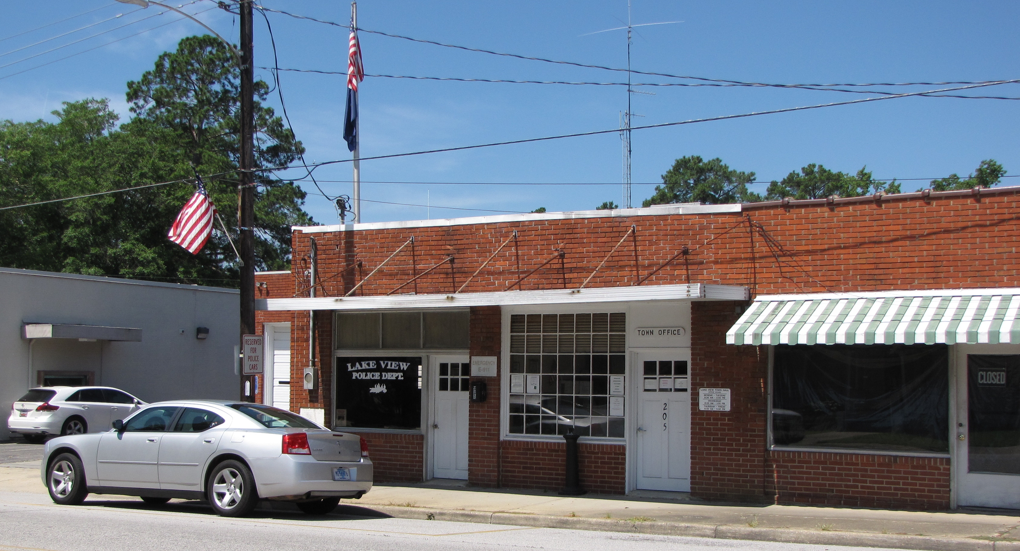
Lake View Town Hall

pages millpond

Lake View Main Street

CLOSED FOR CHRISTMAS
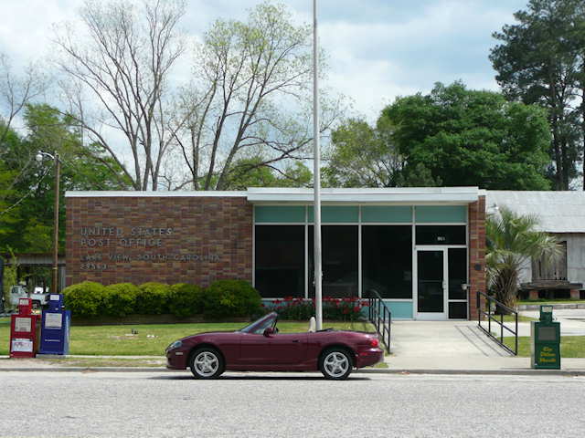
Lake View, SC 29563

Phillips 66

Old Fashion Milk Shakes

Lake View Barber Shop

Page's Mill Pond

Lake View First Baptist

Dairy Maid
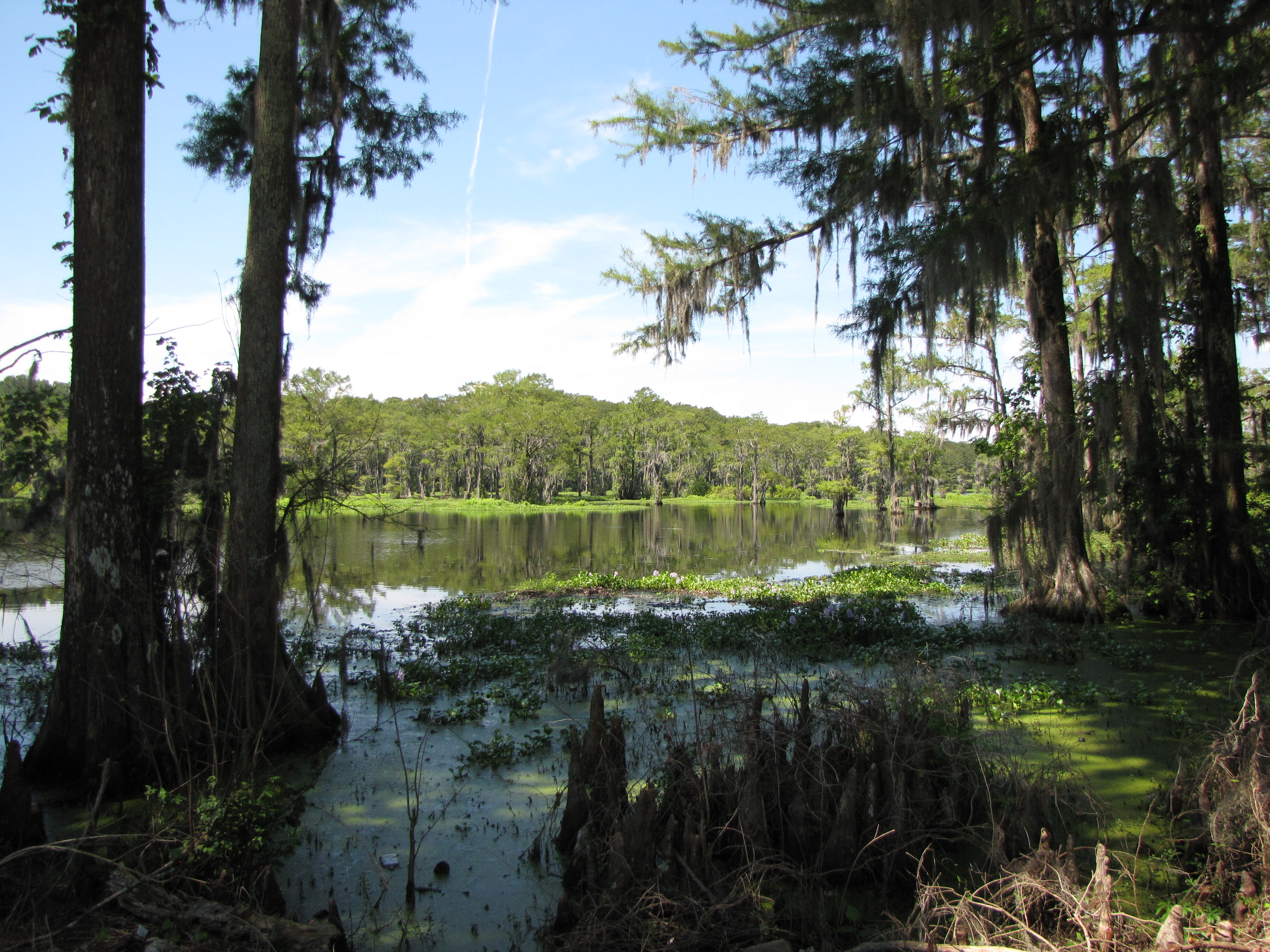
Page's Mill Pond (2)

Dairy Maid (2)

Lake View Seafood Market
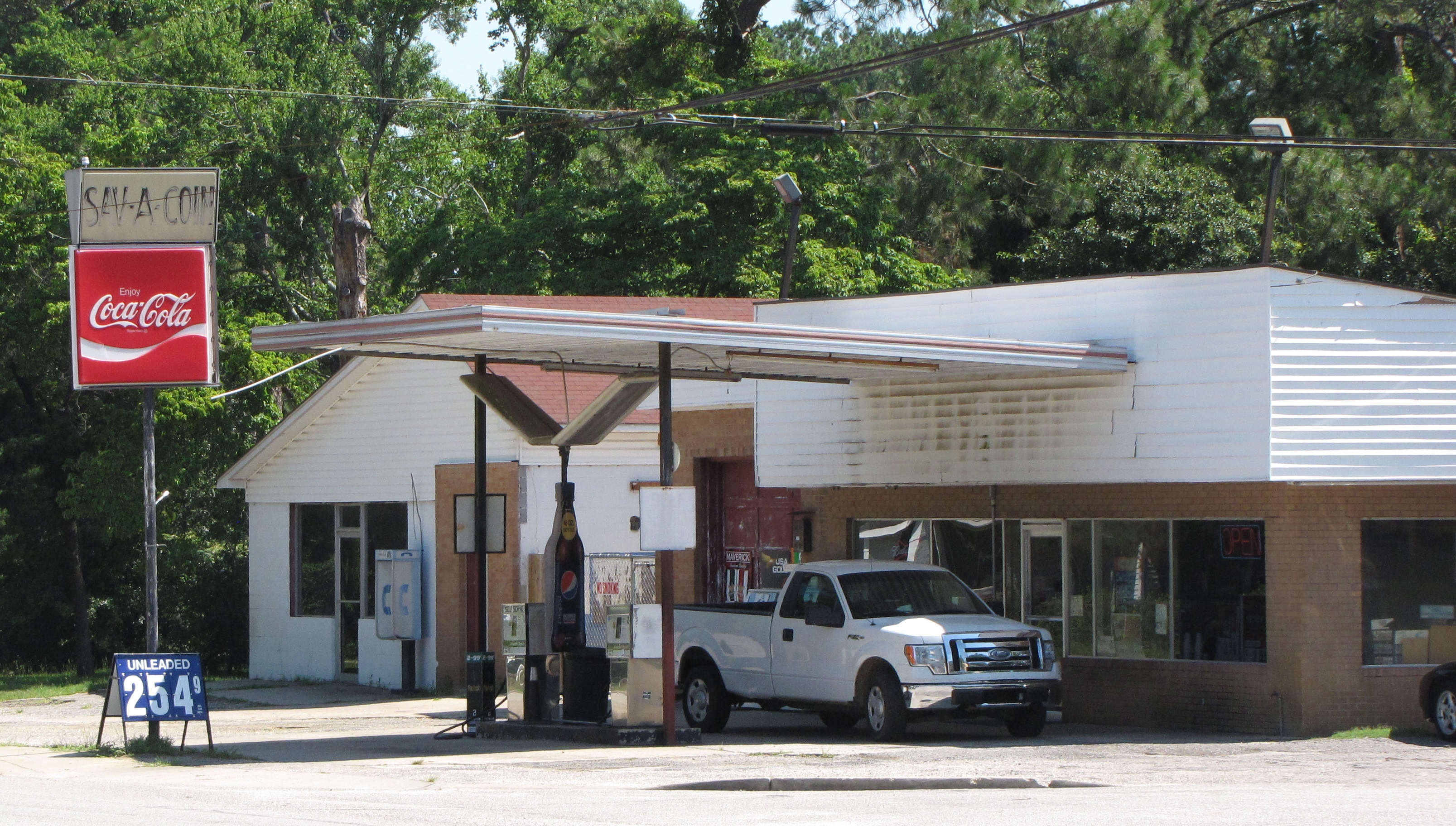
Sav A Coin

Lake View Bleachers

Lake View Scoreboard

Rest Rooms at Station

South Carolina Highway 41 in Lake View

Lake View NAPA
Topographic Map of Zion Rd, Mullins, SC, USA
Find elevation by address:

Places near Zion Rd, Mullins, SC, USA:
5444 Zion Rd
5434 Zion Rd
5444 Zion Rd
Mullins
3454 Zion Rd
3434 Zion Rd
1315 French Rd
3364 Zion Rd
Zion Rd, Mullins, SC, USA
133 Gilchrist Rd
818 Grices Ferry Ct
Little Pee Dee River
3959 Sc-917
5808 Cartwheel Rd
5808 Cartwheel Rd
5808 Cartwheel Rd
State Rd S--92, Nichols, SC, USA
Nichols
Nichols
Nichols
Recent Searches:
- Elevation of Congressional Dr, Stevensville, MD, USA
- Elevation of Bellview Rd, McLean, VA, USA
- Elevation of Stage Island Rd, Chatham, MA, USA
- Elevation of Shibuya Scramble Crossing, 21 Udagawacho, Shibuya City, Tokyo -, Japan
- Elevation of Jadagoniai, Kaunas District Municipality, Lithuania
- Elevation of Pagonija rock, Kranto 7-oji g. 8"N, Kaunas, Lithuania
- Elevation of Co Rd 87, Jamestown, CO, USA
- Elevation of Tenjo, Cundinamarca, Colombia
- Elevation of Côte-des-Neiges, Montreal, QC H4A 3J6, Canada
- Elevation of Bobcat Dr, Helena, MT, USA