Elevation of Mullins, SC, USA
Location: United States > South Carolina > Marion County >
Longitude: -79.254490
Latitude: 34.2057166
Elevation: 30m / 98feet
Barometric Pressure: 101KPa
Elevation Map:
Satellite Map:
Related Photos:

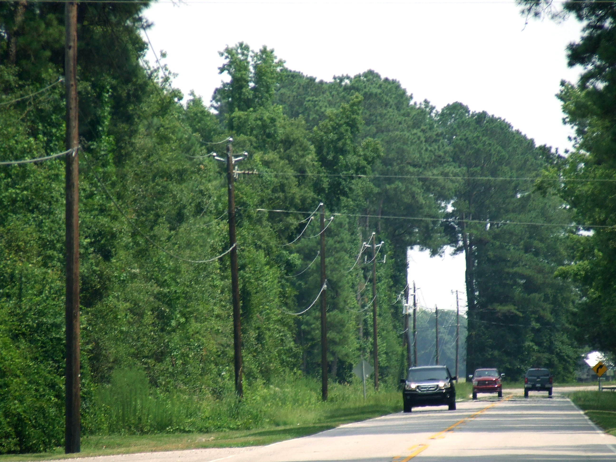
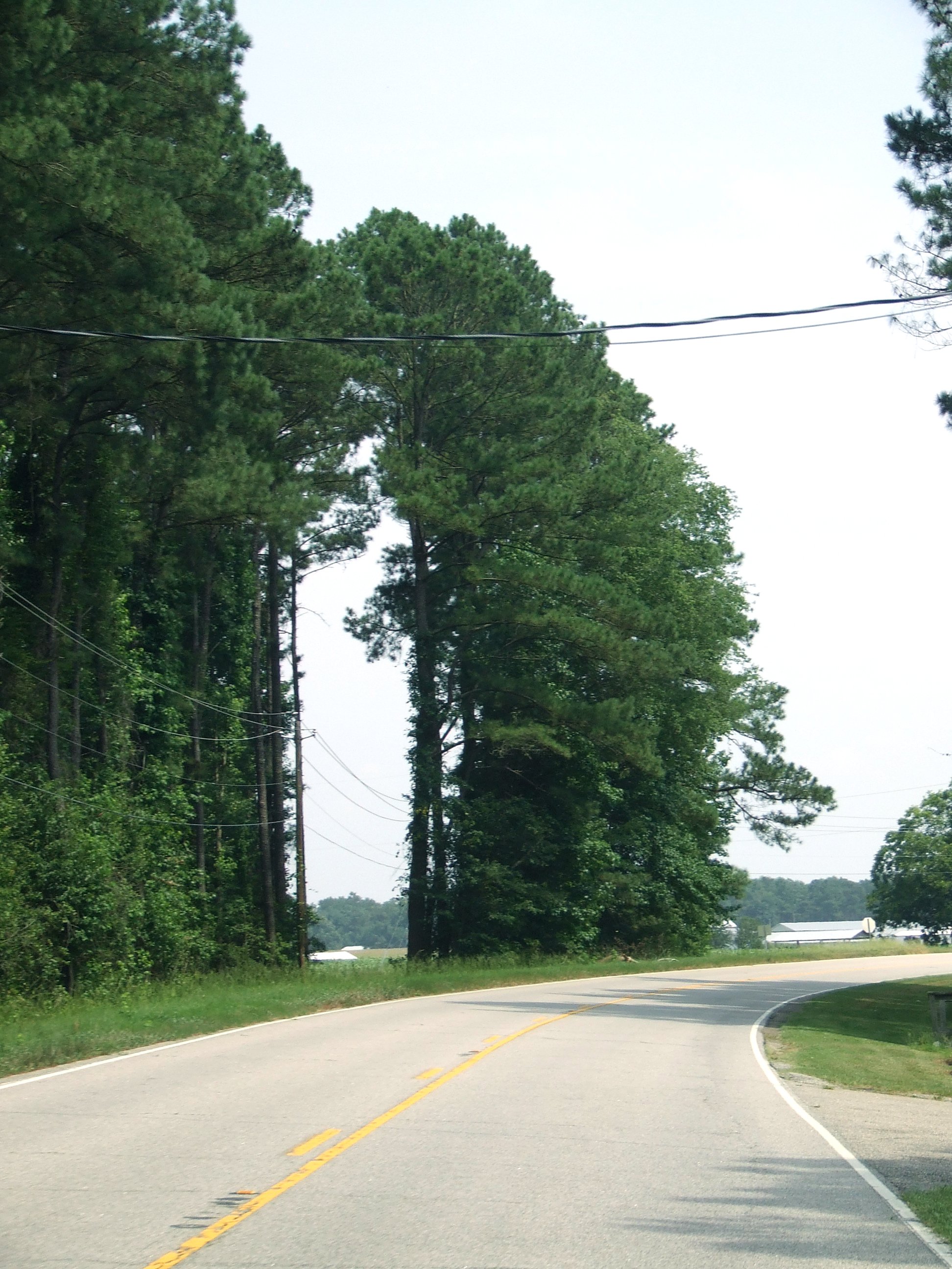

Little Pee Dee State Park
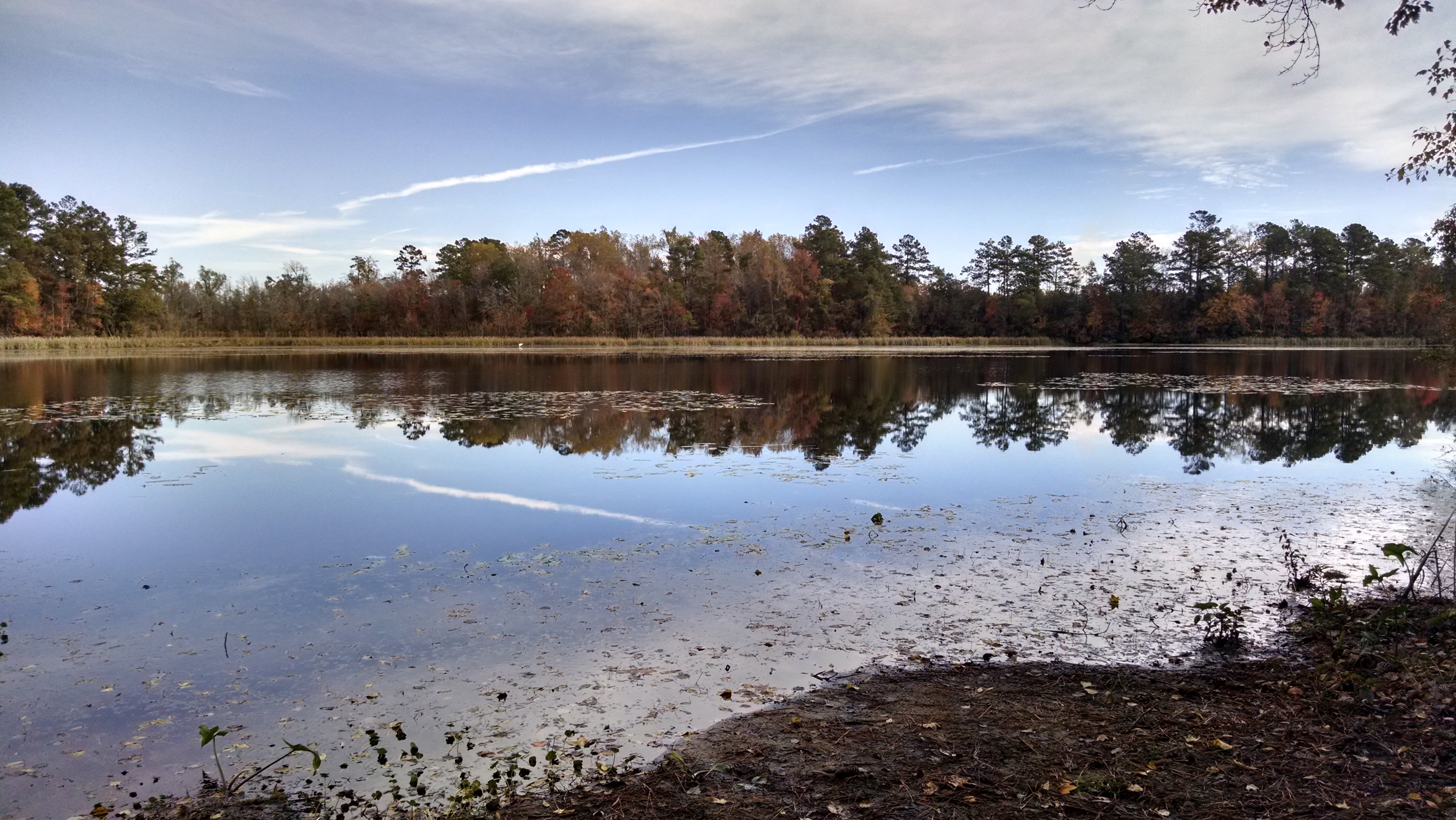
Little Pee Dee State Park

Little Pee Dee State Park
Little Pee Dee State Park
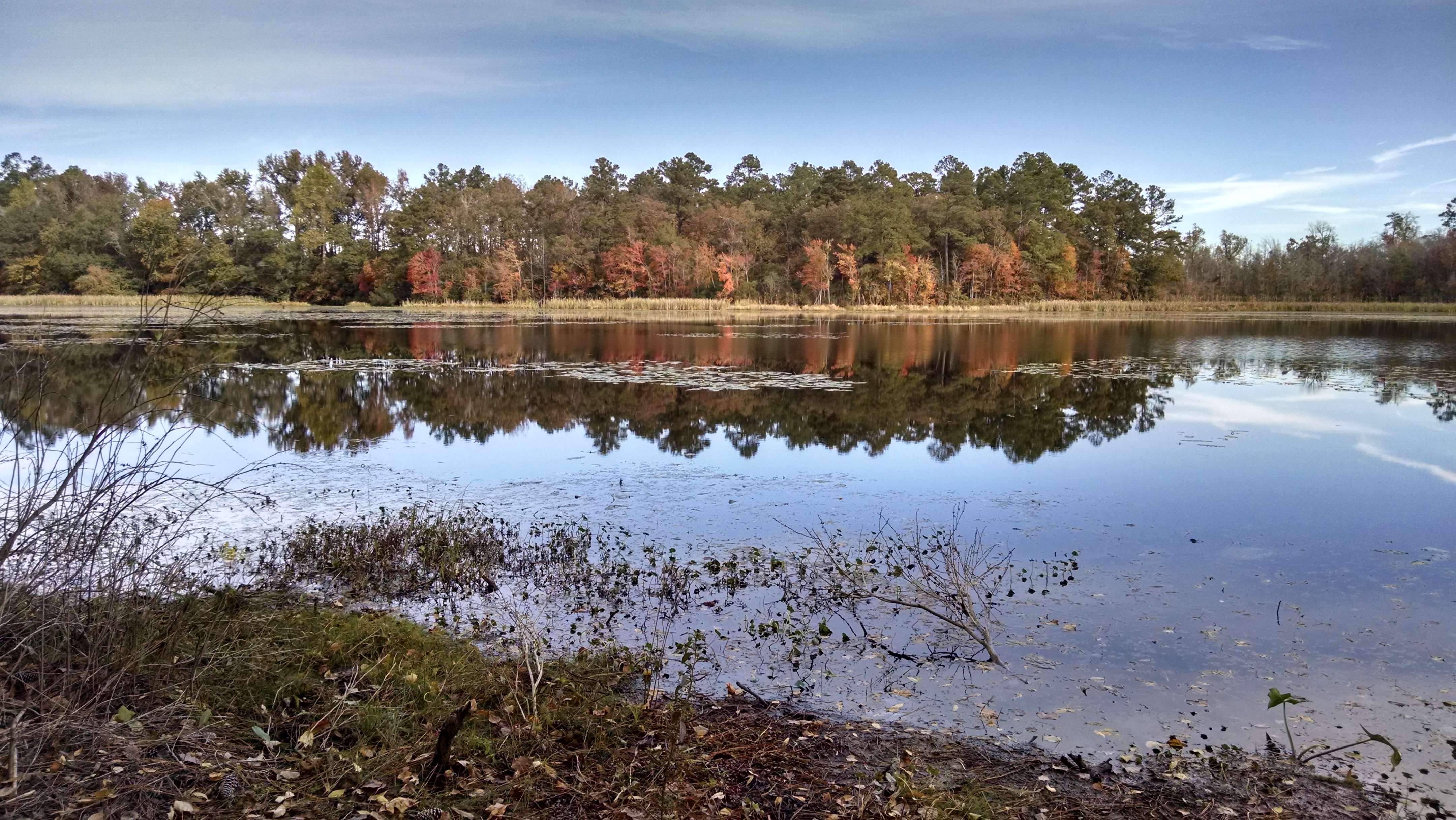
Little Pee Dee State Park

Little Pee Dee State Park

Little Pee Dee State Park
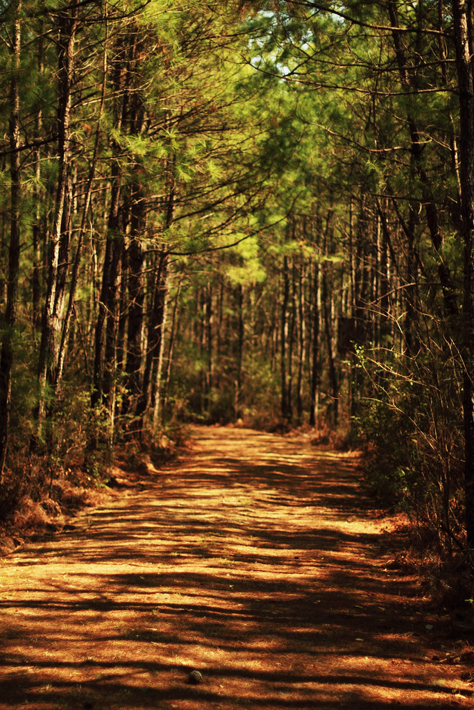
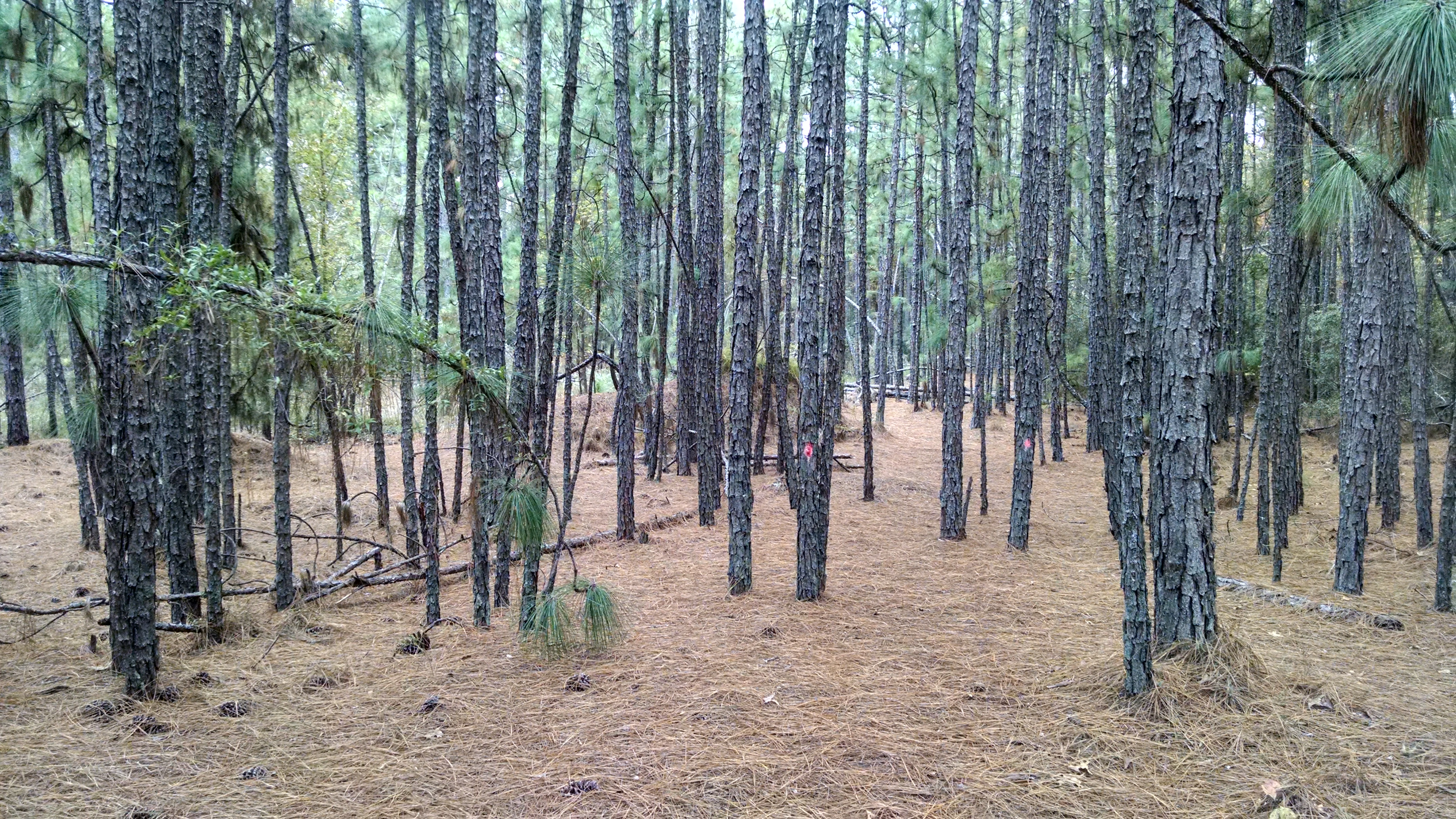
Forest Path
Topographic Map of Mullins, SC, USA
Find elevation by address:

Places in Mullins, SC, USA:
Places near Mullins, SC, USA:
5444 Zion Rd
5444 Zion Rd
5434 Zion Rd
5444 Zion Rd
1315 French Rd
133 Gilchrist Rd
3959 Sc-917
5808 Cartwheel Rd
5808 Cartwheel Rd
5808 Cartwheel Rd
3454 Zion Rd
3434 Zion Rd
818 Grices Ferry Ct
3364 Zion Rd
Zion Rd, Mullins, SC, USA
State Rd S--92, Nichols, SC, USA
Little Pee Dee River
Nichols
Nichols
Nichols
Recent Searches:
- Elevation of Elwyn Dr, Roanoke Rapids, NC, USA
- Elevation of Congressional Dr, Stevensville, MD, USA
- Elevation of Bellview Rd, McLean, VA, USA
- Elevation of Stage Island Rd, Chatham, MA, USA
- Elevation of Shibuya Scramble Crossing, 21 Udagawacho, Shibuya City, Tokyo -, Japan
- Elevation of Jadagoniai, Kaunas District Municipality, Lithuania
- Elevation of Pagonija rock, Kranto 7-oji g. 8"N, Kaunas, Lithuania
- Elevation of Co Rd 87, Jamestown, CO, USA
- Elevation of Tenjo, Cundinamarca, Colombia
- Elevation of Côte-des-Neiges, Montreal, QC H4A 3J6, Canada