Elevation of Zingsheld 1, Fleringen, Germany
Location: Germany > Rhineland-palatinate > Fleringen >
Longitude: 6.49875
Latitude: 50.1982
Elevation: 535m / 1755feet
Barometric Pressure: 95KPa
Elevation Map:
Satellite Map:
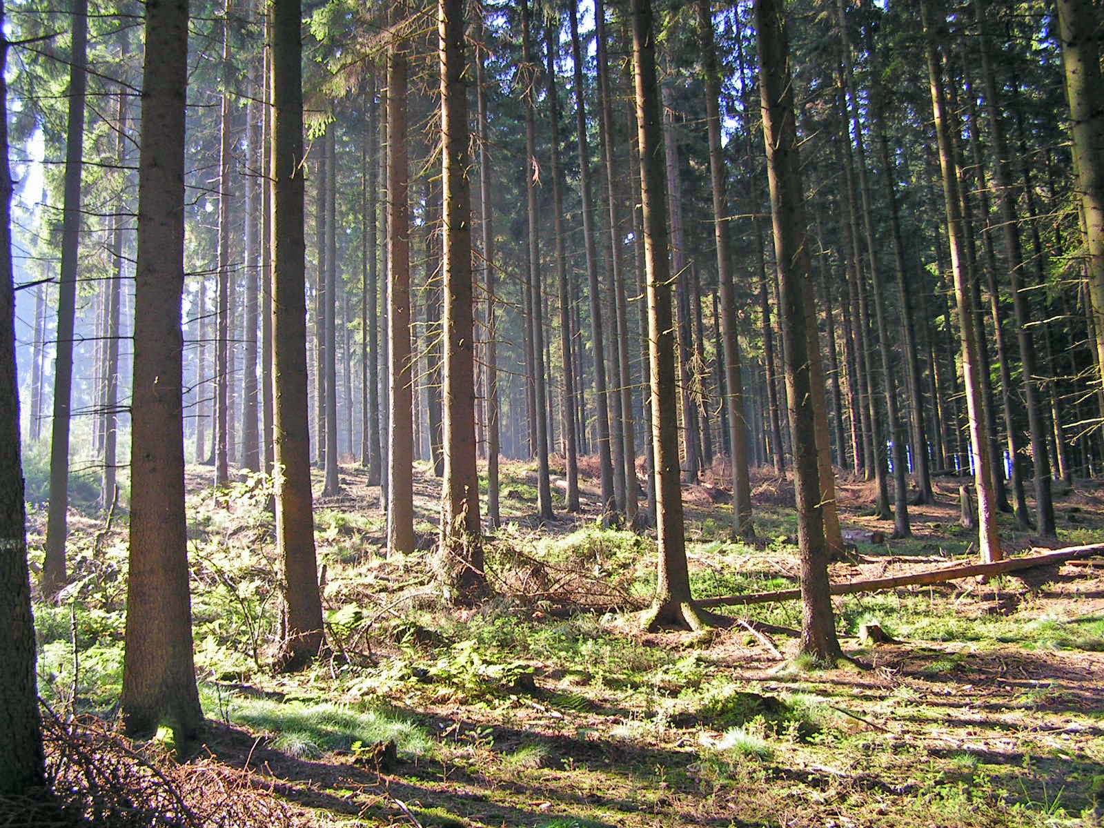
Related Photos:

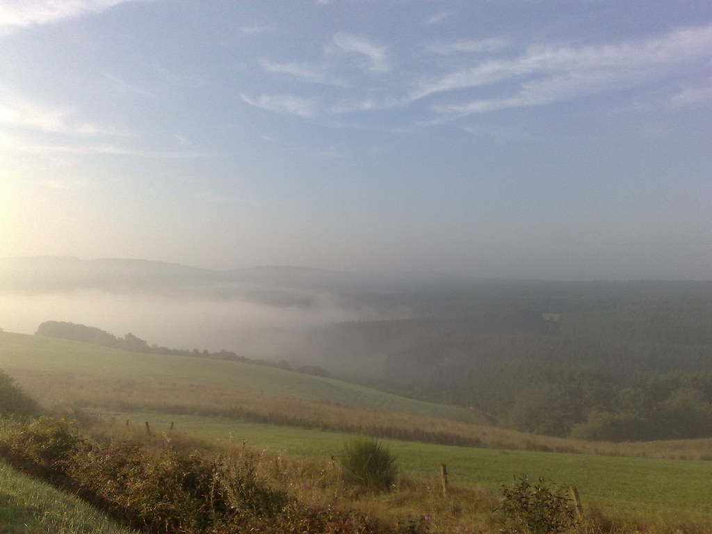
*early morning in the volcanic Eifel - panoramic view*

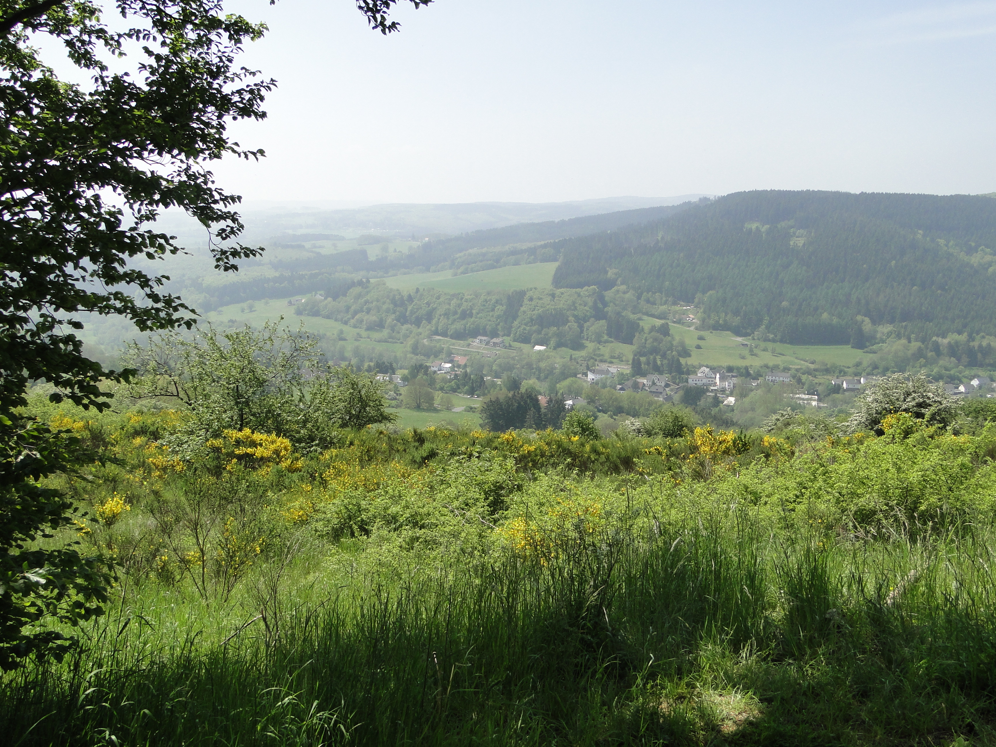
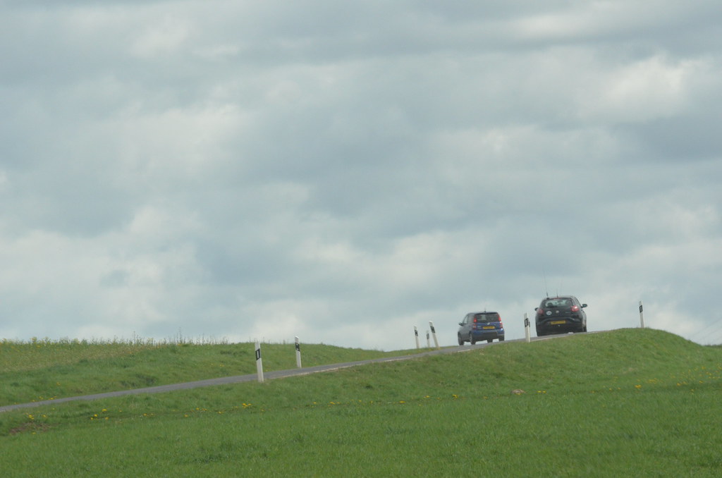
High view
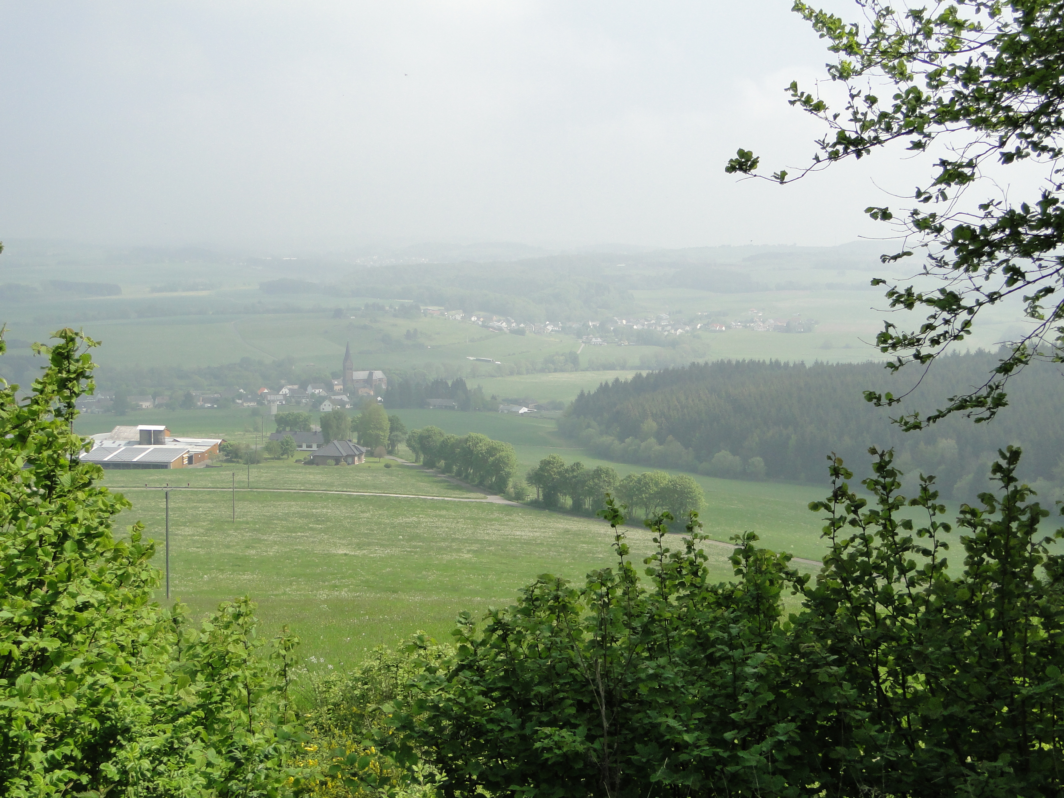
View on Müllenborn
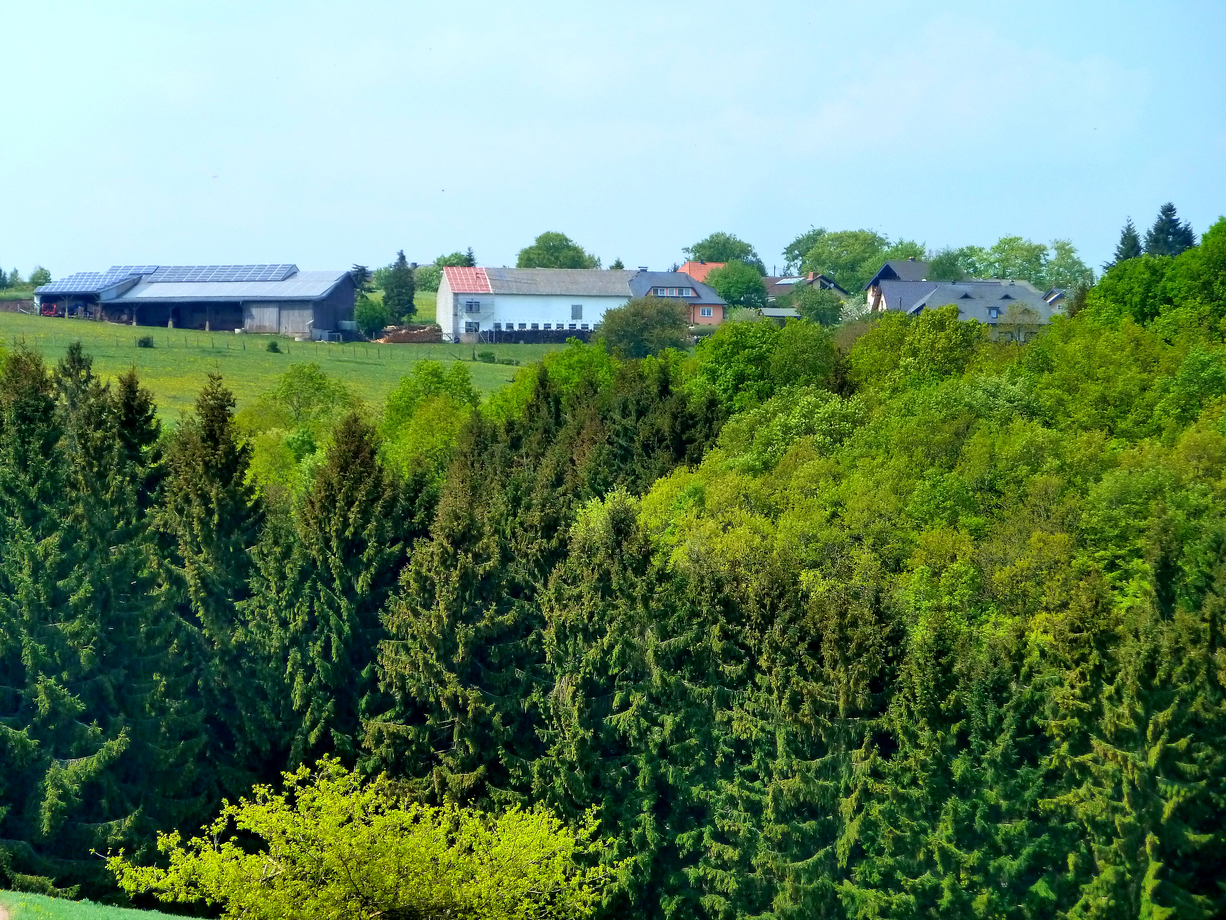
View to the village of Dohm

Der Auberg bei Gerolstein

Around tulips

*morgens um 6 in der Vulkaneifel* - *six in the morning in the volcanic Eifel*

Castle Kasselburg
2014 Germany // Eifelwanderweg-14 Rhein-Kyll-Weg
2014 Germany // Eifelwanderweg-14 Rhein-Kyll-Weg

Gerolstein, Duitsland
Journey from Malmedy to Adenau
Eifel: Enztal Radweg
01/11/2009
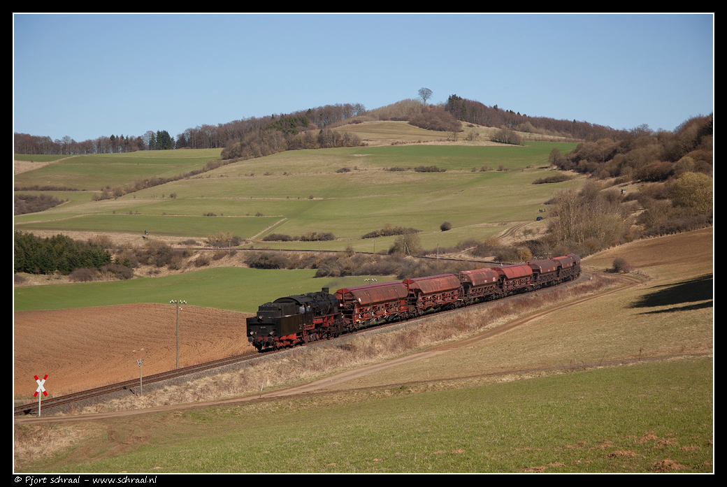
58 311 te Rockeskyll op 6 April 2010

Altburger bach

DSC02269 (2)_bewerkt-1.jpg

#landscape #autumn
#landscape #clouds
Altburger bach

Gewone ereprijs

Votivkapelle Wahlhausen
Journey from Malmedy to Adenau
De ruïnes van de Löwenburcht
Sunrise, sun rise
Topographic Map of Zingsheld 1, Fleringen, Germany
Find elevation by address:

Places near Zingsheld 1, Fleringen, Germany:
Fleringen
Weinsheim
Straßburger Str. 23, Weinsheim, Germany
Rommersheim
Lehmbachstraße 27, Rommersheim, Germany
Hauptstraße 48, Duppach, Germany
Duppach
Gondenbrett
Neuheilenbach
Niedermehlen
Hinterhausen
Bleialfer Str. 5, Gondenbrett, Germany
Hinterhausener Str. 11, Gerolstein, Germany
Orlenbach
St.-Vither-Straße 1, Orlenbach, Germany
Schloßheck
Prümer Str. 30
Gerolstein
Niederbettingen
Auw bei Prüm, Germany
Recent Searches:
- Elevation of 72-31 Metropolitan Ave, Middle Village, NY, USA
- Elevation of 76 Metropolitan Ave, Brooklyn, NY, USA
- Elevation of Alisal Rd, Solvang, CA, USA
- Elevation of Vista Blvd, Sparks, NV, USA
- Elevation of 15th Ave SE, St. Petersburg, FL, USA
- Elevation of Beall Road, Beall Rd, Florida, USA
- Elevation of Leguwa, Nepal
- Elevation of County Rd, Enterprise, AL, USA
- Elevation of Kolchuginsky District, Vladimir Oblast, Russia
- Elevation of Shustino, Vladimir Oblast, Russia