Elevation of Lehmbachstraße 27, Rommersheim, Germany
Location: Germany > Rhineland-palatinate > Rommersheim >
Longitude: 6.4443027
Latitude: 50.1927238
Elevation: 476m / 1562feet
Barometric Pressure: 96KPa
Elevation Map:
Satellite Map:
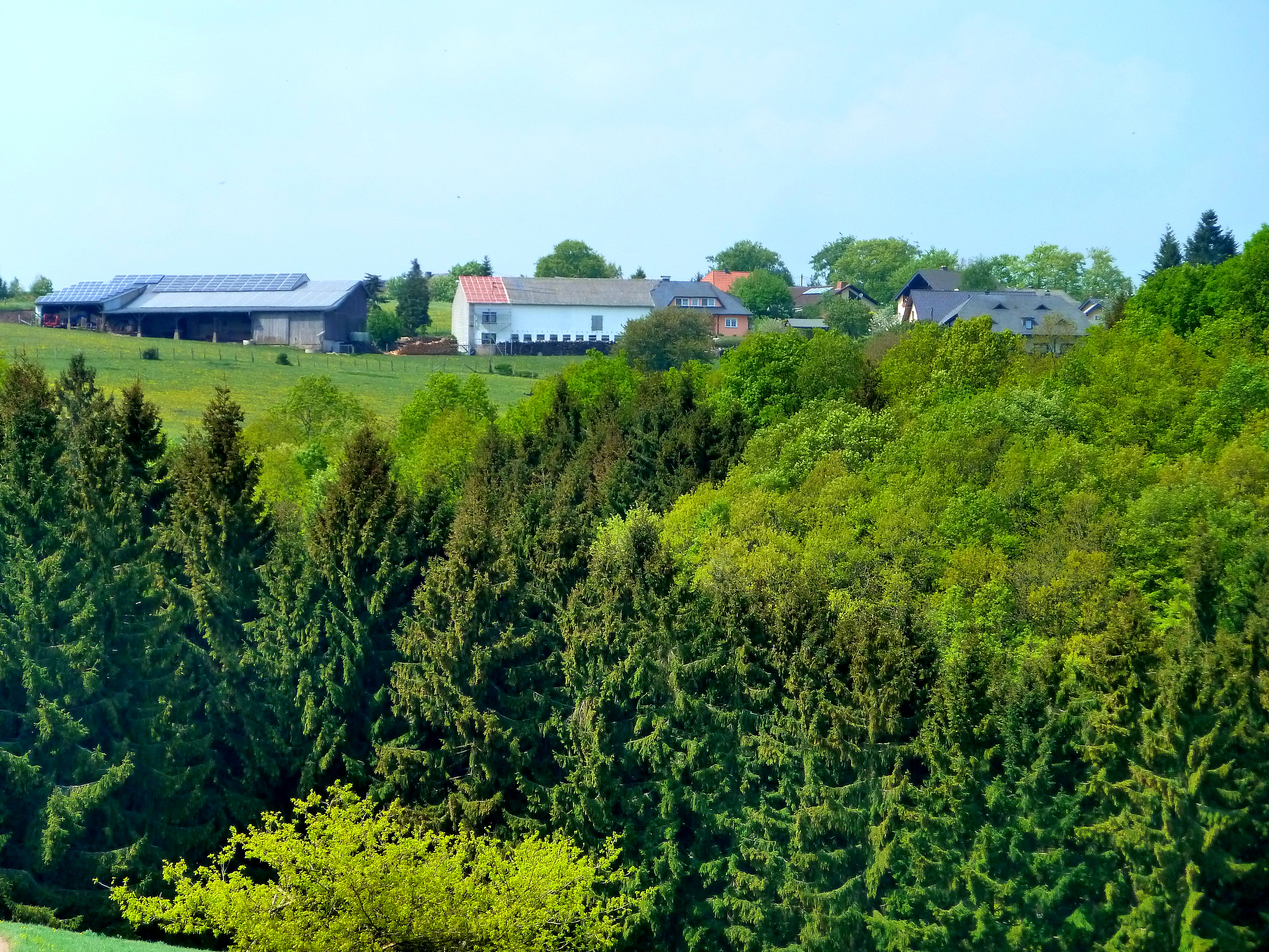
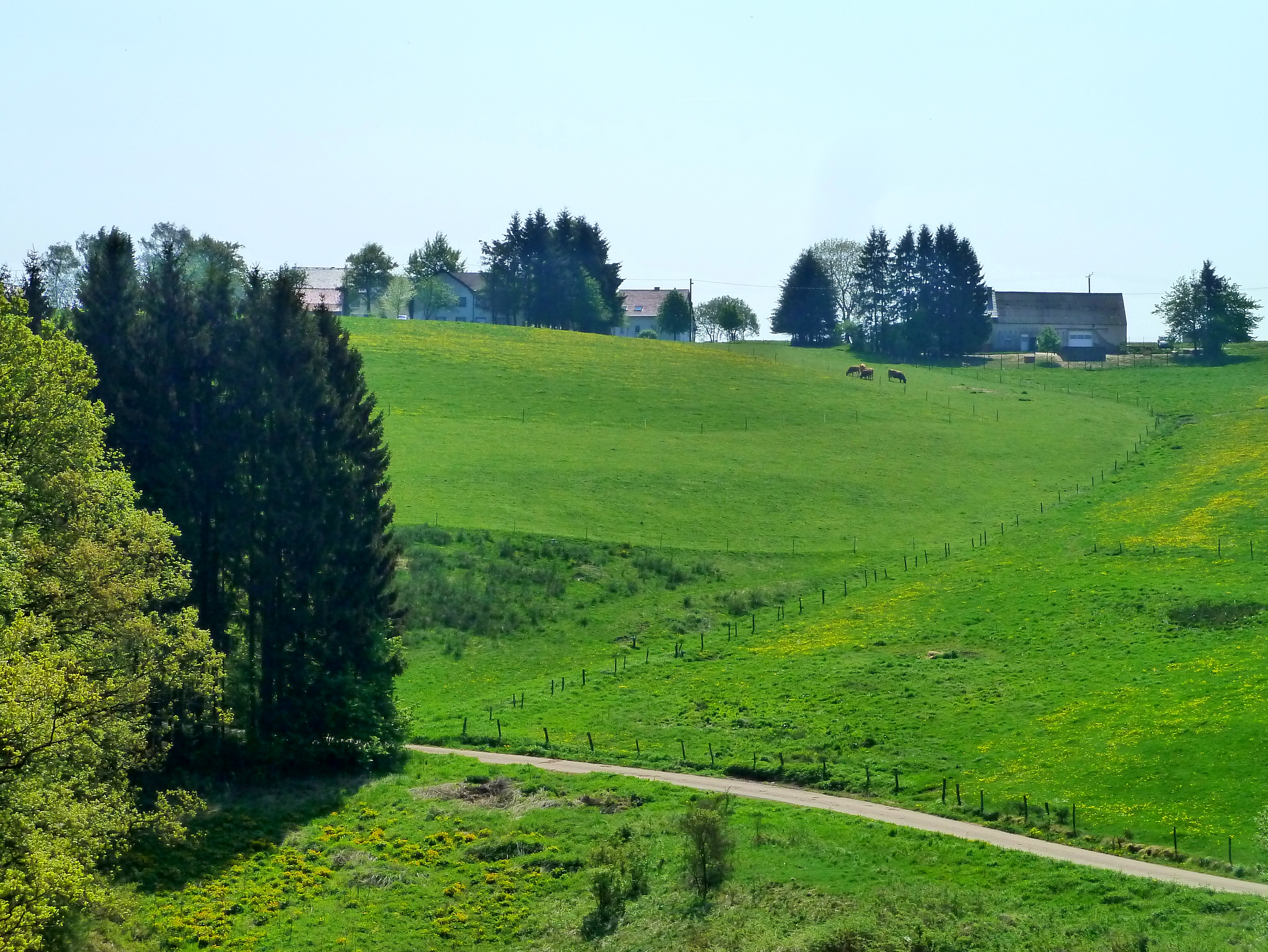
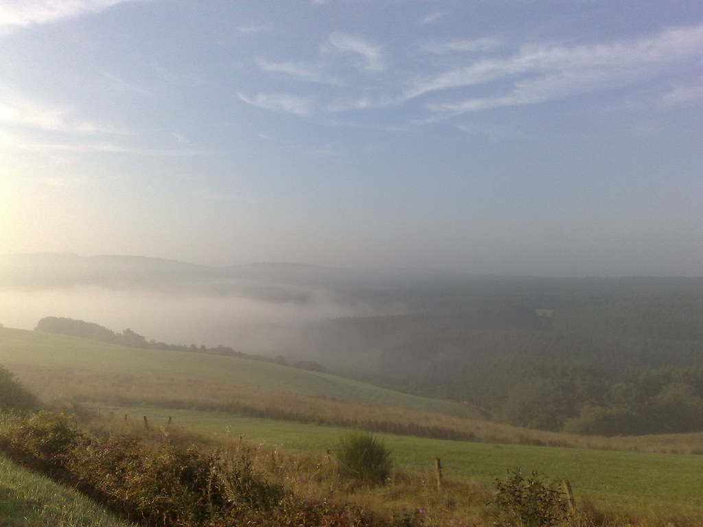
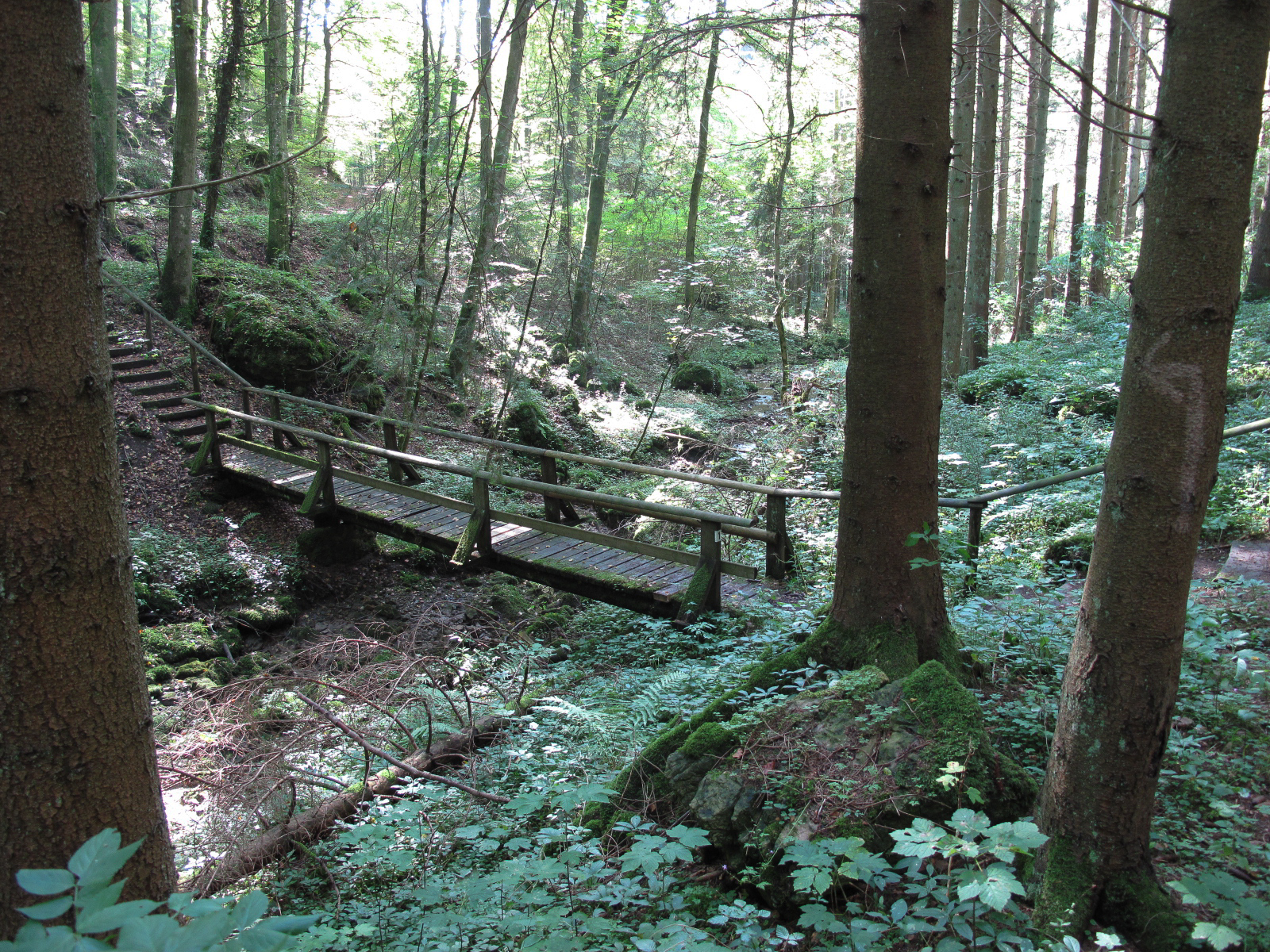
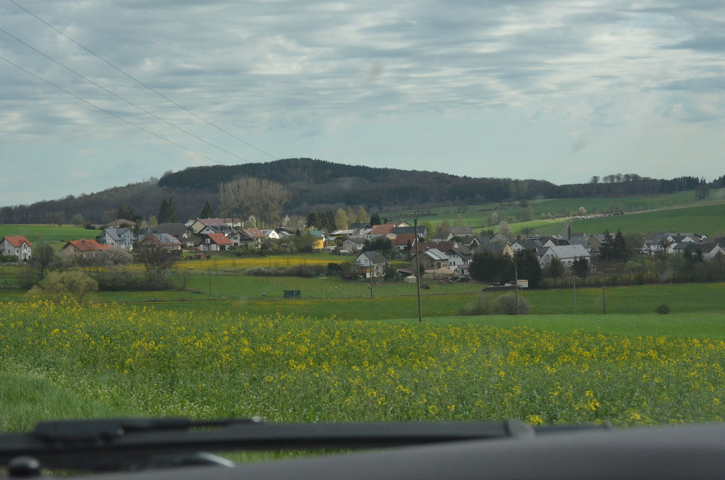
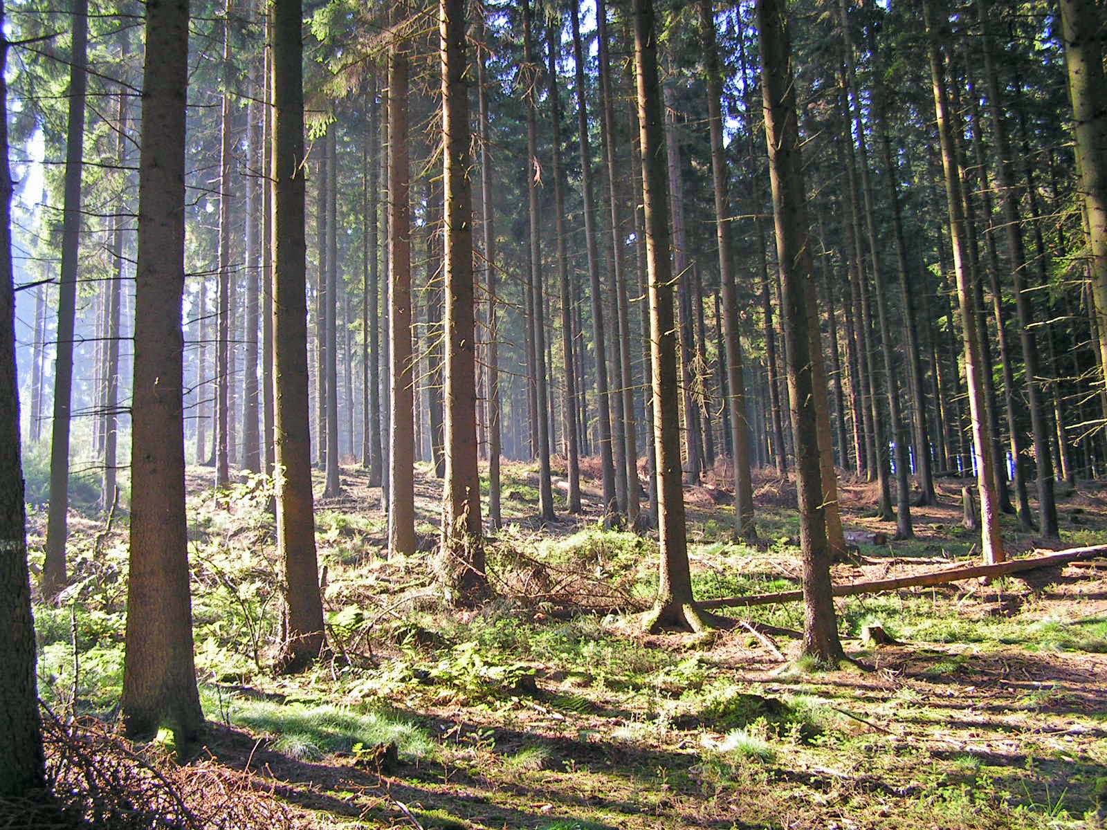
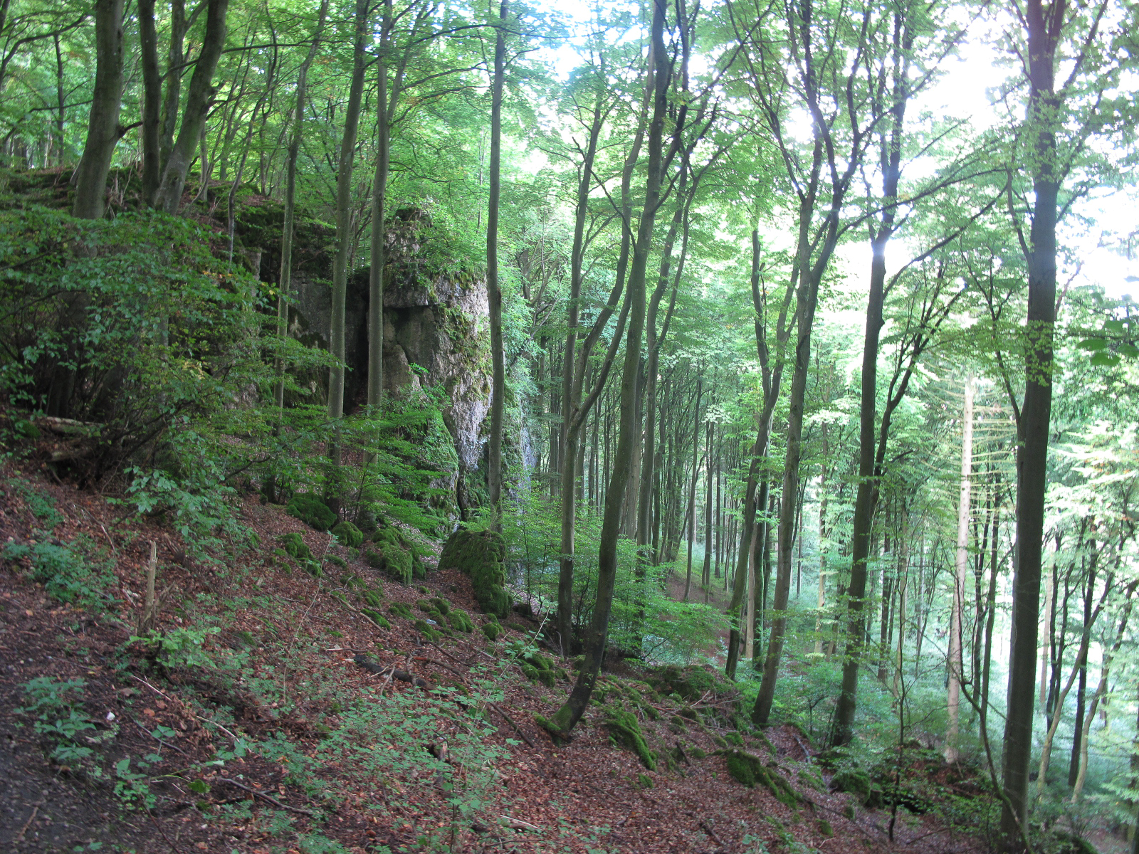
Related Photos:

All together now...!

*early morning in the volcanic Eifel - panoramic view*
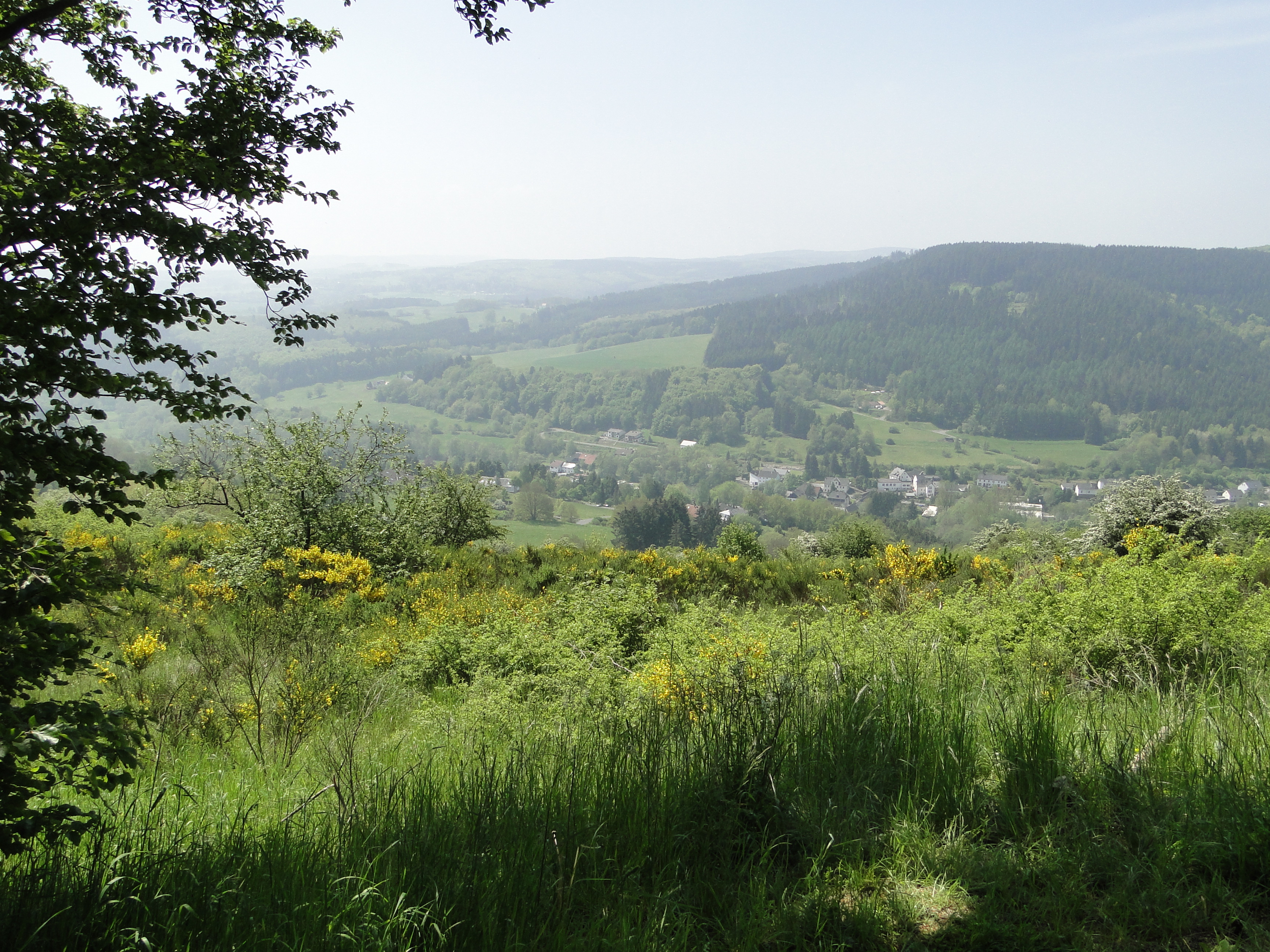
View on Müllenborn
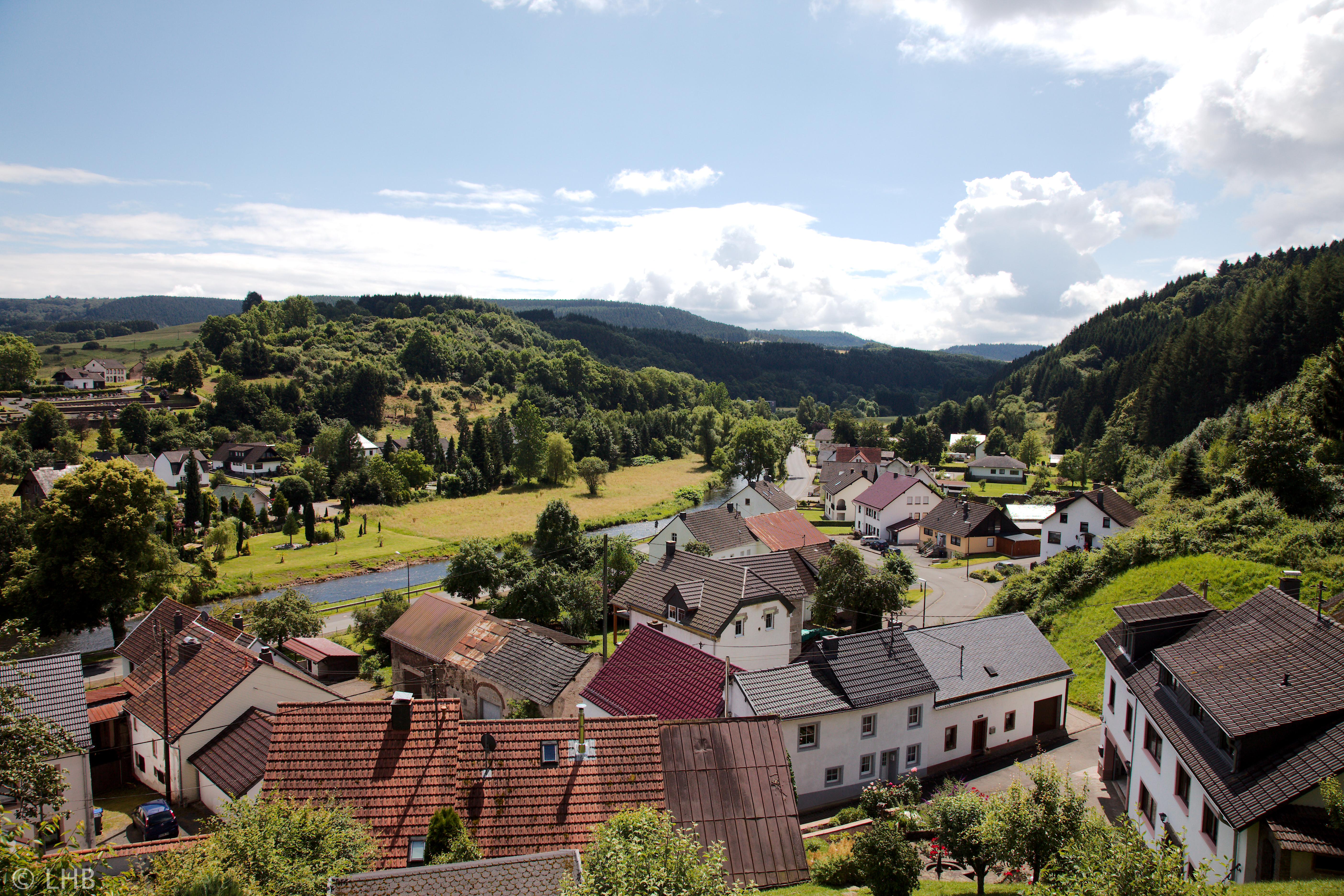
View from Bertradeburg

*morgens um 6 in der Vulkaneifel* - *six in the morning in the volcanic Eifel*
"Bauernmalerei" - GeoArt - Strange Ways - Landscape painting and me, the photographer. Kite-Aerial-Photography

Gerolstein, Duitsland
Journey from Malmedy to Adenau
Eifel: Enztal Radweg
Eifel: Enztal Radweg
01/11/2009

Altburger bach

DSC02269 (2)_bewerkt-1.jpg
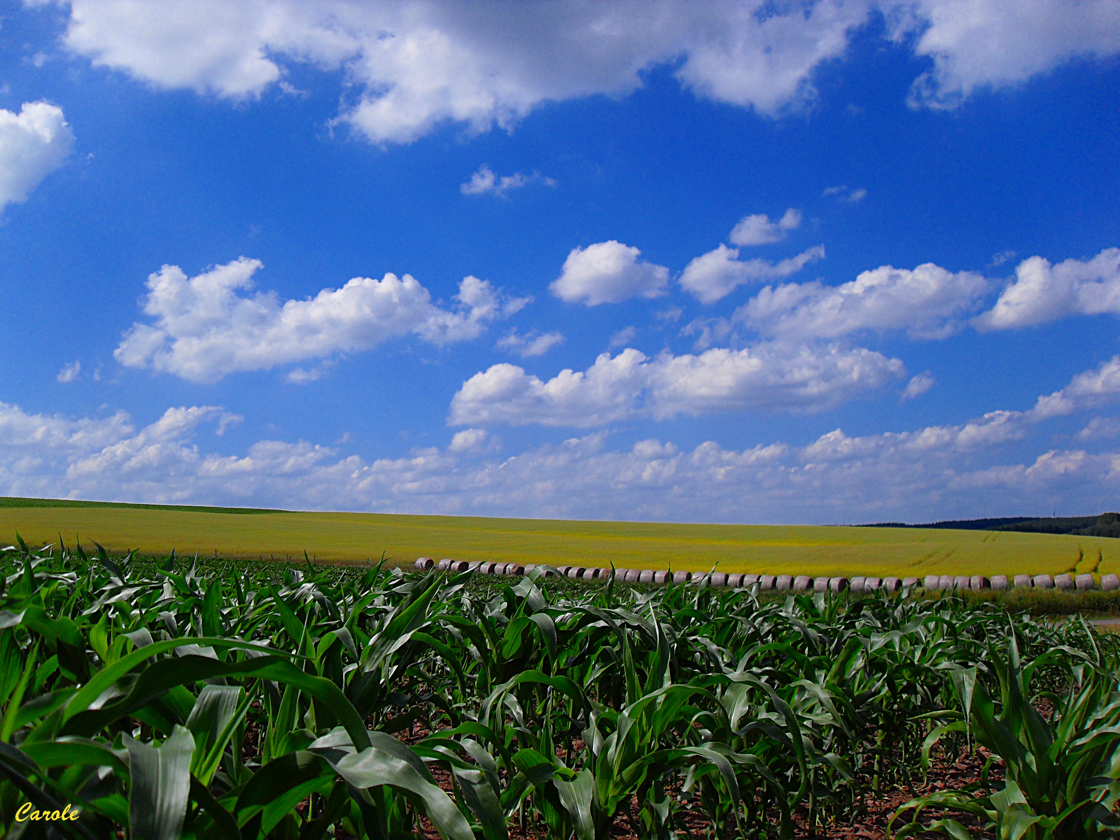
Maïs, colza et boules de foin
Altburger bach

Votivkapelle Wahlhausen

Around tulips
Journey from Malmedy to Adenau
Sunrise, sun rise

Buchenlochhöhle

Felsenhof Gerolstein.Young Fieldfare

Votivkapelle Wahlhausen

My daughters @ ferienpark Felsenhof
IMG_5709.jpg
Topographic Map of Lehmbachstraße 27, Rommersheim, Germany
Find elevation by address:

Places near Lehmbachstraße 27, Rommersheim, Germany:
Rommersheim
Straßburger Str. 23, Weinsheim, Germany
Weinsheim
Gondenbrett
Zingsheld 1, Fleringen, Germany
Fleringen
Niedermehlen
Bleialfer Str. 5, Gondenbrett, Germany
Orlenbach
St.-Vither-Straße 1, Orlenbach, Germany
Schloßheck
Prümer Str. 30
Auw bei Prüm, Germany
Lünebach
Hauptstraße 48, Duppach, Germany
Duppach
Neuheilenbach
Hinterhausen
Hinterhausener Str. 11, Gerolstein, Germany
Niederbettingen
Recent Searches:
- Elevation of 72-31 Metropolitan Ave, Middle Village, NY, USA
- Elevation of 76 Metropolitan Ave, Brooklyn, NY, USA
- Elevation of Alisal Rd, Solvang, CA, USA
- Elevation of Vista Blvd, Sparks, NV, USA
- Elevation of 15th Ave SE, St. Petersburg, FL, USA
- Elevation of Beall Road, Beall Rd, Florida, USA
- Elevation of Leguwa, Nepal
- Elevation of County Rd, Enterprise, AL, USA
- Elevation of Kolchuginsky District, Vladimir Oblast, Russia
- Elevation of Shustino, Vladimir Oblast, Russia