Elevation of Ziarat, Pakistan
Location: Pakistan > Balochistan > Ziarat >
Longitude: 67.7243417
Latitude: 30.3829282
Elevation: 2431m / 7976feet
Barometric Pressure: 75KPa
Elevation Map:
Satellite Map:
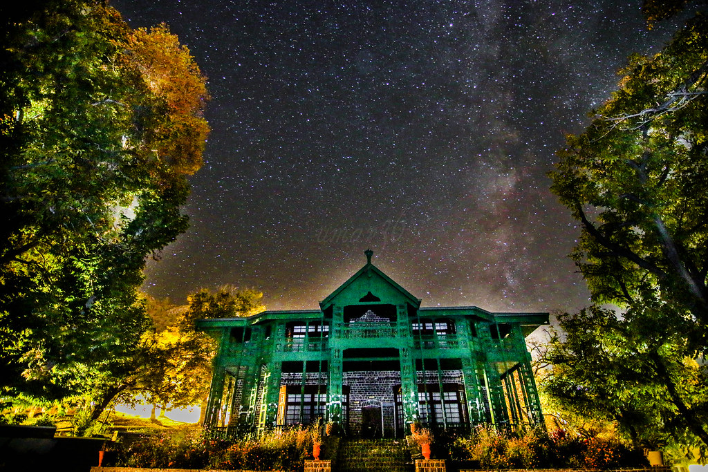
Related Photos:
Dedication

"It's fun to peek into other people's world's and see how they go about doing things" - Norah Jones
Topographic Map of Ziarat, Pakistan
Find elevation by address:

Places near Ziarat, Pakistan:
Recent Searches:
- Elevation of E 63rd St, New York, NY, USA
- Elevation of Elk City, OK, USA
- Elevation of Erika Dr, Windsor, CA, USA
- Elevation of Village Ln, Finleyville, PA, USA
- Elevation of 24 Oakland Rd #, Scotland, ON N0E 1R0, Canada
- Elevation of Deep Gap Farm Rd E, Mill Spring, NC, USA
- Elevation of Dog Leg Dr, Minden, NV, USA
- Elevation of Dog Leg Dr, Minden, NV, USA
- Elevation of Kambingan Sa Pansol Atbp., Purok 7 Pansol, Candaba, Pampanga, Philippines
- Elevation of Pinewood Dr, New Bern, NC, USA