Elevation of z.p.school shirgaon(V), Sangli - Vita Rd, Shirgaon, Maharashtra, India
Location: India > Maharashtra > Sangli > Shirgaon >
Longitude: 74.5682115
Latitude: 17.1064462
Elevation: 591m / 1939feet
Barometric Pressure: 94KPa
Elevation Map:
Satellite Map:
Related Photos:

Driving to sangli, my home
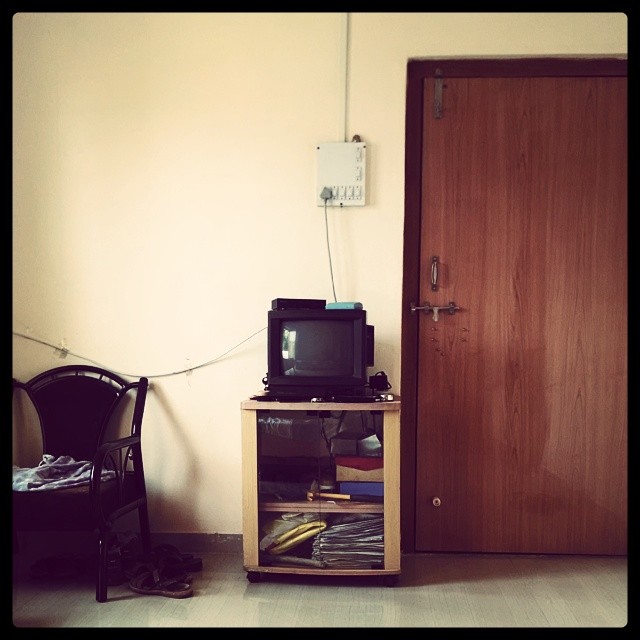
OL_D TV ; )

Int#rusting
Seen better days

The #door that was #lock ed

Setting #sun

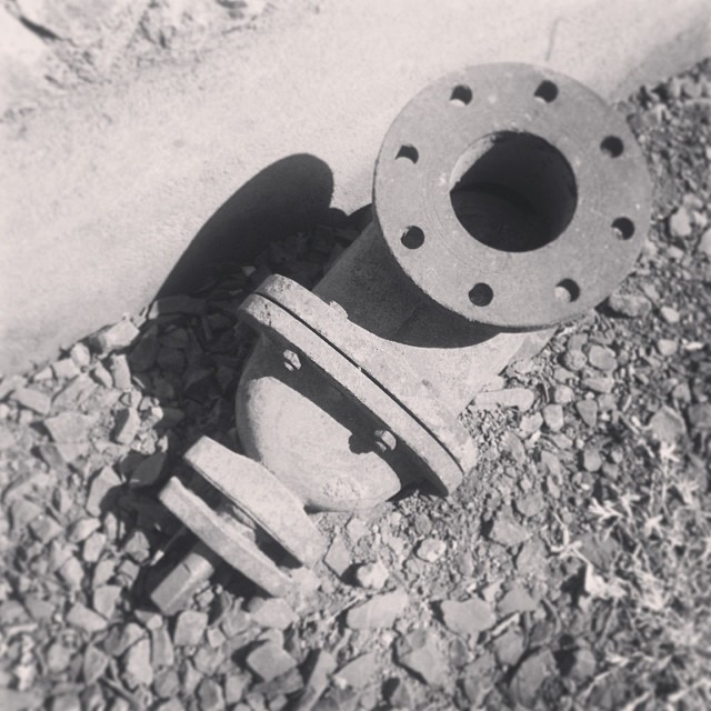
The #traction #unit

The #traction #unit

#setting #sun #sunset in the #farms

Unusual Edit

An Evening
Topographic Map of z.p.school shirgaon(V), Sangli - Vita Rd, Shirgaon, Maharashtra, India
Find elevation by address:

Places near z.p.school shirgaon(V), Sangli - Vita Rd, Shirgaon, Maharashtra, India:
Turchi
Limb
Gotewadi
Bamani
Hatnur
Bhairvawadi
Chinchani
Aravade
Lodhe
Manjarde
Kaulage
Sawarde
Sangli
Ped
Waghapur
Balgavade Lake
Gaurgaon
Biranwadi
Vajrachounde
Savlaj
Recent Searches:
- Elevation of SW Elderview Dr, Sherwood, OR, USA
- Elevation of Hickory St, Greenville, NC, USA
- Elevation of Poplar Ln, Guffey, CO, USA
- Elevation of Falling Spring Rd, Clyde, NC, USA
- Elevation of Kingsfield St, Castle Rock, CO, USA
- Elevation of AMELIA CT HSE, VA, USA
- Elevation of Abbey Dr, Virginia Beach, VA, USA
- Elevation of Brooks Lp, Spearfish, SD, USA
- Elevation of Panther Dr, Maggie Valley, NC, USA
- Elevation of Jais St - Wadi Shehah - Ras al Khaimah - United Arab Emirates