Elevation of Hatnur, Maharashtra, India
Location: India > Maharashtra > Sangli >
Longitude: 74.6319916
Latitude: 17.1527665
Elevation: 651m / 2136feet
Barometric Pressure: 94KPa
Elevation Map:
Satellite Map:
Related Photos:

Driving to sangli, my home
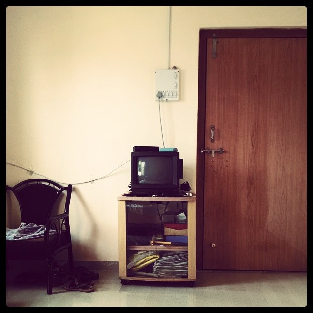
OL_D TV ; )

Int#rusting
Seen better days

The #door that was #lock ed

Setting #sun
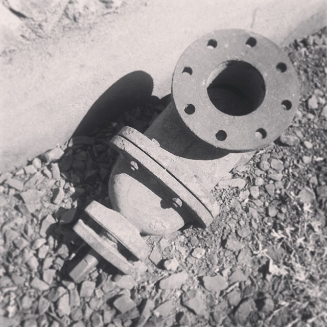
The #traction #unit

The #traction #unit

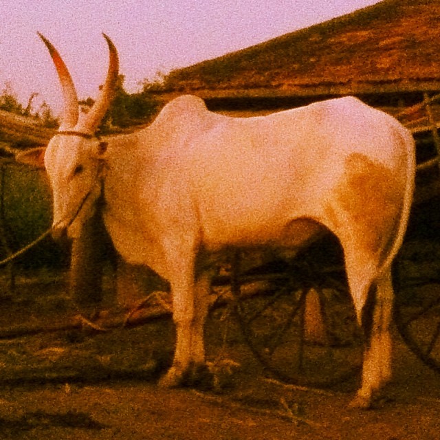
#setting #sun #sunset in the #farms
Topographic Map of Hatnur, Maharashtra, India
Find elevation by address:

Places near Hatnur, Maharashtra, India:
Gotewadi
Manjarde
Sangli
Ped
Bamani
Aravade
Limb
Balgavade Lake
Gaurgaon
Bhairvawadi
Z.p.school Shirgaon(v)
Lodhe
Kaulage
Waghapur
Chinchani
Sawarde
Biranwadi
Turchi
Savlaj
Sidhewadi
Recent Searches:
- Elevation of Congressional Dr, Stevensville, MD, USA
- Elevation of Bellview Rd, McLean, VA, USA
- Elevation of Stage Island Rd, Chatham, MA, USA
- Elevation of Shibuya Scramble Crossing, 21 Udagawacho, Shibuya City, Tokyo -, Japan
- Elevation of Jadagoniai, Kaunas District Municipality, Lithuania
- Elevation of Pagonija rock, Kranto 7-oji g. 8"N, Kaunas, Lithuania
- Elevation of Co Rd 87, Jamestown, CO, USA
- Elevation of Tenjo, Cundinamarca, Colombia
- Elevation of Côte-des-Neiges, Montreal, QC H4A 3J6, Canada
- Elevation of Bobcat Dr, Helena, MT, USA