Elevation of Yuriria, Guanajuato, Mexico
Location: Mexico > Guanajuato > Yuriria >
Longitude: -101.13059
Latitude: 20.210945
Elevation: 1758m / 5768feet
Barometric Pressure: 82KPa
Elevation Map:
Satellite Map:
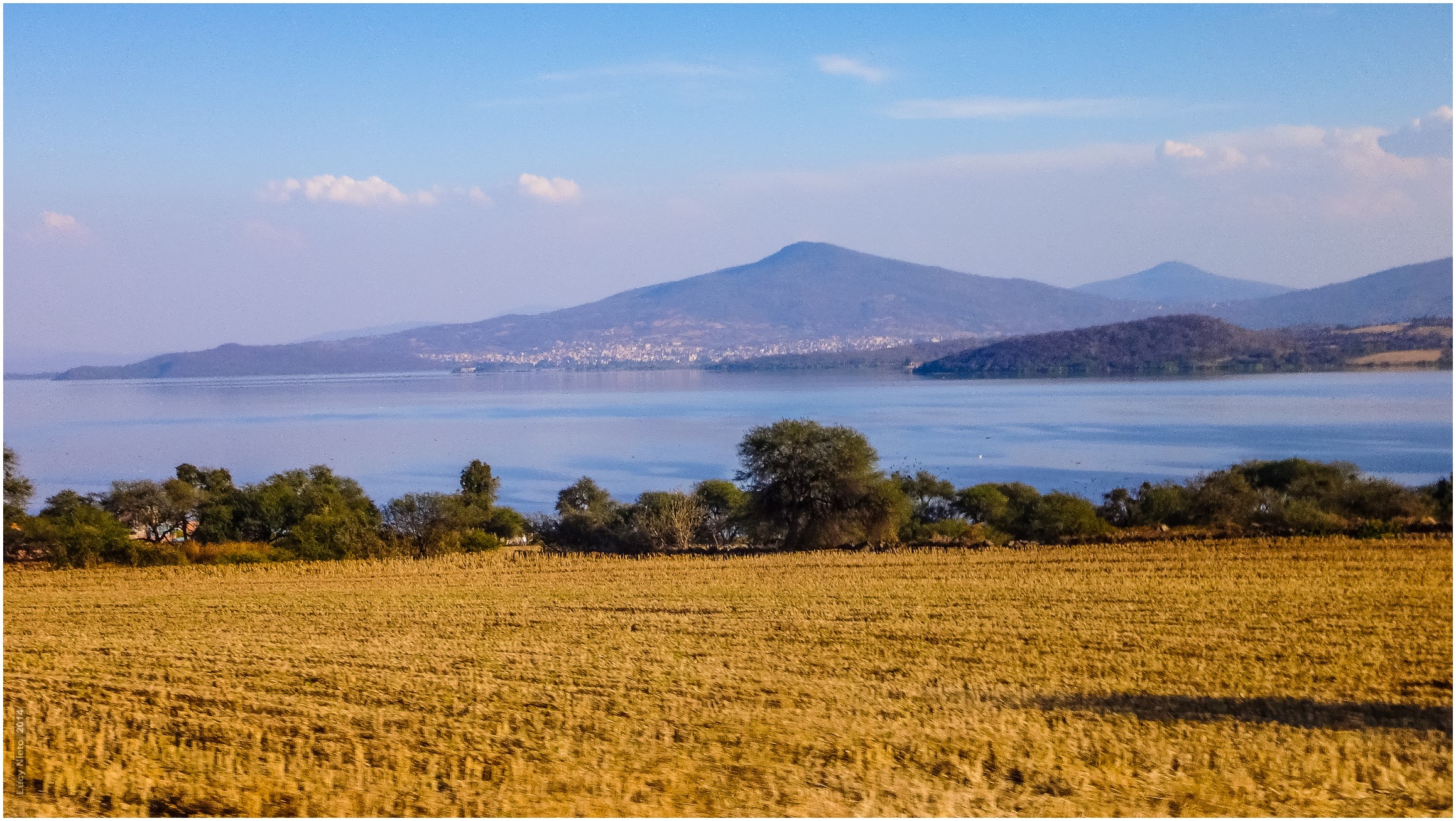
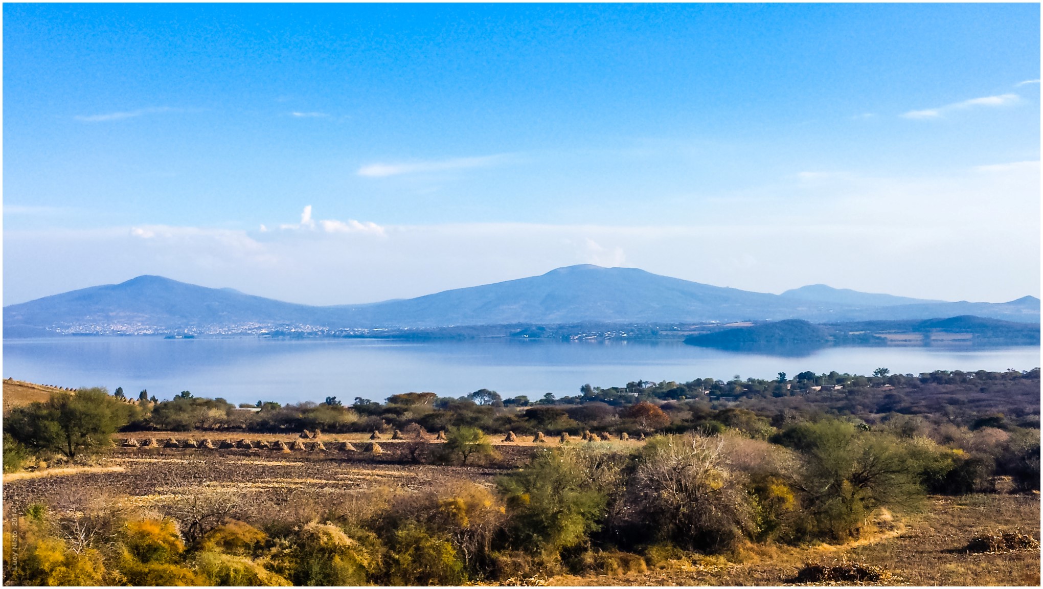
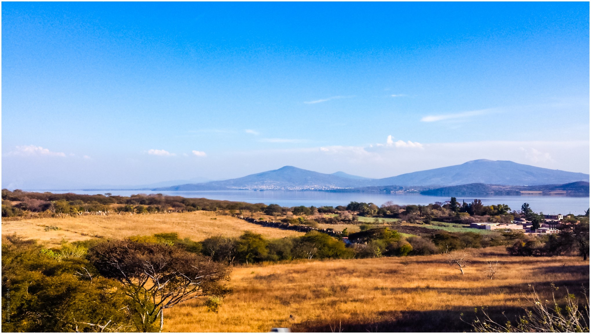
Related Photos:

Yuriria - Guanajuato México140125 171358 S4 PMM
Yuriria - Guanajuato México140125 171140 TX30 7189
Yuriria - Guanajuato México140125 171359 S4 PMM
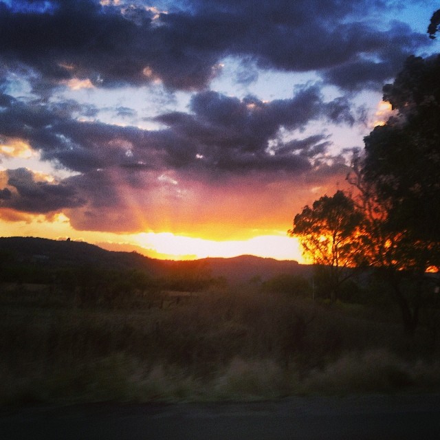
Los últimos rayos de sol que se despiden así
Yuriria - Guanajuato México140125 171332 10 S4 PMM
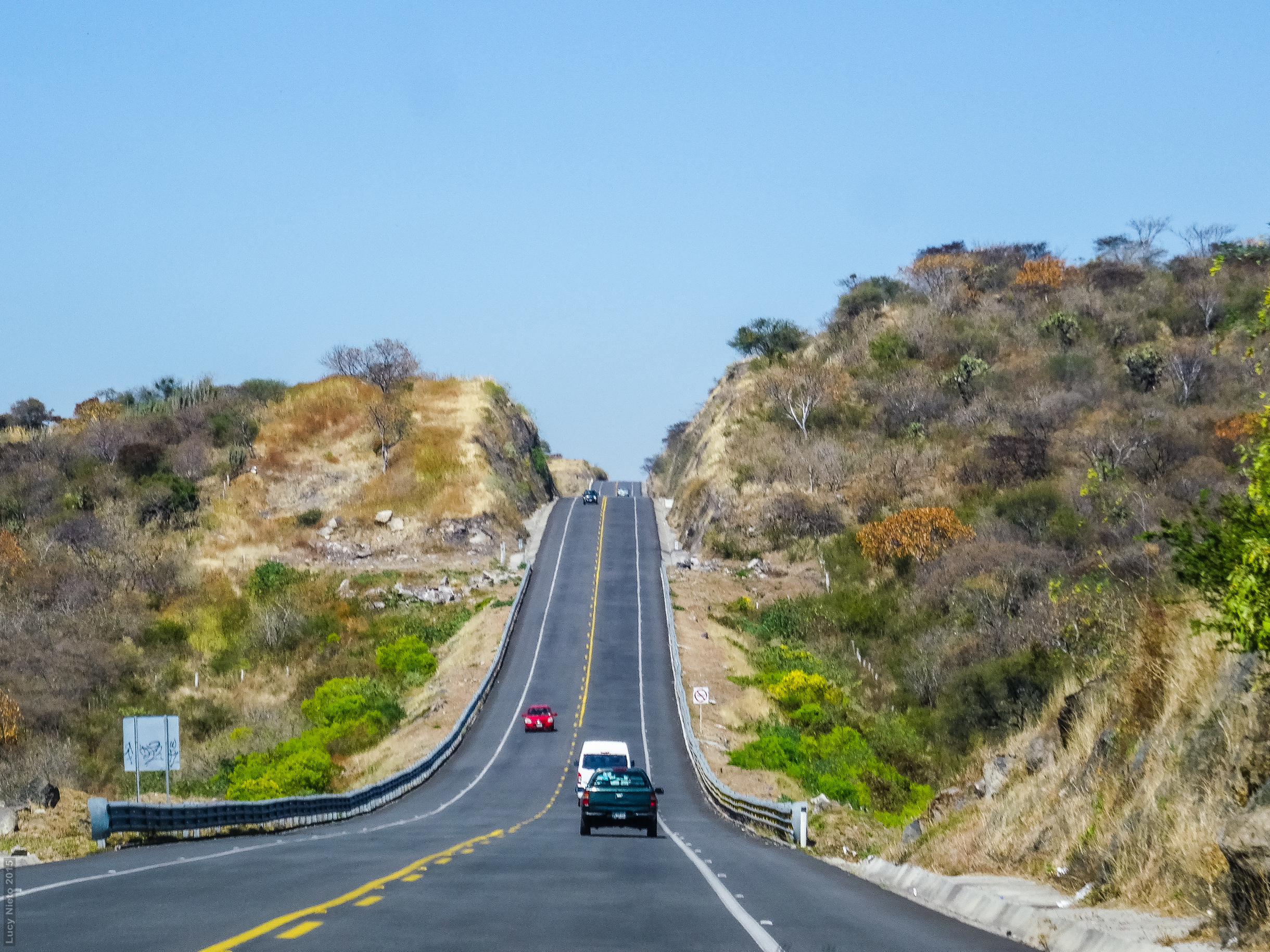
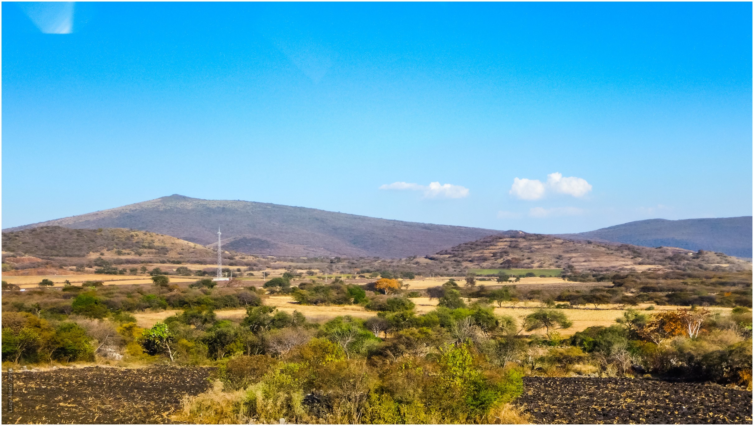
Carretera Querétaro a Pátzcuaro - Guanajuato México 150207 124854 01323 HX50V
Yuriria - Guanajuato México140125 171128 TX30 7184
Yuriria - Guanajuato México140125 171340 TX30 7209
Yuriria - Guanajuato México140125 171332 11 S4 PMM
Yuriria - Guanajuato México140125 171332 17 S4 PMM
Carretera Querétaro a Pátzcuaro - Michoacán México 150207 123030 01239 HX50V
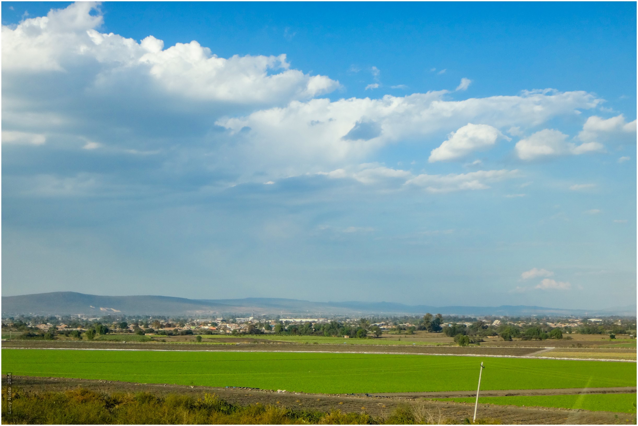
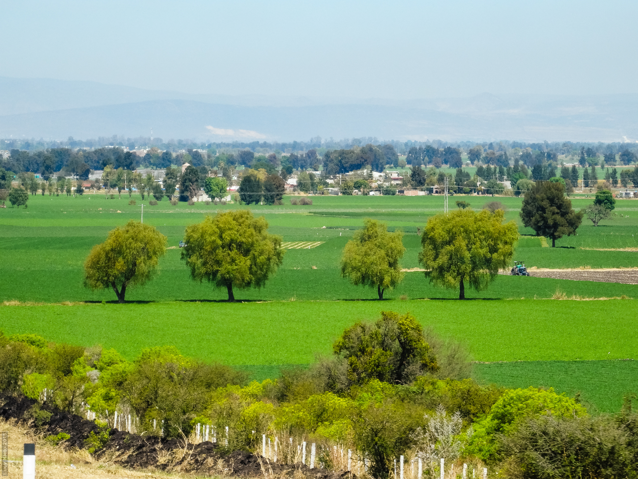
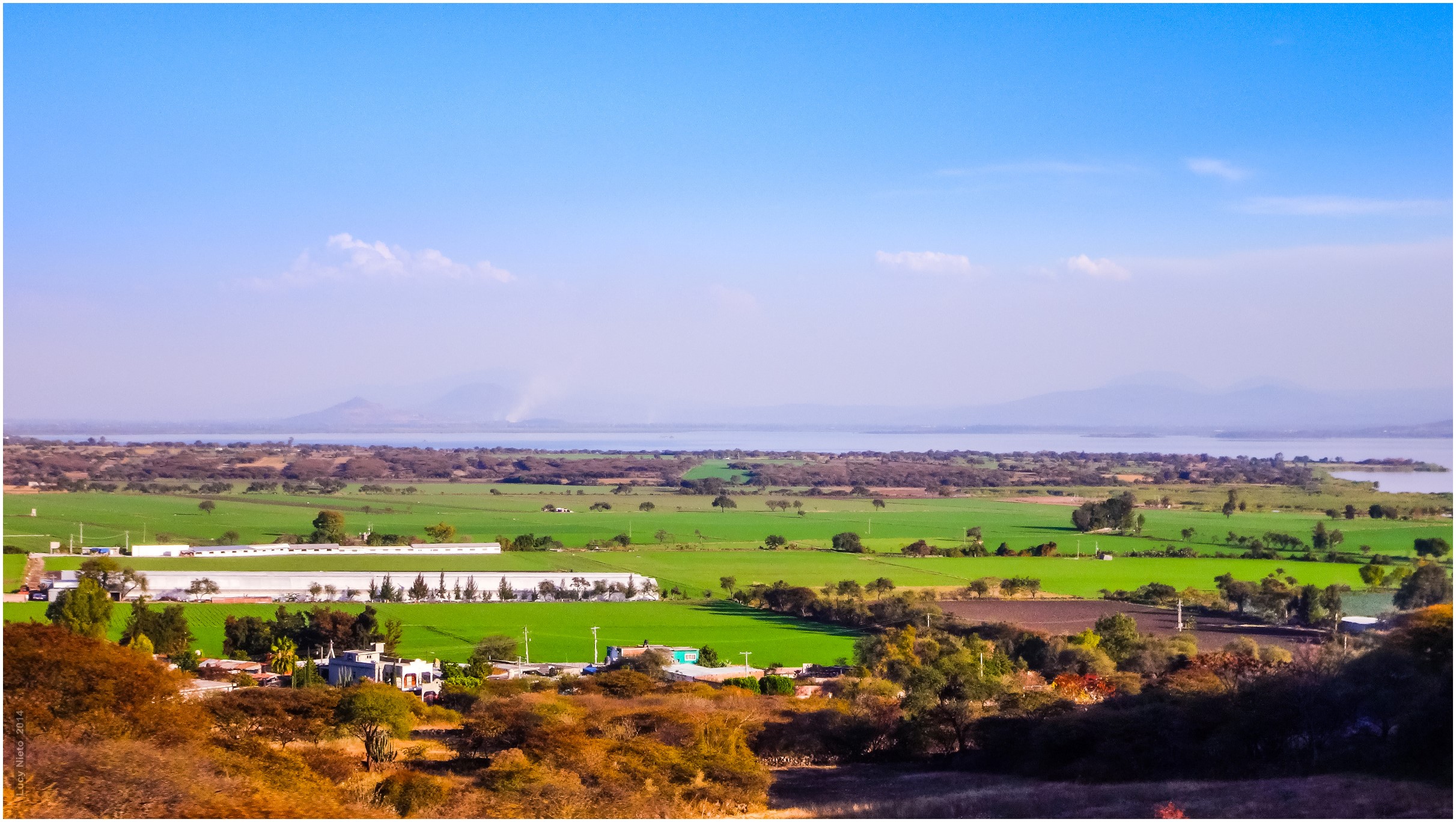
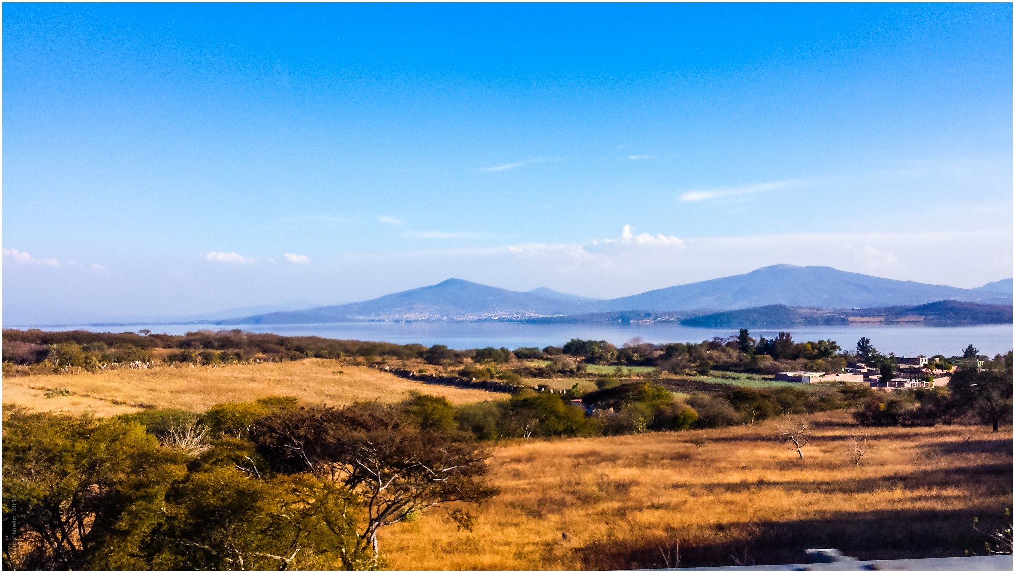
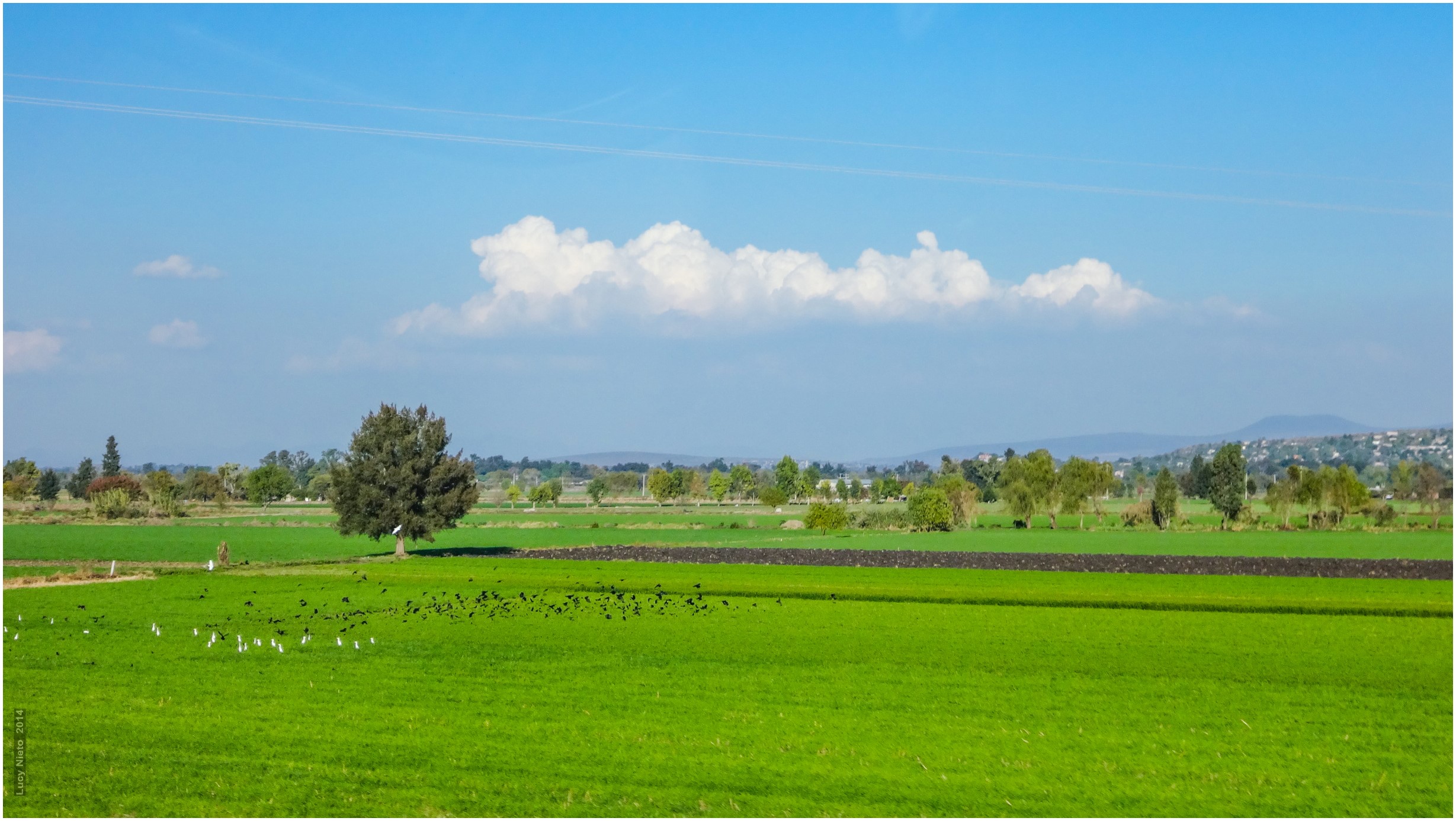
Valles agrícolas - Salamanca Guanajuato México140125 172544 TX30 7365
Yuriria - Guanajuato México140125 171042 TX30 7176
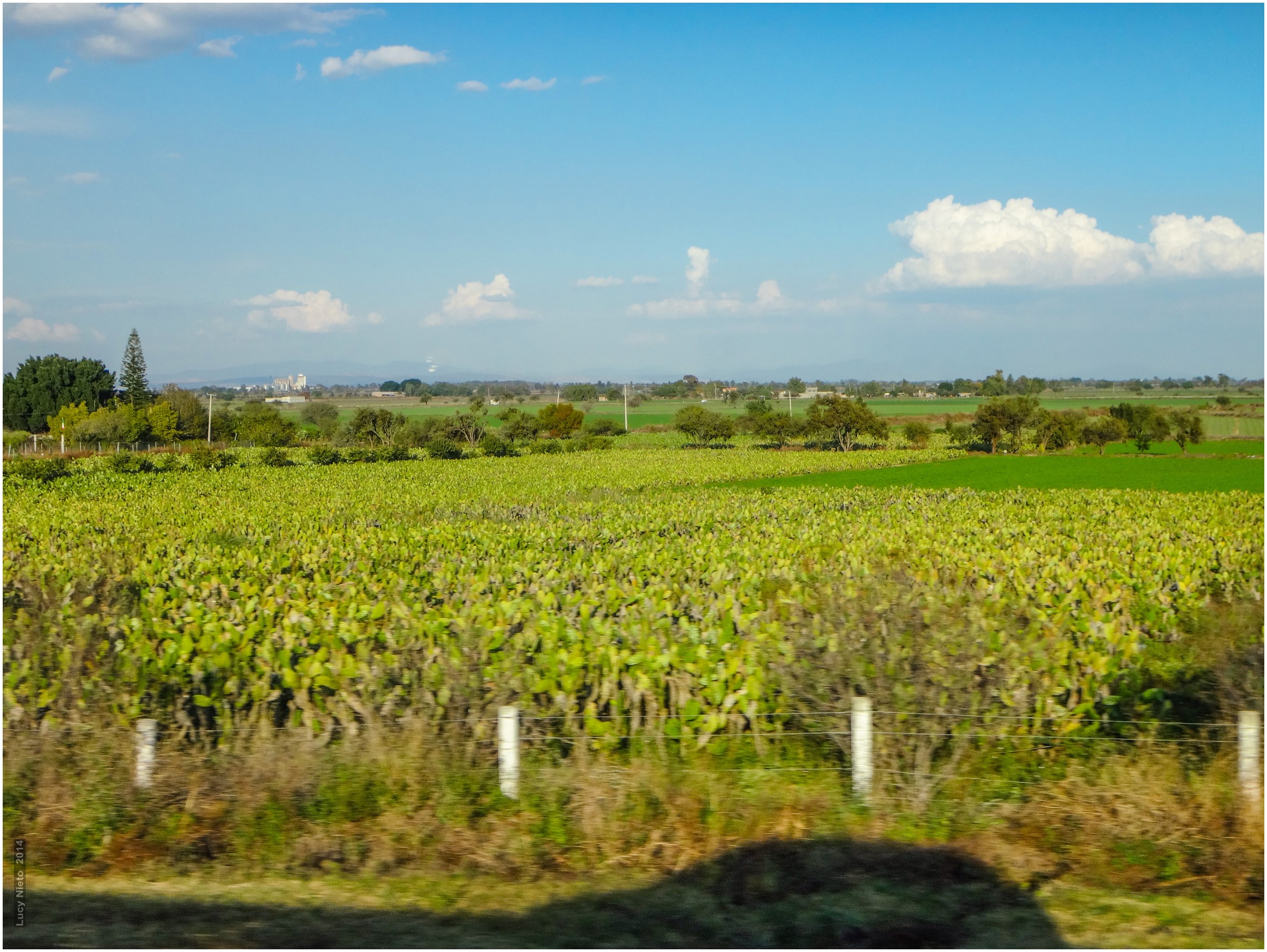
Valles agrícolas - Salamanca Guanajuato México140125 171748 TX30 7270
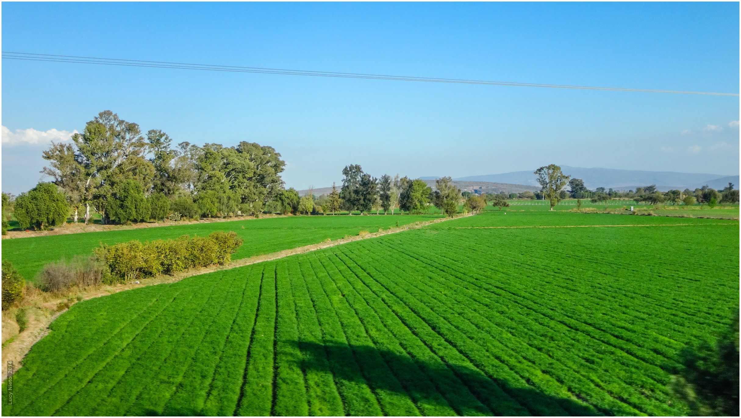
Valles agrícolas - Salamanca Guanajuato México140125 172458 TX30 7349
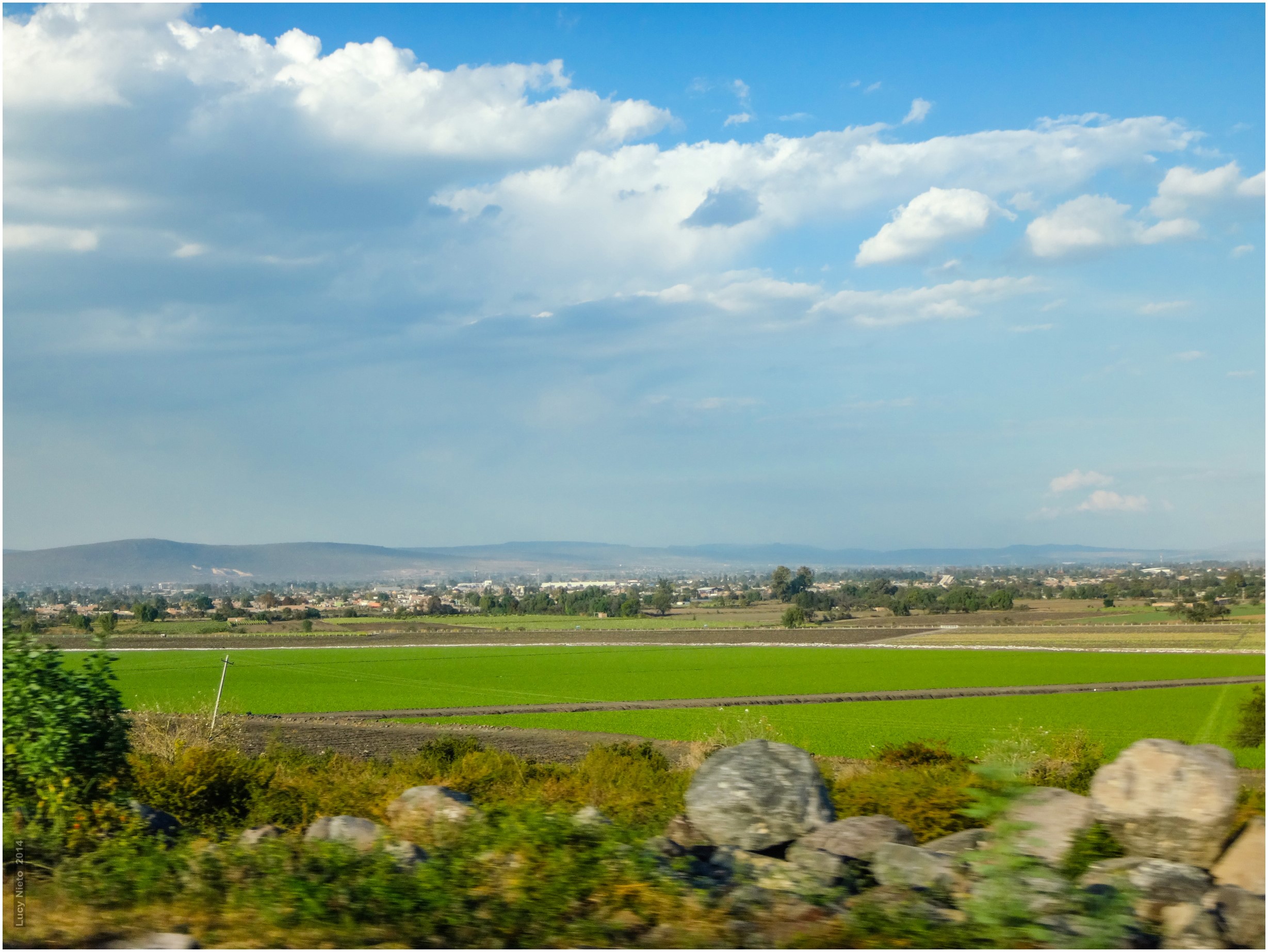
Valles agrícolas - Salamanca Guanajuato México140125 172326 TX30 7329
Valles agrícolas - Salamanca Guanajuato México140125 172540 TX30 7360
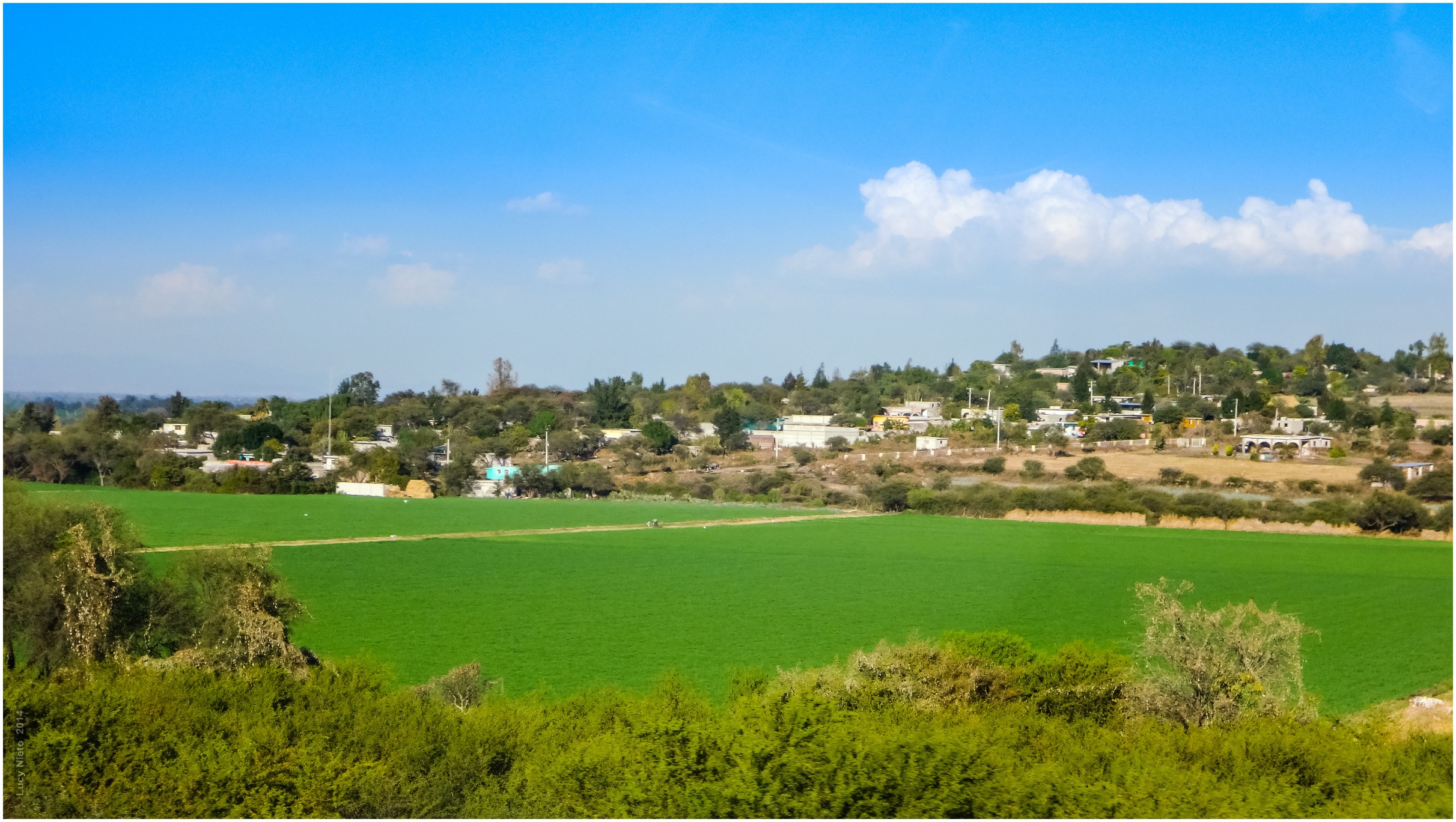
Valles agrícolas - Salamanca Guanajuato México140125 171720 TX30 7264
Yuriria - Guanajuato México140125 171142 TX30 7191
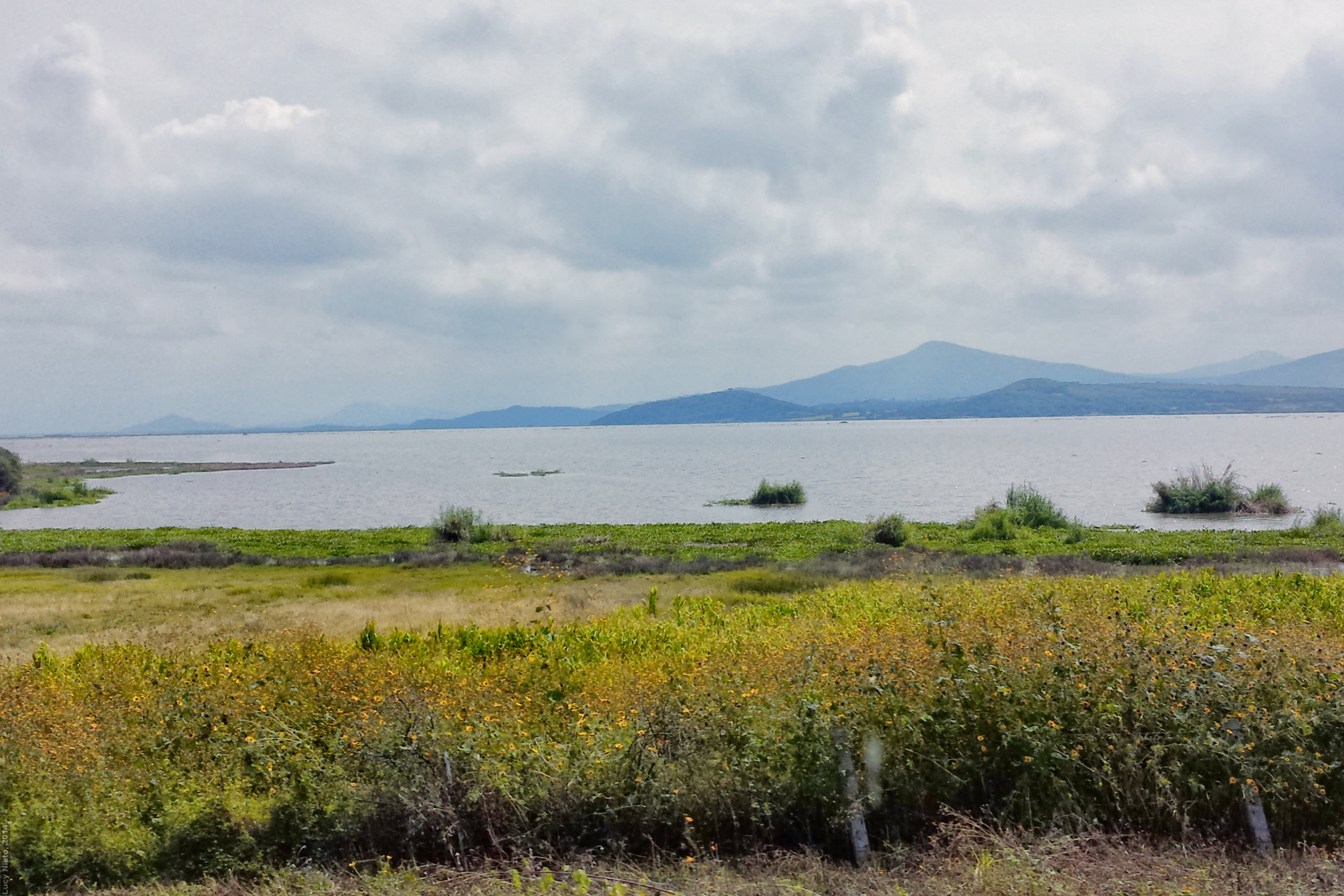
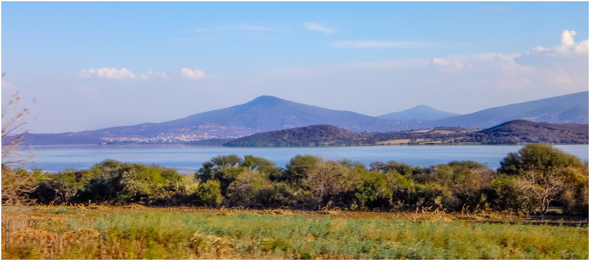
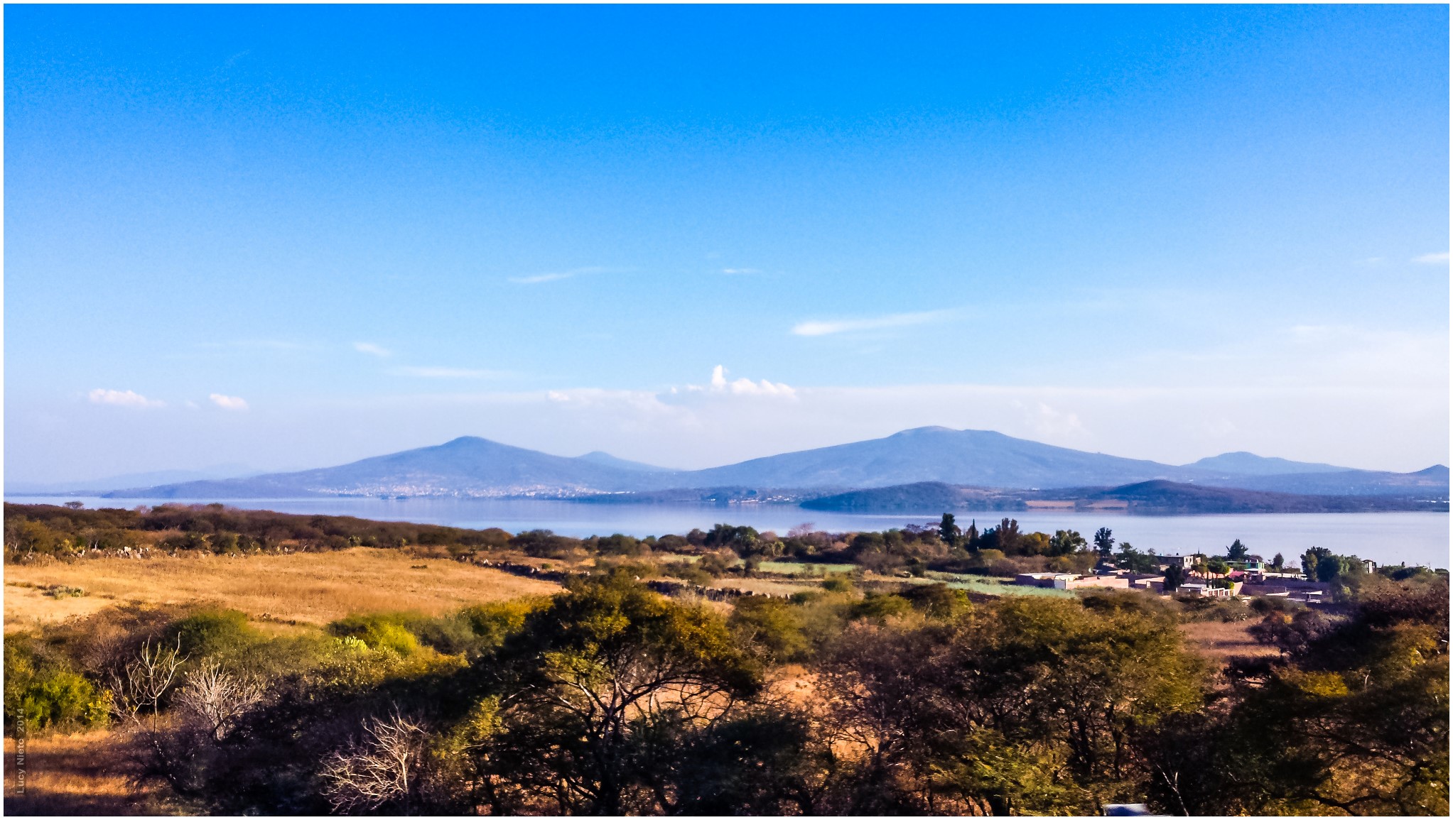
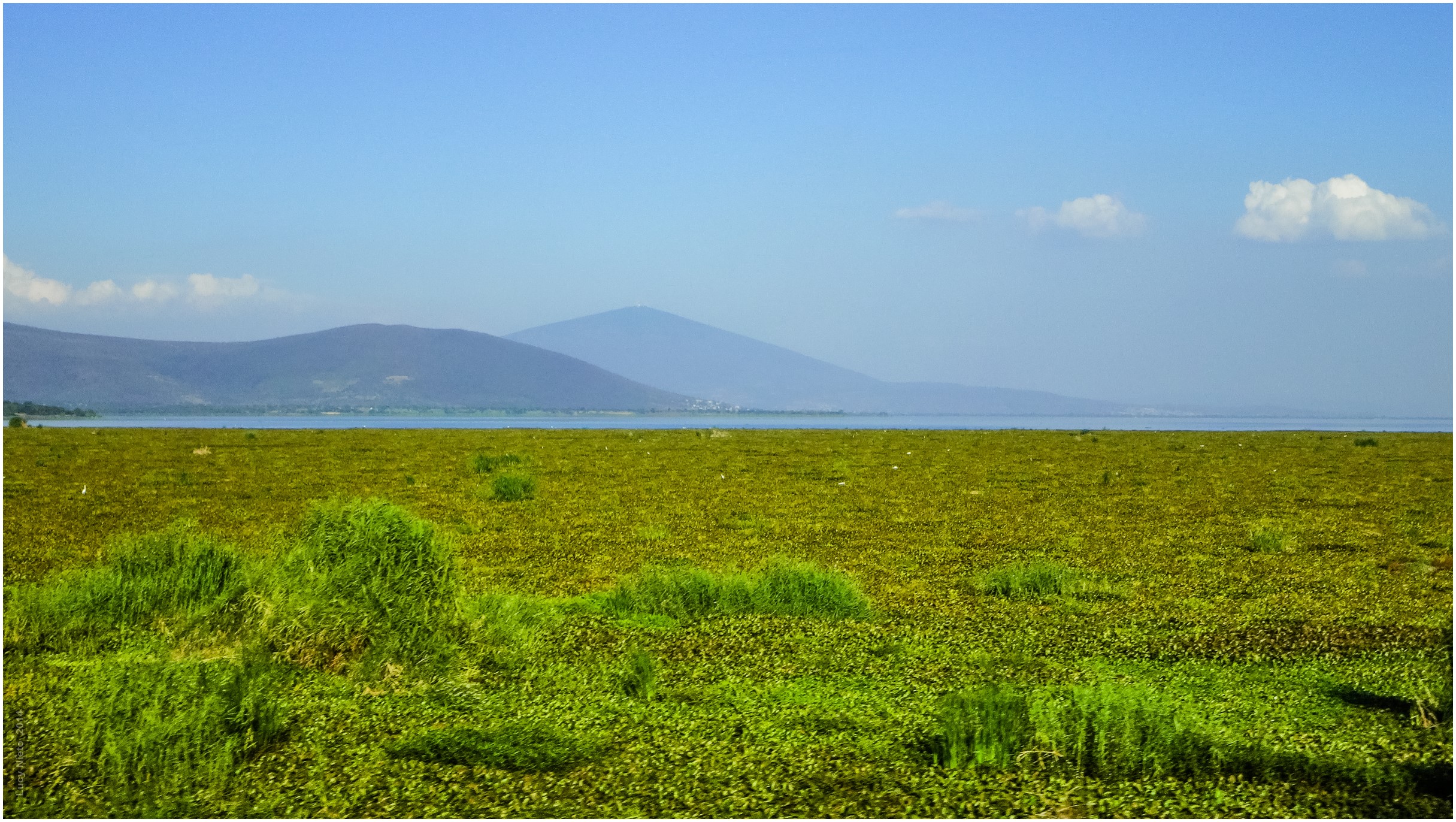
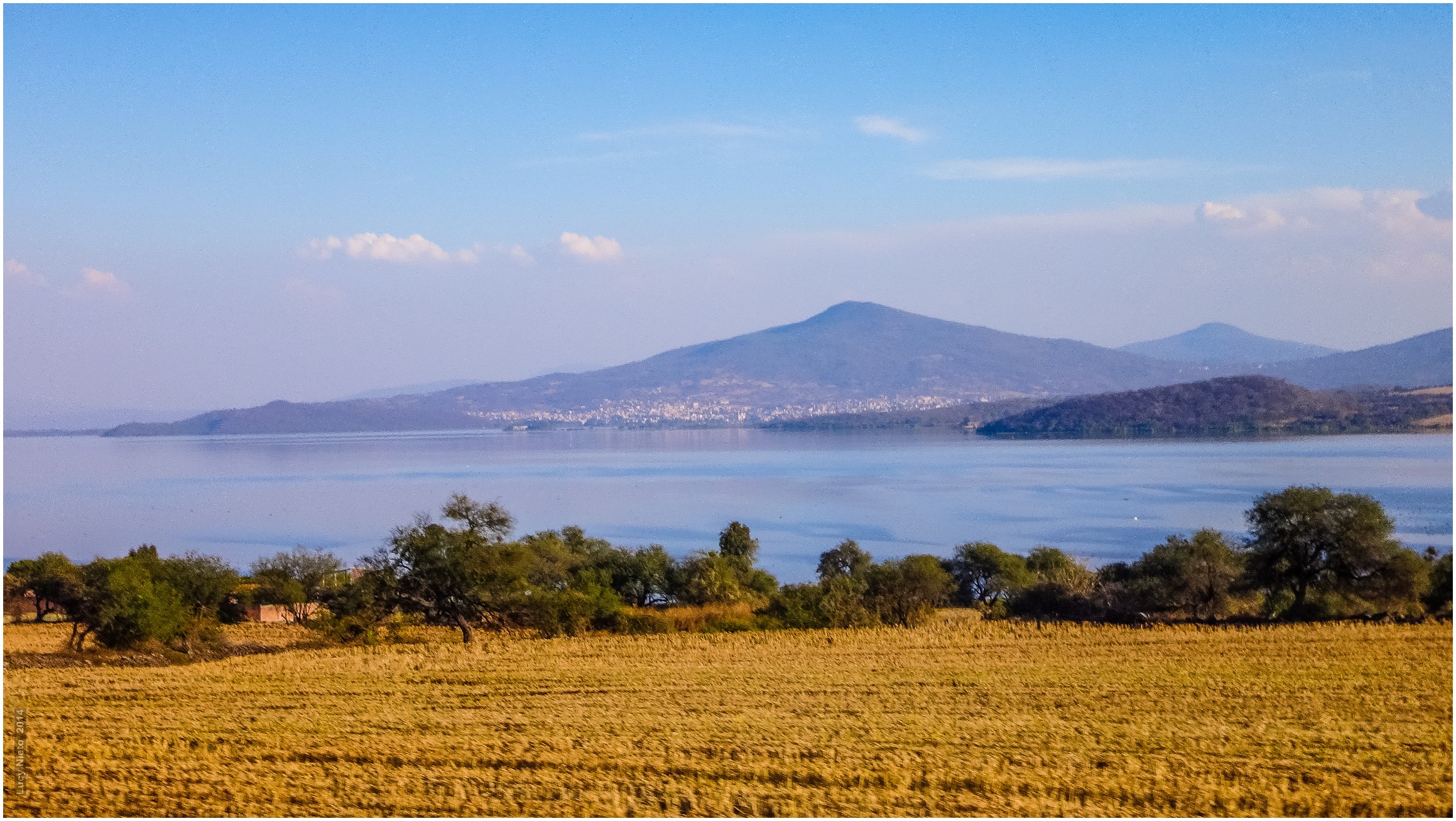
Lago de Cuitzeo - Michoacán 131022 122537 PMM S4
Valles agrícolas - Salamanca Guanajuato México140125 171420 TX30 7218
Topographic Map of Yuriria, Guanajuato, Mexico
Find elevation by address:

Places near Yuriria, Guanajuato, Mexico:
Yuriria
Avenida Miguel De Cervantes Saavedra
Casacuarán
Moroleón
Moctezuma, Los Aztecas, Moroleón, Gto., Mexico
Los Aztecas
Hermosillo
Cuitzeo
Cuitzeo
Salvatierra
Salvatierra
Capacho
Parácuaro
Villagrán
Plaza Constitución Sur, Zona Centro, Villagrán, Gto., Mexico
Villagrán
Zona Centro
La Moncada
San Juan Bautista Cacalote
El Zapote
Recent Searches:
- Elevation of Elwyn Dr, Roanoke Rapids, NC, USA
- Elevation of Congressional Dr, Stevensville, MD, USA
- Elevation of Bellview Rd, McLean, VA, USA
- Elevation of Stage Island Rd, Chatham, MA, USA
- Elevation of Shibuya Scramble Crossing, 21 Udagawacho, Shibuya City, Tokyo -, Japan
- Elevation of Jadagoniai, Kaunas District Municipality, Lithuania
- Elevation of Pagonija rock, Kranto 7-oji g. 8"N, Kaunas, Lithuania
- Elevation of Co Rd 87, Jamestown, CO, USA
- Elevation of Tenjo, Cundinamarca, Colombia
- Elevation of Côte-des-Neiges, Montreal, QC H4A 3J6, Canada