Elevation of Parácuaro, Guanajuato, Mexico
Location: Mexico > Guanajuato > Acámbaro >
Longitude: -100.92305
Latitude: 19.965
Elevation: 1853m / 6079feet
Barometric Pressure: 81KPa
Elevation Map:
Satellite Map:
Related Photos:

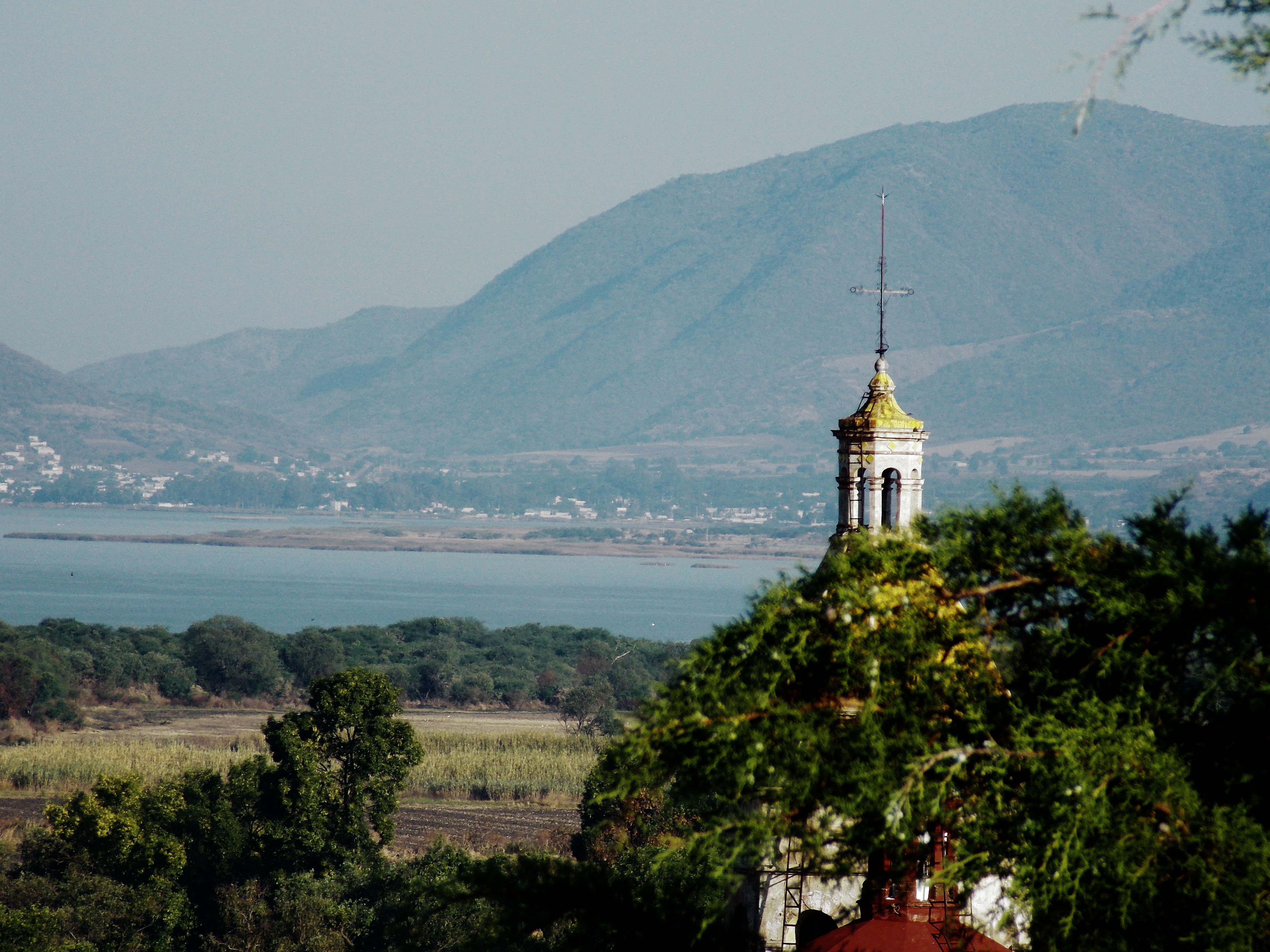
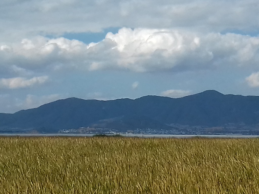
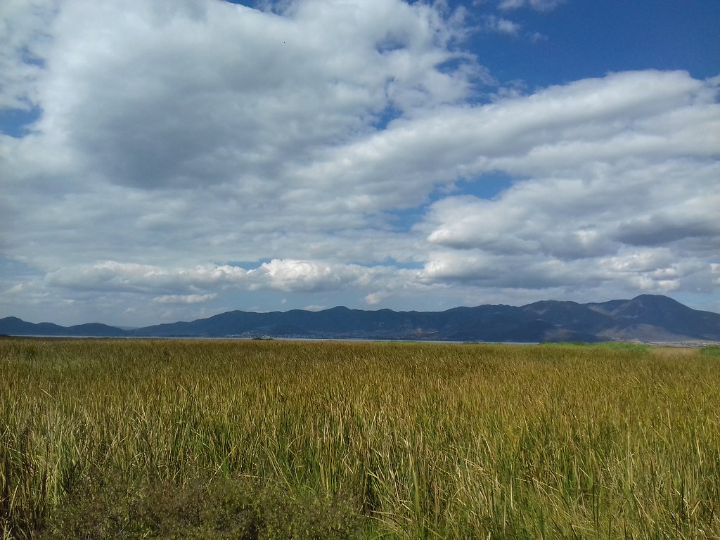
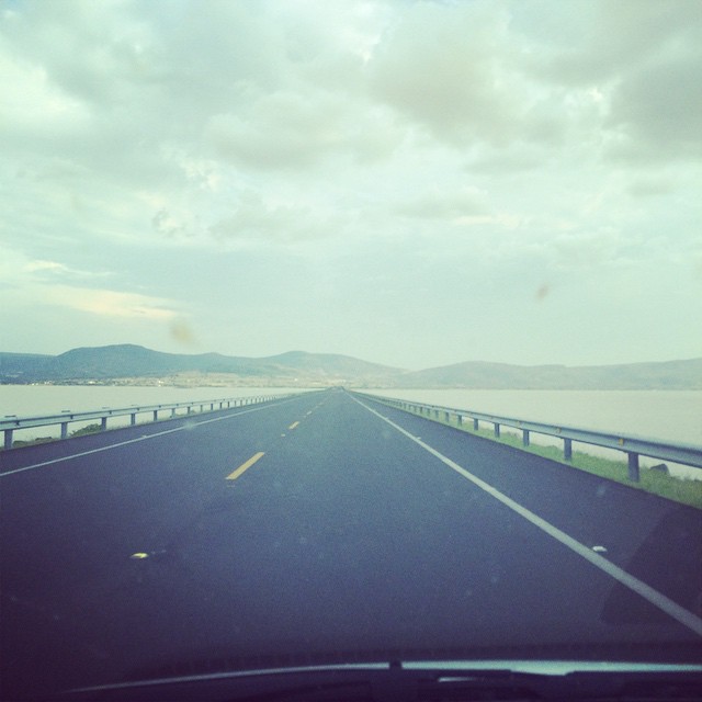
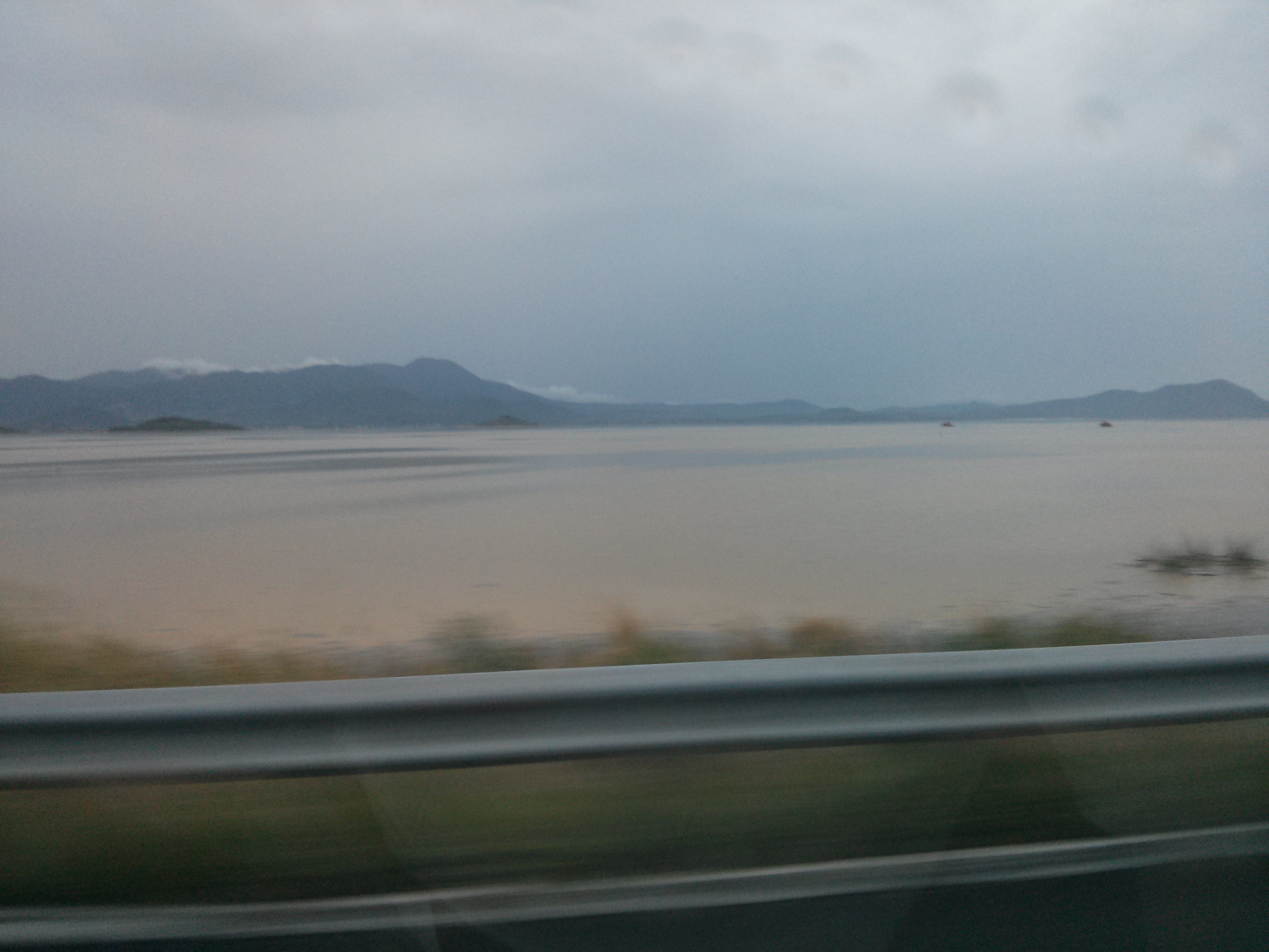
Views over Lake Pátzcuaro

Views over Lake Pátzcuaro

Views over Lake Pátzcuaro
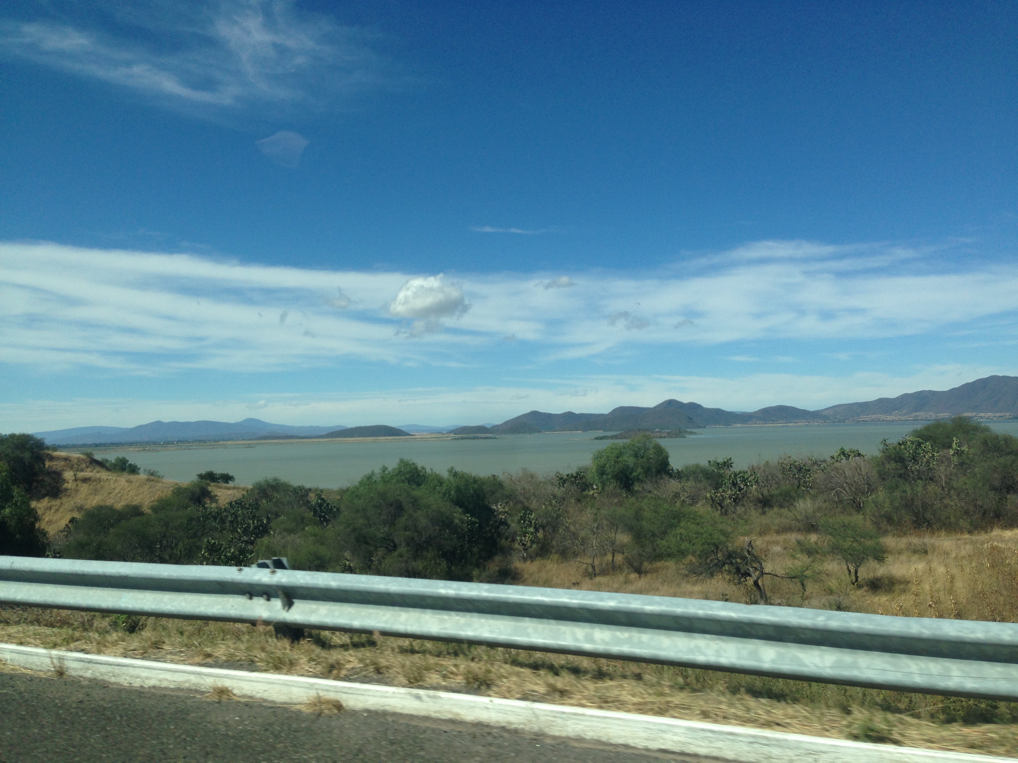
Views over Lake Pátzcuaro
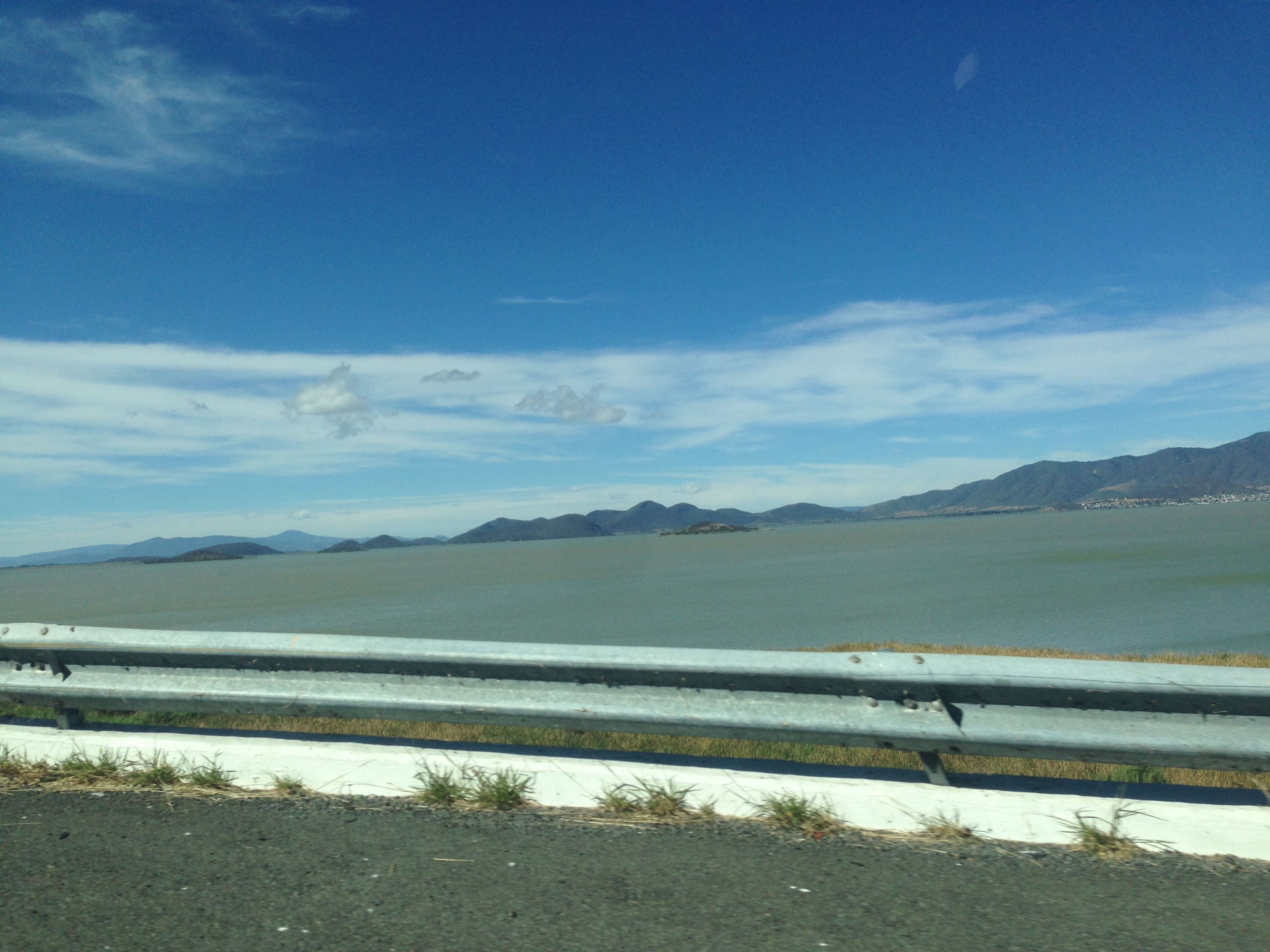
Views over Lake Pátzcuaro
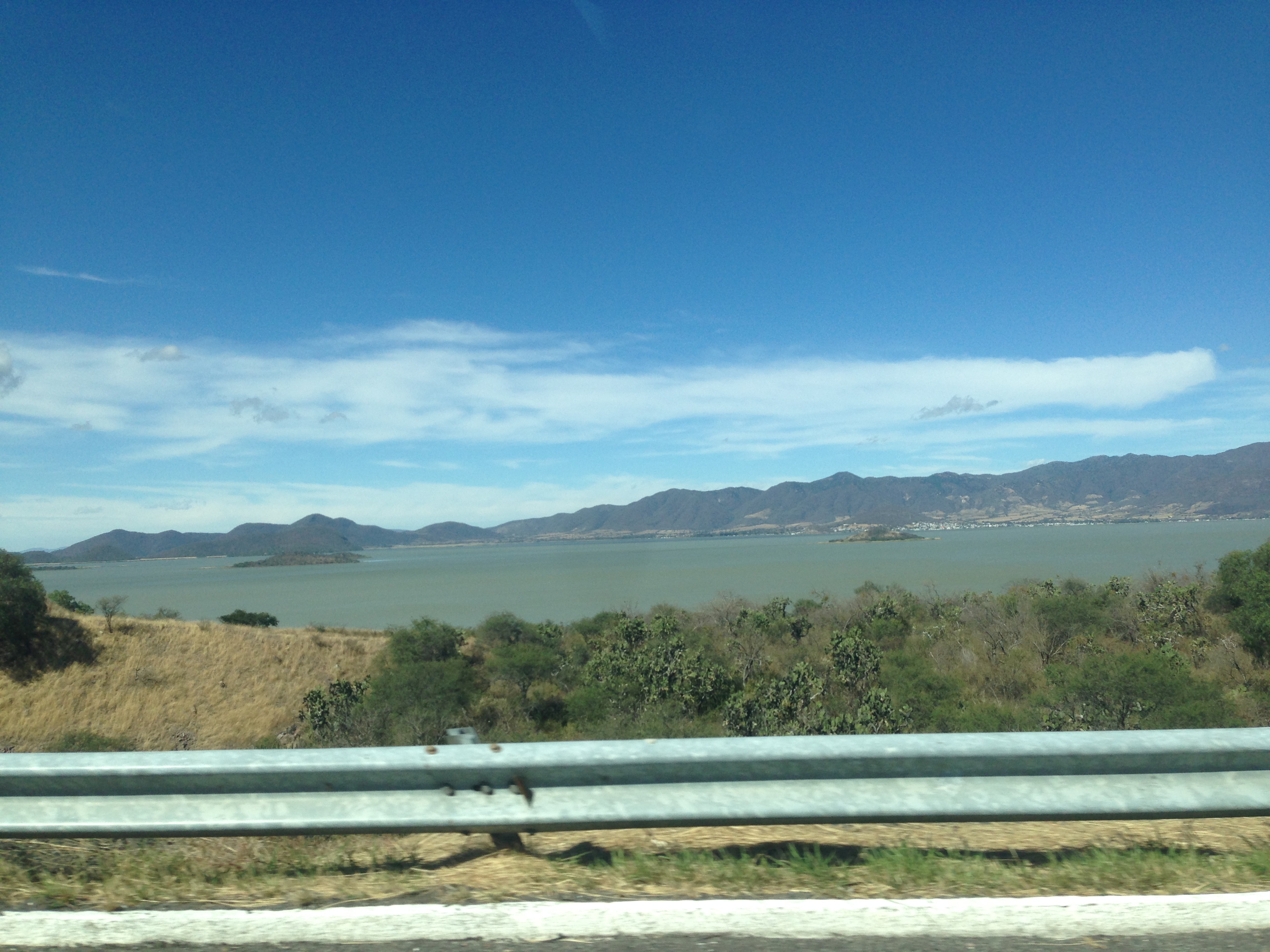
Views over Lake Pátzcuaro
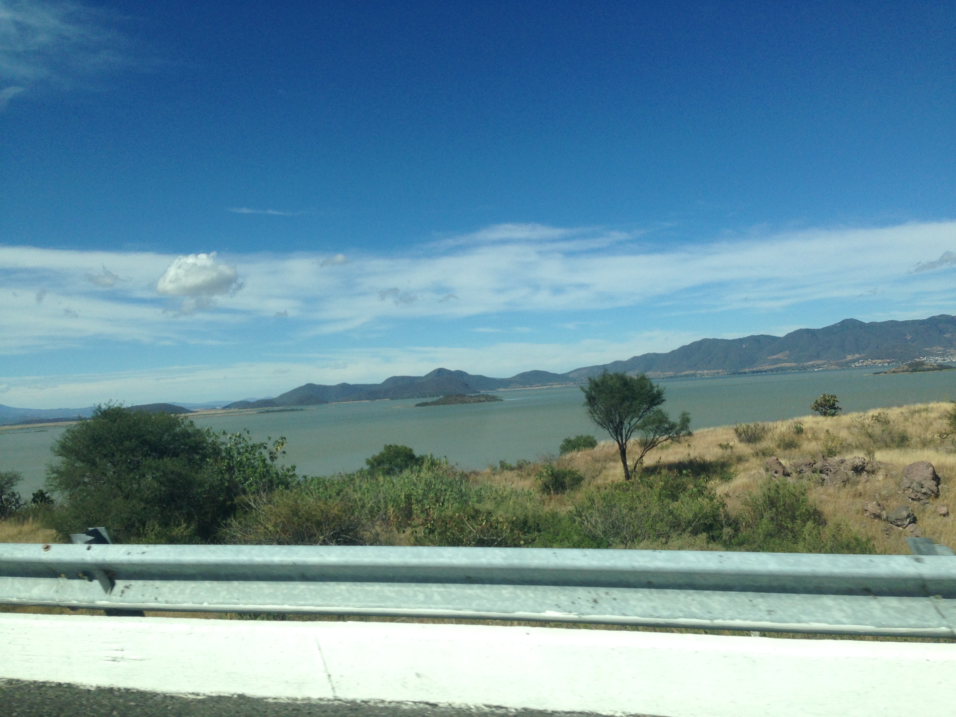
Views over Lake Pátzcuaro
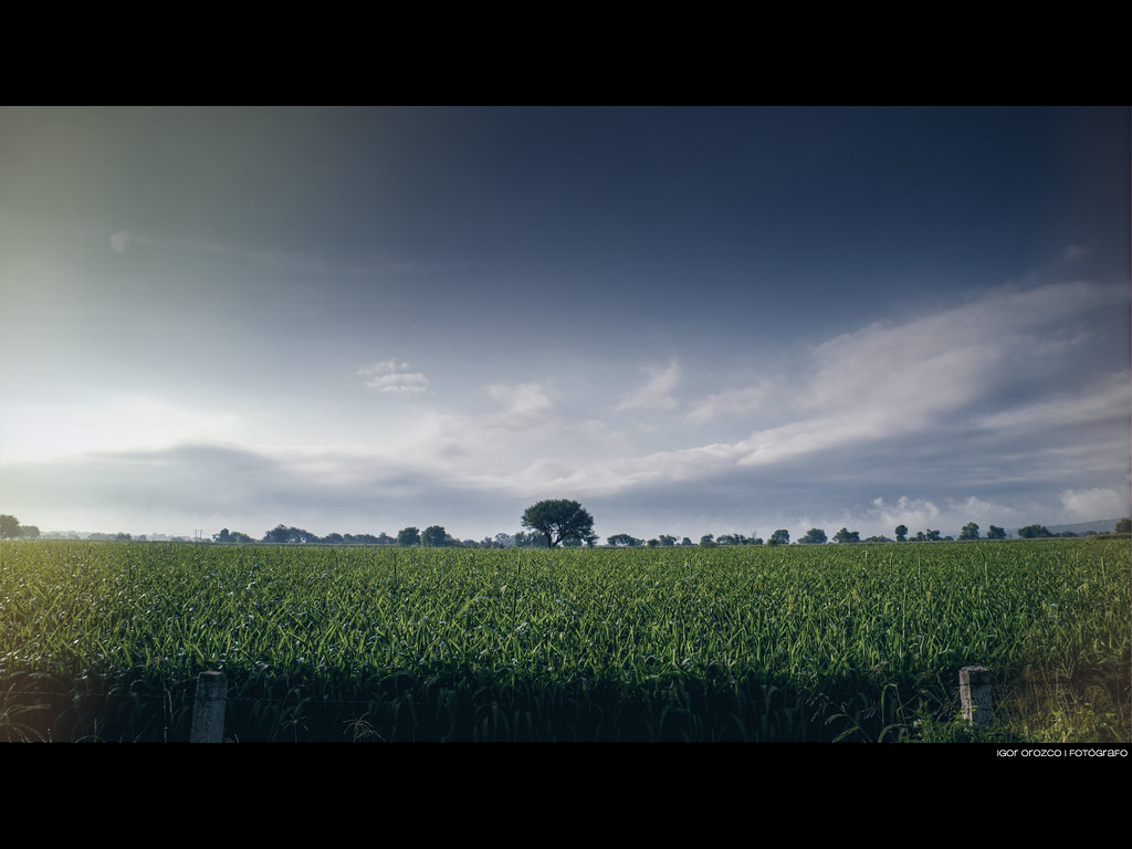
Tree in the landscape
Tomada con teléfono lg7
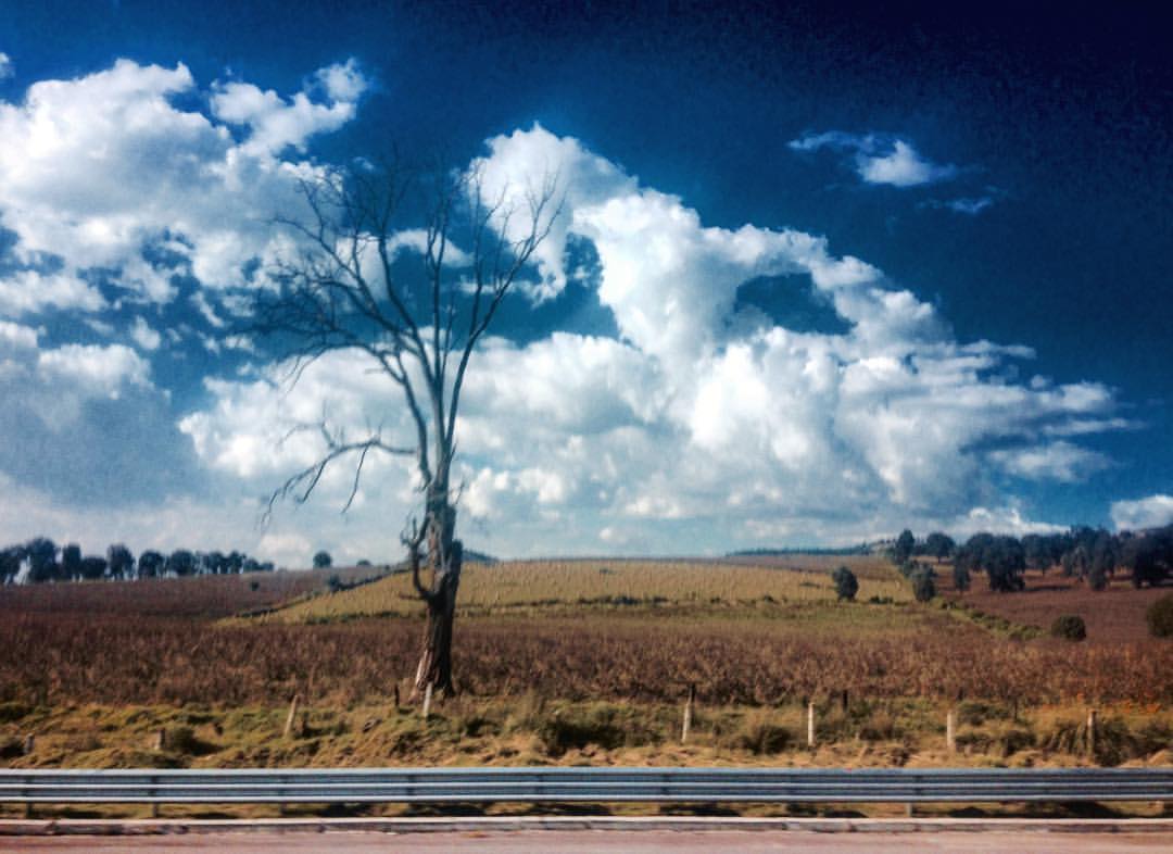
tree clouds. / árbol de nubes. Foto por: @mayercuamatzi Carretera Morelia-D.F © 2015
Chehuayo Grande - Michoacán México 131022 115215 14 PMM S4
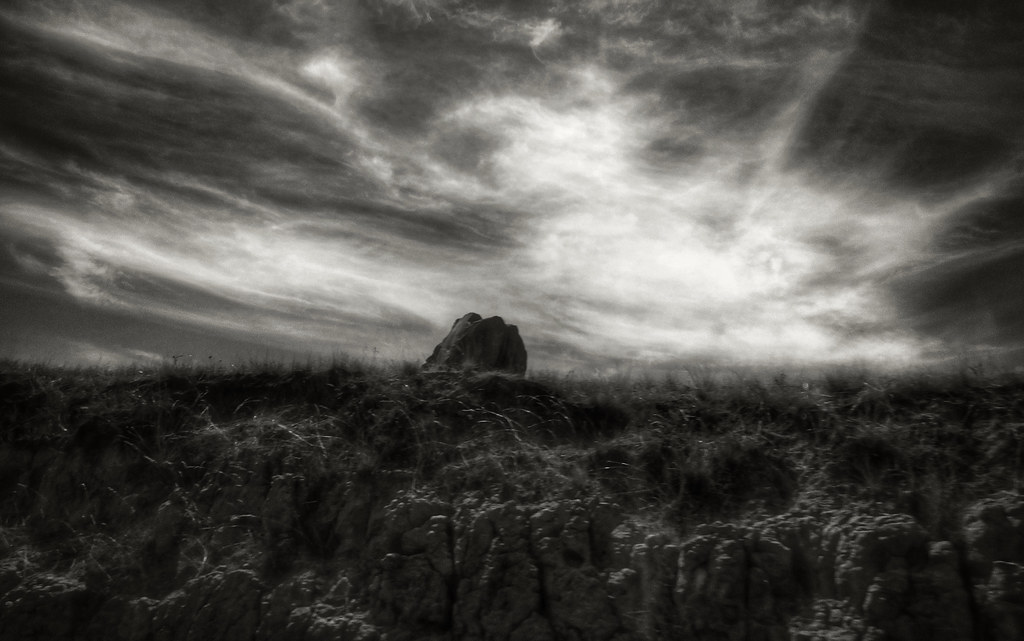
La Piedra (Cuitzeo, México. Gustavo Thomas © 2014)
Araró
Morelia, Michoacán, México

/PHOTO_20161130_132641
/PHOTO_20161130_135503
/PHOTO_20161130_135452

/PHOTO_20161130_132636

/PHOTO_20161130_125925
Morelia........here we go!!!!!
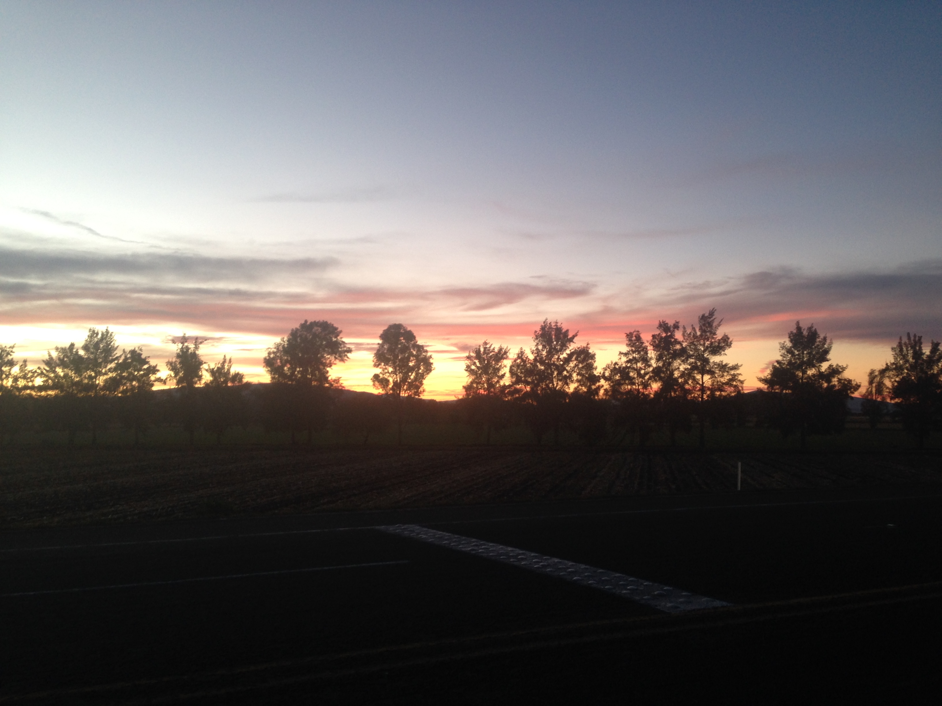
2013-07-08 19.35.51
Topographic Map of Parácuaro, Guanajuato, Mexico
Find elevation by address:

Places near Parácuaro, Guanajuato, Mexico:
Zinapécuaro
Morelos 8, Centro, Zinapecuaro de Figueroa, Mich., Mexico
Queréndaro
Centro
Queréndaro
Calle Hidalgo 20, Centro, Queréndaro, Mich., Mexico
Centro
El Moral
Arrastradero, Centro, San Lucas Pío, Mich., Mexico
San Lucas Pío
Indaparapeo
Acámbaro
Cuitzeo
El Zapote
Téjaro Pte., El Zapote, Téjaro de los Izquierdo, Mich., Mexico
Téjaro De Los Izquierdo
Cuitzeo
Hermosillo
Calle Nacional, Colonia, Ucareo, Mich., Mexico
Ucareo
Recent Searches:
- Elevation of Congressional Dr, Stevensville, MD, USA
- Elevation of Bellview Rd, McLean, VA, USA
- Elevation of Stage Island Rd, Chatham, MA, USA
- Elevation of Shibuya Scramble Crossing, 21 Udagawacho, Shibuya City, Tokyo -, Japan
- Elevation of Jadagoniai, Kaunas District Municipality, Lithuania
- Elevation of Pagonija rock, Kranto 7-oji g. 8"N, Kaunas, Lithuania
- Elevation of Co Rd 87, Jamestown, CO, USA
- Elevation of Tenjo, Cundinamarca, Colombia
- Elevation of Côte-des-Neiges, Montreal, QC H4A 3J6, Canada
- Elevation of Bobcat Dr, Helena, MT, USA