Elevation of York Township, OH, USA
Location: United States > Ohio > Union County >
Longitude: -83.453684
Latitude: 40.3988161
Elevation: 317m / 1040feet
Barometric Pressure: 98KPa
Elevation Map:
Satellite Map:
Related Photos:

Morning View Barn ll

Pleasant View Elementary, near Richwood Ohio

Train art. Parked across from my office window, can't help looking at it all day. Had to snap a shot on my way out.

The World's Color Wheel

Sunset at the Track
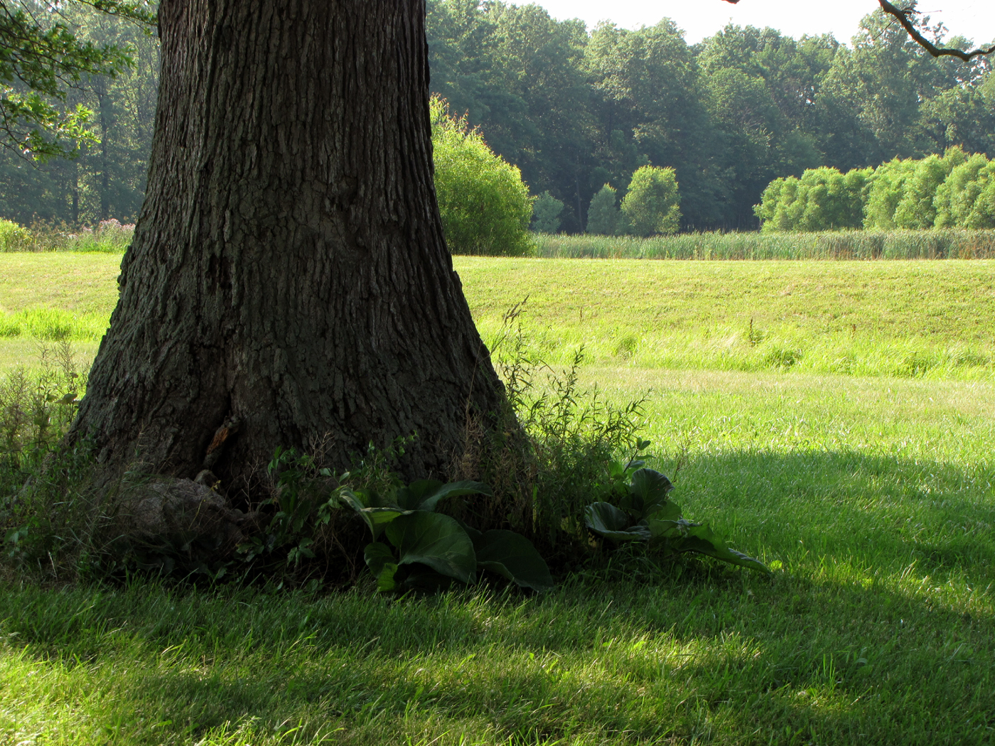
From the Shade
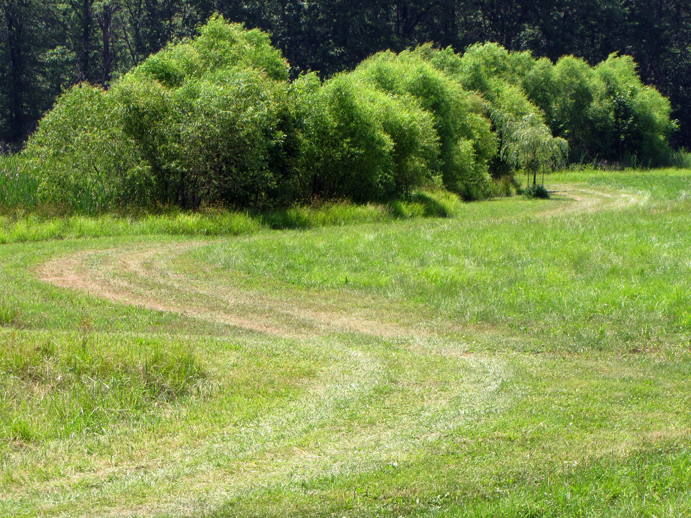
Hot Summer Day

The sky coming home from Columbus tonight. Beautiful!
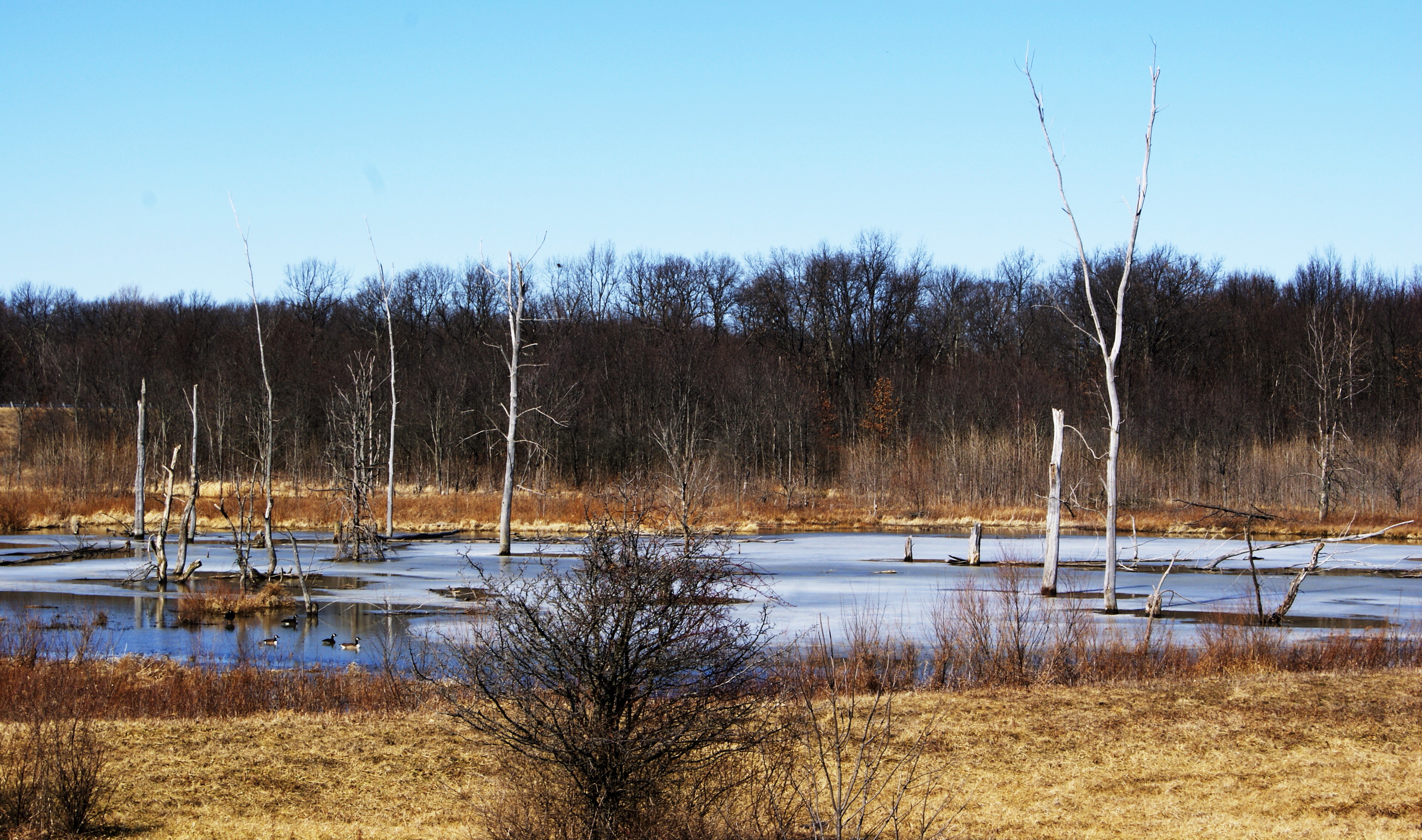
frozen marsh
Topographic Map of York Township, OH, USA
Find elevation by address:

Places near York Township, OH, USA:
27279 Oh-31
Liberty Township
Raymond
22780 Reed Rd
Taylor Township
22780 Reed Rd
22780 Reed Rd
State Route, Raymond, OH, USA
25590 Ford-reed Rd
21060 Bear Swamp Rd
20430 Dog Leg Rd
19920 Bear Swamp Rd
21001 Oh-739
McAdow Rd, Marysville, OH, USA
Co Rd 2, West Mansfield, OH, USA
16409 Wheeler-green Rd
Honda R&d Americas Inc
19400 Bear Swamp Rd
Union County
Perry Township
Recent Searches:
- Elevation of Tenjo, Cundinamarca, Colombia
- Elevation of Côte-des-Neiges, Montreal, QC H4A 3J6, Canada
- Elevation of Bobcat Dr, Helena, MT, USA
- Elevation of Zu den Ihlowbergen, Althüttendorf, Germany
- Elevation of Badaber, Peshawar, Khyber Pakhtunkhwa, Pakistan
- Elevation of SE Heron Loop, Lincoln City, OR, USA
- Elevation of Slanický ostrov, 01 Námestovo, Slovakia
- Elevation of Spaceport America, Co Rd A, Truth or Consequences, NM, USA
- Elevation of Warwick, RI, USA
- Elevation of Fern Rd, Whitmore, CA, USA