Elevation of OH-31, Raymond, OH, USA
Location: United States > Ohio > Union County > York Township >
Longitude: -83.412771
Latitude: 40.3952079
Elevation: 306m / 1004feet
Barometric Pressure: 98KPa
Elevation Map:
Satellite Map:
Related Photos:

eBird Doc: OHIO Reddish & Snowy Egret

Morning View Barn ll

Reddish Egret

Reddish Egret
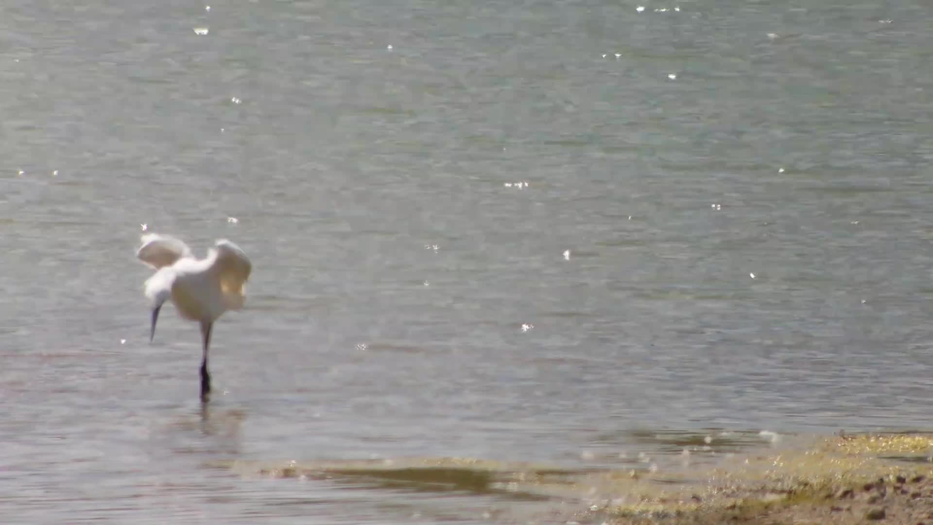
Reddish Egret

Reddish Egret

Reddish Egret

Reddish Egret
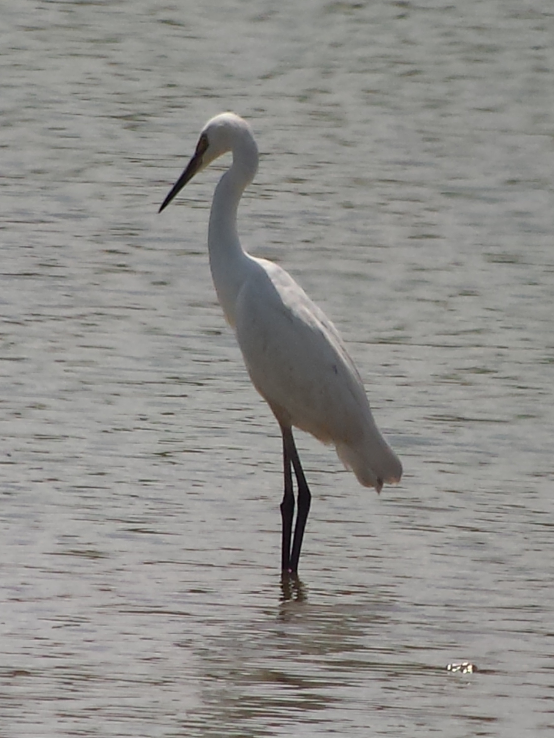
Reddish Egret

Pleasant View Elementary, near Richwood Ohio

Train art. Parked across from my office window, can't help looking at it all day. Had to snap a shot on my way out.

Day Twp - Photographing all of the Beaver Excavating Company employees with their $40,000,000 gear. (JamesDecamp.com | 614-367-6366)
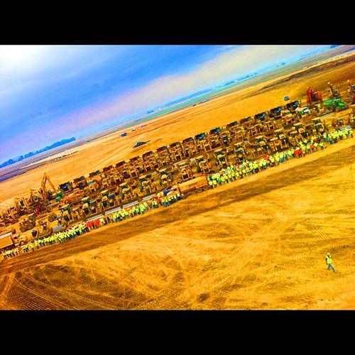
Day Two - Photographing all of the Beaver Excavating Company employees with their $40,000,000 gear. (JamesDecamp.com | 614-367-6366)

The World's Color Wheel
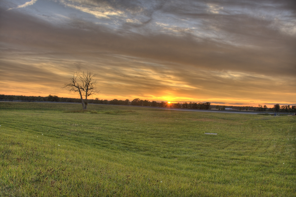
Sunset at the Track
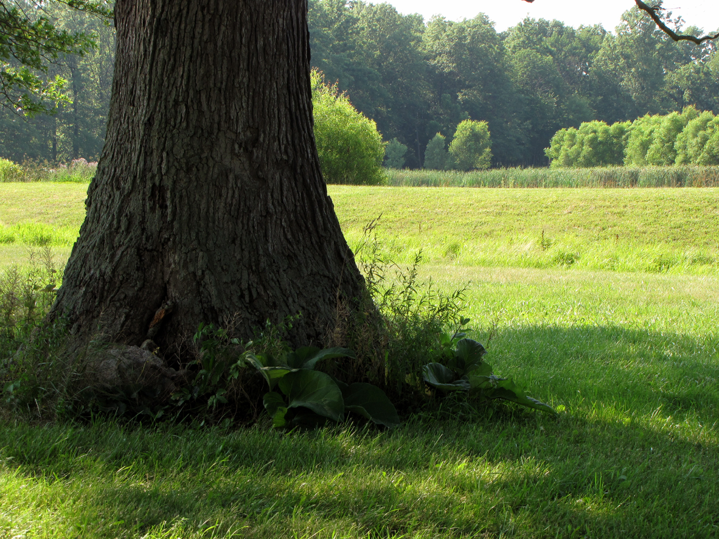
From the Shade
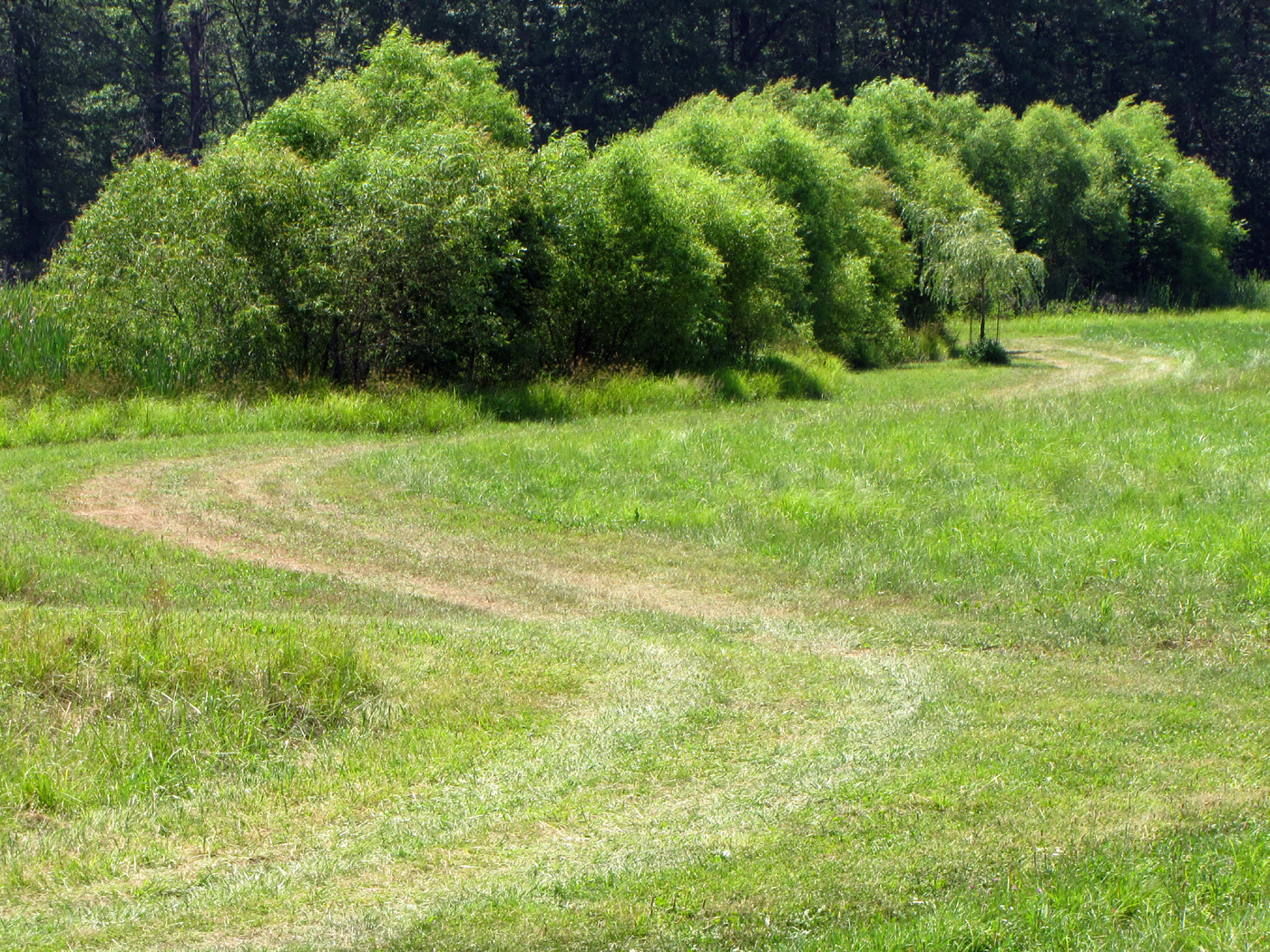
Hot Summer Day
Topographic Map of OH-31, Raymond, OH, USA
Find elevation by address:

Places near OH-31, Raymond, OH, USA:
York Township
25590 Ford-reed Rd
Taylor Township
22780 Reed Rd
22780 Reed Rd
22780 Reed Rd
Raymond
Union County
McAdow Rd, Marysville, OH, USA
Liberty Township
State Route, Raymond, OH, USA
24581 Sandusky Rd
24581 Sandusky Rd
16409 Wheeler-green Rd
20430 Dog Leg Rd
21060 Bear Swamp Rd
19920 Bear Swamp Rd
19400 Bear Swamp Rd
1884 Creekview Dr
21001 Oh-739
Recent Searches:
- Elevation of W Granada St, Tampa, FL, USA
- Elevation of Pykes Down, Ivybridge PL21 0BY, UK
- Elevation of Jalan Senandin, Lutong, Miri, Sarawak, Malaysia
- Elevation of Bilohirs'k
- Elevation of 30 Oak Lawn Dr, Barkhamsted, CT, USA
- Elevation of Luther Road, Luther Rd, Auburn, CA, USA
- Elevation of Unnamed Road, Respublika Severnaya Osetiya — Alaniya, Russia
- Elevation of Verkhny Fiagdon, North Ossetia–Alania Republic, Russia
- Elevation of F. Viola Hiway, San Rafael, Bulacan, Philippines
- Elevation of Herbage Dr, Gulfport, MS, USA