Elevation of Yoder Rd, Dalhart, TX, USA
Location: United States > Texas > Dallam County > Dalhart >
Longitude: -102.96388
Latitude: 36.1138441
Elevation: 1347m / 4419feet
Barometric Pressure: 86KPa
Elevation Map:
Satellite Map:
Related Photos:
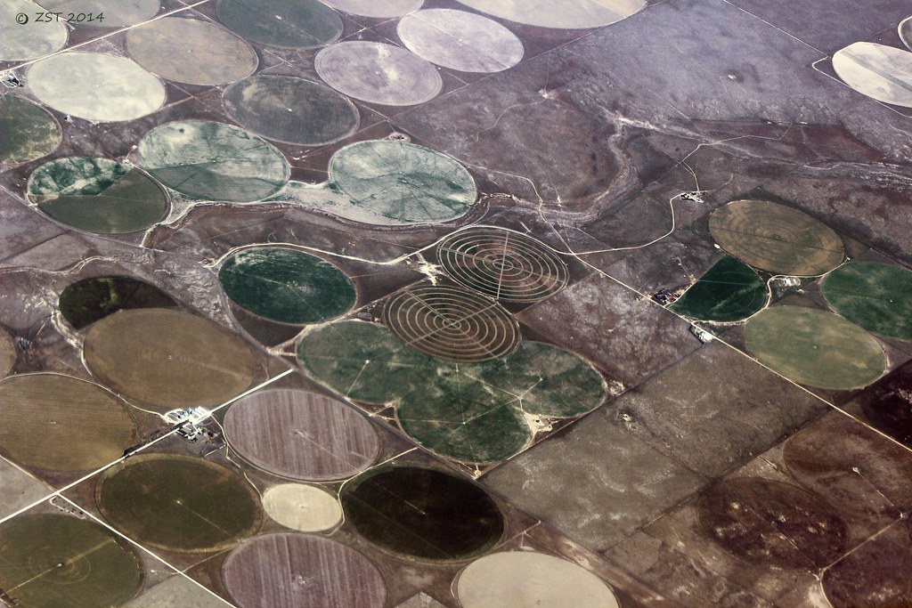
Farming Targets
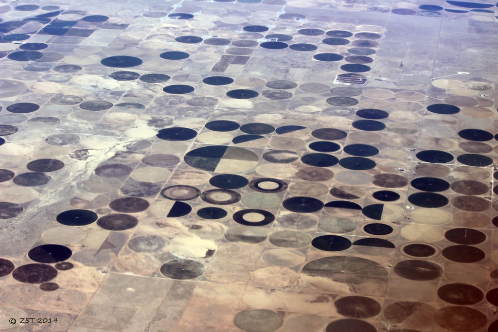
Fields near the New Mexico/Texas Border

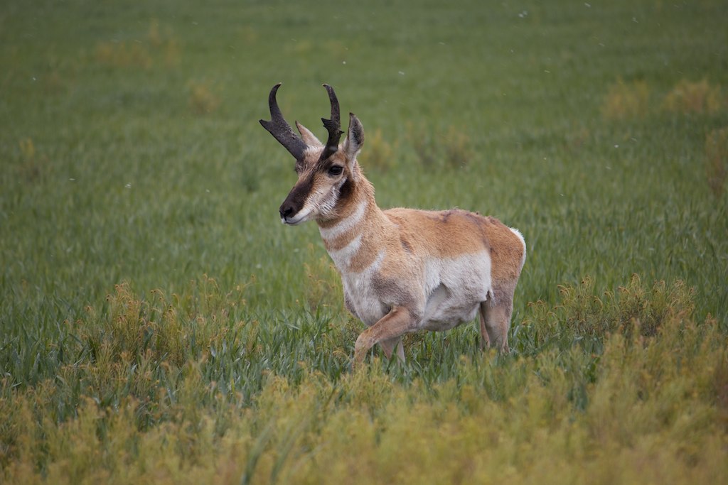
The Green Machine

2011-05-01 38
Sunday Stroll

Old Sedan School Bell Memorial (Sedan, New Mexico)
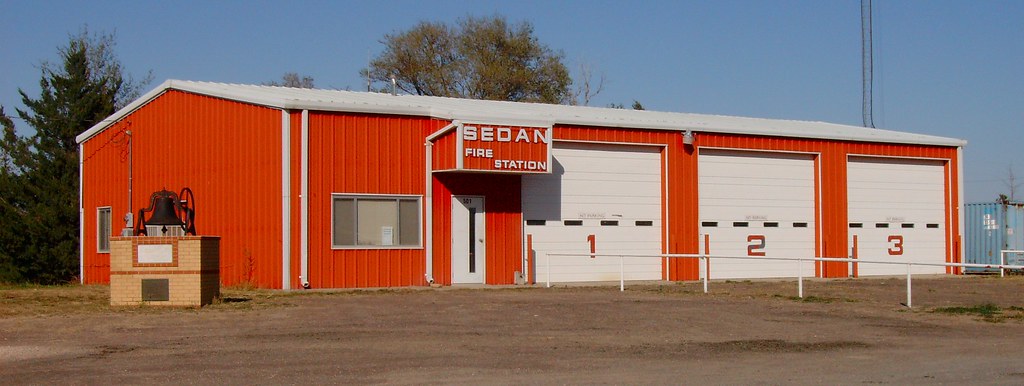
Sedan Fire Station (Sedan, New Mexico)
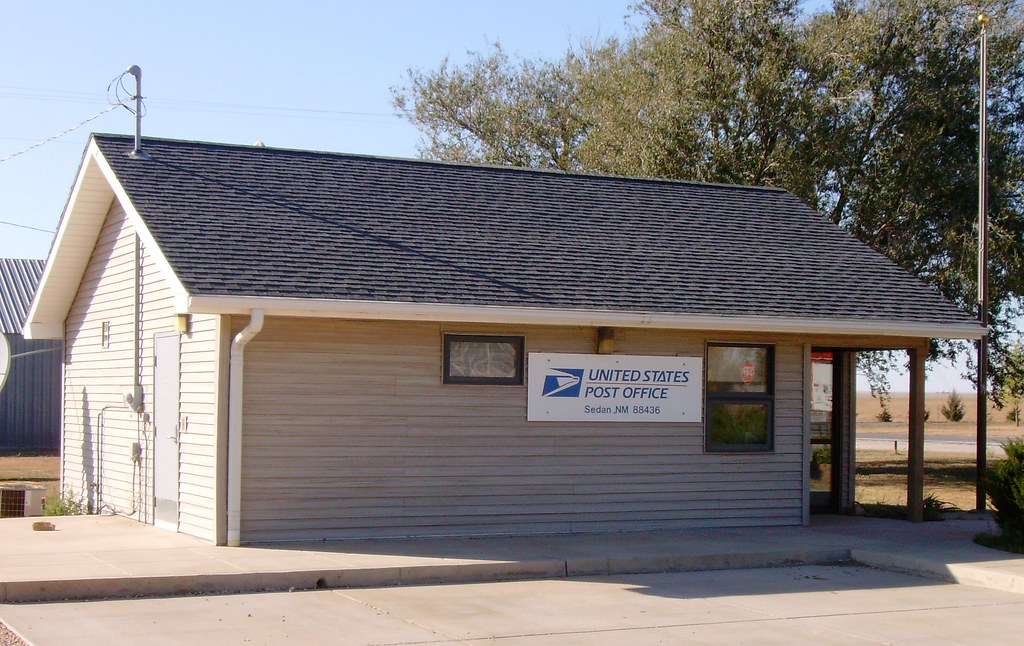
Post Office 88436 (Sedan, New Mexico)

Old Sedan School Bell Memorial Detail (Sedan, New Mexico)

Old Sedan Gas Station (Sedan, New Mexico)
Topographic Map of Yoder Rd, Dalhart, TX, USA
Find elevation by address:

Places near Yoder Rd, Dalhart, TX, USA:
Texline
Bell Road
Bell Road
Bell Road
Main St, Clayton, NM, USA
Clayton
Stead
Union County
Bueyeros
Logan
Harding County
Adrian
Boise
South Pole
Sofia
Glenrio
Glenrio
Q R a E, Tucumcari, NM, USA
Tucumcari Koa Journey
Tucumcari
Recent Searches:
- Elevation of Corso Fratelli Cairoli, 35, Macerata MC, Italy
- Elevation of Tallevast Rd, Sarasota, FL, USA
- Elevation of 4th St E, Sonoma, CA, USA
- Elevation of Black Hollow Rd, Pennsdale, PA, USA
- Elevation of Oakland Ave, Williamsport, PA, USA
- Elevation of Pedrógão Grande, Portugal
- Elevation of Klee Dr, Martinsburg, WV, USA
- Elevation of Via Roma, Pieranica CR, Italy
- Elevation of Tavkvetili Mountain, Georgia
- Elevation of Hartfords Bluff Cir, Mt Pleasant, SC, USA