Elevation of Texline, TX, USA
Location: United States > Texas > Dallam County >
Longitude: -103.02409
Latitude: 36.3778066
Elevation: 1430m / 4692feet
Barometric Pressure: 85KPa
Elevation Map:
Satellite Map:
Related Photos:
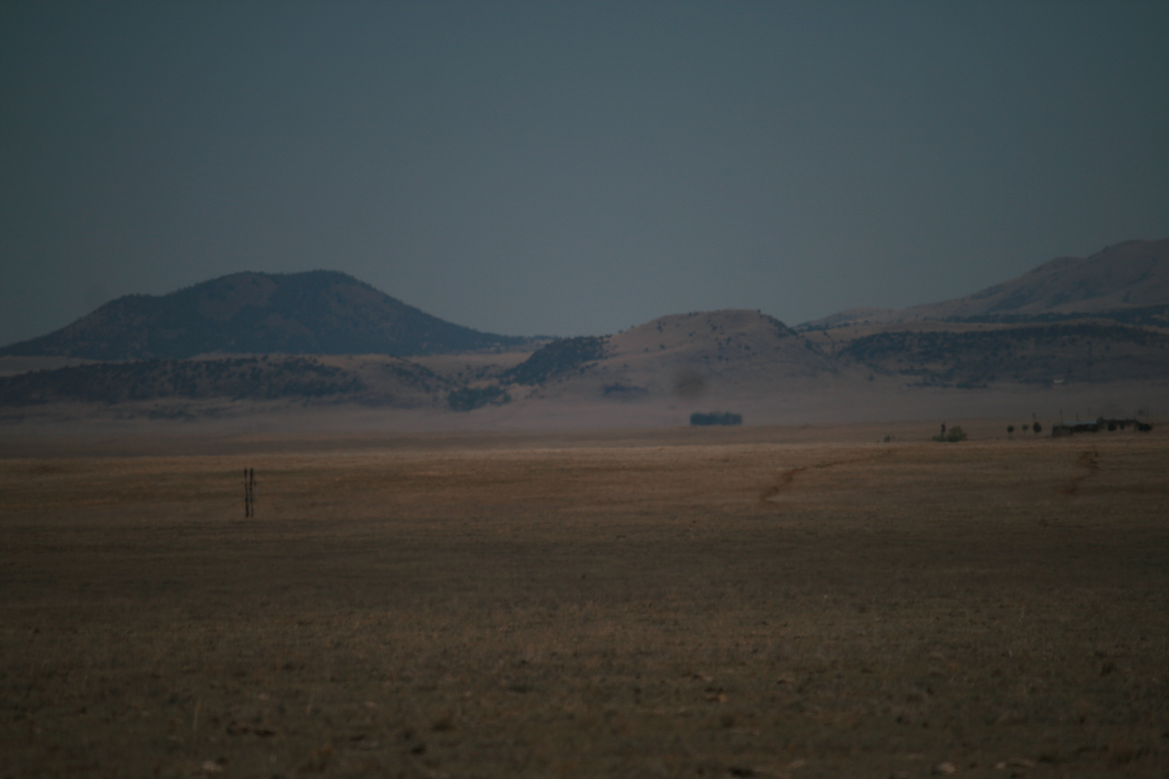
Summer08 08 005.jpg
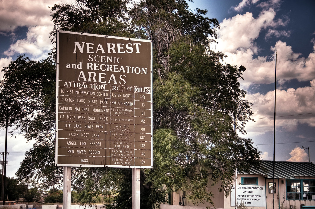
Nearest Scenic and Recreation Areas

Summer08 08 005.jpg
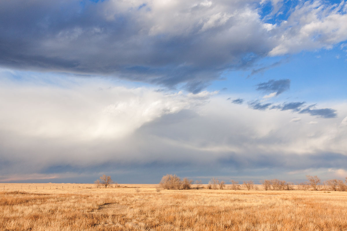
Winter Clouds
2010-05-18_2893
Near Texline

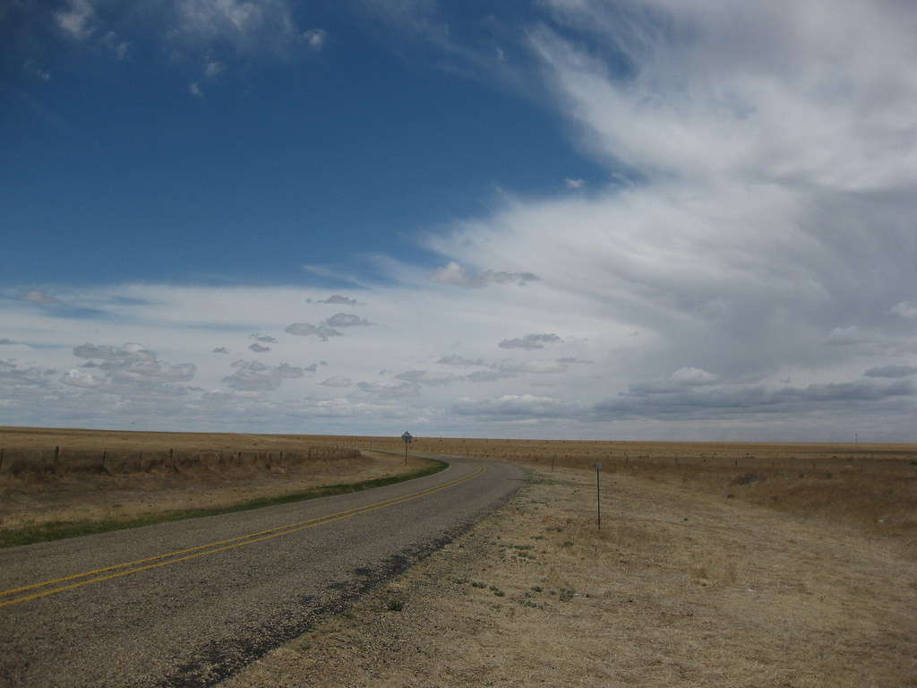
The open road in the Texas panhandle
day7-26
day7-29

Harris's [sic] Sparrow first winter

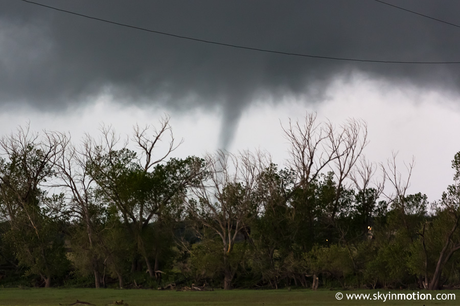
Wall Cloud Prior to Texline Tornado
Topographic Map of Texline, TX, USA
Find elevation by address:

Places near Texline, TX, USA:
Bell Road
Bell Road
Bell Road
Main St, Clayton, NM, USA
Clayton
Yoder Rd, Dalhart, TX, USA
Stead
Union County
Bueyeros
Sofia
Harding County
Logan
South Pole
Adrian
Boise
Glenrio
Glenrio
Q R a E, Tucumcari, NM, USA
Tucumcari Koa Journey
Tucumcari
Recent Searches:
- Elevation of Corso Fratelli Cairoli, 35, Macerata MC, Italy
- Elevation of Tallevast Rd, Sarasota, FL, USA
- Elevation of 4th St E, Sonoma, CA, USA
- Elevation of Black Hollow Rd, Pennsdale, PA, USA
- Elevation of Oakland Ave, Williamsport, PA, USA
- Elevation of Pedrógão Grande, Portugal
- Elevation of Klee Dr, Martinsburg, WV, USA
- Elevation of Via Roma, Pieranica CR, Italy
- Elevation of Tavkvetili Mountain, Georgia
- Elevation of Hartfords Bluff Cir, Mt Pleasant, SC, USA