Elevation of Yellowhead Highway, Yellowhead Hwy, Canada
Location: Canada > Alberta > Division No. 14 > Yellowhead County >
Longitude: -115.28438
Latitude: 53.6033816
Elevation: -10000m / -32808feet
Barometric Pressure: 295KPa
Elevation Map:
Satellite Map:
Related Photos:

AB09k07 St. Alphonsus Church in Wildwood, Alberta 2009

AB09k06 St. Alphonsus Church in Wildwood, Alberta 2009
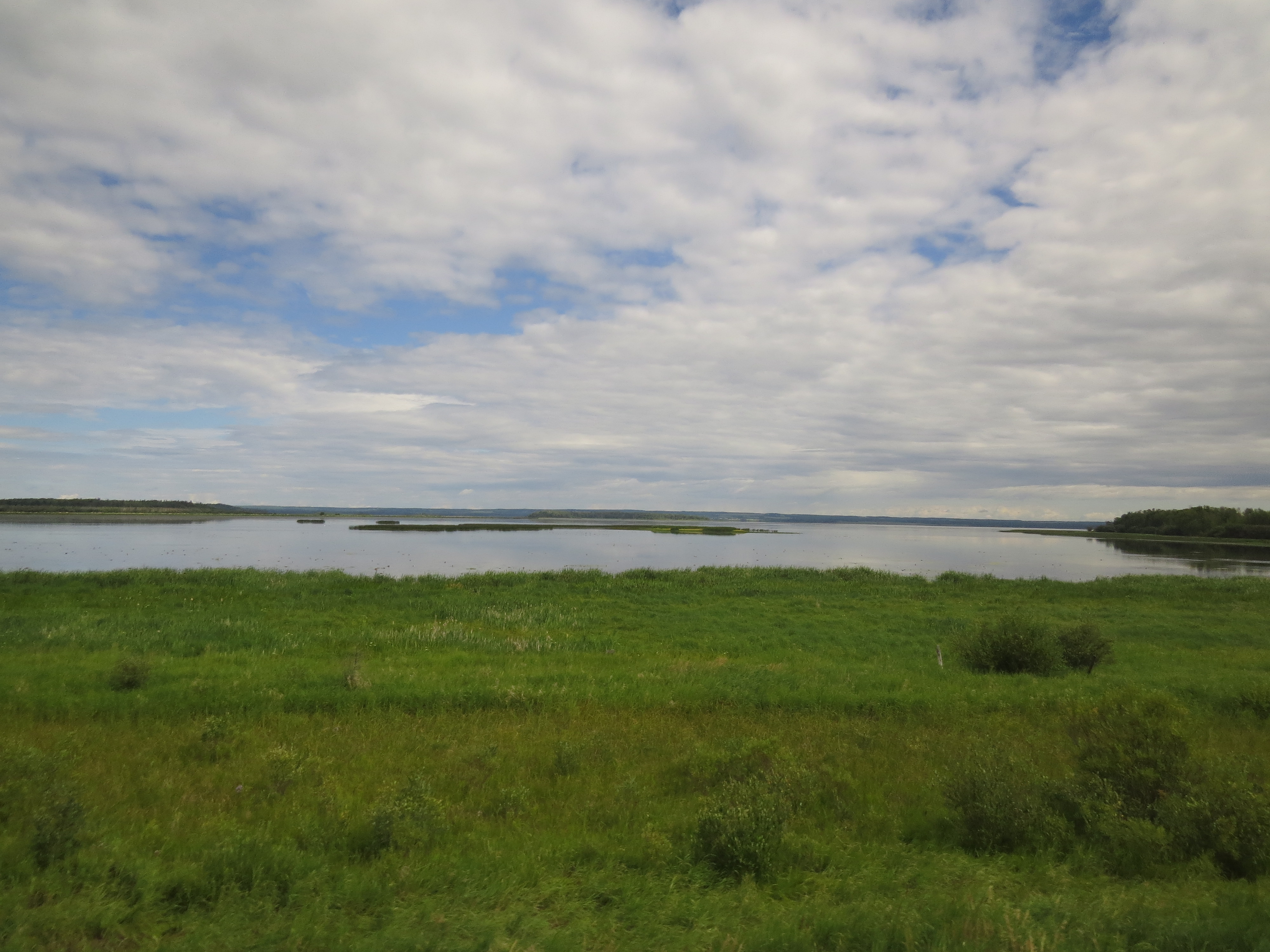
View of Chip Lake between Edson and Wabamun, Alberta

The Rocky Road

Soft Colours
The last Show

Ice Fog on Chip Lake

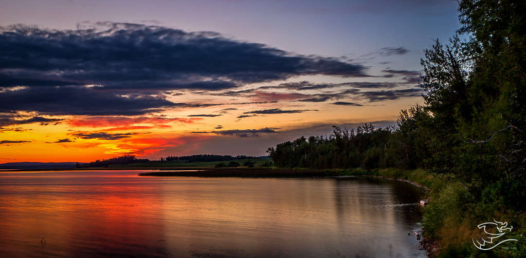
Off to the Sunset

A Little More Ice Time
Topographic Map of Yellowhead Highway, Yellowhead Hwy, Canada
Find elevation by address:

Places near Yellowhead Highway, Yellowhead Hwy, Canada:
50 St, Wildwood, AB T0E 2M0, Canada
Entwistle
5 1 St W, Gainford, AB T0E 0W0, Canada
Gainford
29 Lake Ave
Seba Beach
First Ave N, Seba Beach, AB T0E 2B0, Canada
16 Main St, Fallis, AB T0E 0V0, Canada
Fallis
56031-56109
Sundance
T0e 0v0
Wabamun Lake
Wabamun
Fort Assiniboine
Yellowstone
1 St, Alberta Beach, AB T0E 0A0, Canada
50 Ave, Alberta Beach, AB T0E 0A0, Canada
4915 49a Ave
Sunset Point
Recent Searches:
- Elevation of Côte-des-Neiges, Montreal, QC H4A 3J6, Canada
- Elevation of Bobcat Dr, Helena, MT, USA
- Elevation of Zu den Ihlowbergen, Althüttendorf, Germany
- Elevation of Badaber, Peshawar, Khyber Pakhtunkhwa, Pakistan
- Elevation of SE Heron Loop, Lincoln City, OR, USA
- Elevation of Slanický ostrov, 01 Námestovo, Slovakia
- Elevation of Spaceport America, Co Rd A, Truth or Consequences, NM, USA
- Elevation of Warwick, RI, USA
- Elevation of Fern Rd, Whitmore, CA, USA
- Elevation of 62 Abbey St, Marshfield, MA, USA