Elevation of 50 St, Wildwood, AB T0E 2M0, Canada
Location: Canada > Alberta > Division No. 14 > Yellowhead County >
Longitude: -115.2383793
Latitude: 53.6100123
Elevation: 801m / 2628feet
Barometric Pressure: 0KPa
Related Photos:
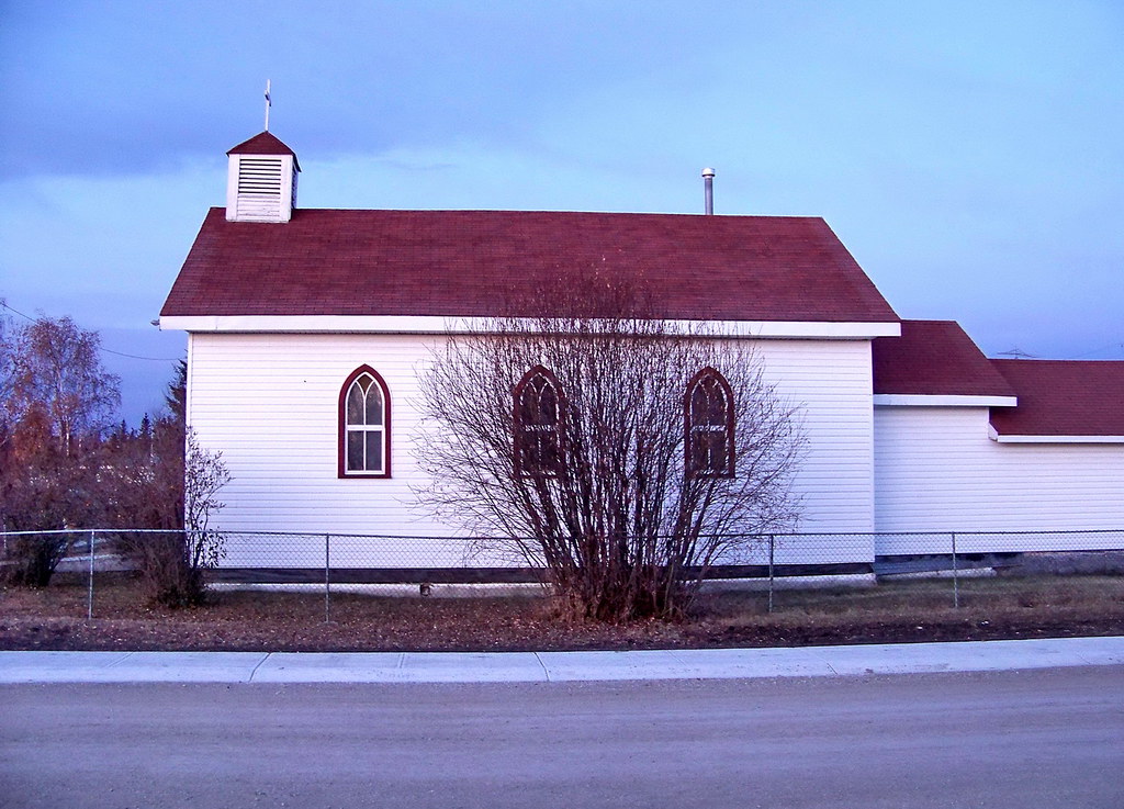
AB09k07 St. Alphonsus Church in Wildwood, Alberta 2009
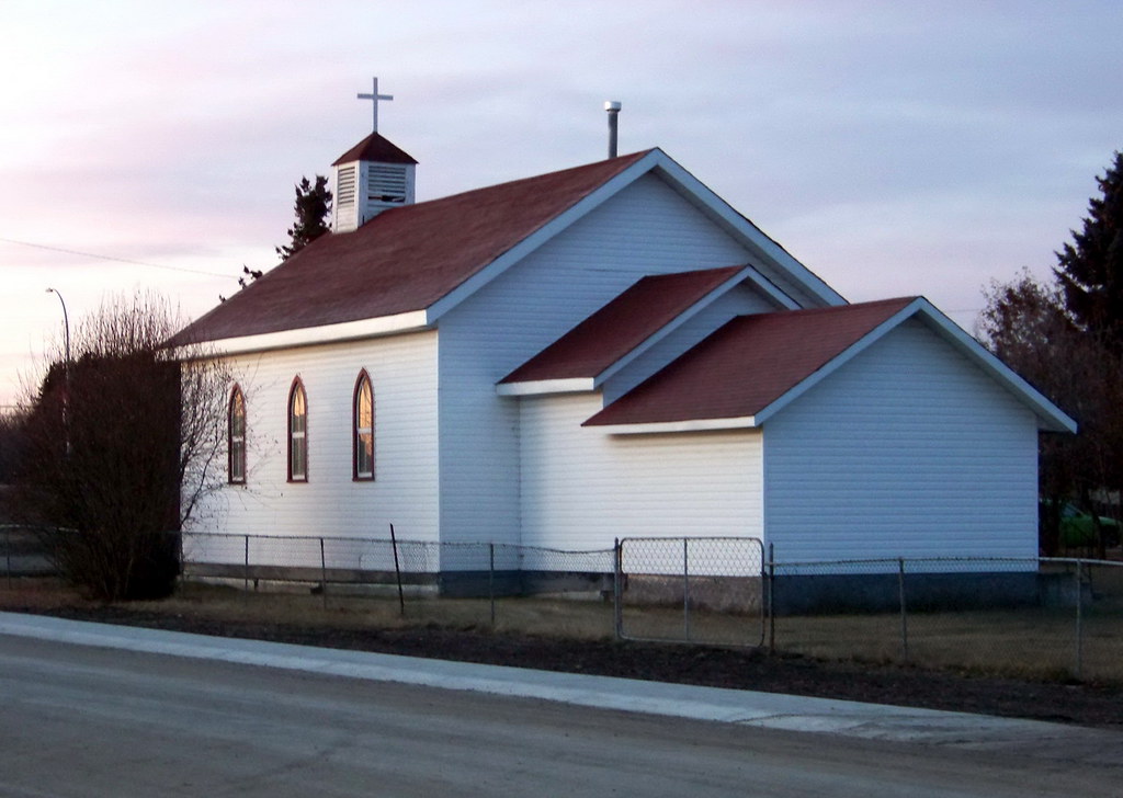
AB09k06 St. Alphonsus Church in Wildwood, Alberta 2009
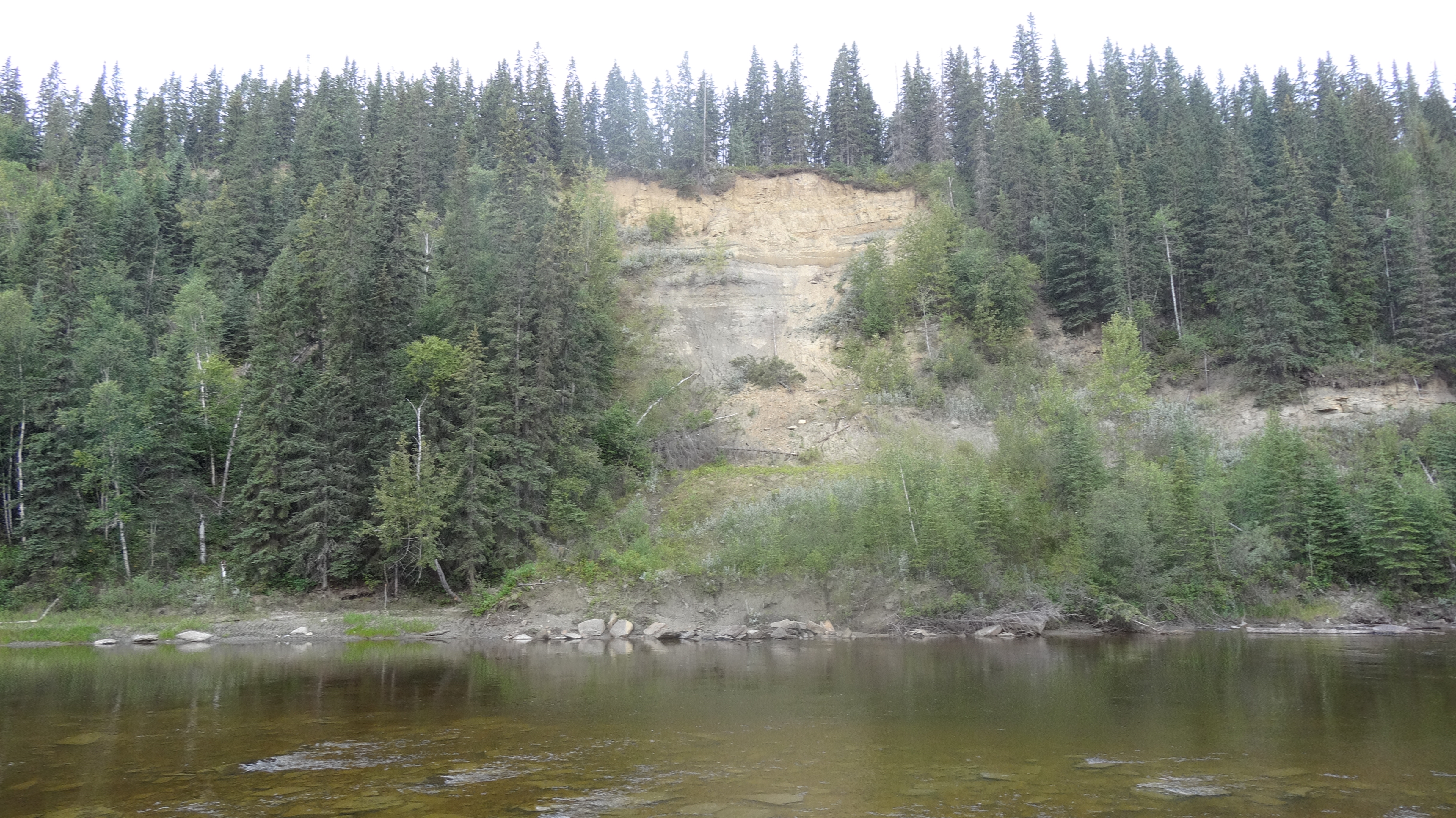
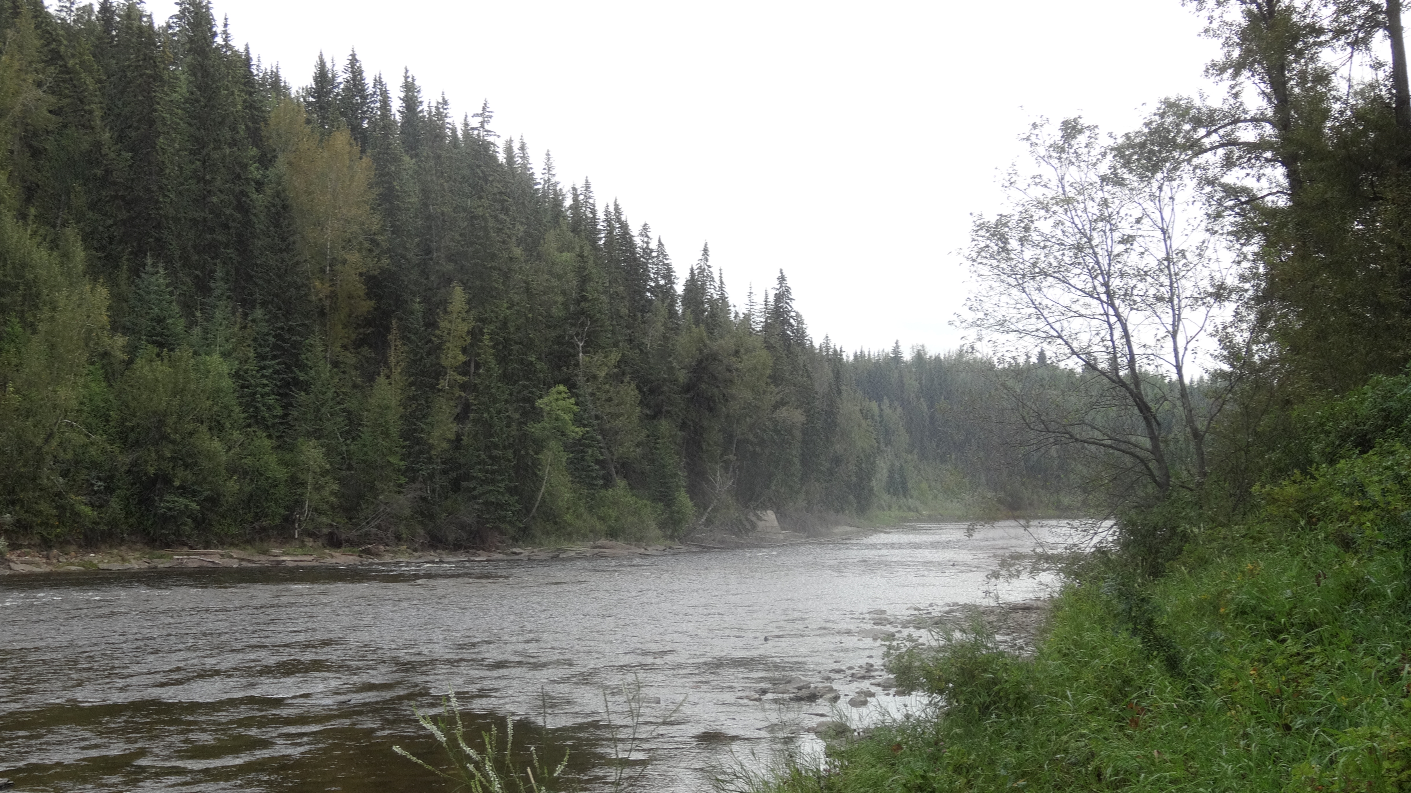
View of the Riverbanks along the Pembina River, Pembina Provincial Park,
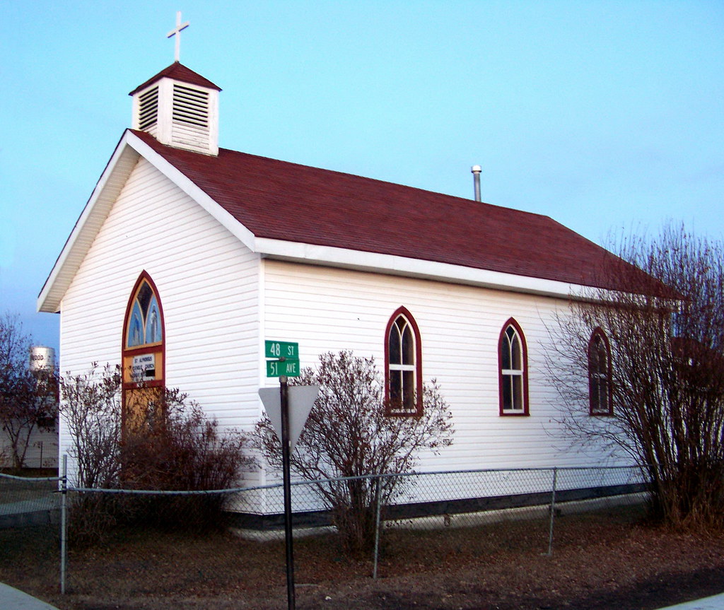
AB09k08 St. Alphonsus Church in Wildwood, Alberta 2009
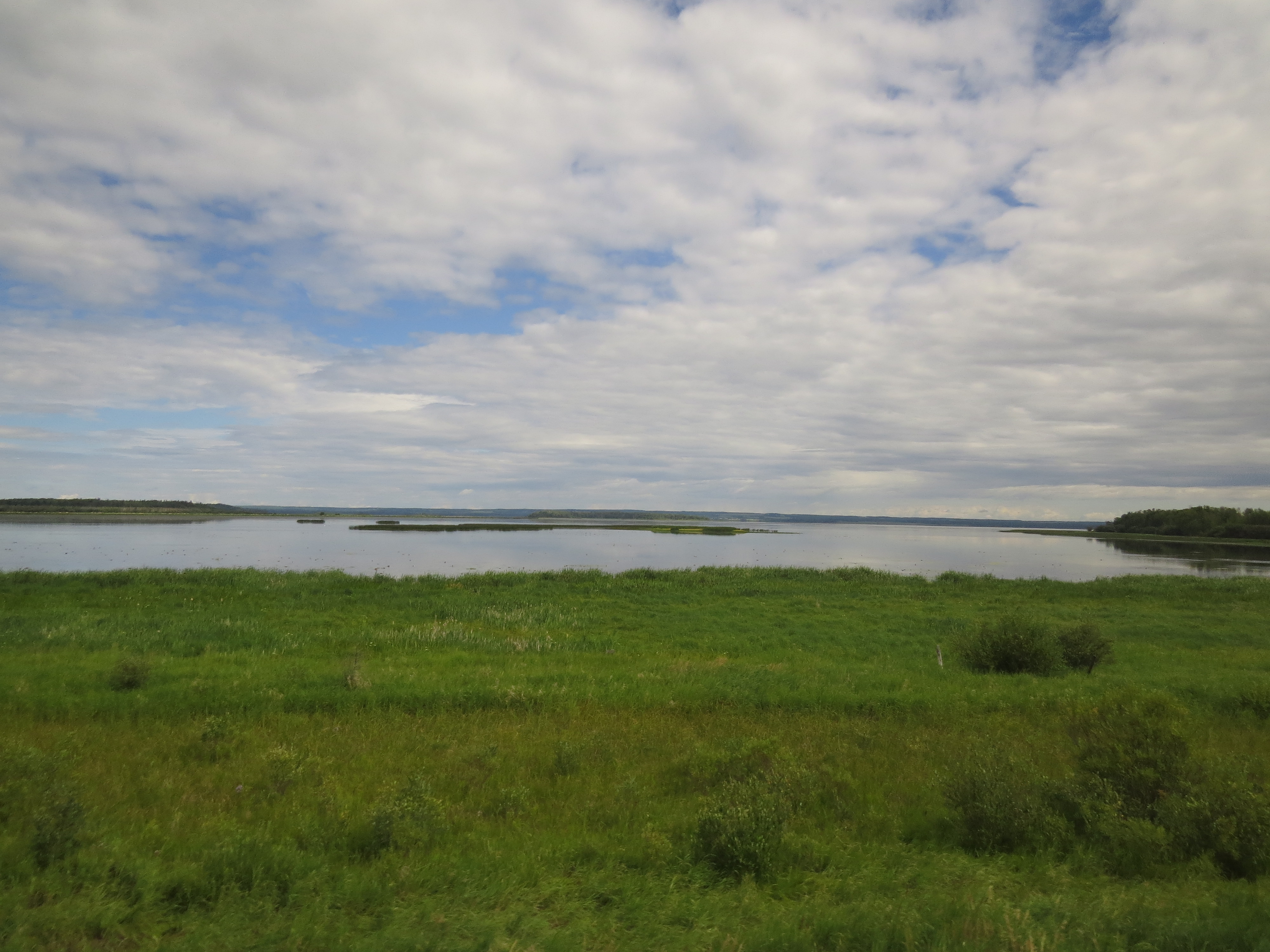
View of Chip Lake between Edson and Wabamun, Alberta

View of the Pembina River looking towards Pembina River Provincial Park.
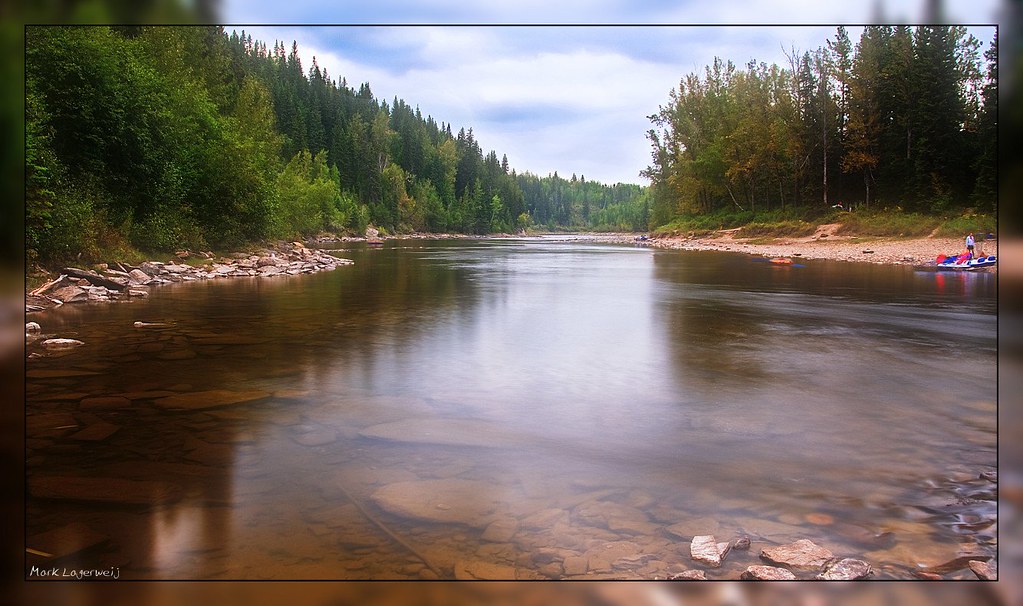
Pembina River

The Rocky Road

Soft Colours
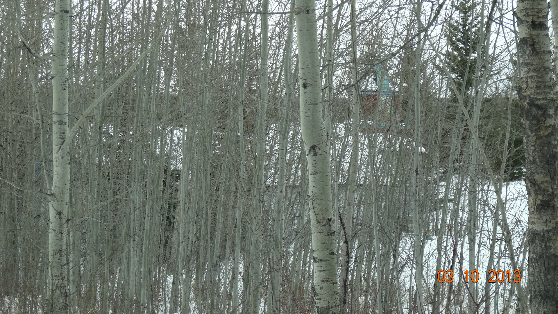
Empty Church through the trees in Granada Alberta.

The last Show

Ice Fog on Chip Lake
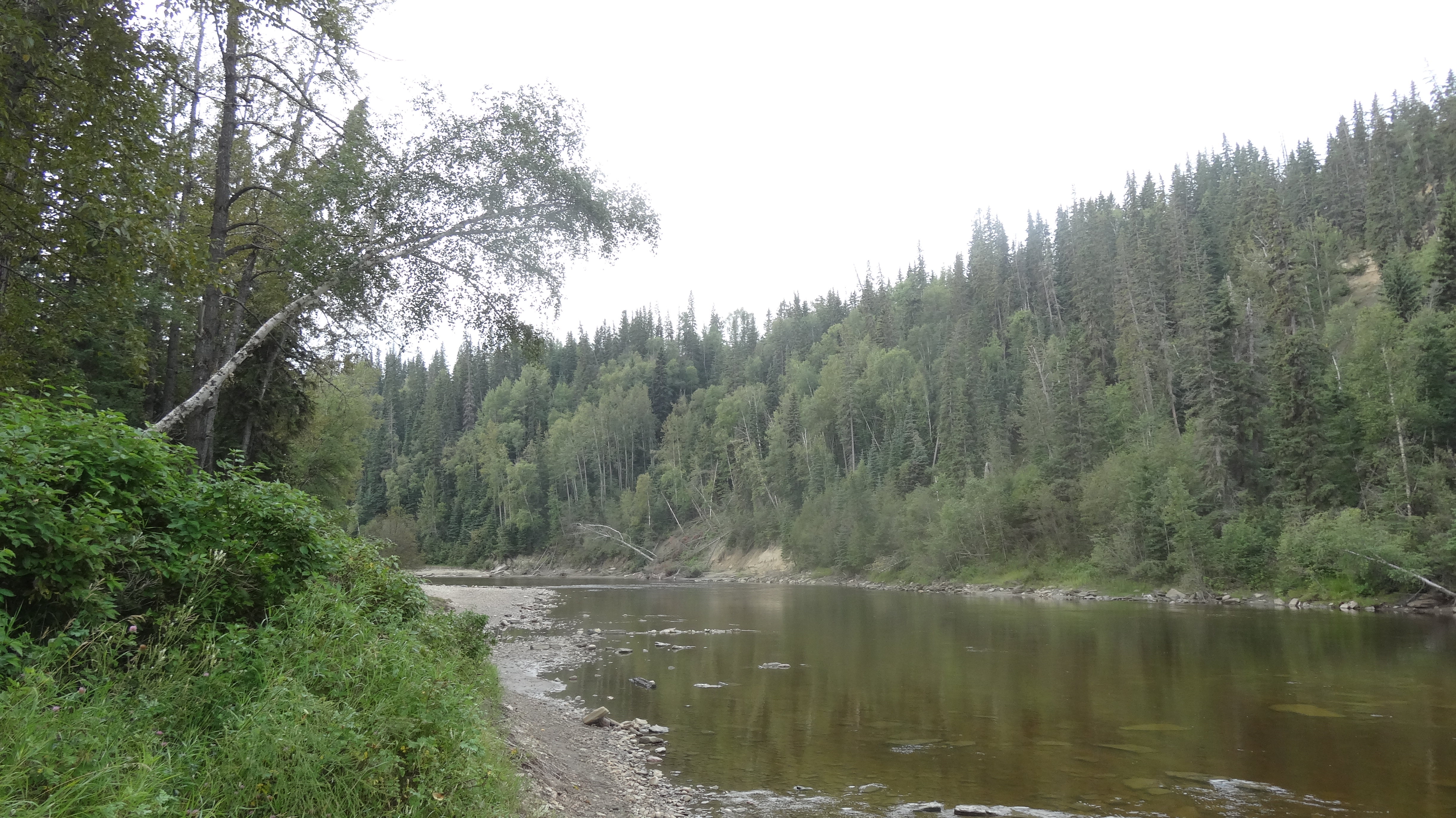
Pembina River, Pembina Provincial Park, Alberta
Pembina River, Pembina Provincial Park, Entwistle Alberta

Off to the Sunset

A Lonely Passing

A Little More Ice Time
Topographic Map of 50 St, Wildwood, AB T0E 2M0, Canada
Find elevation by address:

Places near 50 St, Wildwood, AB T0E 2M0, Canada:
Yellowhead Highway
Entwistle
5 1 St W, Gainford, AB T0E 0W0, Canada
Gainford
29 Lake Ave
Seba Beach
First Ave N, Seba Beach, AB T0E 2B0, Canada
16 Main St, Fallis, AB T0E 0V0, Canada
Fallis
56031-56109
Sundance
T0e 0v0
Wabamun Lake
Wabamun
Fort Assiniboine
Yellowstone
1 St, Alberta Beach, AB T0E 0A0, Canada
50 Ave, Alberta Beach, AB T0E 0A0, Canada
4915 49a Ave
Sunset Point
Recent Searches:
- Elevation map of Greenland, Greenland
- Elevation of Sullivan Hill, New York, New York, 10002, USA
- Elevation of Morehead Road, Withrow Downs, Charlotte, Mecklenburg County, North Carolina, 28262, USA
- Elevation of 2800, Morehead Road, Withrow Downs, Charlotte, Mecklenburg County, North Carolina, 28262, USA
- Elevation of Yangbi Yi Autonomous County, Yunnan, China
- Elevation of Pingpo, Yangbi Yi Autonomous County, Yunnan, China
- Elevation of Mount Malong, Pingpo, Yangbi Yi Autonomous County, Yunnan, China
- Elevation map of Yongping County, Yunnan, China
- Elevation of North 8th Street, Palatka, Putnam County, Florida, 32177, USA
- Elevation of 107, Big Apple Road, East Palatka, Putnam County, Florida, 32131, USA
- Elevation of Jiezi, Chongzhou City, Sichuan, China
- Elevation of Chongzhou City, Sichuan, China
- Elevation of Huaiyuan, Chongzhou City, Sichuan, China
- Elevation of Qingxia, Chengdu, Sichuan, China
- Elevation of Corso Fratelli Cairoli, 35, Macerata MC, Italy
- Elevation of Tallevast Rd, Sarasota, FL, USA
- Elevation of 4th St E, Sonoma, CA, USA
- Elevation of Black Hollow Rd, Pennsdale, PA, USA
- Elevation of Oakland Ave, Williamsport, PA, USA
- Elevation of Pedrógão Grande, Portugal