Elevation of Yellow Pine, ID, USA
Location: United States > Idaho > Valley County >
Longitude: -115.49328
Latitude: 44.963779
Elevation: 1455m / 4774feet
Barometric Pressure: 85KPa
Elevation Map:
Satellite Map:
Related Photos:

Morning View from the Test

Ice Hole Campground

Across the River

Peeking out the Tent

Puddles in the road
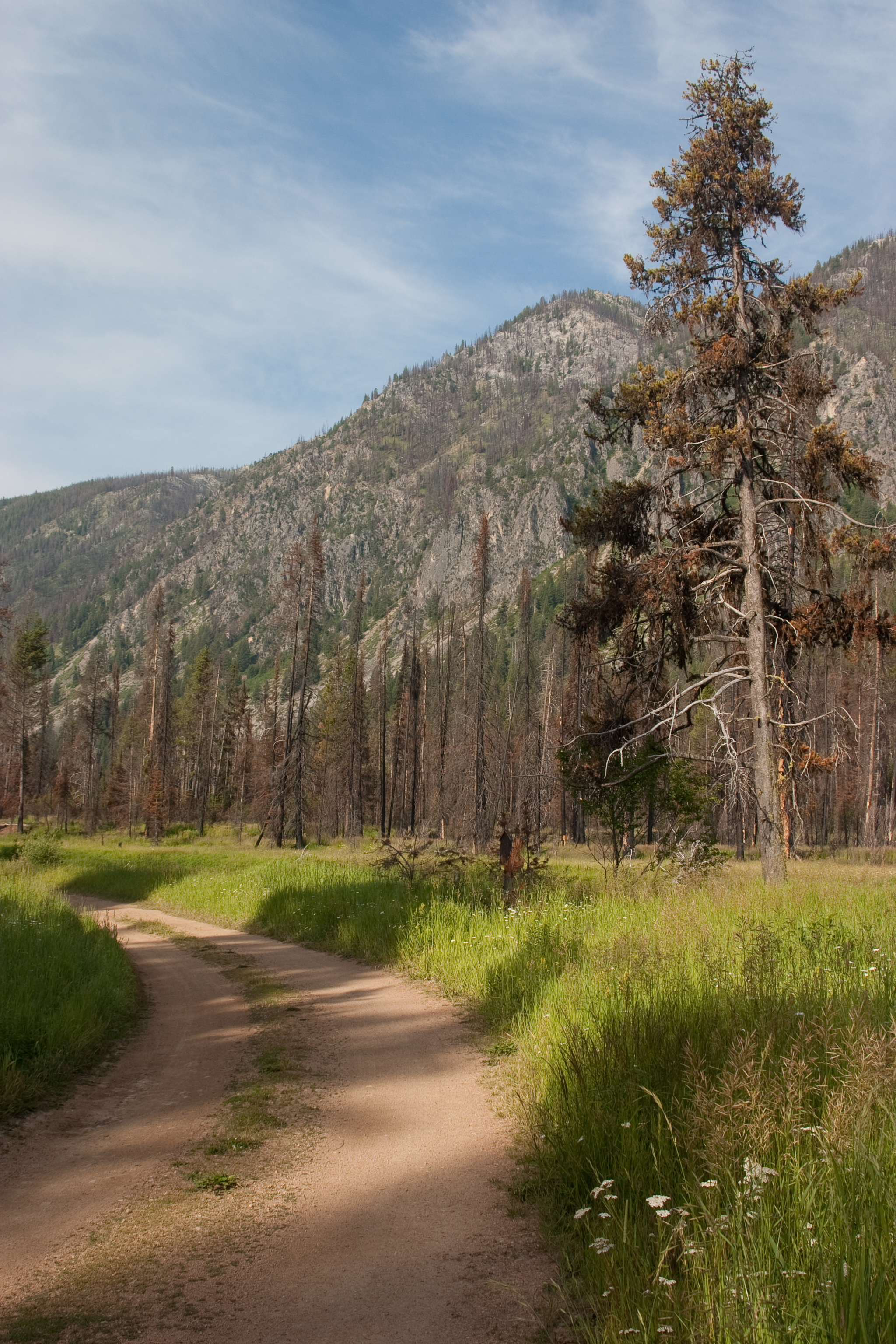
Campground Trail

Johnson Creek at Ice Hole

stibnite mine idaho
Topographic Map of Yellow Pine, ID, USA
Find elevation by address:

Places in Yellow Pine, ID, USA:
Places near Yellow Pine, ID, USA:
Yellow Pine Campground
Ice Hole Campground
Valley County
Shoreline Dr, Cascade, ID, USA
Poker Meadows Campground
14172 Adams Cir
1029 Cee Way Loop
Ponderosa State Park
300 Krahn Ln
991 Sylvan Beach Rd
Mccall
E Lake St, McCall, ID, USA
Payette Lake
221 Morgan Dr
54 Scheline Ln
Heinrich Ln, McCall, ID, USA
Donnelly
Brookie Road
Brookie Road
13211 Brookie Rd
Recent Searches:
- Elevation of E 63rd St, New York, NY, USA
- Elevation of Elk City, OK, USA
- Elevation of Erika Dr, Windsor, CA, USA
- Elevation of Village Ln, Finleyville, PA, USA
- Elevation of 24 Oakland Rd #, Scotland, ON N0E 1R0, Canada
- Elevation of Deep Gap Farm Rd E, Mill Spring, NC, USA
- Elevation of Dog Leg Dr, Minden, NV, USA
- Elevation of Dog Leg Dr, Minden, NV, USA
- Elevation of Kambingan Sa Pansol Atbp., Purok 7 Pansol, Candaba, Pampanga, Philippines
- Elevation of Pinewood Dr, New Bern, NC, USA