Elevation of Ya Ha Tinda Ranch, Clearwater County, AB T4T 1A4, Canada
Location: Canada > Alberta > Division No. 9 > Clearwater County >
Longitude: -115.58127
Latitude: 51.753659
Elevation: 1661m / 5449feet
Barometric Pressure: 83KPa
Elevation Map:
Satellite Map:
Related Photos:

Ya Ha Tinda view

Ahead of the system

Rocks and Rockies

One huge cloud

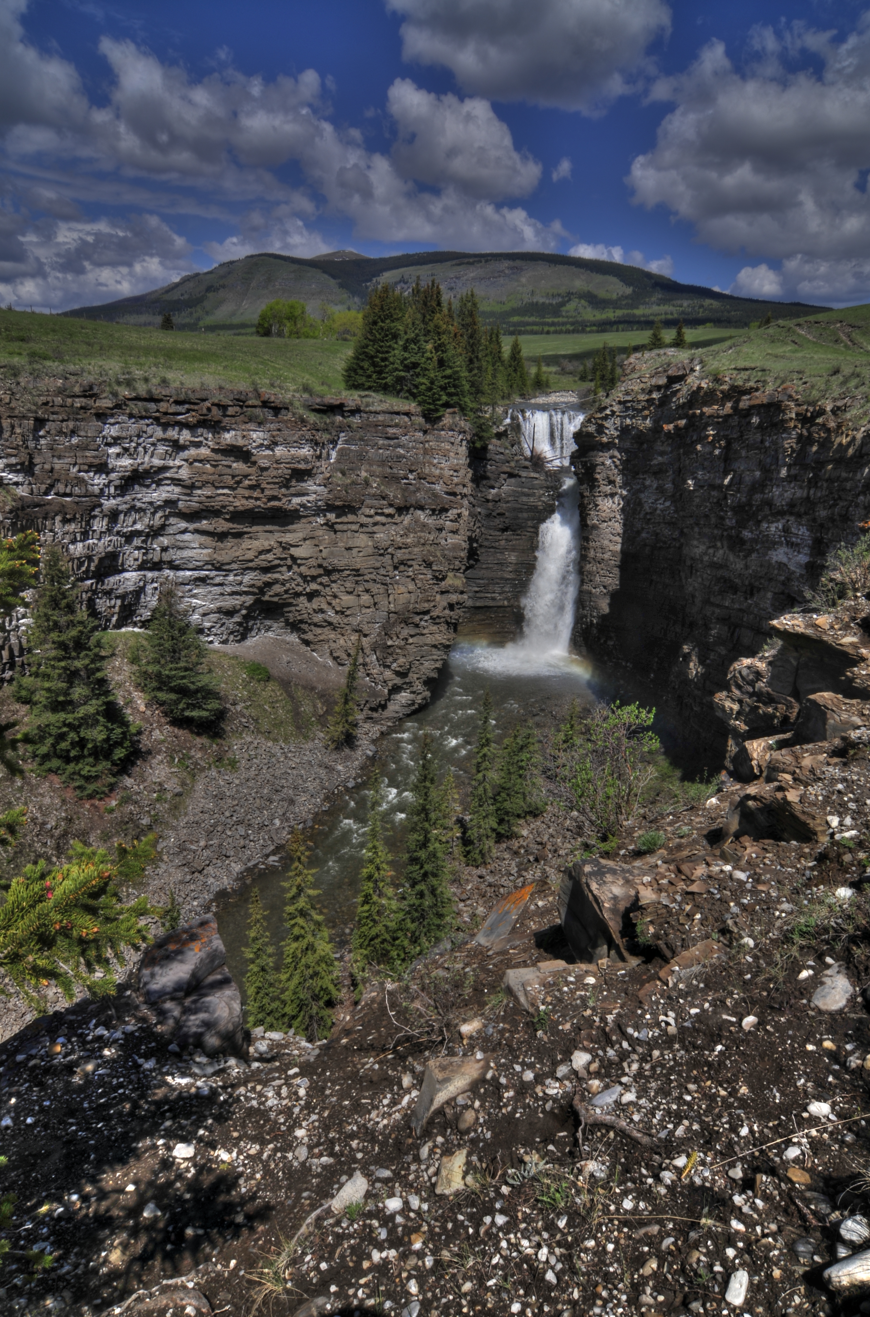
Big Horn Falls
High noon shooting

Looking upstream

Beautifully inclement

Scene and herd

Remnants of a burn

Base of the falls

Home early

Banff, Alberta
Topographic Map of Ya Ha Tinda Ranch, Clearwater County, AB T4T 1A4, Canada
Find elevation by address:

Places near Ya Ha Tinda Ranch, Clearwater County, AB T4T 1A4, Canada:
Scalp Se5
Barrier Mountain
Labyrinth Mountain
Scalp Se2
Dormer Mountain
Scalp Peak
Maze Peak
Mount Minos
Wapiti Mountain
Otuskwan Peak
Melanin Peak
Bare Range
Limestone Mountain
Panther Mountain
Zombie Peak
Puma Peak
Vermilion Range
Mount Oliver
Cuthead Peak
Psychic Peak
Recent Searches:
- Elevation of F36W+3M, Mussoorie, Uttarakhand, India
- Elevation of Fairland Ave, Fairhope, AL, USA
- Elevation of Sunset Dr, Richmond, VA, USA
- Elevation of Grodna District, Hrodna Region, Belarus
- Elevation of Hrodna, Hrodna Region, Belarus
- Elevation of Sandia Derby Estates, Tijeras, NM, USA
- Elevation of 23 Sunrise View Ct, Tijeras, NM, USA
- Elevation of Lytham Ln, Katy, TX, USA
- Elevation of Tater Hill, Oklahoma, USA
- Elevation of NY-, Friendship, NY, USA