Elevation of Panther Mountain, Improvement District No. 9, AB T0L, Canada
Location: Canada > Alberta > Division No. 15 > Improvement District No. 9 >
Longitude: -115.66833
Latitude: 51.5116666
Elevation: 2848m / 9344feet
Barometric Pressure: 71KPa
Elevation Map:
Satellite Map:
Related Photos:
The Canadian Rockies

Bow Lake, Frozen Winter Morning
Bourgeau's Shoulders
Richness Of The Rockies
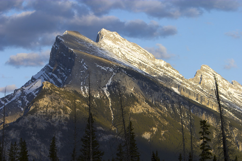
Mount Rundle
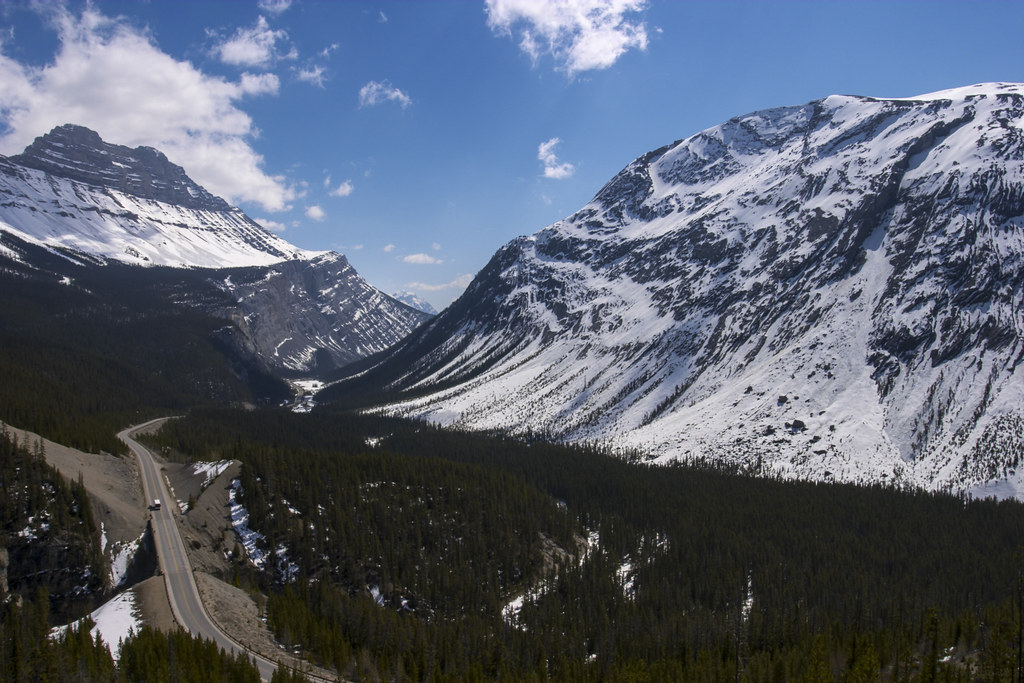
Icefields Parkway
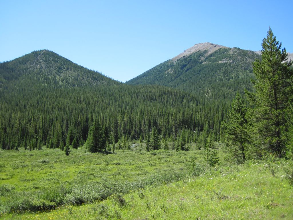
0171 View south from the Cascade River Trail over a meadow looking toward Noetic Peak
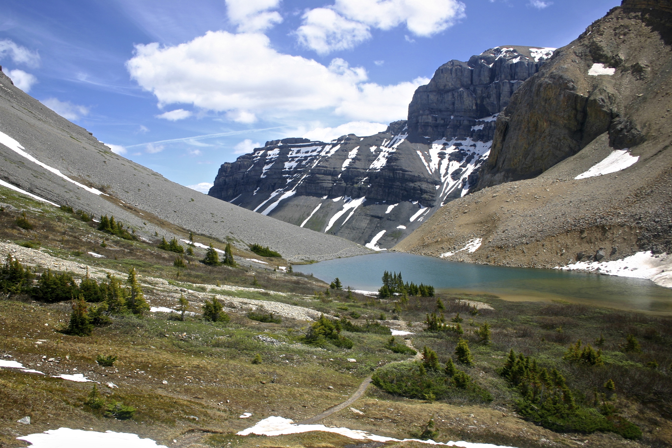
Nice view

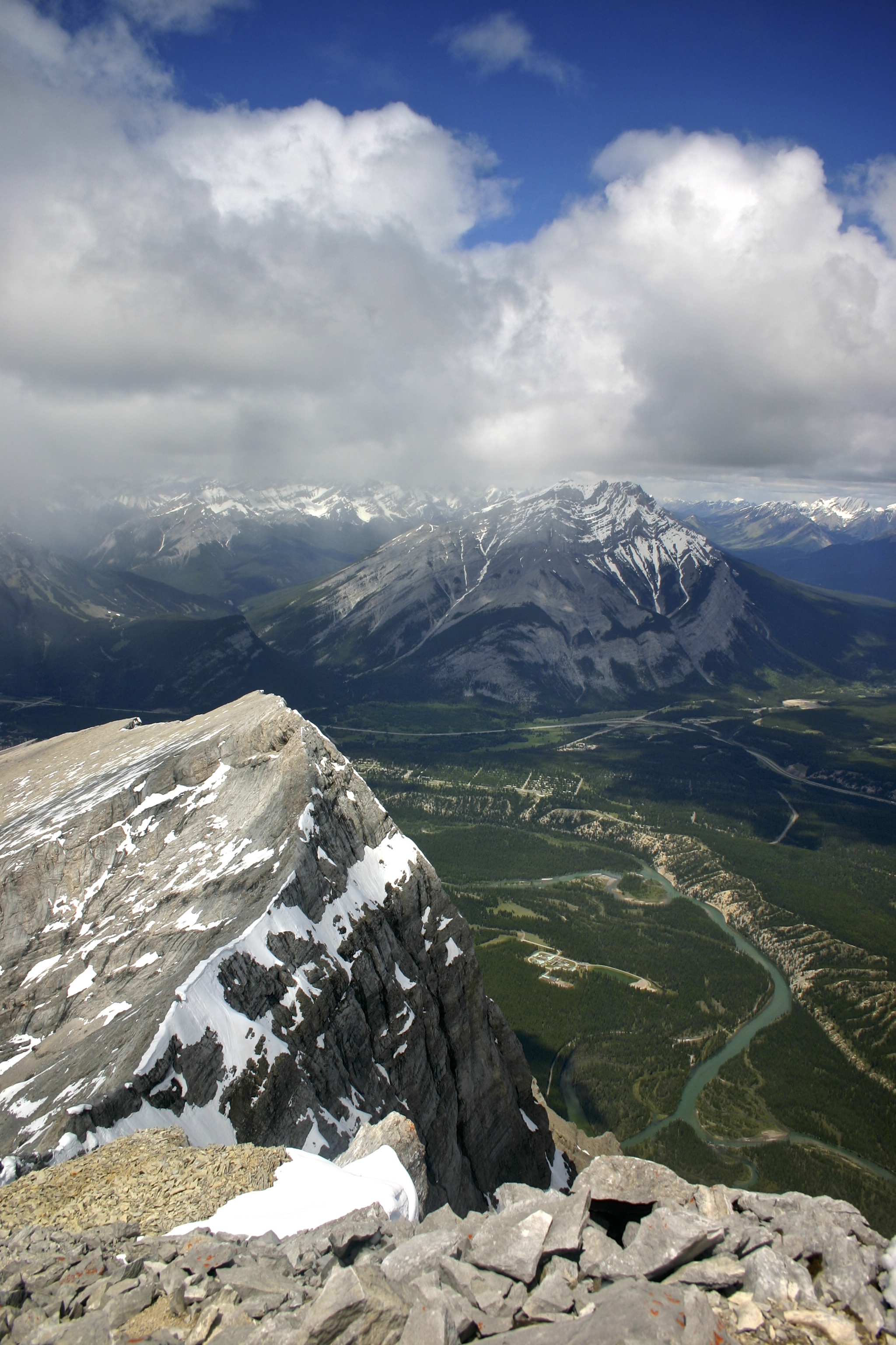
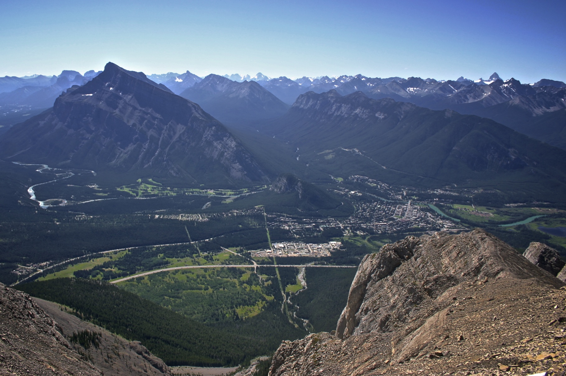
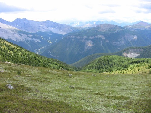
View from top
Topographic Map of Panther Mountain, Improvement District No. 9, AB T0L, Canada
Find elevation by address:

Places near Panther Mountain, Improvement District No. 9, AB T0L, Canada:
Puma Peak
Vermilion Range
Bare Range
Melanin Peak
Cuthead Peak
Flints Peak
Dormer Mountain
Otuskwan Peak
Barrier Mountain
Sira Peak
Zombie Peak
Haunted Peak
Psychic Peak
Elaphus Peak
Mount Oliver
Noetic Peak
Sira S5
Sawback Range
Block Mountain
Bonnet Peak
Recent Searches:
- Elevation of Corso Fratelli Cairoli, 35, Macerata MC, Italy
- Elevation of Tallevast Rd, Sarasota, FL, USA
- Elevation of 4th St E, Sonoma, CA, USA
- Elevation of Black Hollow Rd, Pennsdale, PA, USA
- Elevation of Oakland Ave, Williamsport, PA, USA
- Elevation of Pedrógão Grande, Portugal
- Elevation of Klee Dr, Martinsburg, WV, USA
- Elevation of Via Roma, Pieranica CR, Italy
- Elevation of Tavkvetili Mountain, Georgia
- Elevation of Hartfords Bluff Cir, Mt Pleasant, SC, USA