Elevation of Woodland Heights, Franklin, NC, USA
Location: United States > North Carolina > Macon County > Franklin > Franklin >
Longitude: -83.413673
Latitude: 35.1906488
Elevation: 836m / 2743feet
Barometric Pressure: 92KPa
Elevation Map:
Satellite Map:
Related Photos:

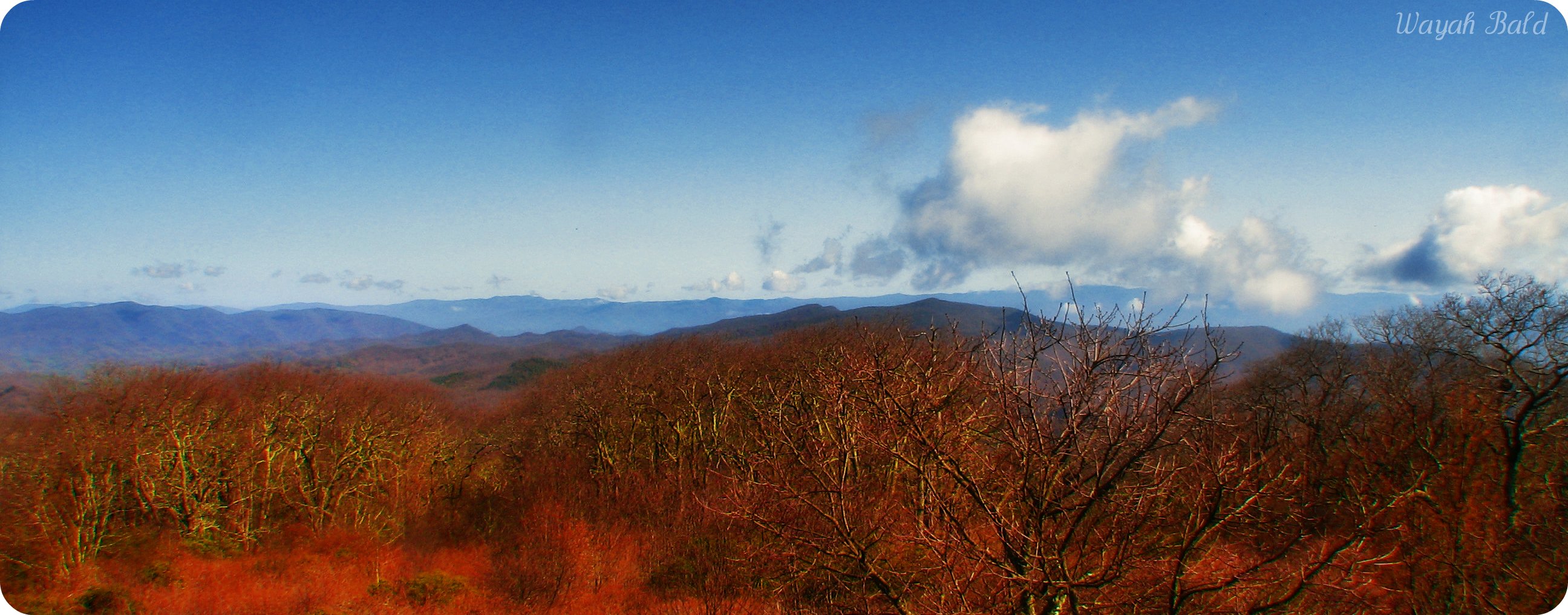
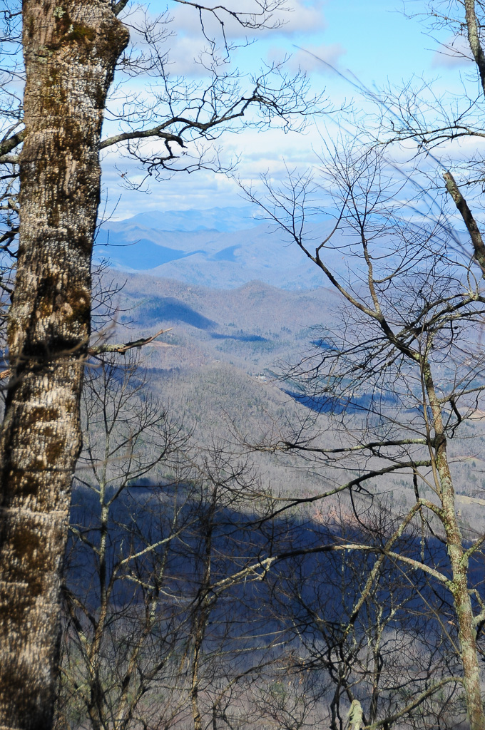
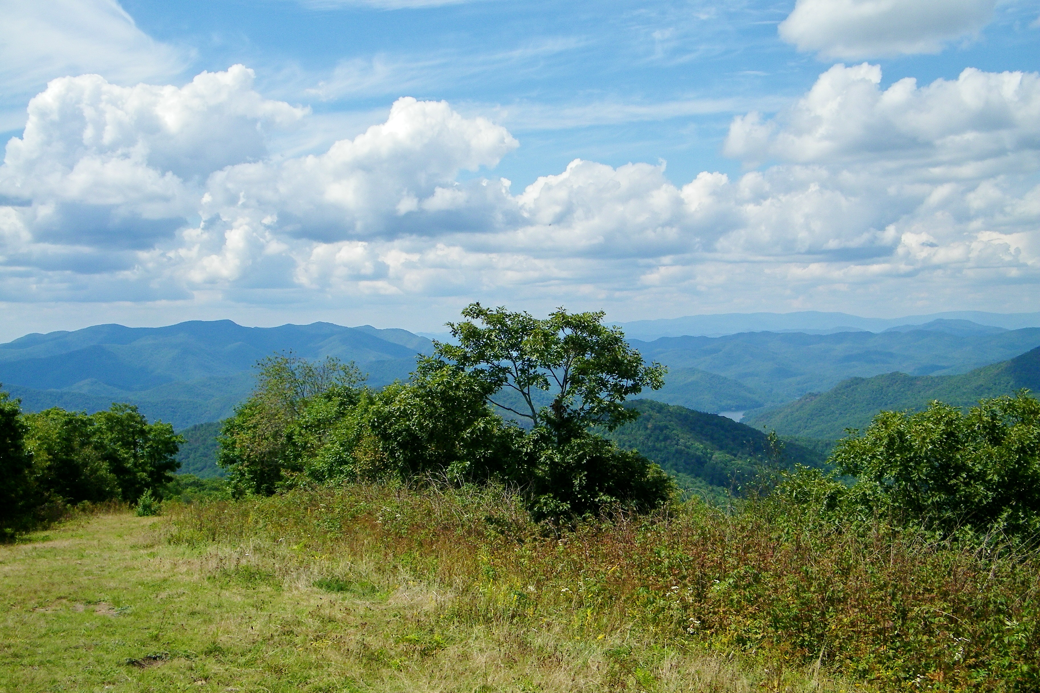
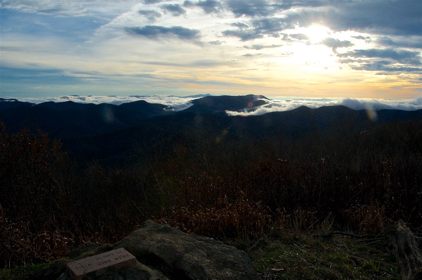
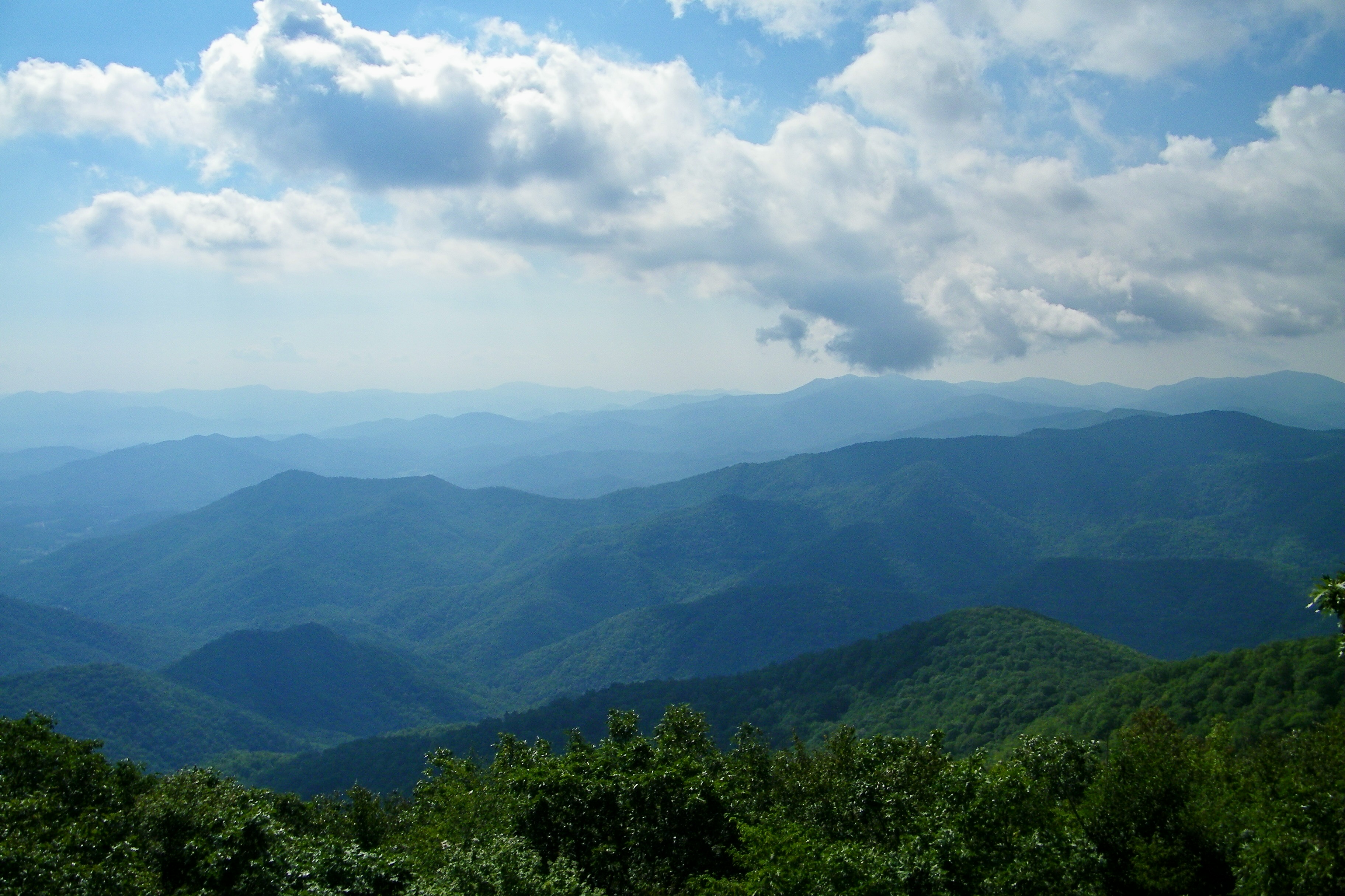
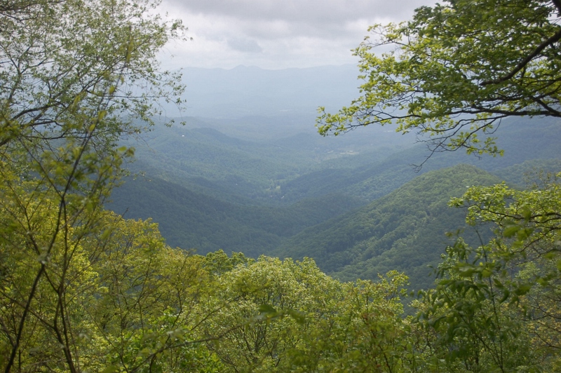
W4C/WM-024 - Siler Bald View
View from Wayah Bald Tower
Wayah Bald
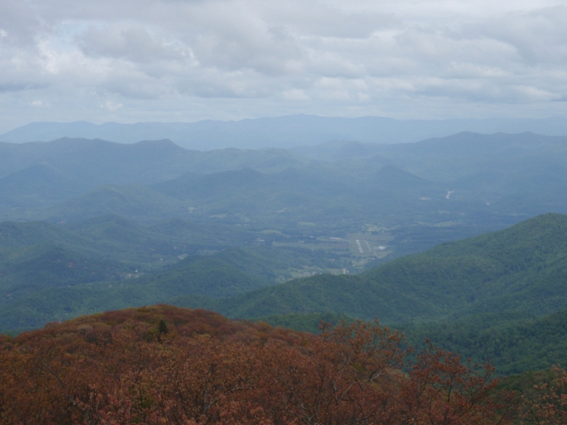
82-140_View_from_Wayah_Bald_Nantahala_National_Forest_NC
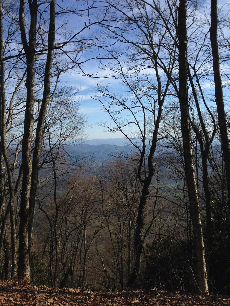
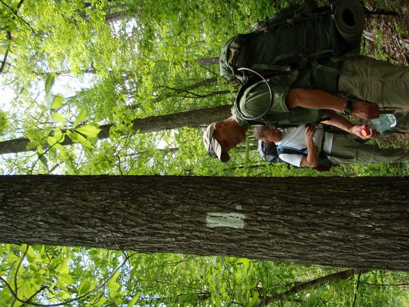
Halfway up Runaway Knob

Wayah Bald Fire Tower - Franklin, North Carolina (HDR)
View from W4C/WM-065 - Rocky Cove Knob
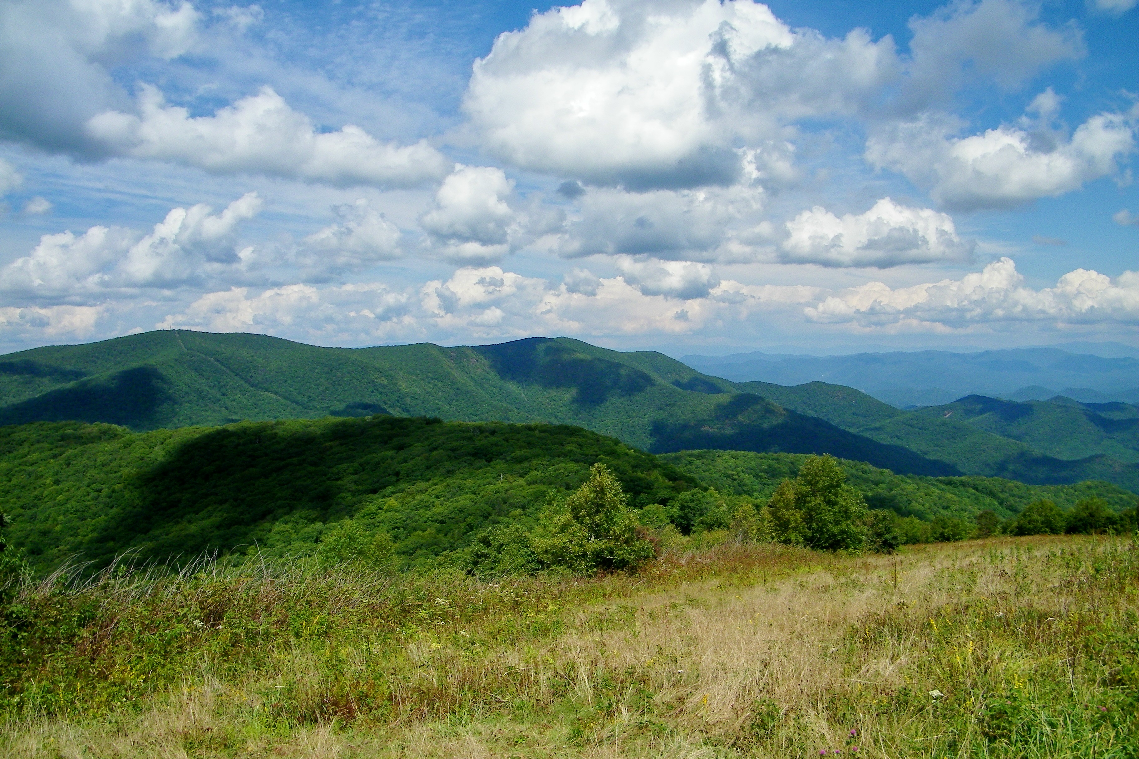
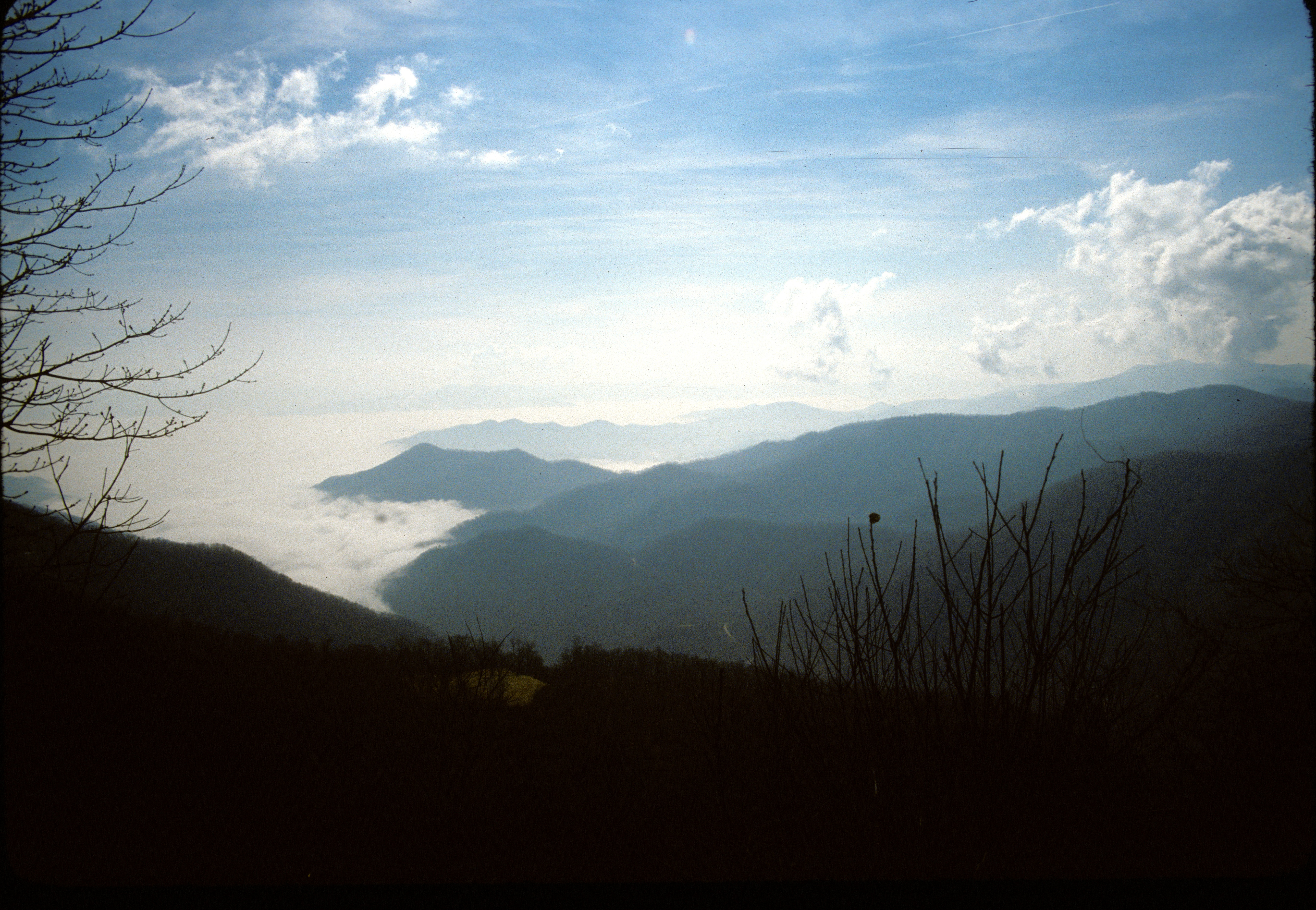
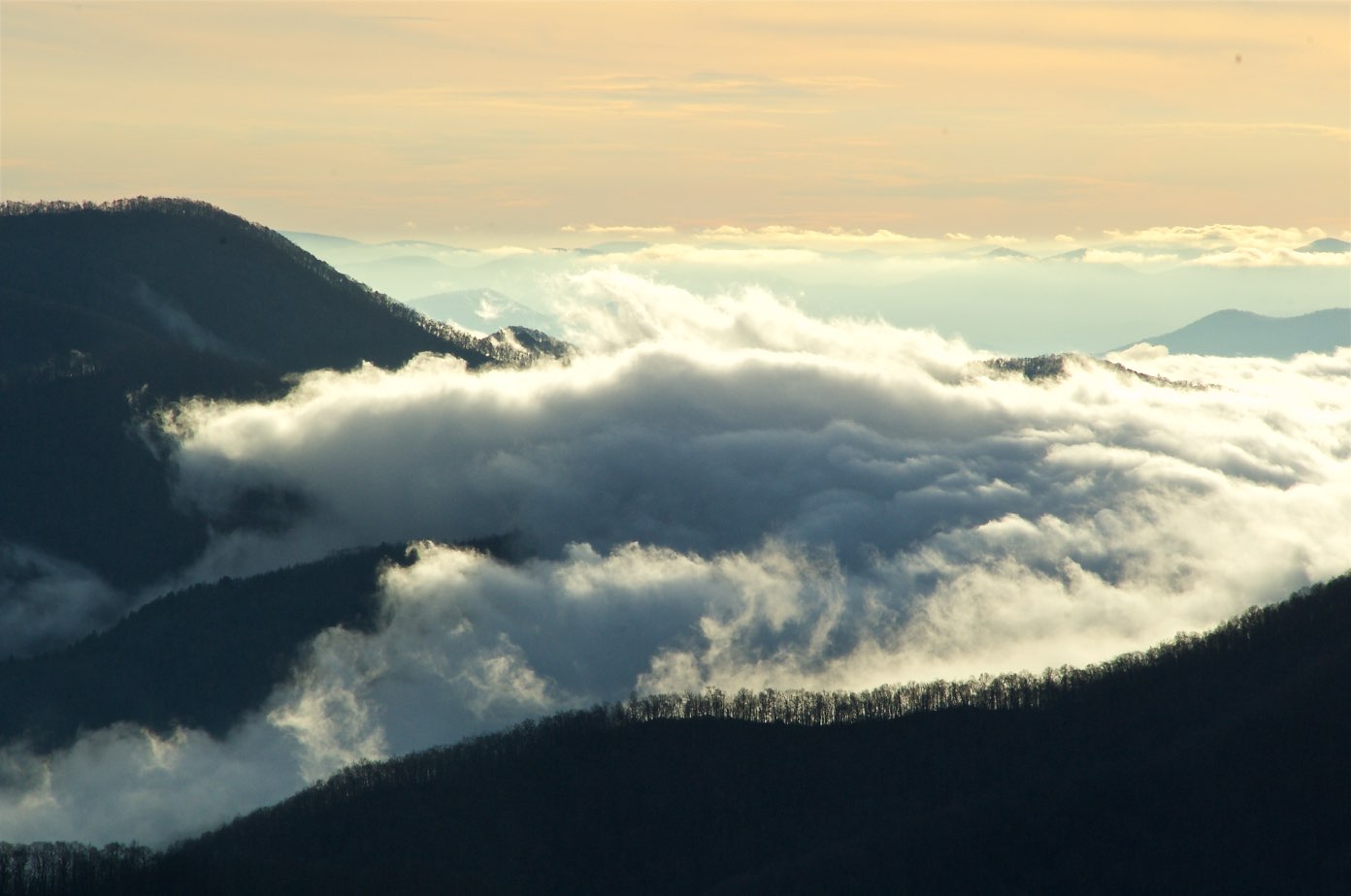
Silers Bald
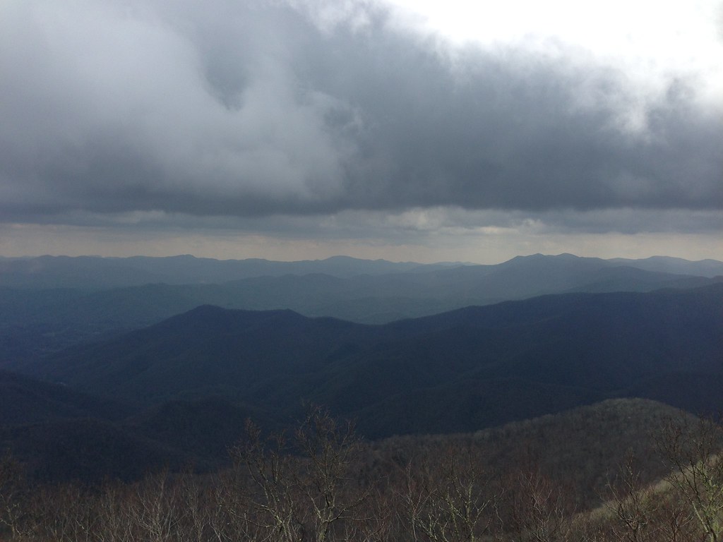
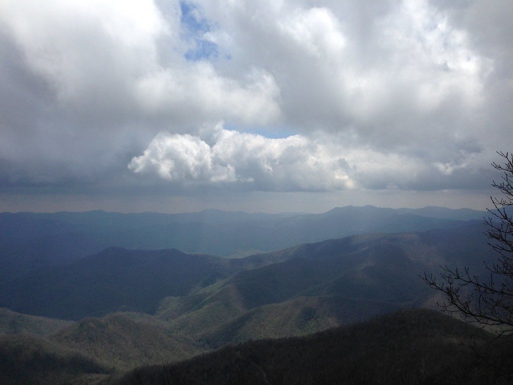
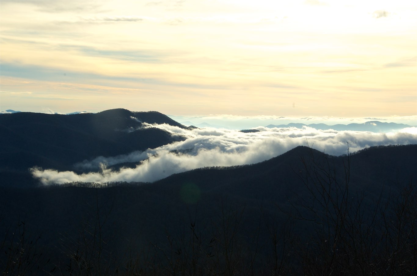
View from Wayah Bald
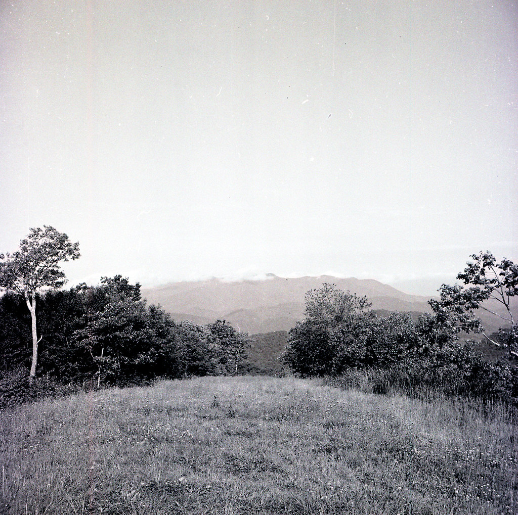
img013_edited-1
Silers Bald

Silers Bald
W4C/WM-024 - Siler Bald View
W4C/WM-024 - Siler Bald View
Silers Bald
Wayah Bald Lookout Tower
W4C/WM-024 - Siler Bald View
The famous sign

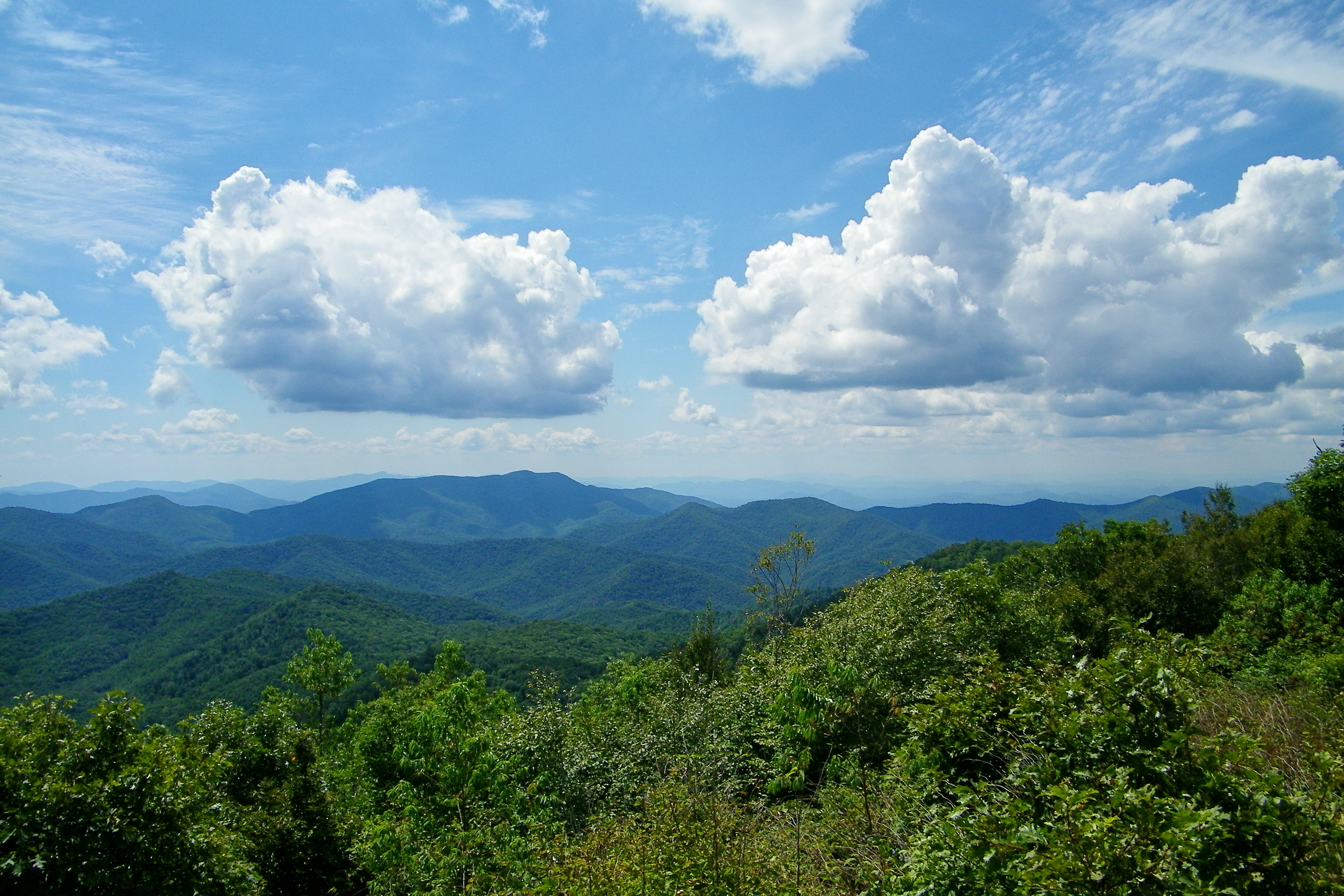
View from Siler Bald
More views
You earn these views
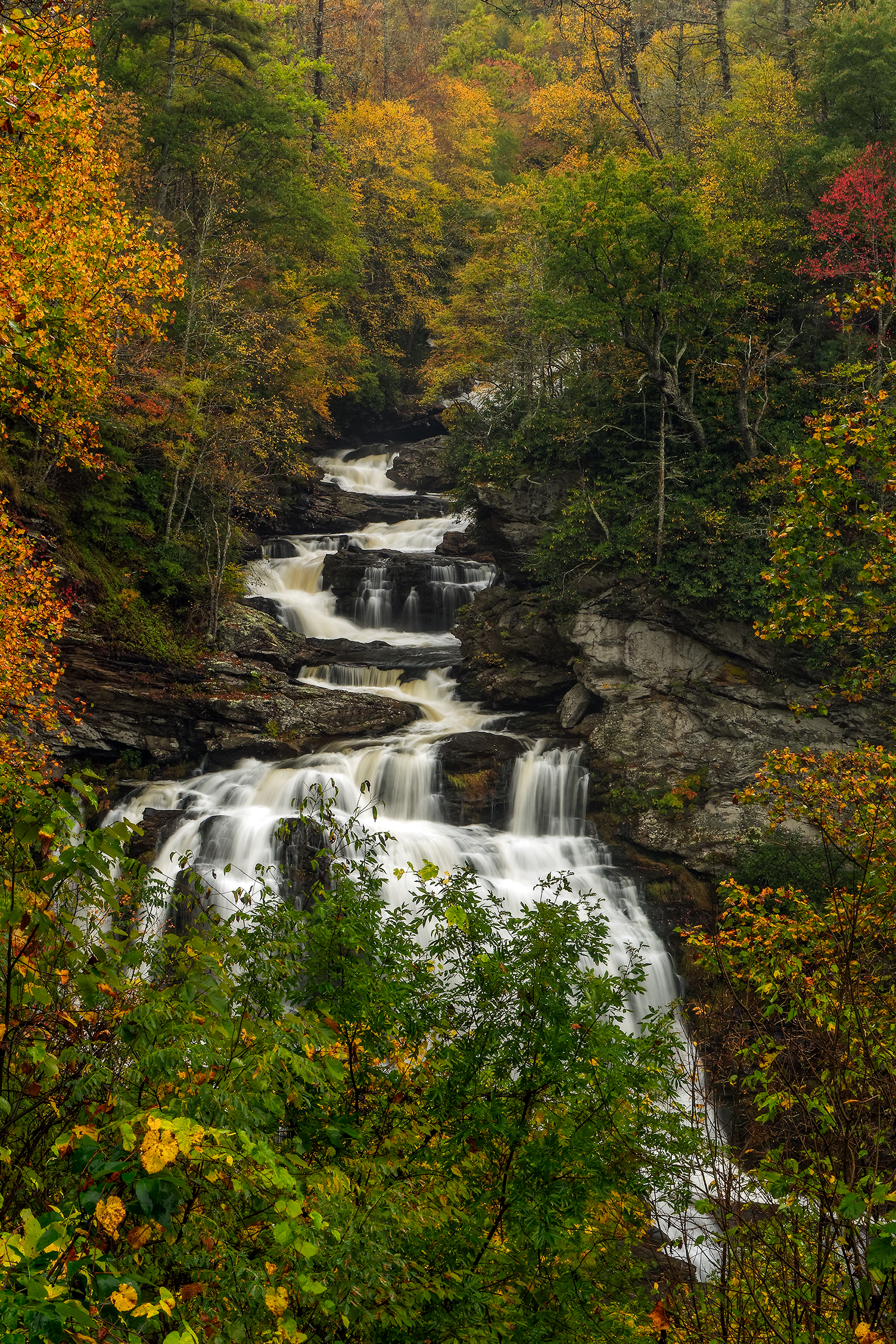
Cullasaja Falls, Redux

Morning on Main Street
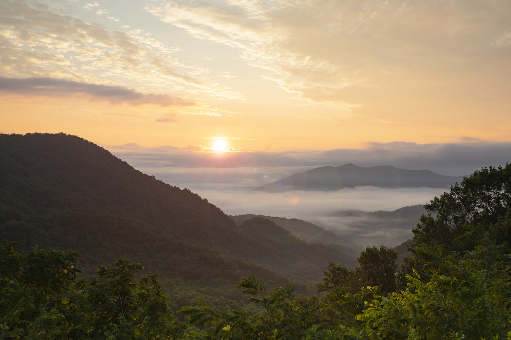
Winding Stair Sunrise

Quarry Falls

Rufus Morgan Falls

North Carolina Highlands NC Autumn River Gorge

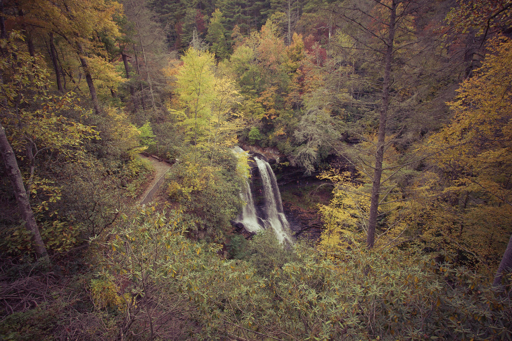
Fall colors
Mountain waves
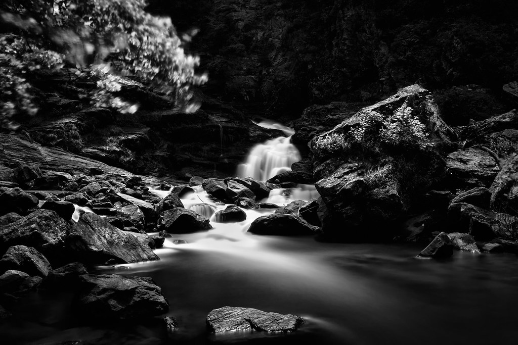
Dark Tranquility

Man vs Wild
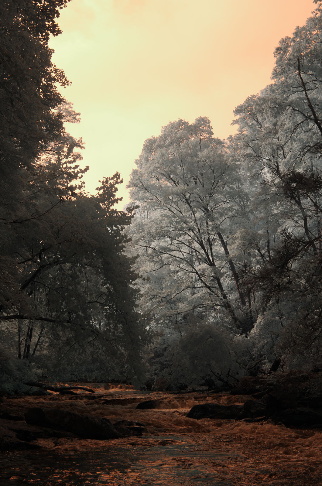
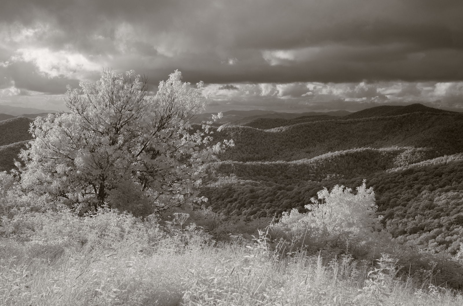
Cullasaja morning, infrared

Upper Cullasaja Falls
Cullasaja falls

Cullasaja Falls
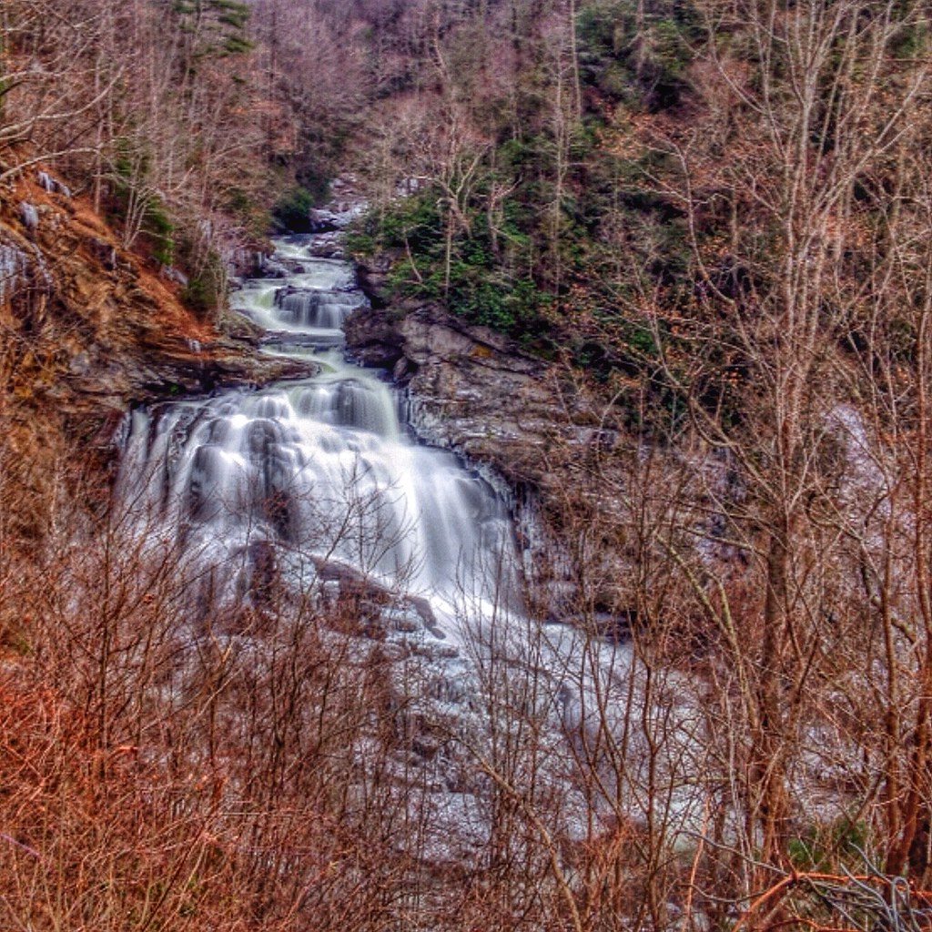
Dry Falls
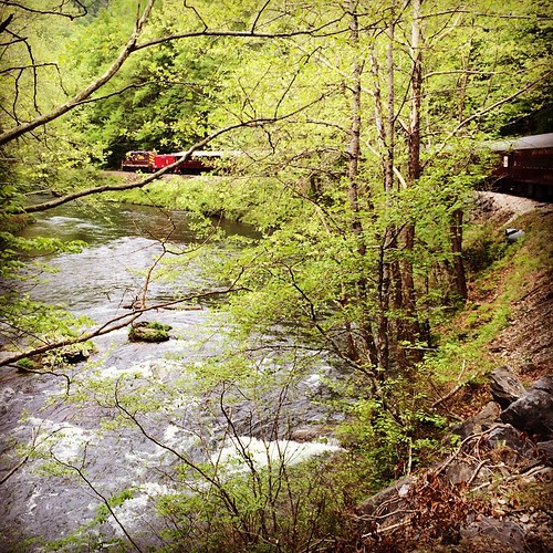
Train tour of the Great Smoky Mts

Big Laurel Falls #franklin #standingindian #appalachia #blueridgecountry #welovenc #we_see_wnc #wilderness_culture #biglaurelfalls #diamondbrand_outdoors #cmc100challenge #stream #falls #explore #westernnorthcarolina #landofwaterfalls

Rufus Morgan Trailhead-8426
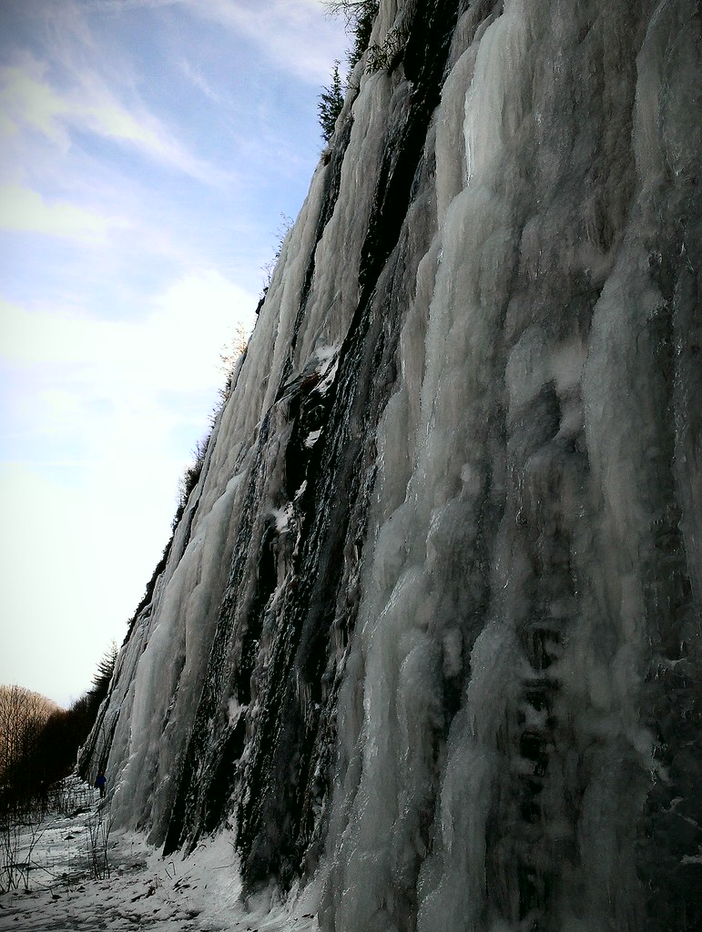
Interstate ice wall
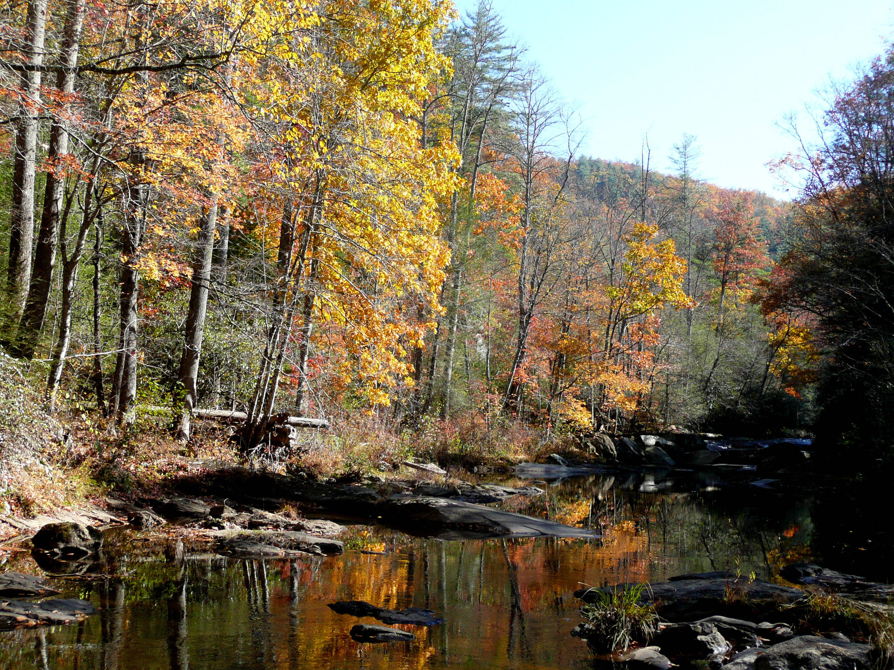
North Carolina fall landscape
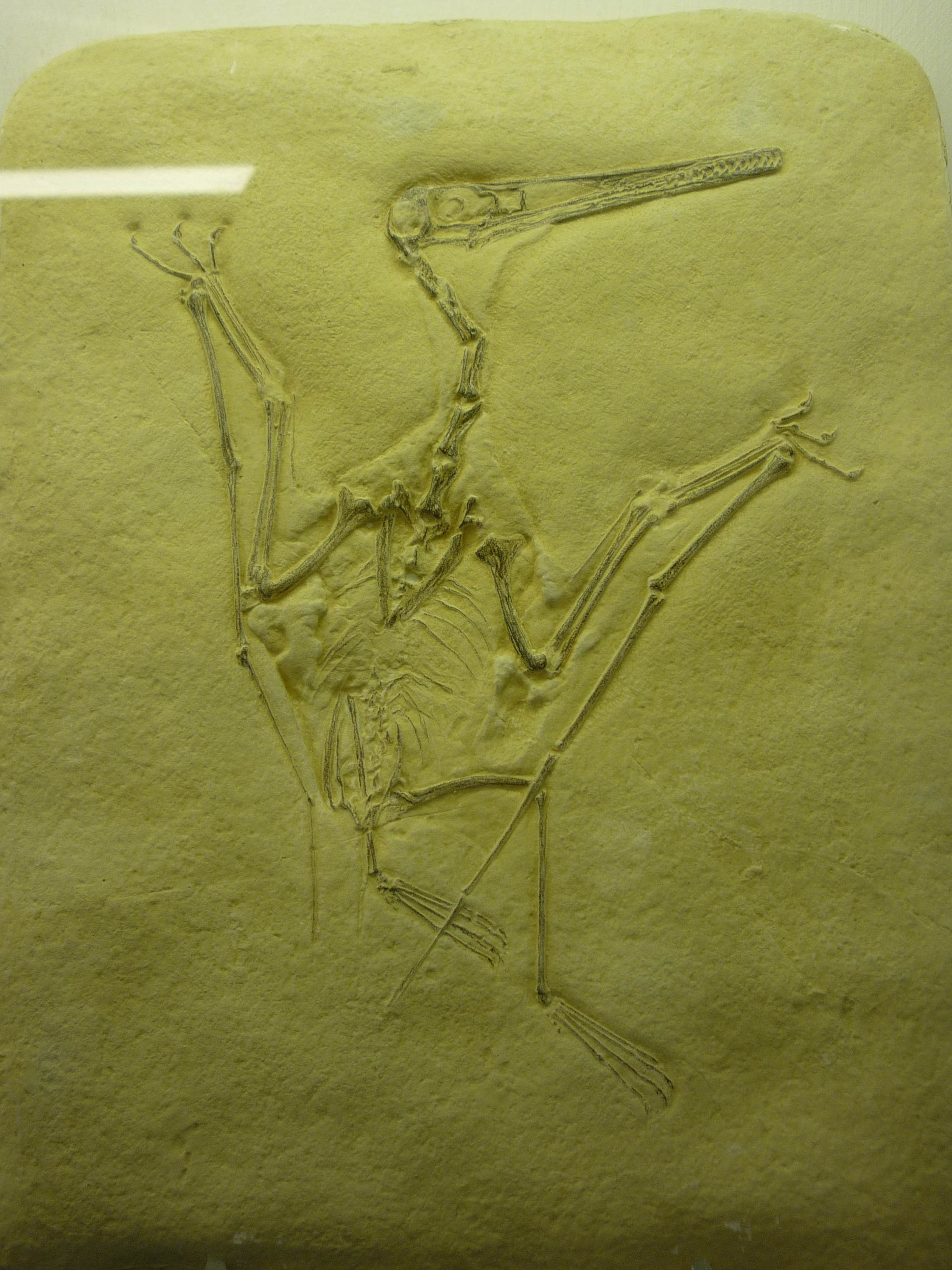
bird-like fossil
Topographic Map of Woodland Heights, Franklin, NC, USA
Find elevation by address:

Places near Woodland Heights, Franklin, NC, USA:
733 Woodland Heights
733 Woodland Heights
625 Woodland Heights
888 Woodland Heights
580 Woodland Heights
487 Woodland Heights
488 Woodland Heights
488 Woodland Heights
Whippoorwill Trail
618 Trimont Mountain Rd
228 Brooklynn Trail
509 Trimont Mountain Rd
Trimont Mountain Road
544 Flaming Azalea Rd
294 Trimont Mountain Rd
669 Lakeside Cir
564 Wildwood Acres Rd
16 Pinecrest Cir
263 Wildwood Acres Rd
82 Pinecrest Cir
Recent Searches:
- Elevation of Tenjo, Cundinamarca, Colombia
- Elevation of Côte-des-Neiges, Montreal, QC H4A 3J6, Canada
- Elevation of Bobcat Dr, Helena, MT, USA
- Elevation of Zu den Ihlowbergen, Althüttendorf, Germany
- Elevation of Badaber, Peshawar, Khyber Pakhtunkhwa, Pakistan
- Elevation of SE Heron Loop, Lincoln City, OR, USA
- Elevation of Slanický ostrov, 01 Námestovo, Slovakia
- Elevation of Spaceport America, Co Rd A, Truth or Consequences, NM, USA
- Elevation of Warwick, RI, USA
- Elevation of Fern Rd, Whitmore, CA, USA