Elevation of 82 Pinecrest Cir, Franklin, NC, USA
Location: United States > North Carolina > Macon County > Franklin > Franklin >
Longitude: -83.418142
Latitude: 35.1795452
Elevation: 691m / 2267feet
Barometric Pressure: 93KPa
Elevation Map:
Satellite Map:
Related Photos:

Nantahala Ranger House #3

Summer Mountain View

Observation Tower View

Tower Mountain View

Wayah Bald Mountain View
Wayah Bald View

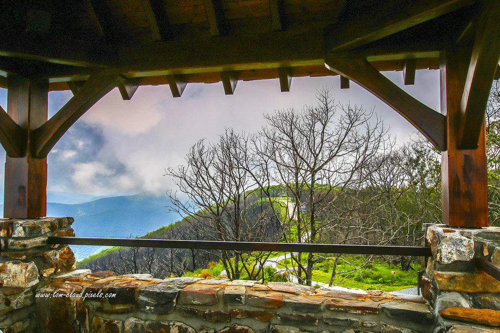
Cloudy Mountain View

Cullasaja Falls, NC

The new Wayah shelter
I must have said something funny

Swinging Lick gap

View of Whiterock Mountain

Hazy View

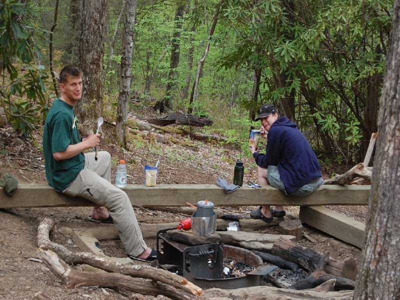
Good looking kid

Trail Intersection on Bartram Trail

More views
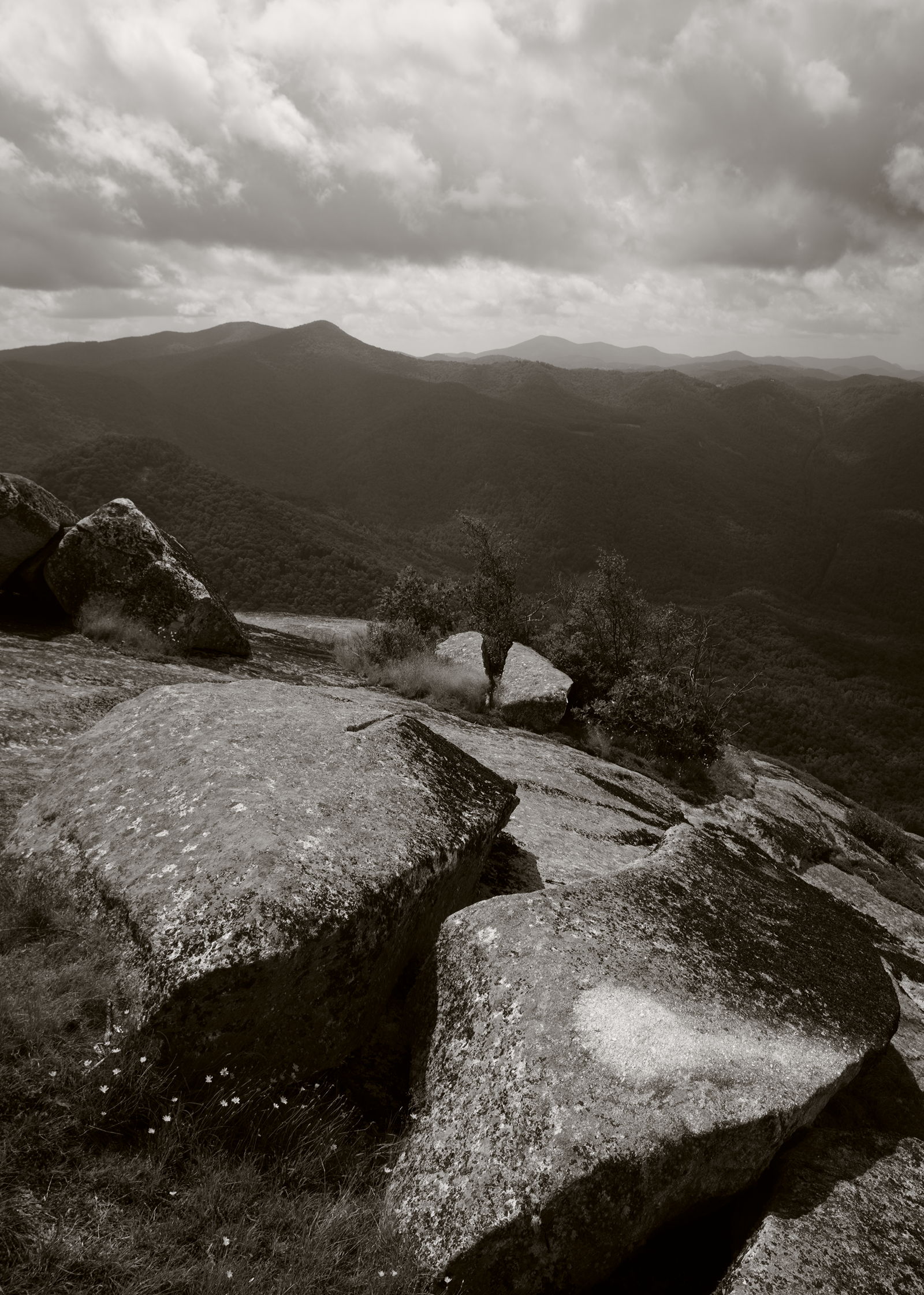
On the shoulder of a giant

Cullasaja Falls, Redux
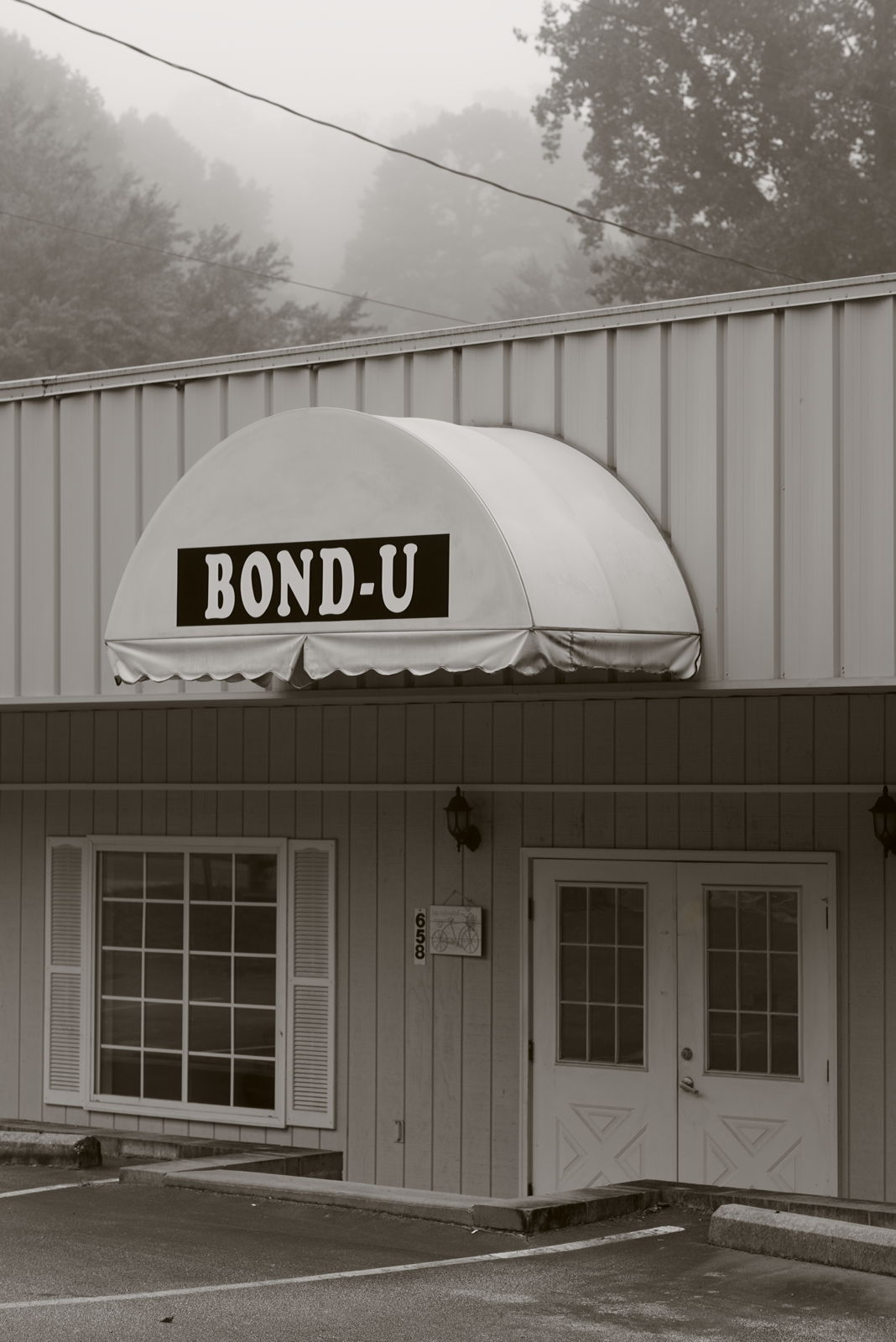
For when U need it

Peaceful View

Cullasaja Falls - Highlands, North Carolina.

Blue Ridge Mountains in Autumn. Hayesville, NC

Cullasaja morning, infrared

Nantahala Ranger Home #1

Wayah Bald Tower
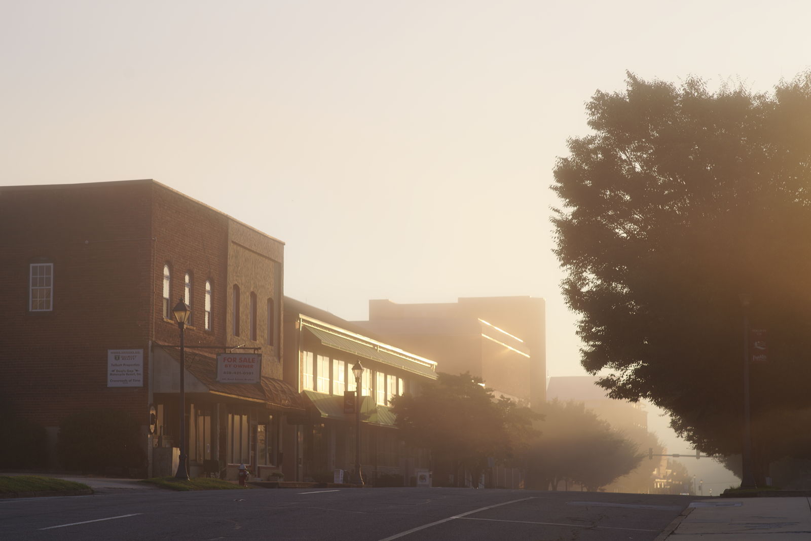
Morning on Main Street

Dark Tranquility

Cullasaja Falls, Cullasaja River Gorge, Nantahala National Forest, Macon County, North Carolina 4

Mountain waves

Town and country

North Carolina Highlands NC Autumn River Gorge
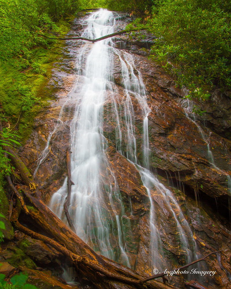
Rufus Morgan Falls

Rufus Morgan Trailhead-8430

Winding Stair Sunrise
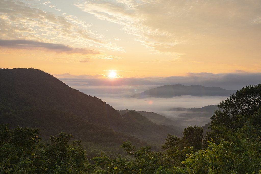
Winding Stair Sunrise
Topographic Map of 82 Pinecrest Cir, Franklin, NC, USA
Find elevation by address:

Places near 82 Pinecrest Cir, Franklin, NC, USA:
263 Wildwood Acres Rd
16 Pinecrest Cir
263 Wildwood Acres Rd
263 Wildwood Acres Rd
263 Wildwood Acres Rd
263 Wildwood Acres Rd
263 Wildwood Acres Rd
263 Wildwood Acres Rd
263 Wildwood Acres Rd
263 Wildwood Acres Rd
263 Wildwood Acres Rd
263 Wildwood Acres Rd
263 Wildwood Acres Rd
564 Wildwood Acres Rd
544 Flaming Azalea Rd
669 Lakeside Cir
618 Trimont Mountain Rd
311 Pressley Rd
888 Woodland Heights
580 Woodland Heights
Recent Searches:
- Elevation of Congressional Dr, Stevensville, MD, USA
- Elevation of Bellview Rd, McLean, VA, USA
- Elevation of Stage Island Rd, Chatham, MA, USA
- Elevation of Shibuya Scramble Crossing, 21 Udagawacho, Shibuya City, Tokyo -, Japan
- Elevation of Jadagoniai, Kaunas District Municipality, Lithuania
- Elevation of Pagonija rock, Kranto 7-oji g. 8"N, Kaunas, Lithuania
- Elevation of Co Rd 87, Jamestown, CO, USA
- Elevation of Tenjo, Cundinamarca, Colombia
- Elevation of Côte-des-Neiges, Montreal, QC H4A 3J6, Canada
- Elevation of Bobcat Dr, Helena, MT, USA