Elevation of Wildwood Acres Rd, Franklin, NC, USA
Location: United States > North Carolina > Macon County > Franklin > Franklin >
Longitude: -83.418761
Latitude: 35.1776551
Elevation: 674m / 2211feet
Barometric Pressure: 93KPa
Elevation Map:
Satellite Map:
Related Photos:

Fringed Phacelia

Fire Pink
Cullasaja Falls, Redux
82-140_View_from_Wayah_Bald_Nantahala_National_Forest_NC
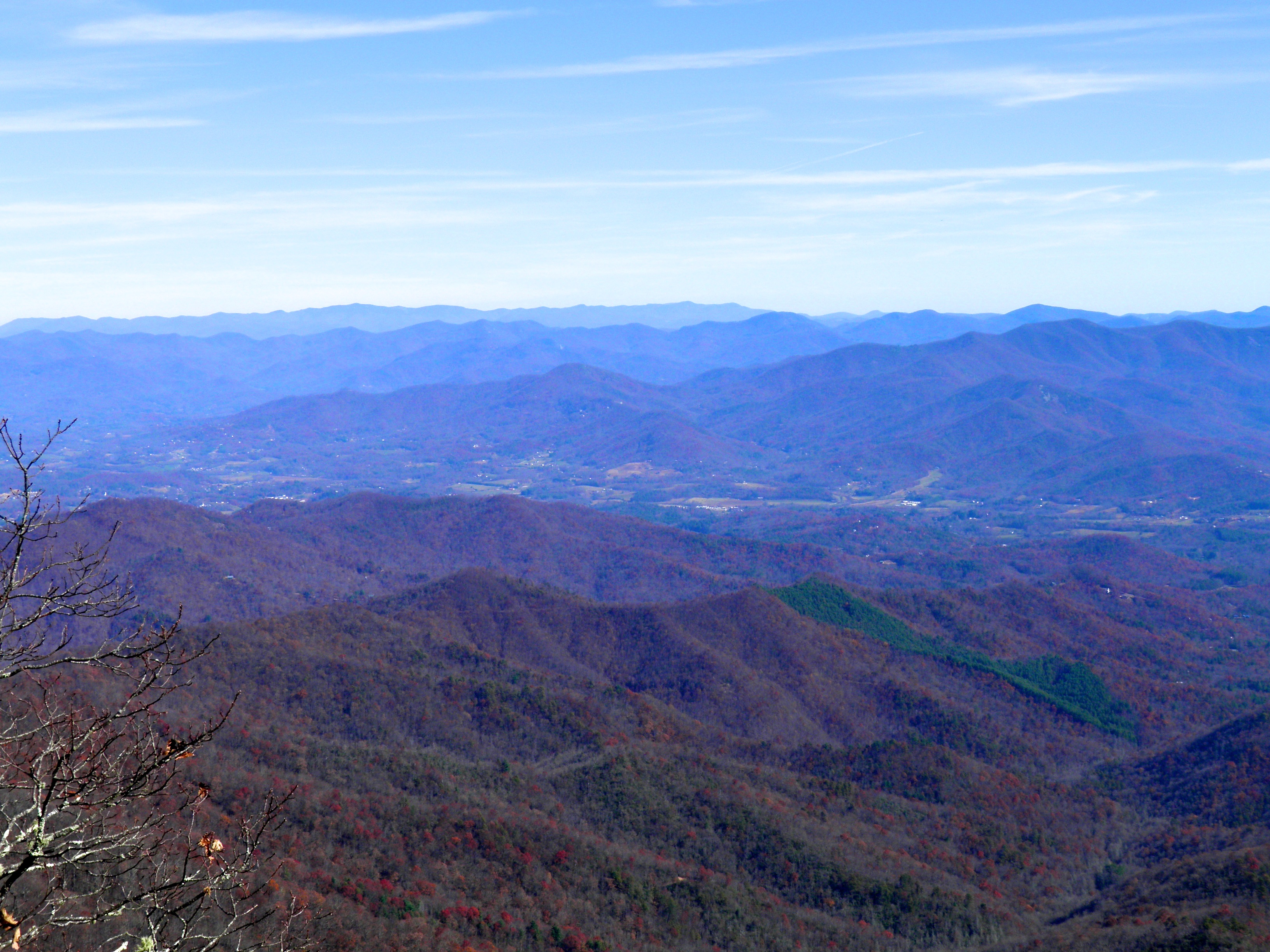
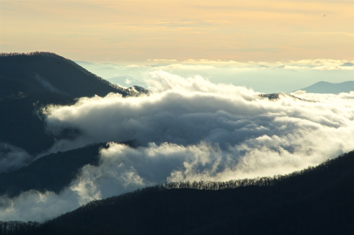
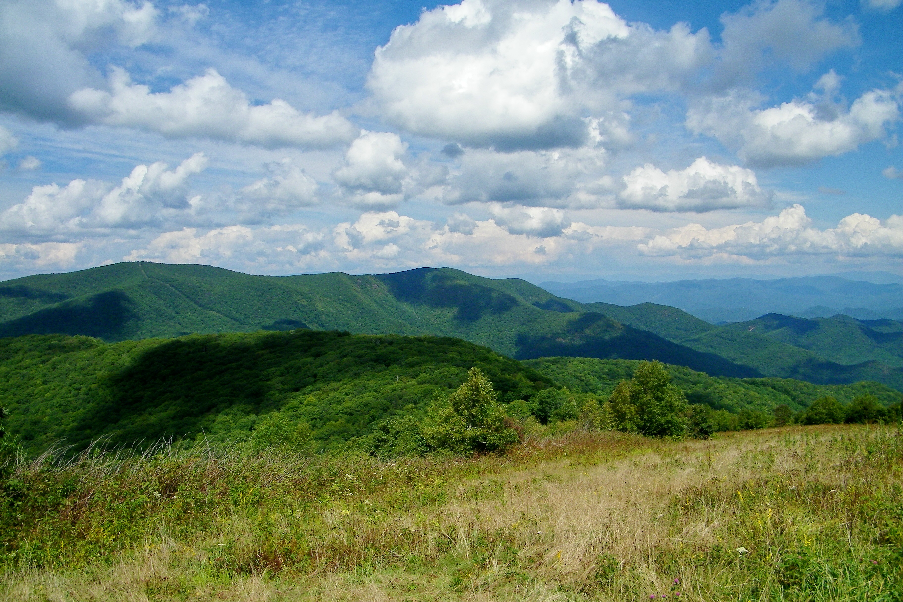
View from Silar Bald
Standing Indian22
Standing Indian24

View in the evening!

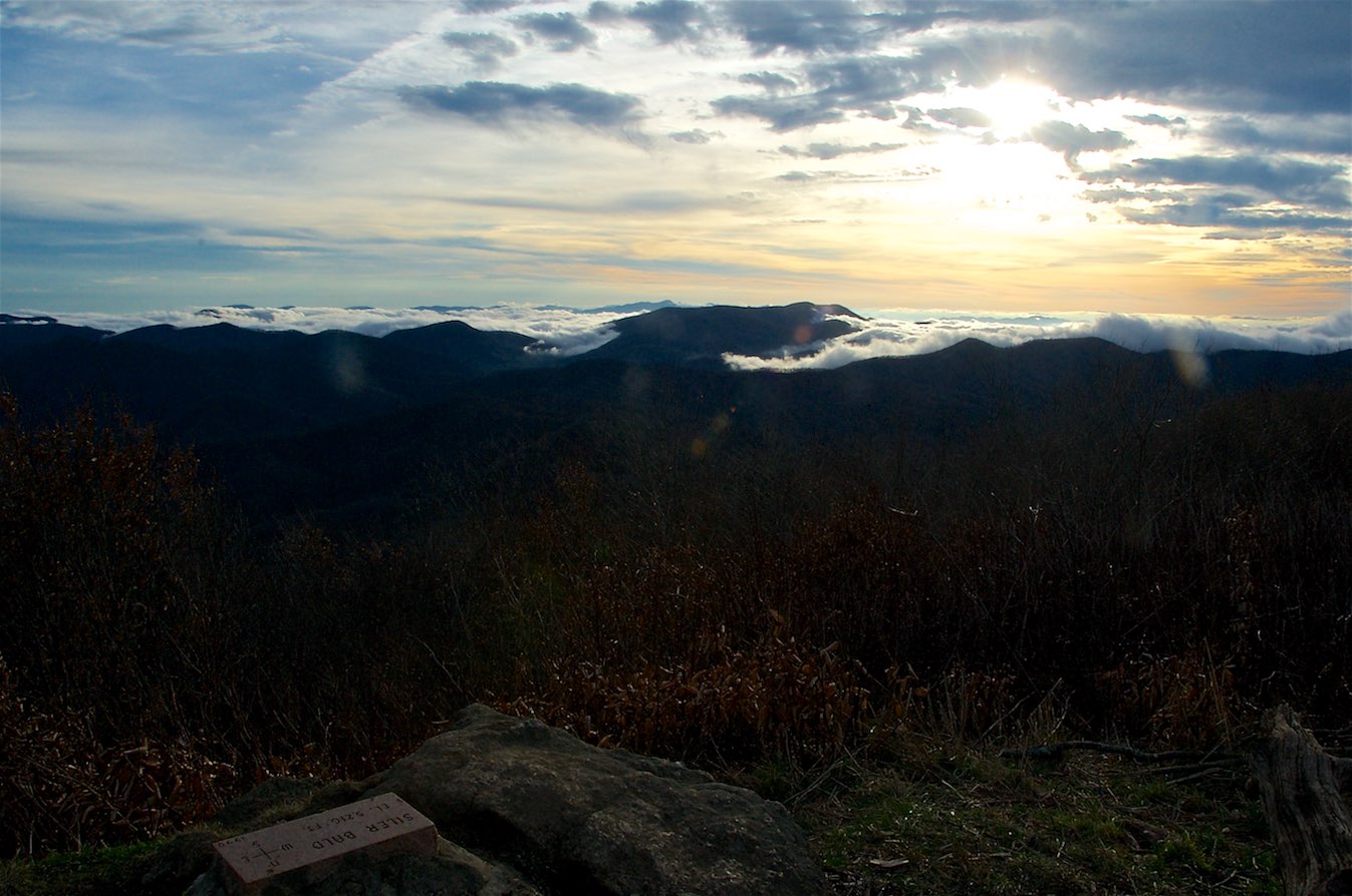
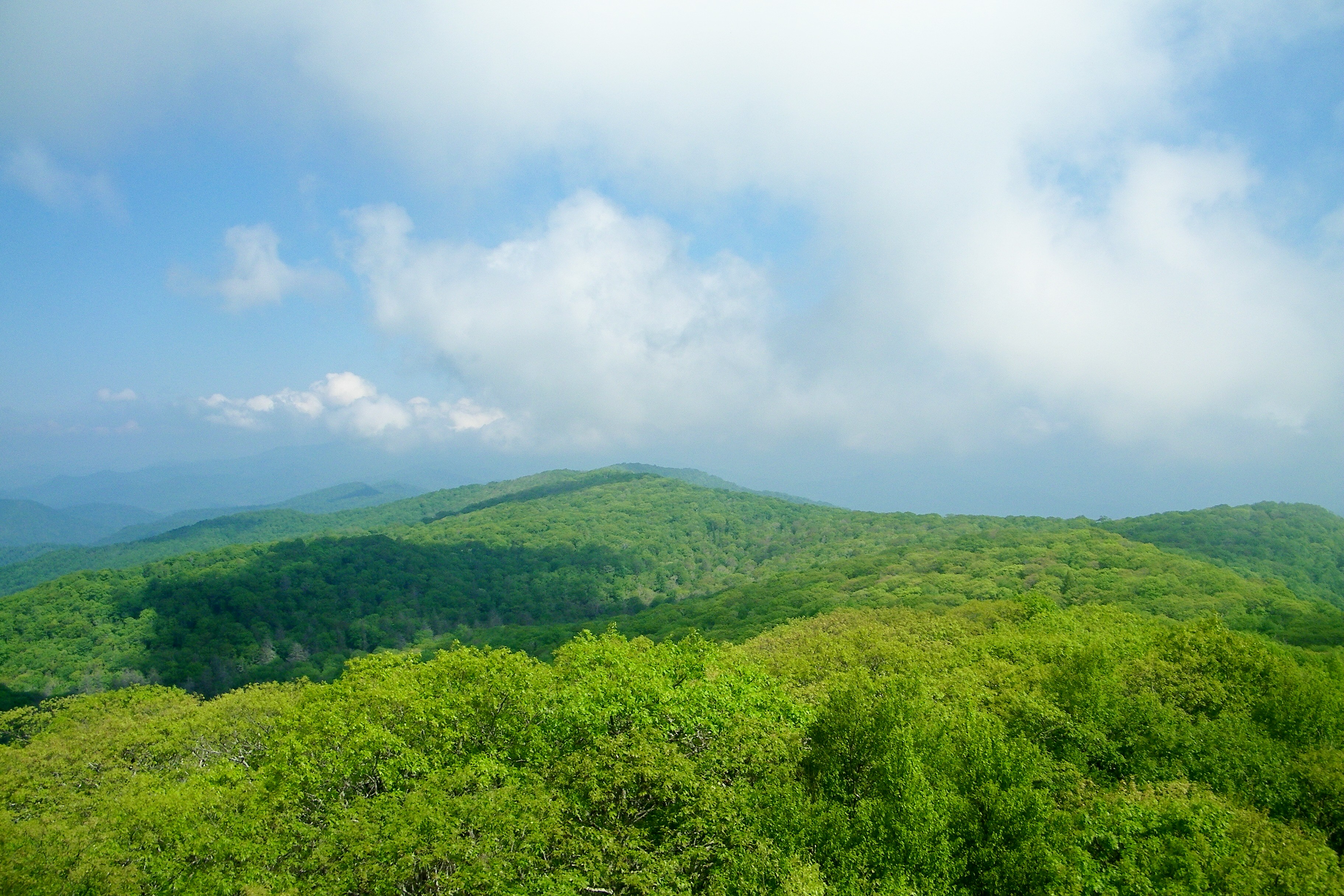
W4C/WM-024 - Siler Bald View
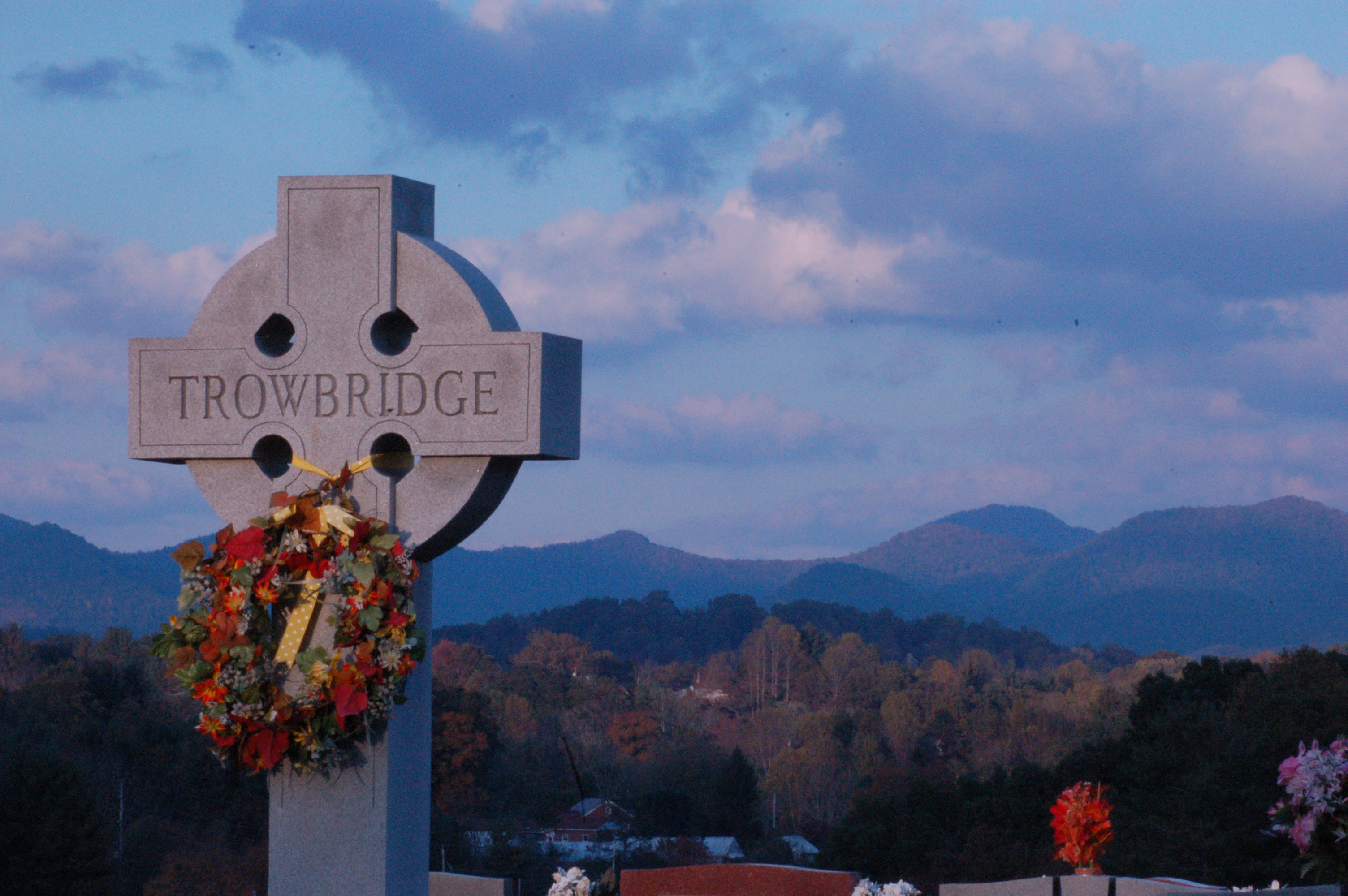
Cemetary View
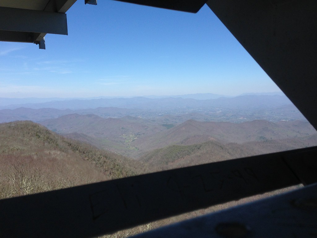
View from Wayah Bald Tower
Standing Indian23

Wayah Bald Fire Tower - Franklin, North Carolina (HDR)
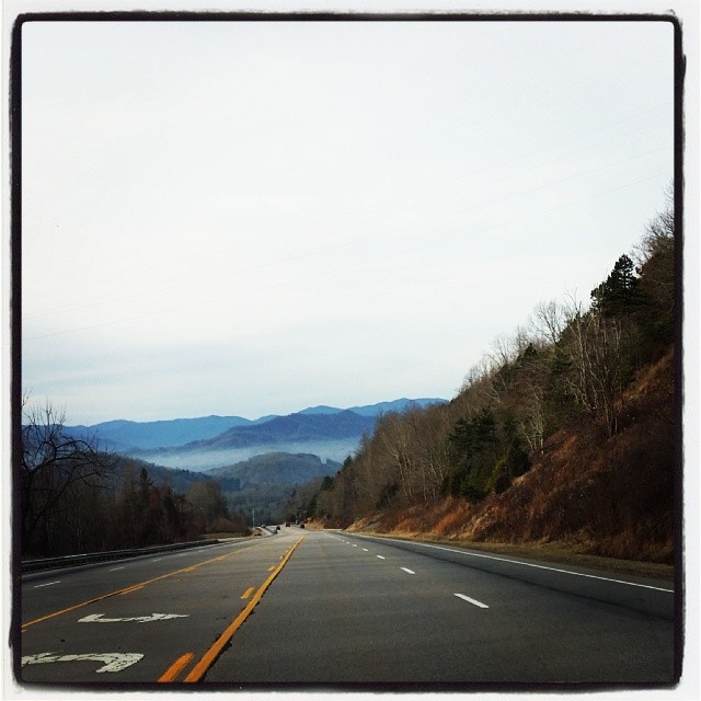
Driving thru the Smokey Mountains, what a view!
W4C/WM-024 - Siler Bald View
W4C/WM-024 - Siler Bald View
View from Albert Mountain
Silers Bald
img013_edited-1

Albert Mountain Fire Tower
Albert Mountain Fire Tower

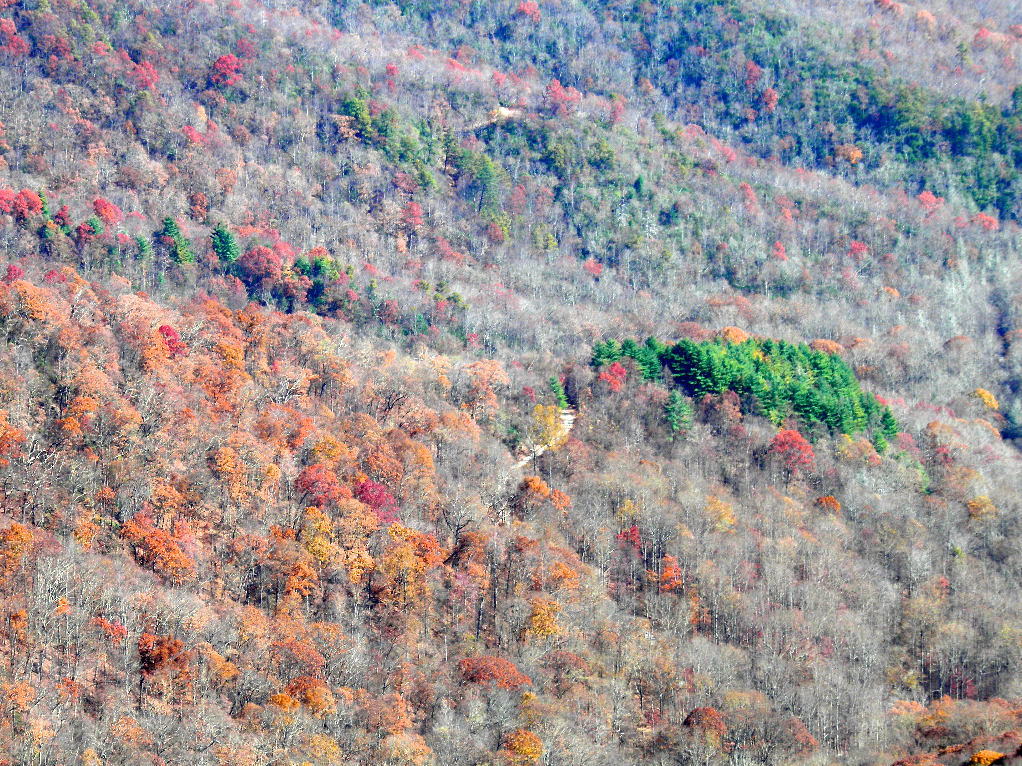
North Carolina Highlands NC Autumn River Gorge

Dark Tranquility
Cullasaja Falls, Cullasaja River Gorge, Nantahala National Forest, Macon County, North Carolina 4
Fields of Gold | Franklin, NC
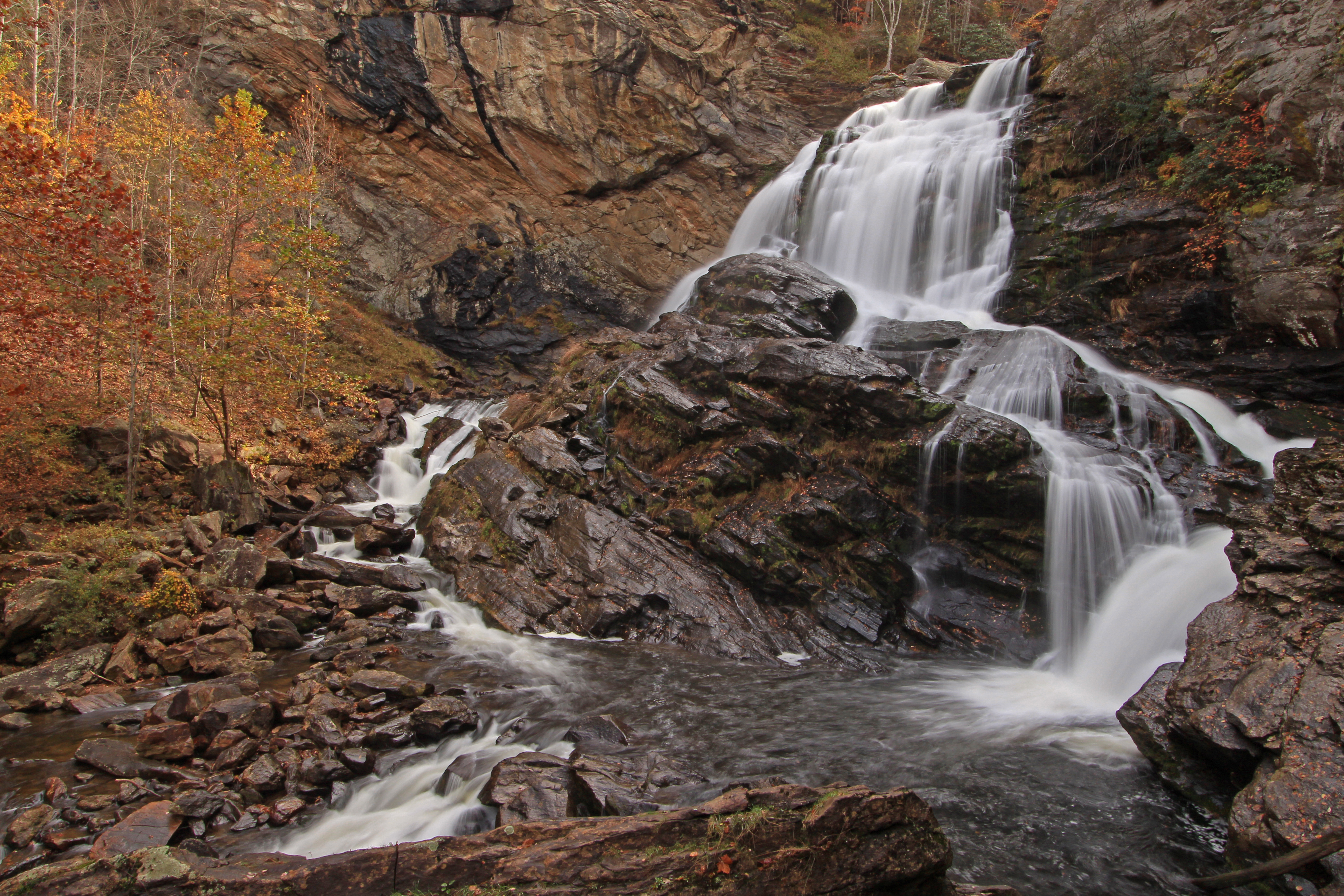
Cullasaja Falls, NC

Rufus Morgan Falls

Big Laurel Falls #franklin #standingindian #appalachia #blueridgecountry #welovenc #we_see_wnc #wilderness_culture #biglaurelfalls #diamondbrand_outdoors #cmc100challenge #stream #falls #explore #westernnorthcarolina #landofwaterfalls

Cullasaja Falls
Looking Glass Falls, Pisgah National Forest, NC
bird-like fossil
Interstate ice wall

Rufus Morgan Trailhead-8426
Interstate ice climbers

Quarry Falls

0697 Cullasaja Img_6027
church.JPG

Old Murphy Road: Macon County, North Carolina
Topographic Map of Wildwood Acres Rd, Franklin, NC, USA
Find elevation by address:

Places near Wildwood Acres Rd, Franklin, NC, USA:
263 Wildwood Acres Rd
263 Wildwood Acres Rd
263 Wildwood Acres Rd
263 Wildwood Acres Rd
263 Wildwood Acres Rd
263 Wildwood Acres Rd
263 Wildwood Acres Rd
263 Wildwood Acres Rd
263 Wildwood Acres Rd
263 Wildwood Acres Rd
82 Pinecrest Cir
263 Wildwood Acres Rd
16 Pinecrest Cir
564 Wildwood Acres Rd
544 Flaming Azalea Rd
311 Pressley Rd
669 Lakeside Cir
Ray Cove Road
105 Breezy Knob Rd
105 Breezy Knob Rd
Recent Searches:
- Elevation of East W.T. Harris Boulevard, E W.T. Harris Blvd, Charlotte, NC, USA
- Elevation of West Sugar Creek, Charlotte, NC, USA
- Elevation of Wayland, NY, USA
- Elevation of Steadfast Ct, Daphne, AL, USA
- Elevation of Lagasgasan, X+CQH, Tiaong, Quezon, Philippines
- Elevation of Rojo Ct, Atascadero, CA, USA
- Elevation of Flagstaff Drive, Flagstaff Dr, North Carolina, USA
- Elevation of Avery Ln, Lakeland, FL, USA
- Elevation of Woolwine, VA, USA
- Elevation of Lumagwas Diversified Farmers Multi-Purpose Cooperative, Lumagwas, Adtuyon, RV32+MH7, Pangantucan, Bukidnon, Philippines