Elevation of Woodford Halse, Daventry NN11, UK
Location: United Kingdom > England > Northamptonshire >
Longitude: -1.204683
Latitude: 52.169339
Elevation: 149m / 489feet
Barometric Pressure: 100KPa
Elevation Map:
Satellite Map:
Related Photos:

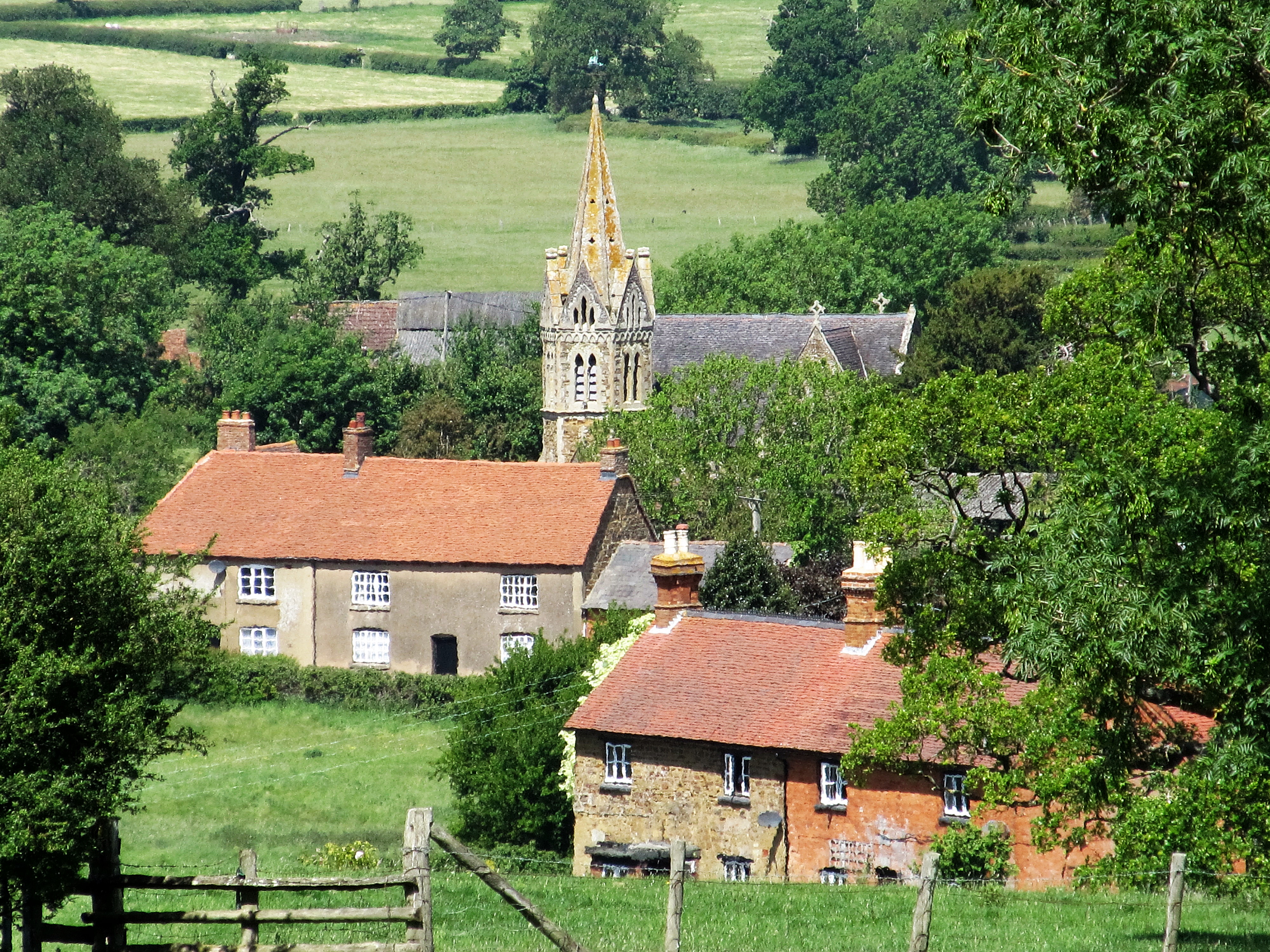
Is the view worth the climb? 500_0148.jpg

Grand view of the Grand Union

Upper Shuckburgh-Shuckburgh Hall

Norton Farmland
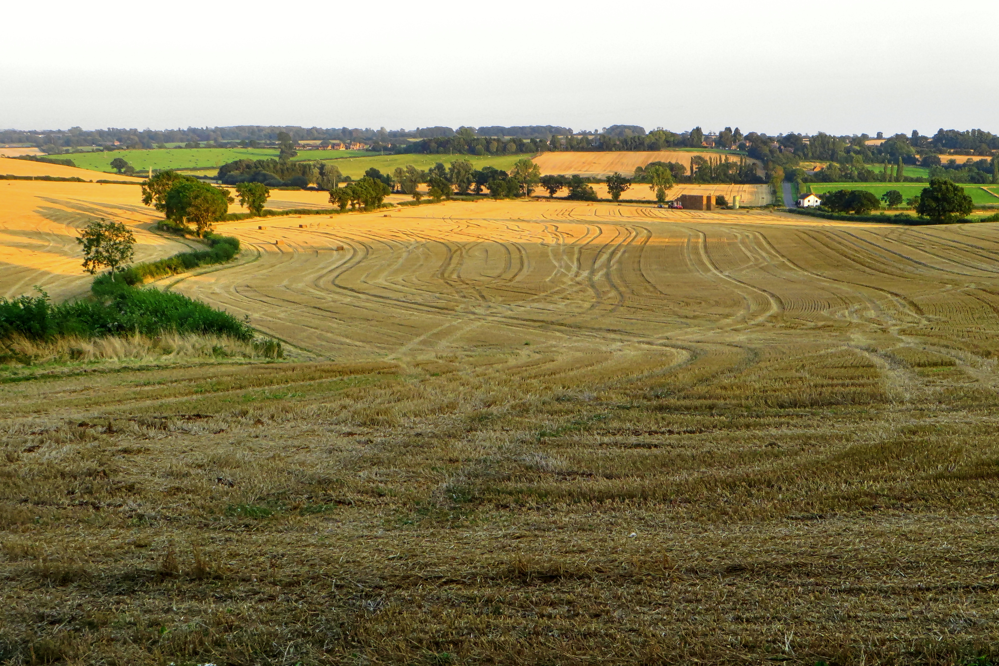
Finished Harvesting

Lower Shuckburgh

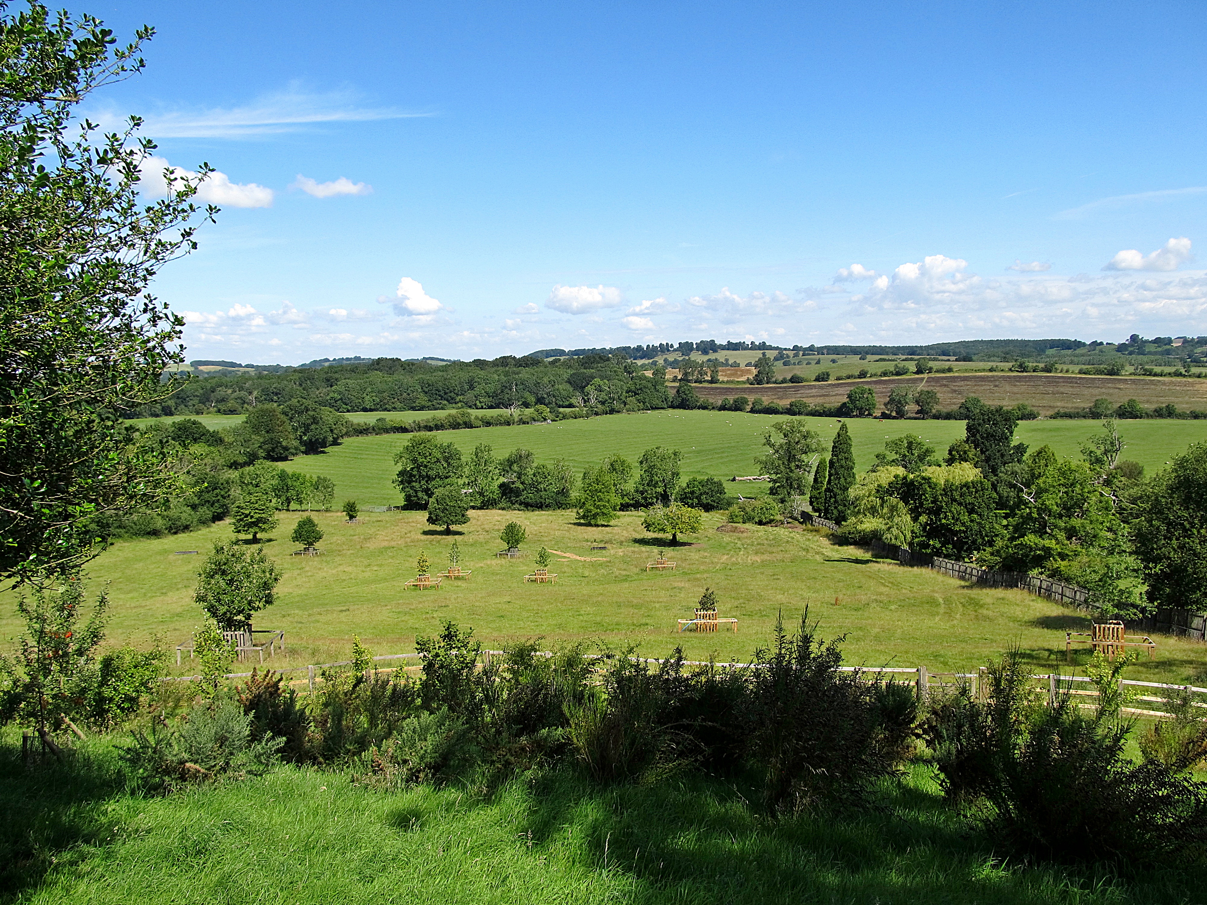
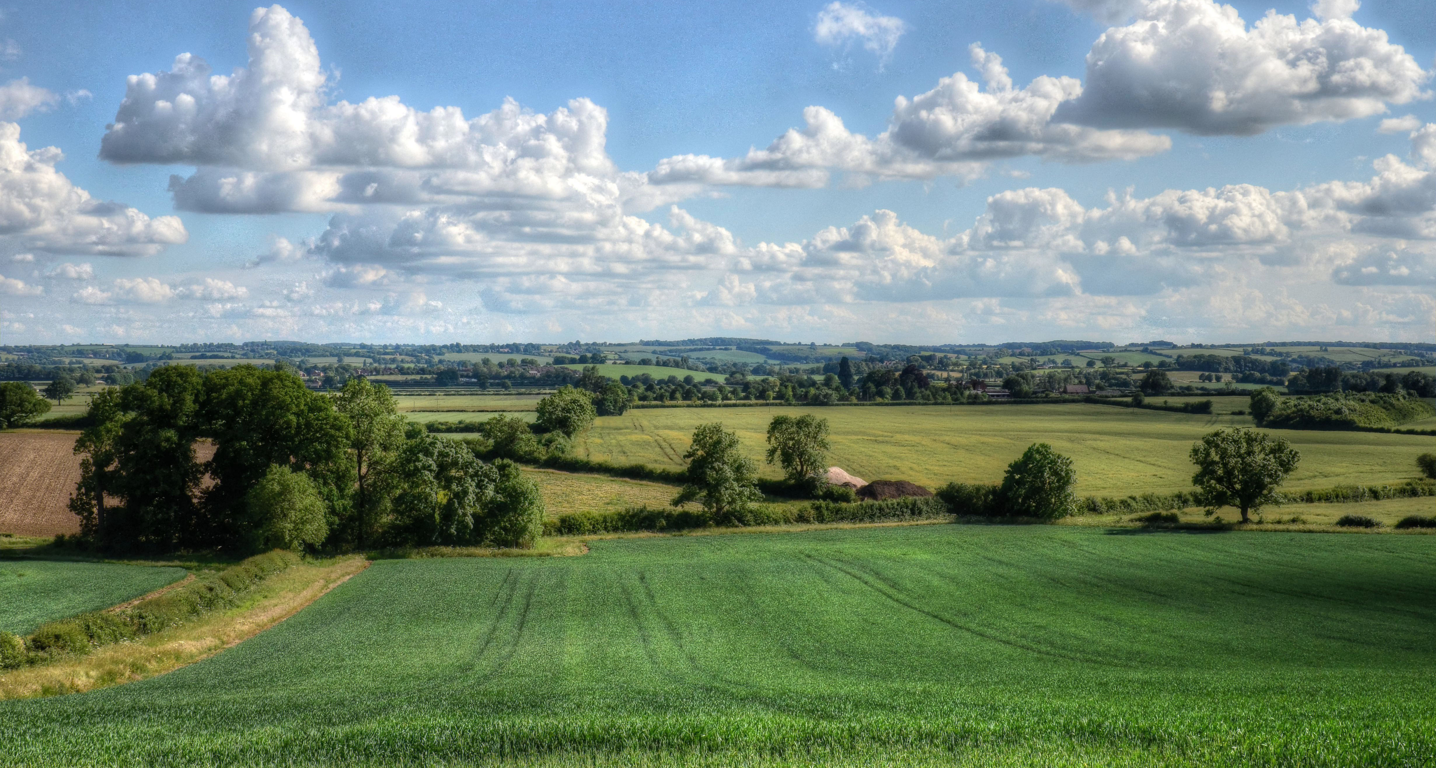
Northamptonshire Countryside

Braunston-View from Wolfhampcote

Burton Dassett Hills View

Little Dassett
Preston Capes-View to Fawsley

Ladbroke Church Spire

December days
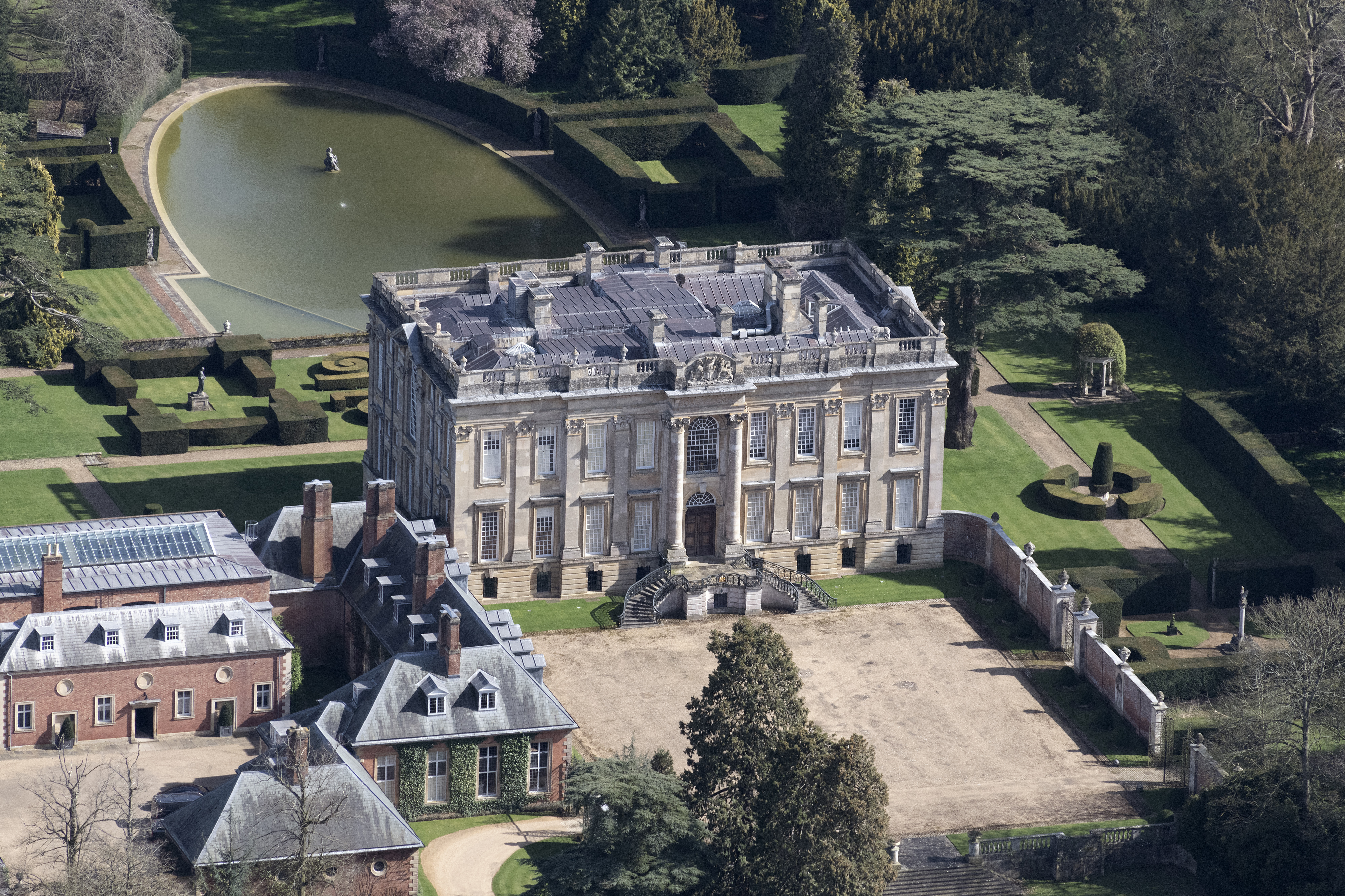
Easton Neston House aerial image
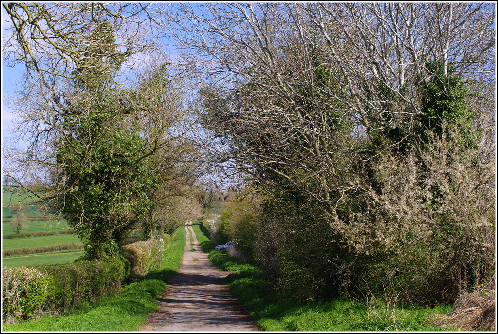
Northamptonshire Country Lane

Admiring the view 500_0734.jpg
Lower Shuckburgh

Mr. Blue Sky!

Canal Abstract **º

Flecknoe View to Rugby

Upper Shuckburgh-View to Hellidon

Dodford Double

The Cloud's Are Moving In
Church Stowe
Northamptonshire countryside near Flore

Do you think she can see us?

Caswell Farm

road to the tower

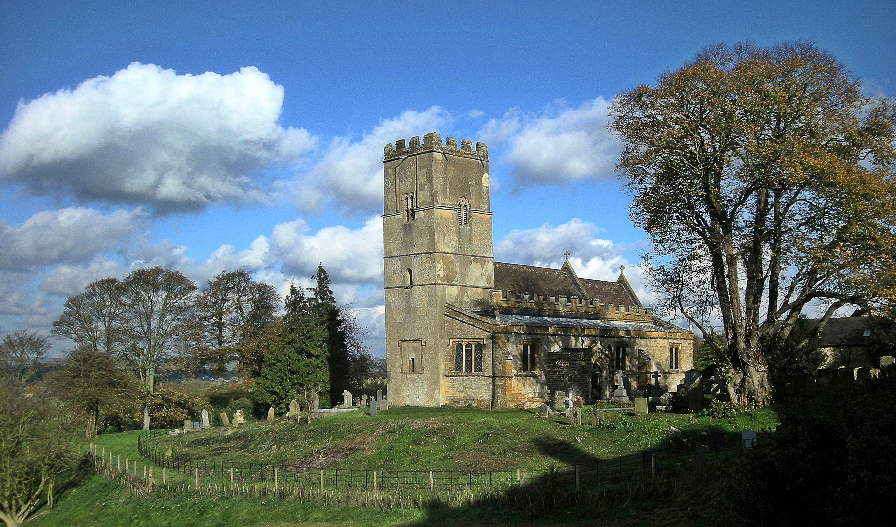
Badby Church

Morning Sky's (Explored)

Burton Dasset Country Park 5th August 2017

Fawsley autumn 3

Harpole, Northamptonshire.

.

Northamptonshire Bluebells

Lower Shuckburgh-Grand Union Canal

Enchanting or Entrapment.............please view on black

Panoramic View from Napton-on-the-Hill

Everdon Churchyard
Topographic Map of Woodford Halse, Daventry NN11, UK
Find elevation by address:

Places near Woodford Halse, Daventry NN11, UK:
Culworth
Chipping Warden
2 Upper Prescote, Cropredy, Banbury OX17 1PF, UK
Aneca Management Services Ltd
Cropredy
Litchborough
Wormleighton
Nn13 6jg
9 Ten Cottages, Wormleighton, Southam CV47 2XN, UK
Nn13 6qq
Ox16 2se
Ox16 2pa
Ox16 1rh
Banbury
16 Boxhedge Rd W
Fenny Compton
Carpenters
Ox16 9un
Warmington
Green Close
Recent Searches:
- Elevation of Congressional Dr, Stevensville, MD, USA
- Elevation of Bellview Rd, McLean, VA, USA
- Elevation of Stage Island Rd, Chatham, MA, USA
- Elevation of Shibuya Scramble Crossing, 21 Udagawacho, Shibuya City, Tokyo -, Japan
- Elevation of Jadagoniai, Kaunas District Municipality, Lithuania
- Elevation of Pagonija rock, Kranto 7-oji g. 8"N, Kaunas, Lithuania
- Elevation of Co Rd 87, Jamestown, CO, USA
- Elevation of Tenjo, Cundinamarca, Colombia
- Elevation of Côte-des-Neiges, Montreal, QC H4A 3J6, Canada
- Elevation of Bobcat Dr, Helena, MT, USA