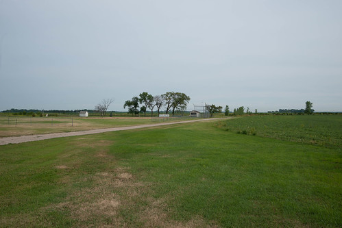
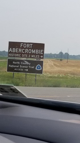
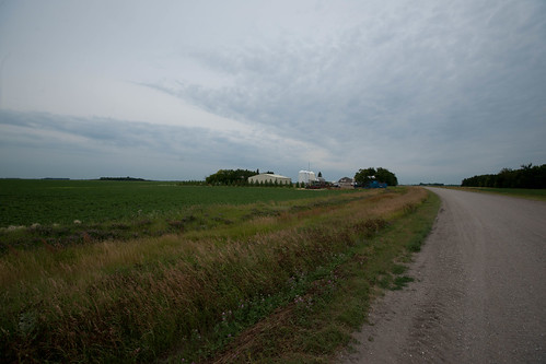
Elevation of Wolverton, MN, USA
Location: United States > Minnesota > Wilkin County > Wolverton Township >
Longitude: -96.733690
Latitude: 46.5632949
Elevation: 283m / 928feet
Barometric Pressure: 98KPa
Related Photos:
Topographic Map of Wolverton, MN, USA
Find elevation by address:

Places near Wolverton, MN, USA:
Wolverton Township
Comstock
th Ave S, Comstock, MN, USA
Holy Cross Township
Main St, Kent, MN, USA
4th Ave SE, Barnesville, MN, USA
12884 Us-75
Dakota St S, Colfax, ND, USA
Colfax
Pleasant
5021 171st Ave Se
5150 170th Ave Se
Kurtz Township
Nordick Township
12004 57th St S
1st Street South
Stanley
3010 88th Ave S
7309 S University Dr #20th
Q6h3+9m
Recent Searches:
- Elevation of Chesaw Rd, Oroville, WA, USA
- Elevation of N, Mt Pleasant, UT, USA
- Elevation of 6 Rue Jules Ferry, Beausoleil, France
- Elevation of Sattva Horizon, 4JC6+G9P, Vinayak Nagar, Kattigenahalli, Bengaluru, Karnataka, India
- Elevation of Great Brook Sports, Gold Star Hwy, Groton, CT, USA
- Elevation of 10 Mountain Laurels Dr, Nashua, NH, USA
- Elevation of 16 Gilboa Ln, Nashua, NH, USA
- Elevation of Laurel Rd, Townsend, TN, USA
- Elevation of 3 Nestling Wood Dr, Long Valley, NJ, USA
- Elevation of Ilungu, Tanzania


