Elevation of Stanley, ND, USA
Location: United States > North Dakota > Cass County >
Longitude: -96.835156
Latitude: 46.7571744
Elevation: 276m / 906feet
Barometric Pressure: 98KPa
Elevation Map:
Satellite Map:
Related Photos:

Prairie Dog

Heart of the City
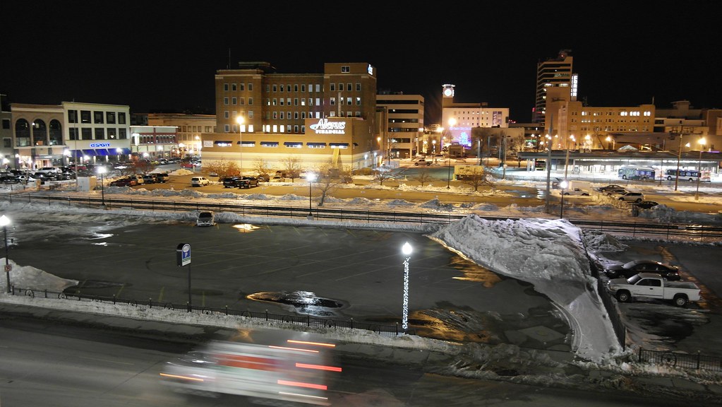
From Above

Southwest View

calm winters day at the library

Then and now

Down the Line
20130429-NRCS-LSC-0367
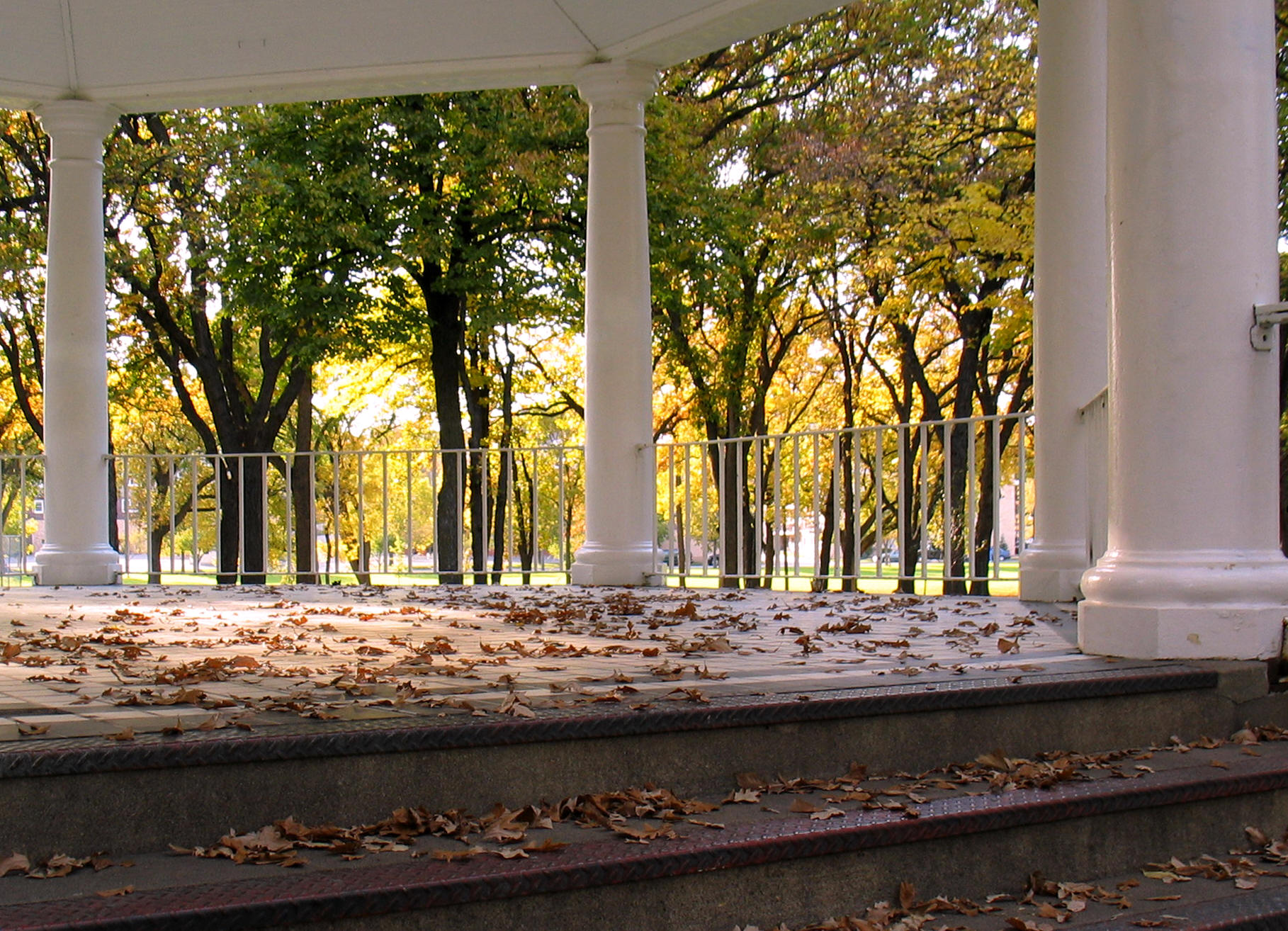
Island Park gazebo, autumn (Fargo, North Dakota)
20130429-NRCS-LSC-0343

20130429-NRCS-LSC-0354
20130429-NRCS-LSC-0345
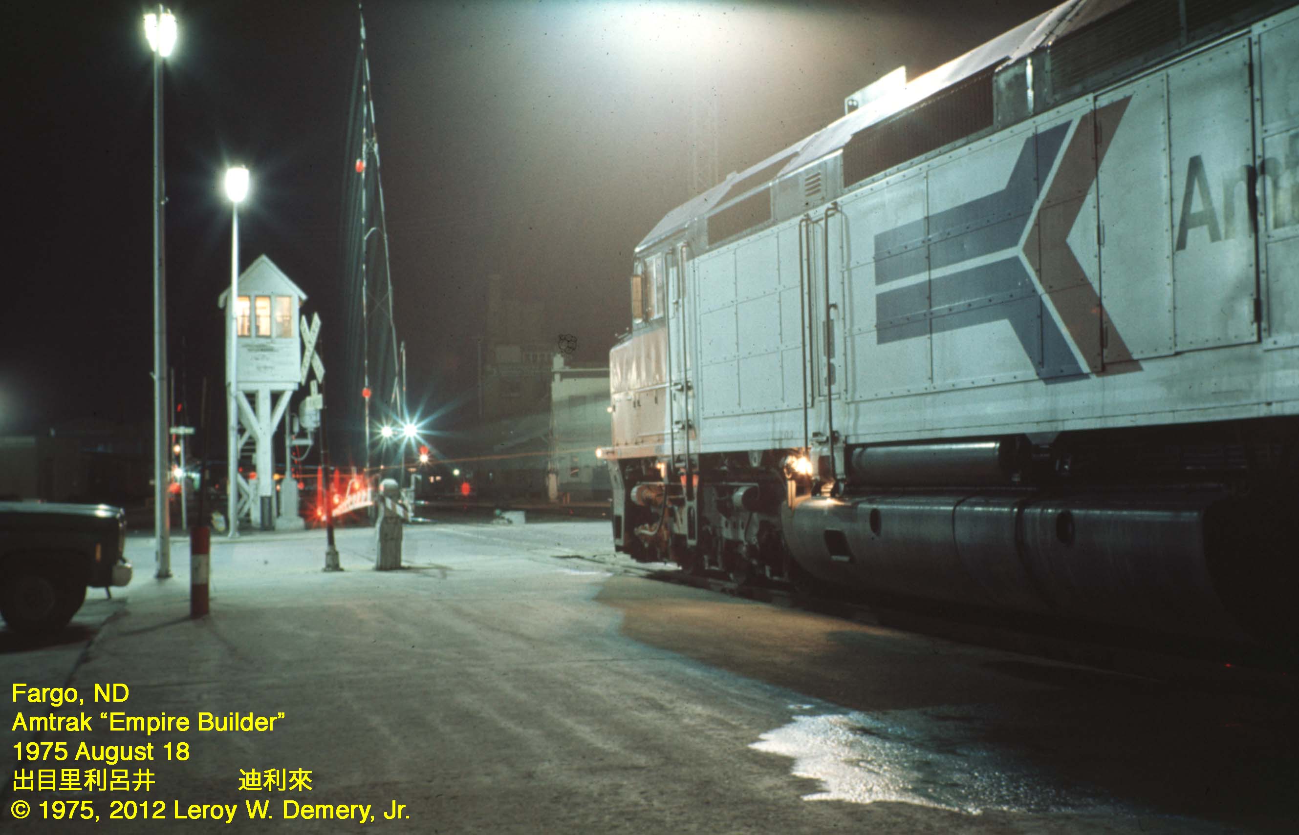
Westbound "Empire Builder" - 2, Fargo, ND, 1975

365-050

365-086
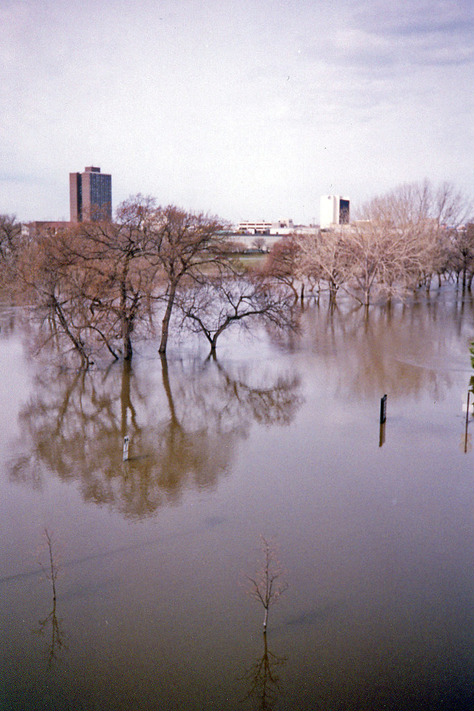
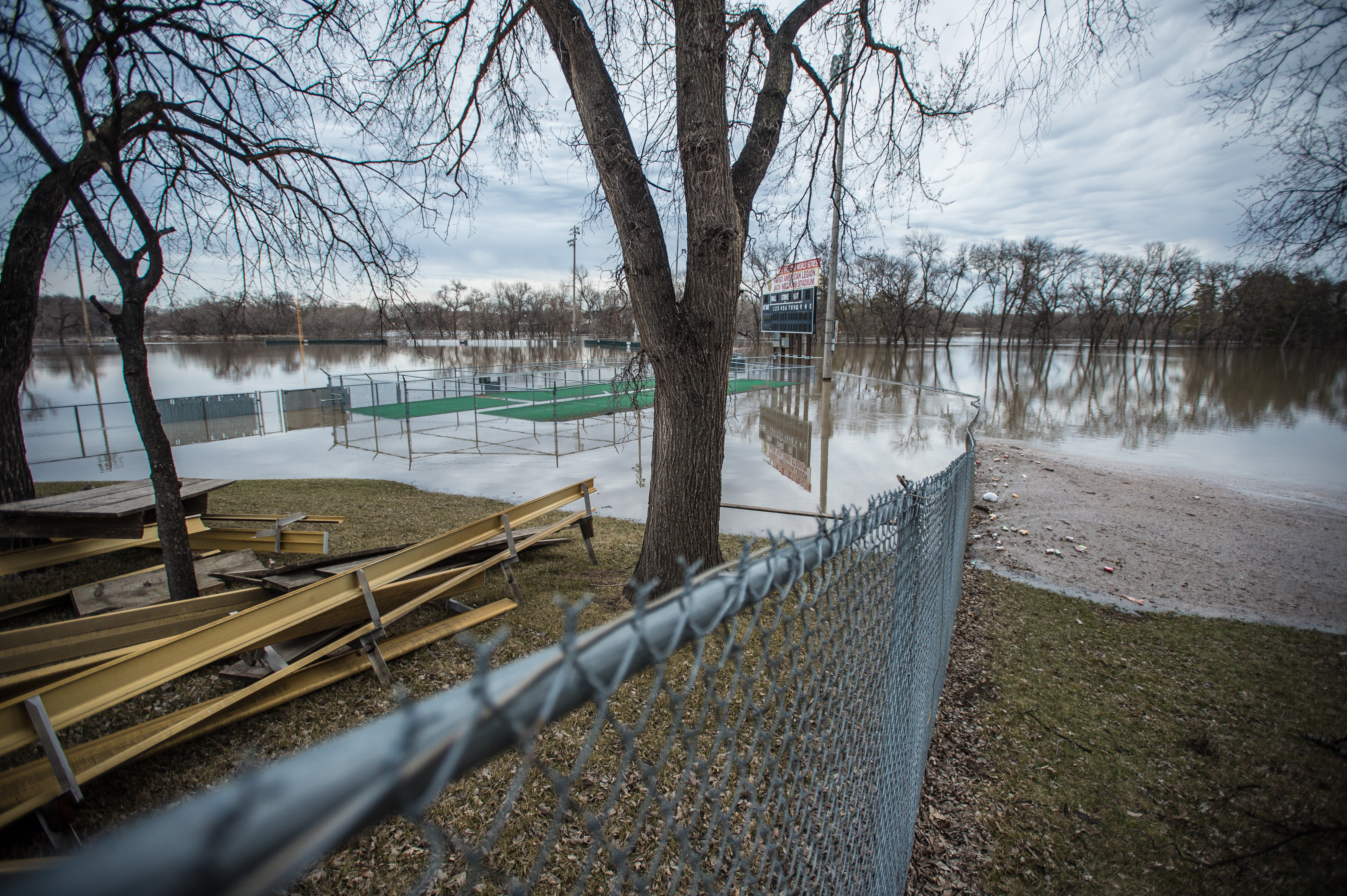
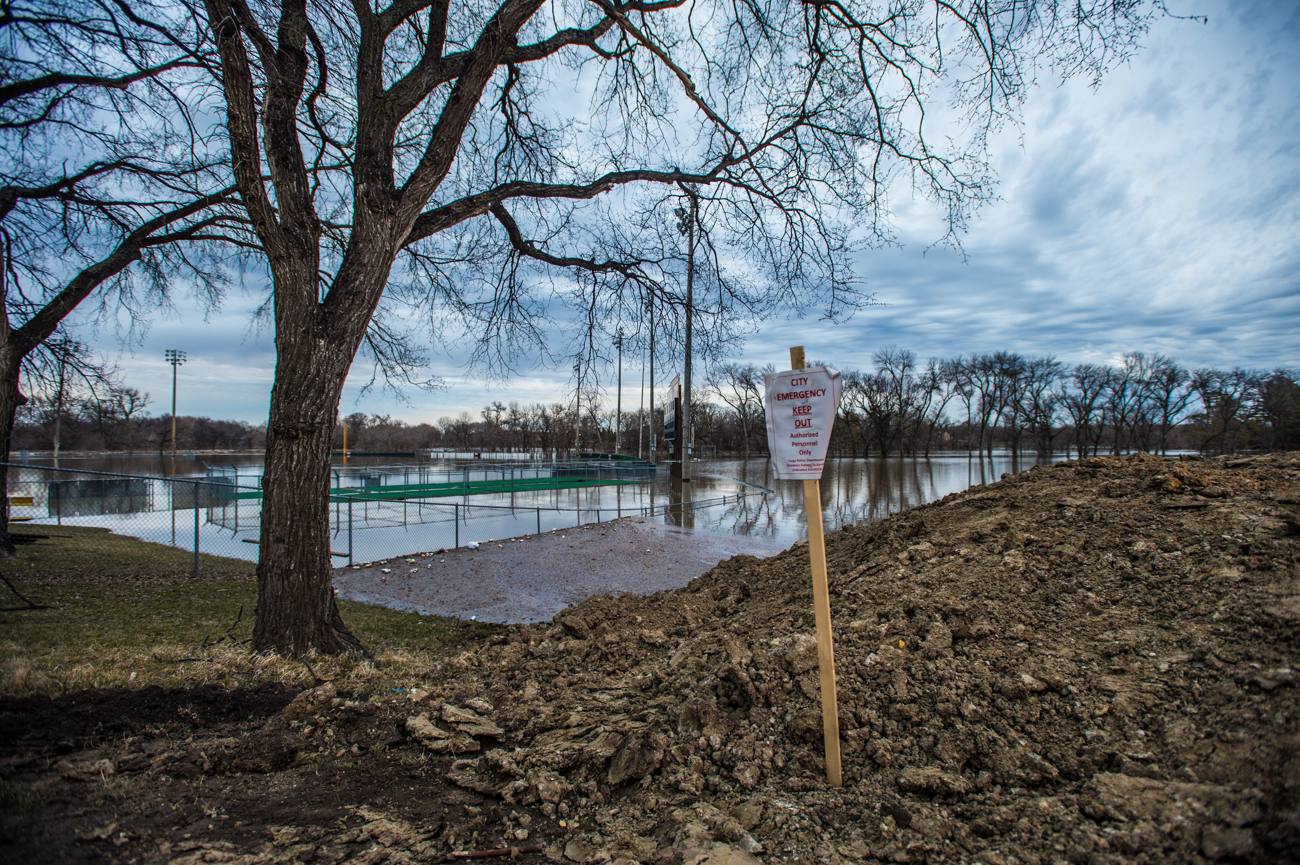
Red River Flood, April 1997 (4)
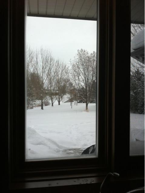
The view out of the kitchen window.

View from above
Fargo flood panorama, April 3, 2006
Main Ave

Back Yard View 3/24 1227

Lindenwood rays
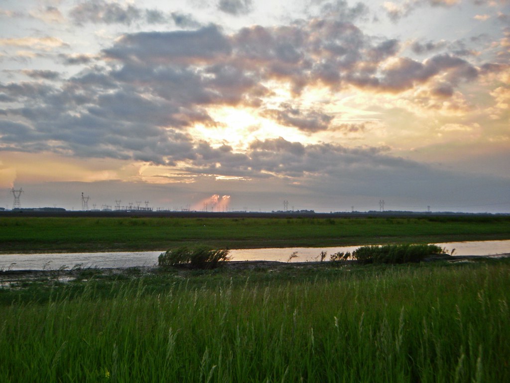
Fog on the Red
A North Fargo Winter - Taken from the building site of the "new dorm" later titled "Living Learning Center"
It's complicated
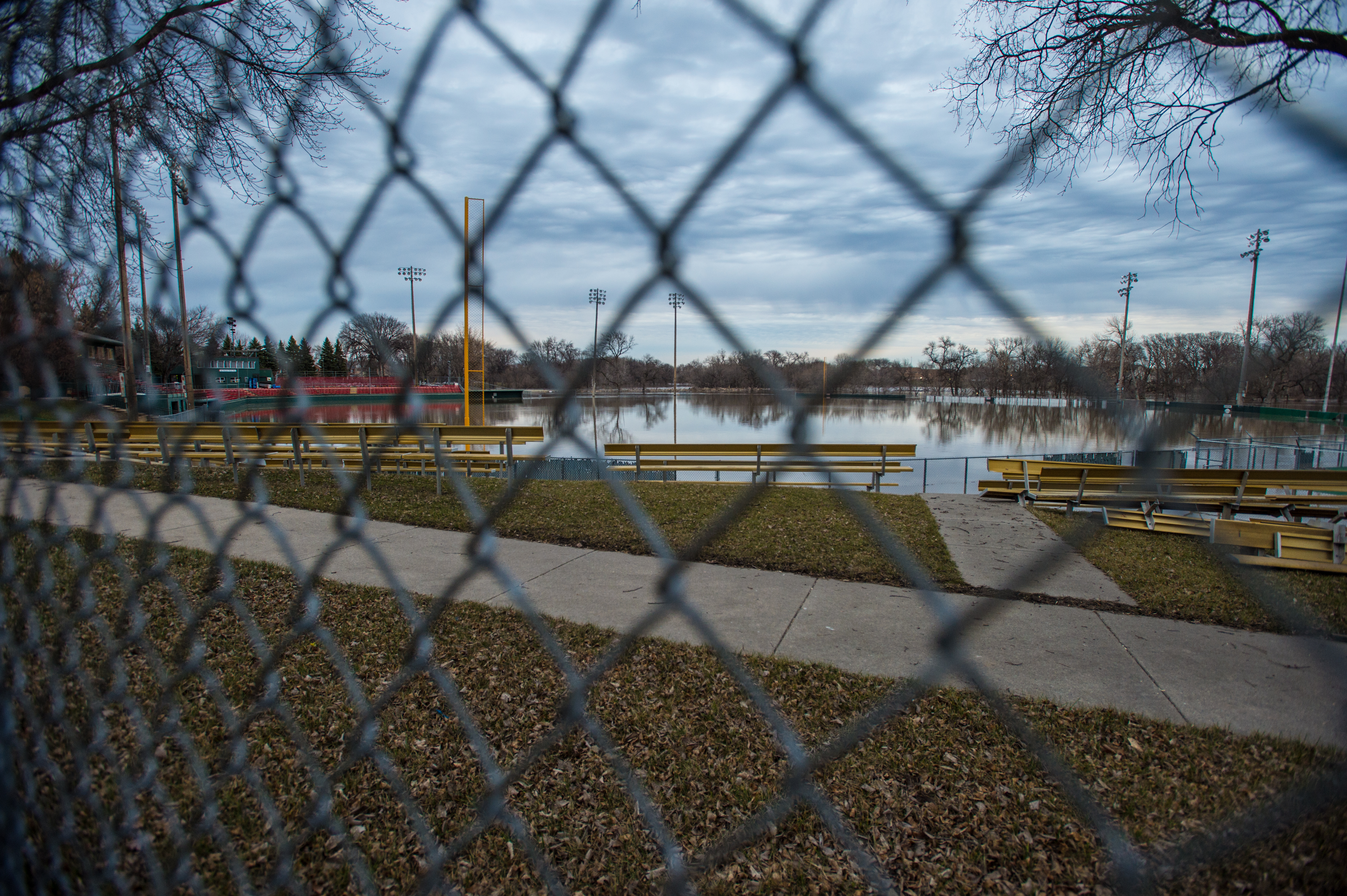
#flooding
lindenwood park small
Iron Spirits exhibit
13-IMG_6553
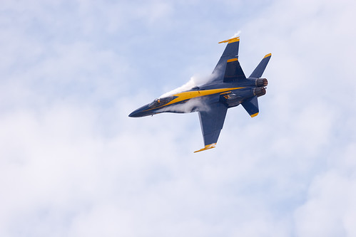
Strake Vortices
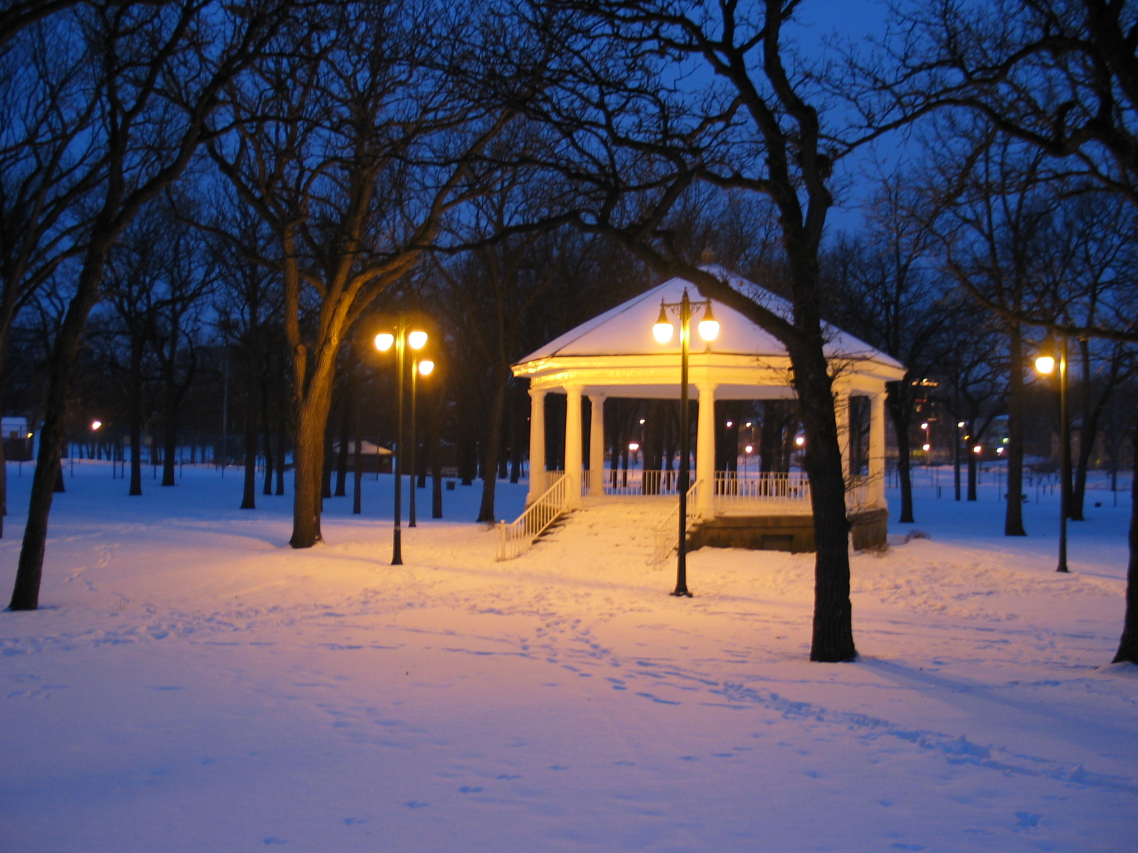
Island Park Gazebo, winter (Fargo, North Dakota)

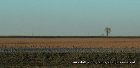
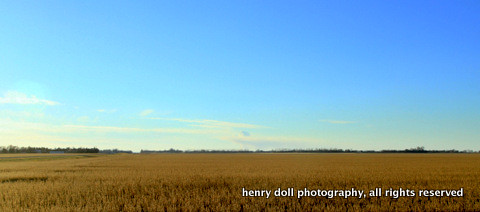
Fargo Countryside
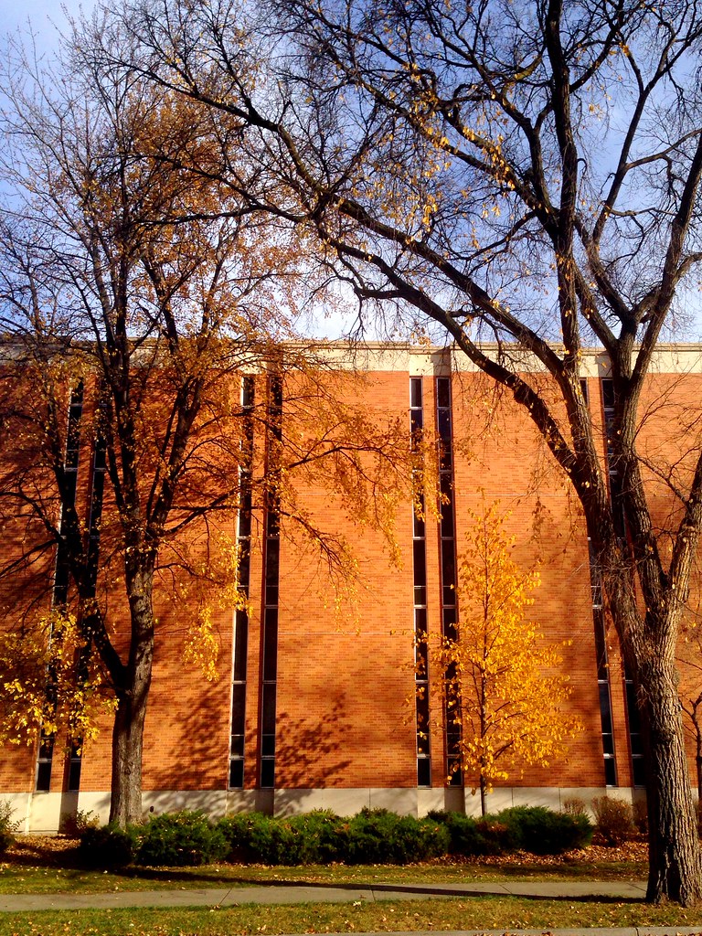
Remnants of fall on campus
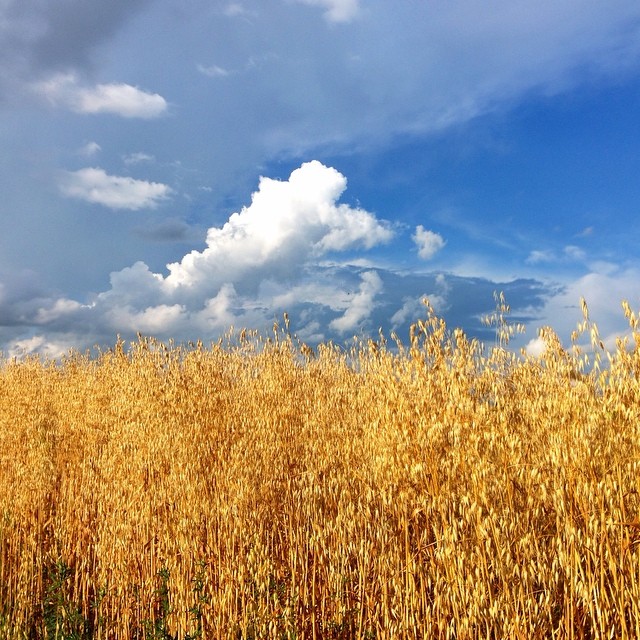
#fargo #nd #wheat #hdr #aesthetestudios #instagood #igdaily #iphone #iphone5 #iphoneonly #tweegram #photooftheday #iphonesia #instamood #igers #picoftheday #instagramhub #instadaily #bestoftheday #follow #instahub #followme #photo #webstagram
01-IMG_6398

00 file0592
West Fargo Sunset, June II
'Sown'
Doubling the Dike 10
05-IMG_6434
Topographic Map of Stanley, ND, USA
Find elevation by address:

Places in Stanley, ND, USA:
Places near Stanley, ND, USA:
3010 88th Ave S
45th St S & 88th Ave S
7390 20th St S
Claire Drive South
1st Street South
1801 70th Ave S
7309 S University Dr #20th
7314 Chrisan Blvd
Bennett
Q6h3+9m
5020 Prosperity Way S
Riverview Place
5300 12th St S
Centennial
3536 43rd Ave S
3124 Timberline Cir
12004 57th St S
Stone Bridges
Horace
10310 72nd St S
Recent Searches:
- Elevation of Elwyn Dr, Roanoke Rapids, NC, USA
- Elevation of Congressional Dr, Stevensville, MD, USA
- Elevation of Bellview Rd, McLean, VA, USA
- Elevation of Stage Island Rd, Chatham, MA, USA
- Elevation of Shibuya Scramble Crossing, 21 Udagawacho, Shibuya City, Tokyo -, Japan
- Elevation of Jadagoniai, Kaunas District Municipality, Lithuania
- Elevation of Pagonija rock, Kranto 7-oji g. 8"N, Kaunas, Lithuania
- Elevation of Co Rd 87, Jamestown, CO, USA
- Elevation of Tenjo, Cundinamarca, Colombia
- Elevation of Côte-des-Neiges, Montreal, QC H4A 3J6, Canada