Elevation of Wolf Bridge Road, Wolf Bridge Rd, Tennessee, USA
Location: United States > Tennessee > Bledsoe County > Graysville >
Longitude: -85.261617
Latitude: 35.3893864
Elevation: 593m / 1946feet
Barometric Pressure: 94KPa
Elevation Map:
Satellite Map:
Related Photos:

Sequatchie County, TN Courthouse - Dunlap, TN

Looking Behind

Sequatchie Valley Overlook #3

Sequatchie Valley Panorama

@xpectopatronum on the hang gliding ramp. #babe #model #portrait #tennessee #view #sequatchievalley

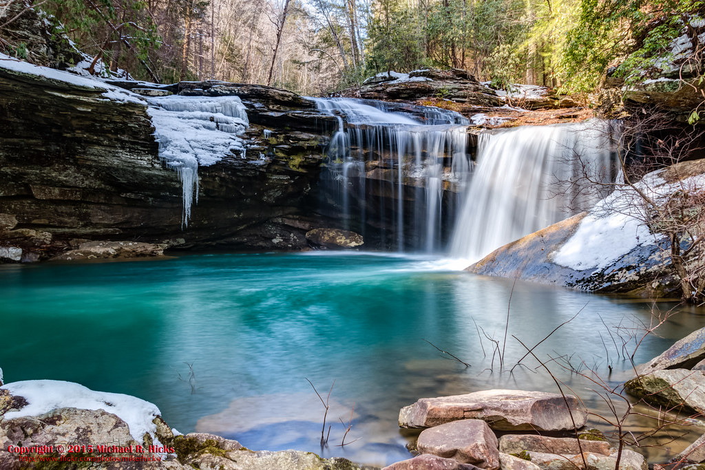
Sequatchie Valley
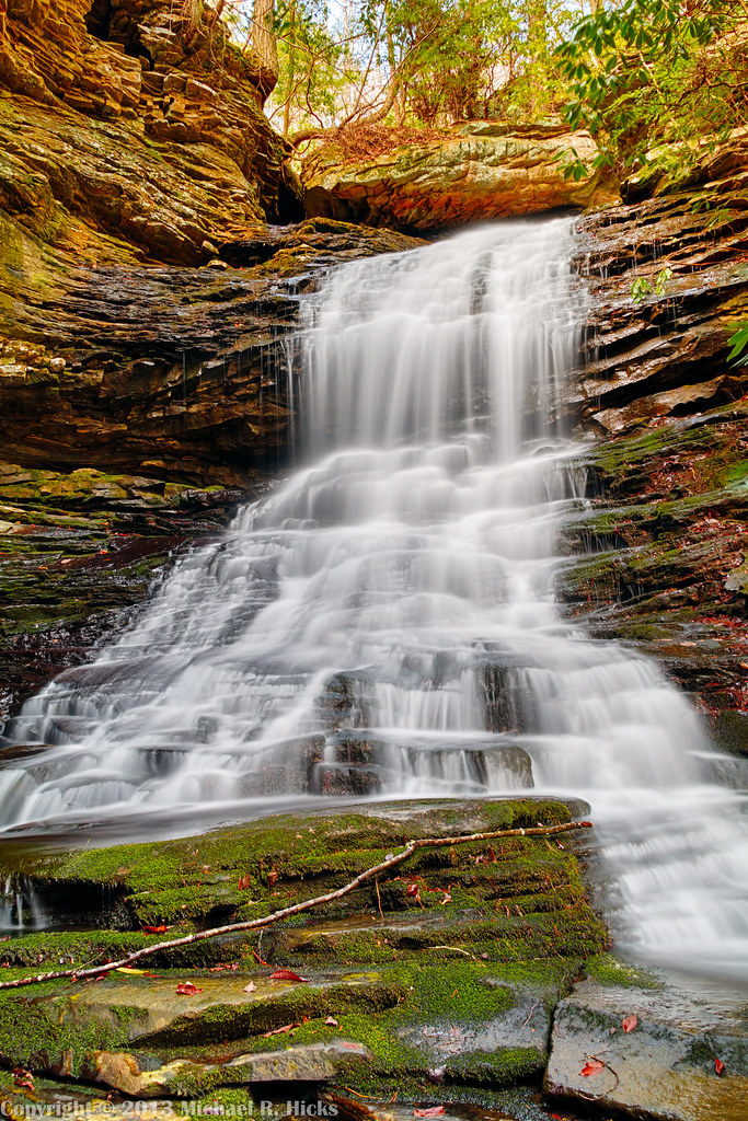
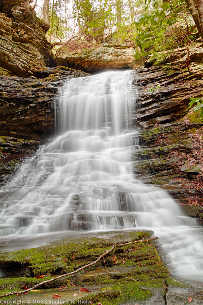
Imodium Falls (Little Possum Creek Falls) - Possum Creek Gorge Section of the Cumberland Trail

Imodium Falls (Little Possum Creek Falls) - Possum Creek Gorge Section of the Cumberland Trail

Imodium Falls (Little Possum Creek Falls) - Possum Creek Gorge Section of the Cumberland Trail

North Chickamauga Trail Segment of the Cumberland Trail

Imodium Falls (Little Possum Creek Falls) - Possum Creek Gorge Section of the Cumberland Trail

Imodium Falls (Little Possum Creek Falls) - Possum Creek Gorge Section of the Cumberland Trail

Sun burst on the mountain

Sunoic Explosion

Little Possum Creek Falls [25'] {Imodium Falls}

Skies a blazing
Soddy Creek, Cumberland Trail State Park, Hamilton County, Tennessee 1

North Chickamauga Trail Segment of the Cumberland Trail - February 16, 2013

Imodium Falls (Little Possum Creek Falls) - Possum Creek Gorge Section of the Cumberland Trail

Little Possum Creek Bridge - Possum Creek Gorge Section of the Cumberland Trail
Cooper Creek Falls - North Chickamauga Trail Segment of the Cumberland Trail - February 16, 2013

At Imodium Falls - Possum Creek Gorge Section of the Cumberland Trail

Cooper Creek Falls - North Chickamauga Trail Segment of the Cumberland Trail - February 16, 2013

North Chickamauga Trail Segment of the Cumberland Trail

_DSC0340-Edit
Cooper Creek Falls - North Chickamauga Trail Segment of the Cumberland Trail - February 16, 2013

North Chickamauga Trail Segment of the Cumberland Trail
Topographic Map of Wolf Bridge Road, Wolf Bridge Rd, Tennessee, USA
Find elevation by address:

Places near Wolf Bridge Road, Wolf Bridge Rd, Tennessee, USA:
432 Eagle Nest Rd
1545 State Hwy 304
2119 Lewis Chapel Rd
279 Little Falls Rd
Lewis Chapel Road
Lewis Chapel Road
118 Graham Cemetery Rd
200 Picnic Rd
E Valley Rd, Dunlap, TN, USA
4227 Henson Gap Rd
4227 Henson Gap Rd
678 Ray Hixson Rd
12727 Jones Gap Rd
Chapman Road
Old York Hwy, Dunlap, TN, USA
Hendon Rd, Graysville, TN, USA
12484 Jones Gap Rd
Branch Road
Branch Road
657 Old State Hwy 8
Recent Searches:
- Elevation of Elwyn Dr, Roanoke Rapids, NC, USA
- Elevation of Congressional Dr, Stevensville, MD, USA
- Elevation of Bellview Rd, McLean, VA, USA
- Elevation of Stage Island Rd, Chatham, MA, USA
- Elevation of Shibuya Scramble Crossing, 21 Udagawacho, Shibuya City, Tokyo -, Japan
- Elevation of Jadagoniai, Kaunas District Municipality, Lithuania
- Elevation of Pagonija rock, Kranto 7-oji g. 8"N, Kaunas, Lithuania
- Elevation of Co Rd 87, Jamestown, CO, USA
- Elevation of Tenjo, Cundinamarca, Colombia
- Elevation of Côte-des-Neiges, Montreal, QC H4A 3J6, Canada