Elevation of Lewis Chapel Road, Lewis Chapel Rd, Graysville, TN, USA
Location: United States > Tennessee > Bledsoe County > Graysville >
Longitude: -85.286214
Latitude: 35.36206
Elevation: 574m / 1883feet
Barometric Pressure: 95KPa
Elevation Map:
Satellite Map:
Related Photos:

Looking Behind

Sequatchie County, TN Courthouse - Dunlap, TN

Sometimes you get the best views once the leaves have fallen ???????? #chatt #chattanooga #noog #nooga #noogagram #nashvilleexplorersclub #mountains #moretoexplore #letscamp #livelocallytn #onlytennisee #outside #outdoors #instagramtennes

Sequatchie Valley Overlook #3

Sequatchie Valley Panorama

grandmom Eleanor's stereo slides

grandmom Eleanor's stereo slides

Jerry peeks

grandmom Eleanor's stereo slides

grandmom Eleanor's stereo slides

grandmom Eleanor's stereo slides

@xpectopatronum on the hang gliding ramp. #babe #model #portrait #tennessee #view #sequatchievalley

grandmom Eleanor's stereo slides

grandmom Eleanor's stereo slides

Another incredible view.

Sequatchie Valley

Sun burst on the mountain

Sunoic Explosion

Skies a blazing

North Chickamauga Trail Segment of the Cumberland Trail - February 16, 2013

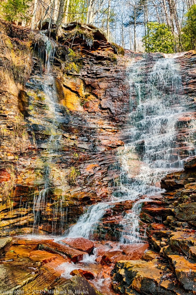
Cooper Creek Falls - North Chickamauga Trail Segment of the Cumberland Trail - February 16, 2013
Cooper Creek Falls - North Chickamauga Trail Segment of the Cumberland Trail - February 16, 2013
Cooper Creek Falls - North Chickamauga Trail Segment of the Cumberland Trail - February 16, 2013

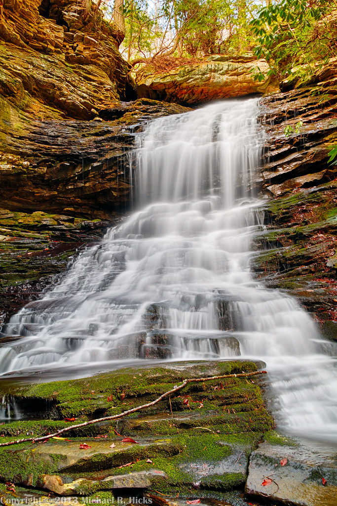
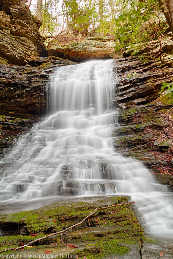
Stripmine Falls - North Chickamauga Trail Segment of the Cumberland Trail - February 16, 2013

Patrick & Jennifer - Cooper Creek Falls - North Chickamauga Trail Segment of the Cumberland Trail - February 16, 2013

Stripmine Falls - North Chickamauga Trail Segment of the Cumberland Trail - February 16, 2013

Stripmine Falls - North Chickamauga Trail Segment of the Cumberland Trail - February 16, 2013
Stripmine Falls - North Chickamauga Trail Segment of the Cumberland Trail - February 16, 2013

Cooper Creek Falls - North Chickamauga Trail Segment of the Cumberland Trail - February 16, 2013

Big Possum Creek - Possum Creek Gorge Section of the Cumberland Trail

Big Possum Creek - Possum Creek Gorge Section of the Cumberland Trail

Chickamauga Creek - North Chickamauga Trail Segment of the Cumberland Trail - February 16, 2013

Boston Branch Overlook - North Chickamauga Trail Segment of the Cumberland Trail - February 16, 2013

Chickamauga Creek - North Chickamauga Trail Segment of the Cumberland Trail - February 16, 2013

Chickamauga Creek - North Chickamauga Trail Segment of the Cumberland Trail - February 16, 2013

Stripmine Falls - North Chickamauga Trail Segment of the Cumberland Trail - February 16, 2013

Chickamauga Creek - North Chickamauga Trail Segment of the Cumberland Trail - February 16, 2013
Topographic Map of Lewis Chapel Road, Lewis Chapel Rd, Graysville, TN, USA
Find elevation by address:

Places near Lewis Chapel Road, Lewis Chapel Rd, Graysville, TN, USA:
Lewis Chapel Road
2119 Lewis Chapel Rd
279 Little Falls Rd
432 Eagle Nest Rd
200 Picnic Rd
118 Graham Cemetery Rd
4227 Henson Gap Rd
4227 Henson Gap Rd
Wolf Bridge Road
1545 State Hwy 304
E Valley Rd, Dunlap, TN, USA
678 Ray Hixson Rd
Branch Road
Branch Road
Old York Hwy, Dunlap, TN, USA
657 Old State Hwy 8
518 Old State Hwy 8
Dunlap
12727 Jones Gap Rd
Sequatchie County
Recent Searches:
- Elevation of Fern Rd, Whitmore, CA, USA
- Elevation of 62 Abbey St, Marshfield, MA, USA
- Elevation of Fernwood, Bradenton, FL, USA
- Elevation of Felindre, Swansea SA5 7LU, UK
- Elevation of Leyte Industrial Development Estate, Isabel, Leyte, Philippines
- Elevation of W Granada St, Tampa, FL, USA
- Elevation of Pykes Down, Ivybridge PL21 0BY, UK
- Elevation of Jalan Senandin, Lutong, Miri, Sarawak, Malaysia
- Elevation of Bilohirs'k
- Elevation of 30 Oak Lawn Dr, Barkhamsted, CT, USA