Elevation of Wister, OK, USA
Location: United States > Oklahoma > Le Flore County >
Longitude: -94.725567
Latitude: 34.9674192
Elevation: 146m / 479feet
Barometric Pressure: 100KPa
Elevation Map:
Satellite Map:
Related Photos:

KCS SD70ACe-4025, 4024 S/B at Heavener, OK.

KCS ES44AC-4691, CSX C44-9W-9020, UP C60AC-7307 S/B DPU at Forest Hill, OK.

KCS SD70ACe-4025, 4024 S/B at Forest Hill, OK.
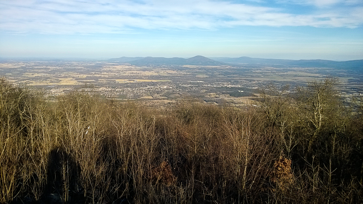
The view from Heavener Runestone Park.

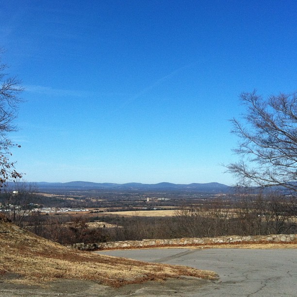
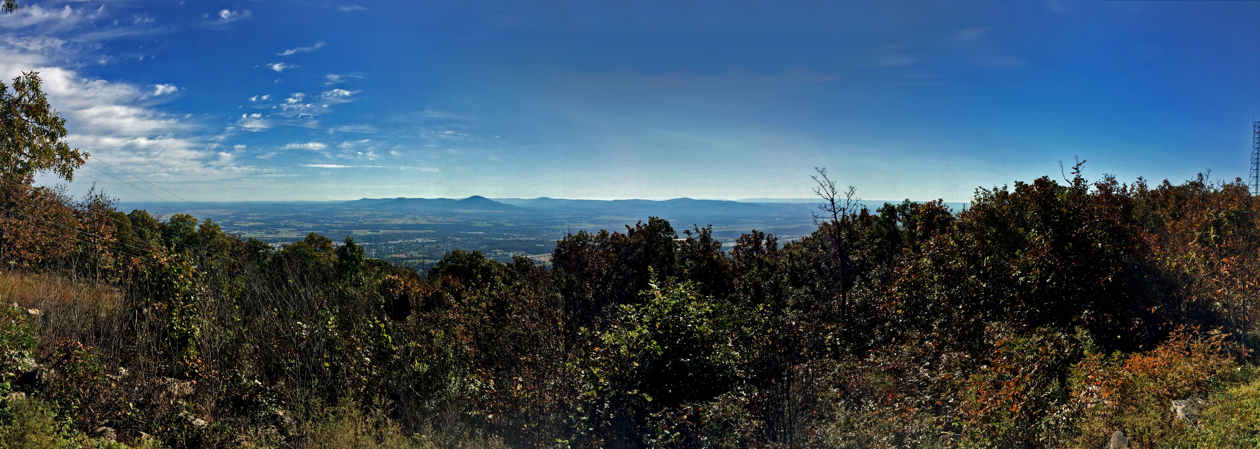
View from Heavener Runestone State Park towards Ouachita Mtns.
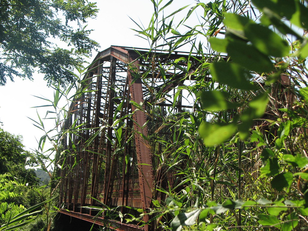
Poteau River Old US 59
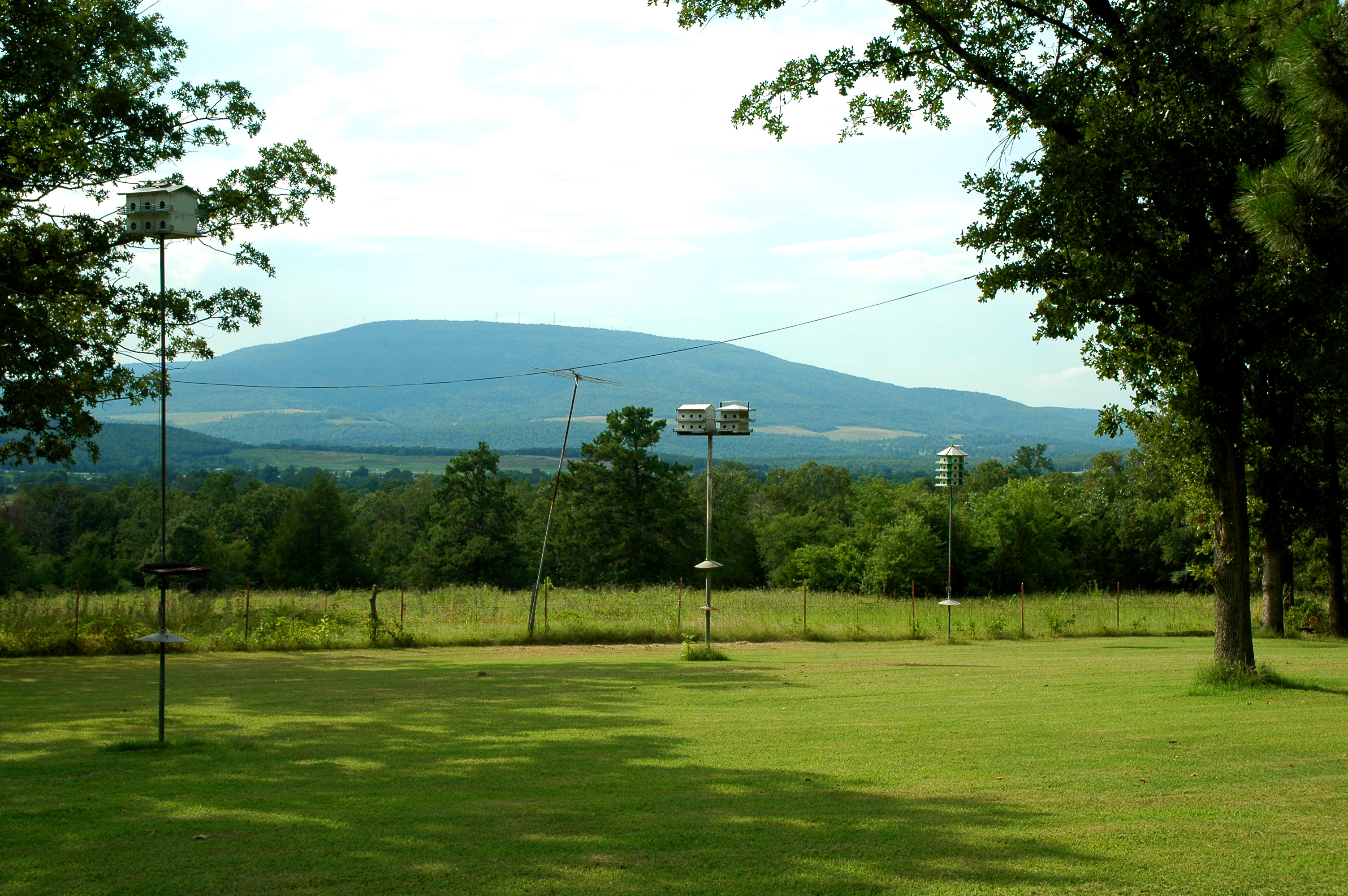
Parents' House: Backyard View

Parents' House: Across the Street 1
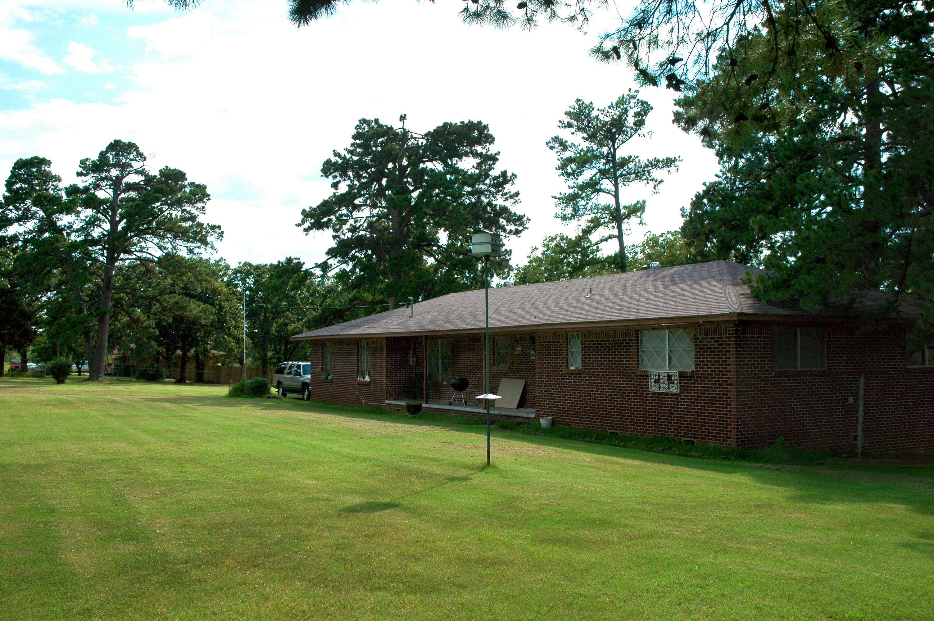
Parents' House: The House 2
View from Cavanal Hill Park
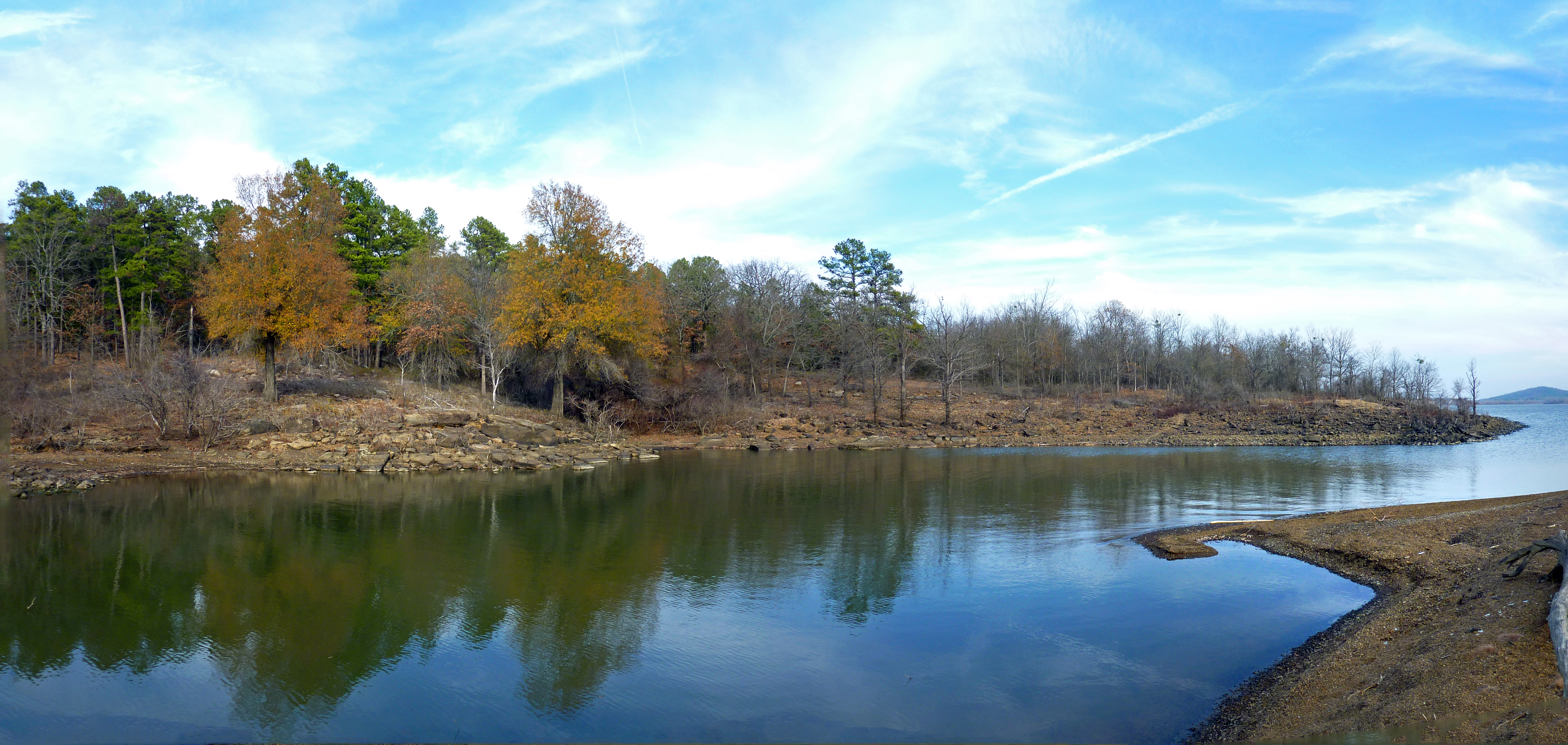
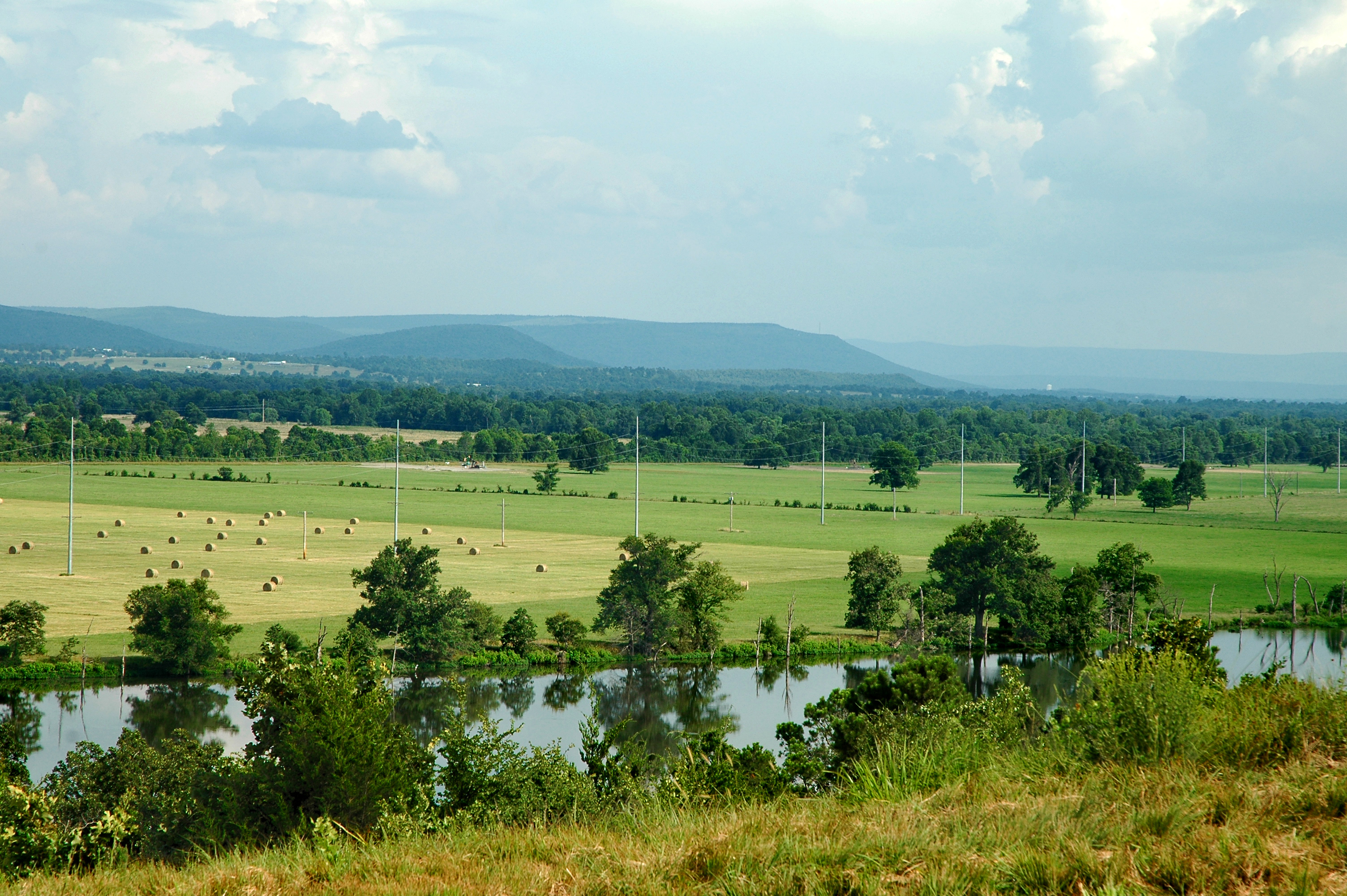
Wards Landing Inlet

Hole in the Cloud Deck
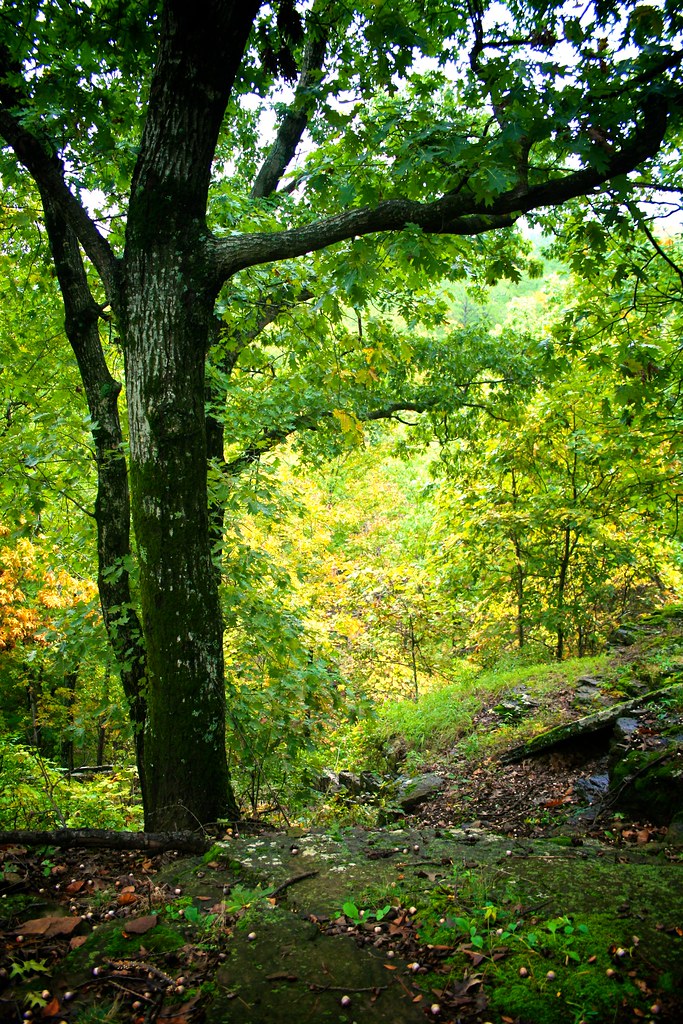
Oak in Early Fall

Runestone 5

Can do some major damage.
Runestone 1
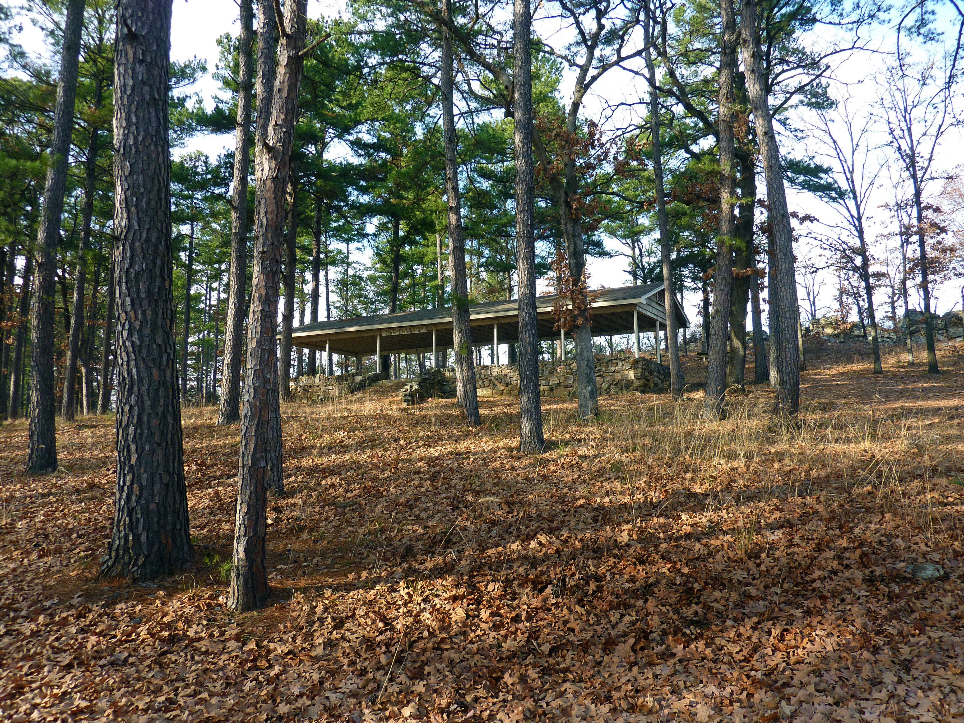
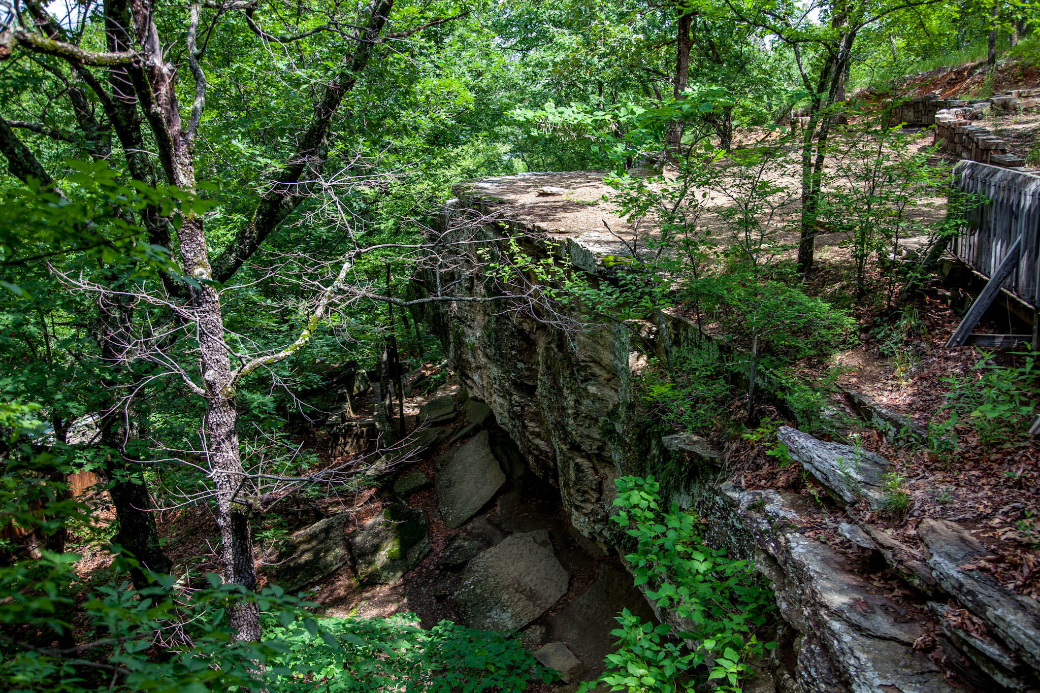
Shelter at Area 2
Poteau, OK from World's Highest Hill
Parents' House: Across the Street 2
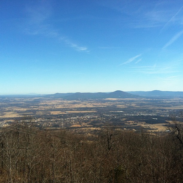
Hello from atop the World's Highest Hill!
Topographic Map of Wister, OK, USA
Find elevation by address:

Places in Wister, OK, USA:
Places near Wister, OK, USA:
Lake Street
26354 Vaughn Loop
Luman Ln, Wister, OK, USA
Howe, OK, USA
Cavanal Hill
Le Flore County
Poteau
Heavener
Ford Place
Vaughn Lane
Co Rd N, Wister, OK, USA
Boyd St, Howe, OK, USA
Hammon St, McCurtain, OK, USA
W Hartford Rd, Hartford, AR, USA
Whitesboro
Slaytonville
5507 Ok-82
5507 Ok-82
5525 Slaytonville Rd
Mississippi Township
Recent Searches:
- Elevation of Corso Fratelli Cairoli, 35, Macerata MC, Italy
- Elevation of Tallevast Rd, Sarasota, FL, USA
- Elevation of 4th St E, Sonoma, CA, USA
- Elevation of Black Hollow Rd, Pennsdale, PA, USA
- Elevation of Oakland Ave, Williamsport, PA, USA
- Elevation of Pedrógão Grande, Portugal
- Elevation of Klee Dr, Martinsburg, WV, USA
- Elevation of Via Roma, Pieranica CR, Italy
- Elevation of Tavkvetili Mountain, Georgia
- Elevation of Hartfords Bluff Cir, Mt Pleasant, SC, USA