Elevation of Luman Ln, Wister, OK, USA
Location: United States > Oklahoma > Le Flore County > Wister >
Longitude: -94.761089
Latitude: 35.0103549
Elevation: 182m / 597feet
Barometric Pressure: 99KPa
Elevation Map:
Satellite Map:
Related Photos:
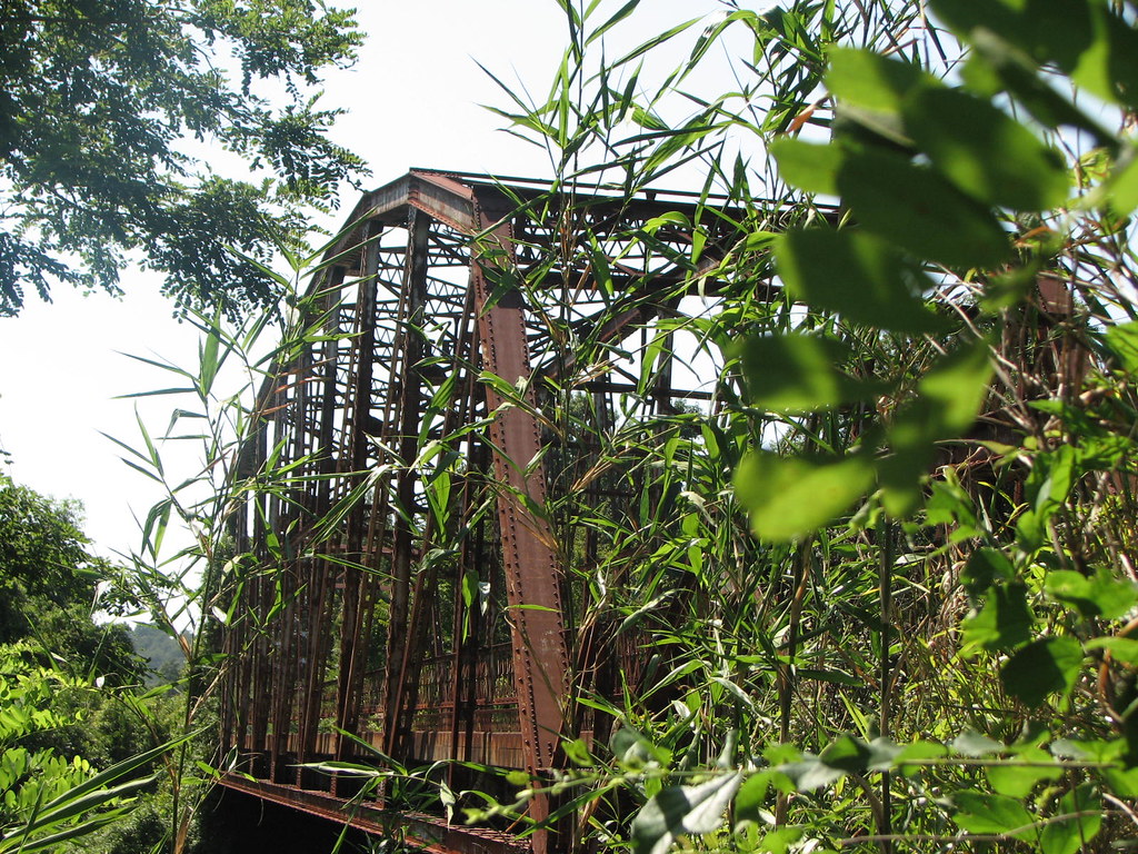
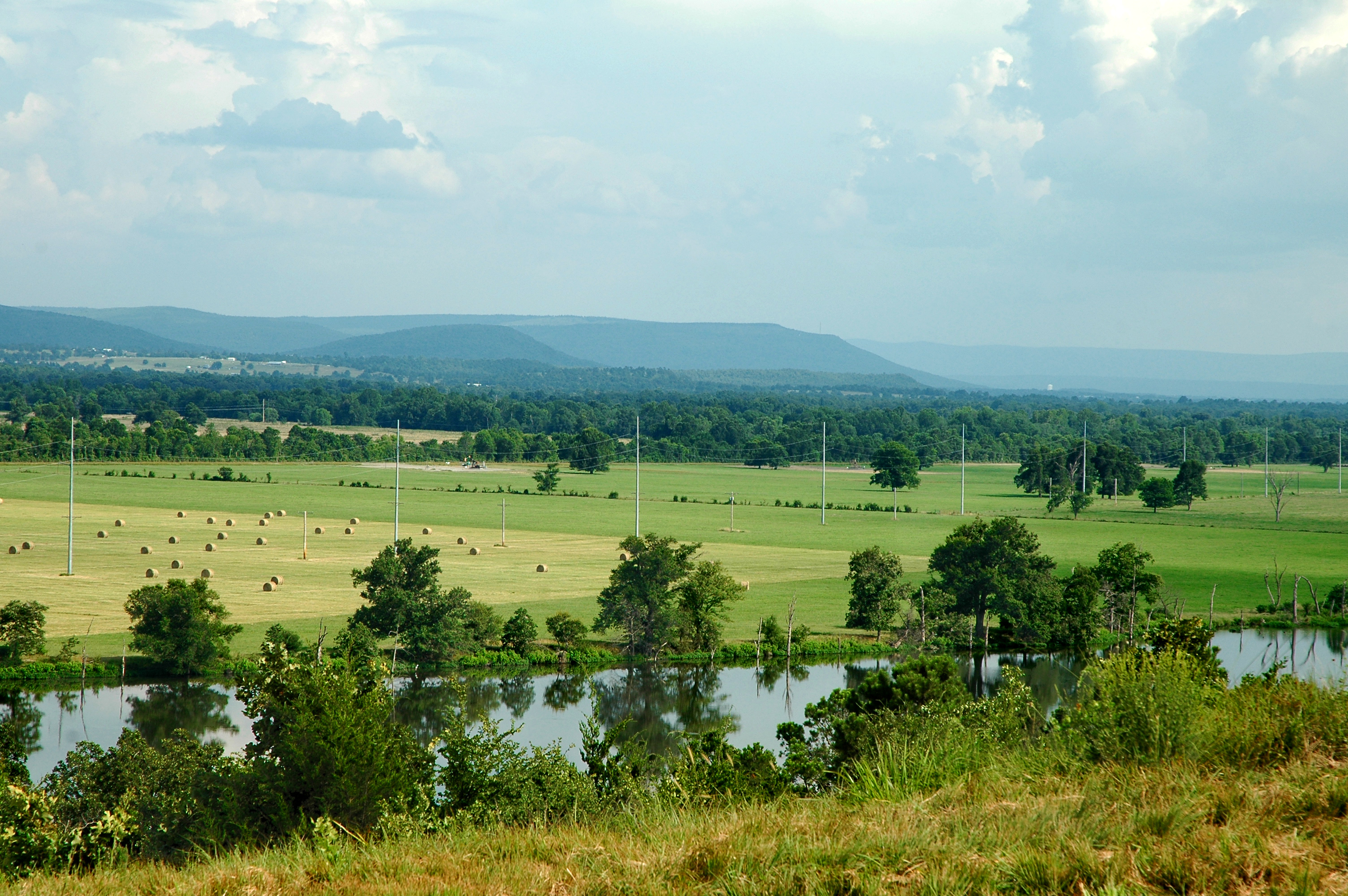
Poteau River Old US 59

KCS SD70ACe-4025, 4024 S/B at Heavener, OK.
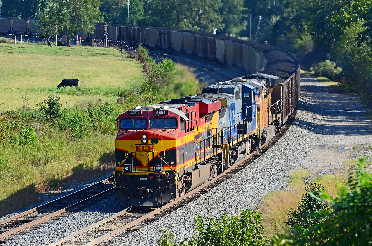
KCS ES44AC-4691, CSX C44-9W-9020, UP C60AC-7307 S/B DPU at Forest Hill, OK.
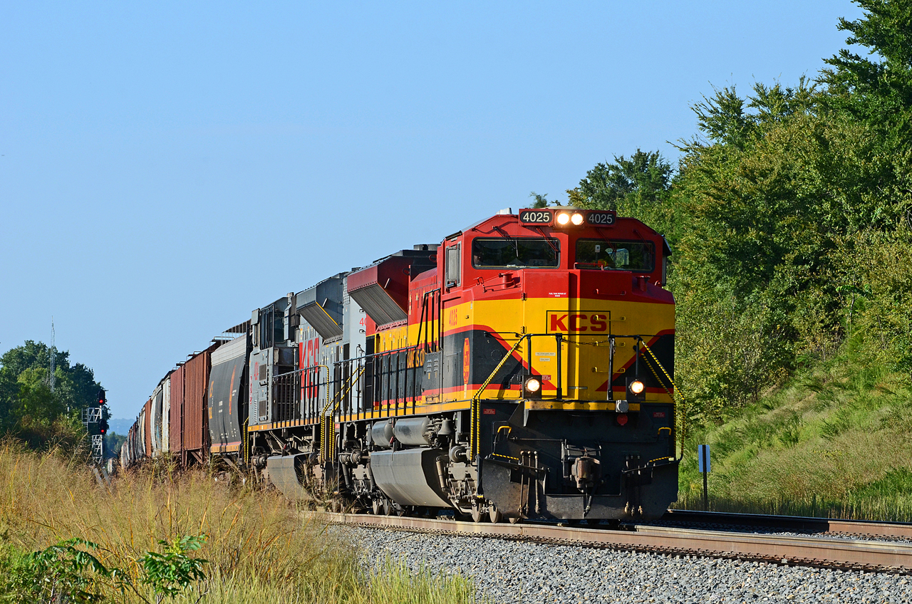
KCS SD70ACe-4025, 4024 S/B at Forest Hill, OK.
Parents' House: Backyard View

Parents' House: Across the Street 1
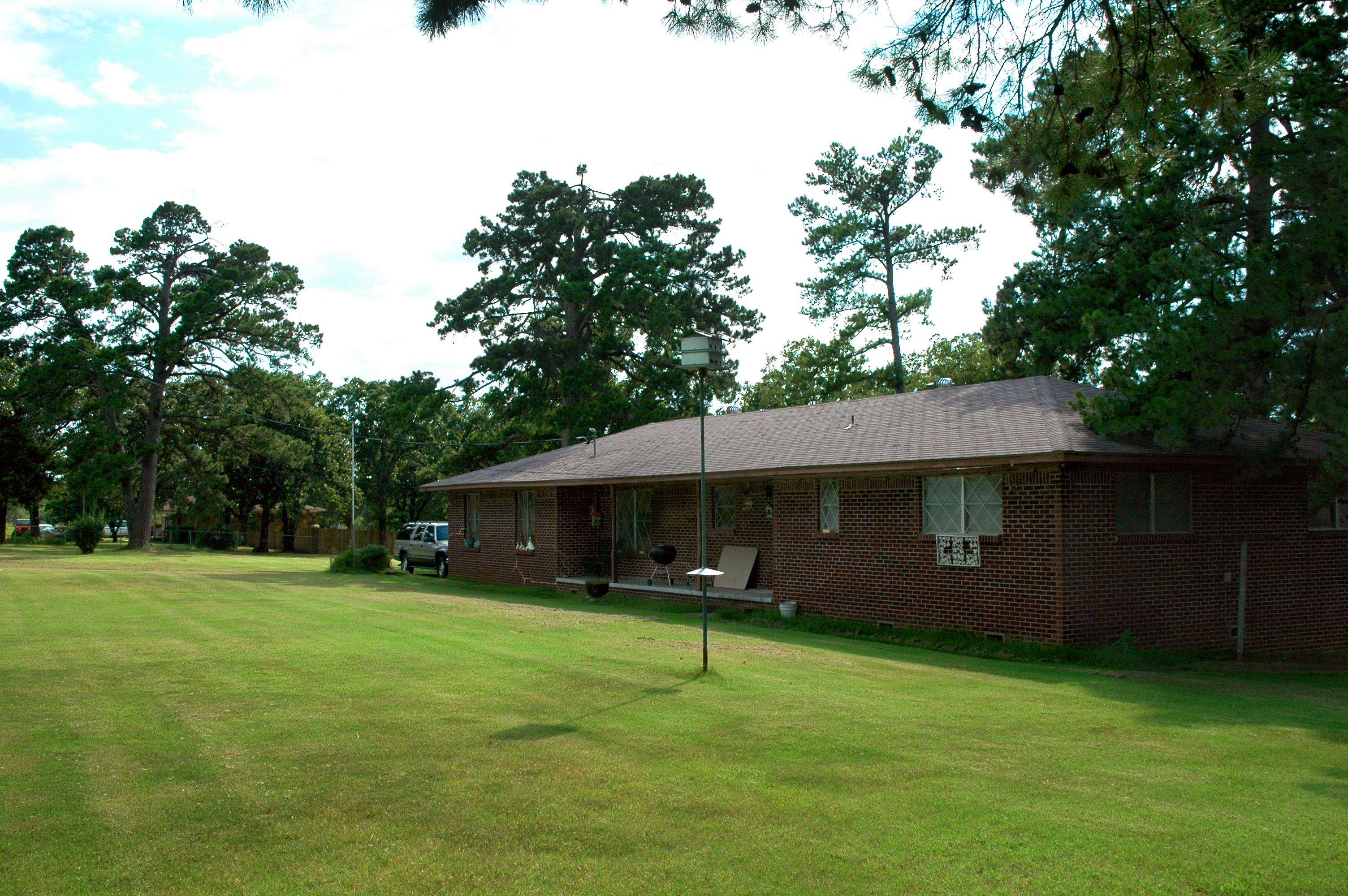
Parents' House: The House 2
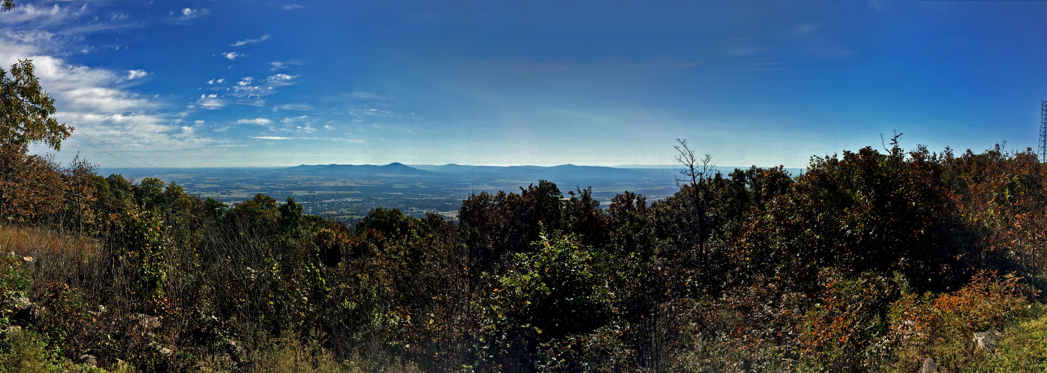
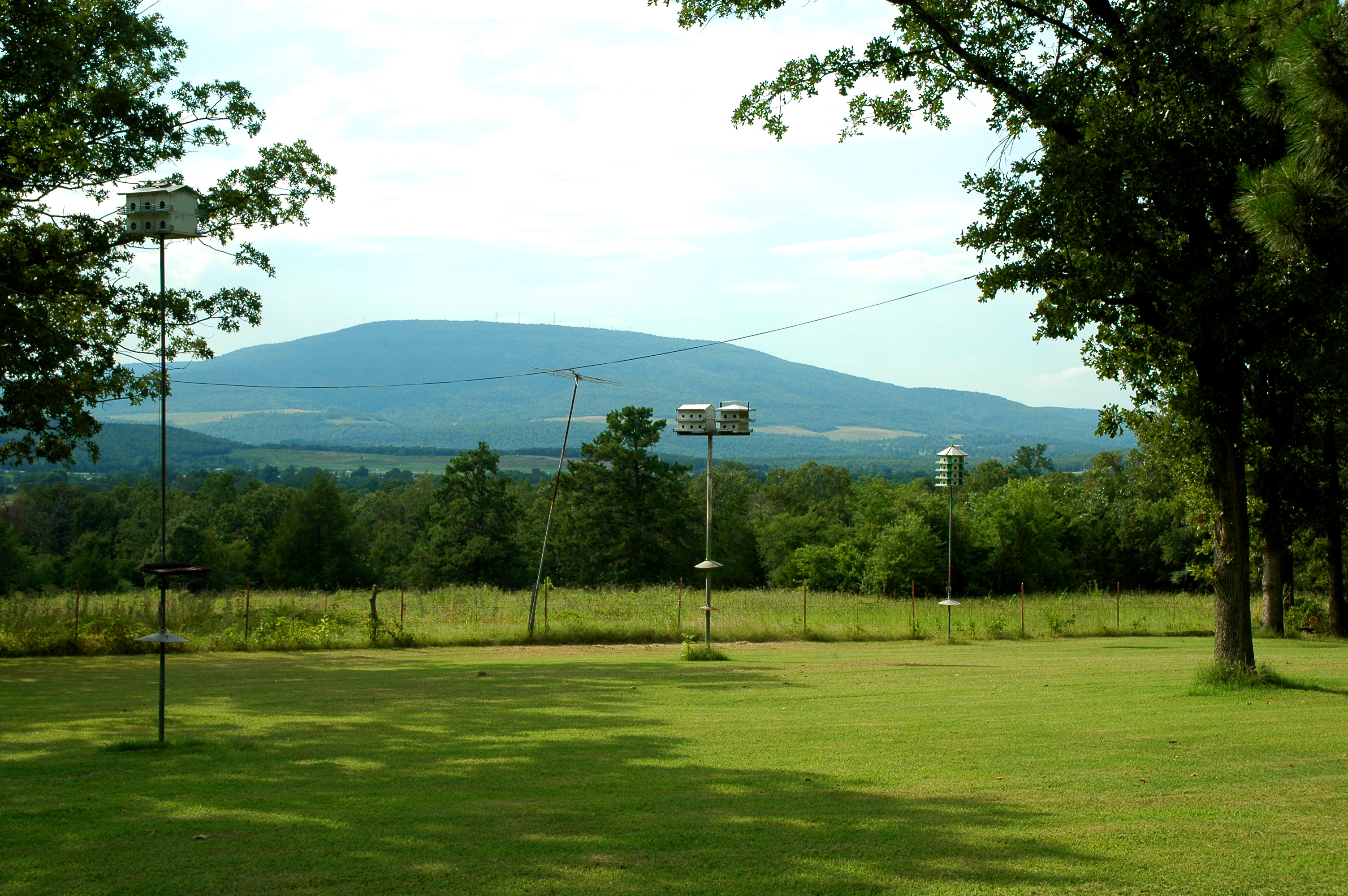
View from Cavanal Hill Park
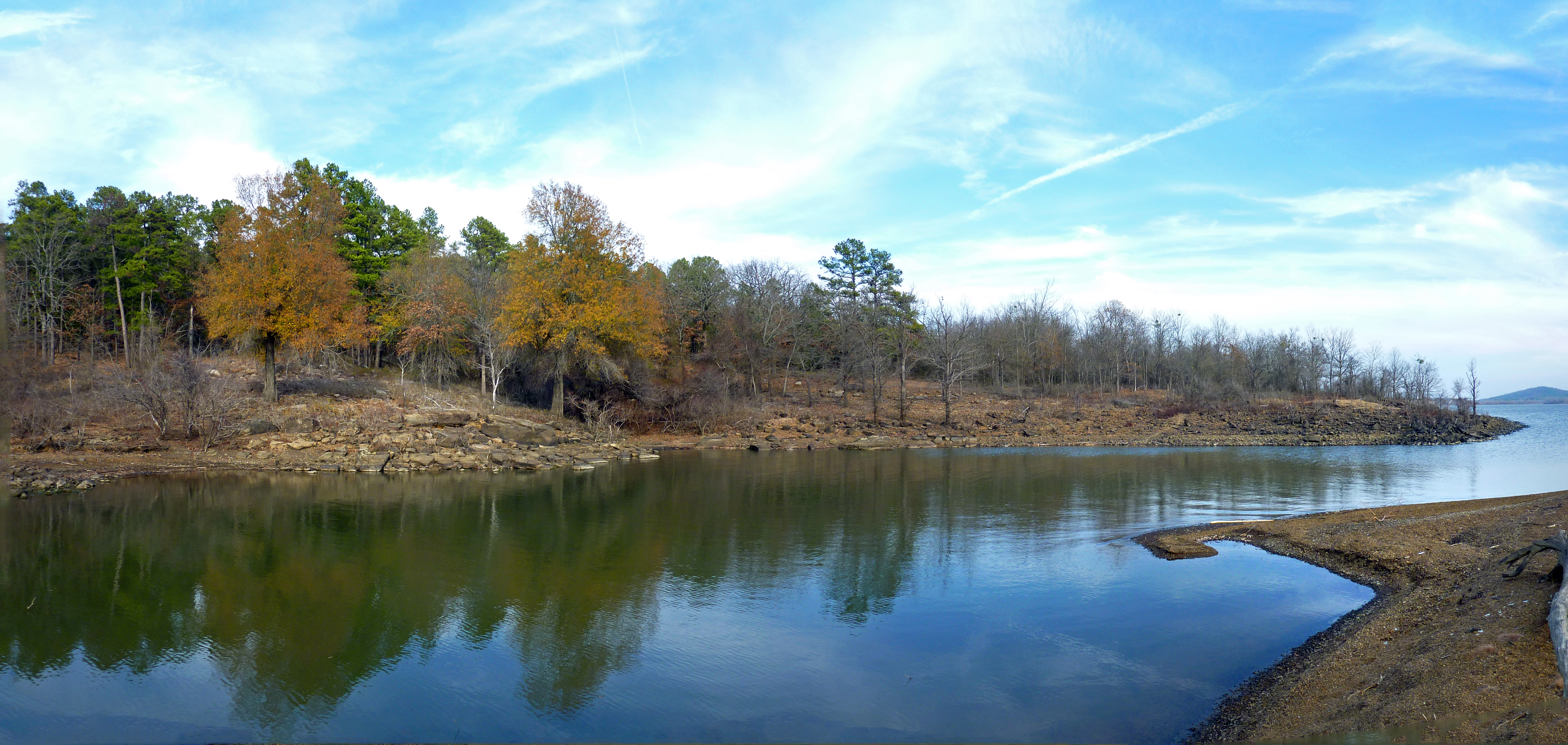
Wards Landing Inlet

Hole in the Cloud Deck
Parents' House: Across the Street 2
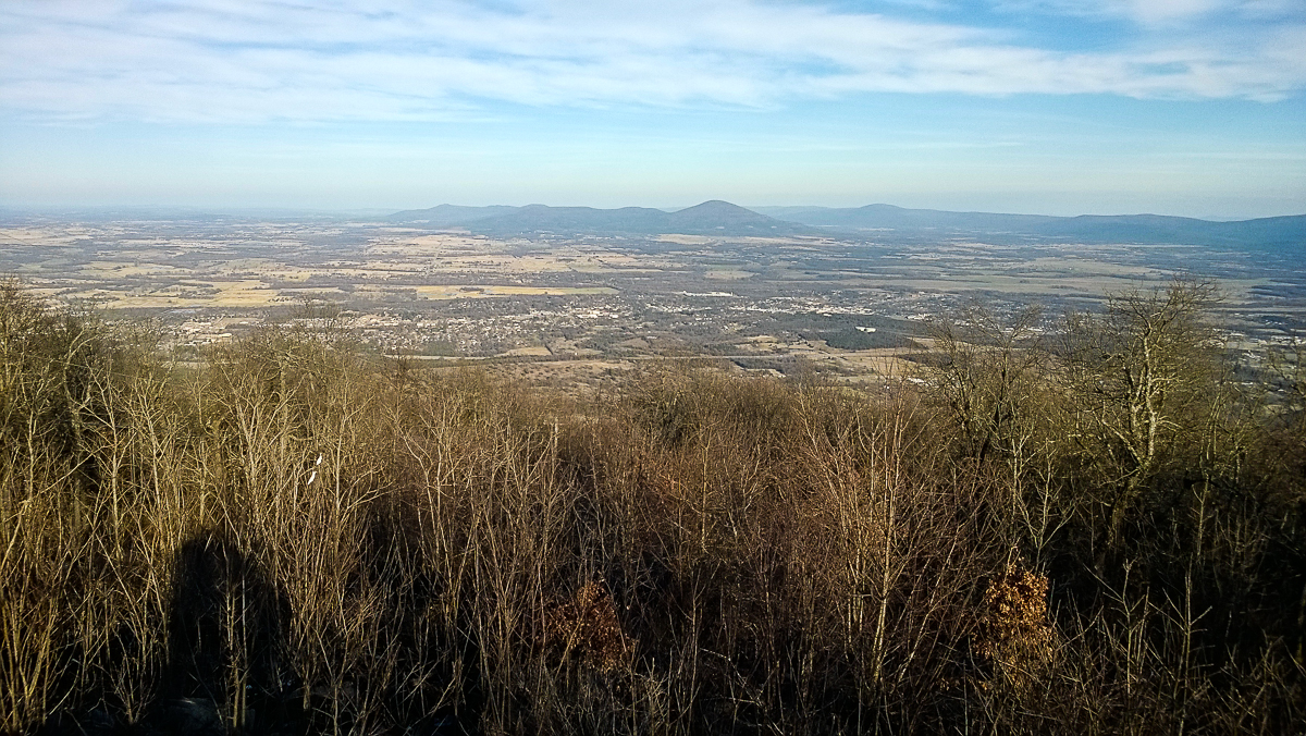
Hello from atop the World's Highest Hill!
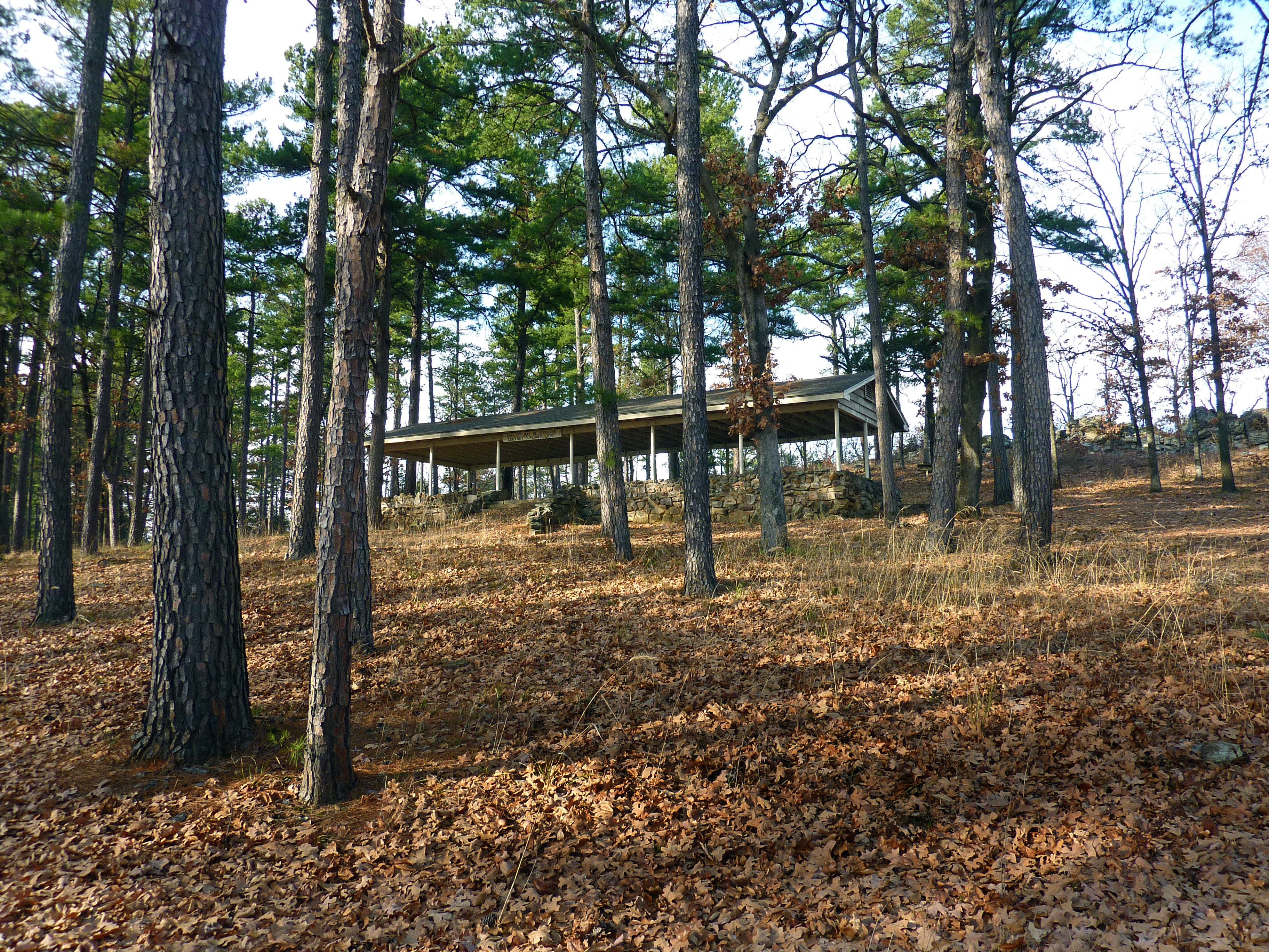
Shelter at Area 2
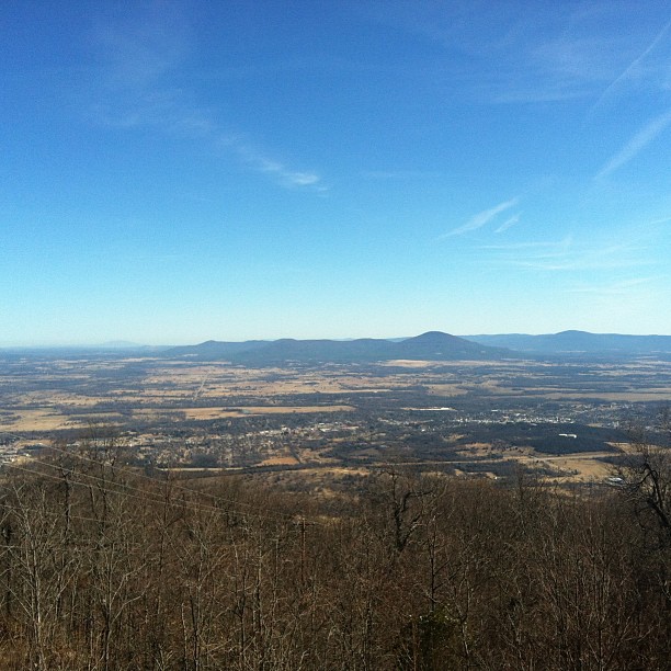
Poteau, OK from World's Highest Hill
Topographic Map of Luman Ln, Wister, OK, USA
Find elevation by address:

Places near Luman Ln, Wister, OK, USA:
26354 Vaughn Loop
Lake Street
Wister
Cavanal Hill
Howe, OK, USA
Poteau
Ford Place
Co Rd N, Wister, OK, USA
Vaughn Lane
Le Flore County
Heavener
Boyd St, Howe, OK, USA
Hammon St, McCurtain, OK, USA
5507 Ok-82
5507 Ok-82
Red Oak
S Main St, Red Oak, OK, USA
Slaytonville
Whitesboro
W Hartford Rd, Hartford, AR, USA
Recent Searches:
- Elevation of Woolwine, VA, USA
- Elevation of Lumagwas Diversified Farmers Multi-Purpose Cooperative, Lumagwas, Adtuyon, RV32+MH7, Pangantucan, Bukidnon, Philippines
- Elevation of Homestead Ridge, New Braunfels, TX, USA
- Elevation of Orchard Road, Orchard Rd, Marlborough, NY, USA
- Elevation of 12 Hutchinson Woods Dr, Fletcher, NC, USA
- Elevation of Holloway Ave, San Francisco, CA, USA
- Elevation of Norfolk, NY, USA
- Elevation of - San Marcos Pass Rd, Santa Barbara, CA, USA
- Elevation of th Pl SE, Issaquah, WA, USA
- Elevation of 82- D Rd, Captain Cook, HI, USA