Elevation of Winnemucca, NV, USA
Location: United States > Nevada > Winnemucca >
Longitude: -118.48639
Latitude: 41.1650556
Elevation: 1391m / 4564feet
Barometric Pressure: 86KPa
Elevation Map:
Satellite Map:
Related Photos:

Snow patch and view East

The final ascent

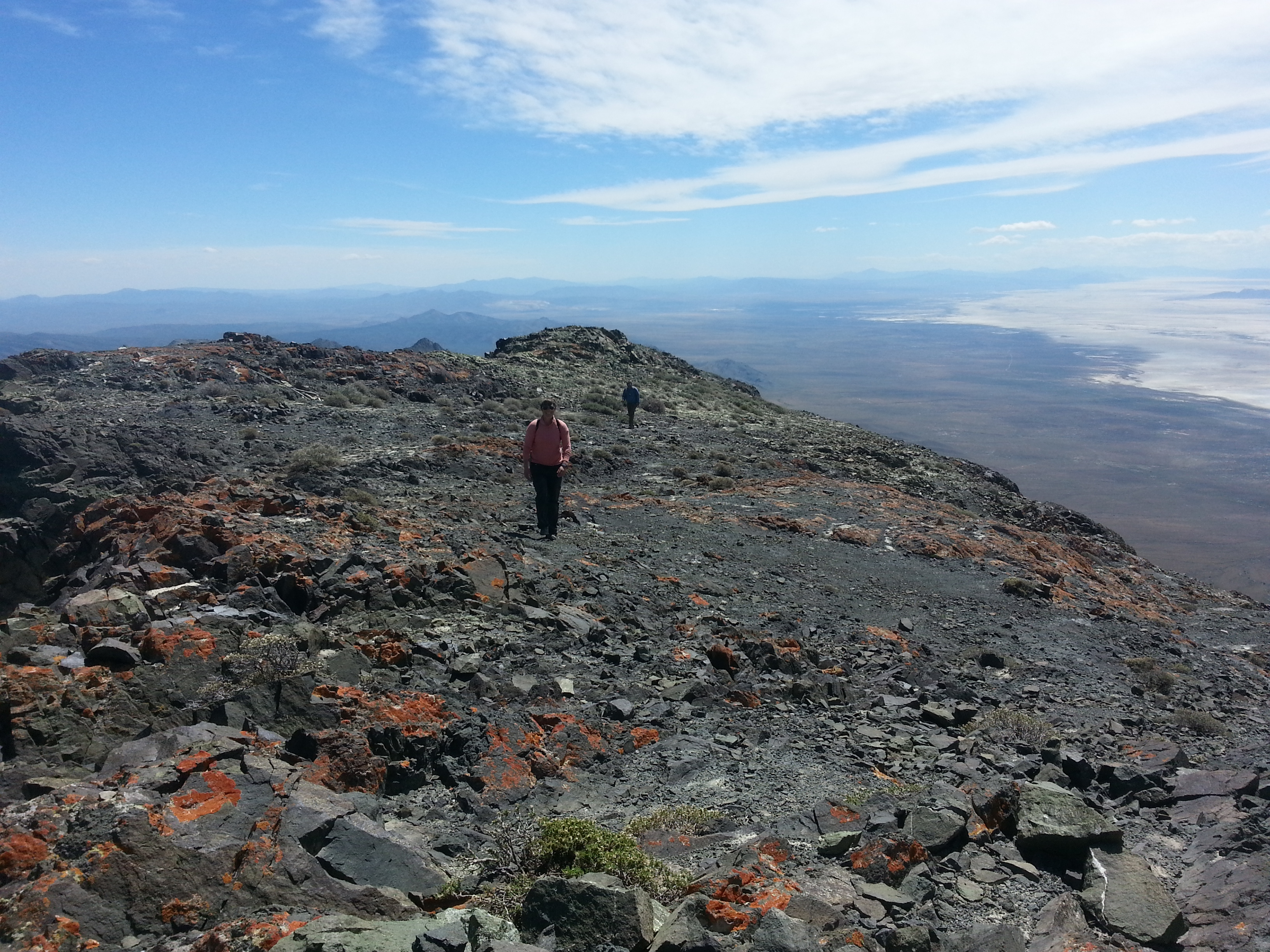
Ridge navigation

Dan and Renee approach the pass
King Lear summit ridge

Bighorn remains
Topographic Map of Winnemucca, NV, USA
Find elevation by address:

Places near Winnemucca, NV, USA:
Recent Searches:
- Elevation of Congressional Dr, Stevensville, MD, USA
- Elevation of Bellview Rd, McLean, VA, USA
- Elevation of Stage Island Rd, Chatham, MA, USA
- Elevation of Shibuya Scramble Crossing, 21 Udagawacho, Shibuya City, Tokyo -, Japan
- Elevation of Jadagoniai, Kaunas District Municipality, Lithuania
- Elevation of Pagonija rock, Kranto 7-oji g. 8"N, Kaunas, Lithuania
- Elevation of Co Rd 87, Jamestown, CO, USA
- Elevation of Tenjo, Cundinamarca, Colombia
- Elevation of Côte-des-Neiges, Montreal, QC H4A 3J6, Canada
- Elevation of Bobcat Dr, Helena, MT, USA