Elevation map of Humboldt County, NV, USA
Location: United States > Nevada >
Longitude: -118.55009
Latitude: 41.5931459
Elevation: 1252m / 4108feet
Barometric Pressure: 87KPa
Elevation Map:
Satellite Map:
Related Photos:
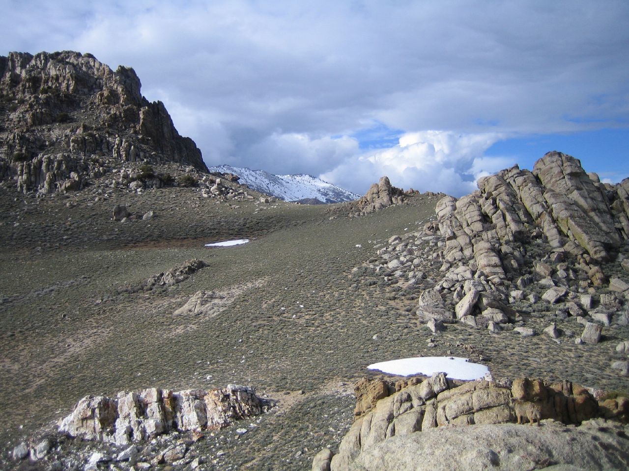
pine forest cliffs 2005
Hey Guys!

Early morning light
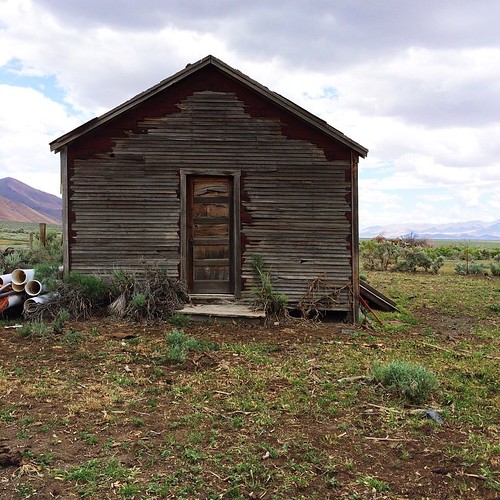
Little ole school house.

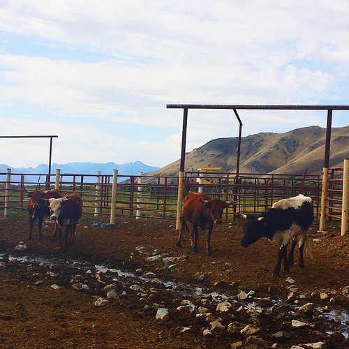
@laudalino getting some early morning bull riding in...

@laudalino getting some early morning bull riding in...
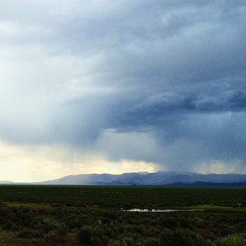
There's a storm coming ..

Bet you didn't know I had a little cowgirl blood in me! #nevada #family #ranch #traveling

Ropes. #traveling #ranch #nevada #ropes
Topographic Map of Humboldt County, NV, USA
Find elevation by address:

Places in Humboldt County, NV, USA:
Places near Humboldt County, NV, USA:
Recent Searches:
- Elevation of Corso Fratelli Cairoli, 35, Macerata MC, Italy
- Elevation of Tallevast Rd, Sarasota, FL, USA
- Elevation of 4th St E, Sonoma, CA, USA
- Elevation of Black Hollow Rd, Pennsdale, PA, USA
- Elevation of Oakland Ave, Williamsport, PA, USA
- Elevation of Pedrógão Grande, Portugal
- Elevation of Klee Dr, Martinsburg, WV, USA
- Elevation of Via Roma, Pieranica CR, Italy
- Elevation of Tavkvetili Mountain, Georgia
- Elevation of Hartfords Bluff Cir, Mt Pleasant, SC, USA