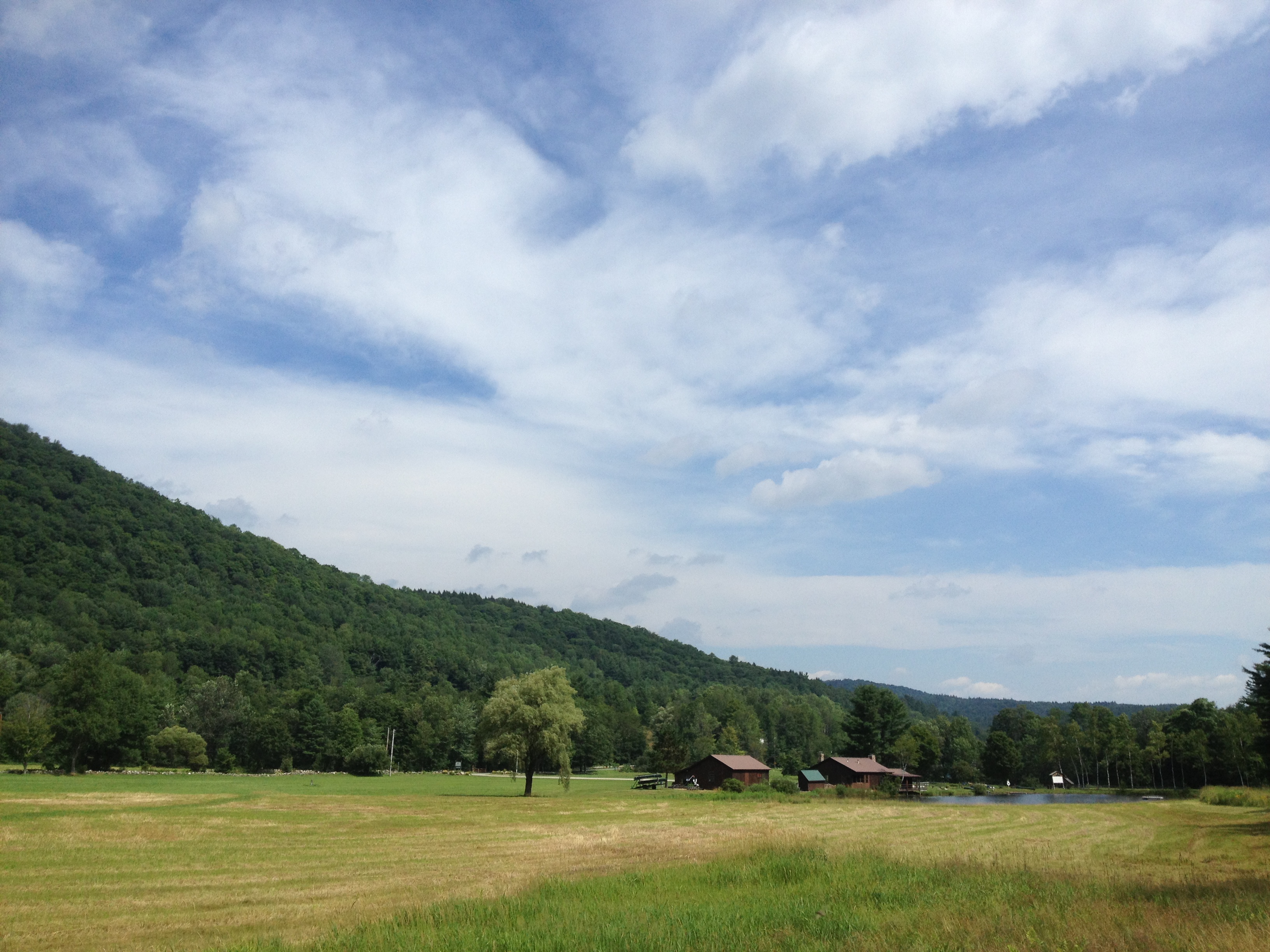
Elevation of Windham Hill Rd, Windham, VT, USA
Location: United States > Vermont > Windham County > Windham >
Longitude: -72.720238
Latitude: 43.152691
Elevation: 530m / 1739feet
Barometric Pressure: 95KPa
Elevation Map:
Satellite Map:
Related Photos:

Heading Up

Hamilton Falls

The Maine House Group @ Stratton Mountain Resort, VT

Bombus griseocollis,ocelli view, Rockingham, 5/22/2012

MY Little Chickadee!

an opening in the lattice

Townshend Village Green

How Sweet It Is!!!!

Cobb Brook

Bombus griseocollis, top view, Rockingham, 5/22/2012

At Last!!! A Green Heron!!

Bombus Bimaculatus queen

Bombus Bimaculatus queen

View From Little Ball Mountain 5527

Vermont View

5009-00A-4-1-42- Magic View Motel, Londonderry, Vermont, december 1998

View of my campsite's ceiling.

Getting a view

∞

gold rush

Trees 4a

Golden Frame

The Perfect Fake! (Explored!)

I never think of the future - it comes soon enough...

Four Spotter Skimmer

Rescue Ladder at Hamilton Falls

Country Roads (Explored)
2013-07-19 10.41.48

Autumn in Vermont

The Dumplings

Never give up; for even rivers someday wash dams away...

2013-07-19 10.44.20

2013-07-19 10.41.26

Vermont 005

2013-07-19 09.31.48

2013-07-19 09.20.13

2013-07-19 10.44.30

2013-07-19 10.44.28

What Did I Get Myself Into?
Topographic Map of Windham Hill Rd, Windham, VT, USA
Find elevation by address:

Places near Windham Hill Rd, Windham, VT, USA:
1353 Burbee Pond Rd
4240 Windham Hill Rd
1353 Burbee Pond Rd
531 Burbee Pond Rd
Windham
South Windham
24 Chase Rd, Windham, VT, USA
254 Lawrence Dr
56 Hidden Newton Rd
505 Windham Hill Rd
Little Ball Mountain
West Townshend
Magic Mountain Ski Area
220 Pierce Ridge
273 Lowell Lake Rd
175 Loon Cir Pvt
1713 Cabell Rd
373 Winslow Dr
2220 Townshend Rd
1052 Stagecoach Rd
Recent Searches:
- Elevation of Tenjo, Cundinamarca, Colombia
- Elevation of Côte-des-Neiges, Montreal, QC H4A 3J6, Canada
- Elevation of Bobcat Dr, Helena, MT, USA
- Elevation of Zu den Ihlowbergen, Althüttendorf, Germany
- Elevation of Badaber, Peshawar, Khyber Pakhtunkhwa, Pakistan
- Elevation of SE Heron Loop, Lincoln City, OR, USA
- Elevation of Slanický ostrov, 01 Námestovo, Slovakia
- Elevation of Spaceport America, Co Rd A, Truth or Consequences, NM, USA
- Elevation of Warwick, RI, USA
- Elevation of Fern Rd, Whitmore, CA, USA