Elevation of Burbee Pond Rd, Windham, VT, USA
Location: United States > Vermont > Windham County > Windham >
Longitude: -72.728587
Latitude: 43.1532172
Elevation: 503m / 1650feet
Barometric Pressure: 95KPa
Elevation Map:
Satellite Map:
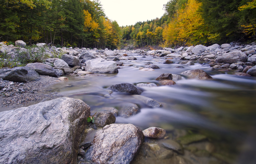
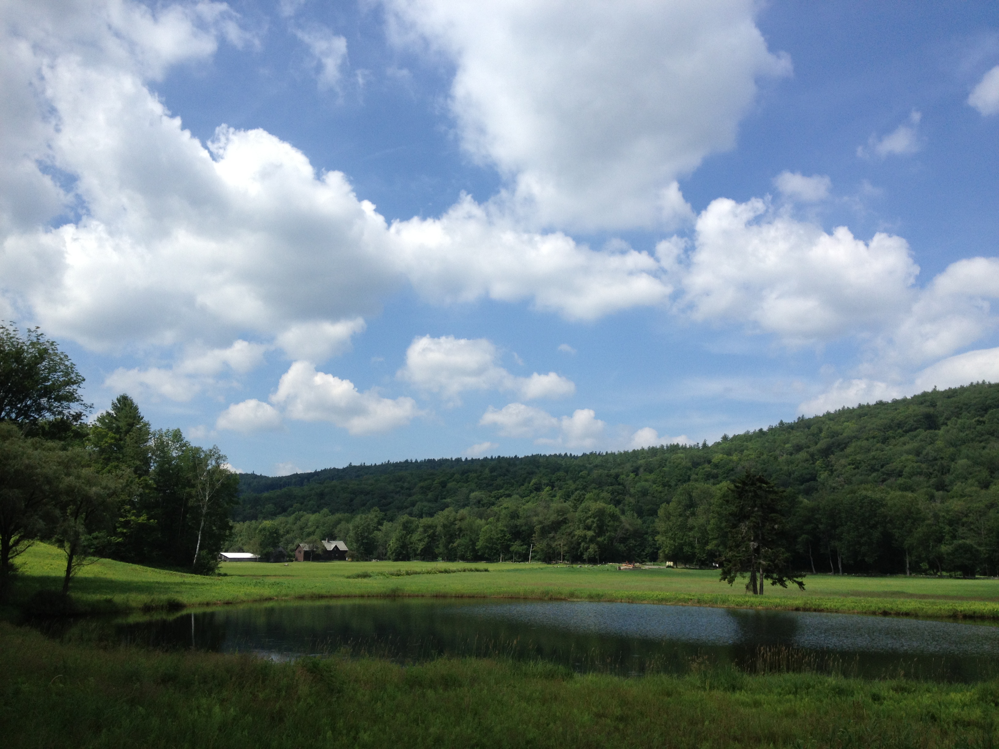
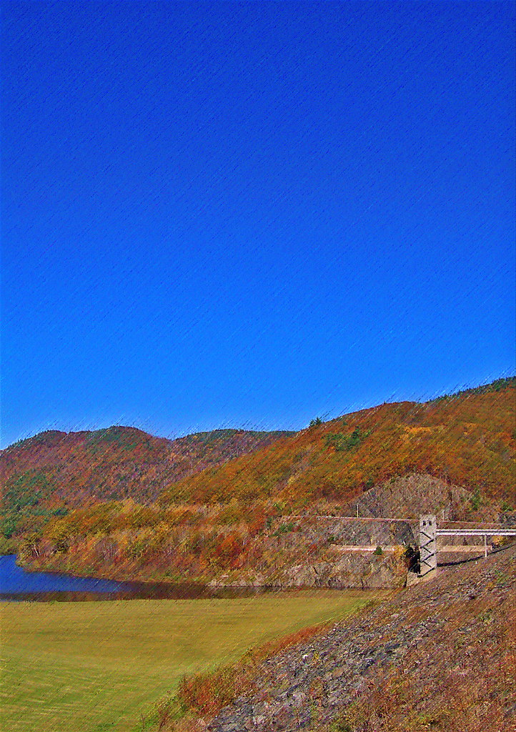
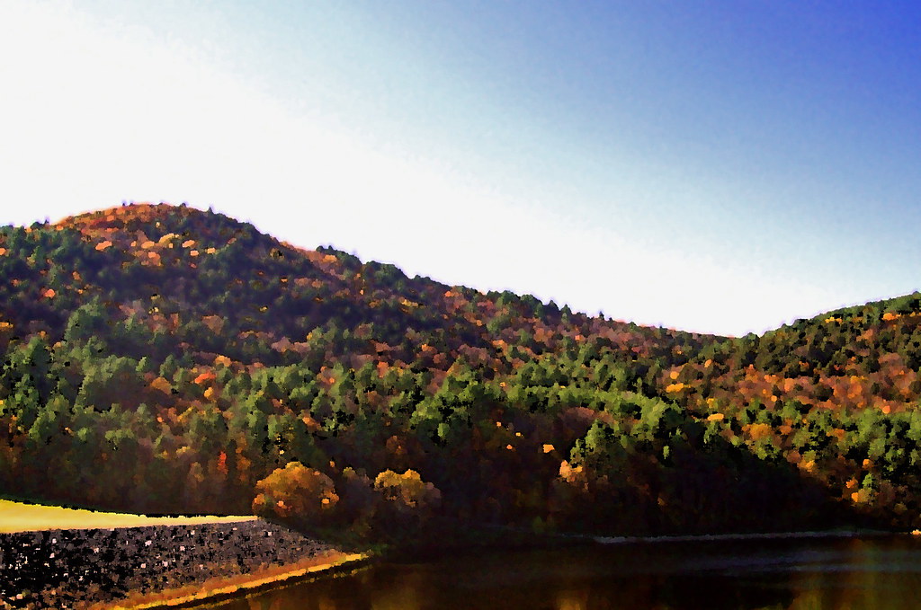
Related Photos:
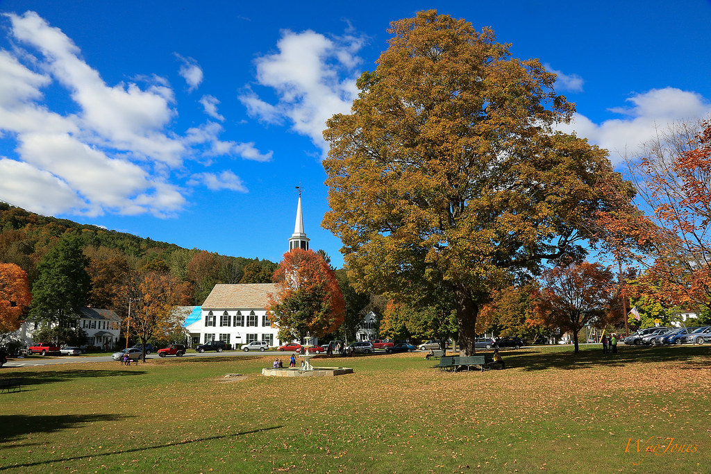
Townshend Village Green

How Sweet It Is!!!!

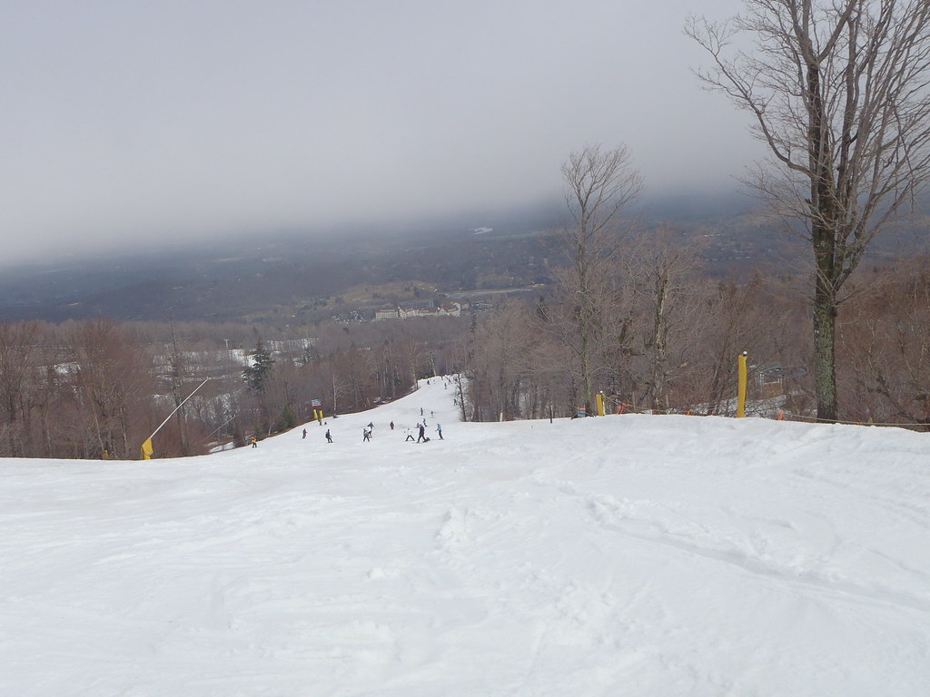
Heading Up
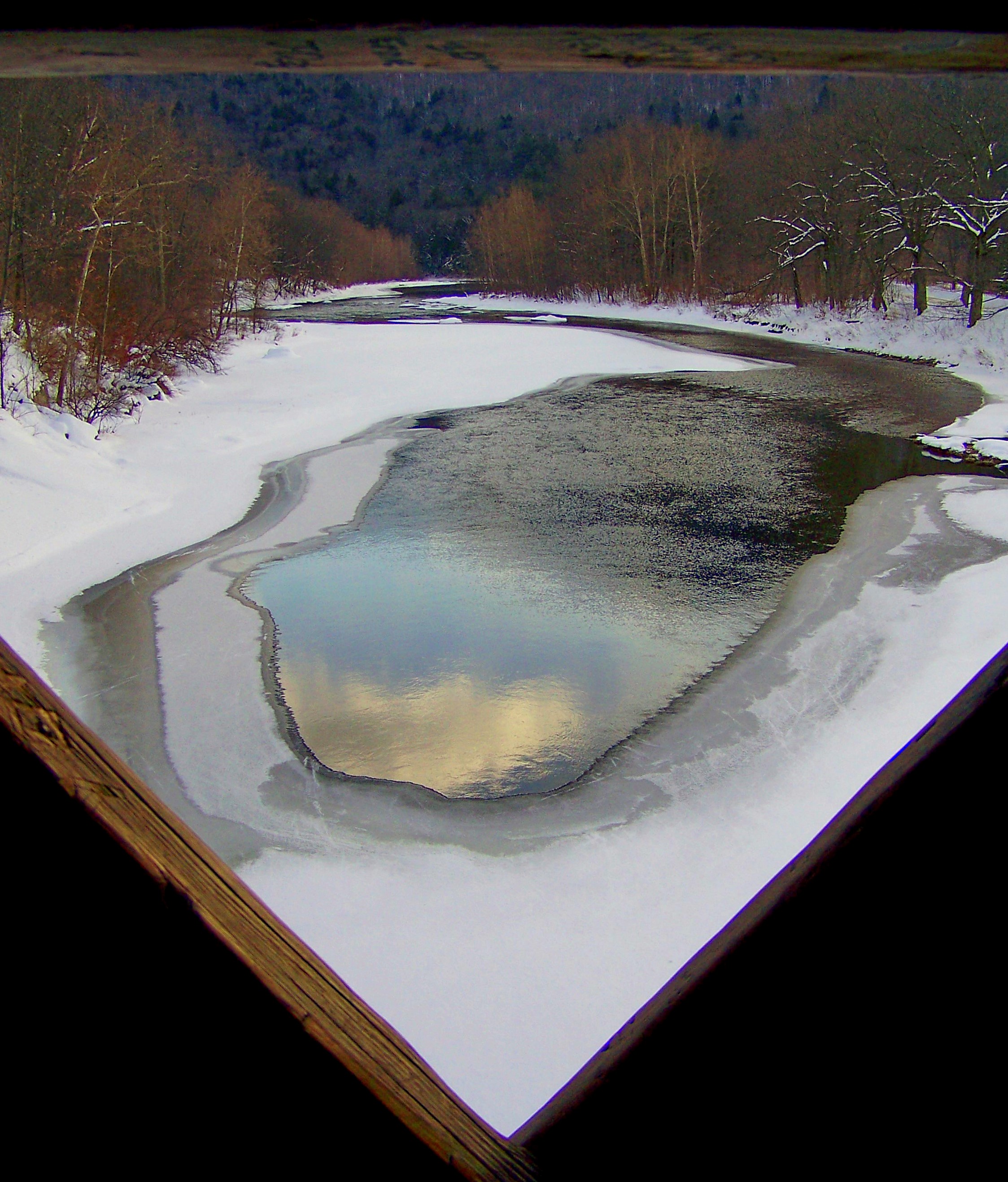
an opening in the lattice

MY Little Chickadee!
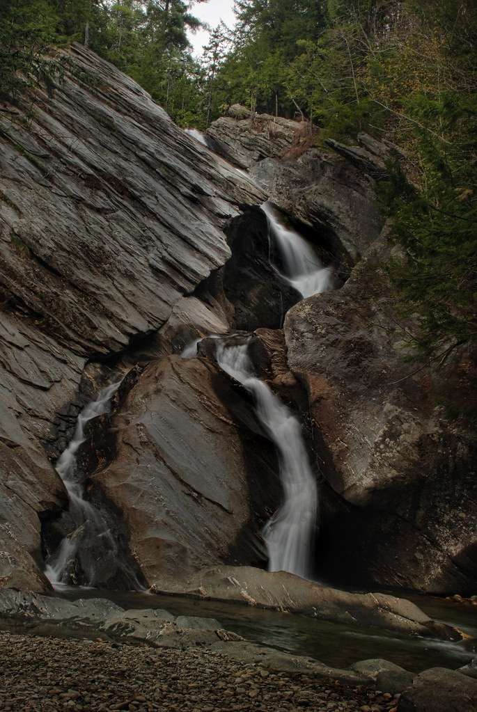
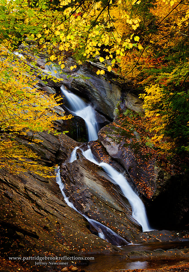
Hamilton Falls, Jamaica Vermont
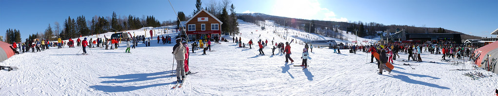
US-VT Stratton Mountain Ski Resort 2009-02-21

"Mr. McGee, Don't Make Me Angry!"

At Last!!! A Green Heron!!
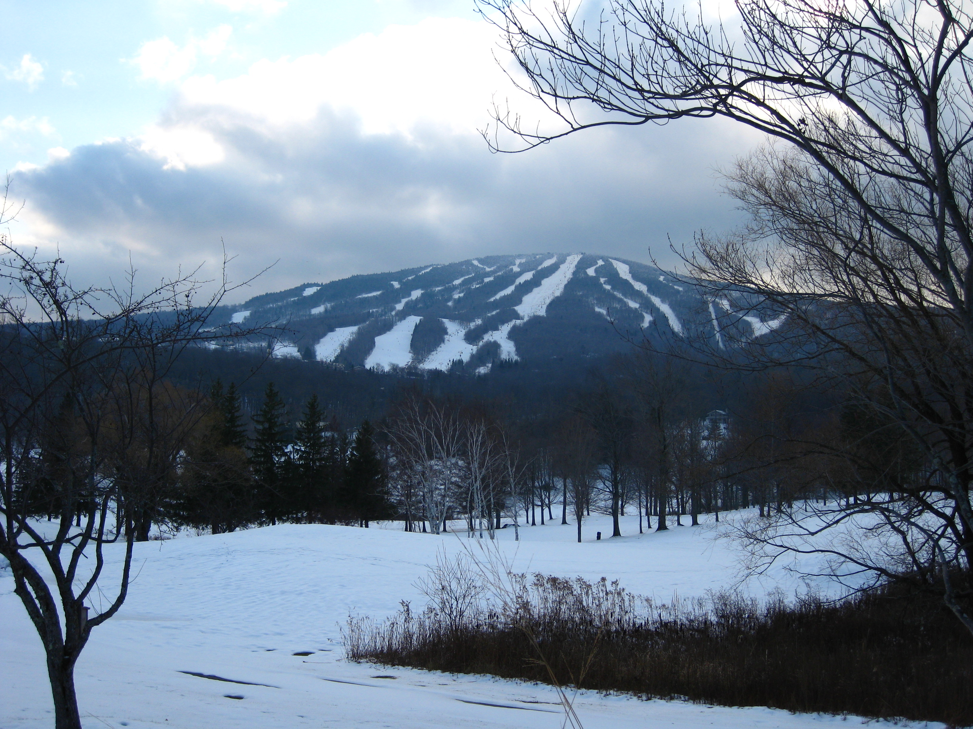
Stratton Mountain view

Fall View_1

View of my campsite's ceiling.
The Maine House Group @ Stratton Mountain Resort, VT

The view through the #beer ! @strattonresort with @cduggan9 #springskiing #grizzlys #ski #northeast #snowboarding #vscocam

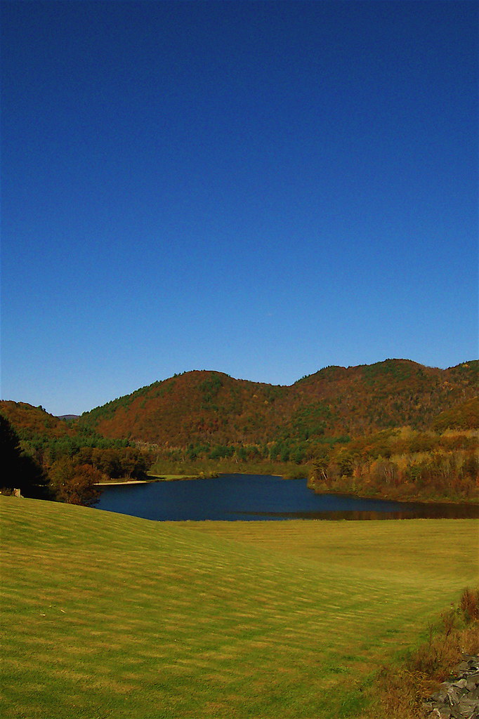
Vermont View
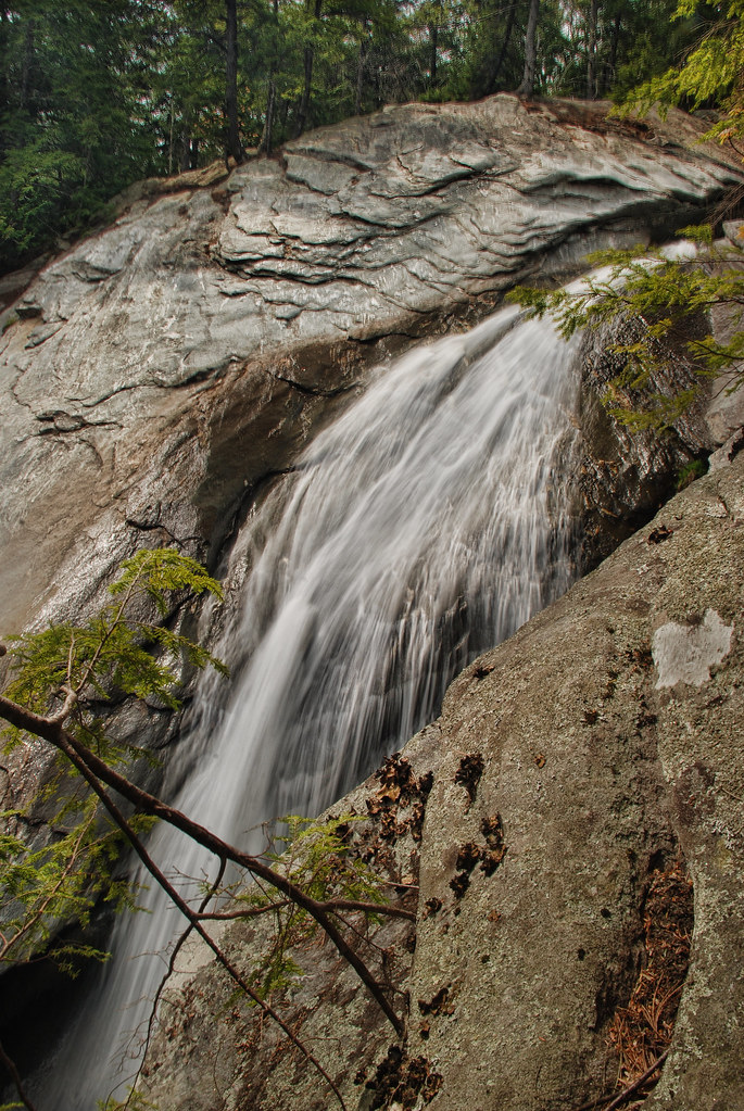
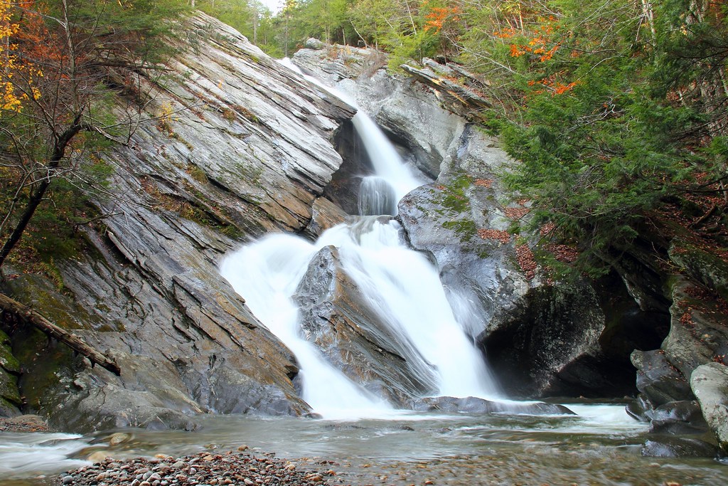
Mountain Goat View of Hamilton Falls

Getting a view

view from the living room

The Perfect Fake! (Explored!)

gold rush
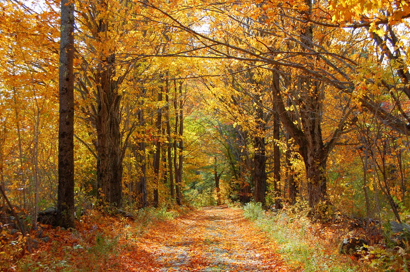
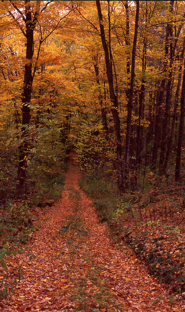
Country Roads (Explored)
Golden Frame
Trees 4a
VTTownshendDam018.jpg

∞
Vermont 005

The Dumplings

Never give up; for even rivers someday wash dams away...
I never think of the future - it comes soon enough...

Pikes Falls - Upper - Vermont
2013-07-19 10.41.18
VTTownshendDam019.jpg
VTTownshendDam007.jpg

2013-07-19 10.41.26
2013-07-19 10.41.45
2013-07-19 09.31.48
2013-07-19 10.44.20
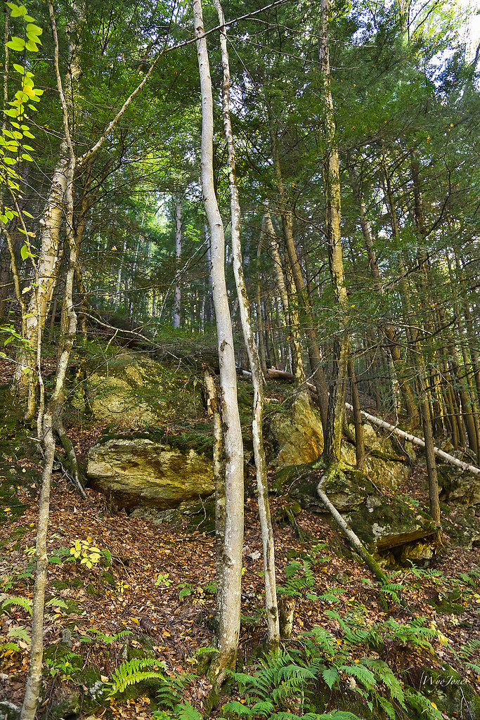
Trees and Metamorphic Rock
2013-07-19 09.31.51
Topographic Map of Burbee Pond Rd, Windham, VT, USA
Find elevation by address:

Places near Burbee Pond Rd, Windham, VT, USA:
1353 Burbee Pond Rd
531 Burbee Pond Rd
4980 Windham Hill Rd
4240 Windham Hill Rd
Windham
South Windham
24 Chase Rd, Windham, VT, USA
Little Ball Mountain
56 Hidden Newton Rd
254 Lawrence Dr
Magic Mountain Ski Area
505 Windham Hill Rd
West Townshend
273 Lowell Lake Rd
220 Pierce Ridge
175 Loon Cir Pvt
373 Winslow Dr
1713 Cabell Rd
389 Cobble Hill Rd
2220 Townshend Rd
Recent Searches:
- Elevation of Hercules Dr, Colorado Springs, CO, USA
- Elevation of Szlak pieszy czarny, Poland
- Elevation of Griffing Blvd, Biscayne Park, FL, USA
- Elevation of Kreuzburger Weg 13, Düsseldorf, Germany
- Elevation of Gateway Blvd SE, Canton, OH, USA
- Elevation of East W.T. Harris Boulevard, E W.T. Harris Blvd, Charlotte, NC, USA
- Elevation of West Sugar Creek, Charlotte, NC, USA
- Elevation of Wayland, NY, USA
- Elevation of Steadfast Ct, Daphne, AL, USA
- Elevation of Lagasgasan, X+CQH, Tiaong, Quezon, Philippines