Elevation of Wind Summit Pl, Las Cruces, NM, USA
Location: United States > New Mexico > Doña Ana County > Las Cruces >
Longitude: -106.70957
Latitude: 32.261052
Elevation: 1268m / 4160feet
Barometric Pressure: 87KPa
Elevation Map:
Satellite Map:
Related Photos:
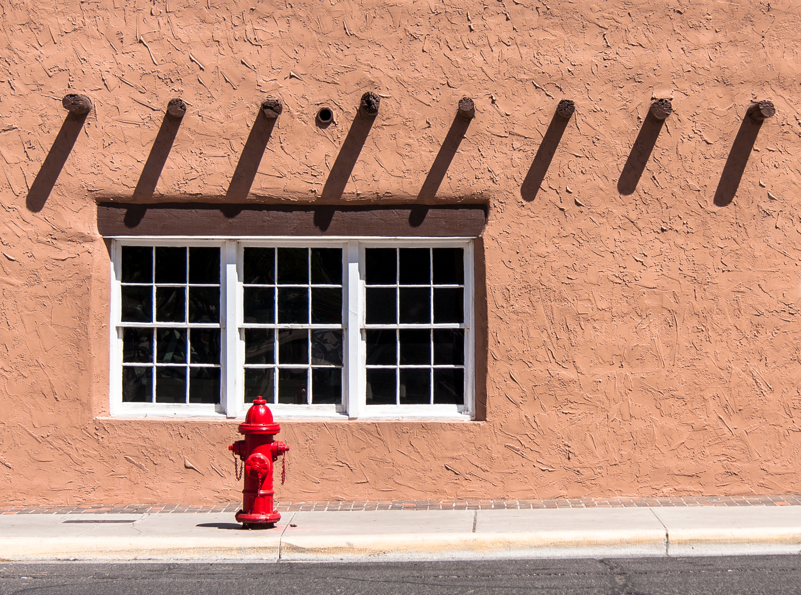
fire hydrant and windows

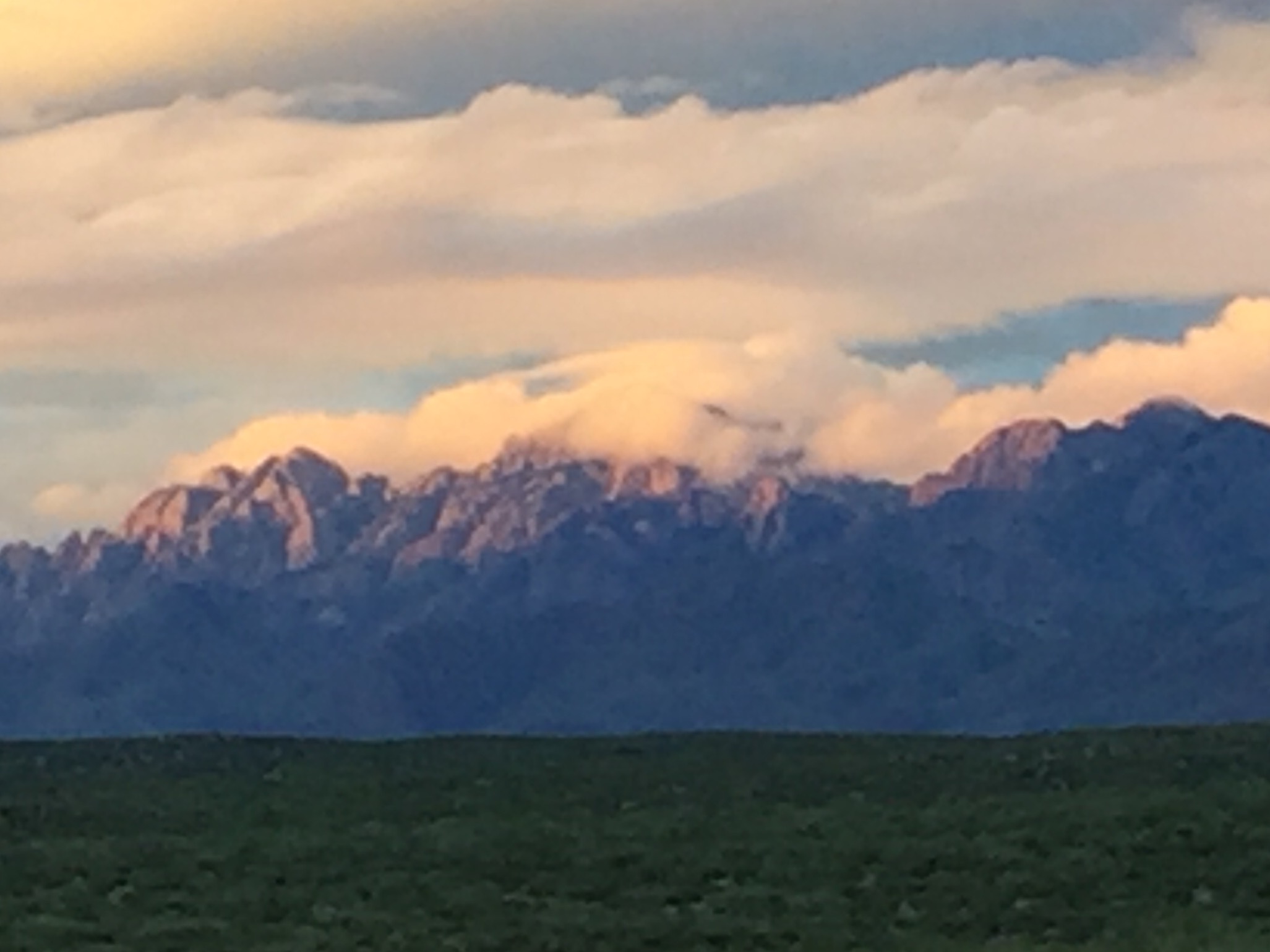
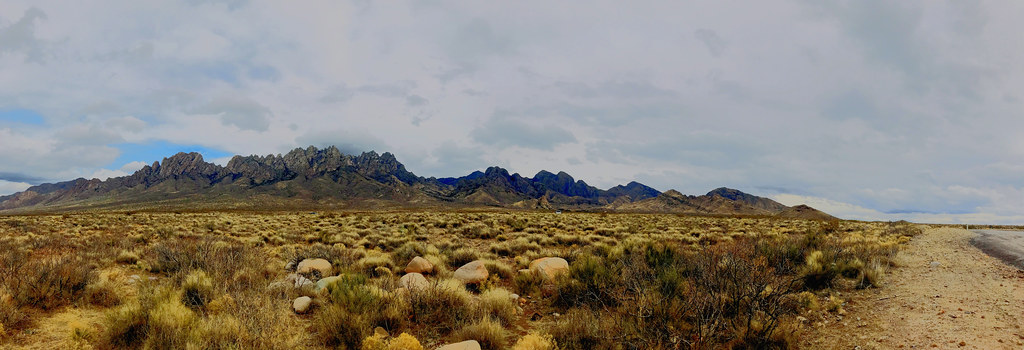
Organ Mountain Needles

Moon over Las Cruces and the Robledo and Doña Ana Mountains
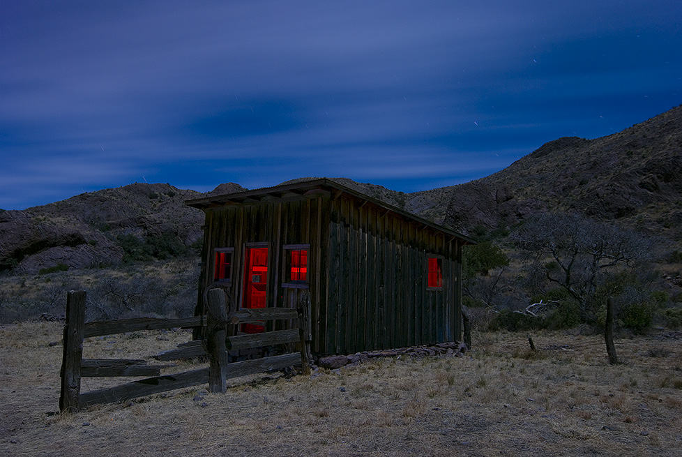
Coach House
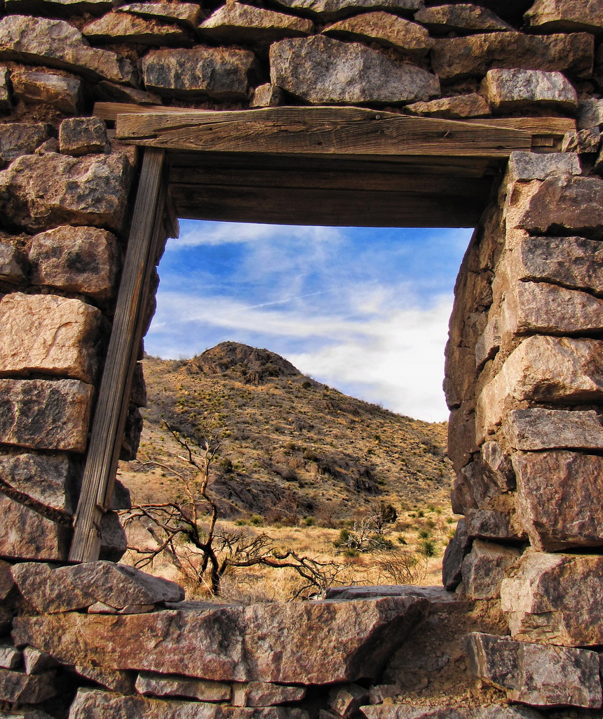
the view

Roadrunner in Flight Close View

Painted Sunrise

Van Patten Back Wall

Las Cruces, New Mexico

Las Cruces, NM

Moonrise Van Patten

RGB 7.0

Roadrunner in Flight Long View

Camp & Cactus

Achenbach Canyon hike-0614-Pano

Bar Canyon hike-154351

Bishop's Cap area hike-5559

Moonrise, Organ Mountains, New Mexico

La Posta de Mesilla

Las Cruces Inn - Las Cruces, New Mexico

Organ Mountains

Along the River

Mesilla Valley and the Rio Grande River
Mountains at sun down

Organs from the 'A'

closer to the organs

The Organ Mountains

the old plantation

The Mighty (dry) Rio Grande

the trail in

rainy day window

the trail back out
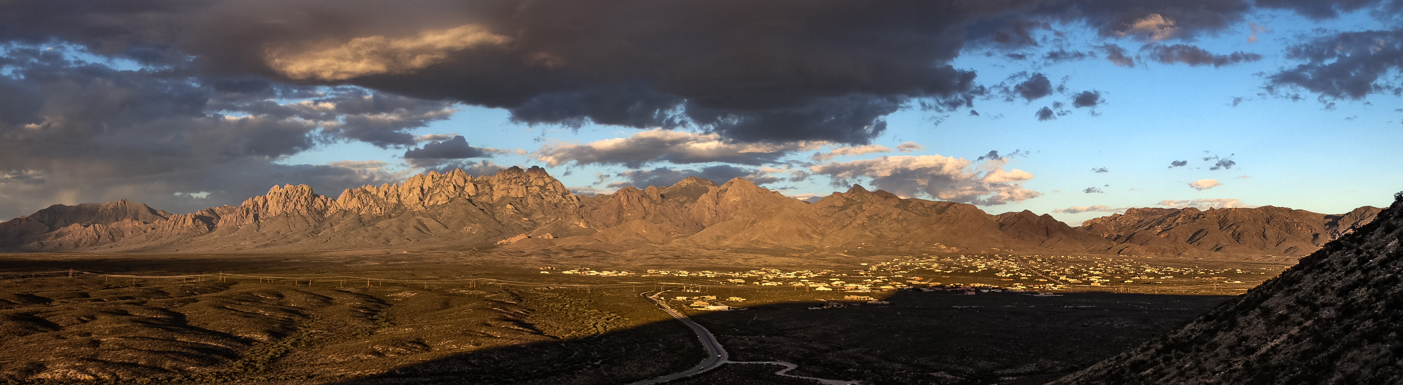
The Organ Mountains Panorama

cloudy season, Las Cruces

Rio Grande Reflections
Tortugas hike-090033

Sunrise in New Mexico

Las cruces New Mexico.
Topographic Map of Wind Summit Pl, Las Cruces, NM, USA
Find elevation by address:

Places near Wind Summit Pl, Las Cruces, NM, USA:
5416 Remington Rd
5455 Remington Rd
5266 Redman Rd
5512 Artist Rd
5889 Las Alturas Dr
4669 Falcon Dr
4911 Quail Run Ave
4015 Senna Dr
Nmsu Pan American Center
3241 Fairway Dr
New Mexico State University Admissions Office
New Mexico State University
Tortugas
1700 Salinas Dr
2800 Missouri Ave
1410 E Mesa Ave
University Park
Mesilla Valley Christian School
2250 Missouri Ave
Skeen Hall
Recent Searches:
- Elevation of Calais Dr, Del Mar, CA, USA
- Elevation of Placer Mine Ln, West Jordan, UT, USA
- Elevation of E 63rd St, New York, NY, USA
- Elevation of Elk City, OK, USA
- Elevation of Erika Dr, Windsor, CA, USA
- Elevation of Village Ln, Finleyville, PA, USA
- Elevation of 24 Oakland Rd #, Scotland, ON N0E 1R0, Canada
- Elevation of Deep Gap Farm Rd E, Mill Spring, NC, USA
- Elevation of Dog Leg Dr, Minden, NV, USA
- Elevation of Dog Leg Dr, Minden, NV, USA