Elevation of Williams Peak, Colorado, USA
Location: United States > Colorado > Summit County > Silverthorne >
Longitude: -106.20585
Latitude: 39.8774856
Elevation: 3510m / 11516feet
Barometric Pressure: 66KPa
Elevation Map:
Satellite Map:
Related Photos:
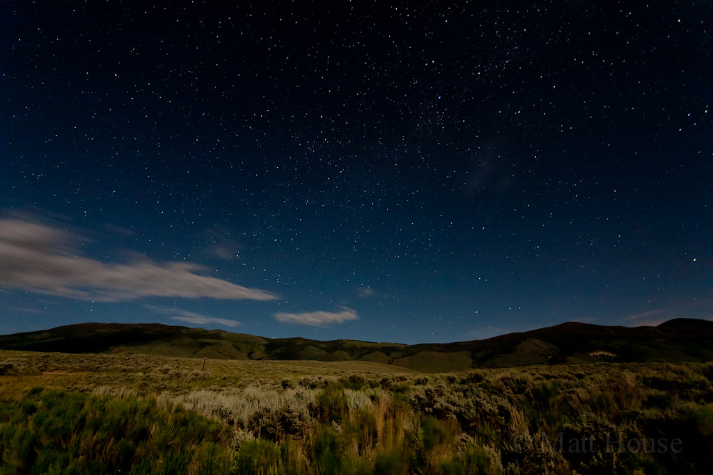
Green Mtn Reservoir Stars
Ute Pass (2) - Colorado

Going for a Ride
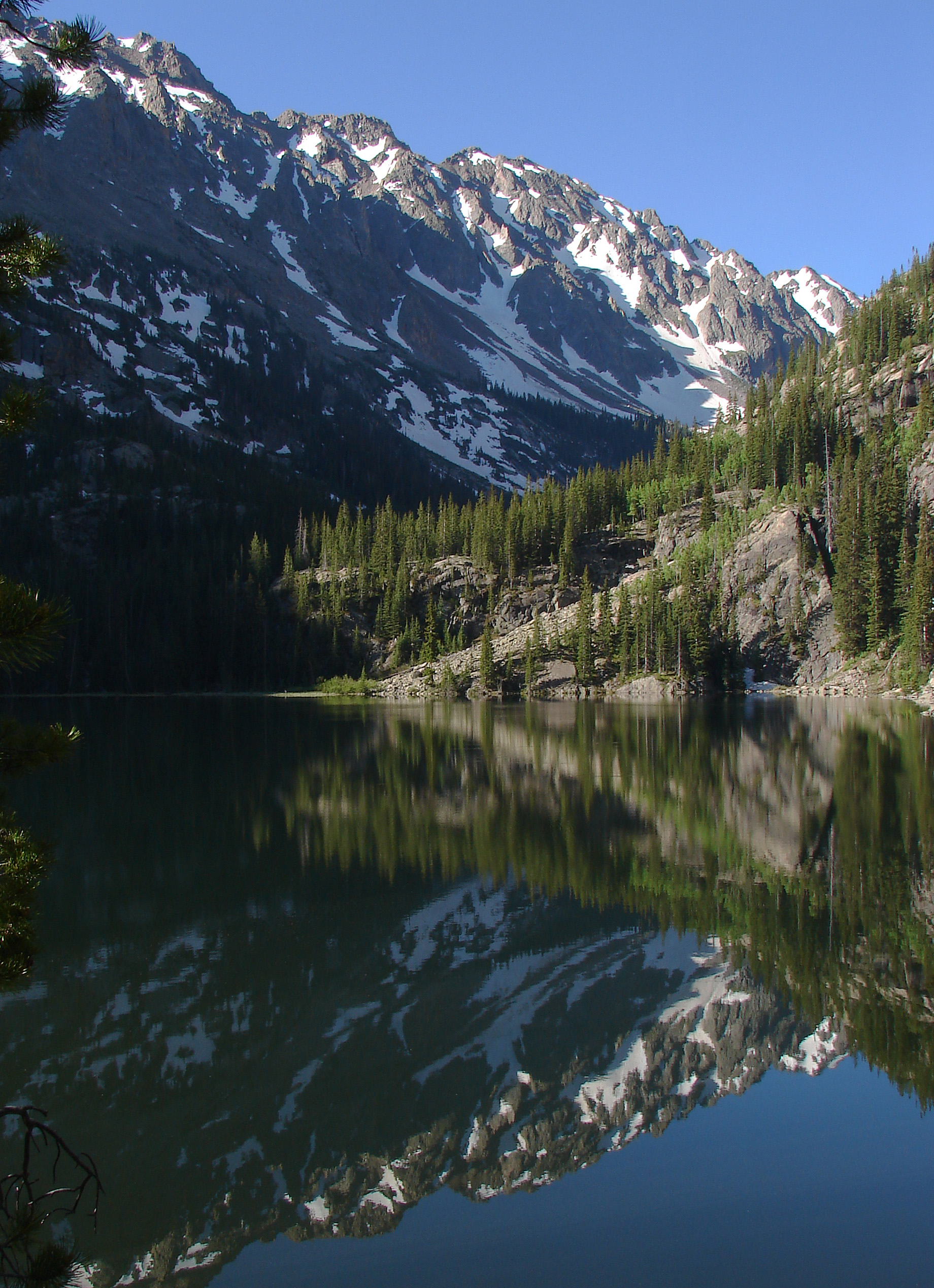
Slate Lake Reflection (Morning)

to Sleeping Indian view from promontory level.
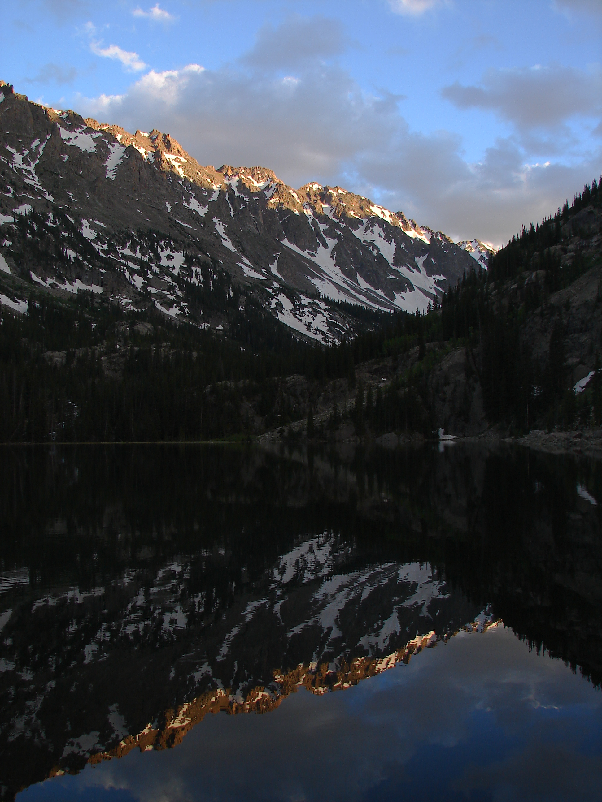
Slate Lake Reflection (Evening)
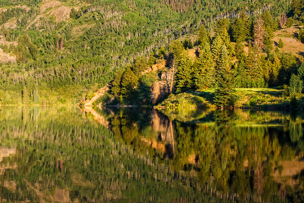
Mirror like reflection
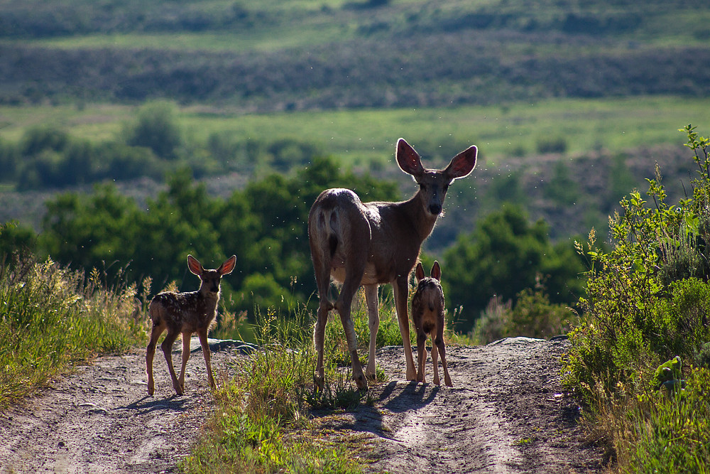
Doe and Her Fawn
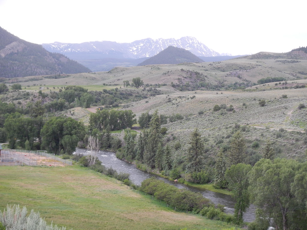
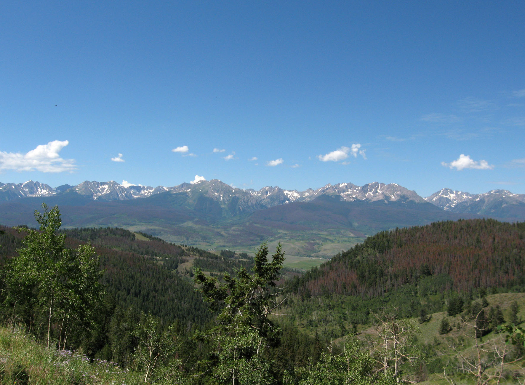
Mountain view
Topographic Map of Williams Peak, Colorado, USA
Find elevation by address:

Places near Williams Peak, Colorado, USA:
5234 Heeney Rd
Heeney
82 Dudley Rd, Silverthorne, CO, USA
County Road 373
Slate Creek Rd, Silverthorne, CO, USA
1006 Co Rd 341
Lawson Ridge
447 Co Rd 3
Co Hwy 30, Parshall, CO, USA
Mount Powell
Parshall
Keller Mountain
41457 Us-40
The Spider
22 Hart Trail
Hot Sulphur Springs
Summit Sky Ranch Sales Center
2200 Golden Eagle Rd
Dice Hill
Grand County
Recent Searches:
- Elevation of Corso Fratelli Cairoli, 35, Macerata MC, Italy
- Elevation of Tallevast Rd, Sarasota, FL, USA
- Elevation of 4th St E, Sonoma, CA, USA
- Elevation of Black Hollow Rd, Pennsdale, PA, USA
- Elevation of Oakland Ave, Williamsport, PA, USA
- Elevation of Pedrógão Grande, Portugal
- Elevation of Klee Dr, Martinsburg, WV, USA
- Elevation of Via Roma, Pieranica CR, Italy
- Elevation of Tavkvetili Mountain, Georgia
- Elevation of Hartfords Bluff Cir, Mt Pleasant, SC, USA