Elevation of Dice Hill, Colorado, USA
Location: United States > Colorado > Bond >
Longitude: -106.43892
Latitude: 39.9352639
Elevation: 2989m / 9806feet
Barometric Pressure: 70KPa
Elevation Map:
Satellite Map:
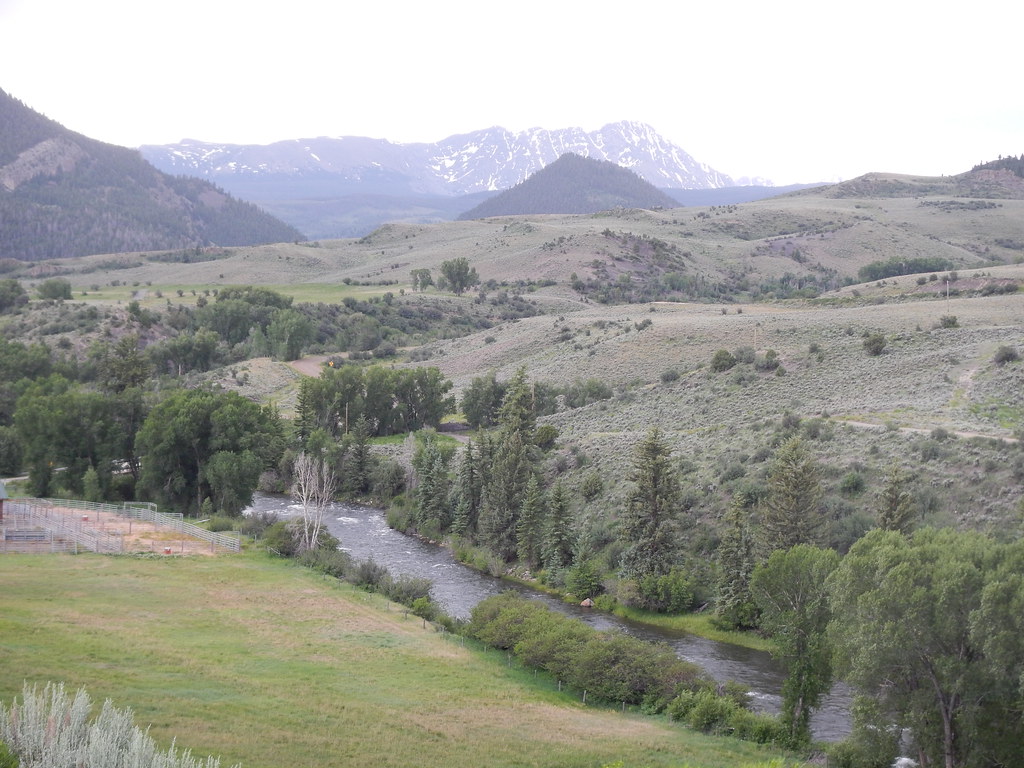
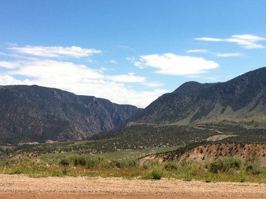
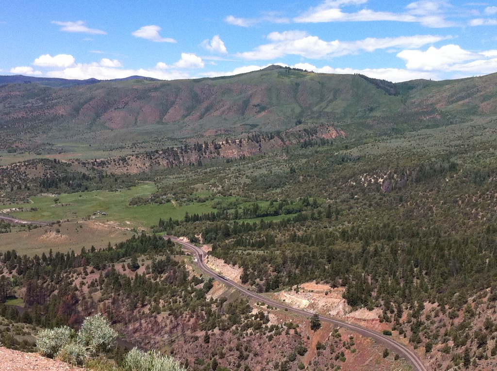
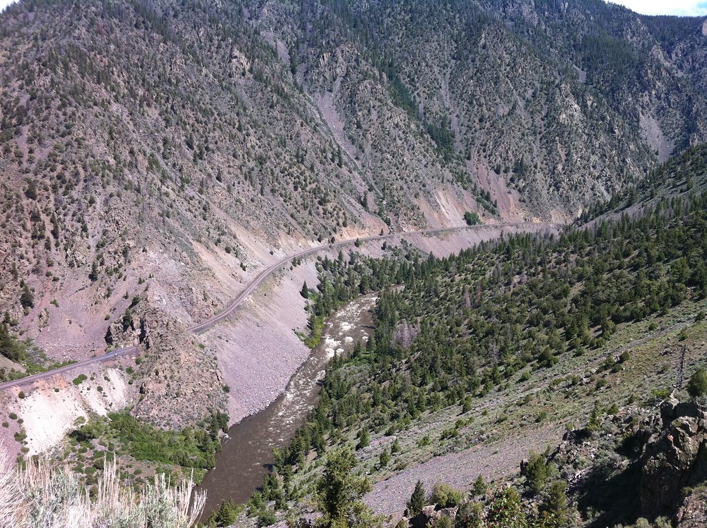
Related Photos:
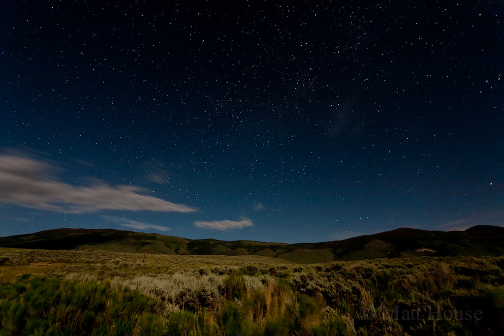
Green Mtn Reservoir Stars
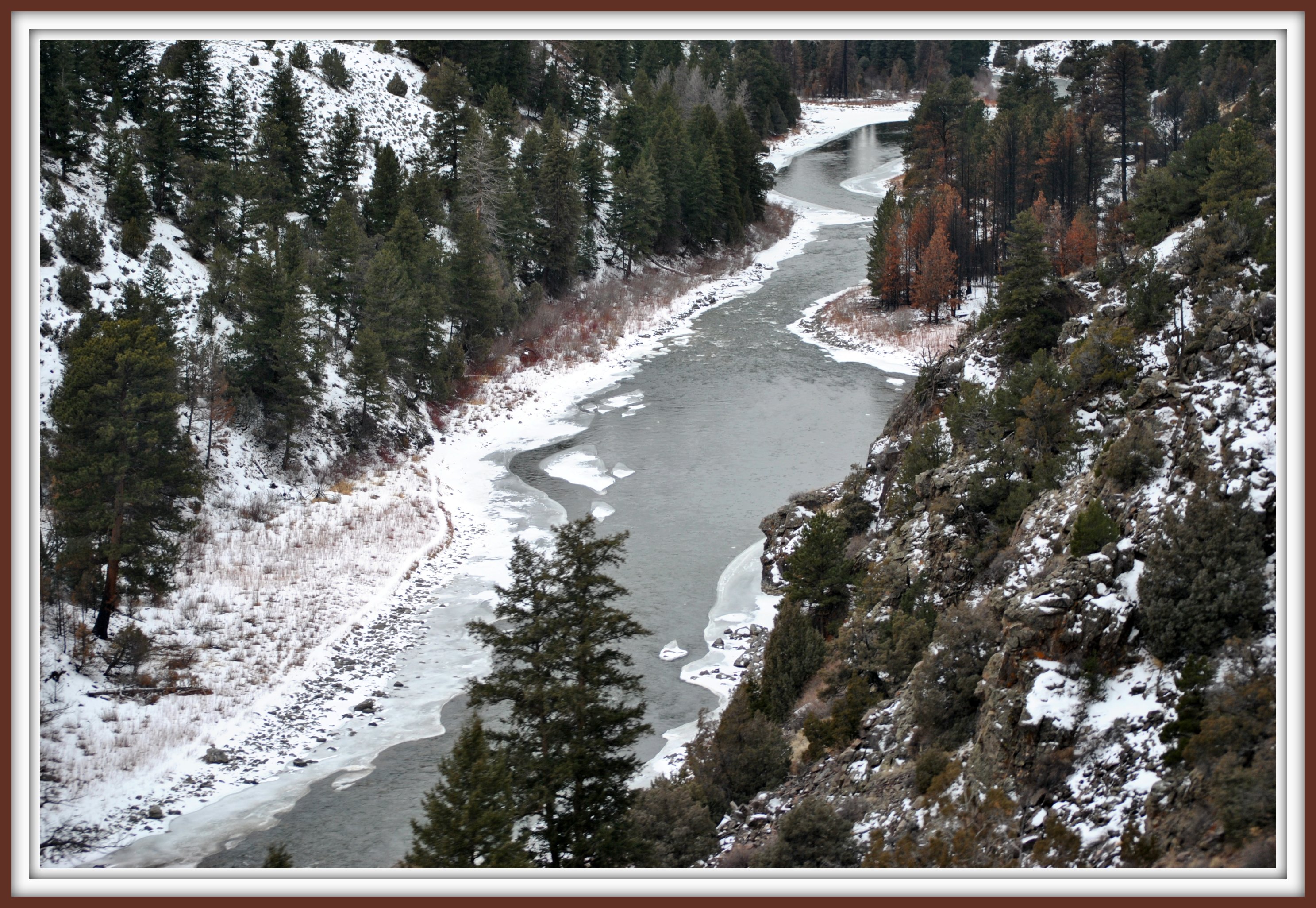
Gore Canyon Views From California Zephyr

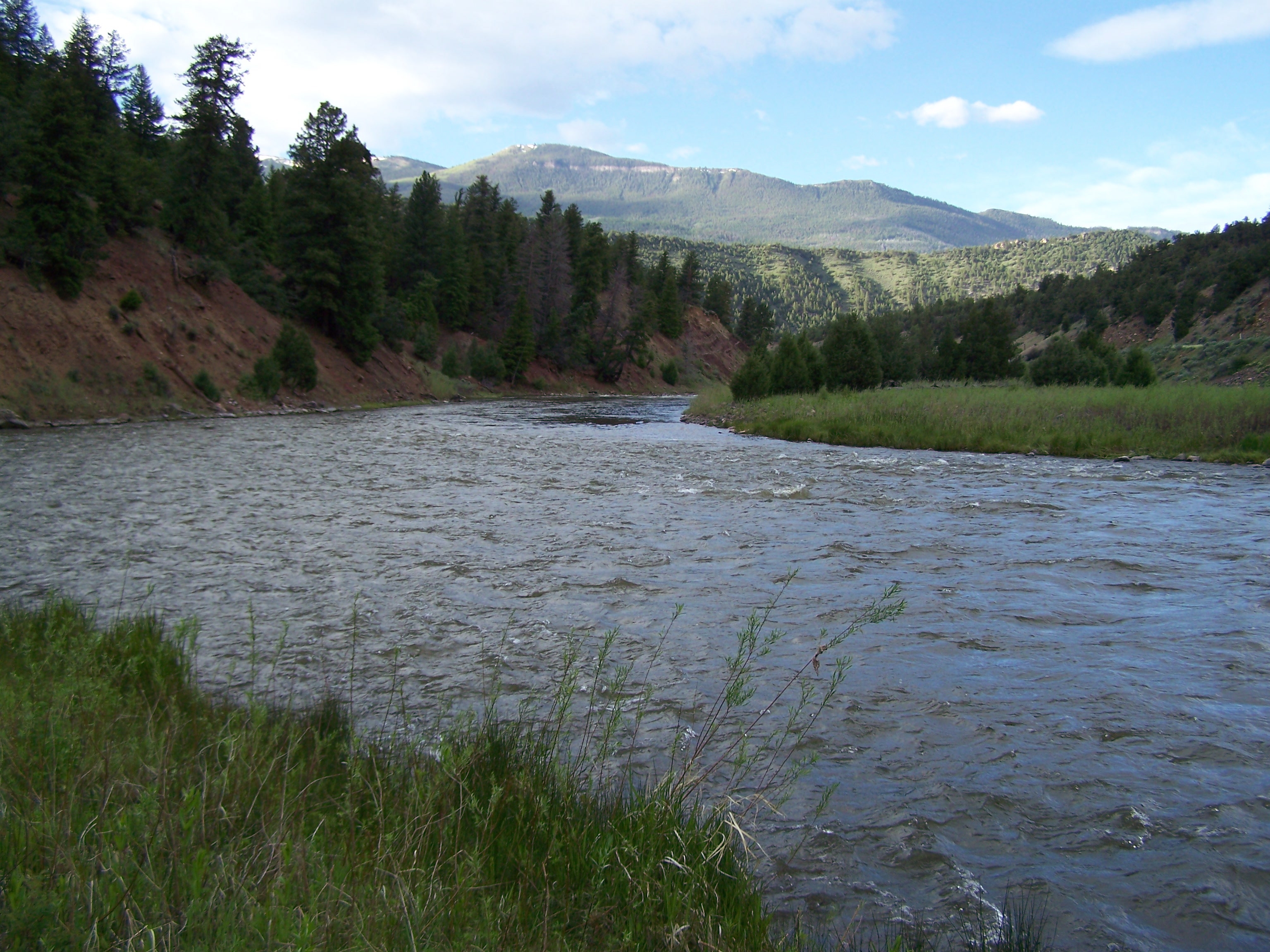
Colorado River
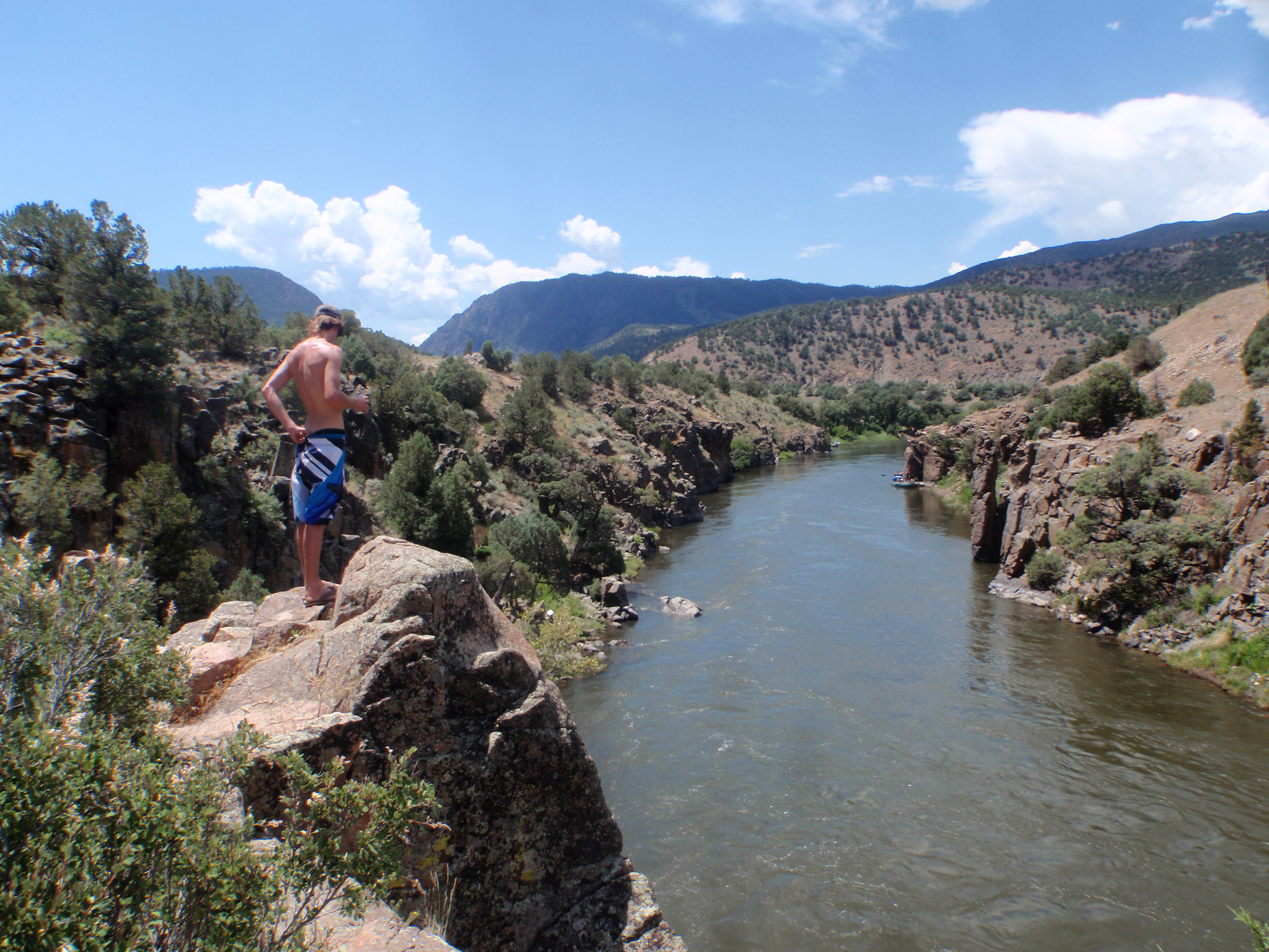
Colorado River

to Sleeping Indian view from promontory level.
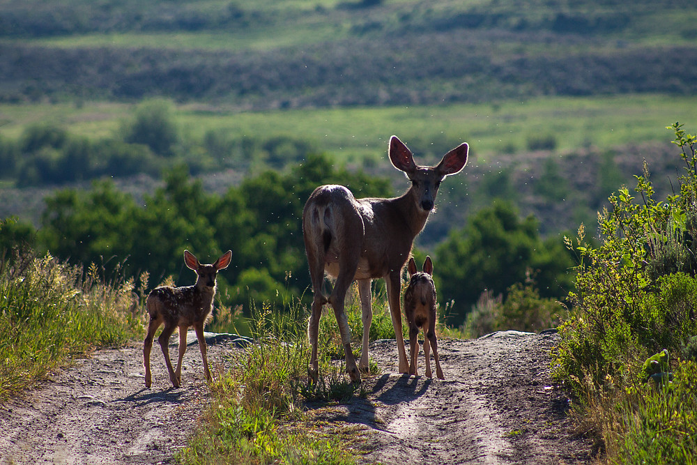
Doe and Her Fawn
Mountain view

Mirror like reflection
View from Trough Road
View from Trough Road
View from Trough Road

Feather Cloud
The Island
Topographic Map of Dice Hill, Colorado, USA
Find elevation by address:

Places near Dice Hill, Colorado, USA:
Lawson Ridge
Piney Peak
105 2nd St
Kremmling
82 Dudley Rd, Silverthorne, CO, USA
Heeney
Slate Mountain
5234 Heeney Rd
370 Co Rd 134
County Road 130
County Road 373
Mount Powell
Yarmony Mountain
Barlow Drive
830 Co Rd 165
Williams Peak
Red And White Mountain
Copper Spur Rd, Bond, CO, USA
Bond
The Spider
Recent Searches:
- Elevation of Corso Fratelli Cairoli, 35, Macerata MC, Italy
- Elevation of Tallevast Rd, Sarasota, FL, USA
- Elevation of 4th St E, Sonoma, CA, USA
- Elevation of Black Hollow Rd, Pennsdale, PA, USA
- Elevation of Oakland Ave, Williamsport, PA, USA
- Elevation of Pedrógão Grande, Portugal
- Elevation of Klee Dr, Martinsburg, WV, USA
- Elevation of Via Roma, Pieranica CR, Italy
- Elevation of Tavkvetili Mountain, Georgia
- Elevation of Hartfords Bluff Cir, Mt Pleasant, SC, USA