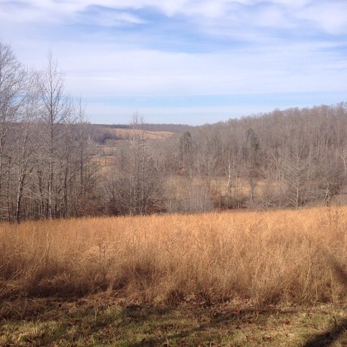
Elevation of Williams Hollow Rd, Iron City, TN, USA
Location: United States > Tennessee > Wayne County > Iron City >
Longitude: -87.620497
Latitude: 35.121796
Elevation: 236m / 774feet
Barometric Pressure: 99KPa
Related Photos:
Topographic Map of Williams Hollow Rd, Iron City, TN, USA
Find elevation by address:

Places near Williams Hollow Rd, Iron City, TN, USA:
8210 Williams Hollow Rd
California Branch Rd, Westpoint, TN, USA
Westpoint
Chisholm Rd, Iron City, TN, USA
Mount Nebo
Iron City
191 Mt Nebo Rd
Lauderdale County 7, Florence, AL, USA
Co Rd, Killen, AL, USA
Co Rd 47, Florence, AL, USA
Loretto
Mt Zion Rd, Florence, AL, USA
765 Co Rd 316
Chisholm Rd, Florence, AL, USA
Wright Ridge Rd, Cypress Inn, TN, USA
11219 Co Rd 47
Rayburn Creek Rd, Collinwood, TN, USA
Cypress Inn
2700 Co Rd 24
880 Co Rd 118
Recent Searches:
- Elevation of Corso Fratelli Cairoli, 35, Macerata MC, Italy
- Elevation of Tallevast Rd, Sarasota, FL, USA
- Elevation of 4th St E, Sonoma, CA, USA
- Elevation of Black Hollow Rd, Pennsdale, PA, USA
- Elevation of Oakland Ave, Williamsport, PA, USA
- Elevation of Pedrógão Grande, Portugal
- Elevation of Klee Dr, Martinsburg, WV, USA
- Elevation of Via Roma, Pieranica CR, Italy
- Elevation of Tavkvetili Mountain, Georgia
- Elevation of Hartfords Bluff Cir, Mt Pleasant, SC, USA

