Elevation of Willey Fork Rd, Metz, WV, USA
Location: United States > West Virginia > Wetzel County > >
Longitude: -80.467515
Latitude: 39.622649
Elevation: 327m / 1073feet
Barometric Pressure: 97KPa
Elevation Map:
Satellite Map:
Related Photos:
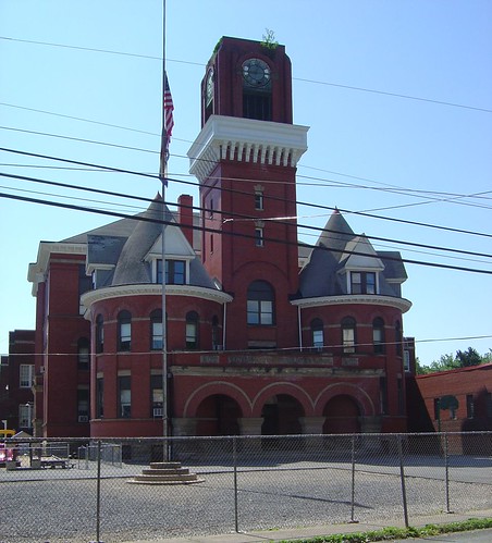
Mannington Elementary
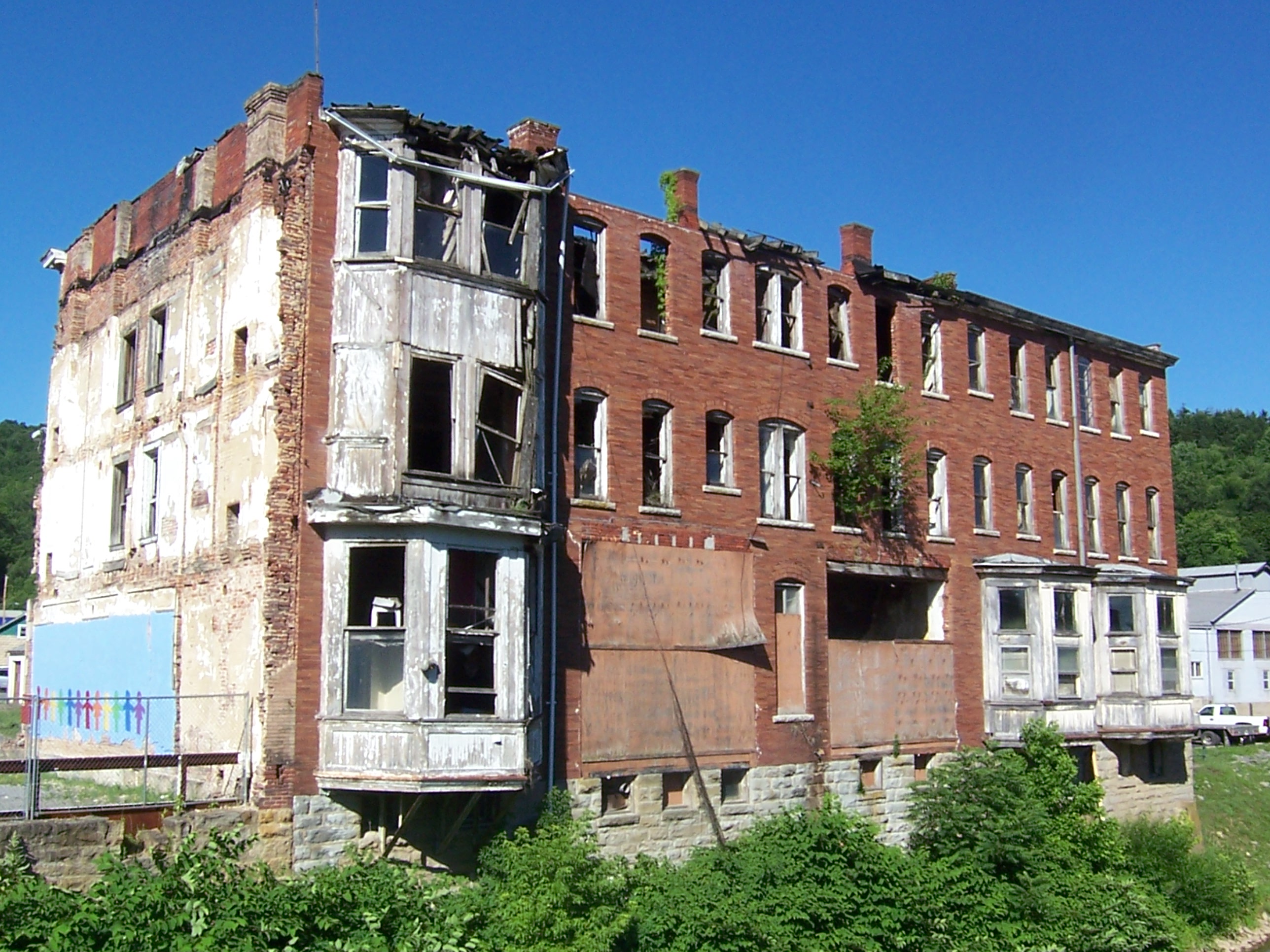
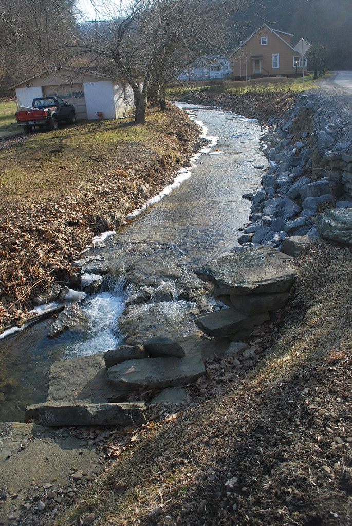
Creek View of Abandoned Building, Water St
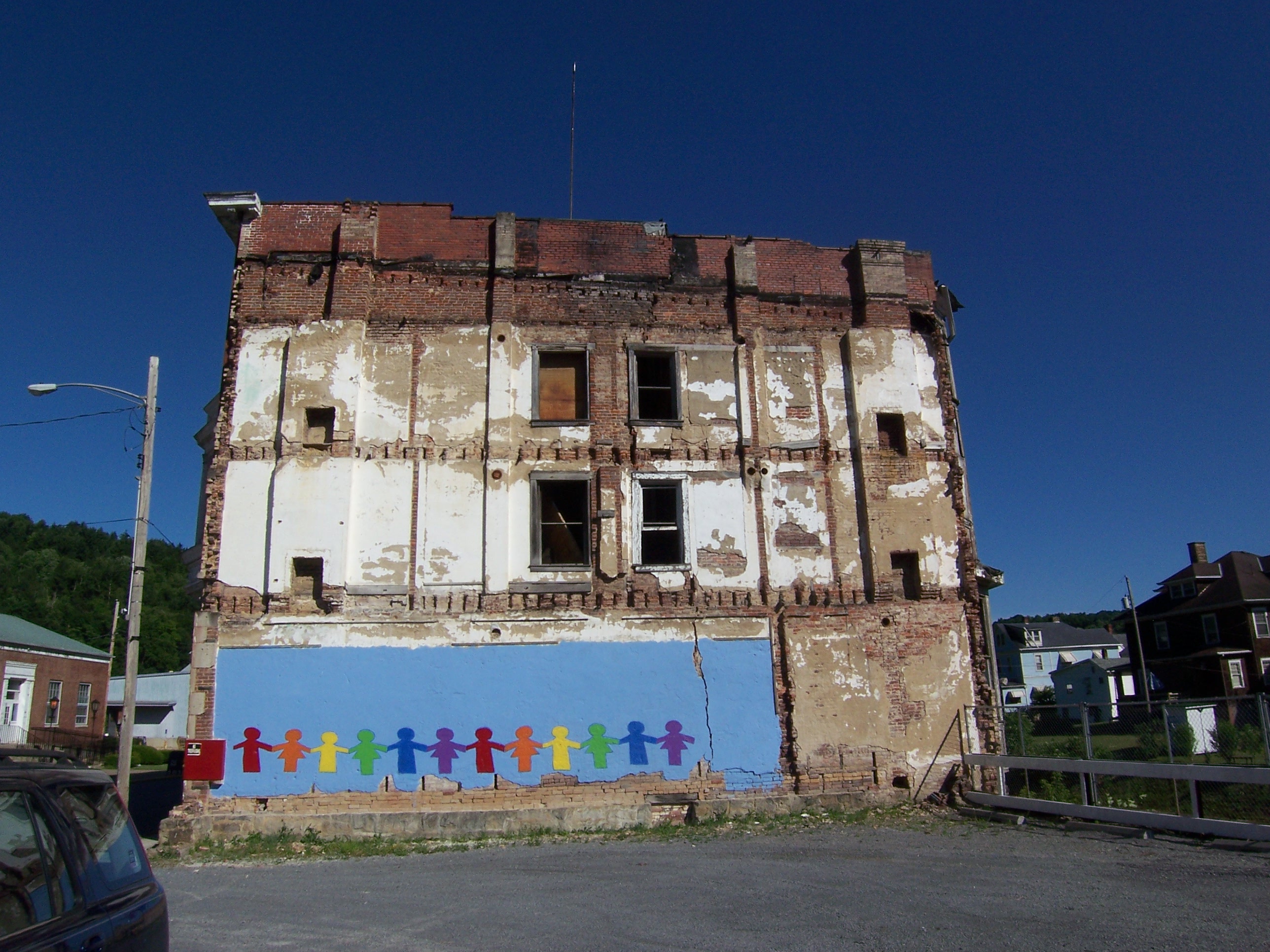
Rainbow View of Abandoned Building, Water St
2004-07-10-p7120051

2004-07-10-p7120048
mannington_a-2000-11-23-02

02/08/2010
04/25/2010
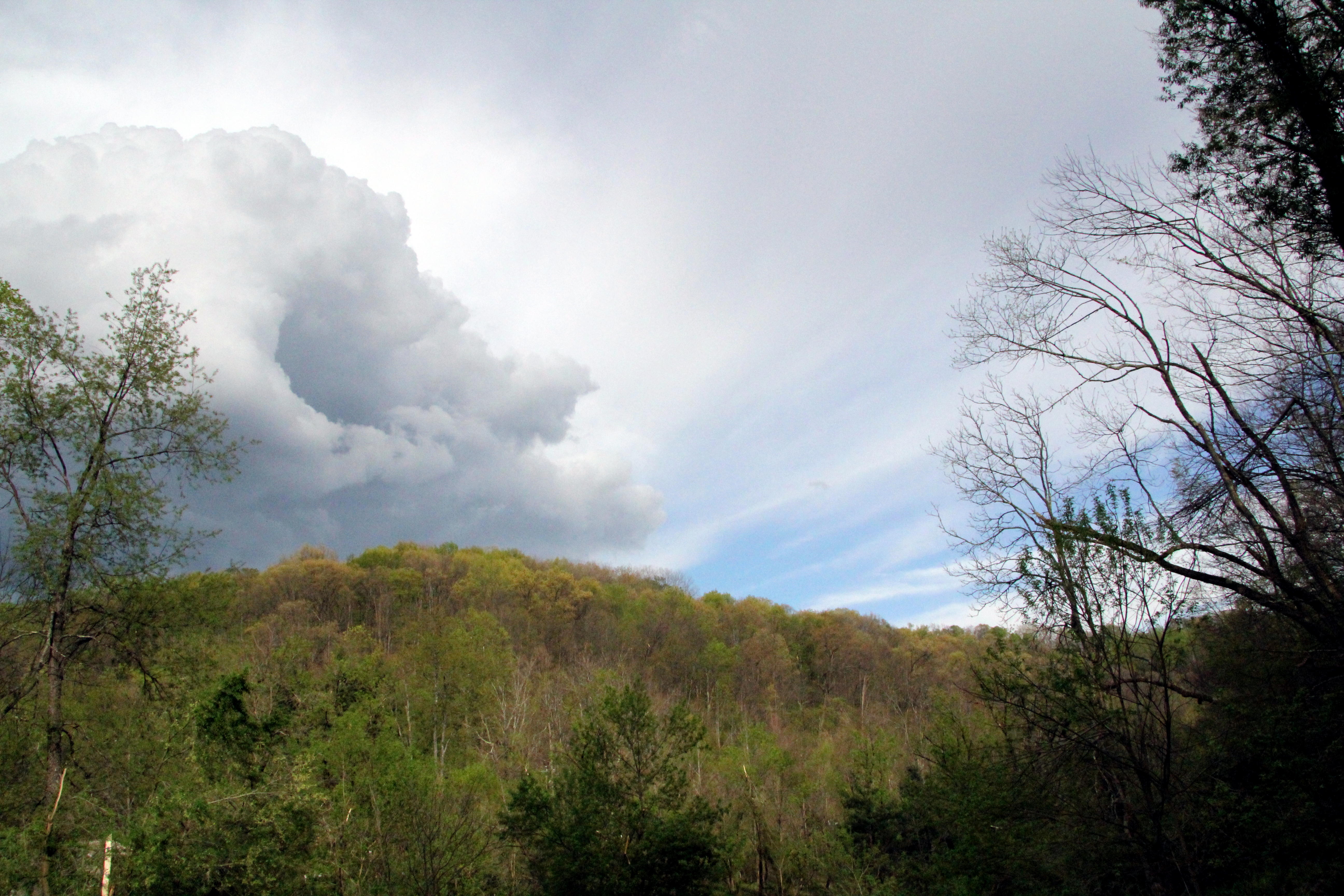
huff and puff
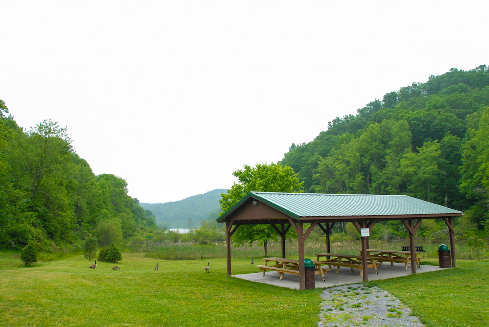
Curtisville Pavillion and Campground
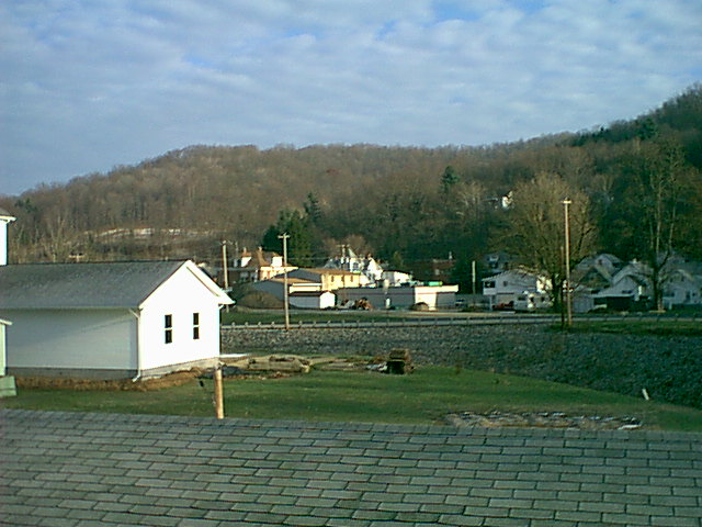
looking down on the town

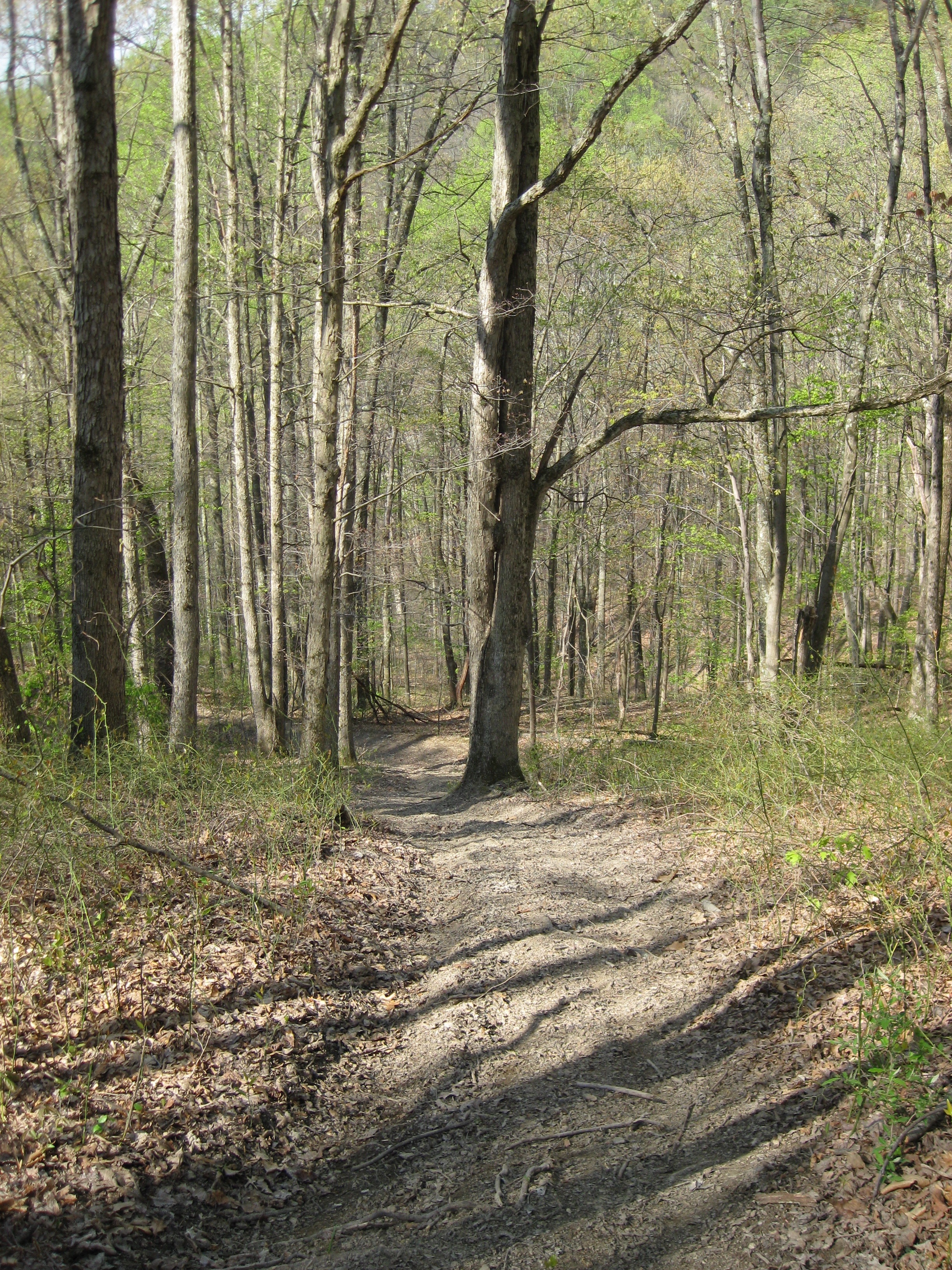
into the woods

Eve on the Hay Field
looking down on the town
Old Friends

The King of the Guinea Hens
photo 3
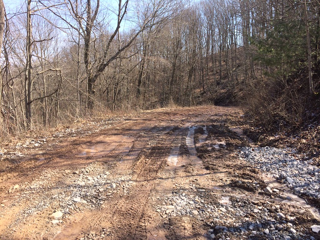
photo 1
Burner Run of Fish Creek
The Corner of PA
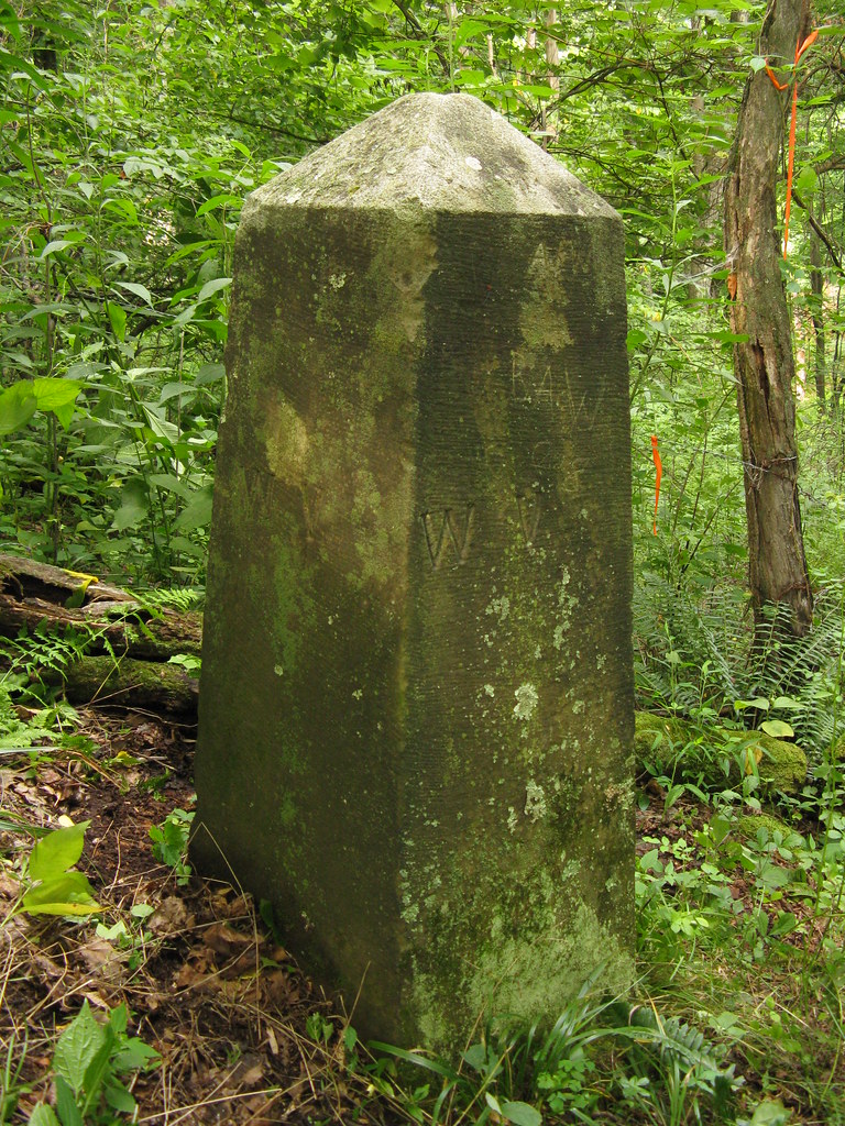
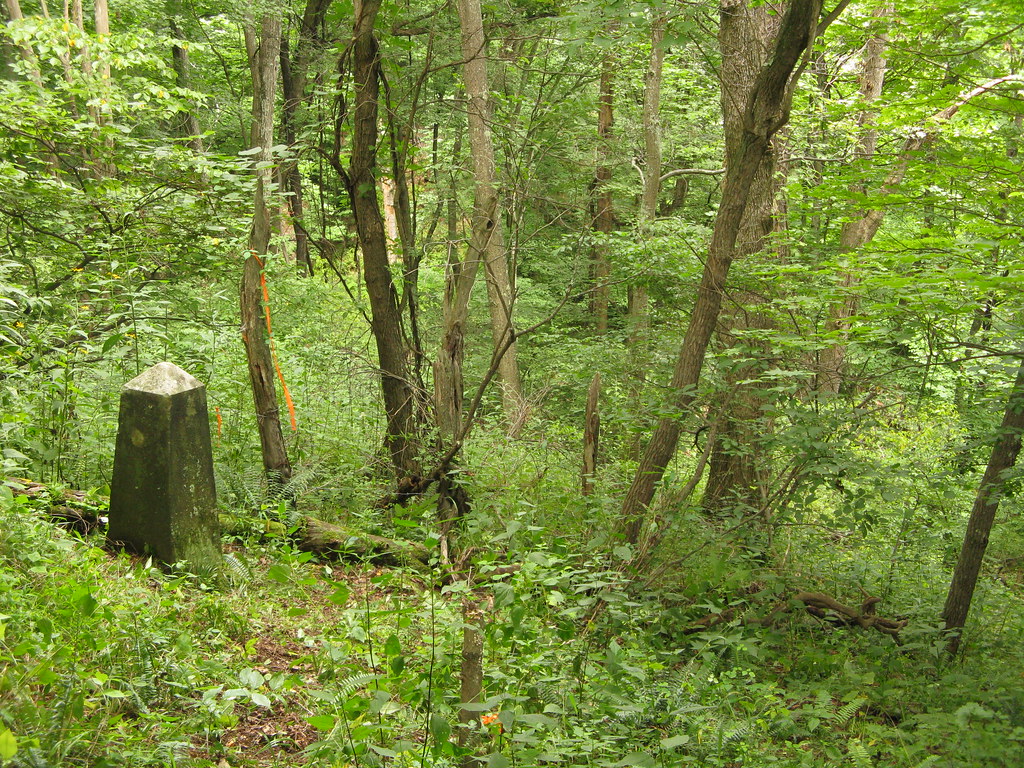
Western End/Terminus of the Mason-Dixon Line
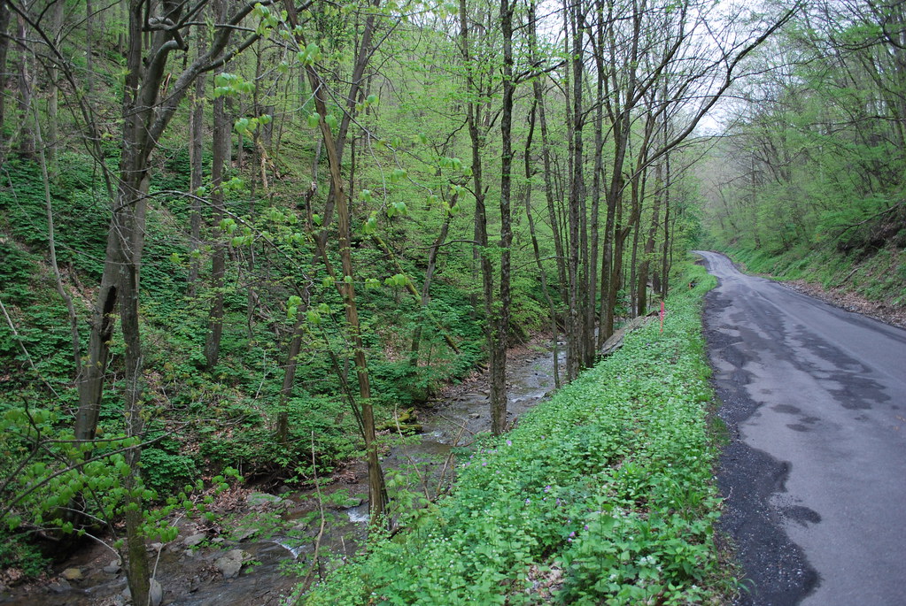
Old WV 89 in Amos Hollow
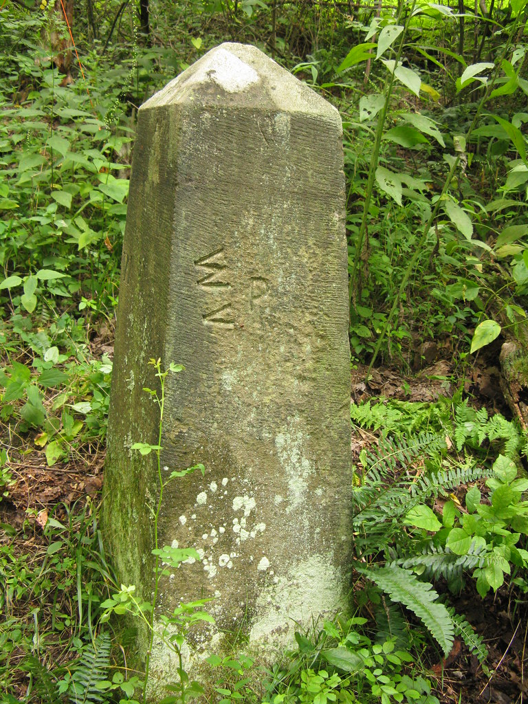
Western End/Terminus of the Mason-Dixon Line

Almost Heaven, West Virginia
Topographic Map of Willey Fork Rd, Metz, WV, USA
Find elevation by address:

Places near Willey Fork Rd, Metz, WV, USA:
Harker Run Road
Morgan Run, Burton, WV, USA
Burton
Kodol Rd, 2, WV, USA
N Fork Rd, Smithfield, WV, USA
Littleton
Curtisville Pike, Mannington, WV, USA
Metz
235 Curtisville Pike
9929 Hornet Hwy
Mannington Rd, Smithfield, WV, USA
Freeport Township
73 Postle Ridge, 2, WV, USA
Miller Run Rd, 2, WV, USA
1, WV, USA
T, New Freeport, PA, USA
New Freeport
Mannington
Water St, Mannington, WV, USA
Smithfield
Recent Searches:
- Elevation of Corso Fratelli Cairoli, 35, Macerata MC, Italy
- Elevation of Tallevast Rd, Sarasota, FL, USA
- Elevation of 4th St E, Sonoma, CA, USA
- Elevation of Black Hollow Rd, Pennsdale, PA, USA
- Elevation of Oakland Ave, Williamsport, PA, USA
- Elevation of Pedrógão Grande, Portugal
- Elevation of Klee Dr, Martinsburg, WV, USA
- Elevation of Via Roma, Pieranica CR, Italy
- Elevation of Tavkvetili Mountain, Georgia
- Elevation of Hartfords Bluff Cir, Mt Pleasant, SC, USA