Elevation of Morgan Run, Burton, WV, USA
Location: United States > West Virginia > Wetzel County > > Burton >
Longitude: -80.503089
Latitude: 39.592818
Elevation: 296m / 971feet
Barometric Pressure: 98KPa
Elevation Map:
Satellite Map:
Related Photos:
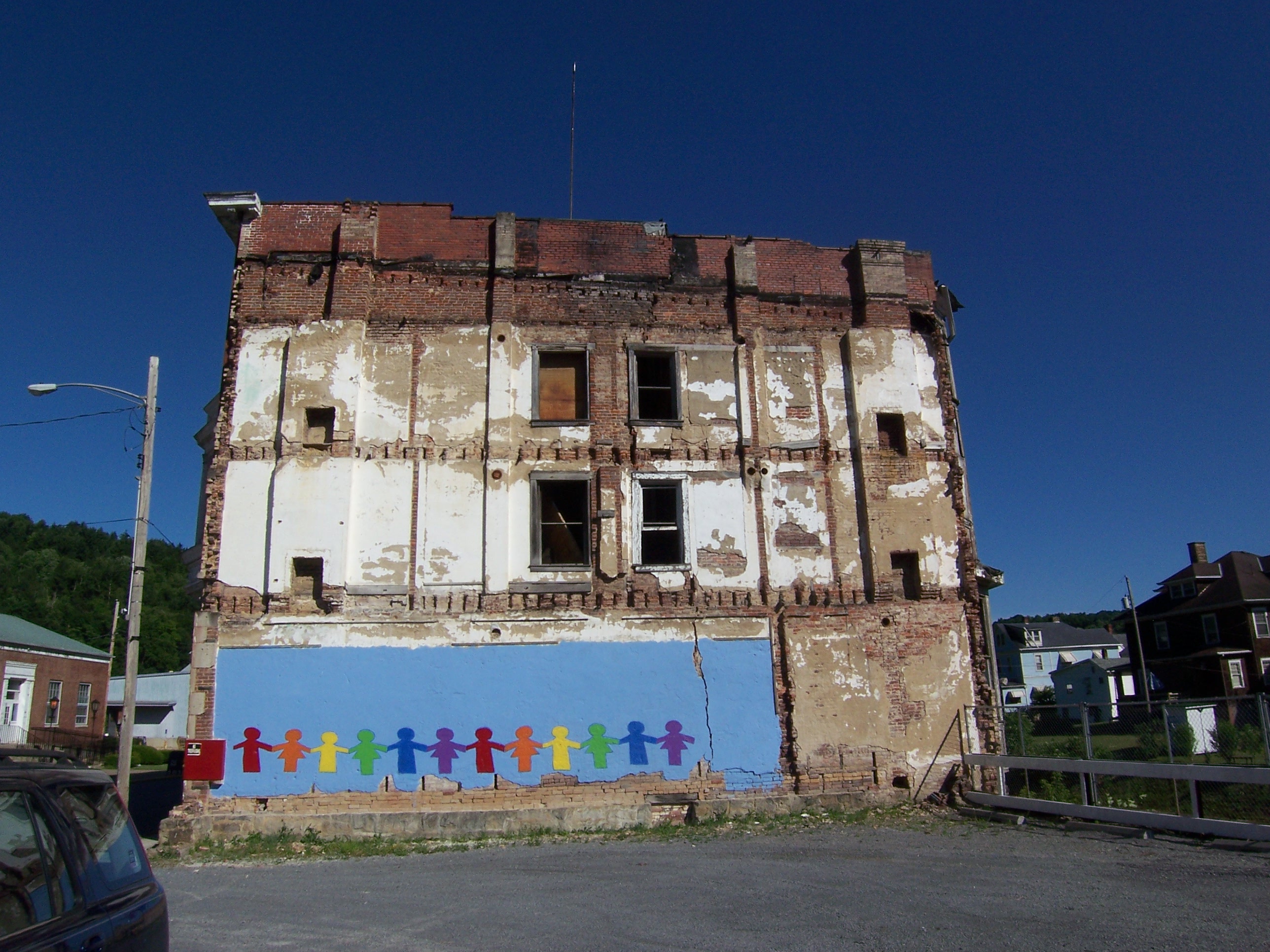
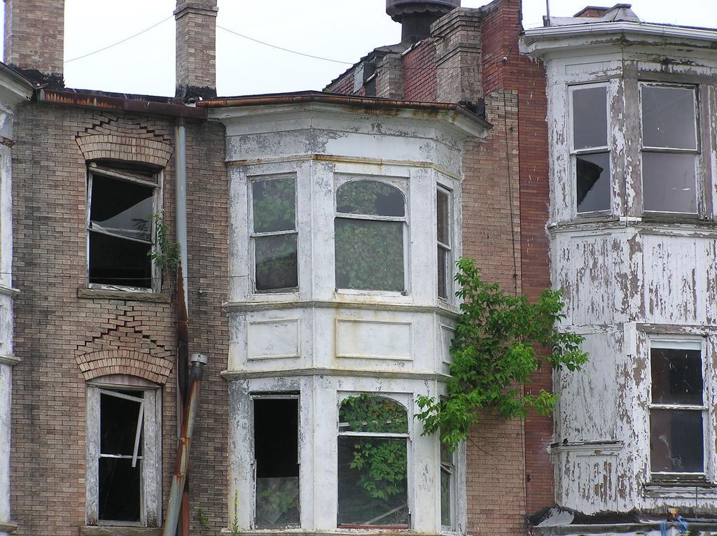
Rainbow View of Abandoned Building, Water St
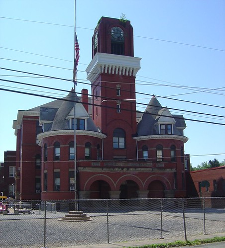
Mannington Elementary
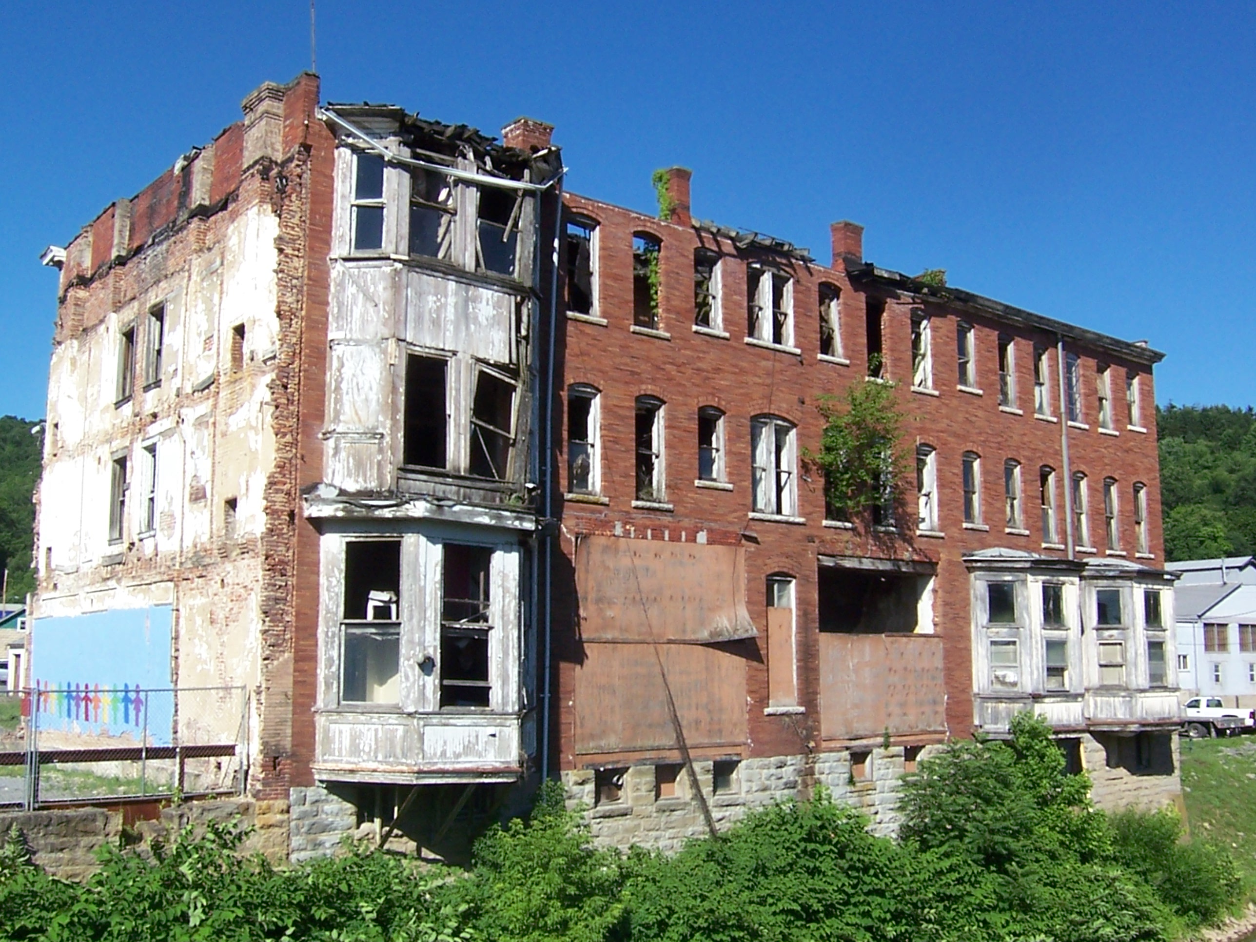
Creek View of Abandoned Building, Water St
2004-07-10-p7120051
2004-07-10-p7120048
mannington_a-2000-11-23-02
02/08/2010
04/25/2010
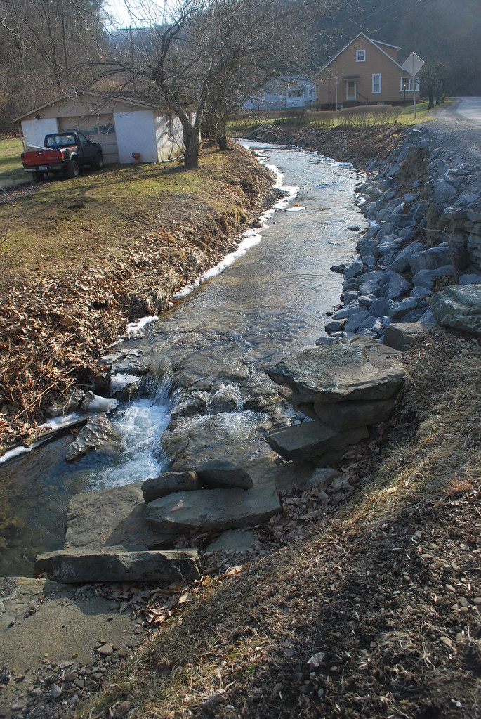
Burner Run of Fish Creek

Bridge 1064-25
The Corner of PA

Bridge 1064-05

Bridge 1064-15
huff and puff
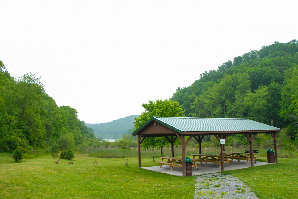
Curtisville Pavillion and Campground

Bridge 1064-13

Bridge 1064-03
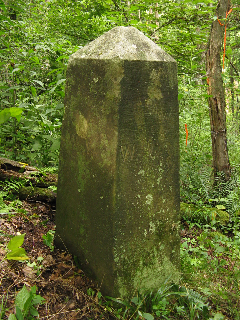
Western End/Terminus of the Mason-Dixon Line
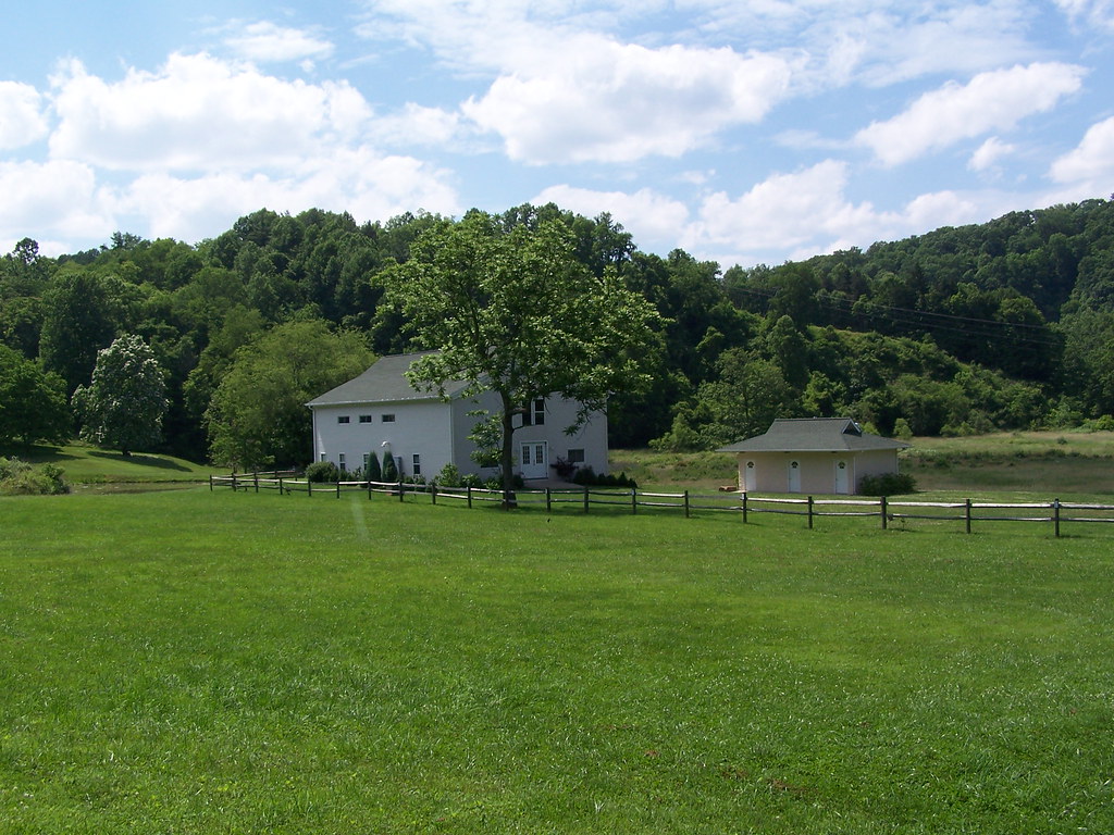
Lantz Farm & Nature Preserve WMA
Lantz Farm & Nature Preserve WMA

Almost Heaven, West Virginia
Lantz Farm & Nature Preserve WMA
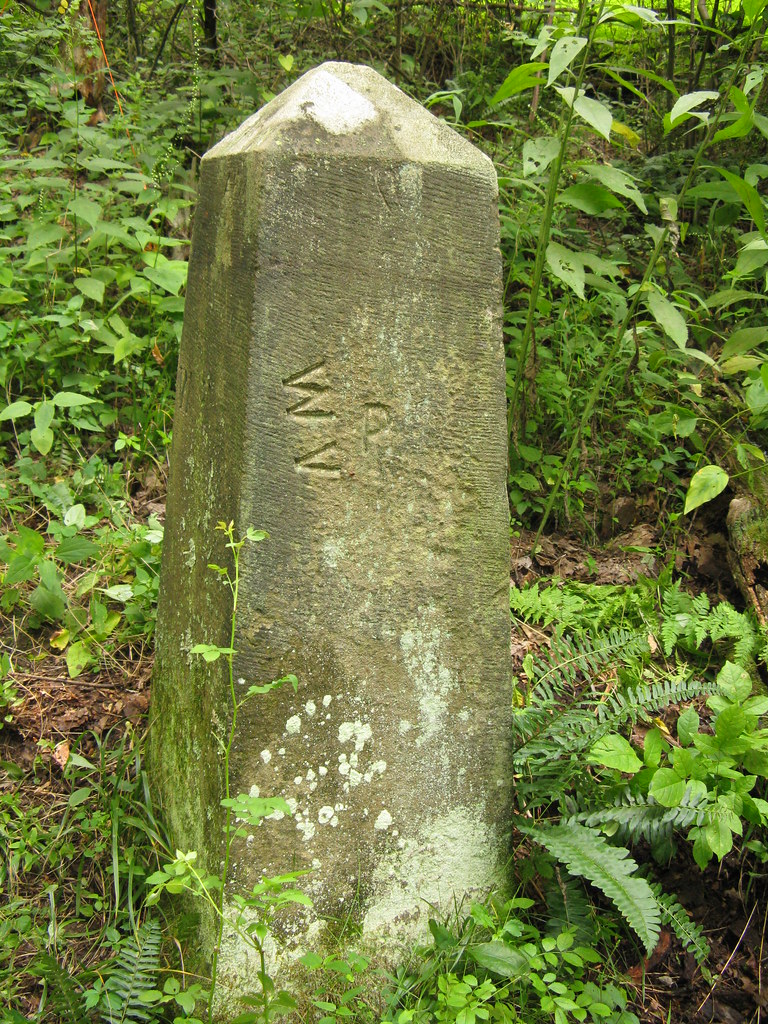
Western End/Terminus of the Mason-Dixon Line
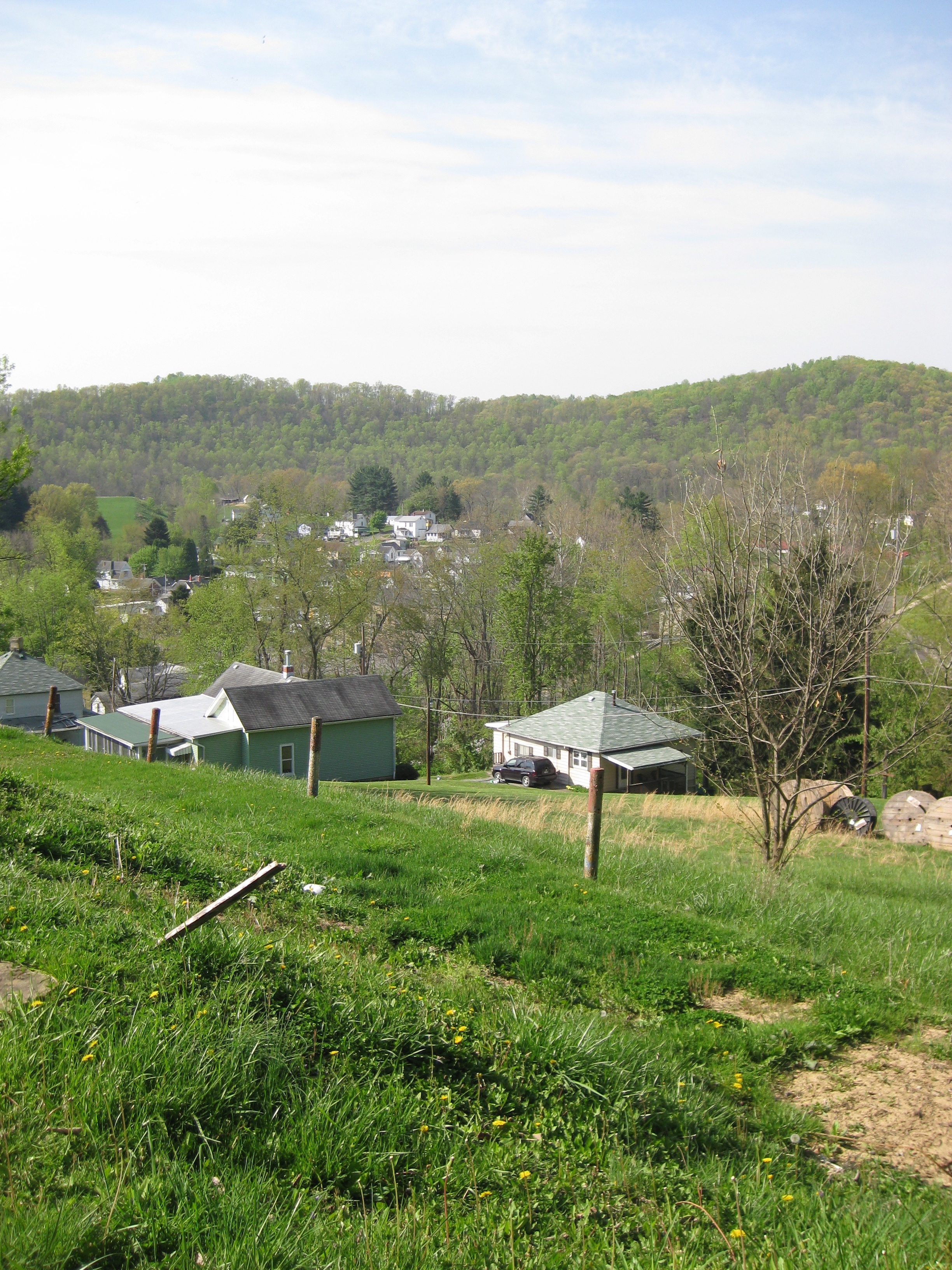
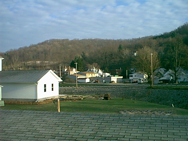
looking down on the town

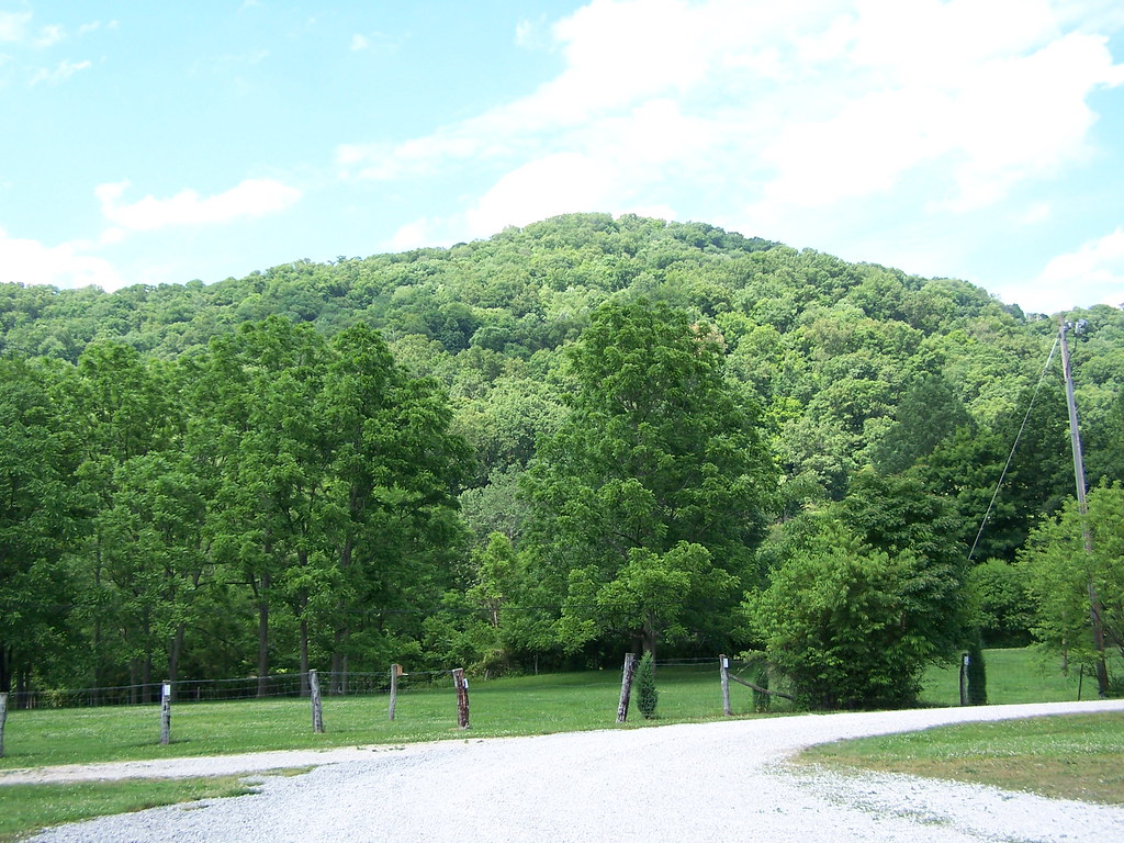
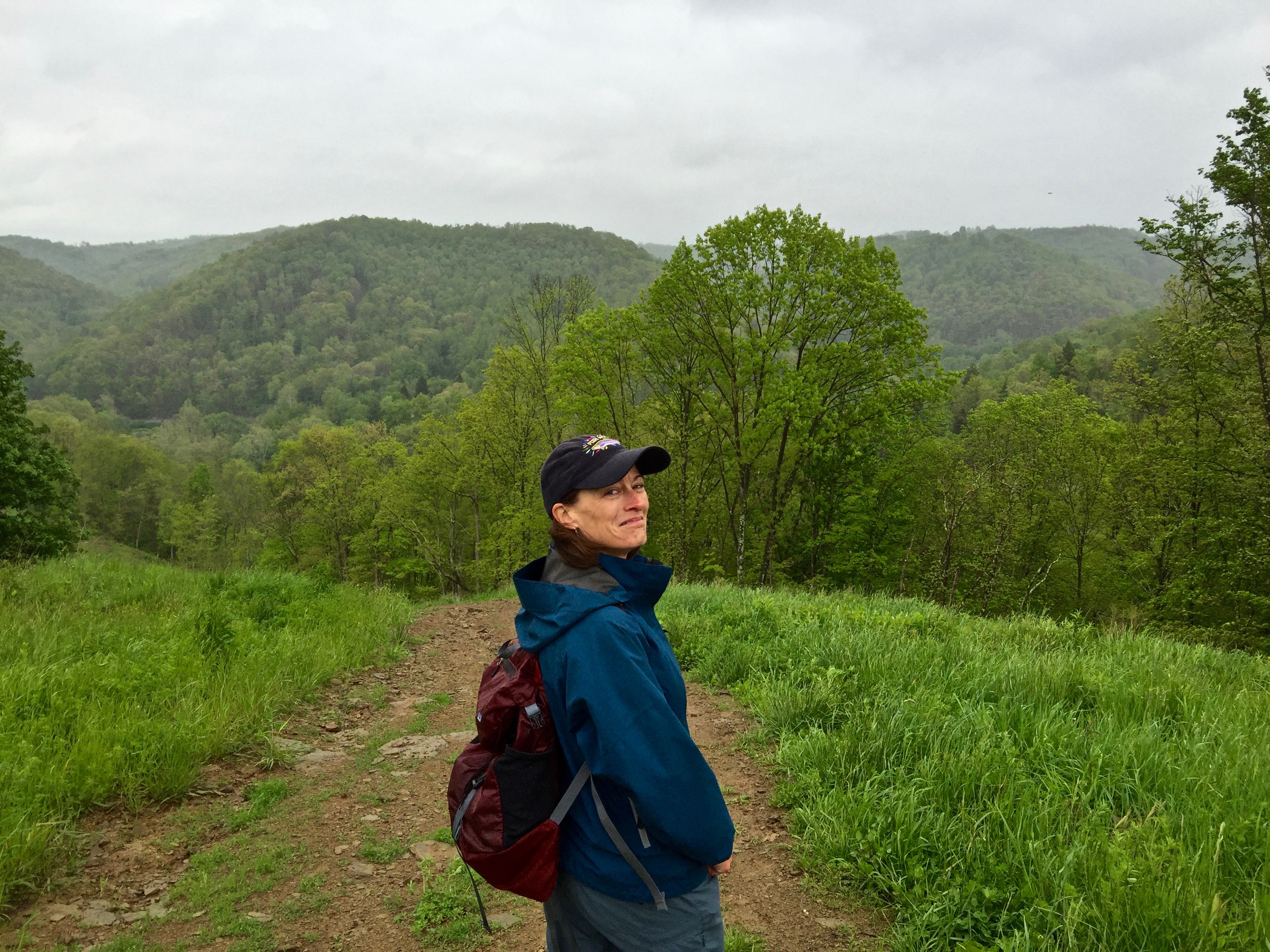
into the woods
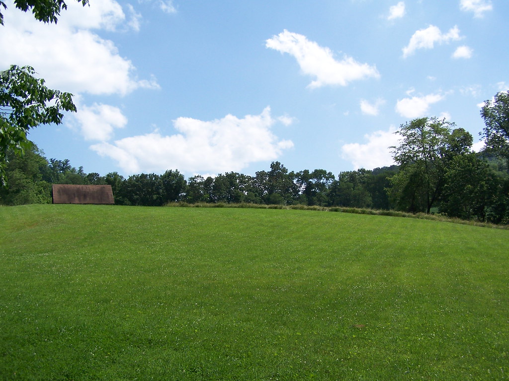
Eve on the Hay Field
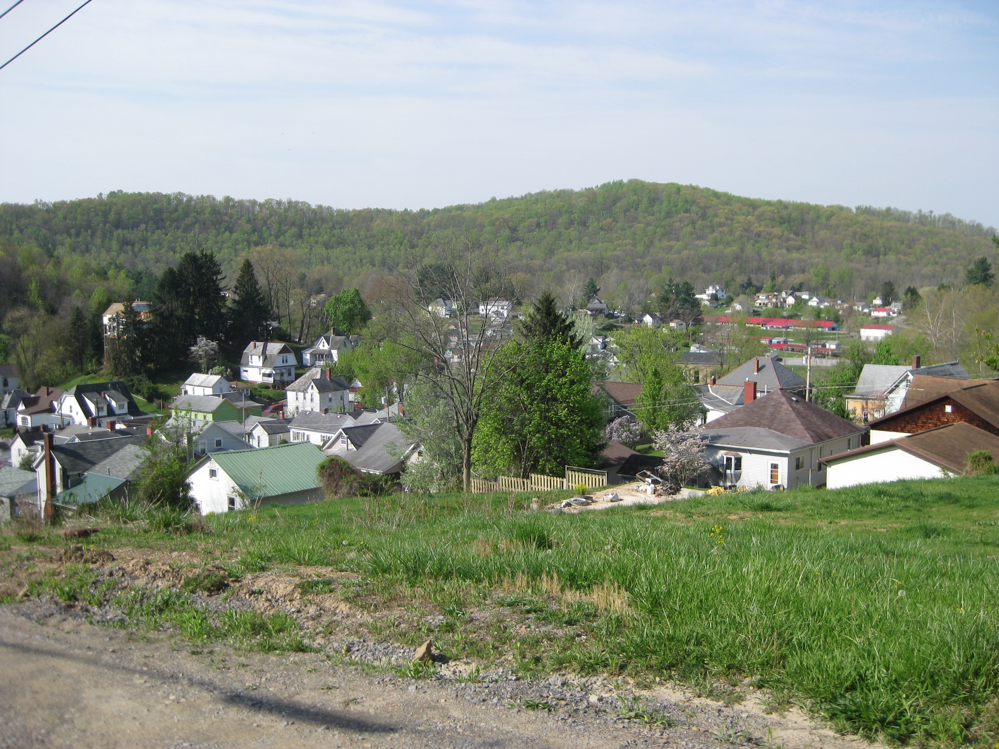
looking down on the town
Topographic Map of Morgan Run, Burton, WV, USA
Find elevation by address:

Places near Morgan Run, Burton, WV, USA:
Harker Run Road
N Fork Rd, Smithfield, WV, USA
Willey Fork Rd, Metz, WV, USA
Kodol Rd, 2, WV, USA
Mannington Rd, Smithfield, WV, USA
1, WV, USA
Curtisville Pike, Mannington, WV, USA
Burton
73 Postle Ridge, 2, WV, USA
235 Curtisville Pike
Littleton
Smithfield
WV-20, Smithfield, WV, USA
N Fork Rd, Pine Grove, WV, USA
Miller Run Rd, 2, WV, USA
9929 Hornet Hwy
Metz
Hoyt Ridge Rd, Pine Grove, WV, USA
Jacksonburg
Freeport Township
Recent Searches:
- Elevation of Steadfast Ct, Daphne, AL, USA
- Elevation of Lagasgasan, X+CQH, Tiaong, Quezon, Philippines
- Elevation of Rojo Ct, Atascadero, CA, USA
- Elevation of Flagstaff Drive, Flagstaff Dr, North Carolina, USA
- Elevation of Avery Ln, Lakeland, FL, USA
- Elevation of Woolwine, VA, USA
- Elevation of Lumagwas Diversified Farmers Multi-Purpose Cooperative, Lumagwas, Adtuyon, RV32+MH7, Pangantucan, Bukidnon, Philippines
- Elevation of Homestead Ridge, New Braunfels, TX, USA
- Elevation of Orchard Road, Orchard Rd, Marlborough, NY, USA
- Elevation of 12 Hutchinson Woods Dr, Fletcher, NC, USA