Elevation of Wilberforce, ON K0L, Canada
Location: Canada > Ontario > Haliburton County > Highlands East >
Longitude: -78.222647
Latitude: 45.0367882
Elevation: 380m / 1247feet
Barometric Pressure: 97KPa
Elevation Map:
Satellite Map:
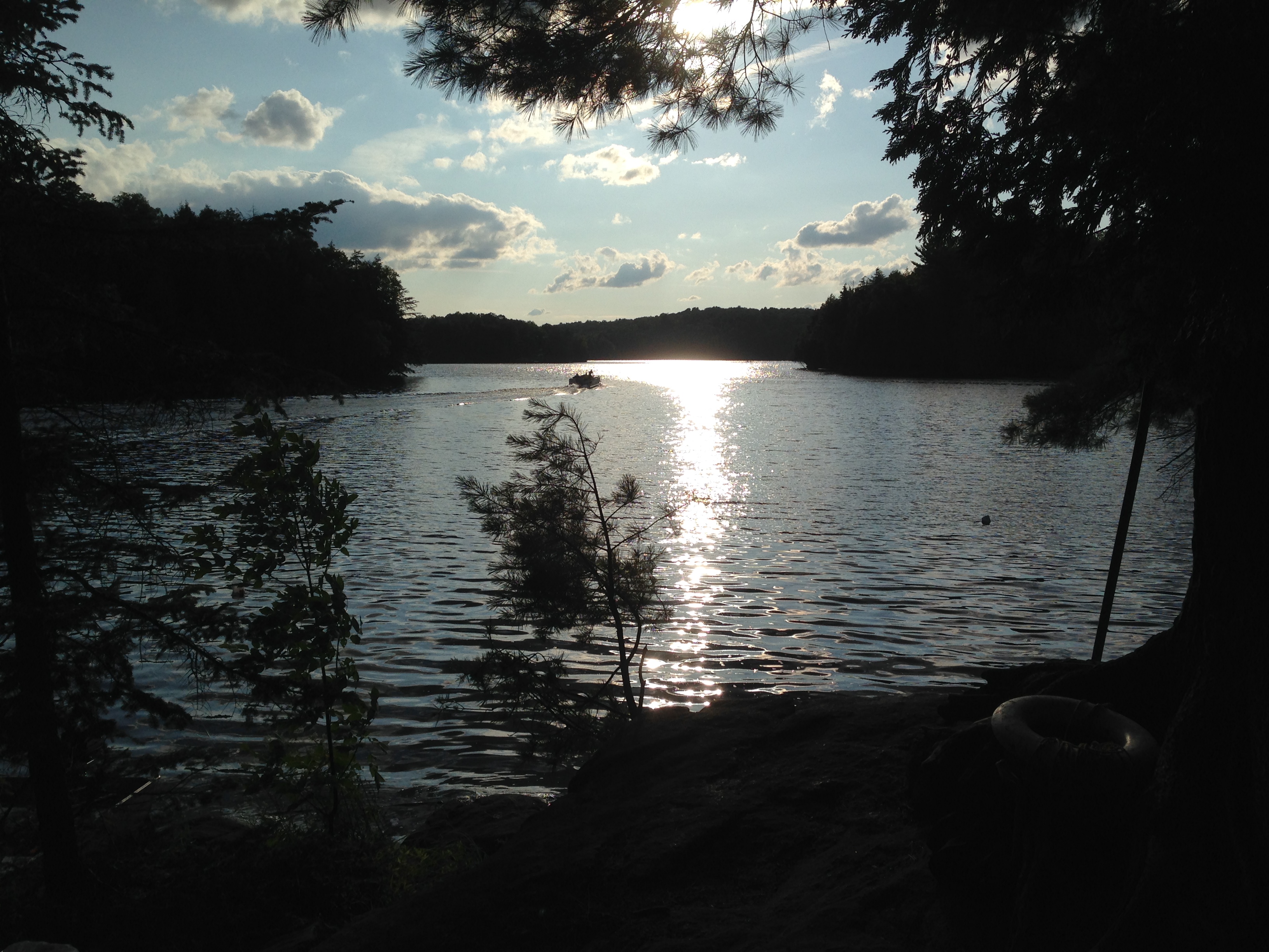
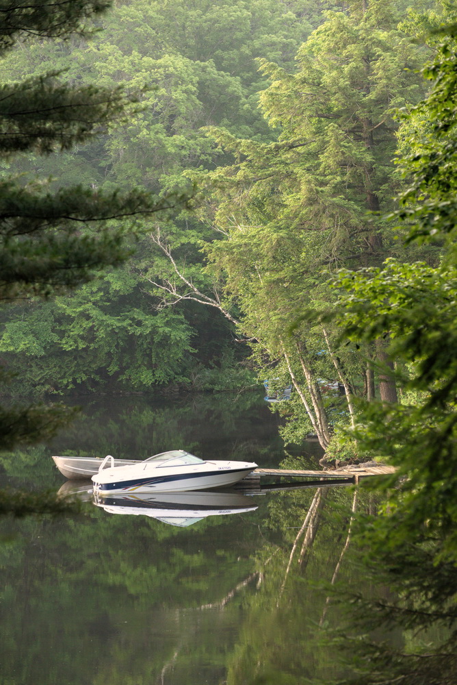
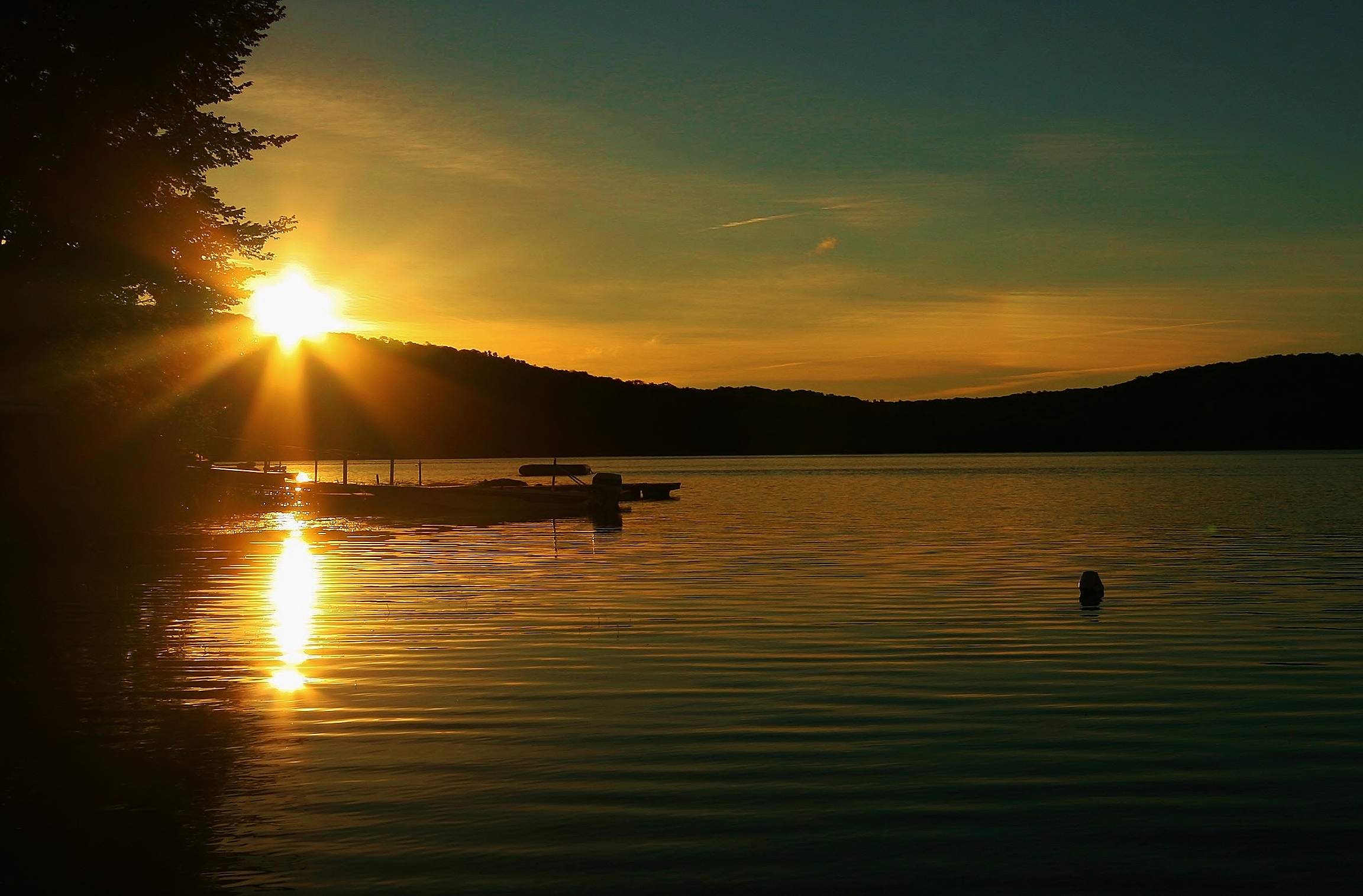
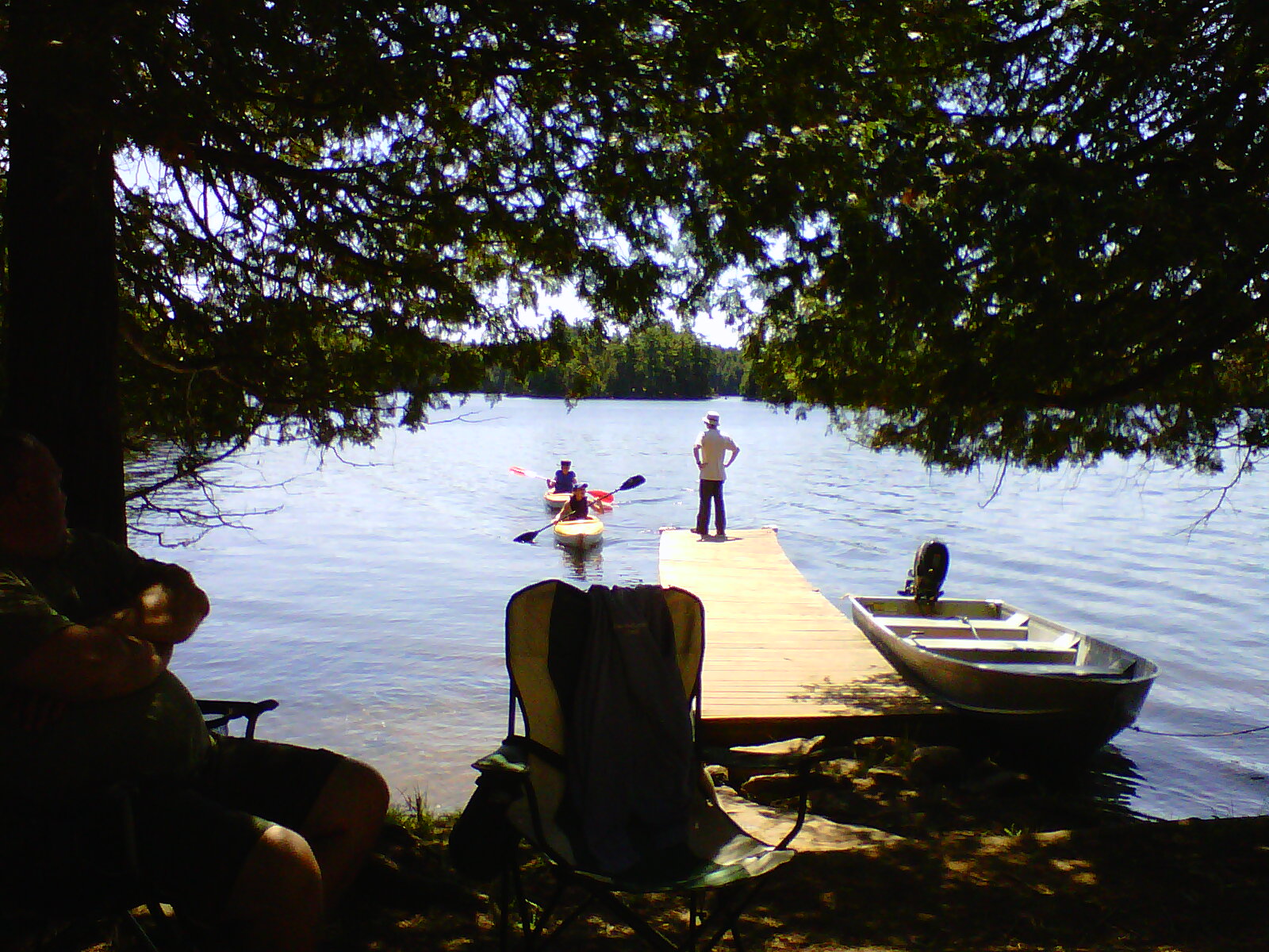
Related Photos:
We took out the new dock this weekend so this view is looking south from our neighbour's dock. Sunny afternoon, with a high of 7 C, low was -2 C last nite. Sunday afternoon, about 4:45 p.m. Waiting for the turkey to cook and closing up the cottage for the
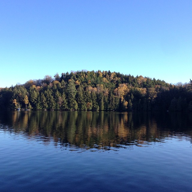
Mystery Island
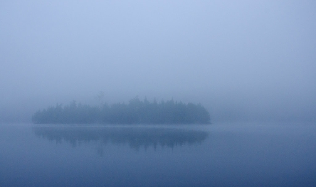
Early morning on Big Straggle Lake

Near Bancroft
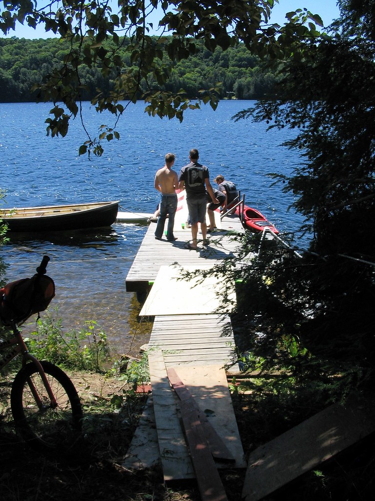
First look
Iphone 006
Glamour Lake at Dawn
Sunrise in the Highlands
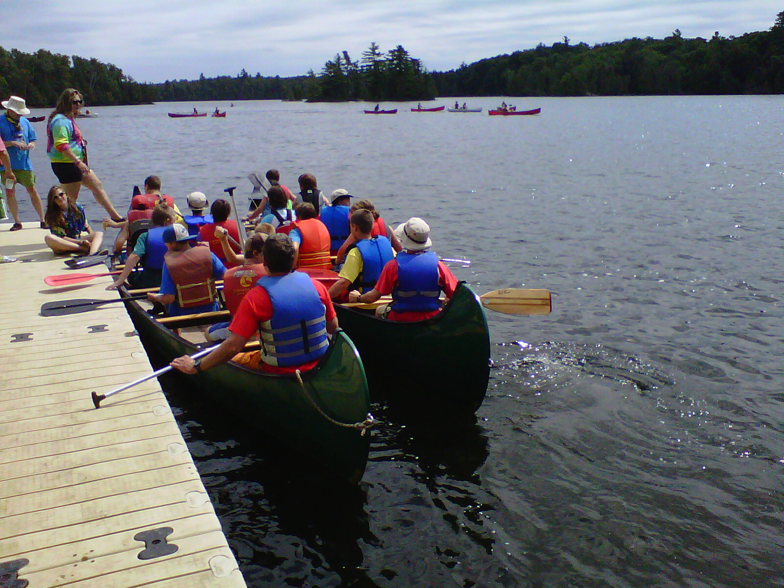
Dysart and Others-20110724-00009

Tory Hill Sunset
ErikStag 042
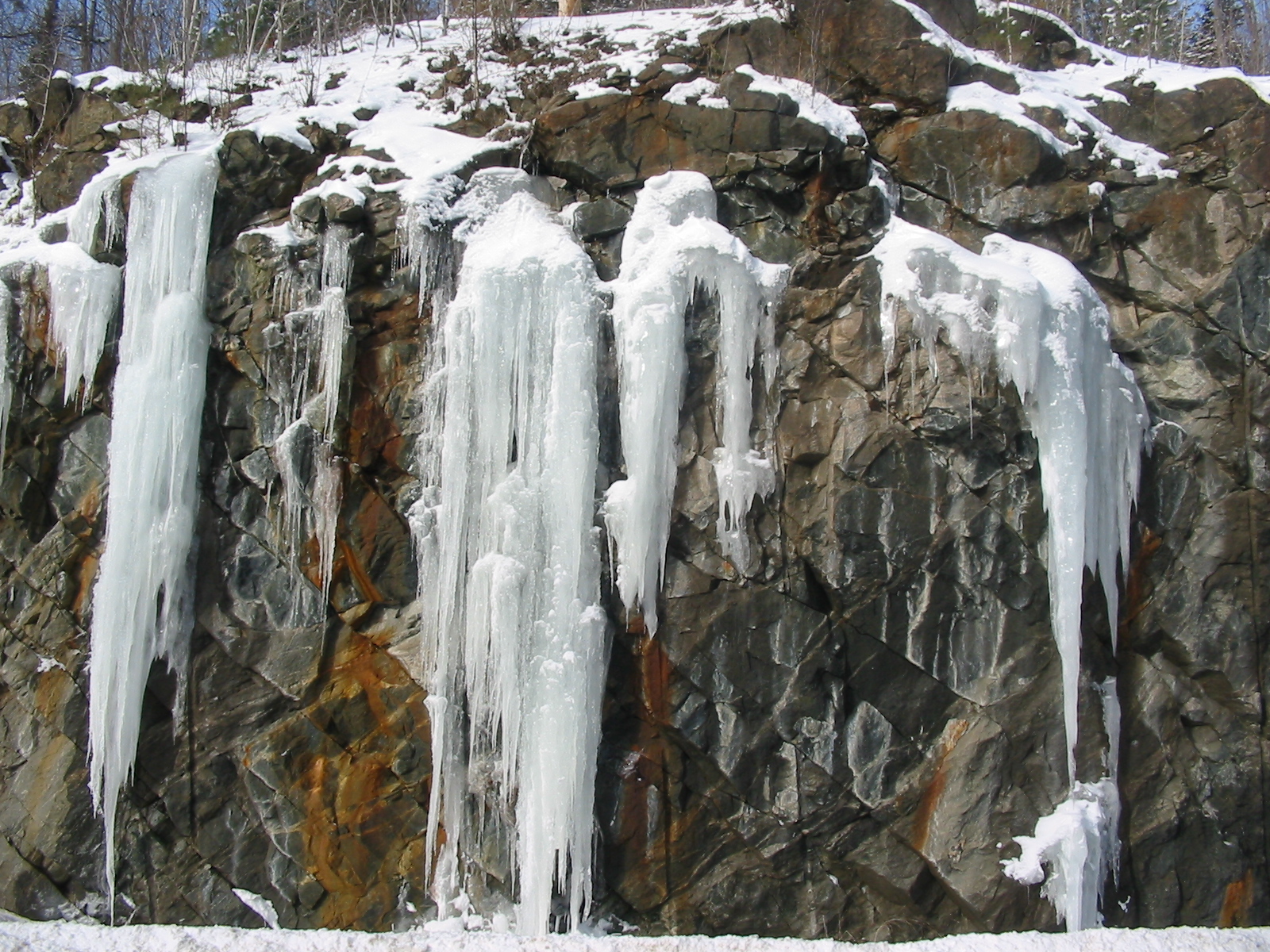
Wilberforce. Jan 2011.
Dysart and Others-20110728-00063
Stormy Lake Canada Day 2016-07-02 012-Pano
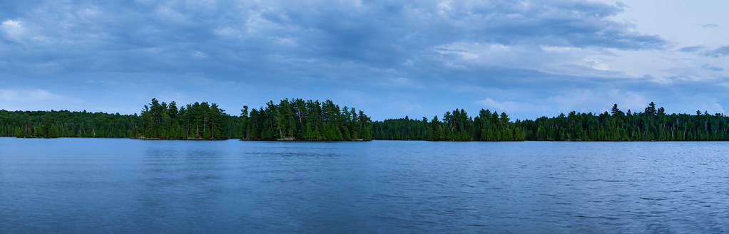
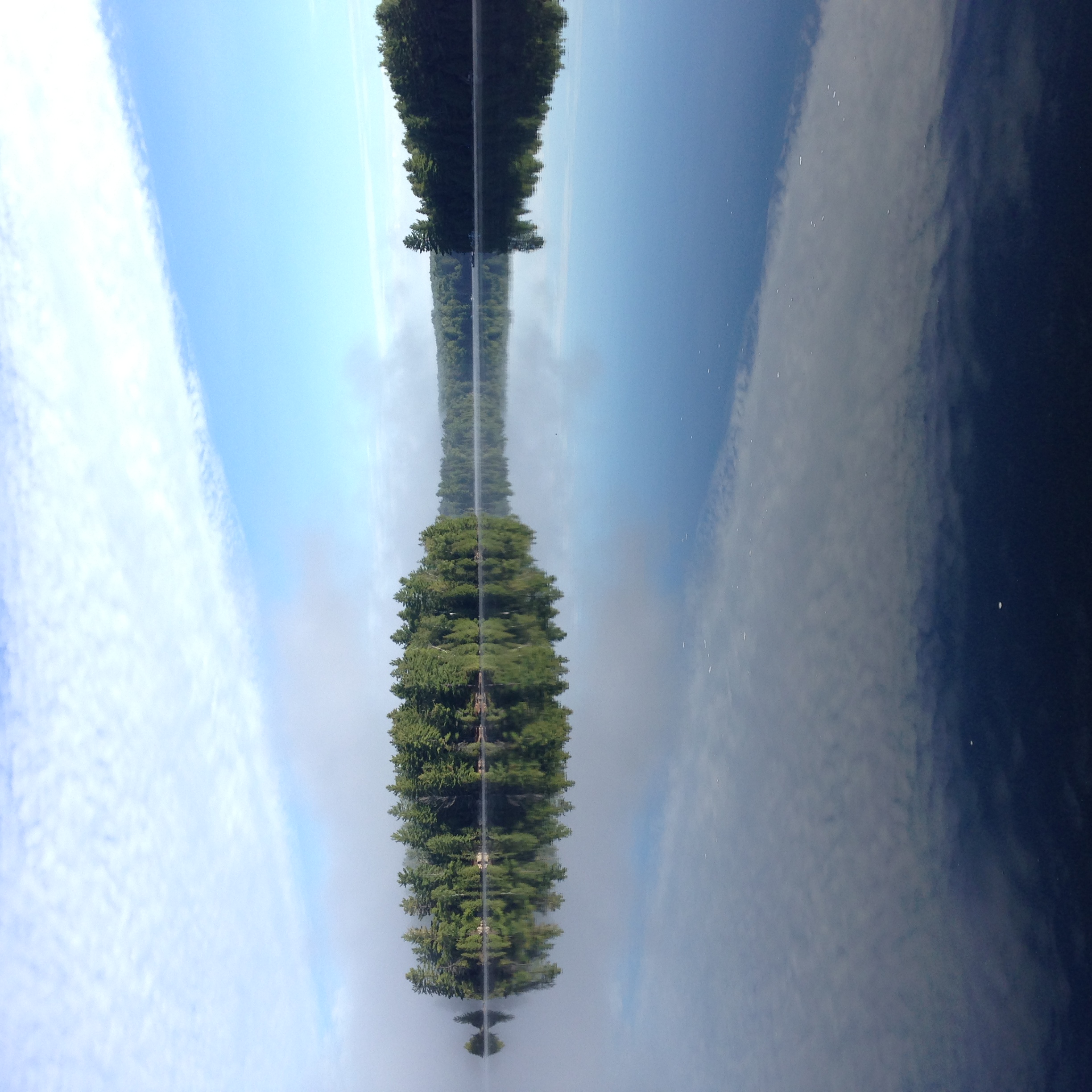
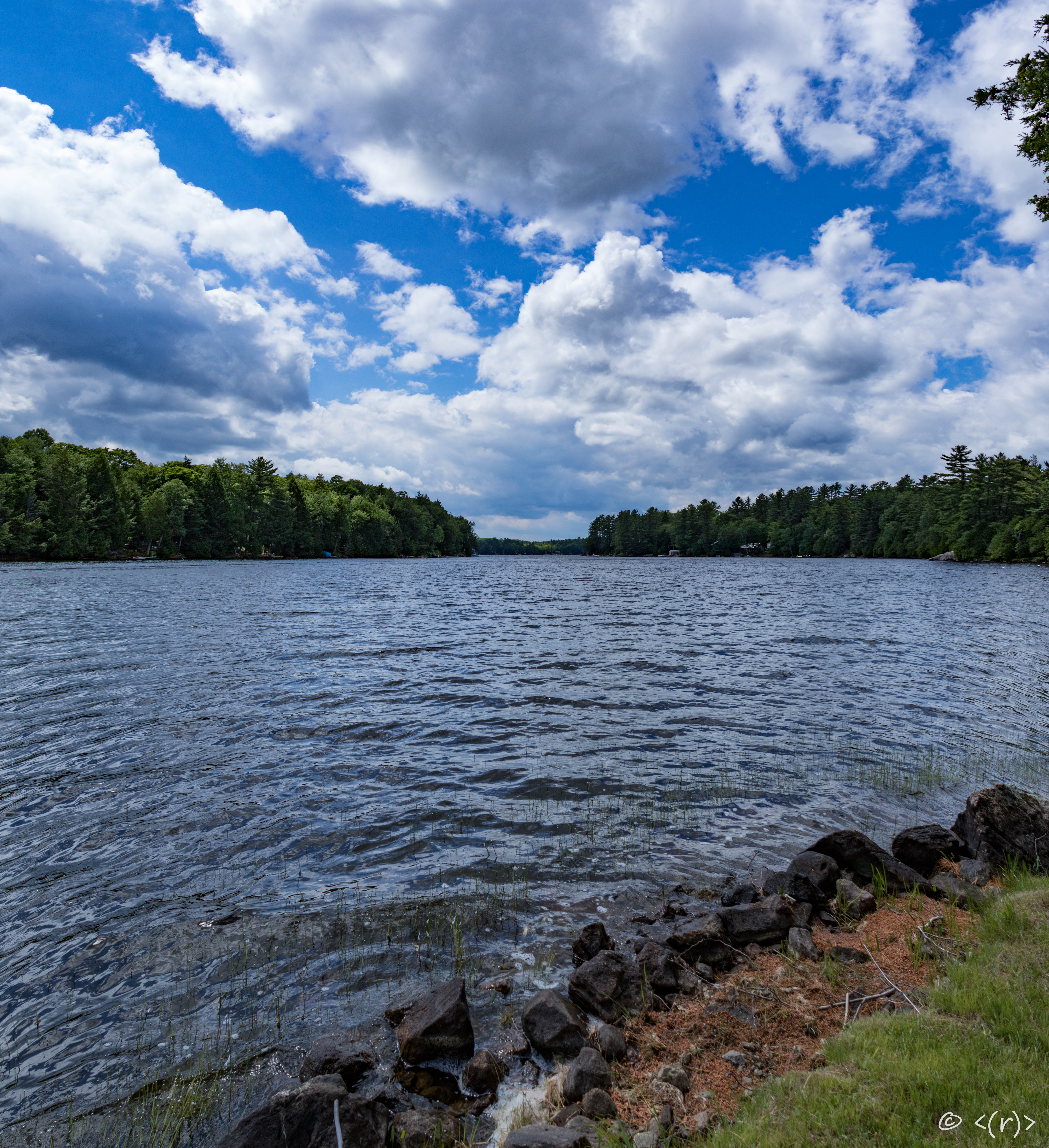
Across the Lake (Pano)
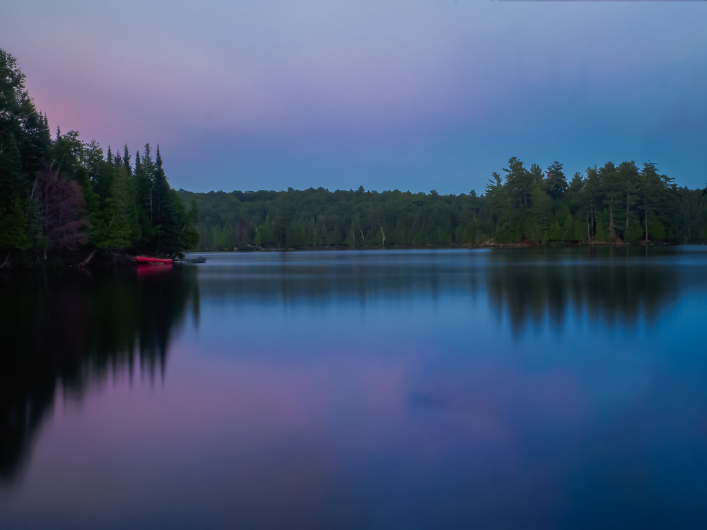
Twighlight colors
Topographic Map of Wilberforce, ON K0L, Canada
Find elevation by address:

Places in Wilberforce, ON K0L, Canada:
Places near Wilberforce, ON K0L, Canada:
1039 Grace River Rd
1291 Outram Rd
3044 Loop Rd
South Wilberforce Road
Farquhar Lake
1046 Cope Lake Rd
Harcourt
1390 Betula Crescent
Essonville
1340 Betula Crescent
2141 Trapper's Trail Rd
2141 Trapper's Trail Rd
2141 Trapper's Trail Rd
2141 Trapper's Trail Rd
2141 Trapper's Trail Rd
2141 Trapper's Trail Rd
1113 Betula Crescent
2835 Trapper's Trail Rd
3141 Trapper's Trail Rd
3141 Trapper's Trail Rd
Recent Searches:
- Elevation of Tenjo, Cundinamarca, Colombia
- Elevation of Côte-des-Neiges, Montreal, QC H4A 3J6, Canada
- Elevation of Bobcat Dr, Helena, MT, USA
- Elevation of Zu den Ihlowbergen, Althüttendorf, Germany
- Elevation of Badaber, Peshawar, Khyber Pakhtunkhwa, Pakistan
- Elevation of SE Heron Loop, Lincoln City, OR, USA
- Elevation of Slanický ostrov, 01 Námestovo, Slovakia
- Elevation of Spaceport America, Co Rd A, Truth or Consequences, NM, USA
- Elevation of Warwick, RI, USA
- Elevation of Fern Rd, Whitmore, CA, USA