Elevation of Loop Rd, Tory Hill, ON K0L 2Y0, Canada
Location: Canada > Ontario > Haliburton County > Dysart And Others > Tory Hill >
Longitude: -78.196547
Latitude: 45.0603203
Elevation: 405m / 1329feet
Barometric Pressure: 97KPa
Elevation Map:
Satellite Map:
Related Photos:

We took out the new dock this weekend so this view is looking south from our neighbour's dock. Sunny afternoon, with a high of 7 C, low was -2 C last nite. Sunday afternoon, about 4:45 p.m. Waiting for the turkey to cook and closing up the cottage for the

Early morning on Big Straggle Lake

Tree in Loon Lake Reflections

Near Bancroft

beautiful sunset

Sunrise in the Highlands

First look

Across the Lake (Pano)
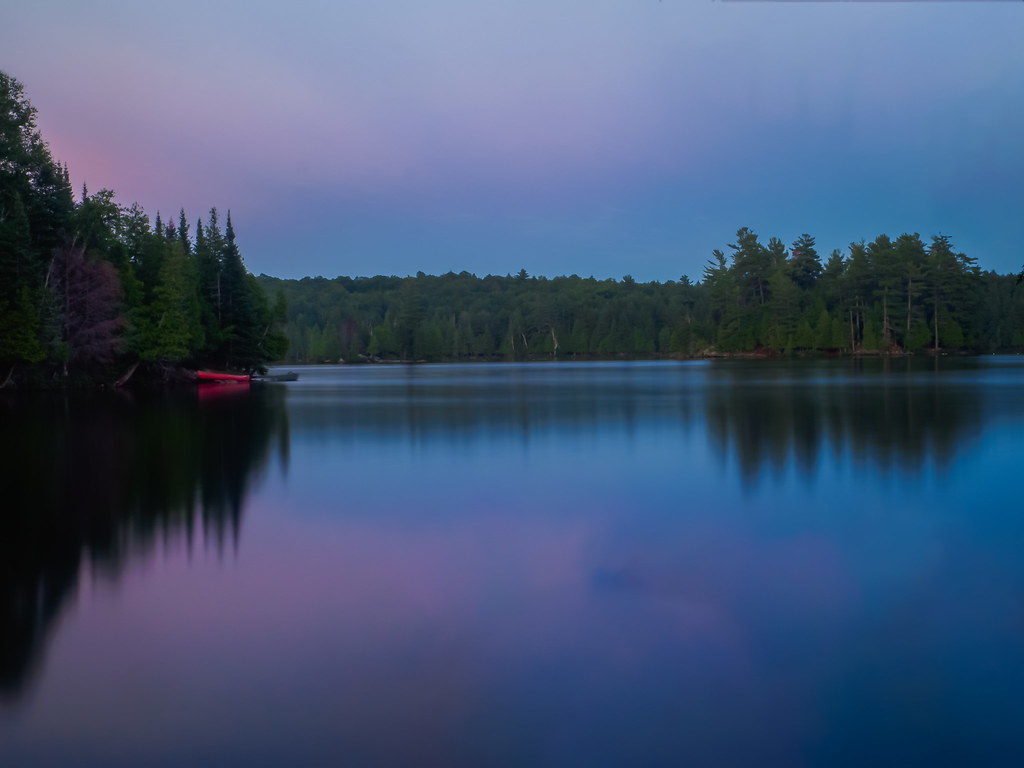
Twighlight colors

Iphone 006

Wilberforce. Jan 2011.

ErikStag 042

good moring

Still life with motorboat, dock, and water trampoline

Tory Hill Sunset

let the
Topographic Map of Loop Rd, Tory Hill, ON K0L 2Y0, Canada
Find elevation by address:

Places near Loop Rd, Tory Hill, ON K0L 2Y0, Canada:
1291 Outram Rd
1046 Cope Lake Rd
Farquhar Lake
1039 Grace River Rd
Wilberforce
Harcourt
South Wilberforce Road
1390 Betula Crescent
1340 Betula Crescent
1113 Betula Crescent
Highland Grove
2141 Trapper's Trail Rd
2141 Trapper's Trail Rd
2141 Trapper's Trail Rd
2141 Trapper's Trail Rd
2141 Trapper's Trail Rd
2141 Trapper's Trail Rd
Essonville
2835 Trapper's Trail Rd
3141 Trapper's Trail Rd
Recent Searches:
- Elevation of Rojo Ct, Atascadero, CA, USA
- Elevation of Flagstaff Drive, Flagstaff Dr, North Carolina, USA
- Elevation of Avery Ln, Lakeland, FL, USA
- Elevation of Woolwine, VA, USA
- Elevation of Lumagwas Diversified Farmers Multi-Purpose Cooperative, Lumagwas, Adtuyon, RV32+MH7, Pangantucan, Bukidnon, Philippines
- Elevation of Homestead Ridge, New Braunfels, TX, USA
- Elevation of Orchard Road, Orchard Rd, Marlborough, NY, USA
- Elevation of 12 Hutchinson Woods Dr, Fletcher, NC, USA
- Elevation of Holloway Ave, San Francisco, CA, USA
- Elevation of Norfolk, NY, USA