Elevation of Wiggins Rd, Green Pond, SC, USA
Location: United States > South Carolina > Green Pond >
Longitude: -80.541299
Latitude: 32.612616
Elevation: 34m / 112feet
Barometric Pressure: 101KPa
Elevation Map:
Satellite Map:
Related Photos:

Down Coosaw Lane - Explored
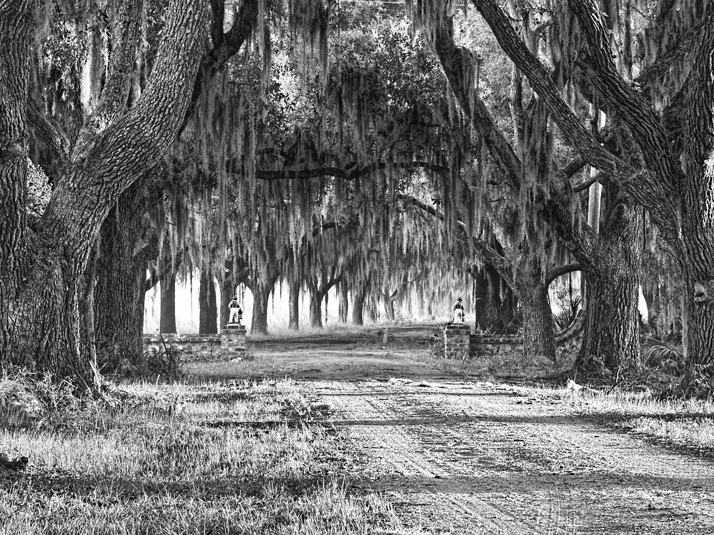
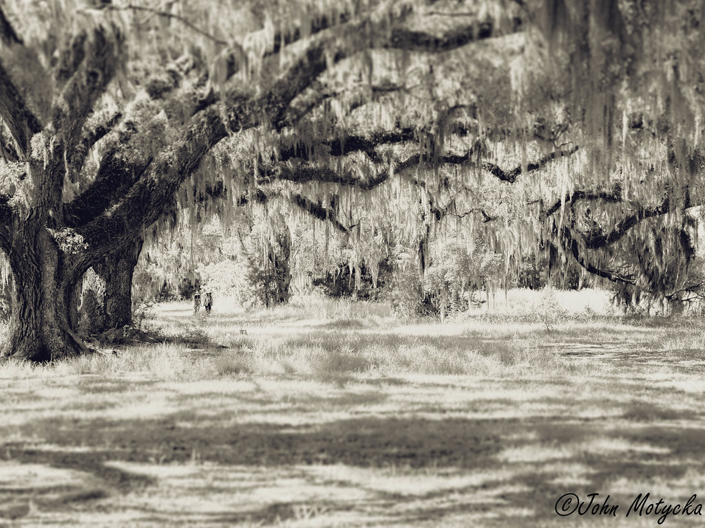
The Avenue of Oaks - Explored
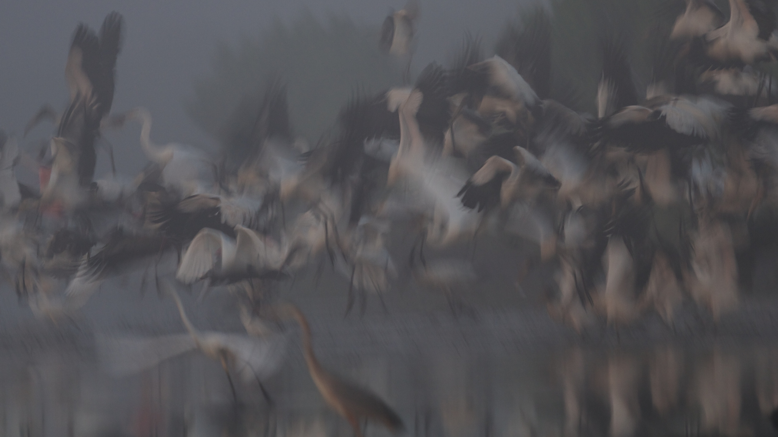
Wood Stork in flight abstract
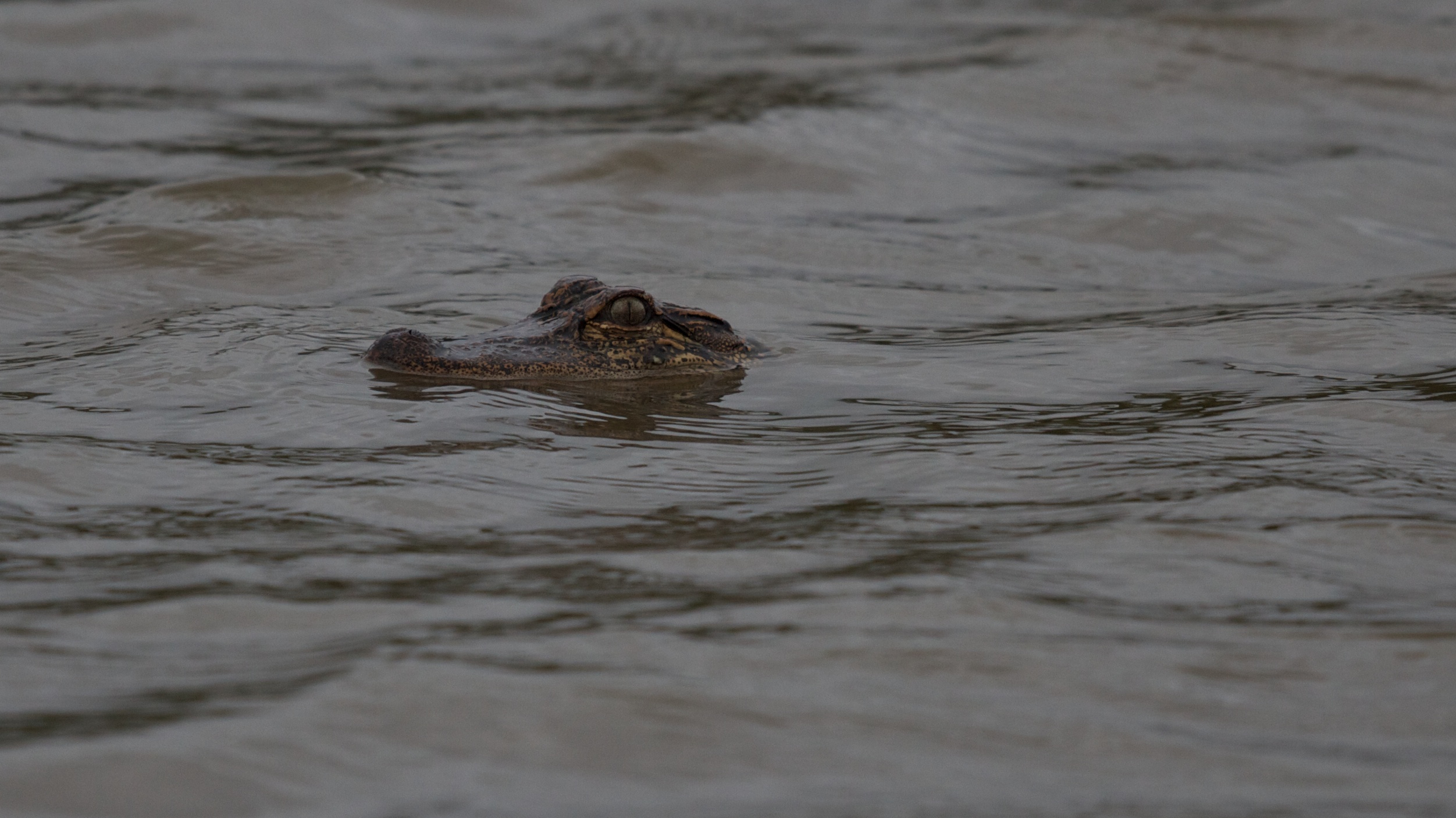
Alligator head view
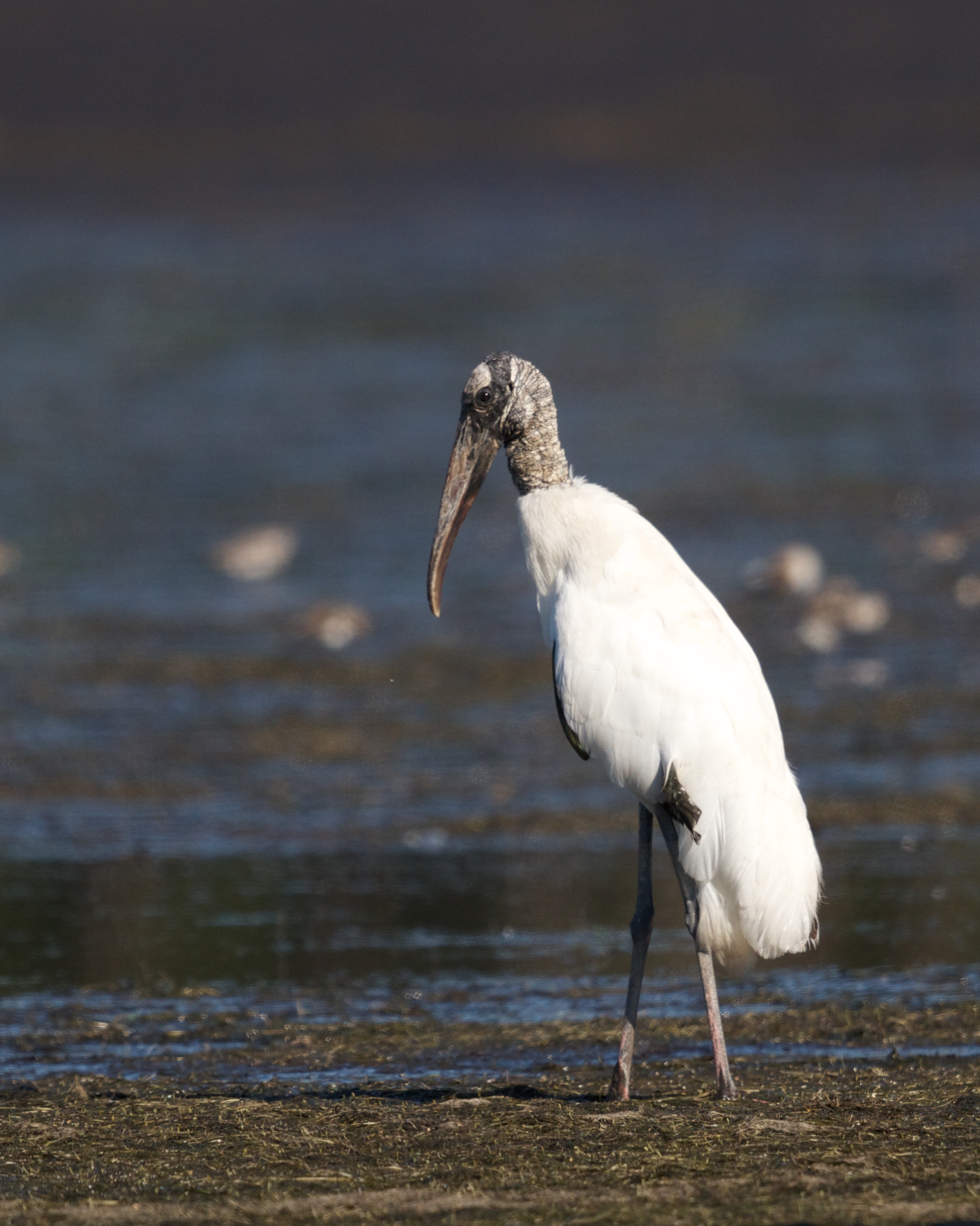
Wood Stork Profile
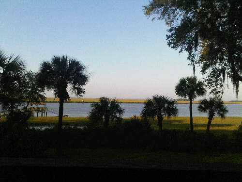
Morning View
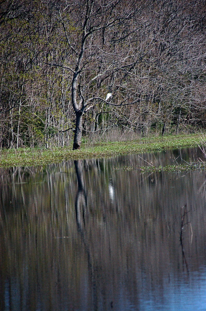
Colleton County, Combahee River basin
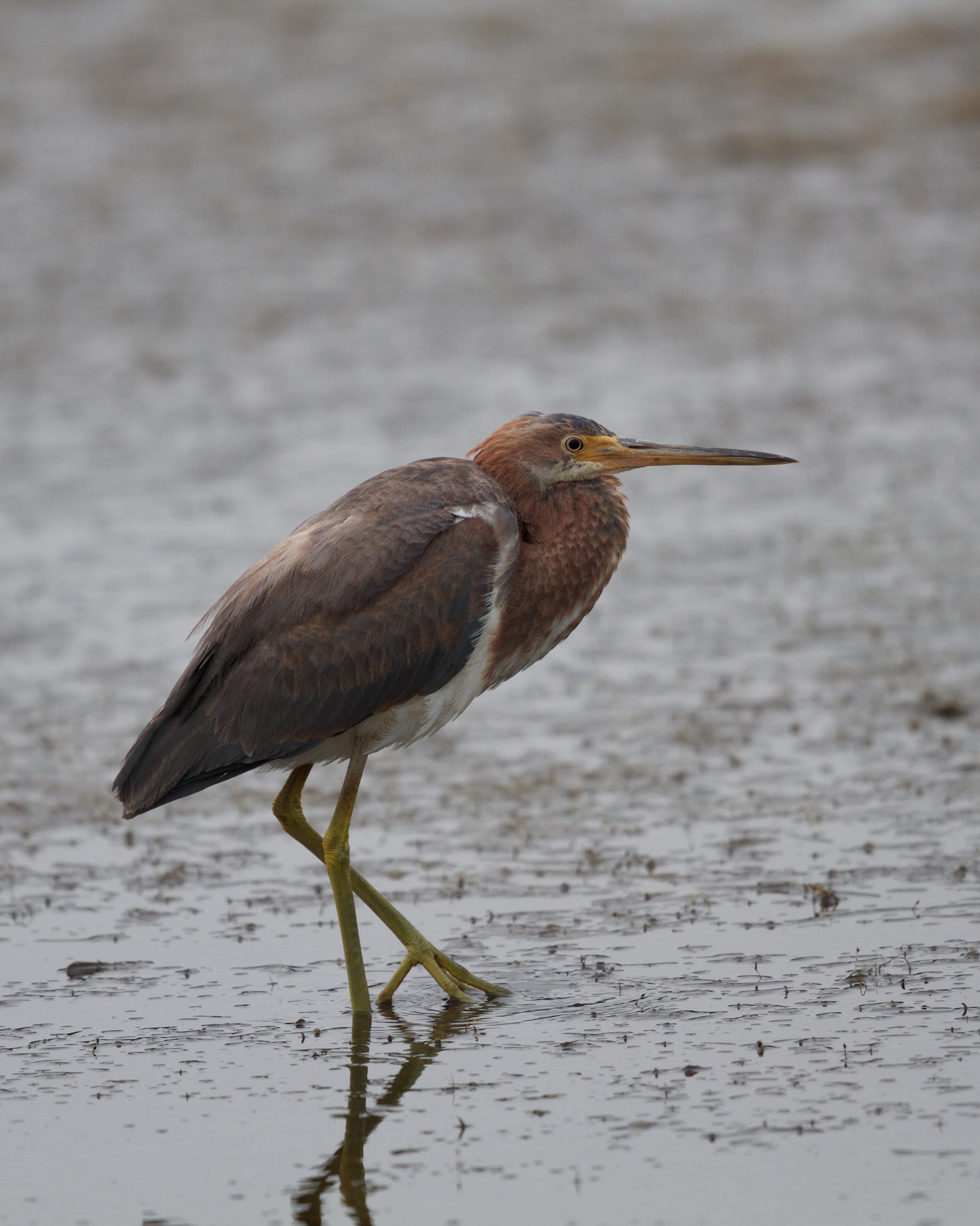
Tricolored Heron vertical view

Colleton County, Combahee River basin
Wood Stork Landing - Side View
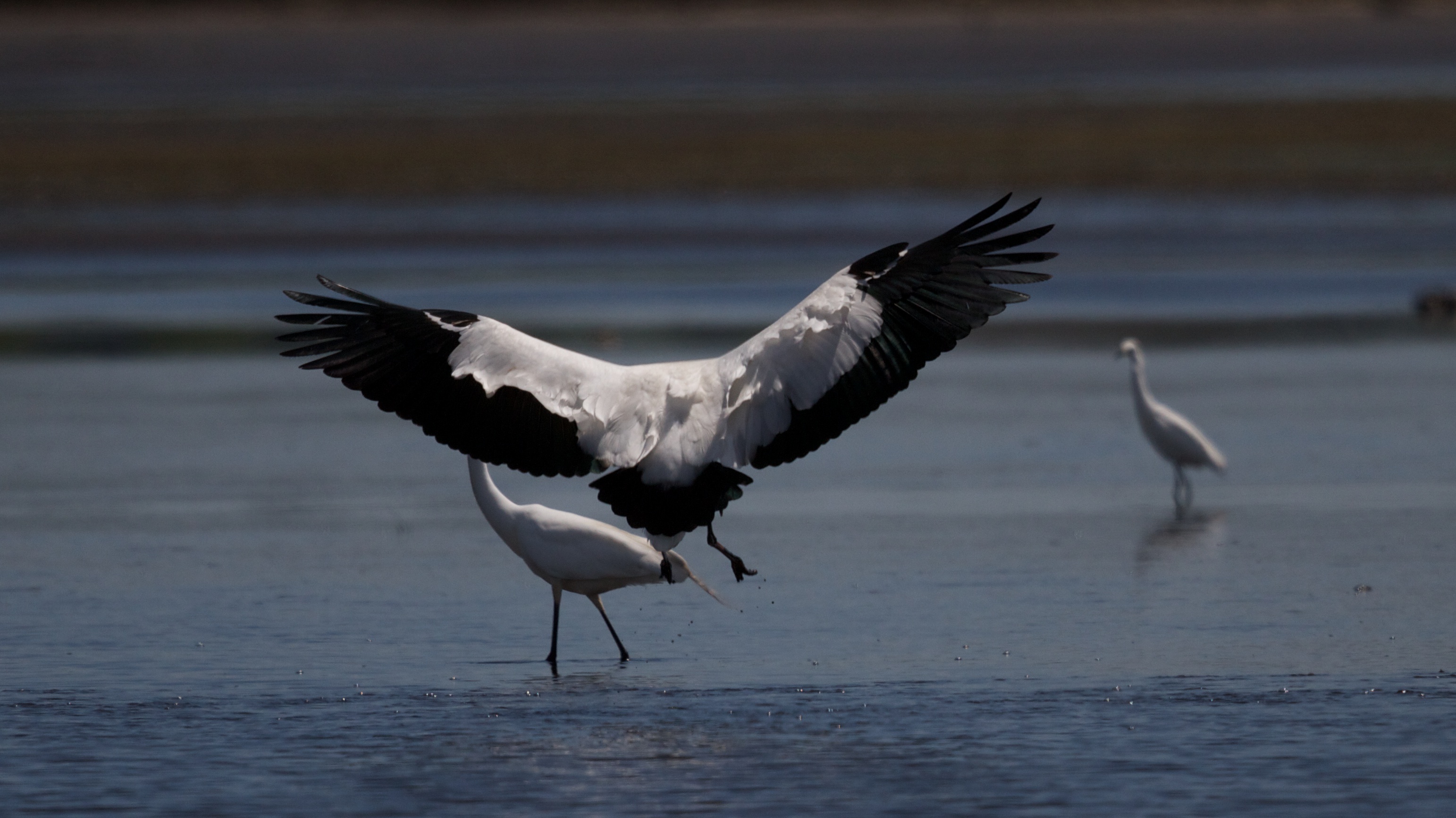
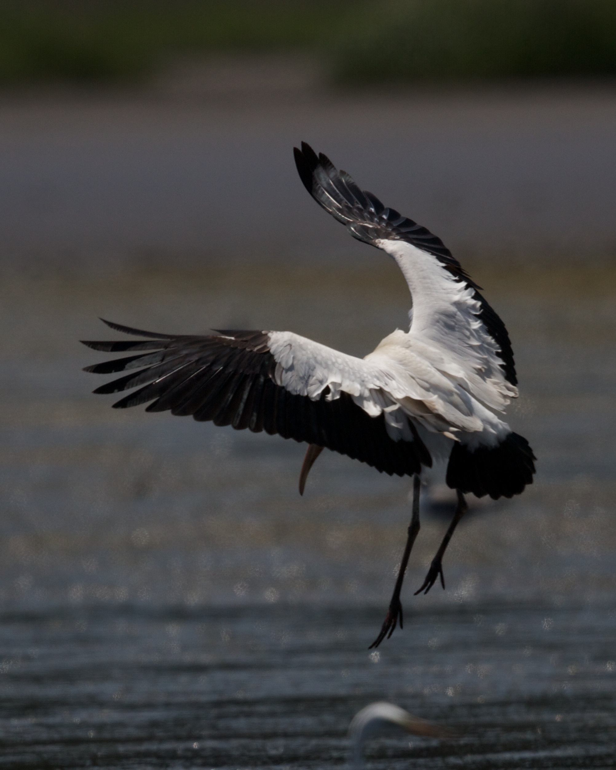
Wood Stork Landing - Wings outstretched
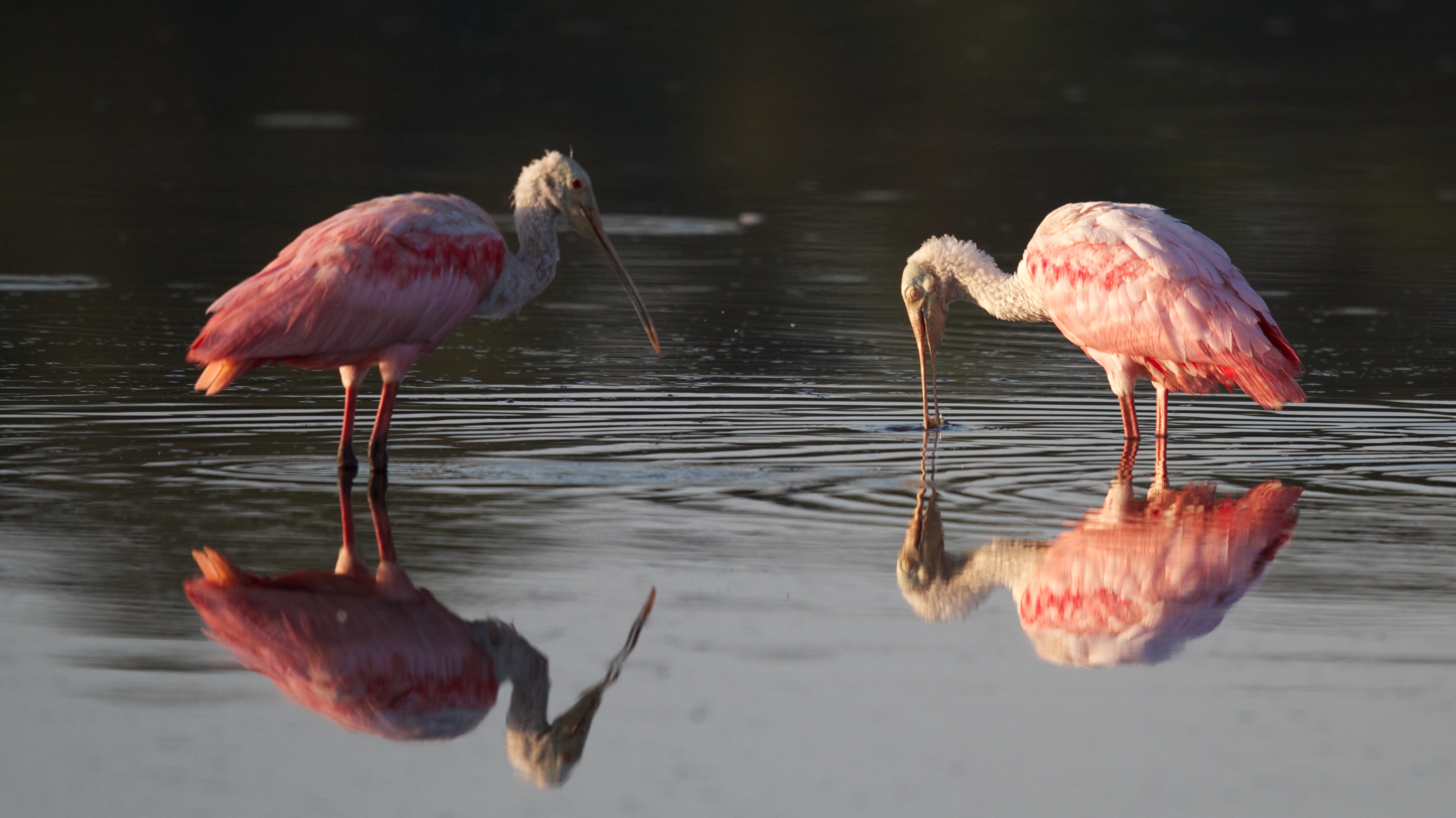
Roseate Spoonbills feeding
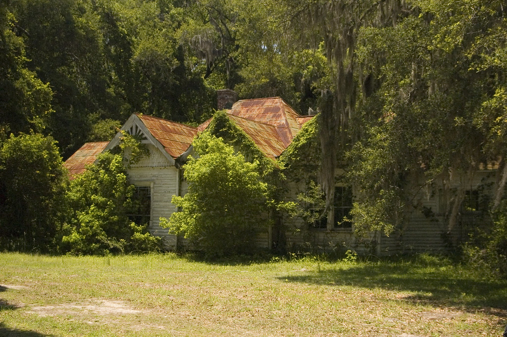
abandoned house 1
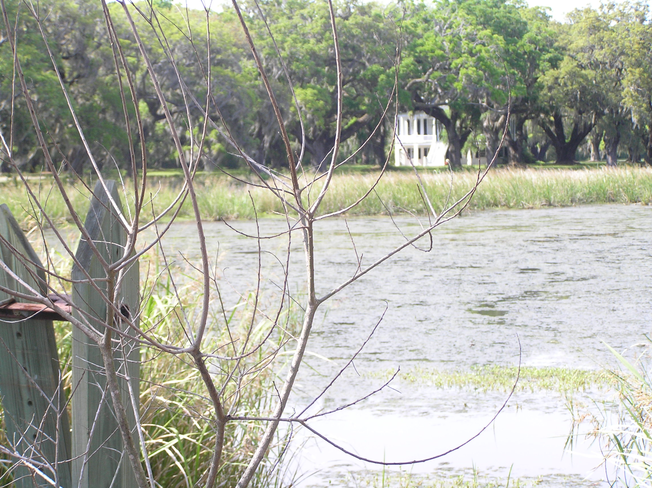
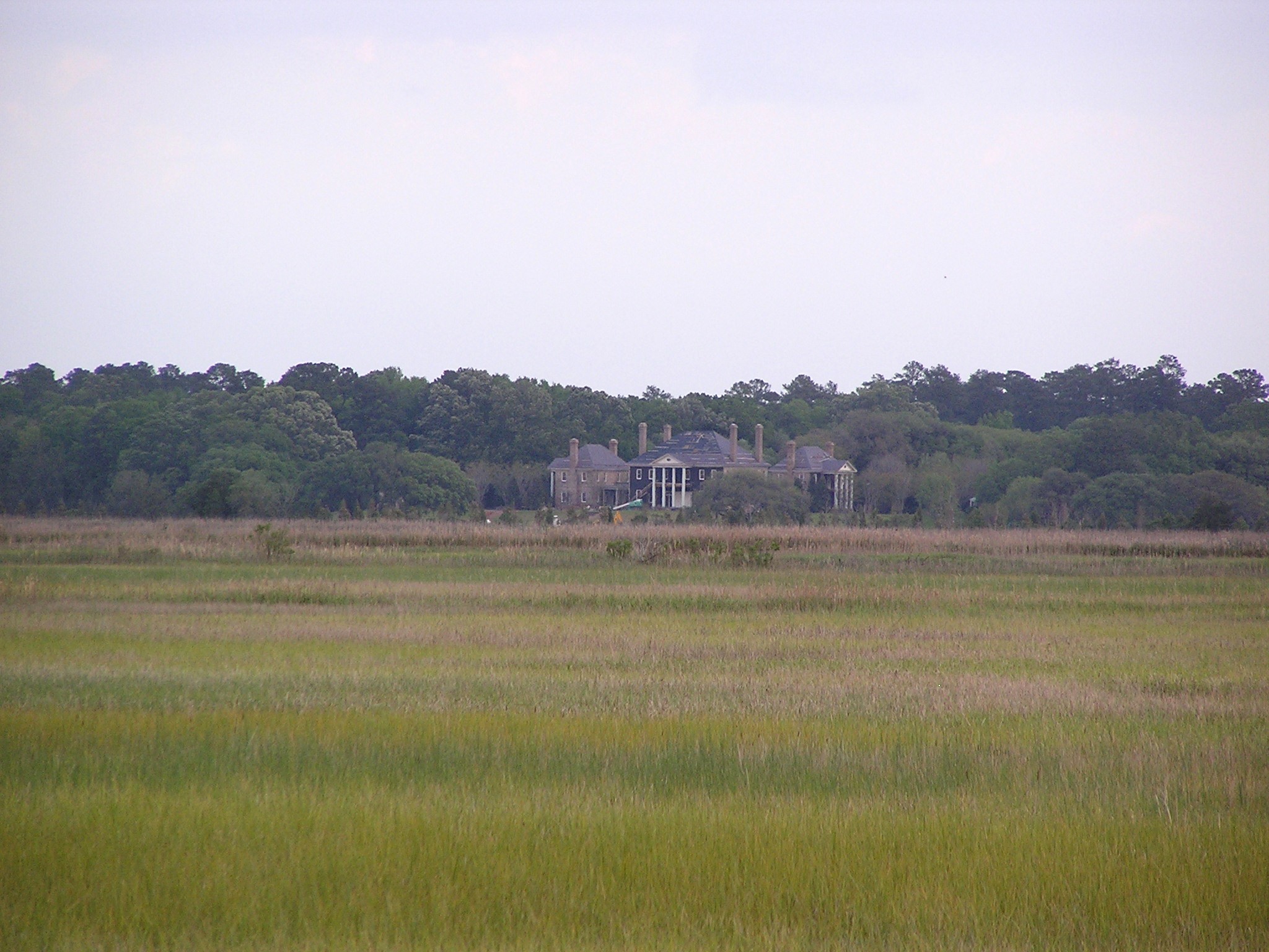
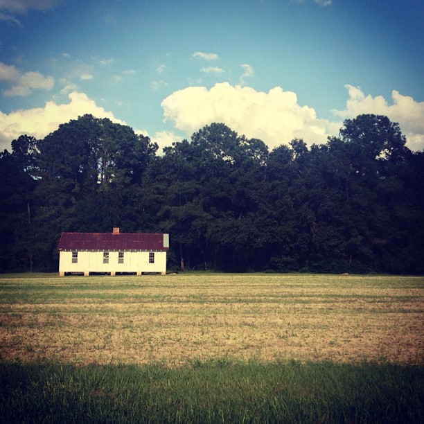
House on the Marsh
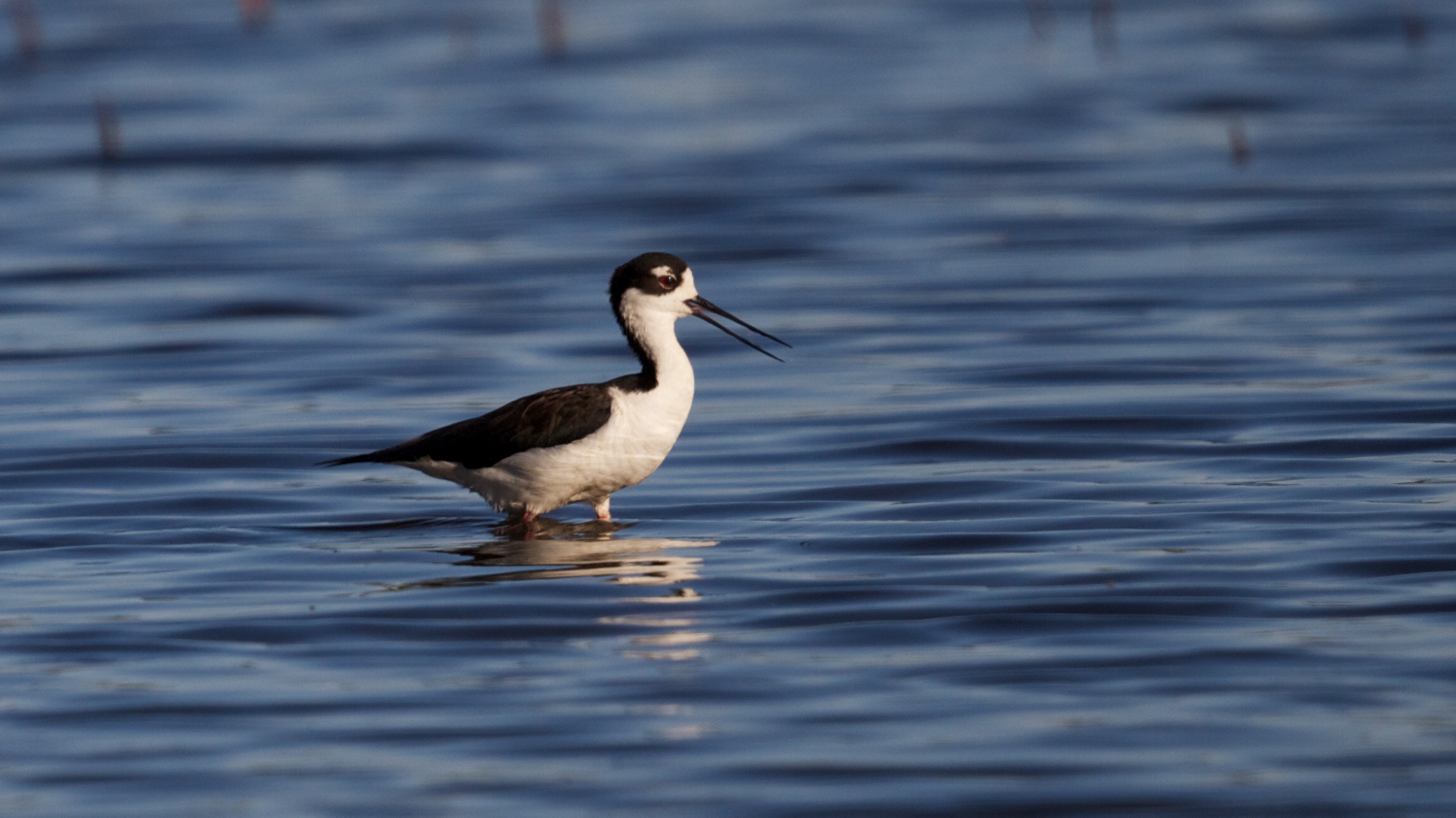
Wading Black-necked Stilt
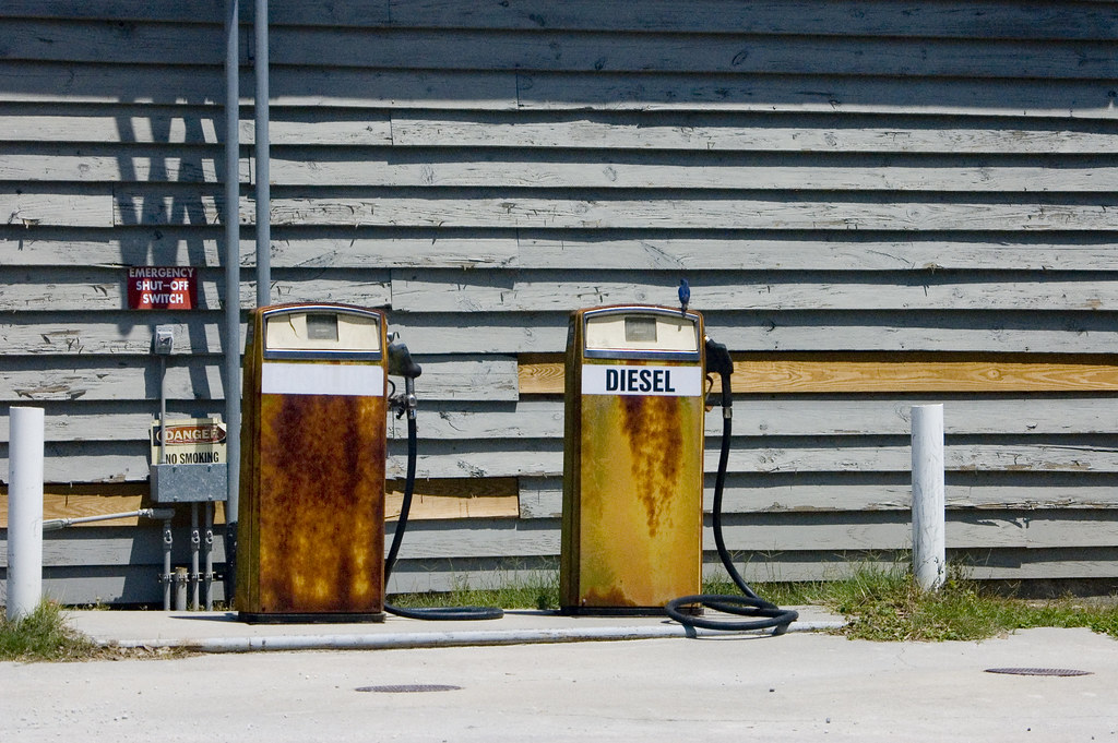
Bluebird and Diesel

Greater Yellowlegs
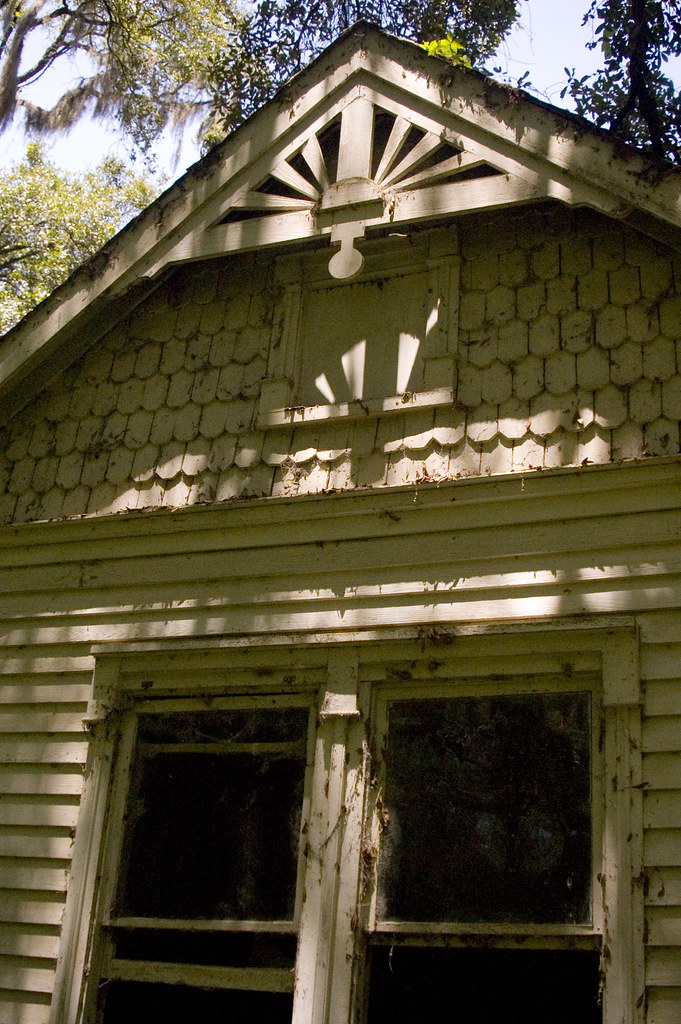
abandoned house 2
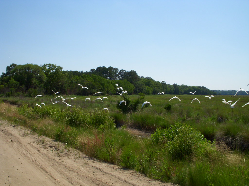
White Birds
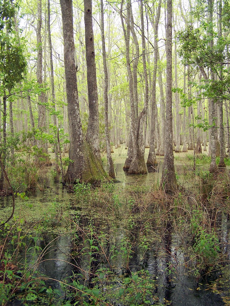
LowCountry Ramble: In the Swamp
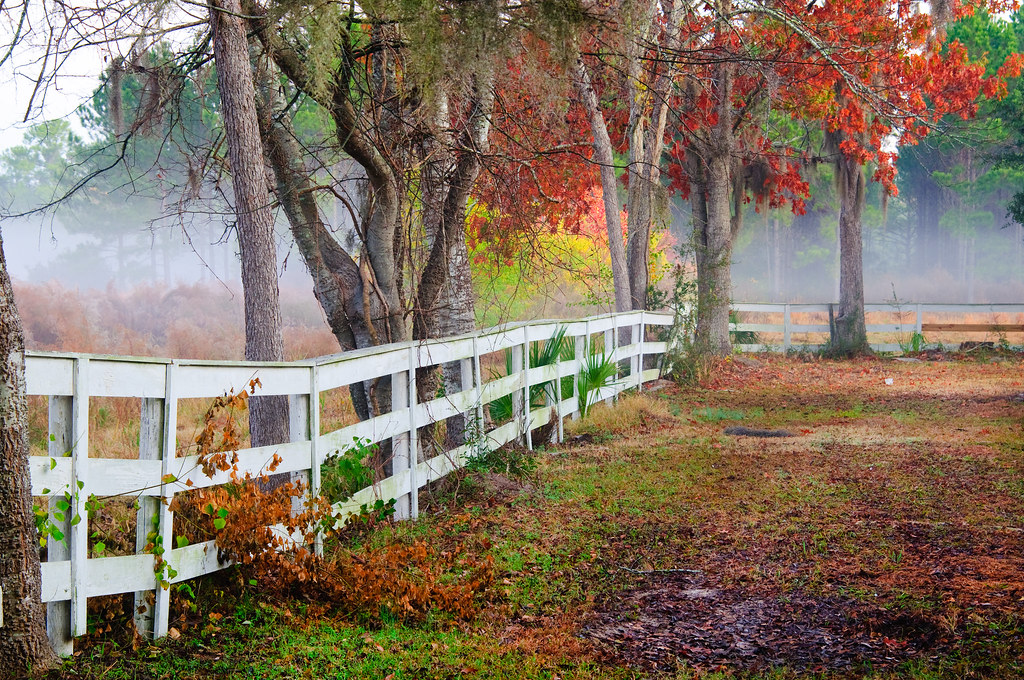
Coosaw Horse Fence

God's Cathedral
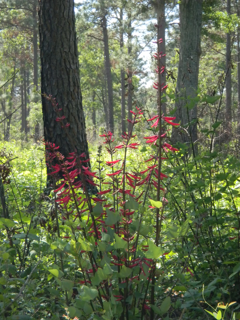
Red Flower
Laurel Springs Plantation #lowcountry #southcarolina #plantation #slavecabin
Live Oaks

Boynton House through the Woods
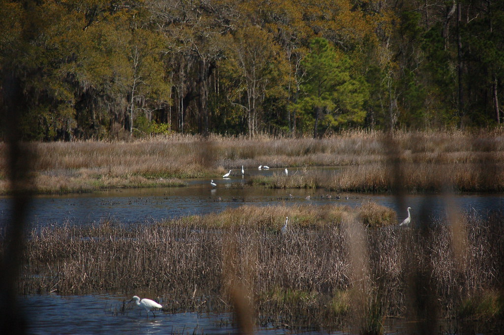
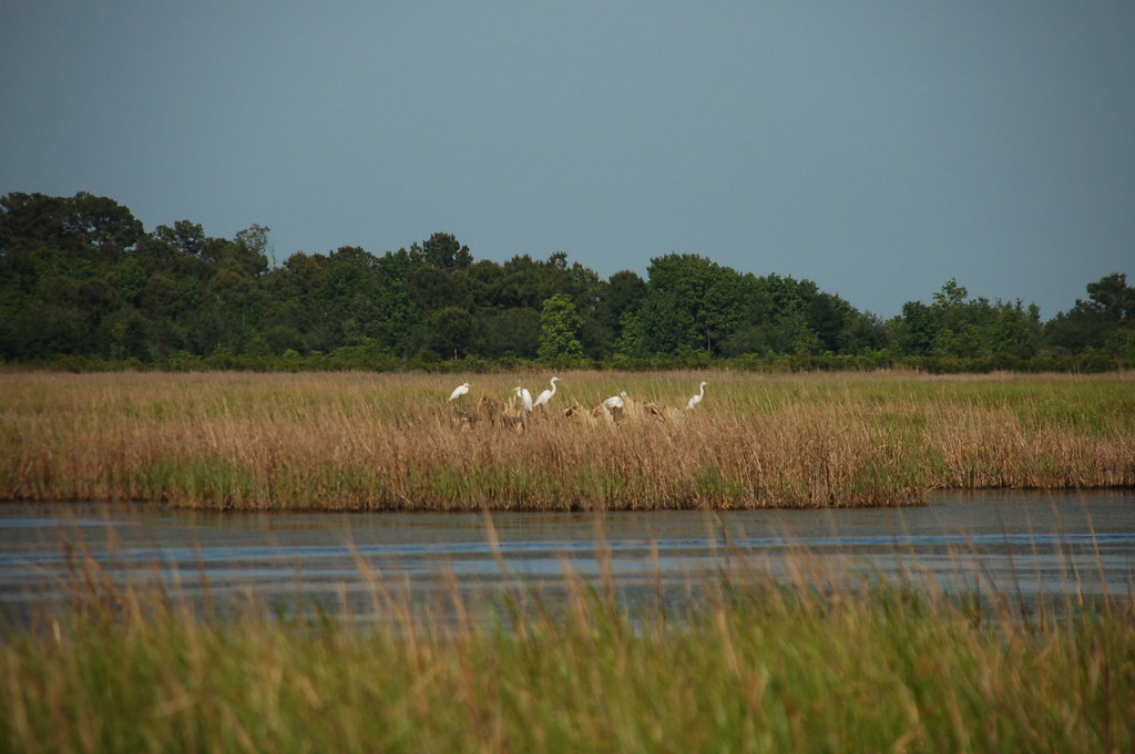
ACE Basin Birds
43 Bennetts Point RD Green Pond SC 6871
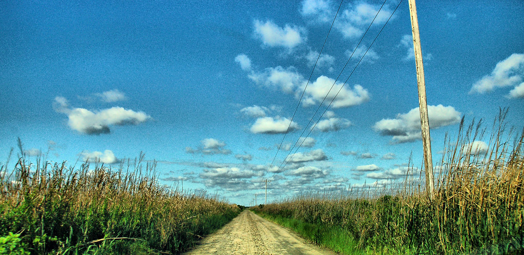
Bear Island Road
Bird Reflection
06 Bennetts Point RD Green Pond SC 6833
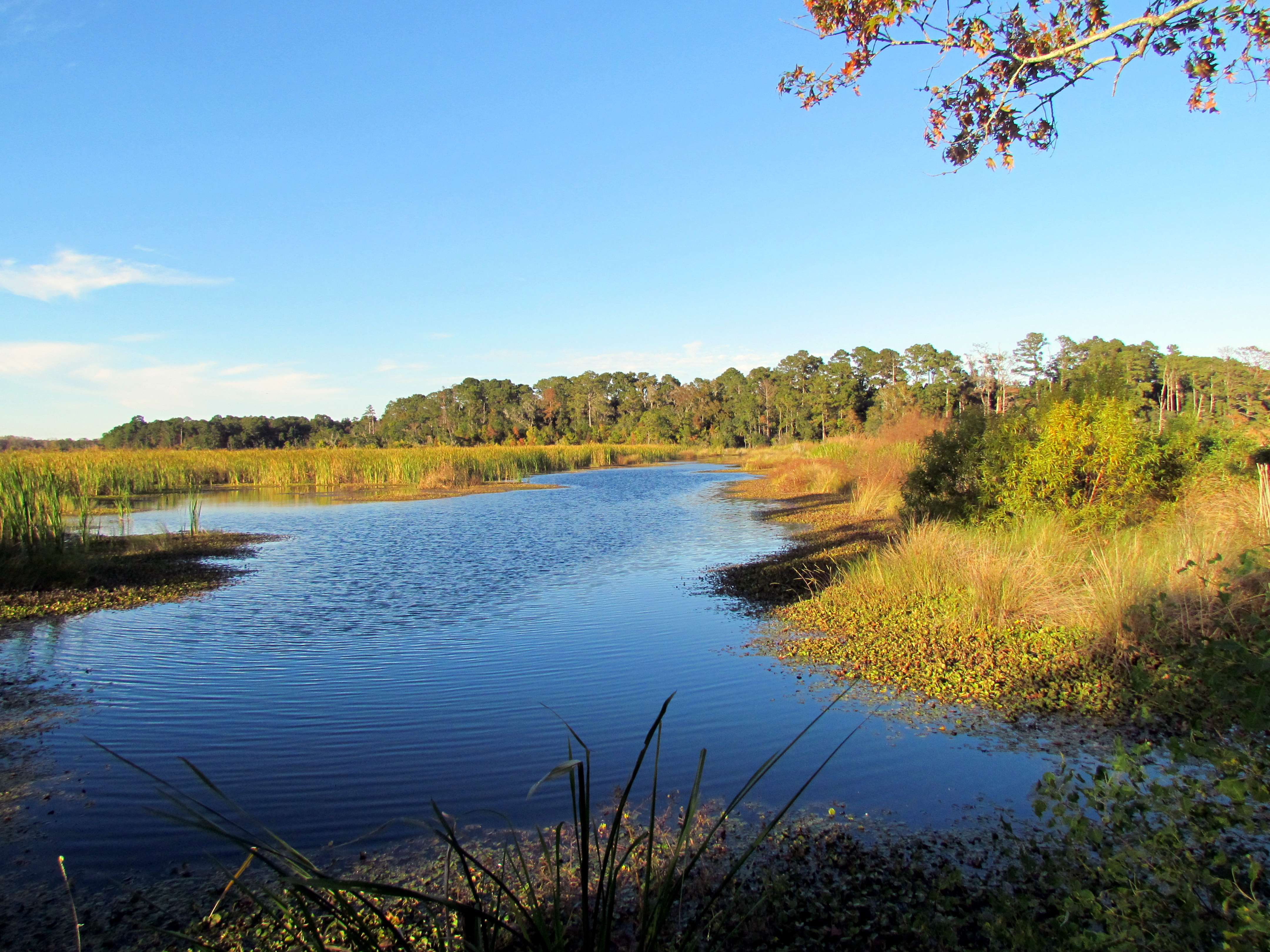
Ace Basin

American Alligator

ACE Basin Alligator
03 Bennetts Point RD Green Pond SC 6830
Herons at Bear Island

ACE Basin. #SC #Lowcountry
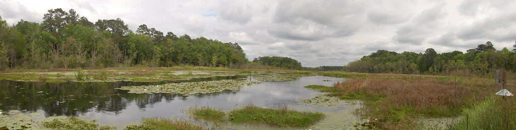
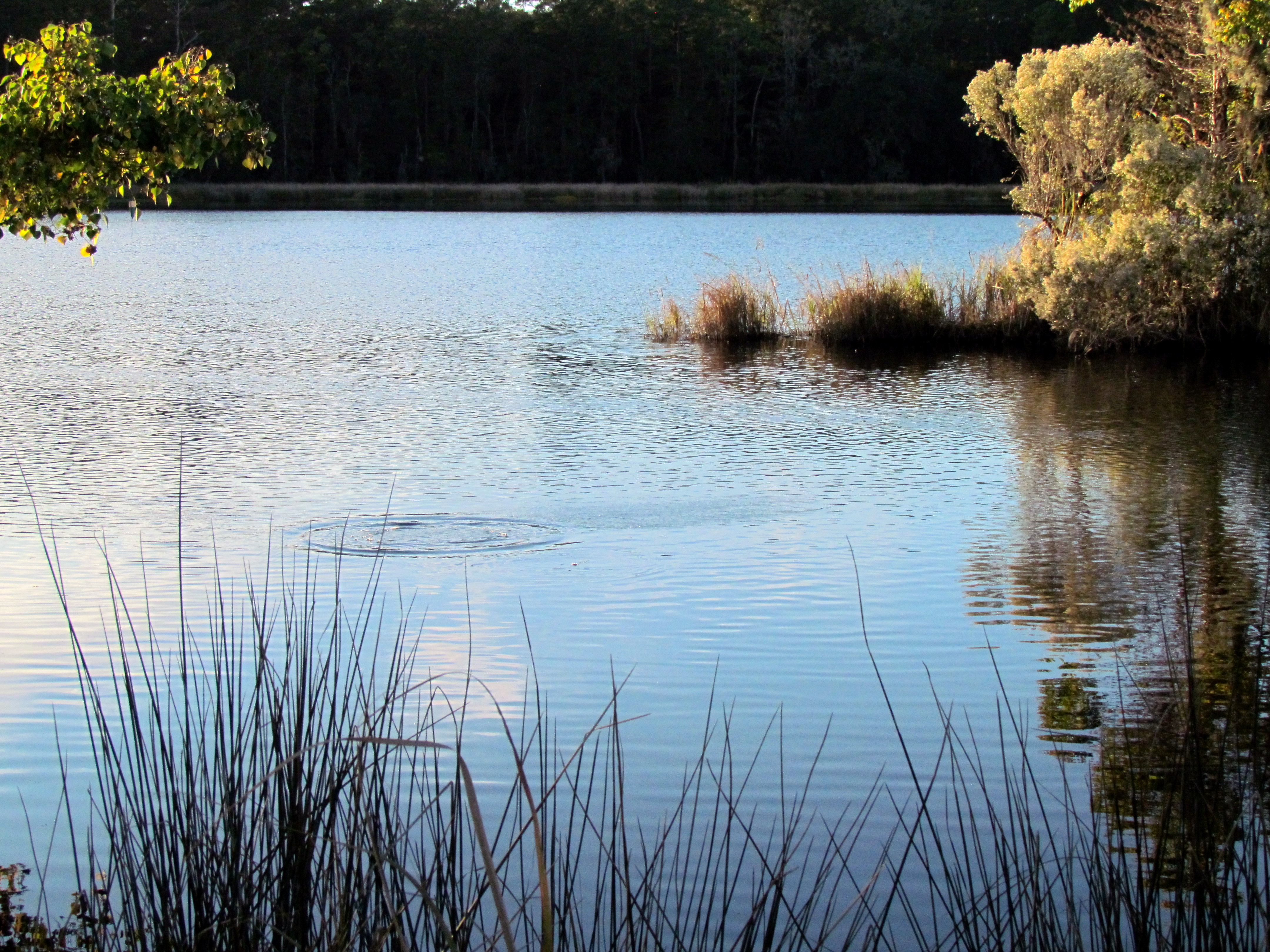
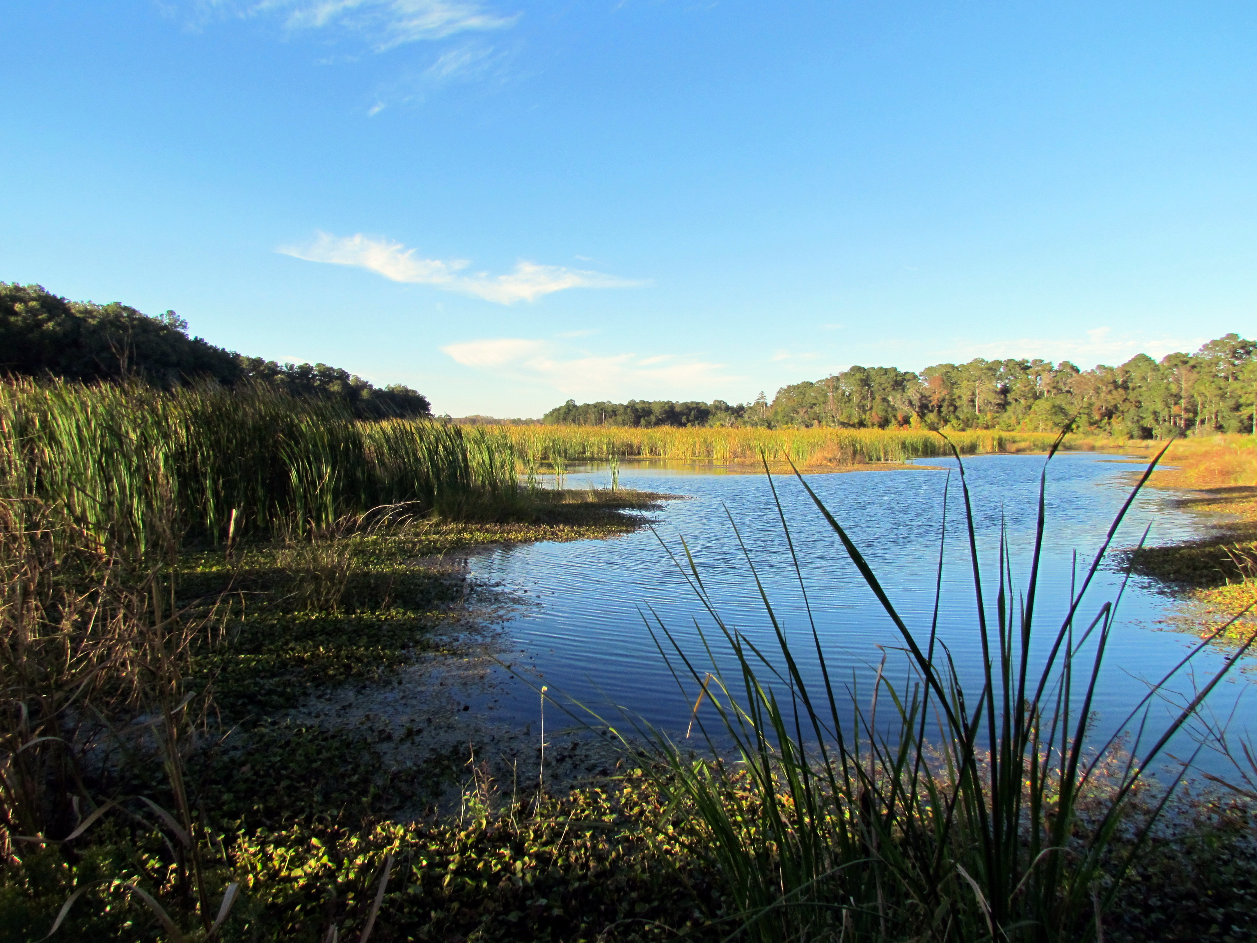
Donnelly Pond Panorama
02 Bennetts Point RD Green Pond SC 6829
Topographic Map of Wiggins Rd, Green Pond, SC, USA
Find elevation by address:

Places near Wiggins Rd, Green Pond, SC, USA:
Fields Point Ln, Green Pond, SC, USA
Wiggins Road
Bennetts Point Rd, Green Pond, SC, USA
2898 Wiggins Rd
Witsell Rd, Seabrook, SC, USA
State Rd S-7-, Seabrook, SC, USA
Kinloch Rd, Seabrook, SC, USA
Seabrook, SC, USA
395 Farm Rd
19 Reserve Dr
11 Reserve Dr
Bonny Hall Plantation
Pap Kee Lane
32 Booker T Washington Cir
16 Bull Corner Rd
98 Titus Dr
56 Jasmine Hall Rd
58 Jasmine Hall Rd
64 Jasmine Hall Rd
70 Jasmine Hall Rd
Recent Searches:
- Elevation of Corso Fratelli Cairoli, 35, Macerata MC, Italy
- Elevation of Tallevast Rd, Sarasota, FL, USA
- Elevation of 4th St E, Sonoma, CA, USA
- Elevation of Black Hollow Rd, Pennsdale, PA, USA
- Elevation of Oakland Ave, Williamsport, PA, USA
- Elevation of Pedrógão Grande, Portugal
- Elevation of Klee Dr, Martinsburg, WV, USA
- Elevation of Via Roma, Pieranica CR, Italy
- Elevation of Tavkvetili Mountain, Georgia
- Elevation of Hartfords Bluff Cir, Mt Pleasant, SC, USA