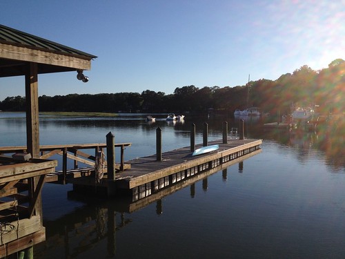
Elevation of Fields Point Ln, Green Pond, SC, USA
Location: United States > South Carolina > Green Pond >

Longitude: -80.55662

Latitude: 32.581582

Elevation: 8m / 26feet

Barometric Pressure: 101KPa

Elevation Map:

elevation map of Fields Point Ln, Green Pond, SC, USA
Satellite Map:

Satellite map of Fields Point Ln, Green Pond, SC, USA
Related Photos:

birdgreateryellowlegskks
Greater Yellowlegs
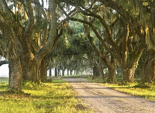
brick fog oak gate southcarolina tunnel spooky plantation spanishmoss dirtroad oaktree oaktrees oakavenue explored brickgate coosaw avenueofoaks brickentrance chisolmisland coosawplantation
Down Coosaw Lane - Explored
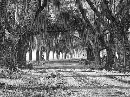
monochrome blackwhite southcarolina plantation spanishmoss beaufort oaktrees oakavenue beaufortcounty explored coosaw avenueofoaks coosawplantation
The Avenue of Oaks - Explored
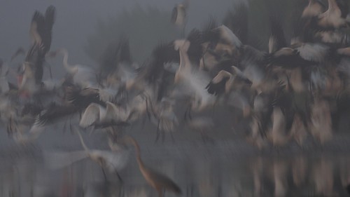
birdwoodstorkkks
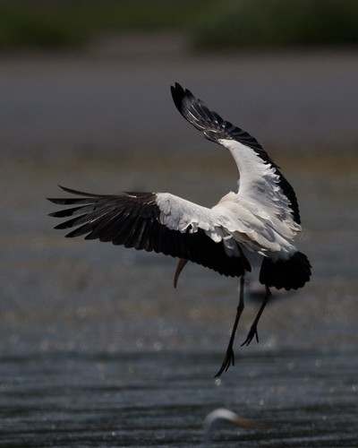
Wood Stork in flight abstract
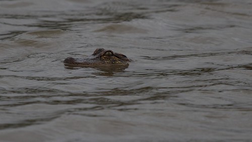
alligatorkks
Alligator head view
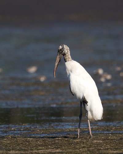
birdwoodstorkkks
Wood Stork Profile
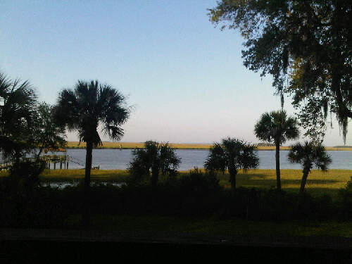
morning tree water river coast marsh palmetto
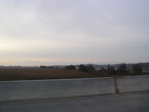
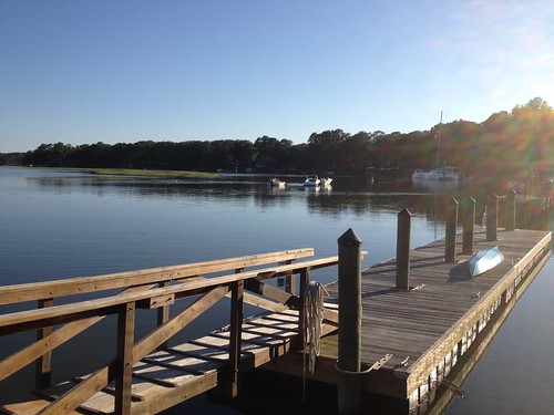
Morning View
ace 2009 combaheeriver colletoncounty acebasin myrtlegrove lowcountryplantations 2009april hdescopeland ashepoocombaheeedisto
Colleton County, Combahee River basin
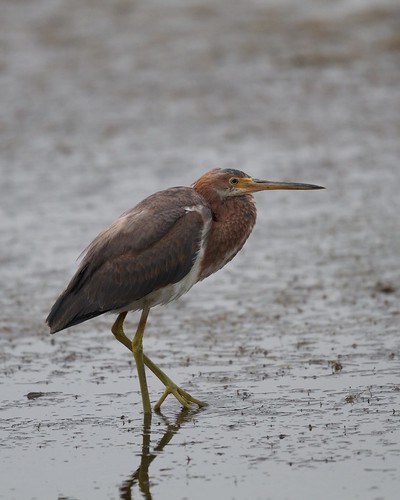
birdtricoloredheronkks
Tricolored Heron vertical view
rice civilwar openspace 2009 kingshighway carolinagold charlestonhighway ushighway17 riceculture harriettubmanbridge heywardplantations aliceravenelhugersmith 2009april heywardfamily hdescopeland
Colleton County, Combahee River basin
birdwoodstorklandingkks
Wood Stork Landing - Side View
birdwoodstorkflyinglandingkks
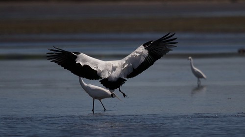
Wood Stork Landing - Wings outstretched
birdroseatespoonbillkks
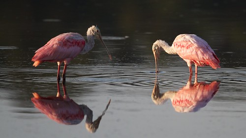
Roseate Spoonbills feeding
geotagged southcarolina acebasin geo:lat=32675186 geo:lon=80590288
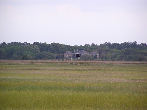
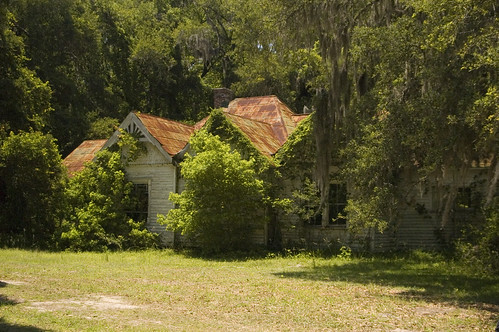
abandoned house 1
birdblackneckedstiltkks
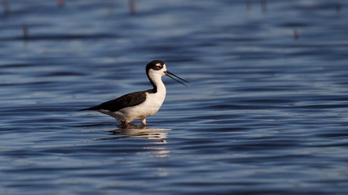
Wading Black-necked Stilt
geotagged southcarolina gas pump bluebird geo:lat=32668054 geo:lon=8057343
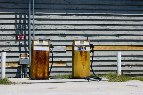
Bluebird and Diesel
geotagged southcarolina acebasin geo:lat=32675186 geo:lon=80590288
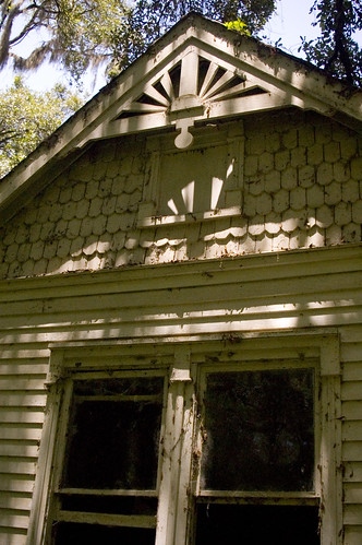
abandoned house 2
geotagged southcarolina bearisland acebasin geo:lat=32622528 geo:lon=80441851
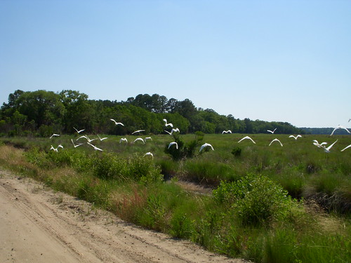
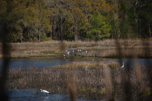
White Birds
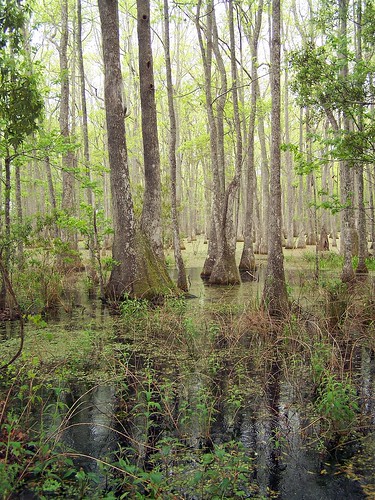
friends nature spider woods nest turtle southcarolina saturday adventure swamp eggs april ricefields alligators wildliferefuge orest greenkayak73 onlythebestare donnellywma lowcountryramble
LowCountry Ramble: In the Swamp
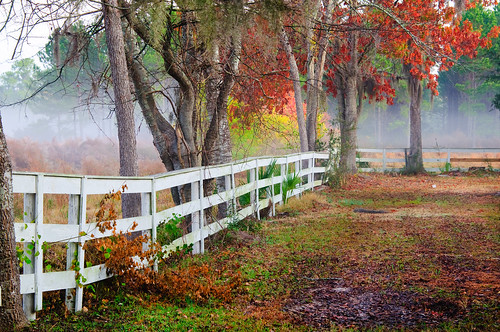
trees horse fog fence landscape south low country southern beaufort seabrook lowcountry superaplus aplusphoto coosaw
Coosaw Horse Fence
God's Cathedral
Camera Roll-127
Camera Roll-118
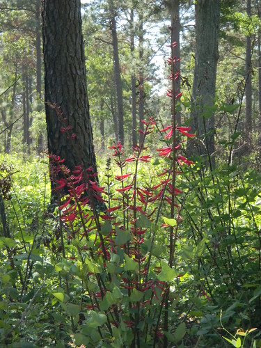
Red Flower
Camera Roll-117
Camera Roll-126
square squareformat iphoneography instagramapp xproii uploaded:by=instagram
Laurel Springs Plantation #lowcountry #southcarolina #plantation #slavecabin
Camera Roll-122
sc unitedstates southcarolina bikeriding lcu colletoncounty acebasin lowcountryunfiltered donnelleywma
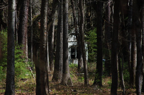
Boynton House through the Woods
Camera Roll-119
sc unitedstates southcarolina bikeriding lcu colletoncounty acebasin lowcountryunfiltered donnelleywma
ACE Basin Birds
Camera Roll-128
sc nature wetland bennettpointrd
43 Bennetts Point RD Green Pond SC 6871
southcarolina colletoncounty acebasin donnellywma
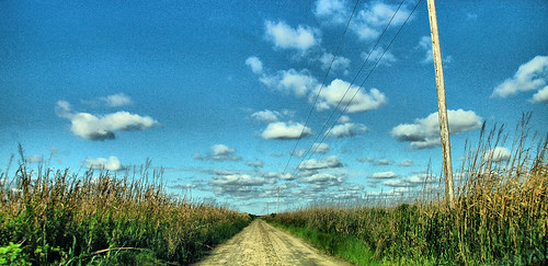
Bear Island Road
Camera Roll-114
sc unitedstates southcarolina bikeriding lcu colletoncounty acebasin lowcountryunfiltered donnelleywma
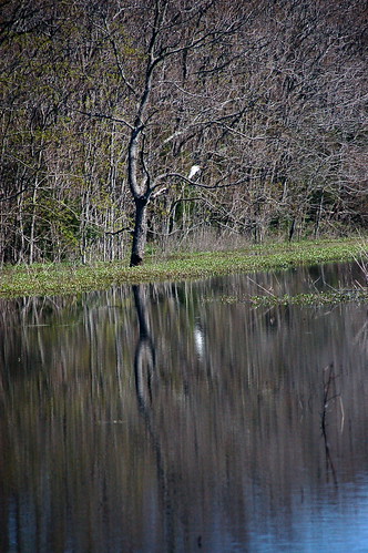
Bird Reflection
sc nature wetland bennettpointrd
06 Bennetts Point RD Green Pond SC 6833
sc nature animal reptile wildlife south alligator american carolina wma lowcountry dnr donnelley
American Alligator