Elevation of Wick, WV, USA
Location: United States > West Virginia > Tyler County > South >
Longitude: -80.973997
Latitude: 39.4131333
Elevation: 233m / 764feet
Barometric Pressure: 99KPa
Elevation Map:
Satellite Map:
Related Photos:

"1918; Duncan Construction Company, Contractor, Marlinton, W. Va.," it says.

Lowa Leandro, side view.

Route Seven Mailpouch Barn

Lowa Leandro, top view.

O the mud!

United Woolen Mills

The "double yellow lines" portions of our ideations of "country roads" in rural West Virginia.
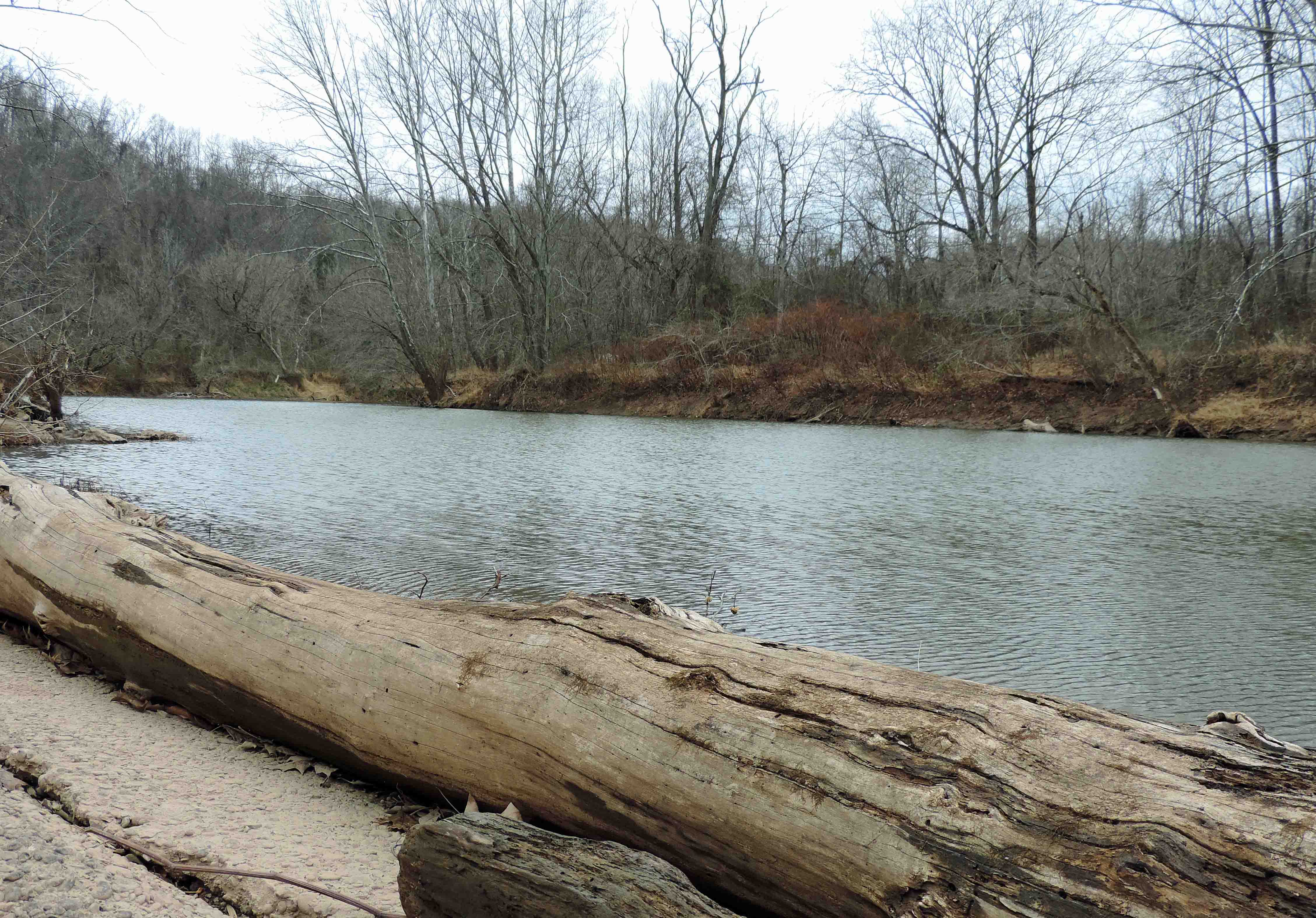
Looking Up the Creek
MIddle Island Creek at the Jug

Down Middle Island Creek
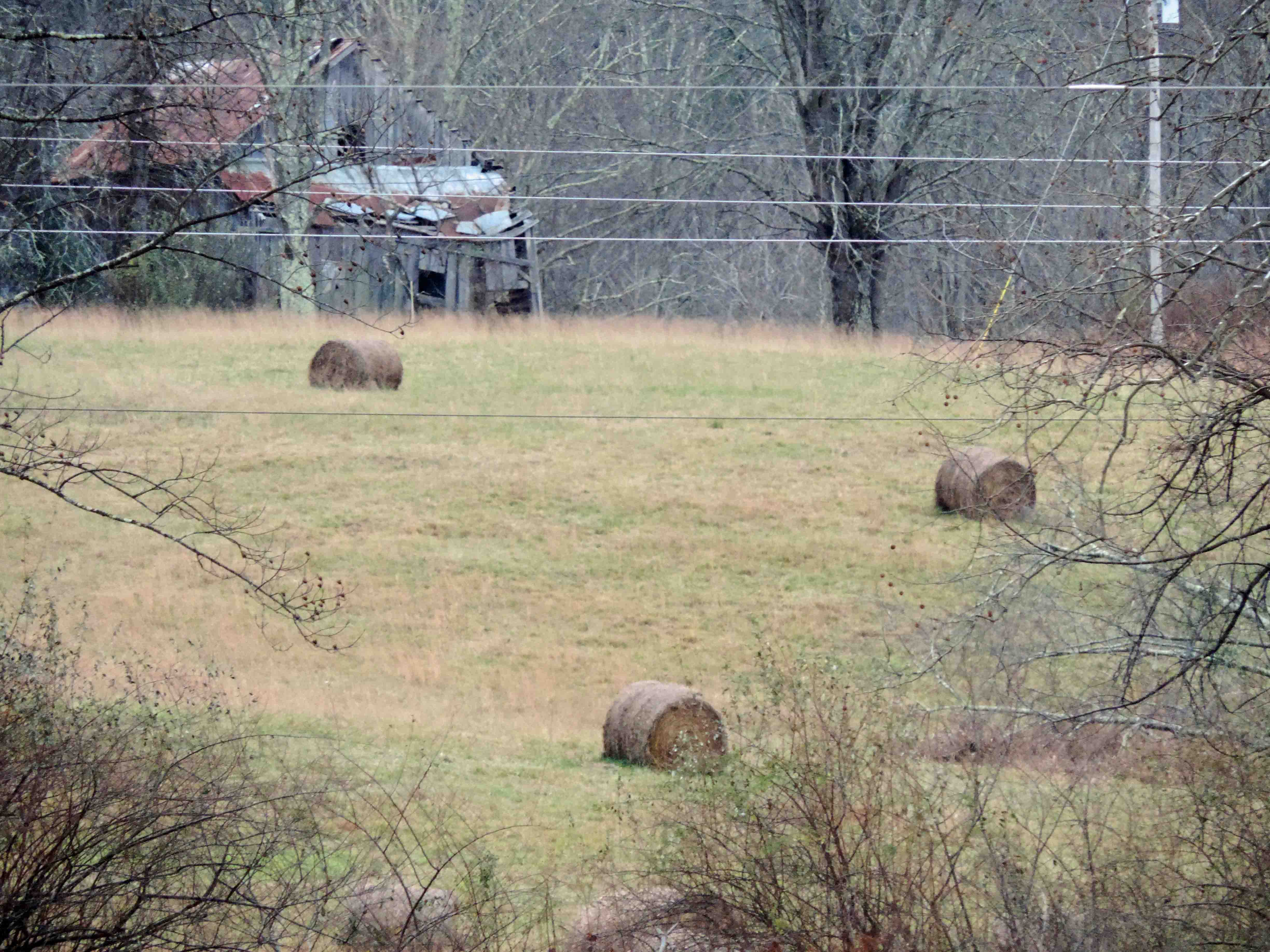
Bales of Hay and Broken Down Barn

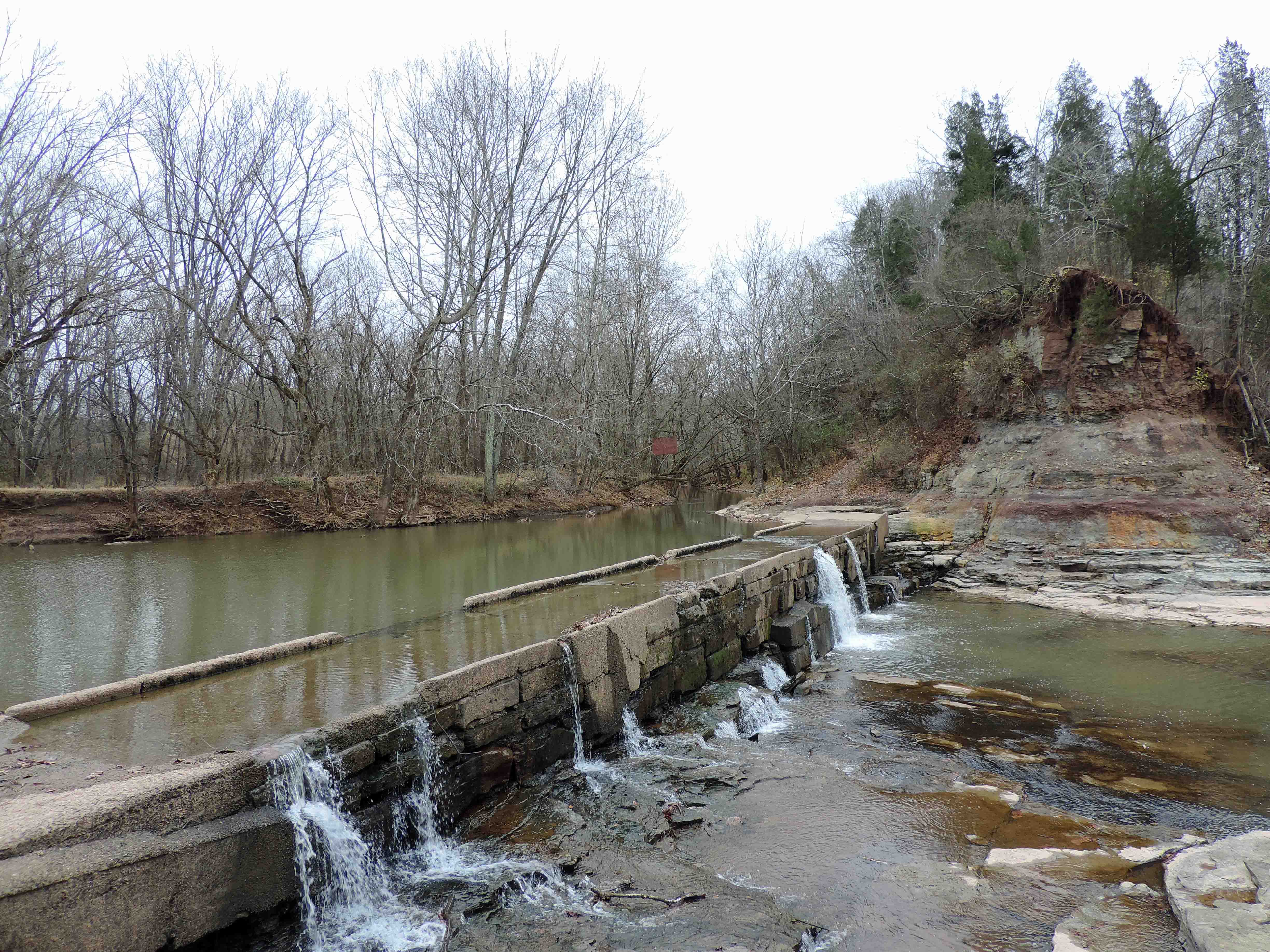
Water Over a Low Water Bridge

The Jug

A Low Water Bridge and a Creek

Low Water Bridge and Pool

Creek Water Over and Through a Bridge

down below the bridge

The Jug

Below the Jug

Sistersville Country Club

The Lake

Cattails and Fishing

The Ohio River Glistening in the Sun

Across a Lake

Corner of a Lake
Topographic Map of Wick, WV, USA
Find elevation by address:

Places near Wick, WV, USA:
Co Rte 3/11, Bens Run, WV, USA
Central
Beech Run, Friendly, WV, USA
750 Pleasant Ridge Rd
Middlebourne
D
Friendly
Matamoras
New Matamoras
North
Pleasants County
Grandview Township
St. Marys High School
Rinard Mills Rd, New Matamoras, OH, USA
Willie St, St Marys, WV, USA
Saint Marys
OH-, New Matamoras, OH, USA
Township Road 34
Ludlow Township
Recent Searches:
- Elevation of Shibuya Scramble Crossing, 21 Udagawacho, Shibuya City, Tokyo -, Japan
- Elevation of Jadagoniai, Kaunas District Municipality, Lithuania
- Elevation of Pagonija rock, Kranto 7-oji g. 8"N, Kaunas, Lithuania
- Elevation of Co Rd 87, Jamestown, CO, USA
- Elevation of Tenjo, Cundinamarca, Colombia
- Elevation of Côte-des-Neiges, Montreal, QC H4A 3J6, Canada
- Elevation of Bobcat Dr, Helena, MT, USA
- Elevation of Zu den Ihlowbergen, Althüttendorf, Germany
- Elevation of Badaber, Peshawar, Khyber Pakhtunkhwa, Pakistan
- Elevation of SE Heron Loop, Lincoln City, OR, USA