Elevation of South, WV, USA
Location: United States > West Virginia > Tyler County >
Longitude: -80.854384
Latitude: 39.4155437
Elevation: 274m / 899feet
Barometric Pressure: 98KPa
Elevation Map:
Satellite Map:
Related Photos:
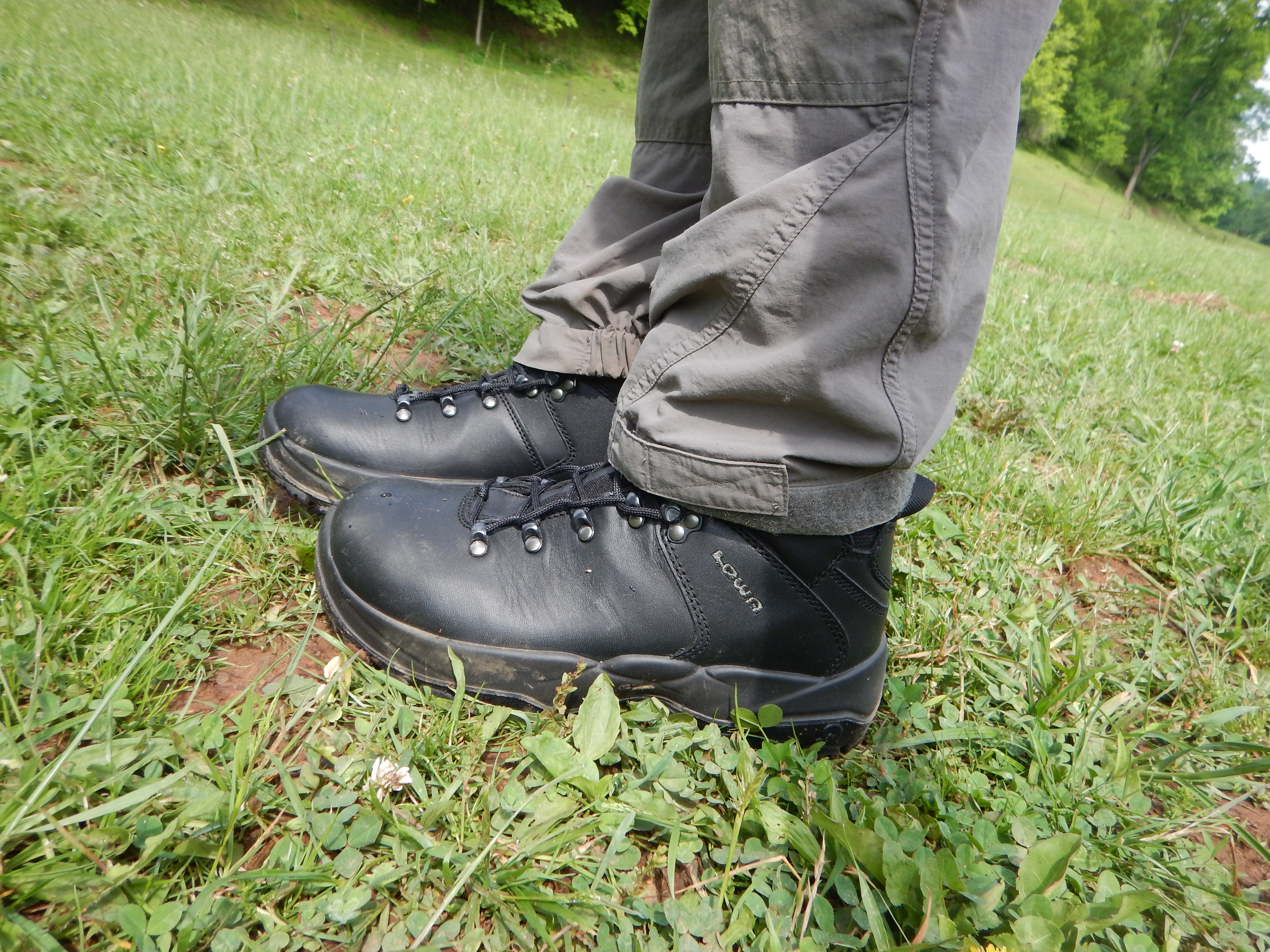
Lowa Leandro, side view.
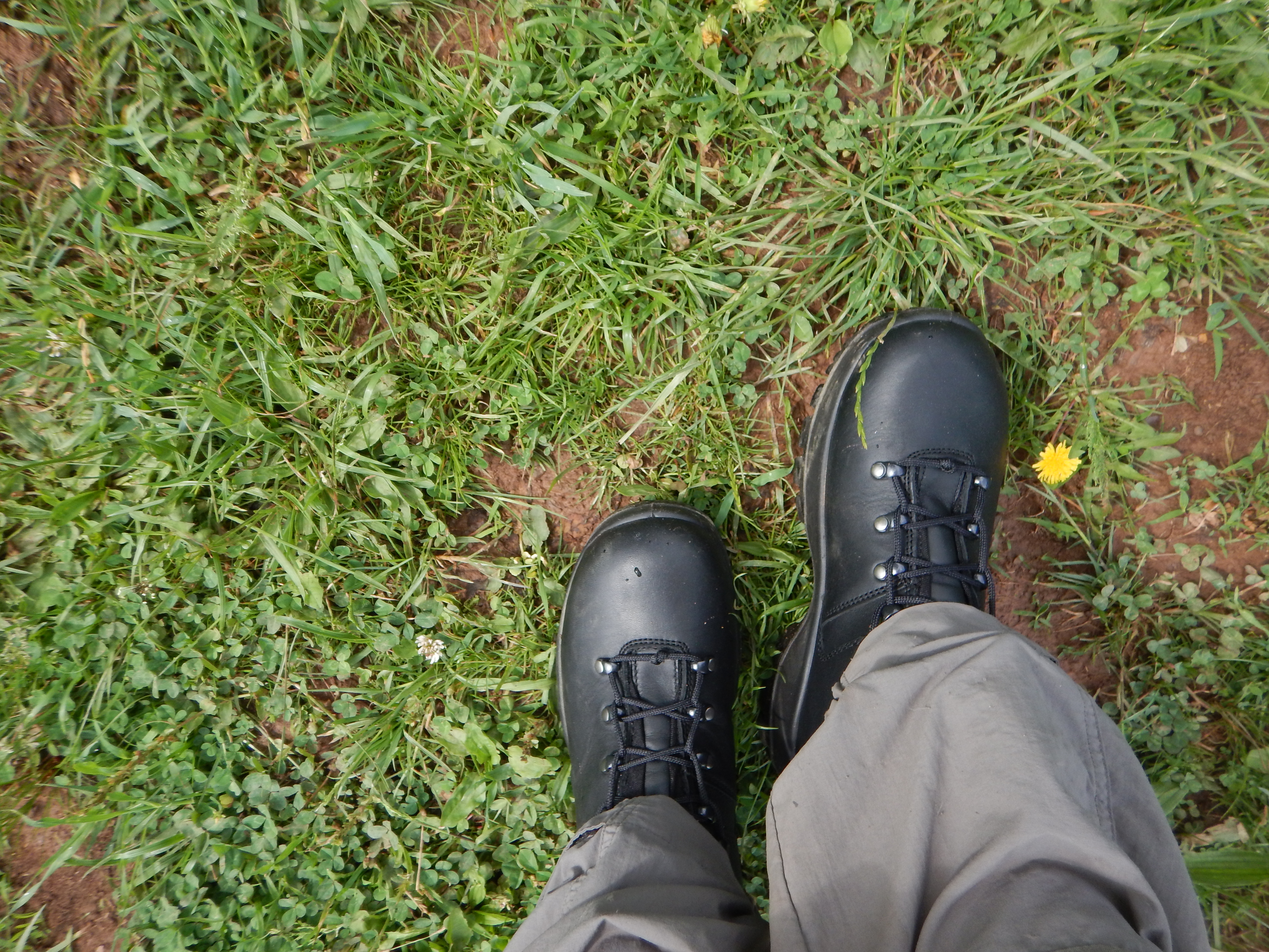
Lowa Leandro, top view.

Tyler County, West Virginia

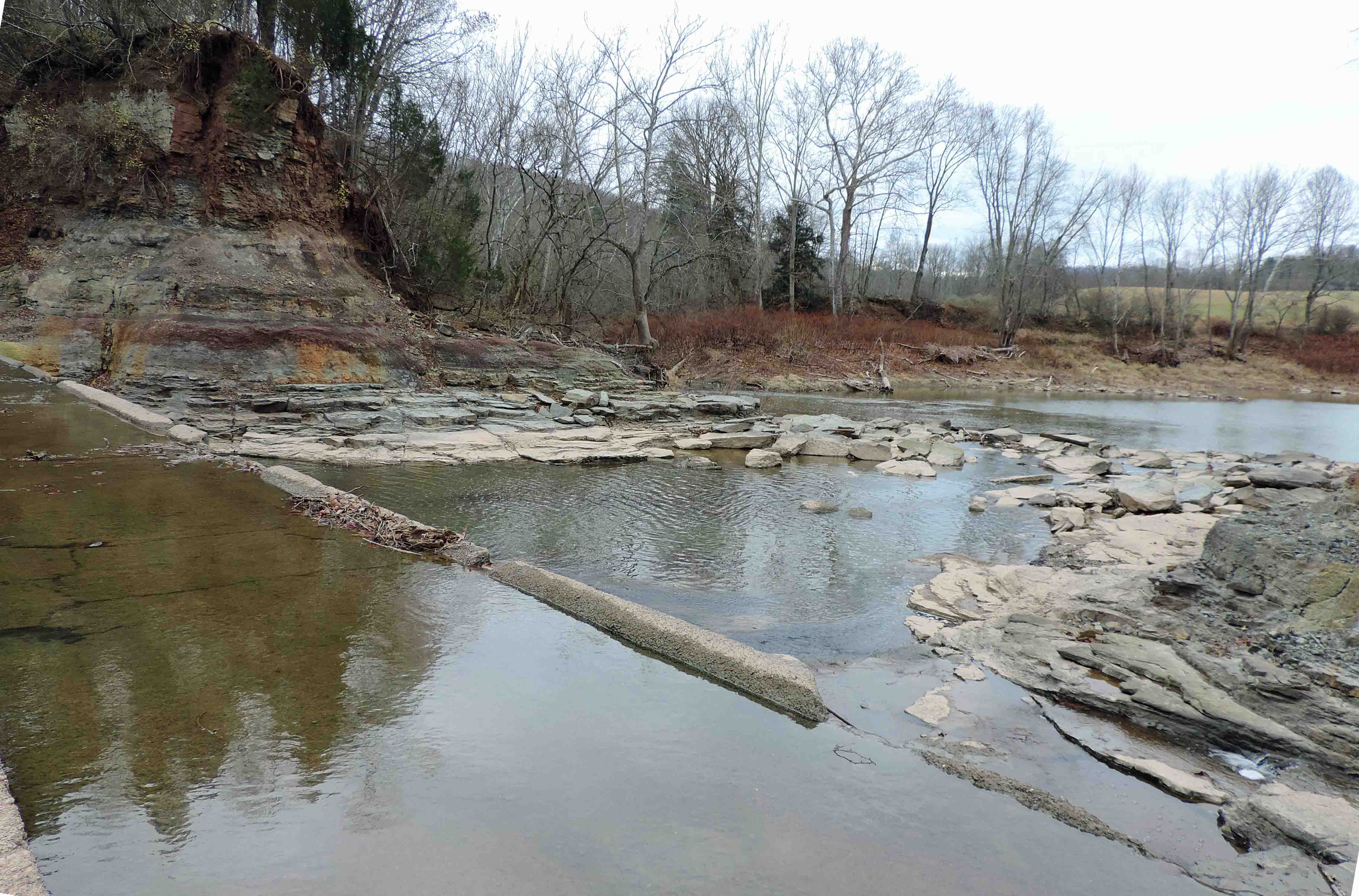
The Jug
The Jug
down below the bridge
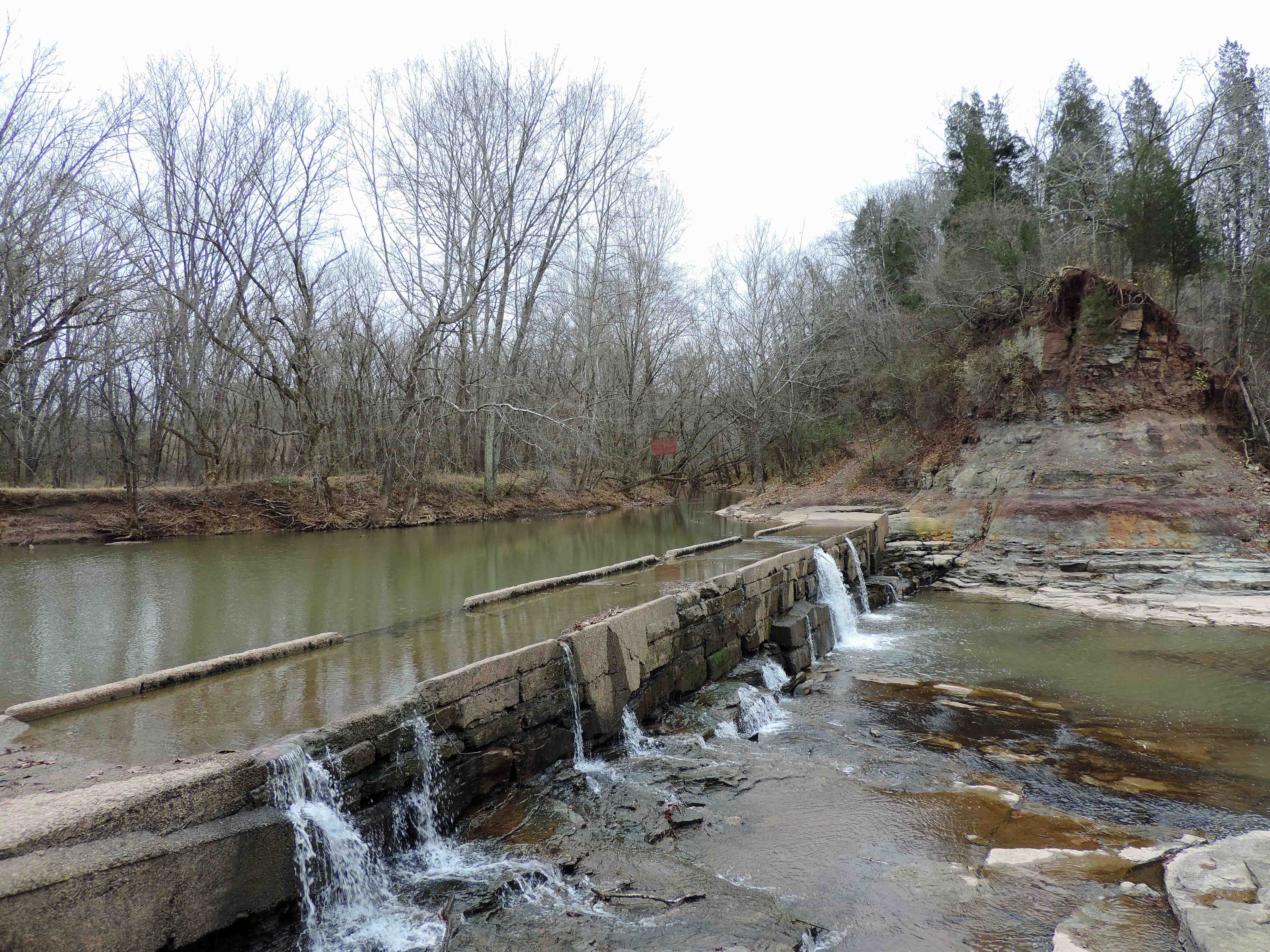
MIddle Island Creek at the Jug
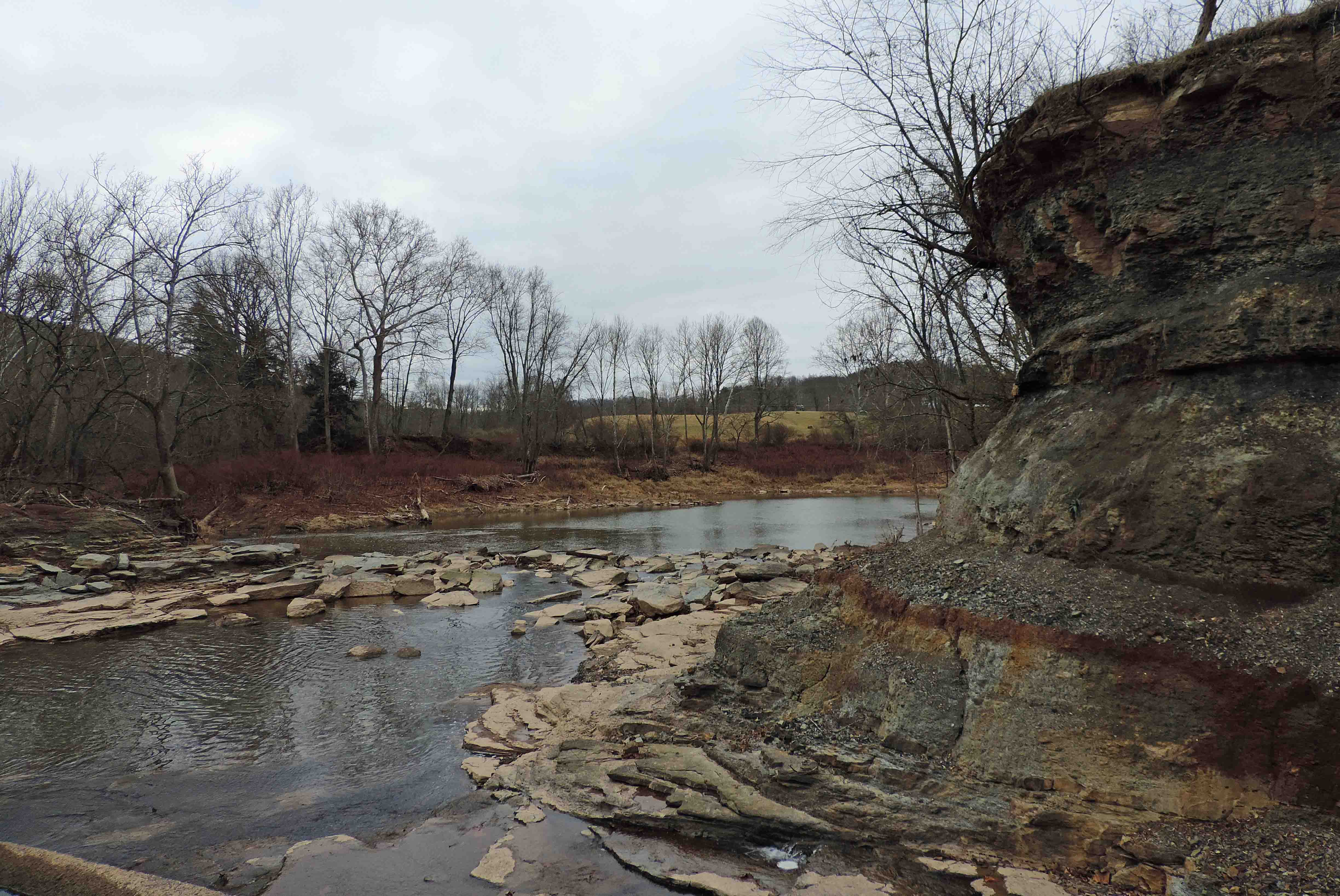
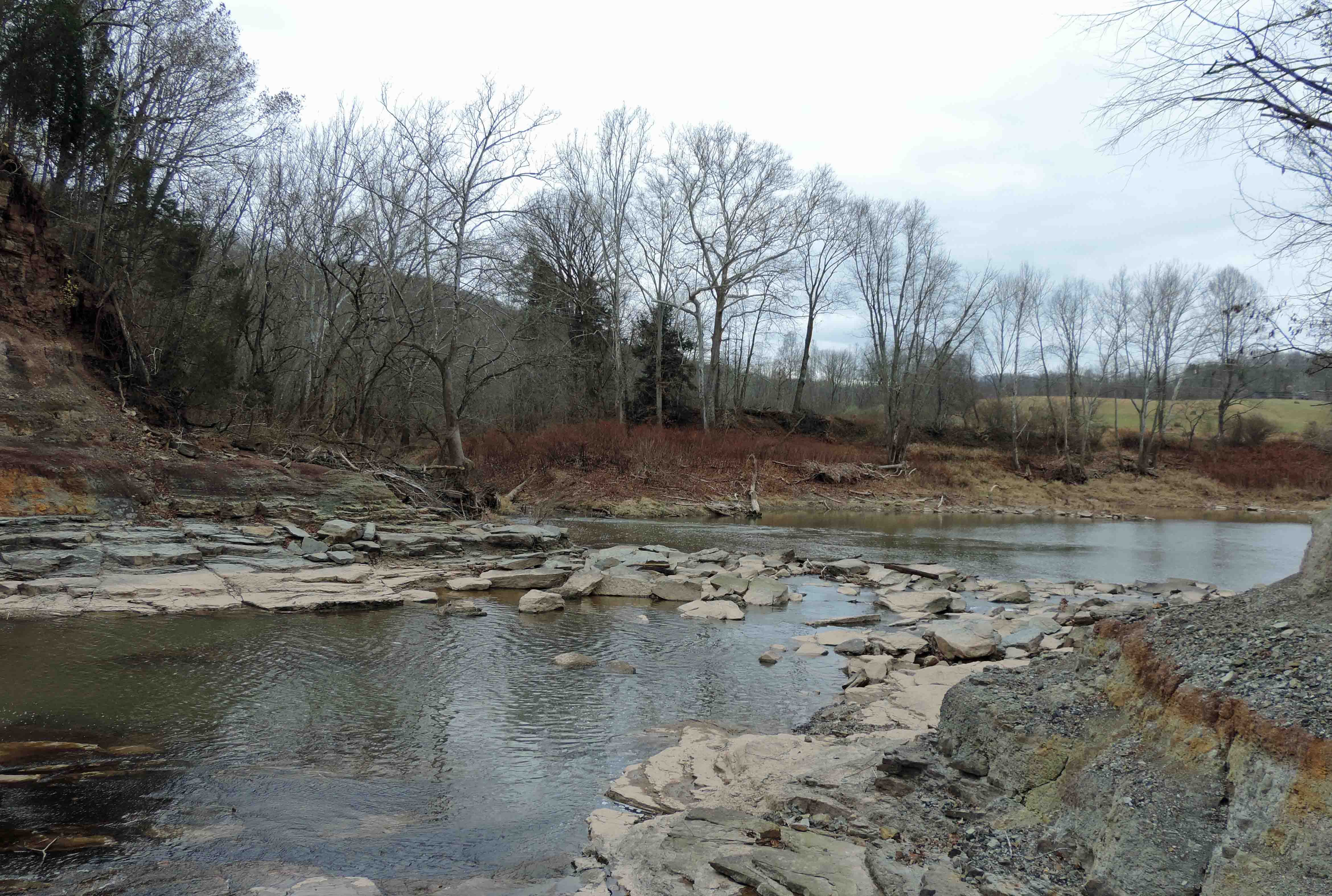
Down Middle Island Creek

Looking Up the Creek
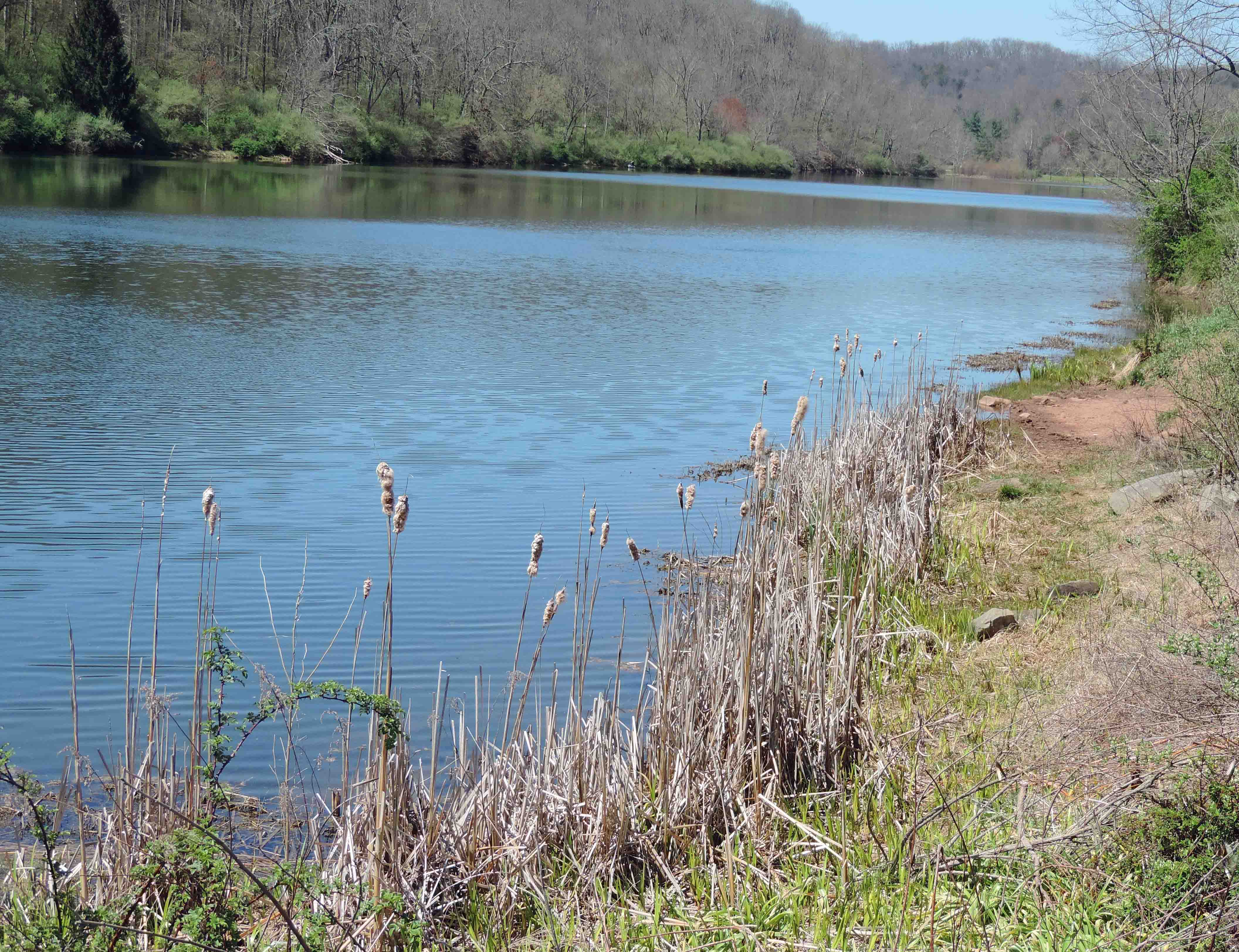
The Lake

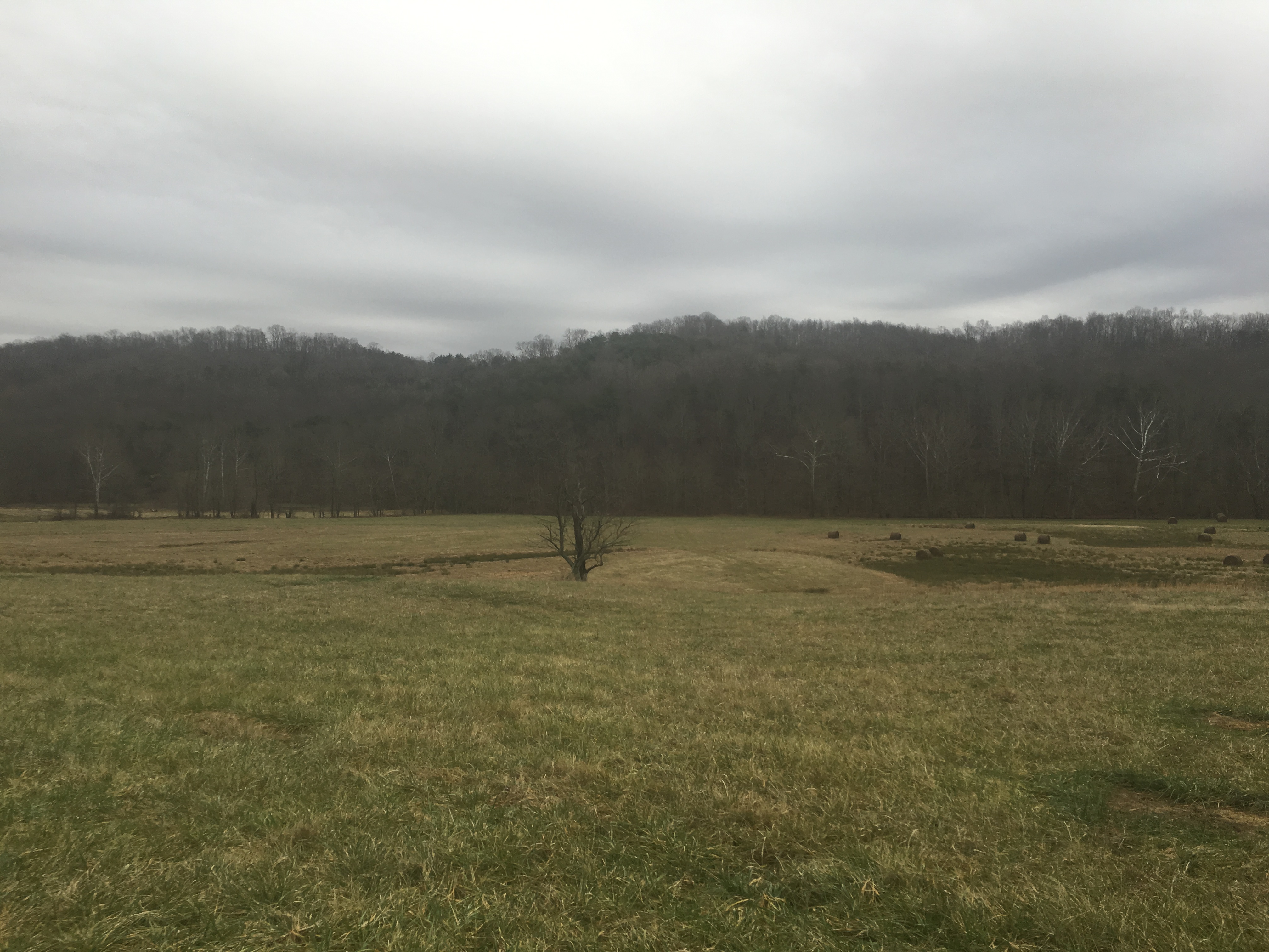
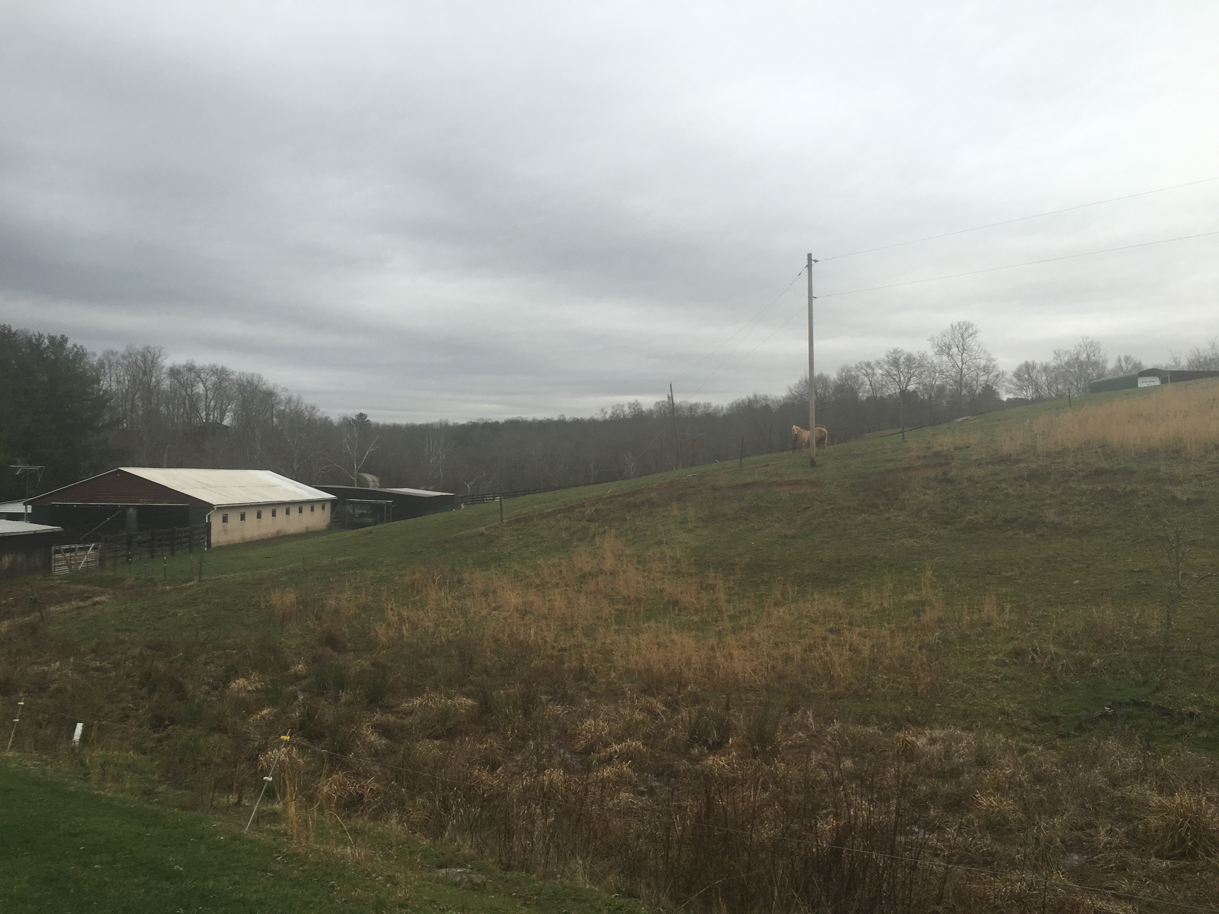
Bales of Hay and Broken Down Barn

Cattails and Fishing

Water Over a Low Water Bridge
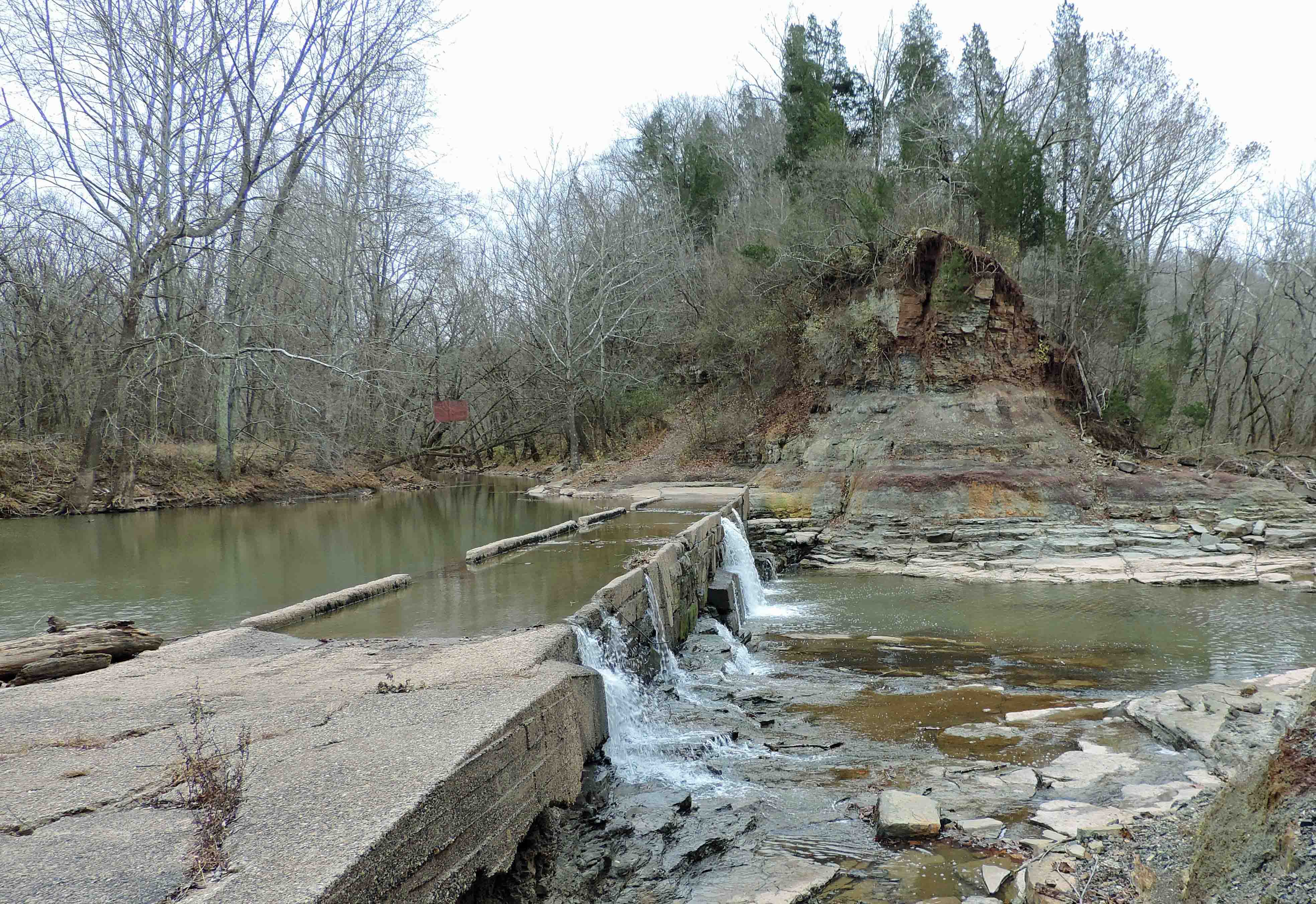
A Low Water Bridge and a Creek
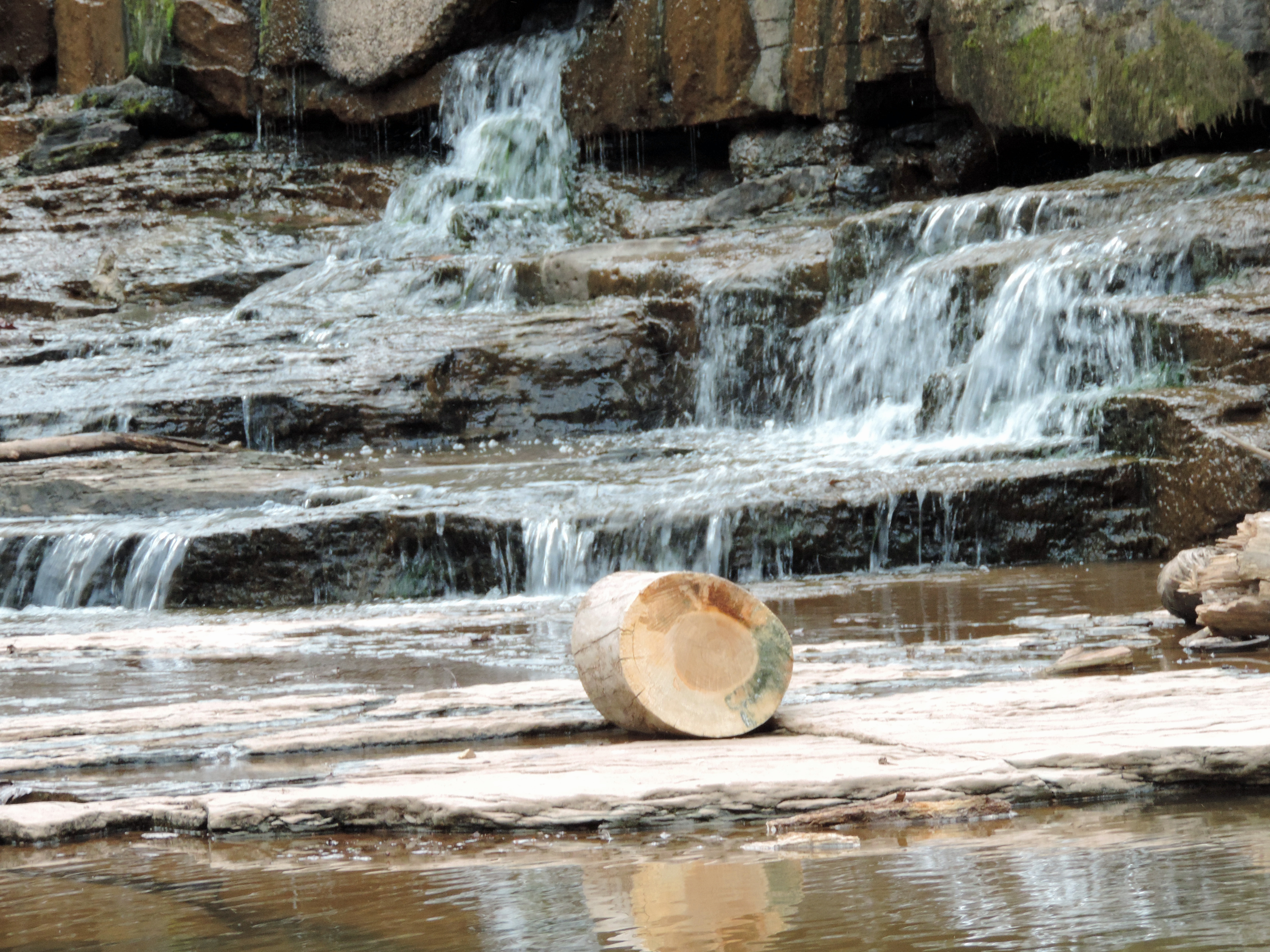
Below the Jug

Across a Lake
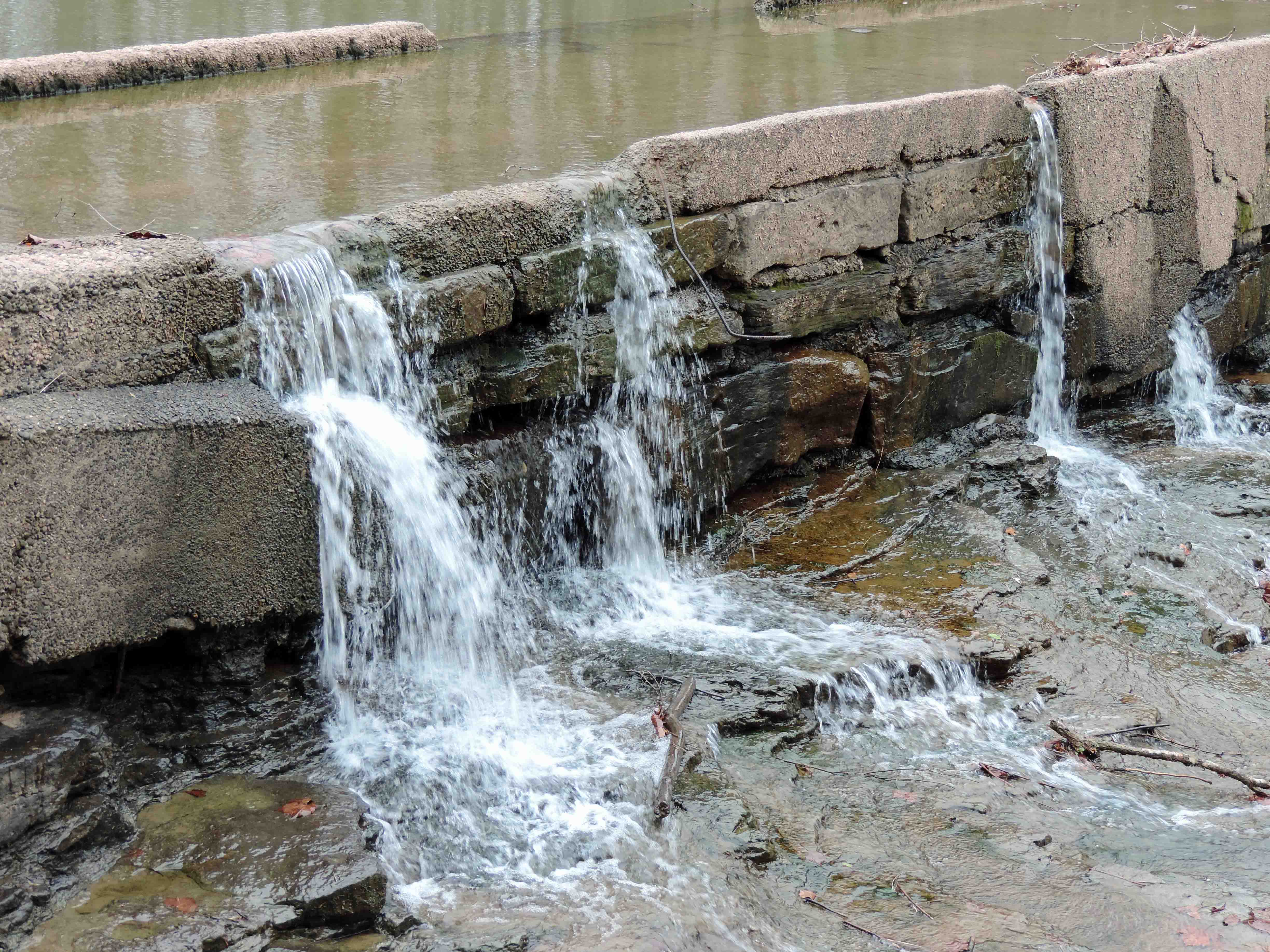
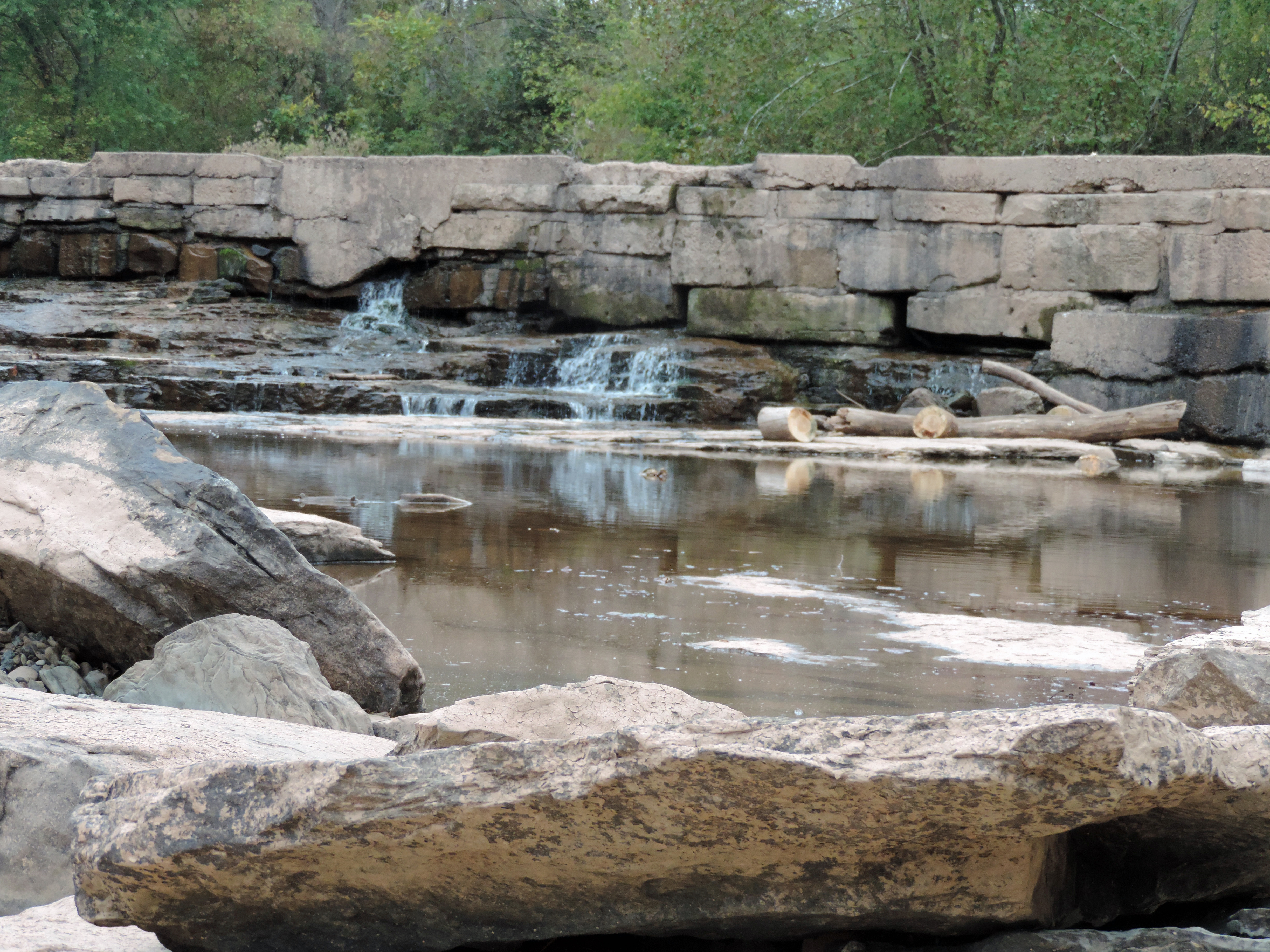
Creek Water Over and Through a Bridge
Low Water Bridge and Pool
2015-12-28 09.56.53
2015-12-28 10.03.36
2015-12-28 09.57.00
2015-12-27 10.52.52
2015-12-27 10.52.56
Topographic Map of South, WV, USA
Find elevation by address:

Places in South, WV, USA:
Places near South, WV, USA:
Alma
11 Lemasters Rd, Alma, WV, USA
Tyler County
Middlebourne
750 Pleasant Ridge Rd
Wick
North
County Road 44
Central
Co Rte 3/11, Bens Run, WV, USA
Cider Run Rd, New Martinsville, WV, USA
20 Chiselfinger Ridge Rd, Porters Falls, WV, USA
Porters Falls
West
Piney
Beech Run, Friendly, WV, USA
Reader
5124 Piney Fork Rd
6941 Mountaineer Hwy
Paden City
Recent Searches:
- Elevation of 30 Oak Lawn Dr, Barkhamsted, CT, USA
- Elevation of Luther Road, Luther Rd, Auburn, CA, USA
- Elevation of Unnamed Road, Respublika Severnaya Osetiya — Alaniya, Russia
- Elevation of Verkhny Fiagdon, North Ossetia–Alania Republic, Russia
- Elevation of F. Viola Hiway, San Rafael, Bulacan, Philippines
- Elevation of Herbage Dr, Gulfport, MS, USA
- Elevation of Lilac Cir, Haldimand, ON N3W 2G9, Canada
- Elevation of Harrod Branch Road, Harrod Branch Rd, Kentucky, USA
- Elevation of Wyndham Grand Barbados Sam Lords Castle All Inclusive Resort, End of Belair Road, Long Bay, Bridgetown Barbados
- Elevation of Iga Trl, Maggie Valley, NC, USA