Elevation of Whitwell, TN, USA
Location: United States > Tennessee > Marion County > Whitwell >
Longitude: -85.478806
Latitude: 35.2624058
Elevation: 218m / 715feet
Barometric Pressure: 99KPa
Elevation Map:
Satellite Map:
Related Photos:
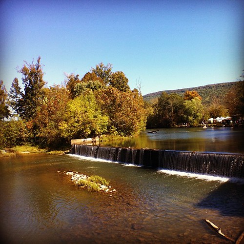
Weekend Festival - view from the Mill.
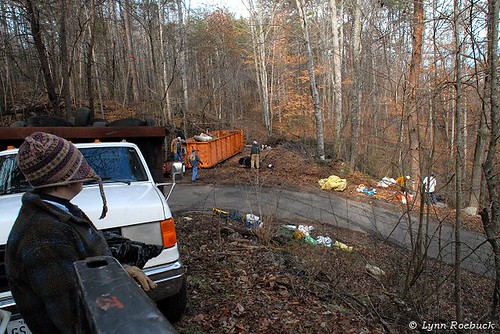
Karst Clean Up Whitwell TN

Unnamed waterfall two seen along the old Dixie Highway
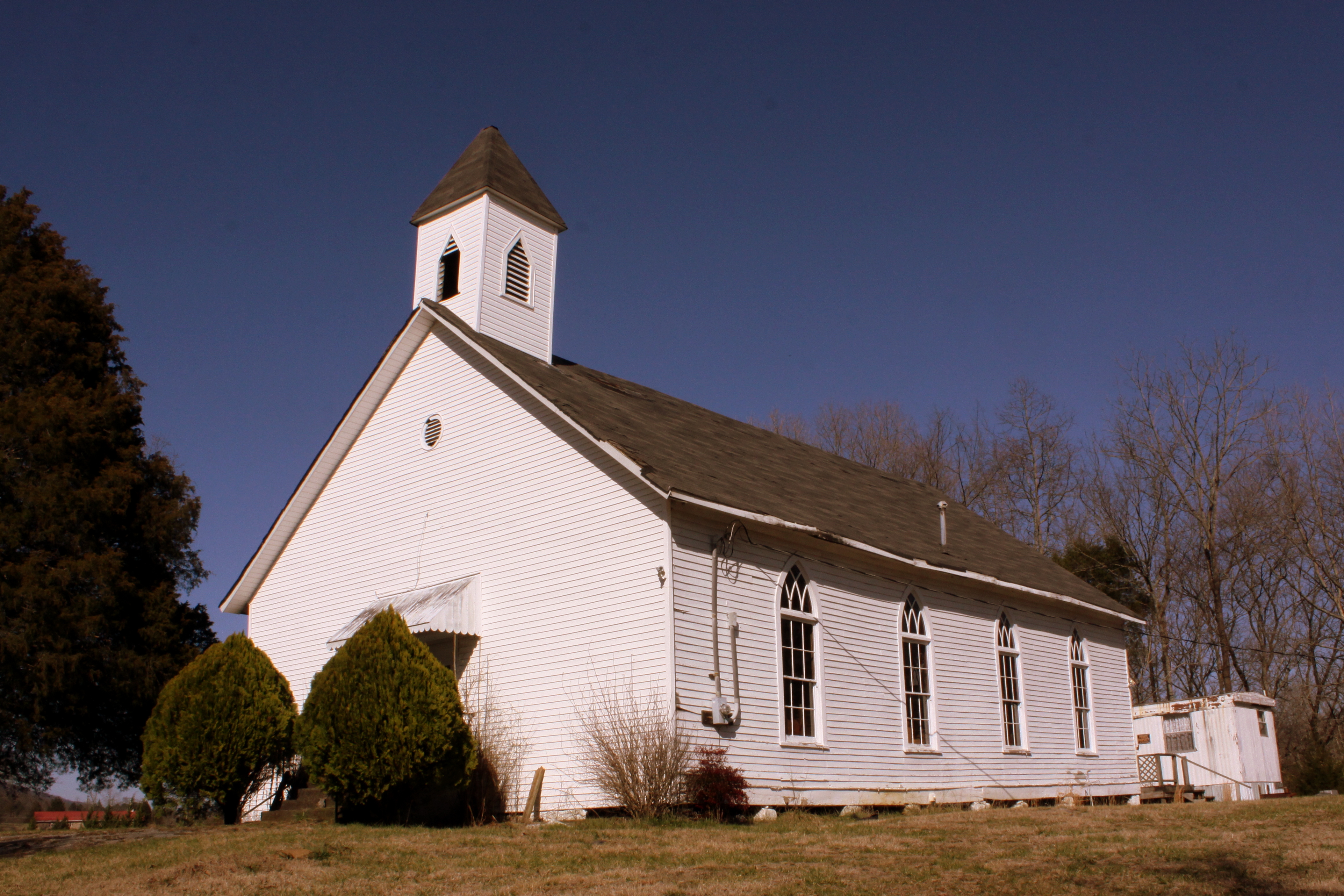
Bethel Church - Victoria, TN
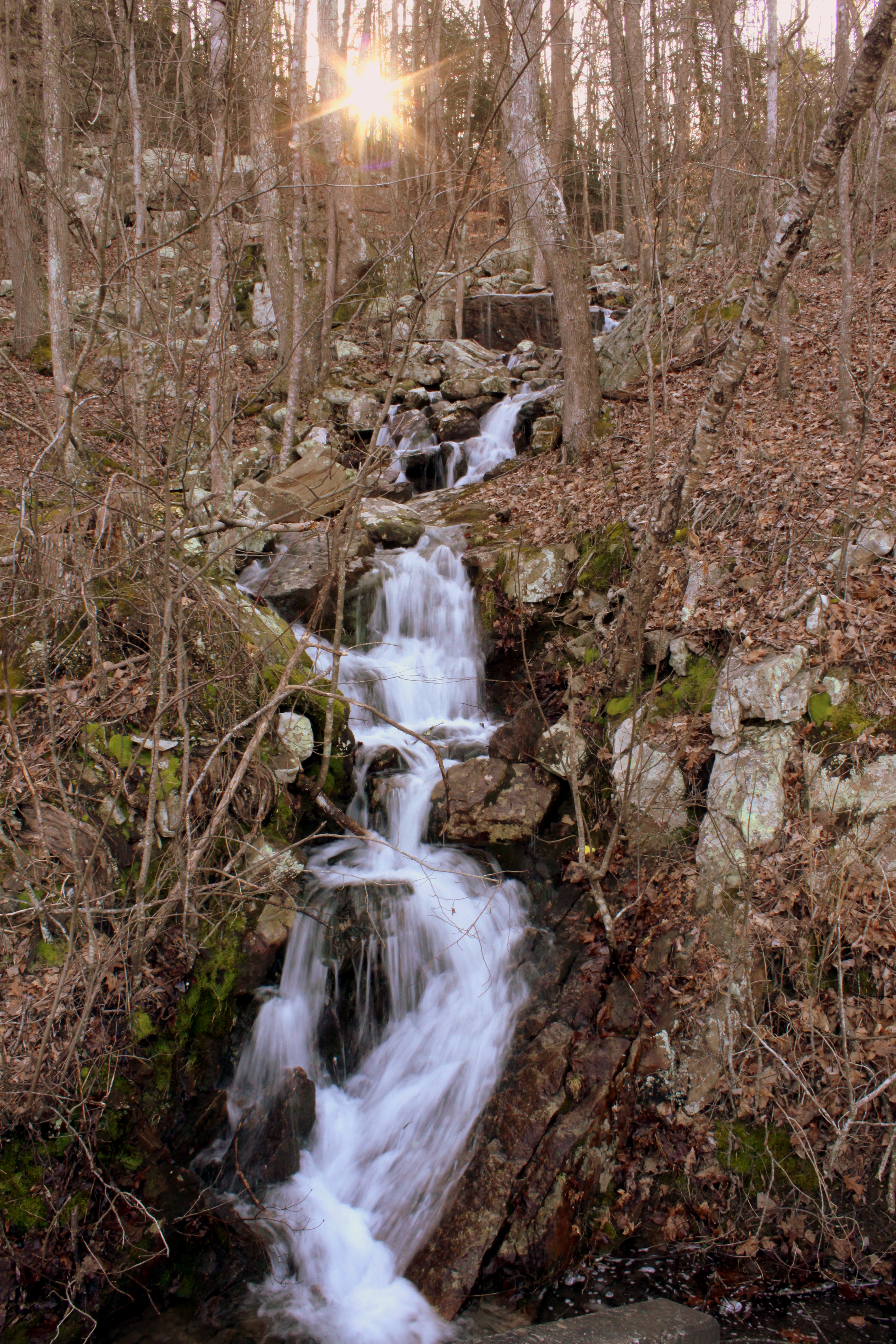
Unnamed waterfall one seen along the old Dixie Highway
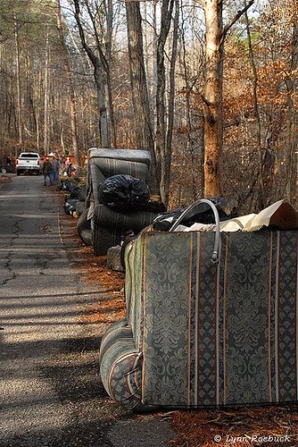
Whitwell TN Garbage
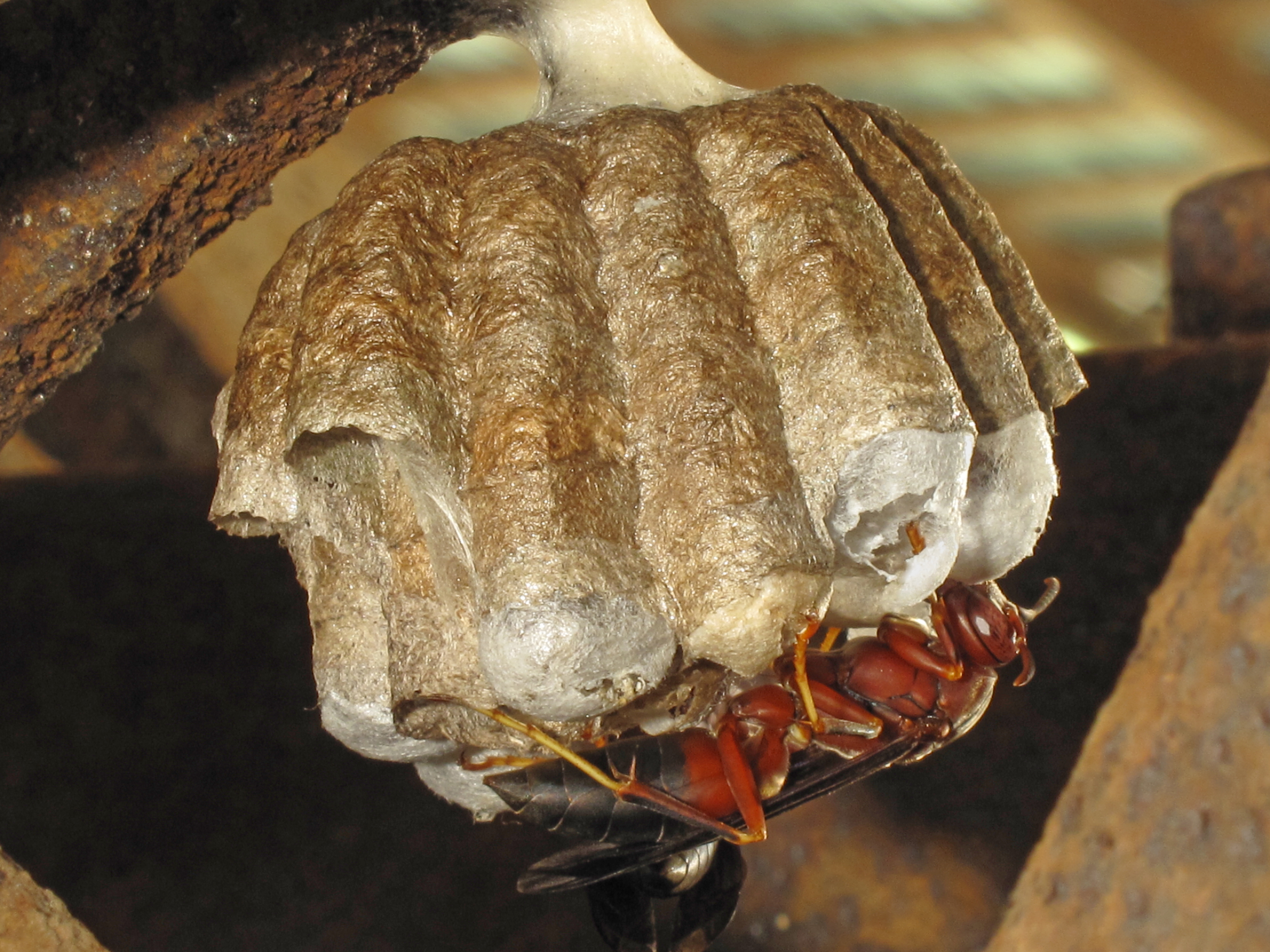
Polistes metricus, Ketner's Mill, Sequatchie Valley, Marion County, Tennessee 1
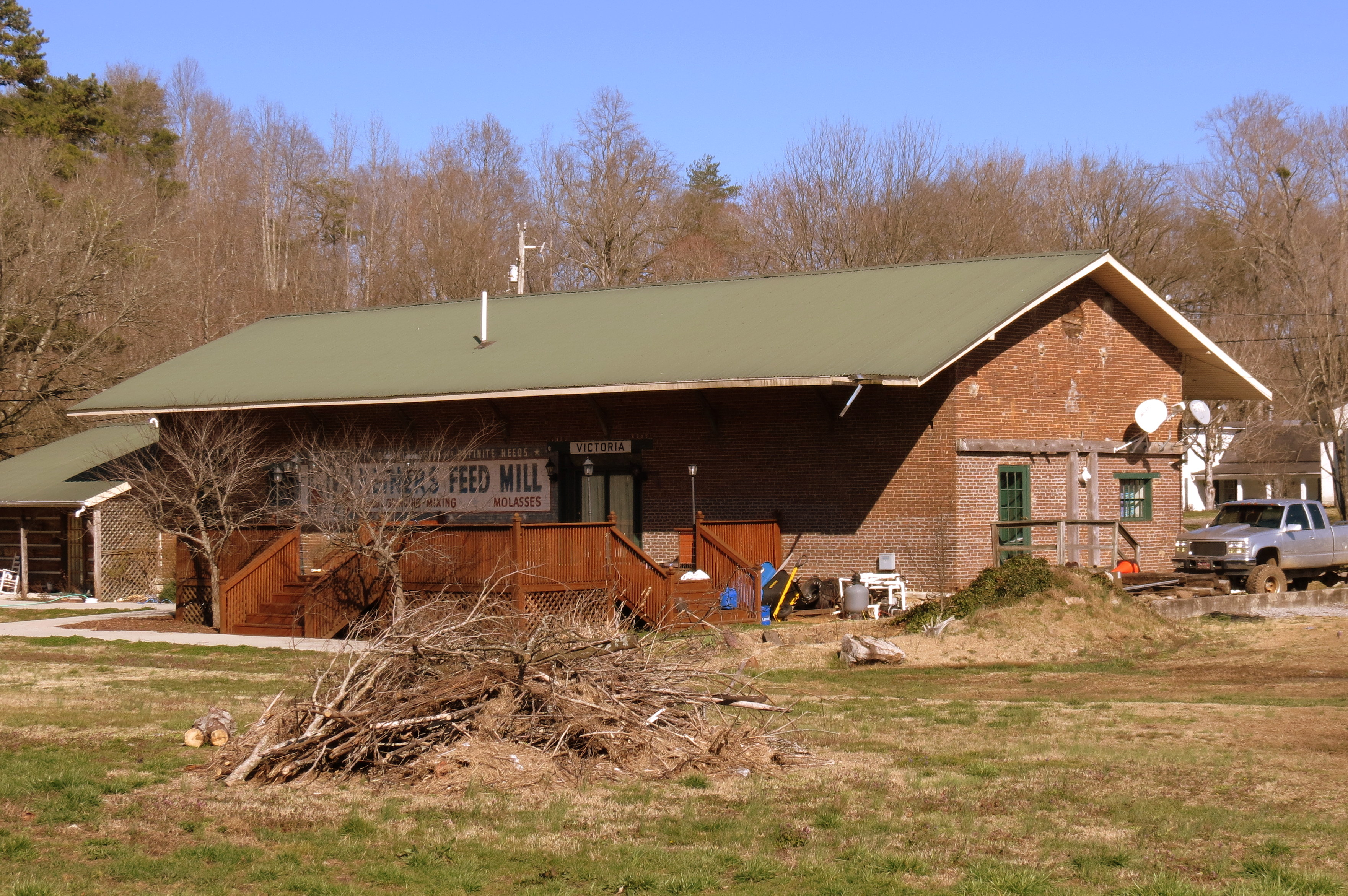
Victoria, TN train depot

Sequatchie County, TN Courthouse - Dunlap, TN

111024 Dunlap, TN

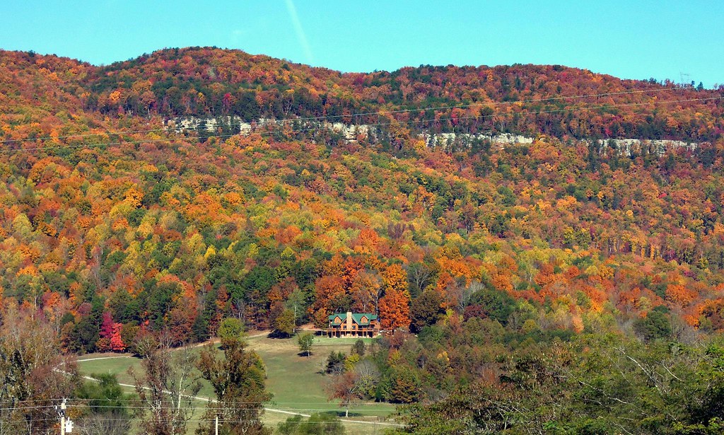
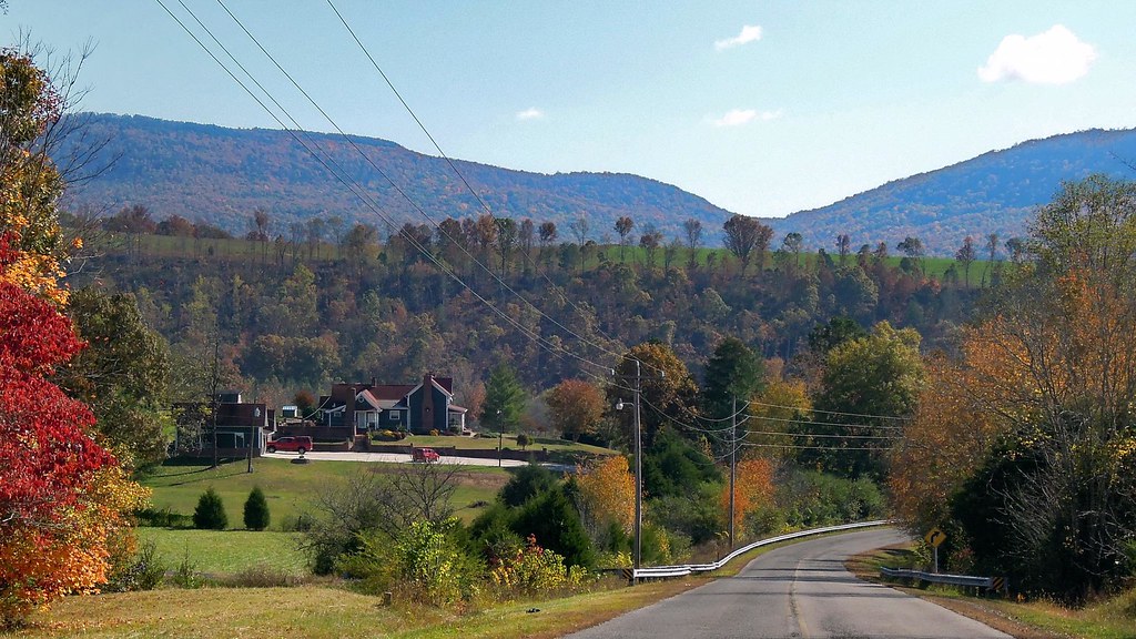
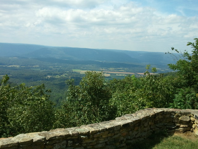
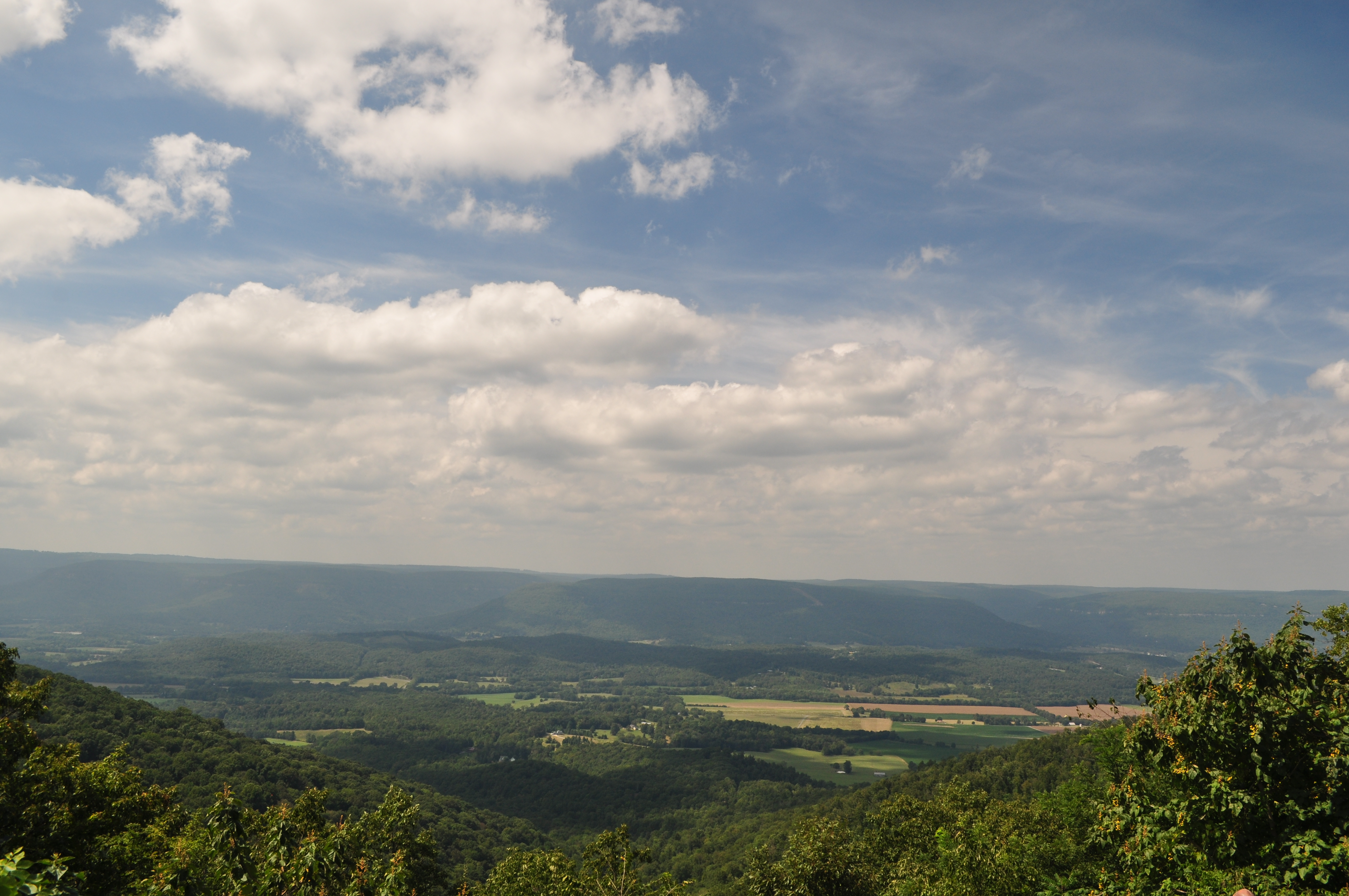
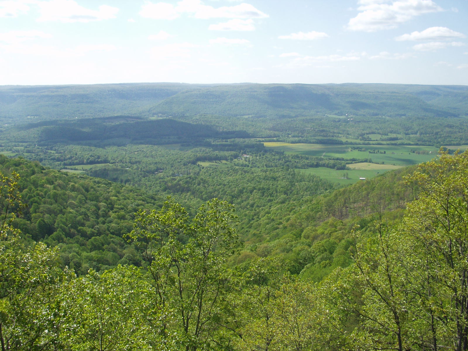
Sunset in Sequatchie Valley
111024 Dunlap, TN
111024 Dunlap, TN
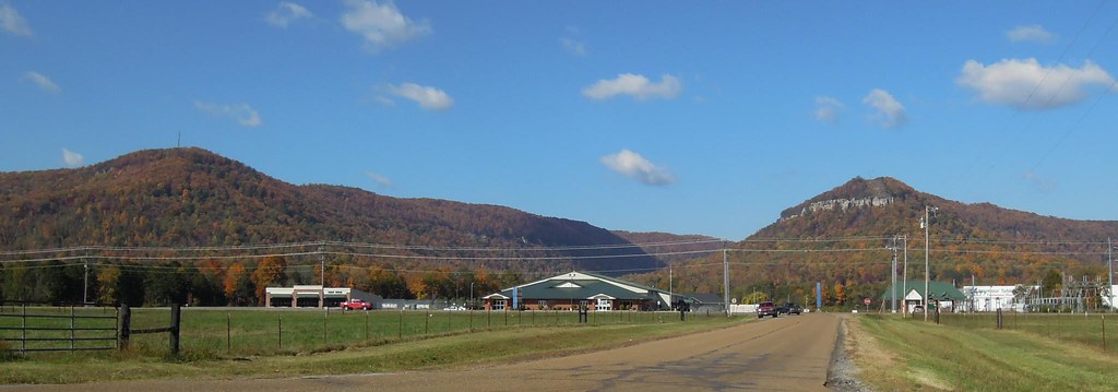
111024 Dunlap, TN
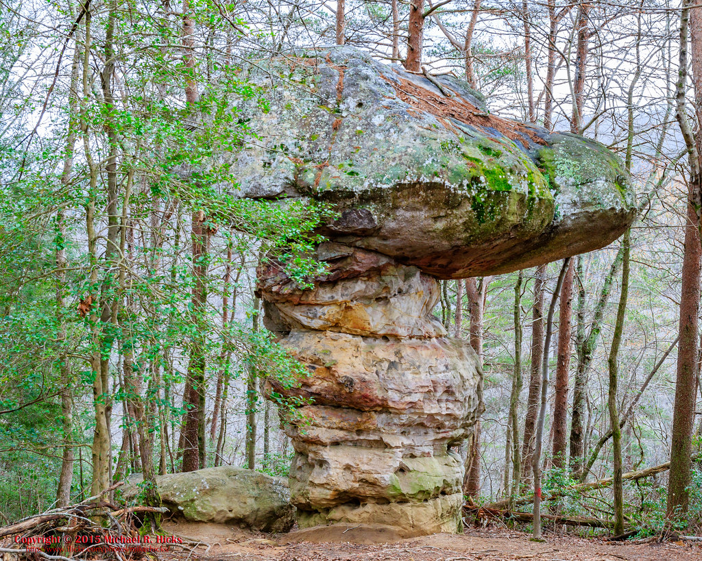
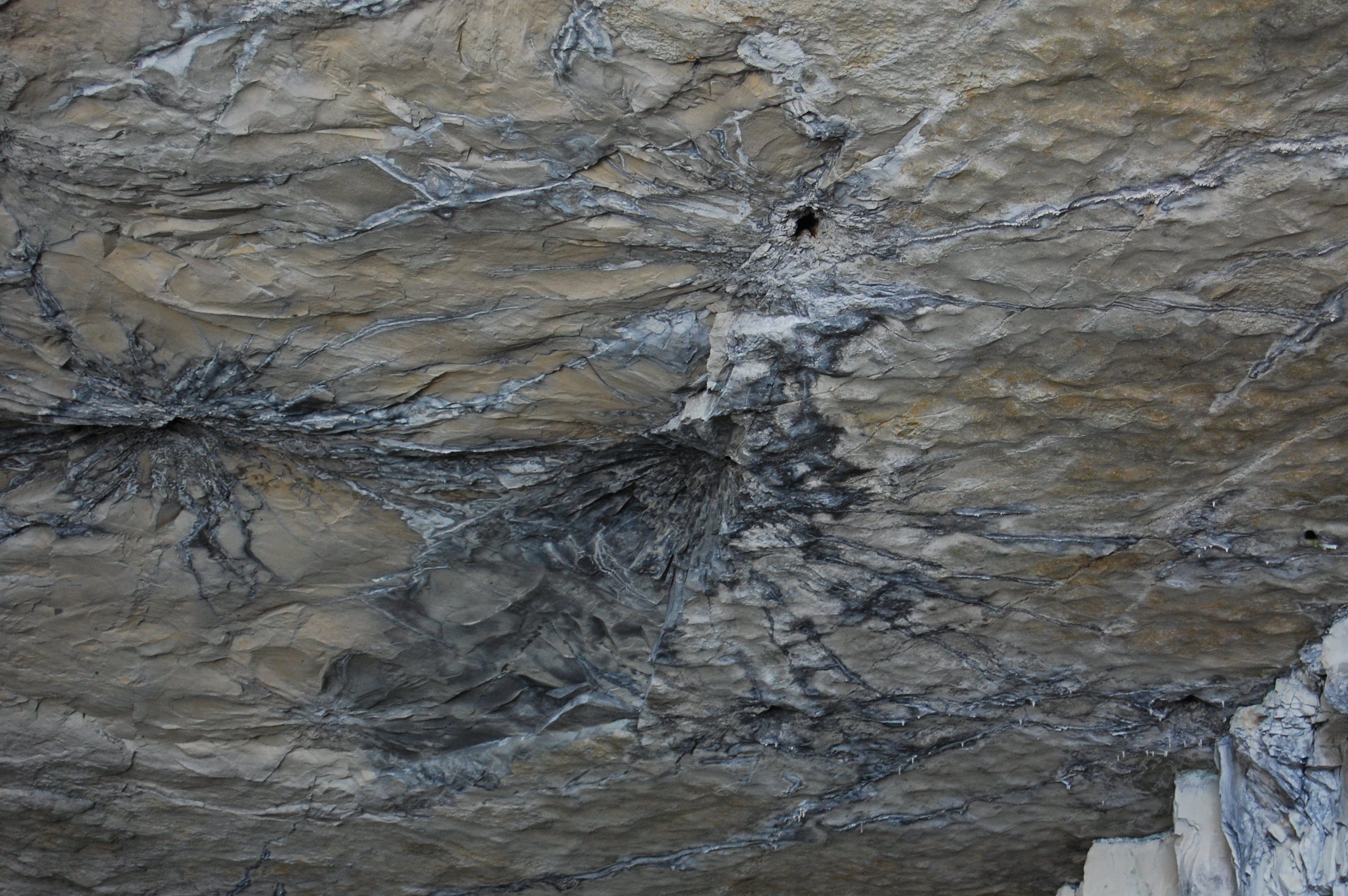
Mushroom Rock

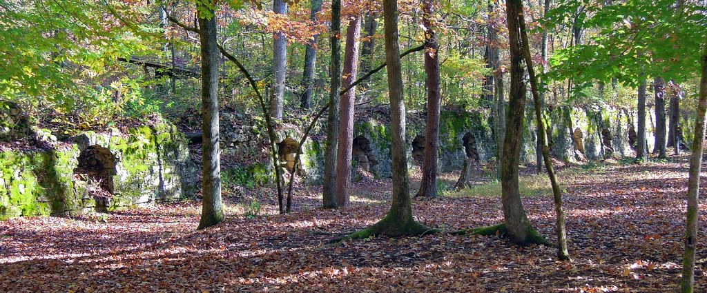
Dunlap Coke Ovens
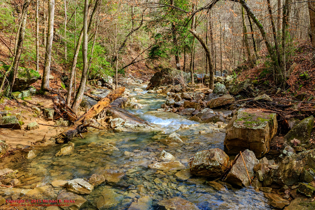
South Suck Creek
US 127 North (2)
111024 Dunlap, TN

p4240002.jpg
US 127 North (3)
Camera Roll-1

Park Closed

US 127 North (8)
Quarry on Hwy 127

North Suck Creek
p4240003.jpg
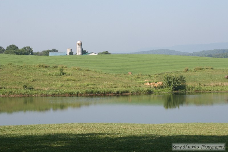
Dunlap Farm
Topographic Map of Whitwell, TN, USA
Find elevation by address:

Places near Whitwell, TN, USA:
W Valley Rd, Whitwell, TN, USA
1498 Teague Rd
TN-, Whitwell, TN, USA
Whitwell
Powells Crossroads
69 Tn-27 Scenic
755 Grays Creek Rd
754 Grays Creek Rd
English Cove Road
1455 Choctaw Trail
5049 Browns Hollow Rd
Mossy Oak Drive
Dykes Hollow Rd, Tracy City, TN, USA
32 Manley Rd, Tracy City, TN, USA
235 Flat Branch Rd
Fire Twr Rd, Tracy City, TN, USA
1644 Tipple Rd
Tracy City
James Turner Road
Altamont St & James Turner Rd
Recent Searches:
- Elevation of Crocker Dr, Vacaville, CA, USA
- Elevation of Pu Ngaol Community Meeting Hall, HWHM+3X7, Krong Saen Monourom, Cambodia
- Elevation of Royal Ontario Museum, Queens Park, Toronto, ON M5S 2C6, Canada
- Elevation of Groblershoop, South Africa
- Elevation of Power Generation Enterprises | Industrial Diesel Generators, Oak Ave, Canyon Country, CA, USA
- Elevation of Chesaw Rd, Oroville, WA, USA
- Elevation of N, Mt Pleasant, UT, USA
- Elevation of 6 Rue Jules Ferry, Beausoleil, France
- Elevation of Sattva Horizon, 4JC6+G9P, Vinayak Nagar, Kattigenahalli, Bengaluru, Karnataka, India
- Elevation of Great Brook Sports, Gold Star Hwy, Groton, CT, USA