Elevation of Teague Rd, Whitwell, TN, USA
Location: United States > Tennessee > Marion County > Whitwell >
Longitude: -85.500325
Latitude: 35.2088861
Elevation: 236m / 774feet
Barometric Pressure: 99KPa
Elevation Map:
Satellite Map:
Related Photos:
Middle Creek Bridge, Rainbow Lake Trail - Signal Mountain, Tennessee
Mullen's Cove

Full Moon Puddle

Unnamed waterfall two seen along the old Dixie Highway
Unnamed waterfall one seen along the old Dixie Highway

Wake, river, and Sky

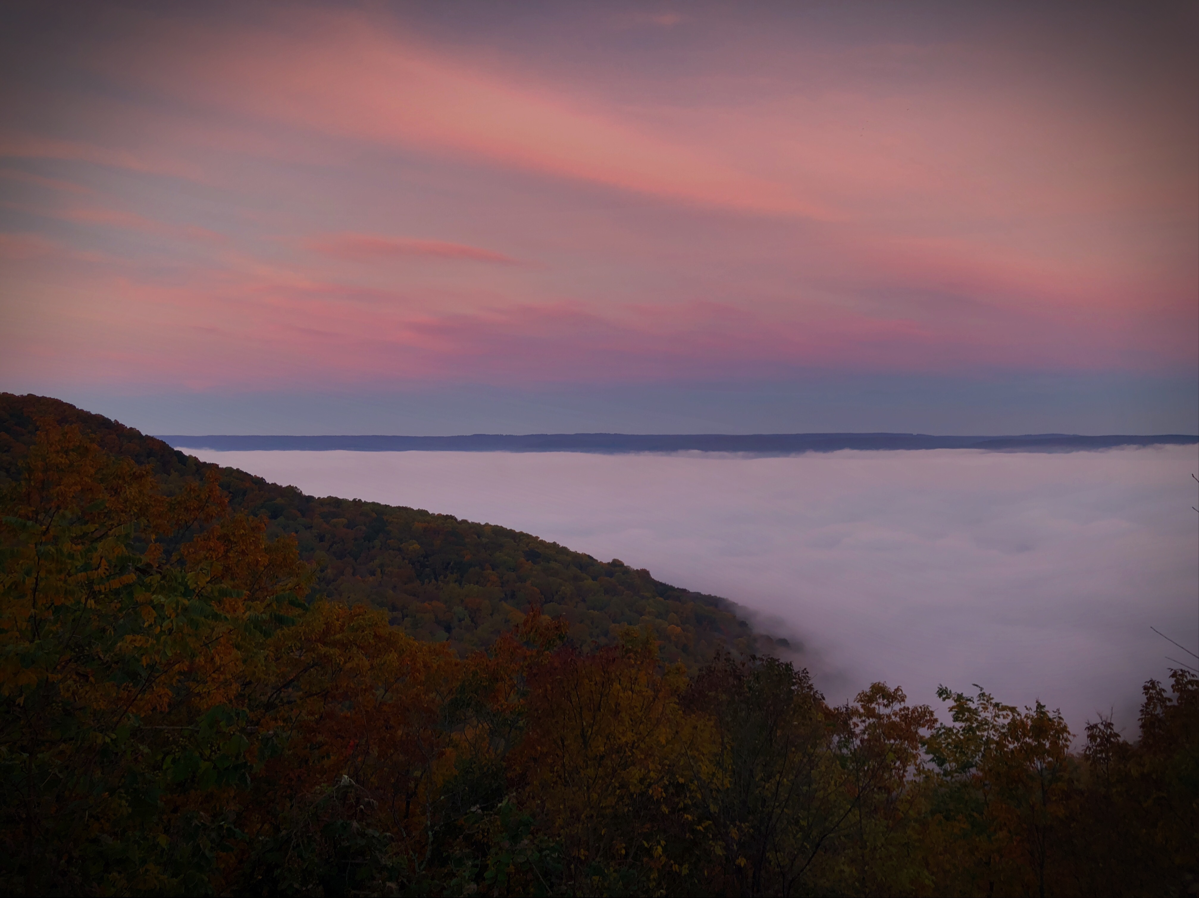
View from Signal Mtn Point Park
Signal Mountain, Tennessee

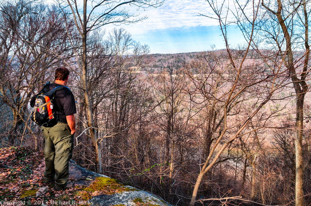
Enjoying the View
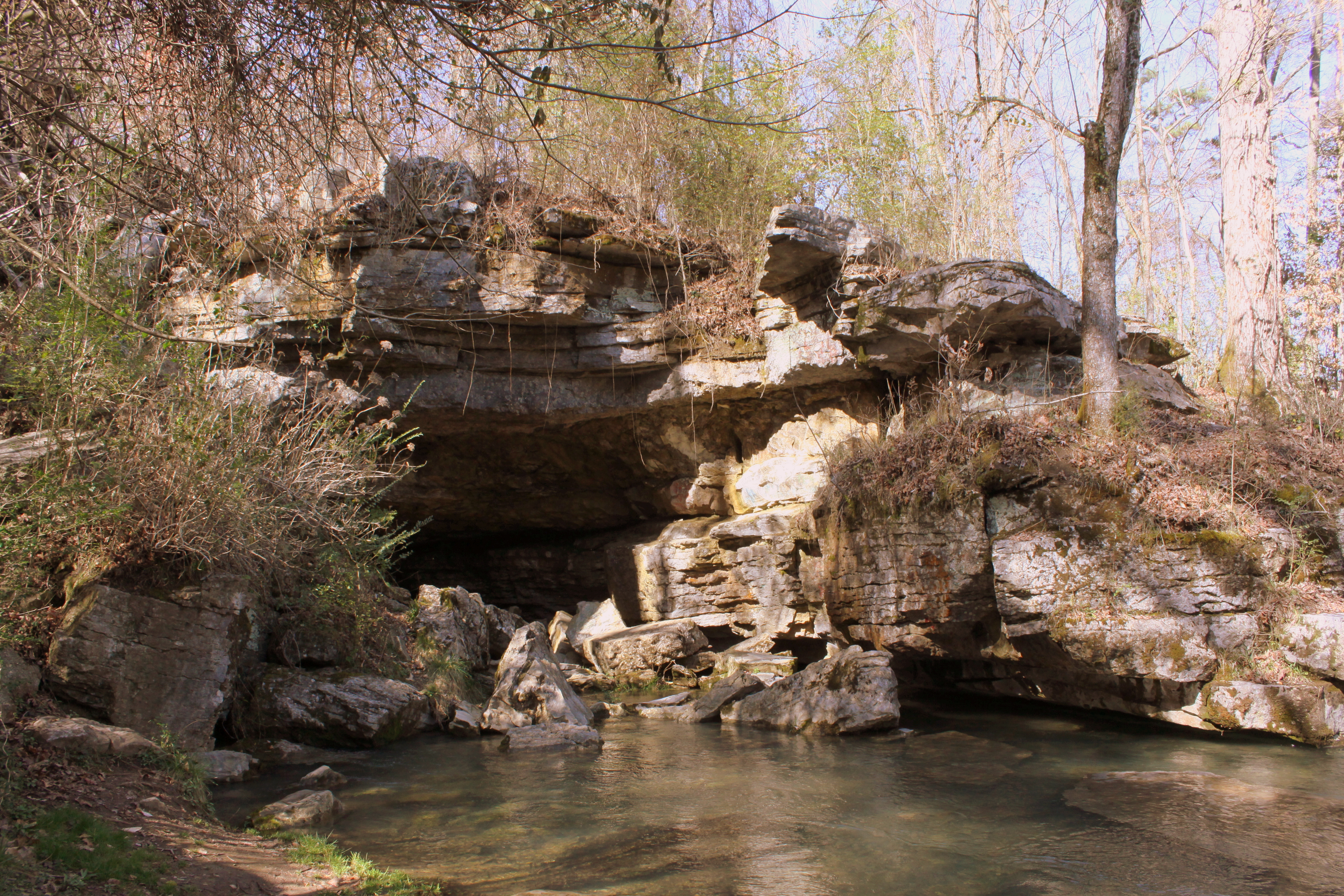
Sequatchie Cave
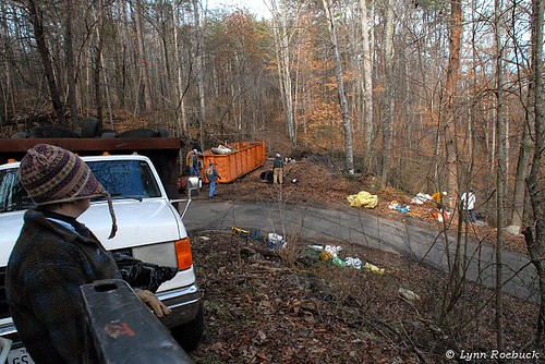
Karst Clean Up Whitwell TN
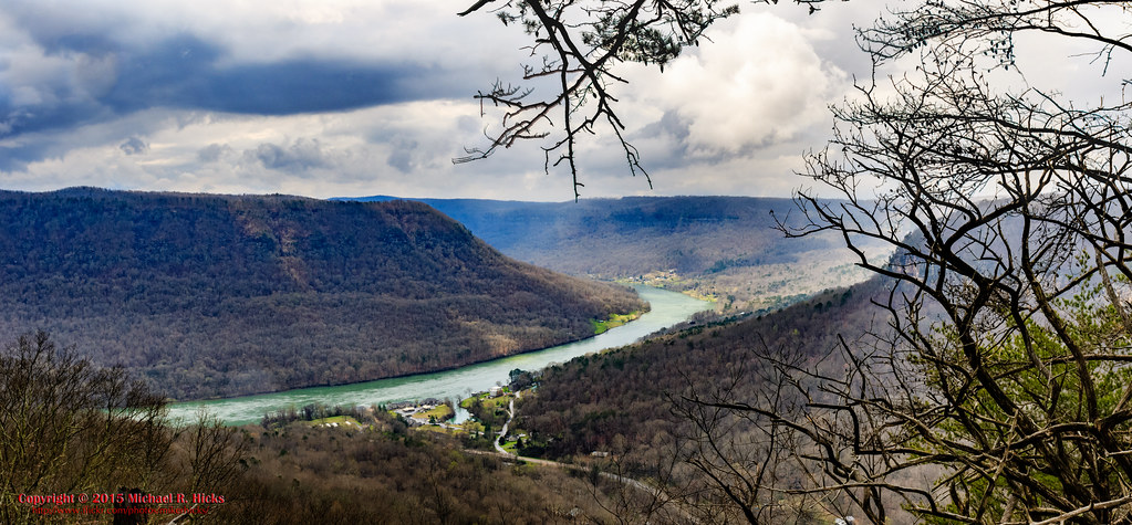
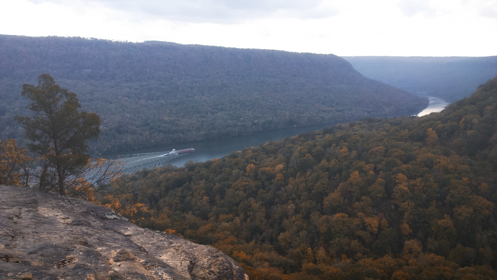
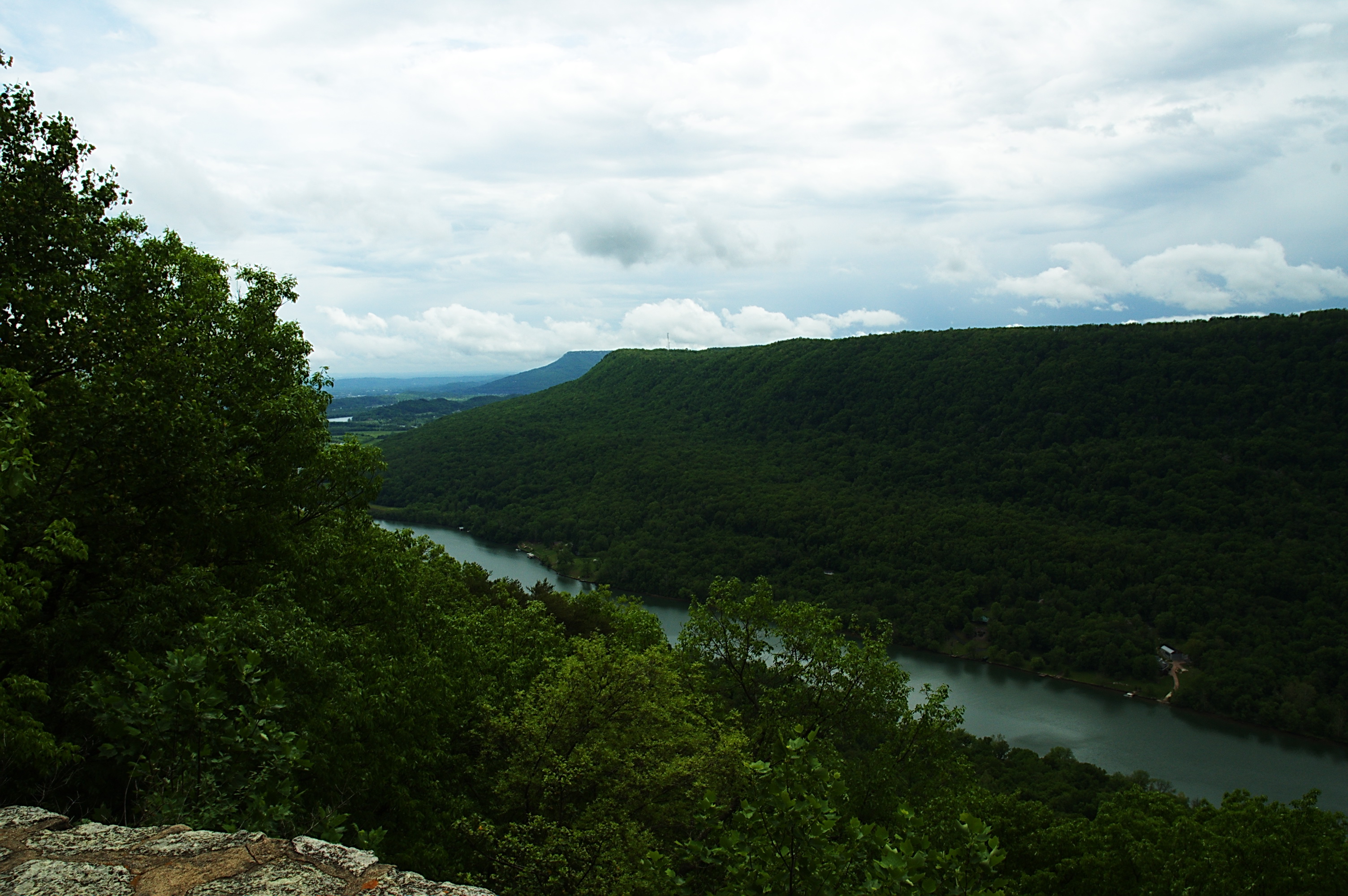
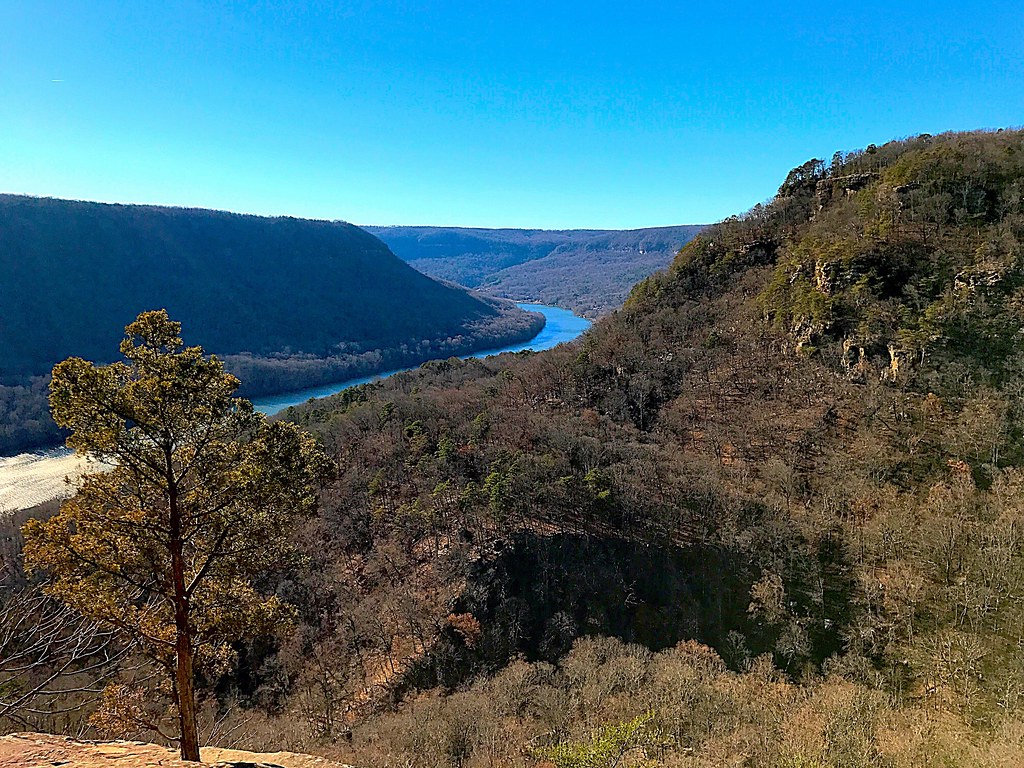
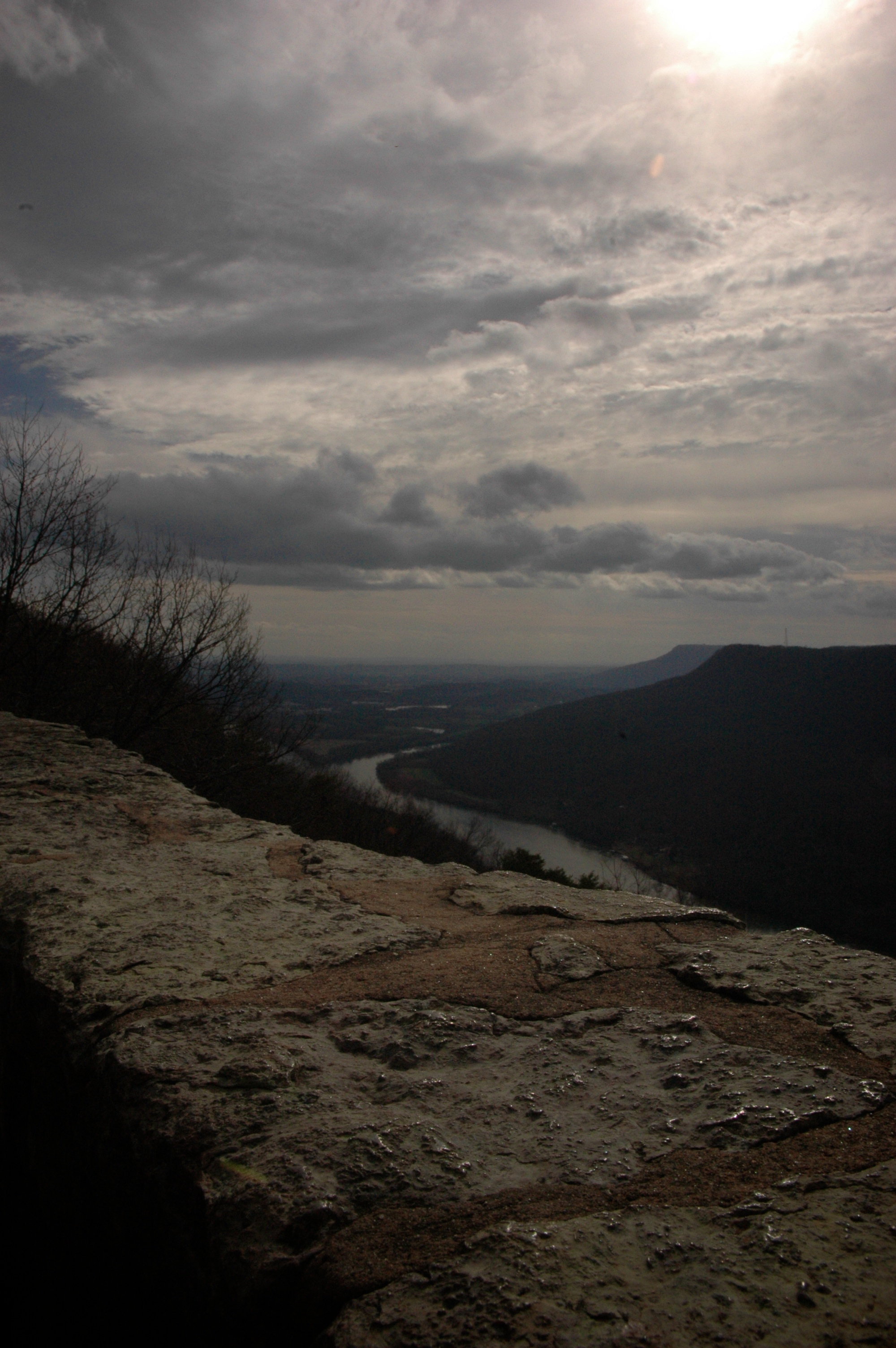
Last view of the Tennessee River
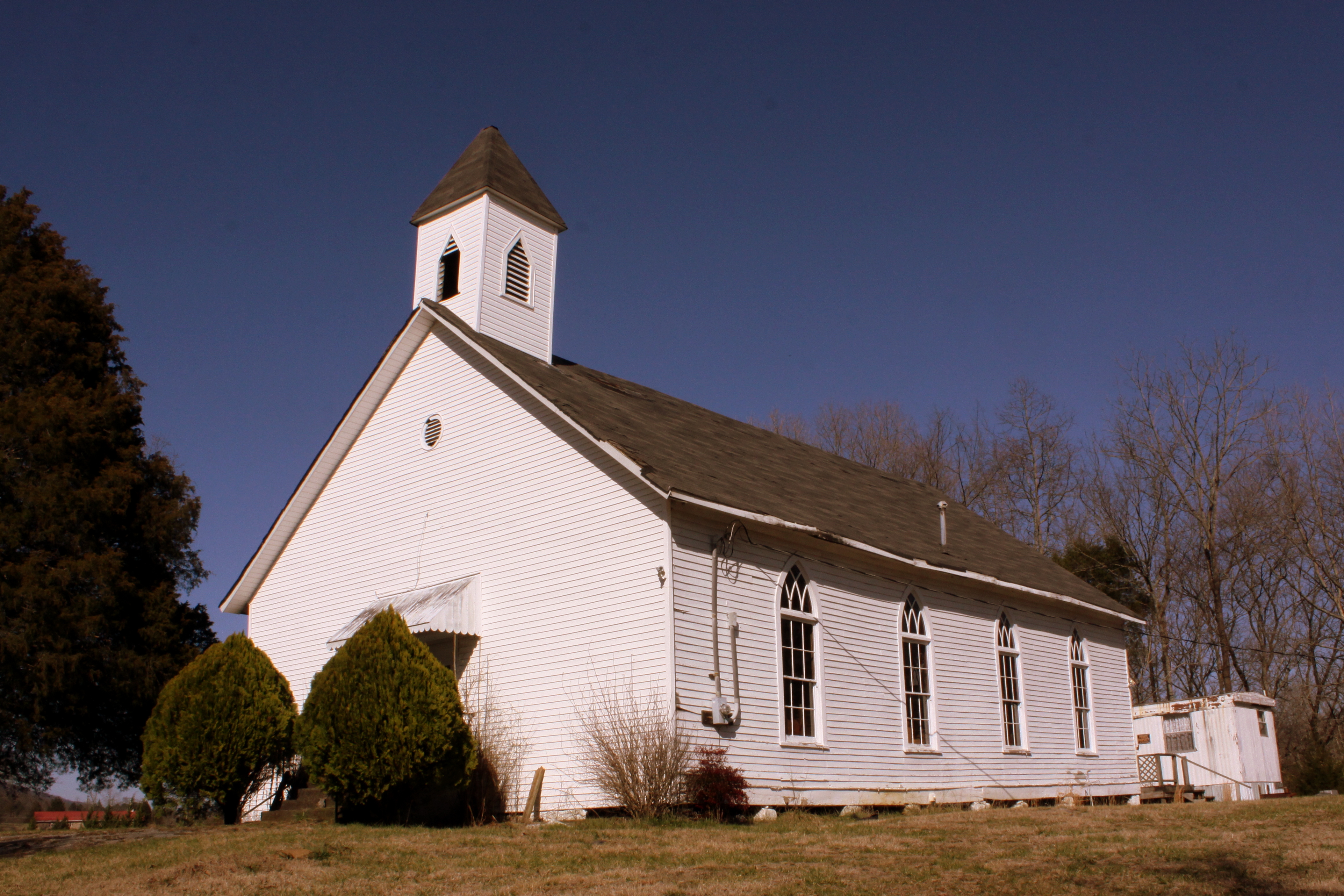
Bethel Church - Victoria, TN
Bill enjoys the view from the Natural Bridge - Pot Point Loop - February 9, 2013
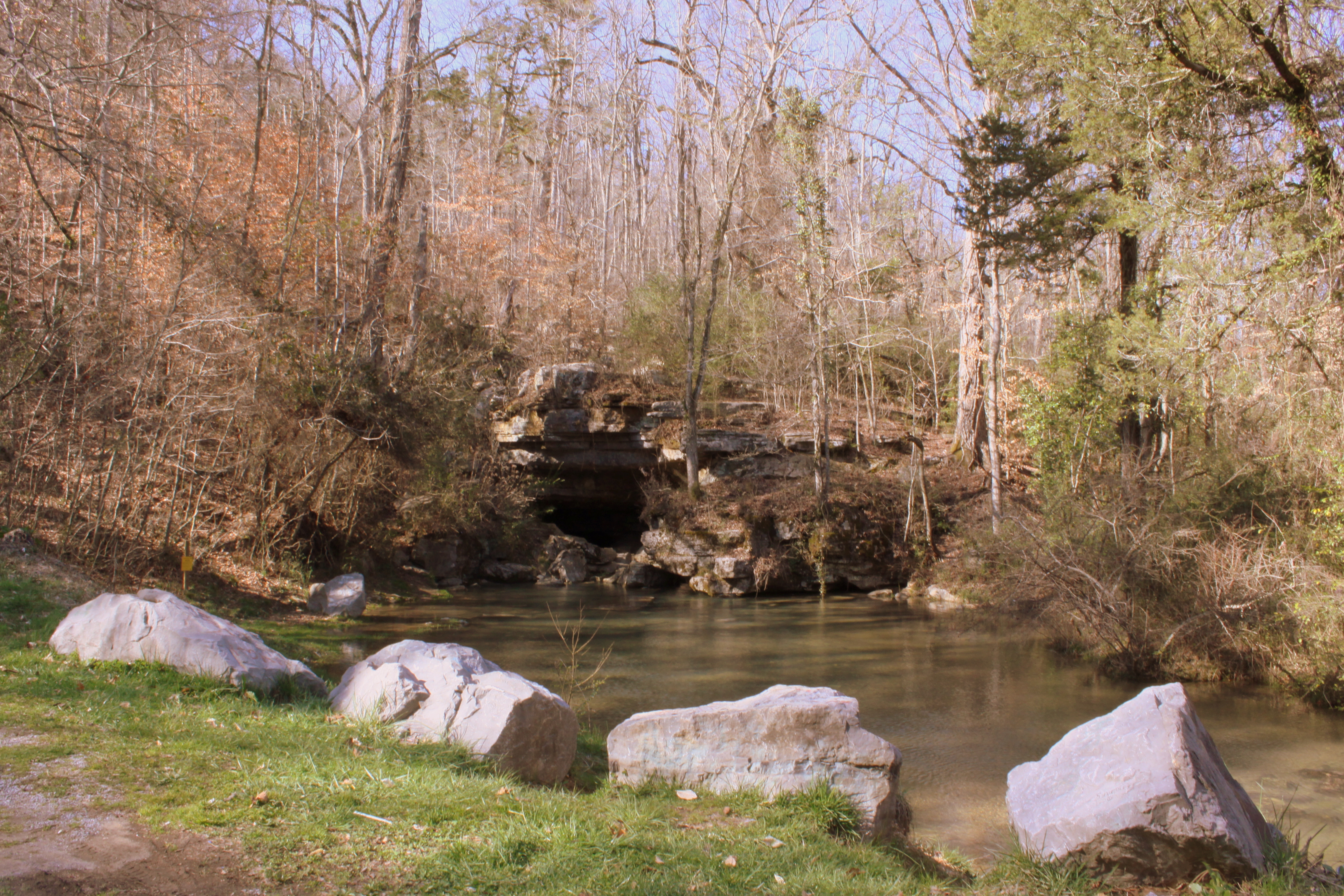
Sequatchie Cave
What a view!
The Woods of Chattanooga
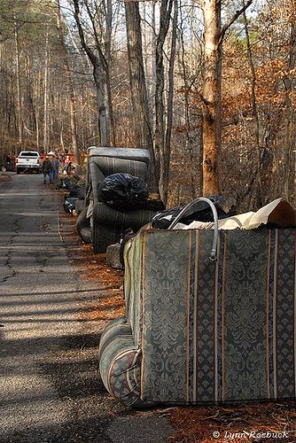
Whitwell TN Garbage

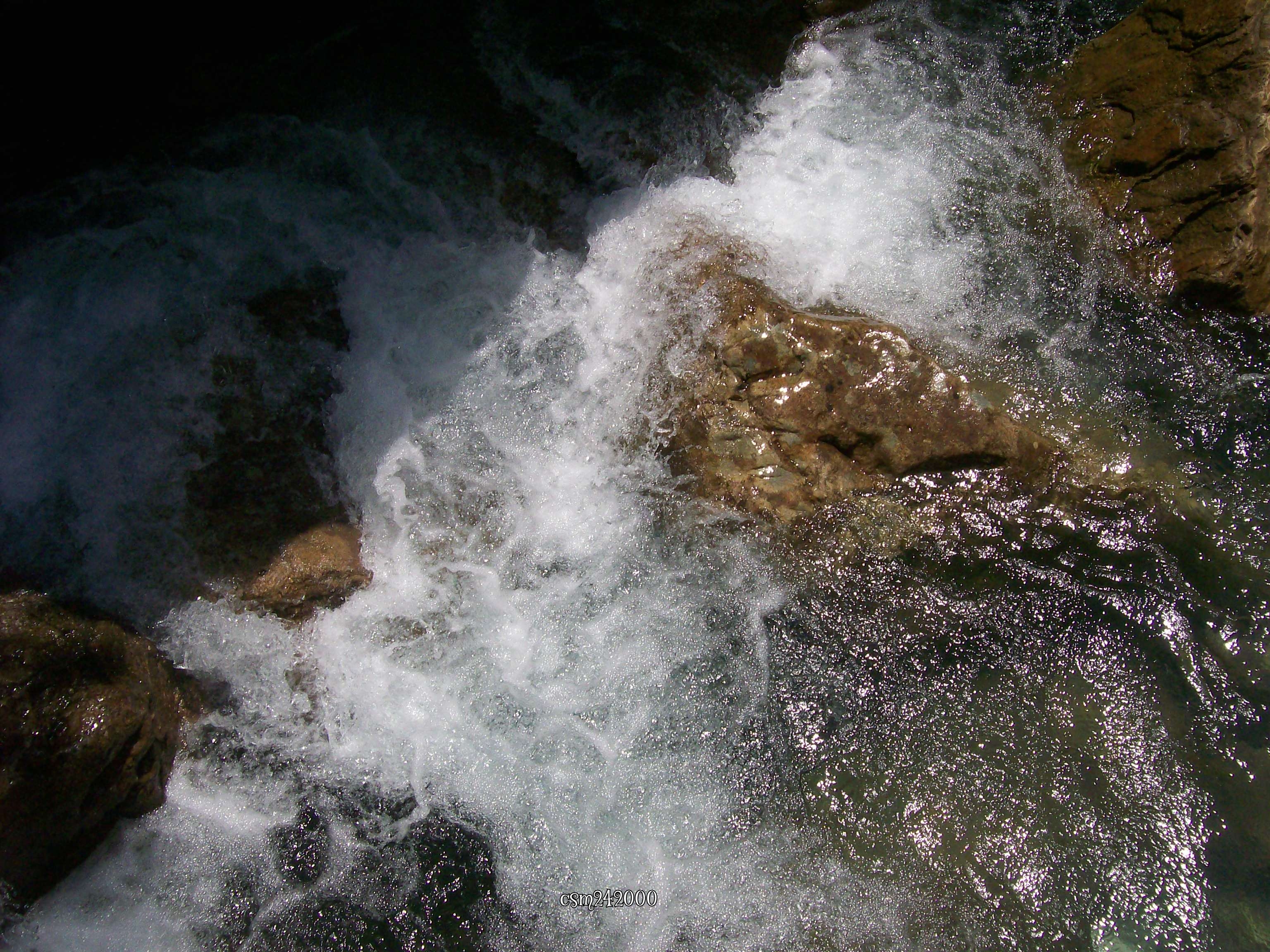
The Cold Plunge
Signal Point
Lunch with a view

Pot Point Loop - Snooper's Rock Overlook
Signal Mountain
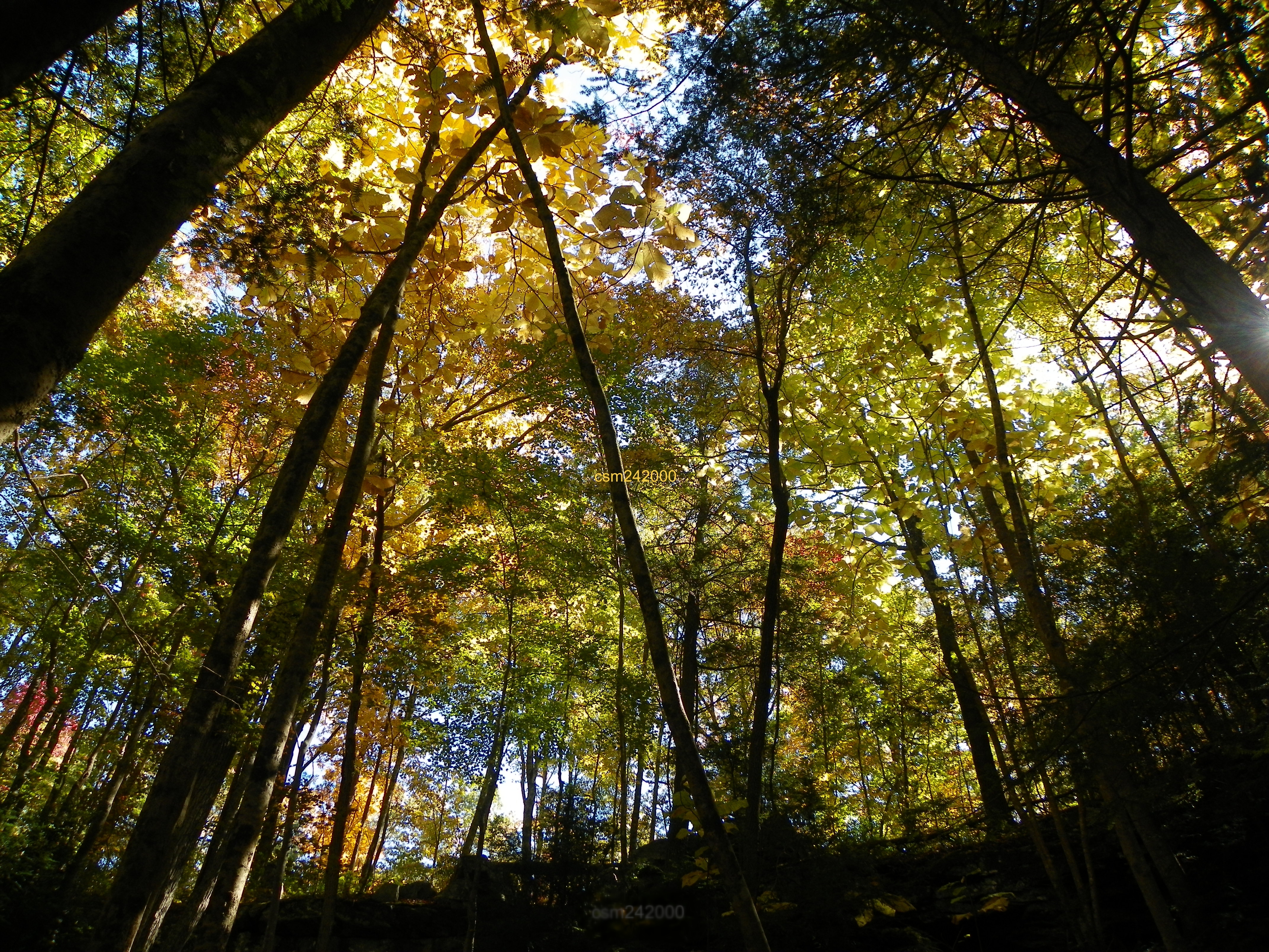
Canopy light

Middle Creek Bridge
Signal Mountain
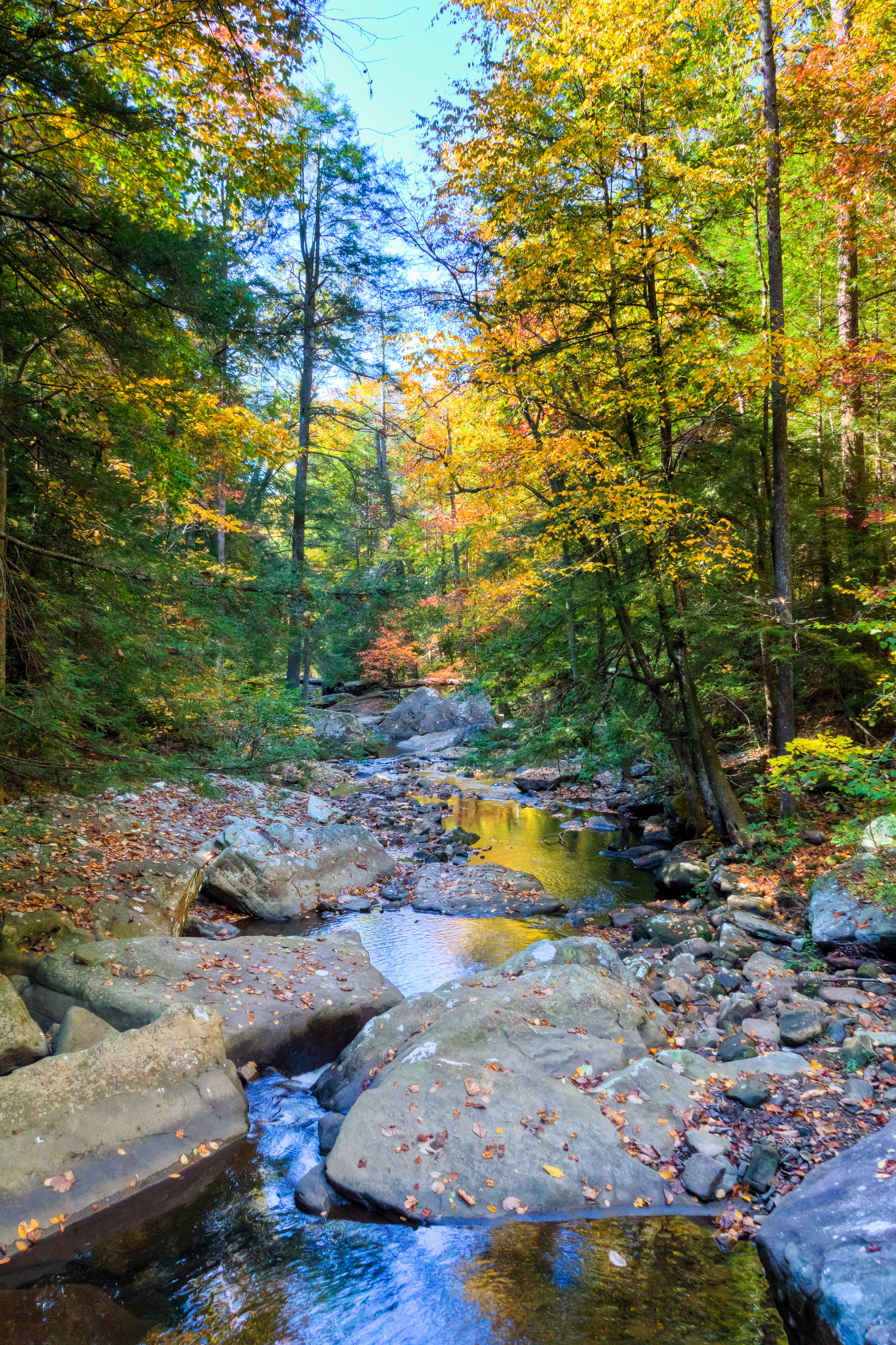
Shaded Streams
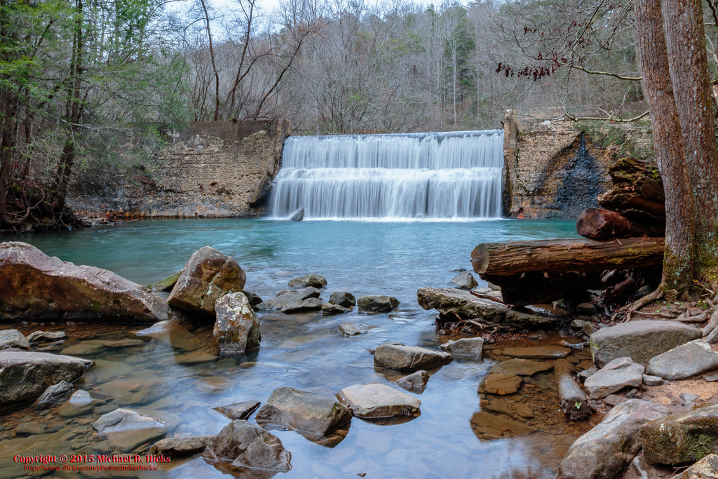
Rainbow Lake Dam
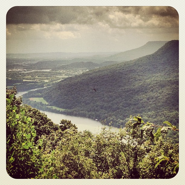
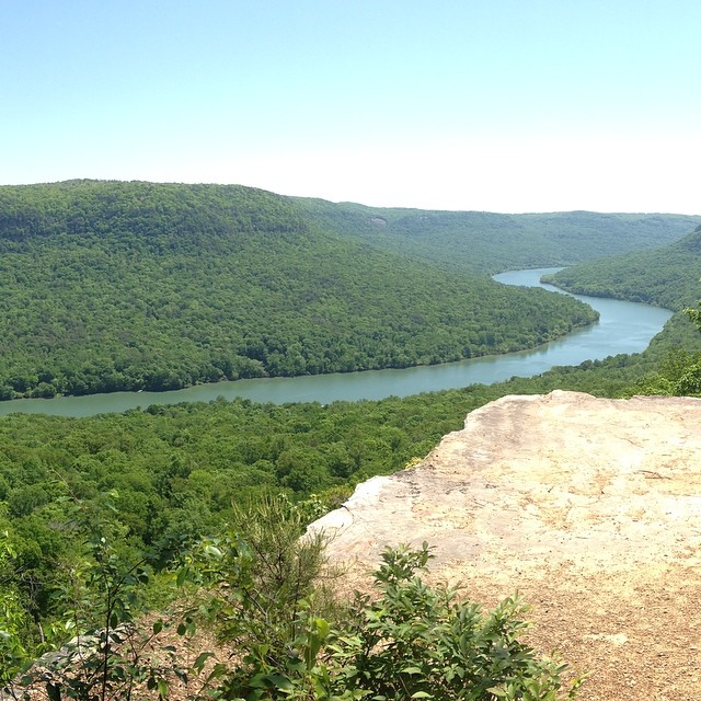
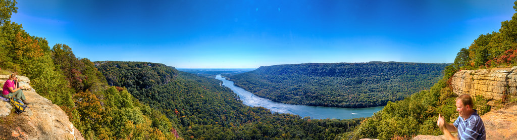
Tennessee Valley from Signal Point

~`A Twist`~

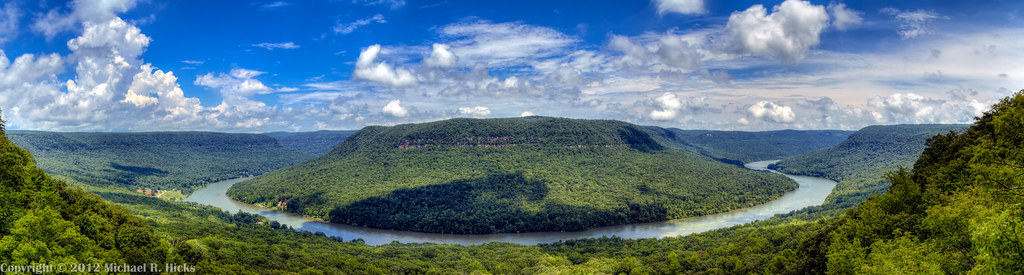
Mullens Cove Loop
Tennessee River Segment Cumberalnd Trail State Park - Edward's Point
Mullens Cove Loop
~Rush~~
Foster Falls

The Woods of Chattanooga

The Woods of Chattanooga
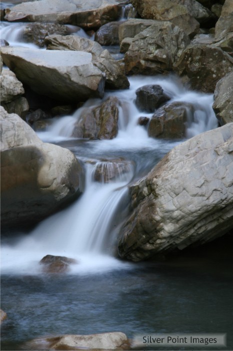
Suck Creek Blur - Chattanooga Nature Photography - Silver Point Images - 8361

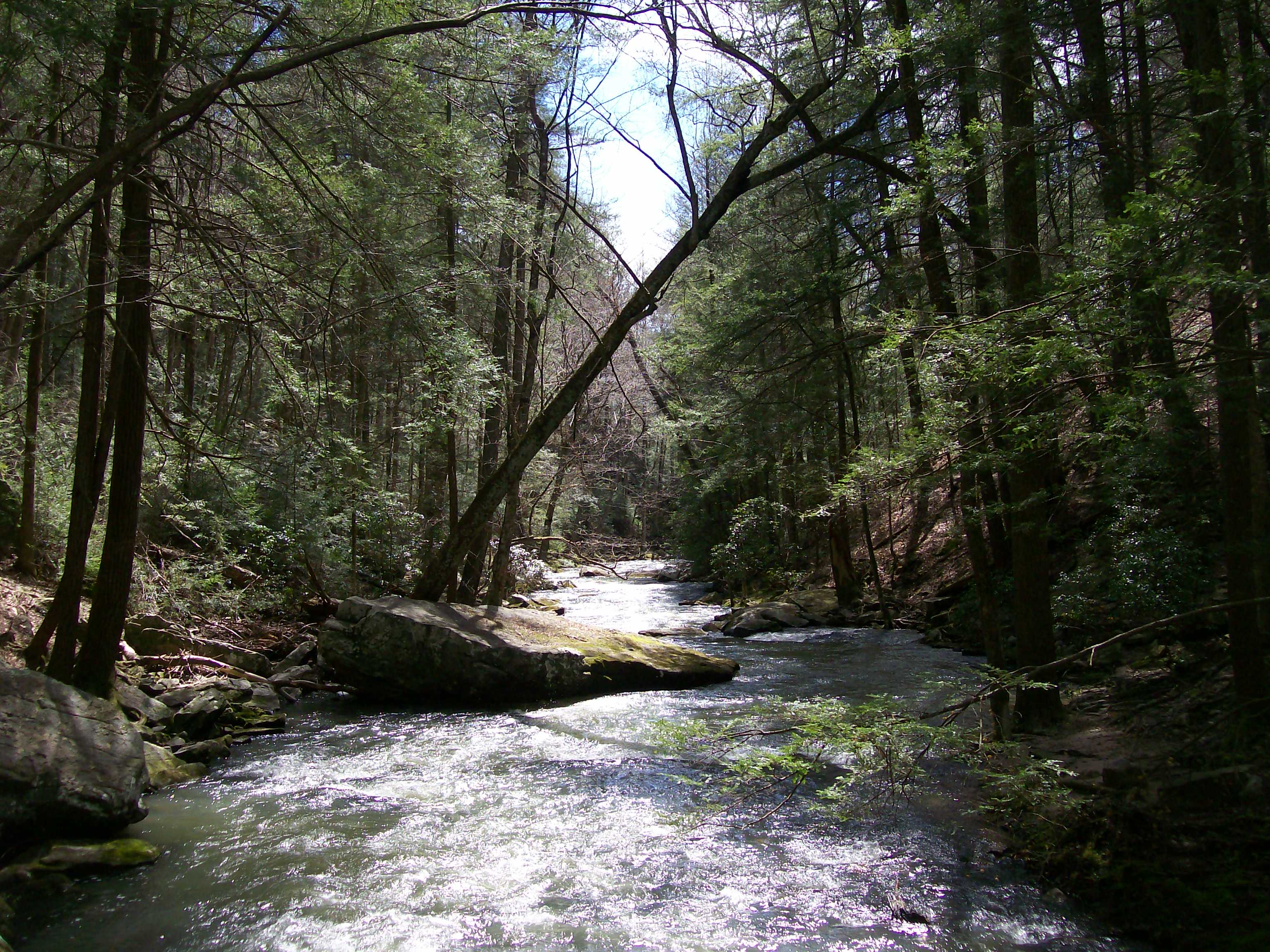
Creek Near Signal Mountain, Tennessee
Topographic Map of Teague Rd, Whitwell, TN, USA
Find elevation by address:

Places near Teague Rd, Whitwell, TN, USA:
Whitwell
TN-, Whitwell, TN, USA
Powells Crossroads
69 Tn-27 Scenic
English Cove Road
Whitwell, TN, USA
1455 Choctaw Trail
755 Grays Creek Rd
754 Grays Creek Rd
W Valley Rd, Whitwell, TN, USA
Mossy Oak Drive
5049 Browns Hollow Rd
32 Manley Rd, Tracy City, TN, USA
Dykes Hollow Rd, Tracy City, TN, USA
235 Flat Branch Rd
Fire Twr Rd, Tracy City, TN, USA
Tracy City
1644 Tipple Rd
James Turner Road
Altamont St & James Turner Rd
Recent Searches:
- Elevation of Crocker Dr, Vacaville, CA, USA
- Elevation of Pu Ngaol Community Meeting Hall, HWHM+3X7, Krong Saen Monourom, Cambodia
- Elevation of Royal Ontario Museum, Queens Park, Toronto, ON M5S 2C6, Canada
- Elevation of Groblershoop, South Africa
- Elevation of Power Generation Enterprises | Industrial Diesel Generators, Oak Ave, Canyon Country, CA, USA
- Elevation of Chesaw Rd, Oroville, WA, USA
- Elevation of N, Mt Pleasant, UT, USA
- Elevation of 6 Rue Jules Ferry, Beausoleil, France
- Elevation of Sattva Horizon, 4JC6+G9P, Vinayak Nagar, Kattigenahalli, Bengaluru, Karnataka, India
- Elevation of Great Brook Sports, Gold Star Hwy, Groton, CT, USA