Elevation of Whitson Road, Whitson Rd, Kentucky, USA
Location: United States > Kentucky > Harrison County > Sadieville >
Longitude: -84.463988
Latitude: 38.414487
Elevation: 255m / 837feet
Barometric Pressure: 98KPa
Elevation Map:
Satellite Map:
Related Photos:
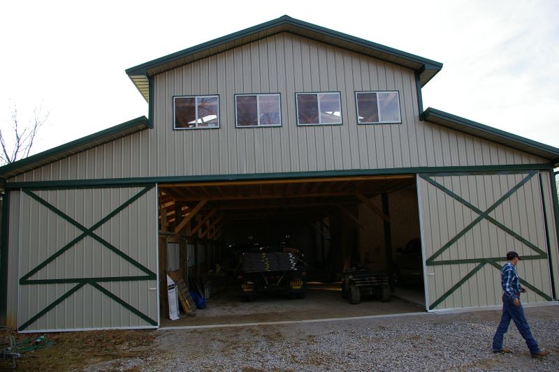
Eagle Creek Horse Motel Barn Side View

Robinson Dam

Morning Glory

Self Portrait

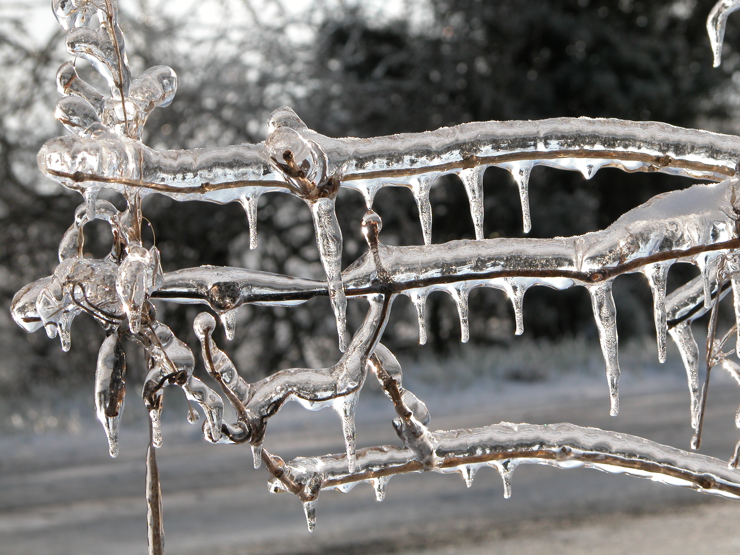
Kentucky Winter Ice 003

Kentucky Winter Ice 004
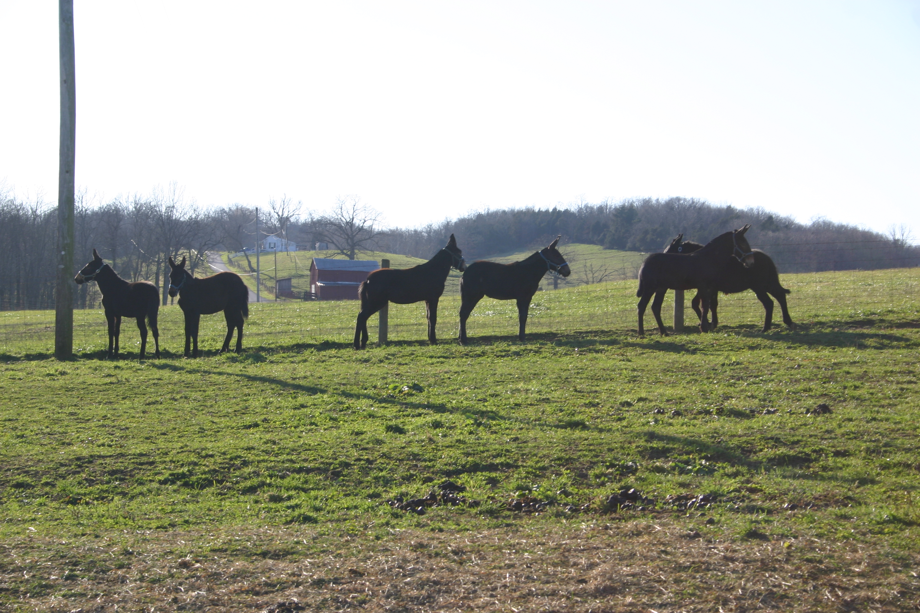
Baby Gray Mules Playing

Country Road during Fall

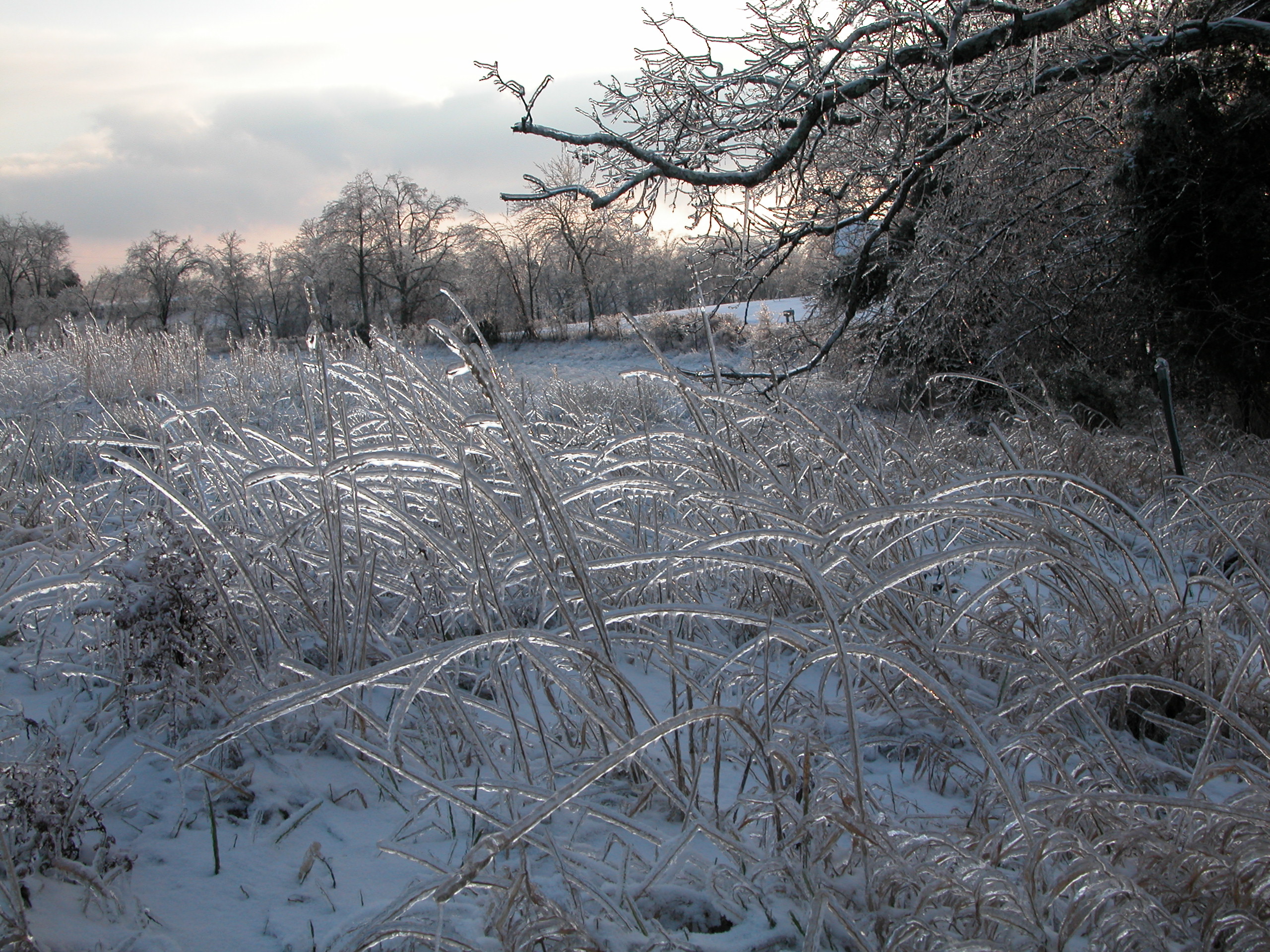
Kentucky Winter Ice 071

Robinson Dam

Miami to Seattle_Photo 072_175

Kentucky Winter Ice 016

Robinson Dam

Kentucky Winter Ice 023
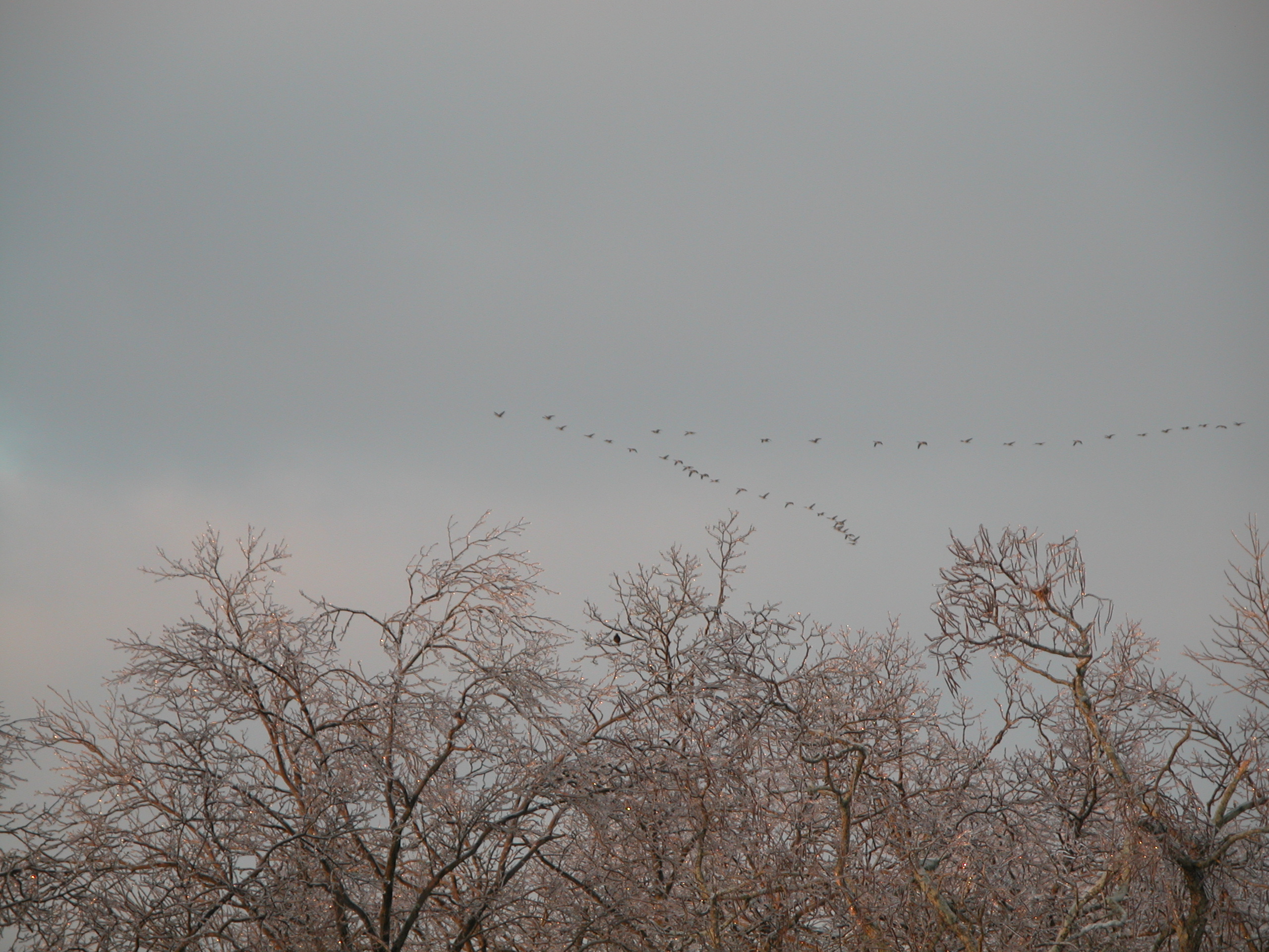
Kentucky Winter Ice 085

Kentucky Winter Ice 007

Kentucky Winter Ice 046

Kentucky Winter Ice 027

Kentucky Winter Ice 011
Kentucky Winter Ice 012

2012-07-30_19-50-38_258
Kentucky Winter Ice 039
Topographic Map of Whitson Road, Whitson Rd, Kentucky, USA
Find elevation by address:

Places near Whitson Road, Whitson Rd, Kentucky, USA:
2270 Whitson Rd
Connersville Pike, Sadieville, KY, USA
Williamstown Rd, Berry, KY, USA
Sadieville
22 Burgess Smith Rd, Sadieville, KY, USA
2405 Hicks Pike
KY-, Cynthiana, KY, USA
Dixie Hwy, Corinth, KY, USA
Corinth
Berry
Berry, KY, USA
Cordova Rd, Berry, KY, USA
Scott County
142 Westwoods Dr
5815 Cordova Rd
Muddy Ford Rd, Georgetown, KY, USA
200 Technology Ct
Burton Pike, Georgetown, KY, USA
Industry Rd, Georgetown, KY, USA
Agena Rd, Georgetown, KY, USA
Recent Searches:
- Elevation of 7 Waterfall Way, Tomball, TX, USA
- Elevation of SW 57th Ave, Portland, OR, USA
- Elevation of Crocker Dr, Vacaville, CA, USA
- Elevation of Pu Ngaol Community Meeting Hall, HWHM+3X7, Krong Saen Monourom, Cambodia
- Elevation of Royal Ontario Museum, Queens Park, Toronto, ON M5S 2C6, Canada
- Elevation of Groblershoop, South Africa
- Elevation of Power Generation Enterprises | Industrial Diesel Generators, Oak Ave, Canyon Country, CA, USA
- Elevation of Chesaw Rd, Oroville, WA, USA
- Elevation of N, Mt Pleasant, UT, USA
- Elevation of 6 Rue Jules Ferry, Beausoleil, France