Elevation of Berry, KY, USA
Location: United States > Kentucky > Harrison County >
Longitude: -84.384382
Latitude: 38.5206283
Elevation: 206m / 676feet
Barometric Pressure: 99KPa
Elevation Map:
Satellite Map:
Related Photos:
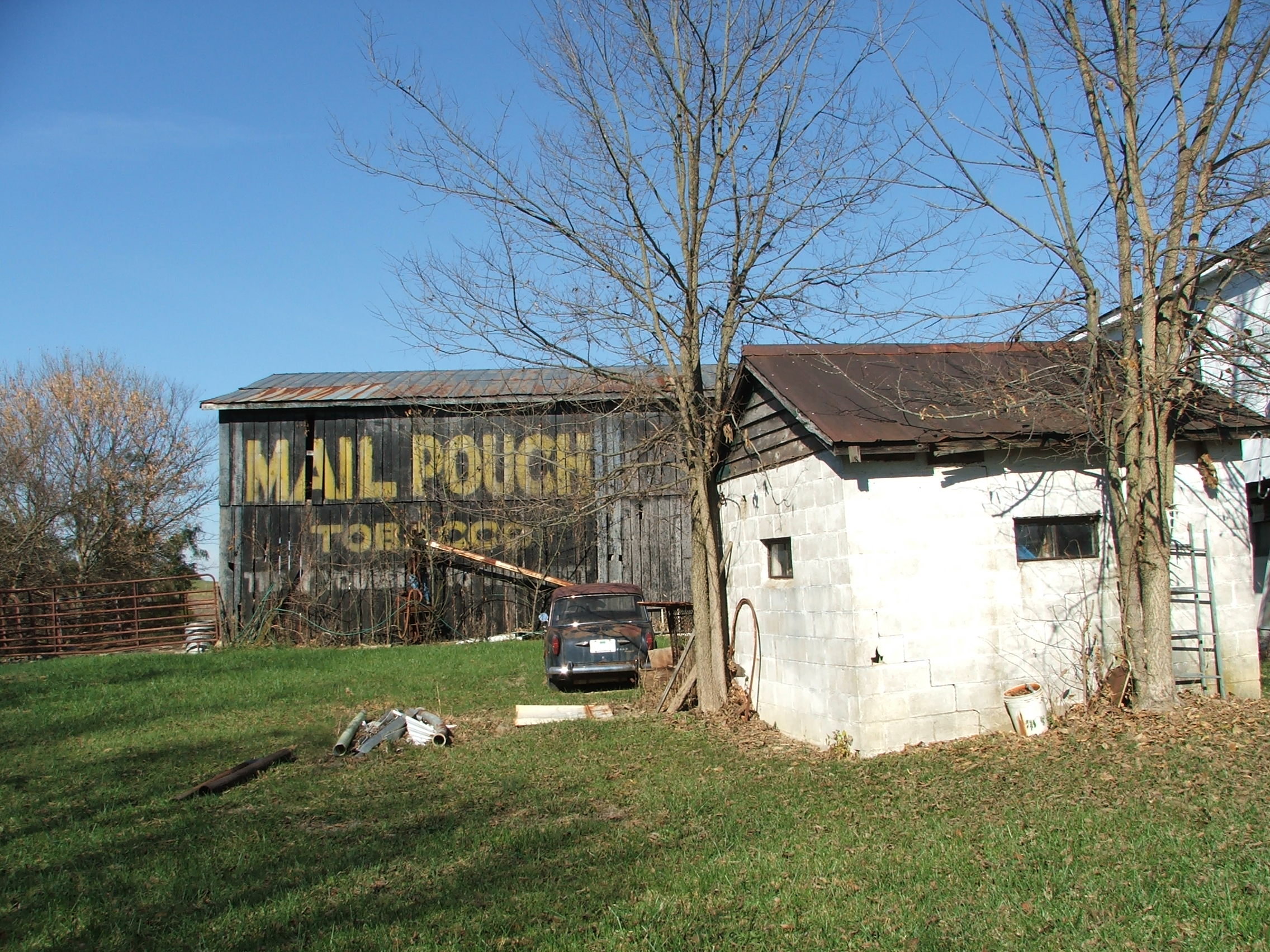
17-49-02, Harrison County, Kentucky

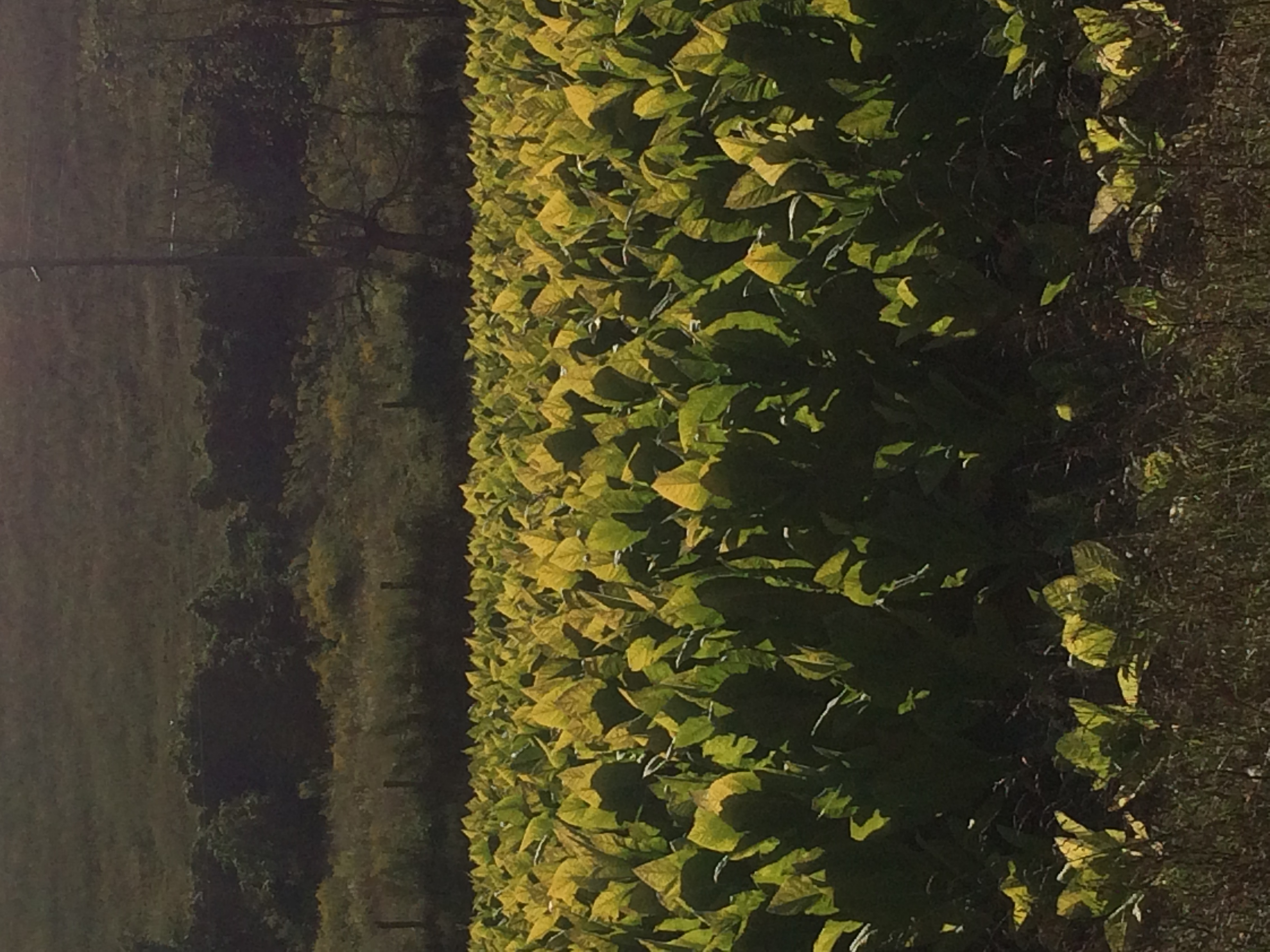
Tobacco on the stake
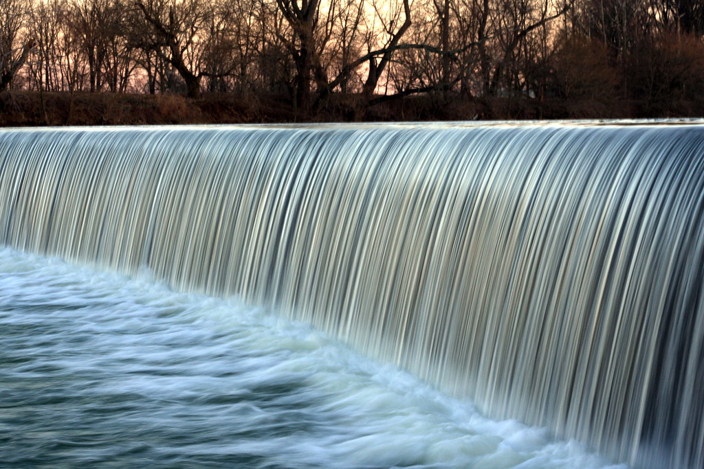
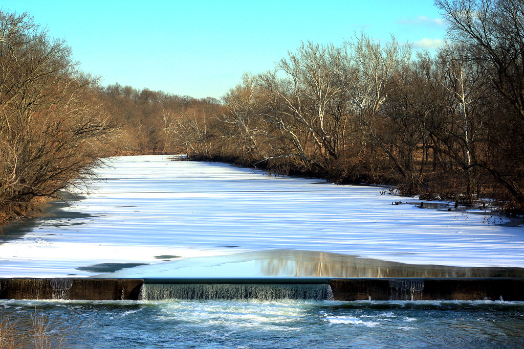
Robinson Dam
Robinson Dam
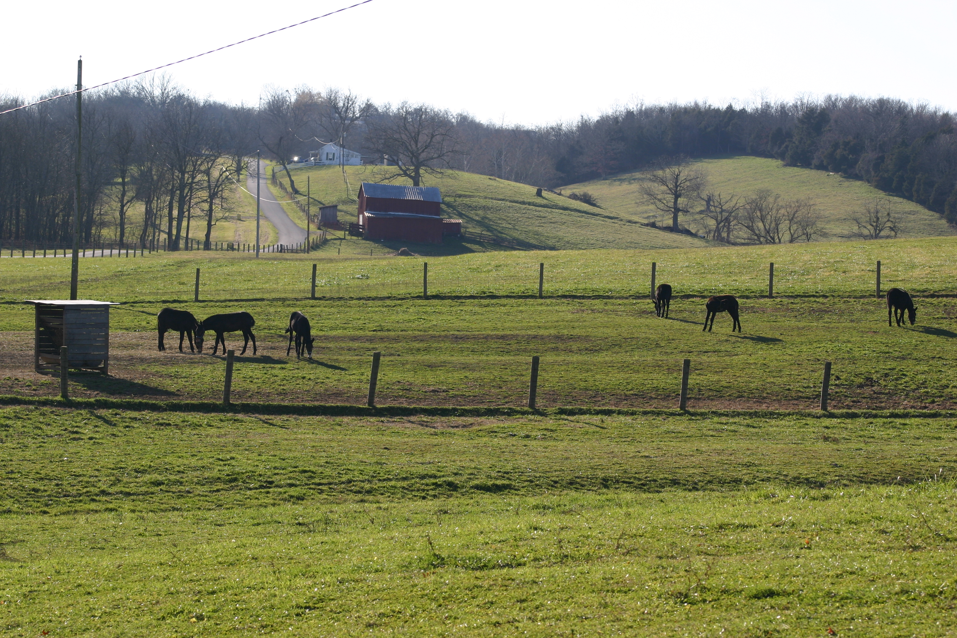
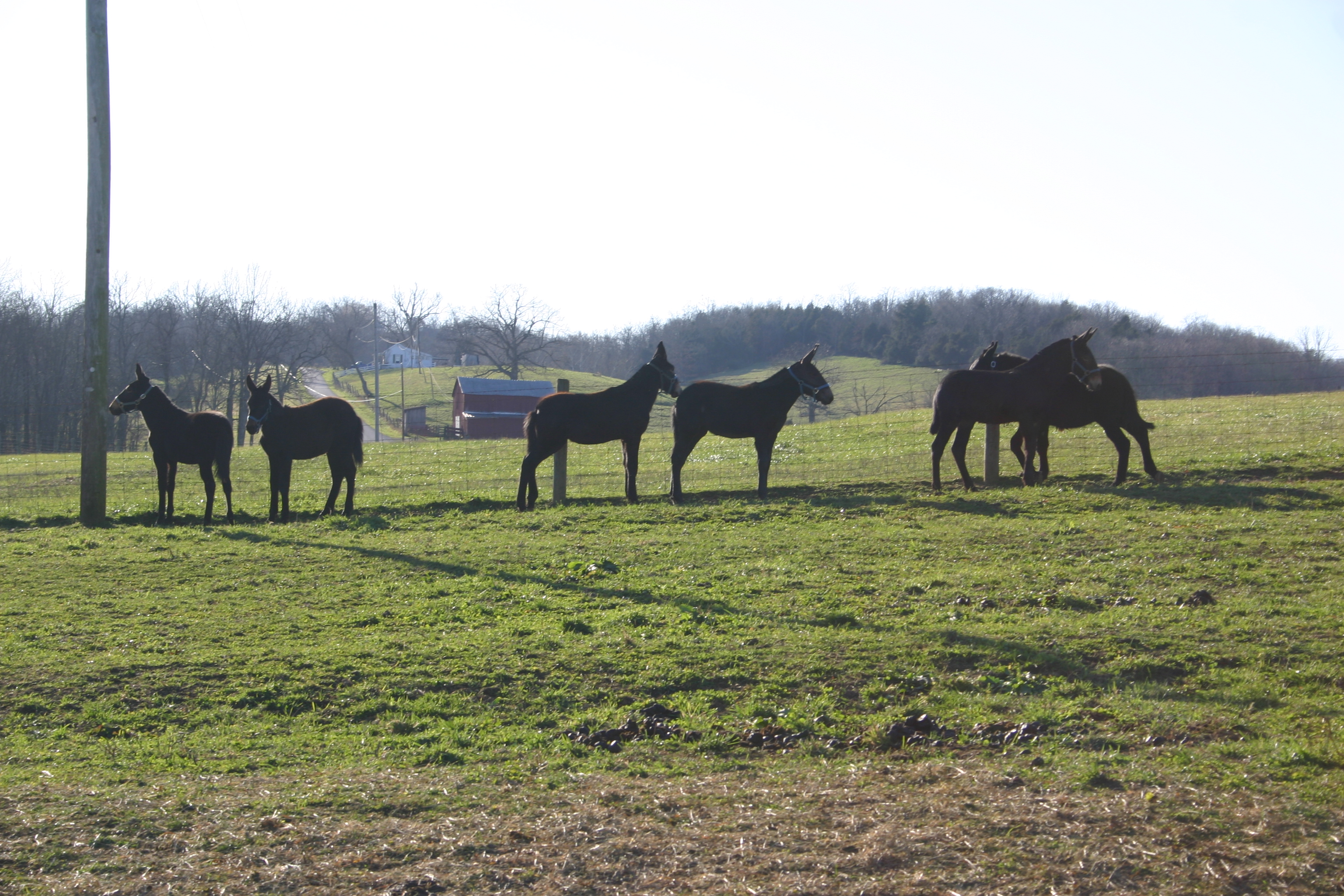
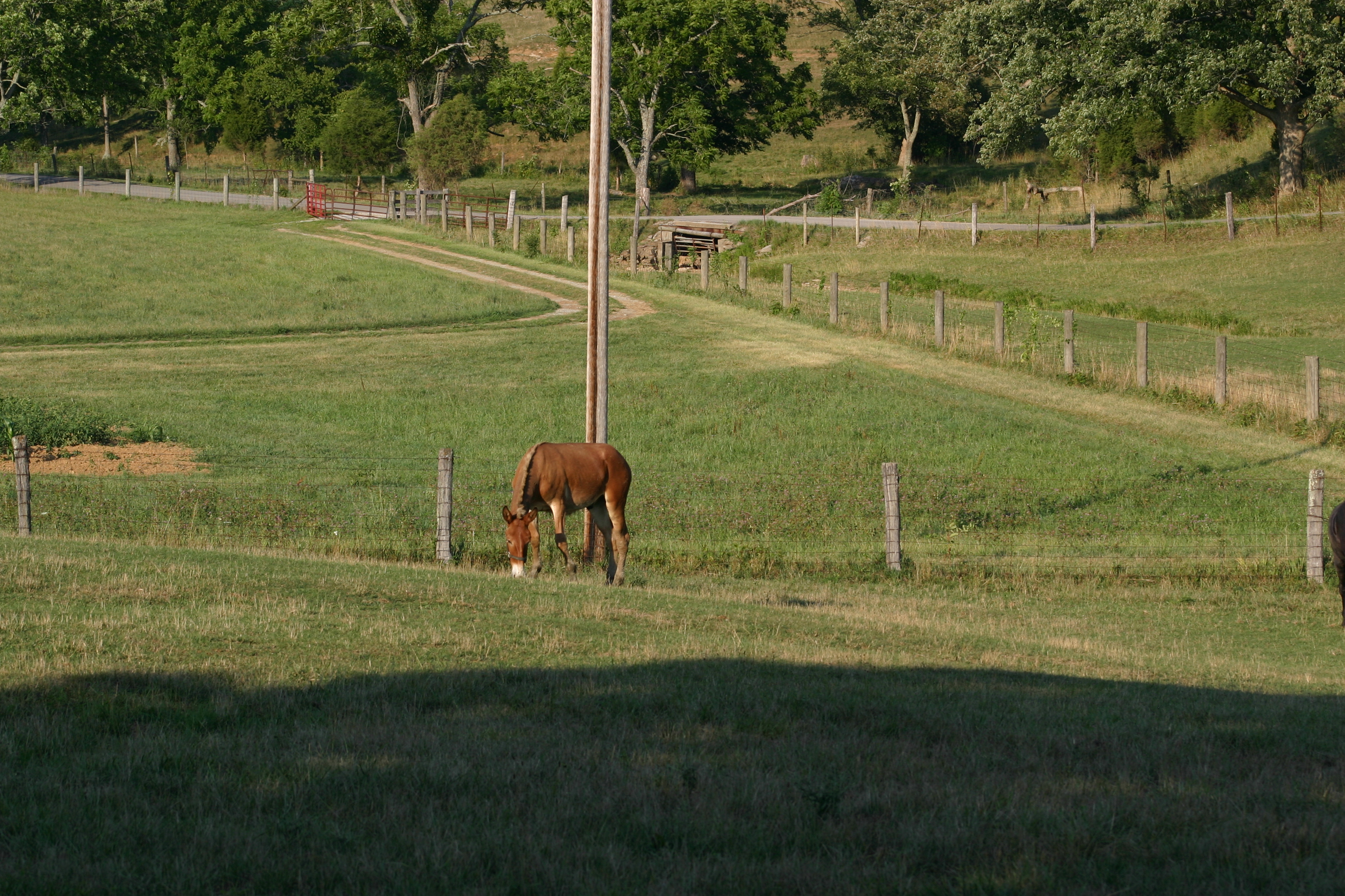
Gray Mules in the field

Robinson Dam
Baby Gray Mules Playing
Kentucky Tobacco Field
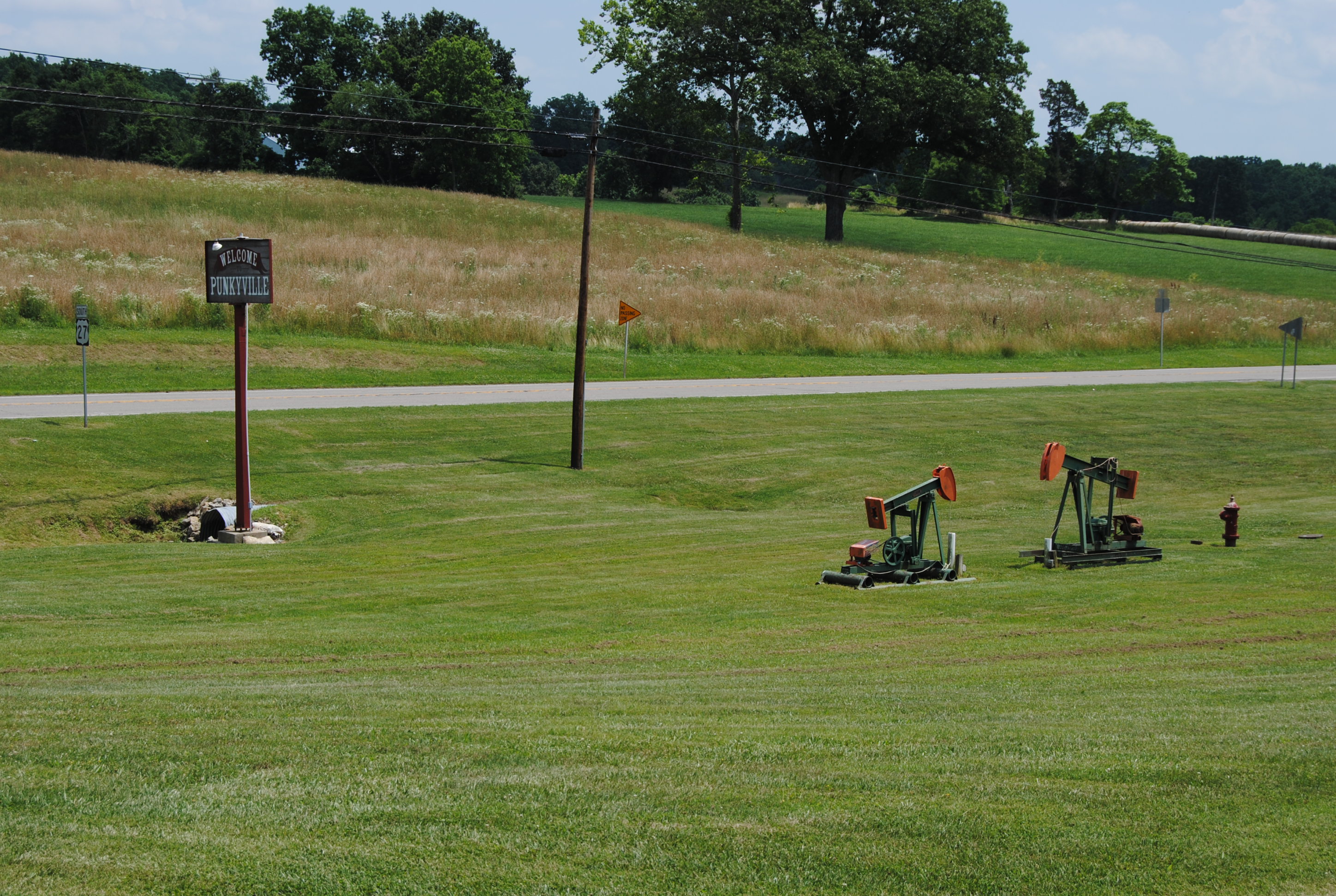
Punkyville, near Falmouth, Kentucky.
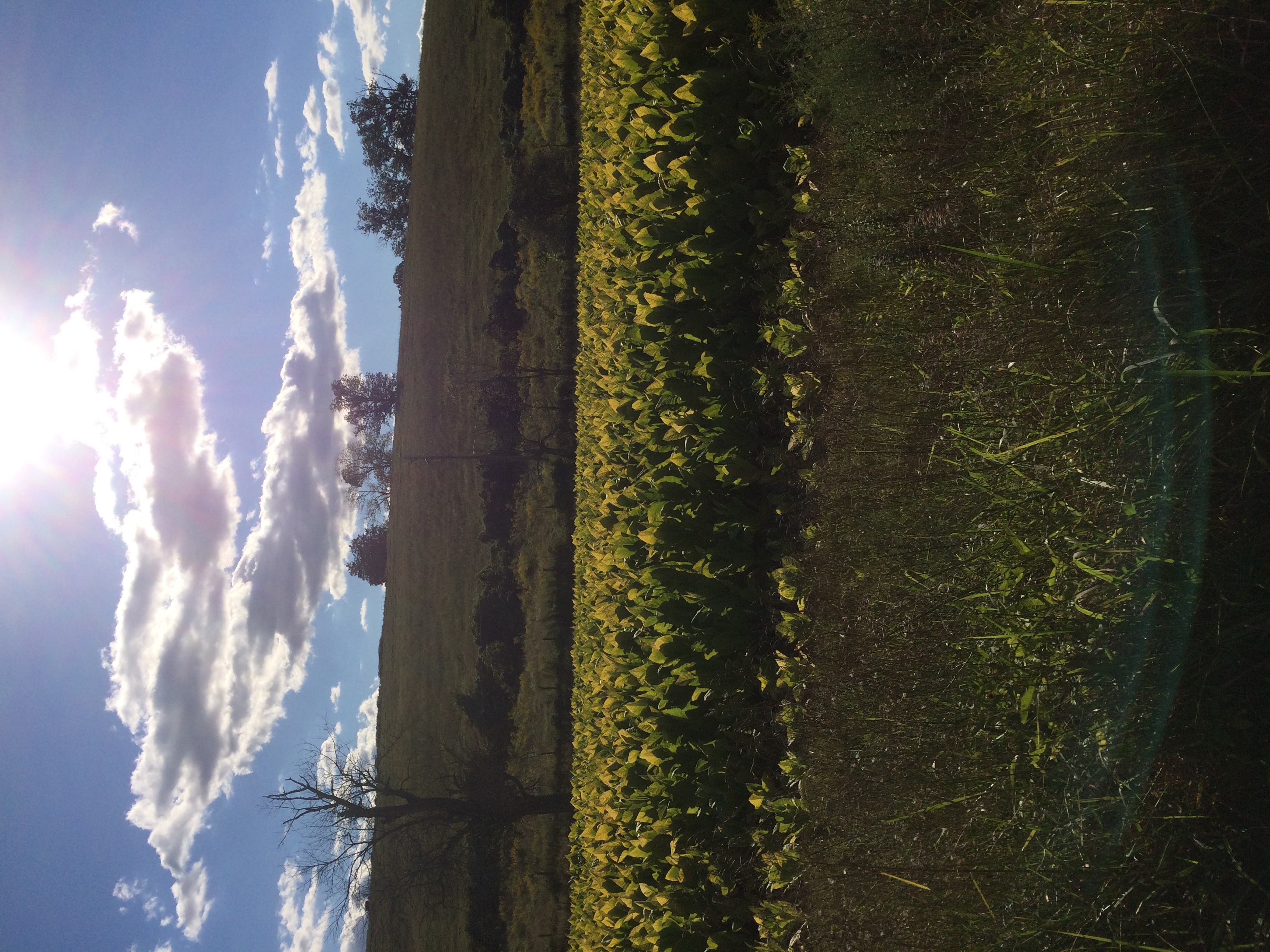
Kentucky Tobacco Field
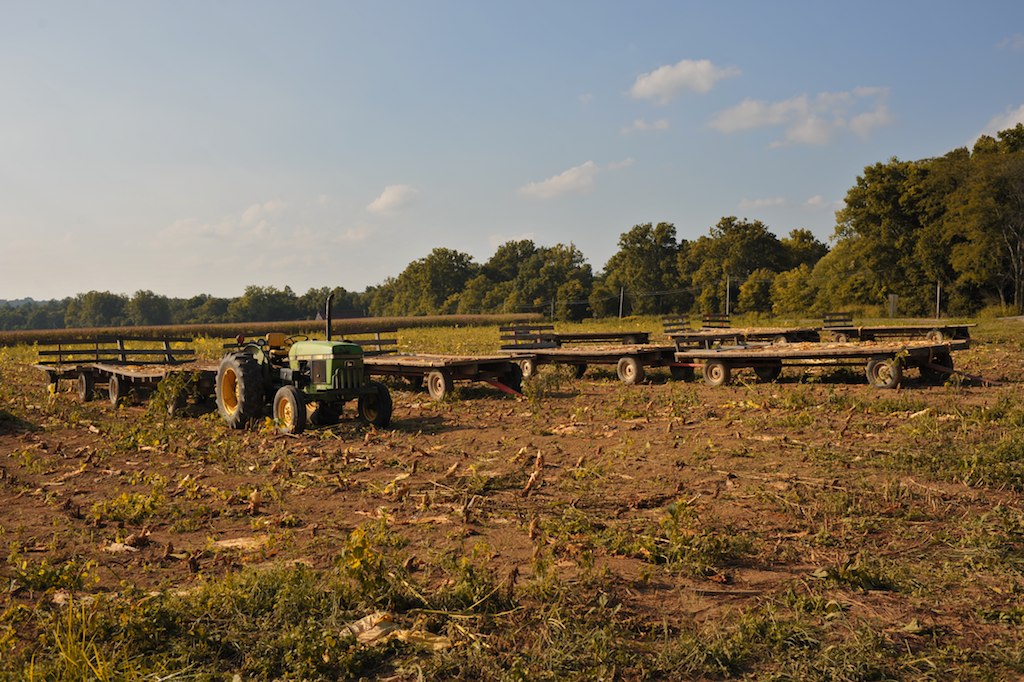
Tobacco wagons at dusk.
Mule 1
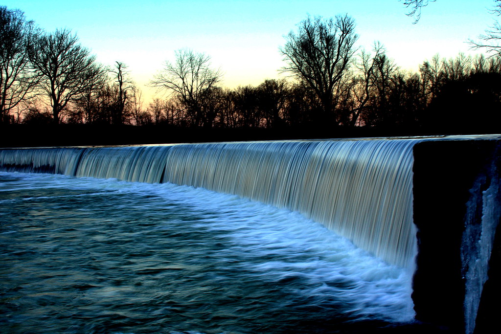
Poindexter Dam on a Sunny Evening
Topographic Map of Berry, KY, USA
Find elevation by address:

Places in Berry, KY, USA:
Places near Berry, KY, USA:
Berry, KY, USA
Williamstown Rd, Berry, KY, USA
Whitson Road
Cordova Rd, Berry, KY, USA
5815 Cordova Rd
Connersville Pike, Sadieville, KY, USA
2270 Whitson Rd
Dixie Hwy, Corinth, KY, USA
Corinth
3132 Hogg Ridge Rd
Hogg Ridge Road
2405 Hicks Pike
Sadieville
KY-36, Williamstown, KY, USA
546 Waterworks Rd
Pendleton County
US-25, Williamstown, KY, USA
105 Falmouth St
East Fairview Road
E Fairview Rd, Williamstown, KY, USA
Recent Searches:
- Elevation of SW 57th Ave, Portland, OR, USA
- Elevation of Crocker Dr, Vacaville, CA, USA
- Elevation of Pu Ngaol Community Meeting Hall, HWHM+3X7, Krong Saen Monourom, Cambodia
- Elevation of Royal Ontario Museum, Queens Park, Toronto, ON M5S 2C6, Canada
- Elevation of Groblershoop, South Africa
- Elevation of Power Generation Enterprises | Industrial Diesel Generators, Oak Ave, Canyon Country, CA, USA
- Elevation of Chesaw Rd, Oroville, WA, USA
- Elevation of N, Mt Pleasant, UT, USA
- Elevation of 6 Rue Jules Ferry, Beausoleil, France
- Elevation of Sattva Horizon, 4JC6+G9P, Vinayak Nagar, Kattigenahalli, Bengaluru, Karnataka, India