Elevation of Whitney, ON K0J 2M0, Canada
Location: Canada > Ontario > Nipissing District > South Algonquin > Whitney >
Longitude: -78.164287
Latitude: 45.4600026
Elevation: -10000m / -32808feet
Barometric Pressure: 295KPa
Elevation Map:
Satellite Map:
Related Photos:

Winter Landfall

Fishes View of Dog in Pond

Marsh.

Clouds, Skies, Sunsets.

canoing in paradise

West Smith Lake

Algonquin '16

Cottage from Algonquin
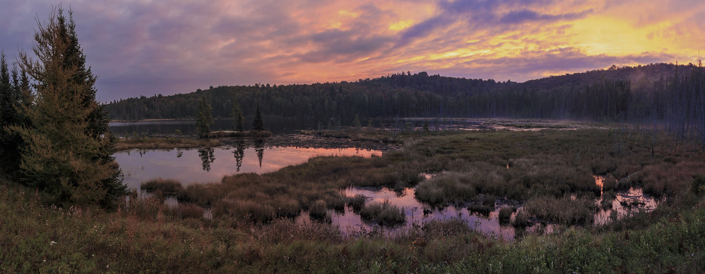
Algonquin sunrise panorama

Canadian Wilderness at Sunset

Whitney-2015-05-11-004

2013-07-25 15.07.45
Topographic Map of Whitney, ON K0J 2M0, Canada
Find elevation by address:

Places near Whitney, ON K0J 2M0, Canada:
Poverty Lake
Poverty Lake
South Algonquin
Whitney
14 Post St, Whitney, ON K0J 2M0, Canada
35 Brower Ln
53 Laciak Ln
Lake Saint Peter
1817 Mink Lake Rd
1817 Mink Lake Rd
1817 Mink Lake Rd
1817 Mink Lake Rd
2147 Mink Lake Rd
Cross Lake
Algonquin Park Visitor Centre
Ontario 523
Rock Lake Campground Office
Williams Lake Road
Cannon Lake
Maynooth
Recent Searches:
- Elevation of Dog Leg Dr, Minden, NV, USA
- Elevation of Dog Leg Dr, Minden, NV, USA
- Elevation of Kambingan Sa Pansol Atbp., Purok 7 Pansol, Candaba, Pampanga, Philippines
- Elevation of Pinewood Dr, New Bern, NC, USA
- Elevation of Mountain View, CA, USA
- Elevation of Foligno, Province of Perugia, Italy
- Elevation of Blauwestad, Netherlands
- Elevation of Bella Terra Blvd, Estero, FL, USA
- Elevation of Estates Loop, Priest River, ID, USA
- Elevation of Woodland Oak Pl, Thousand Oaks, CA, USA