Elevation of Ontario, ON-, South Algonquin, ON, Canada
Location: Canada > Ontario > Nipissing District > South Algonquin >
Longitude: -77.915967
Latitude: 45.4394627
Elevation: 459m / 1506feet
Barometric Pressure: 96KPa
Elevation Map:
Satellite Map:
Related Photos:

Lounging Muskoka Style

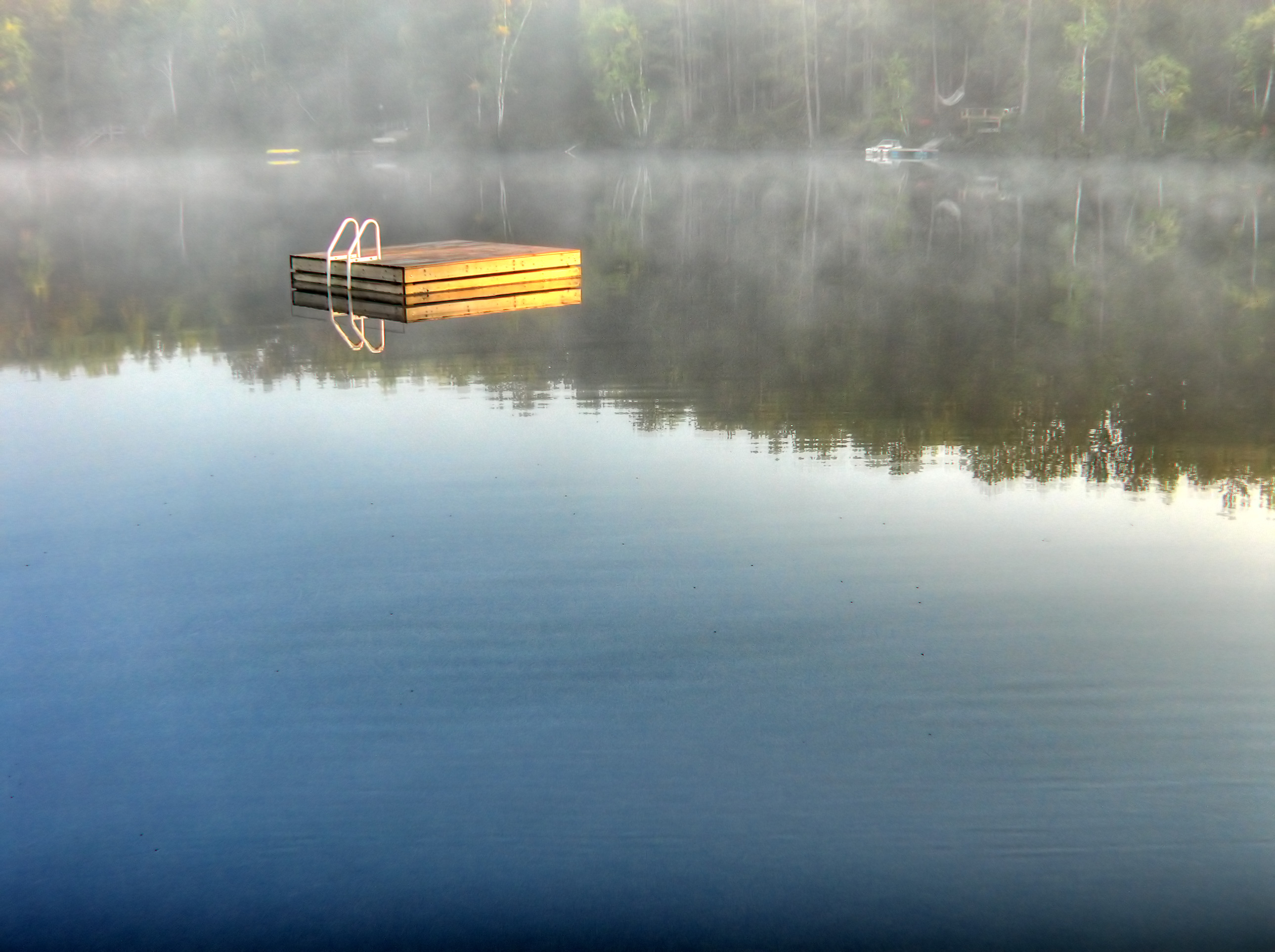
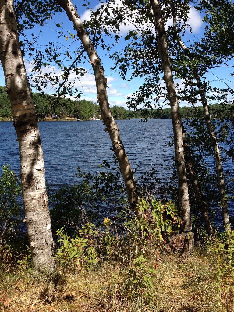
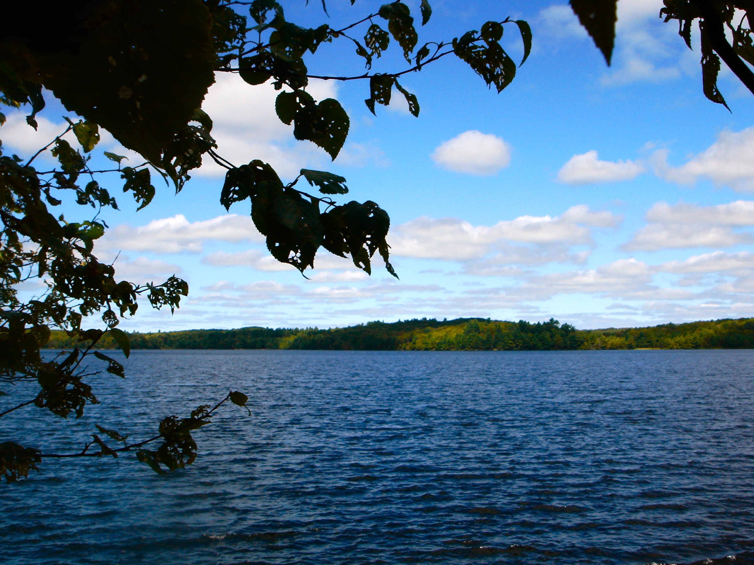
The Lake
Early Lake View
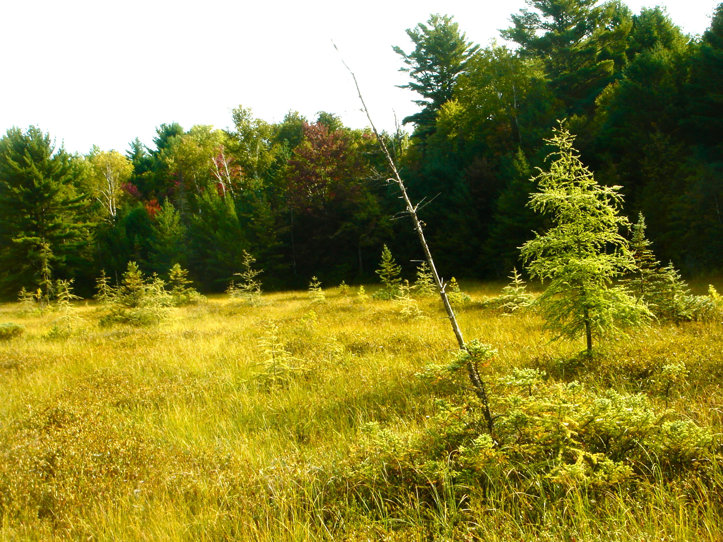
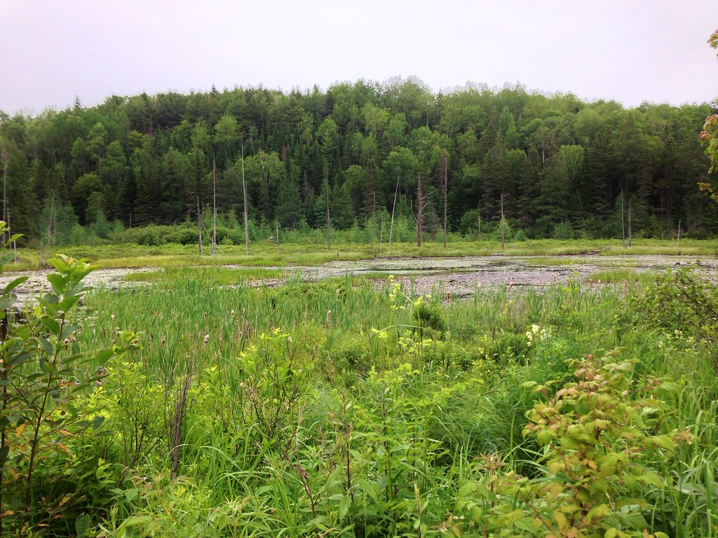
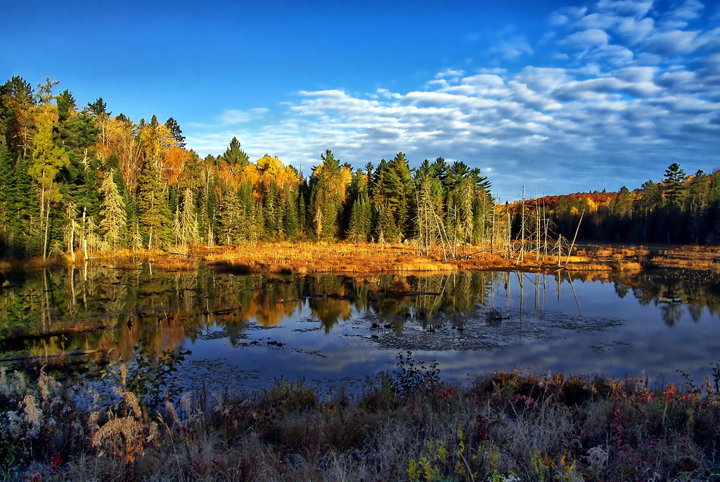
View of the Swamp
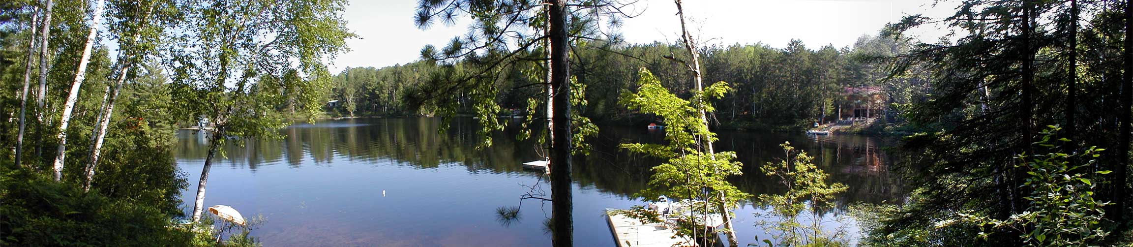
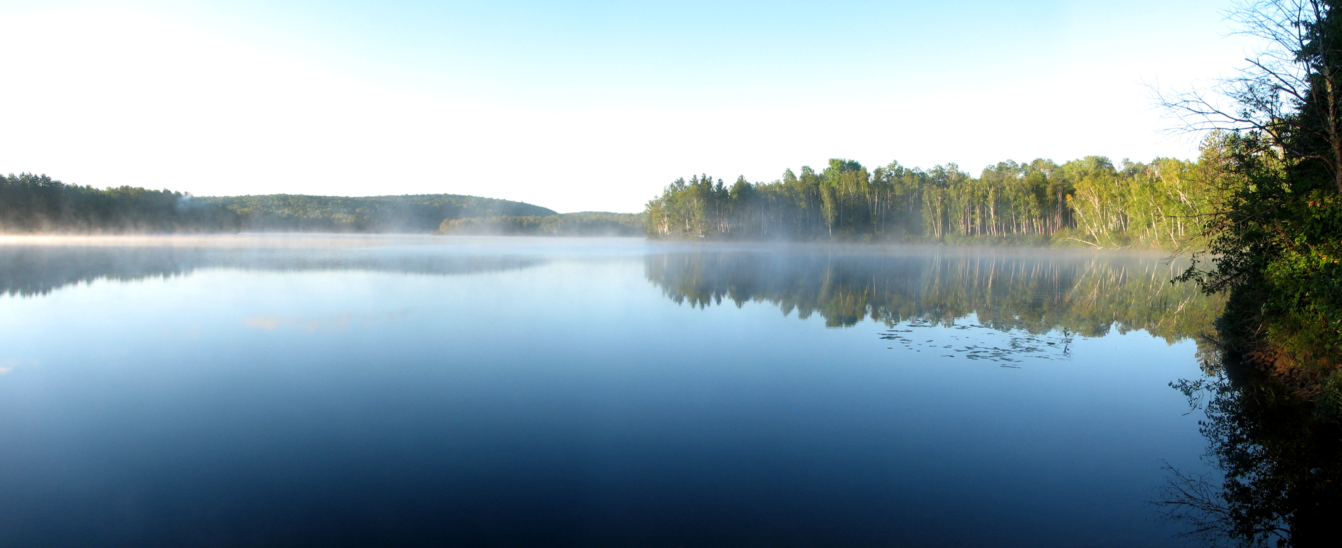
Summer Panorama View of Lake St. Peter
Rear View Window
Ahh.
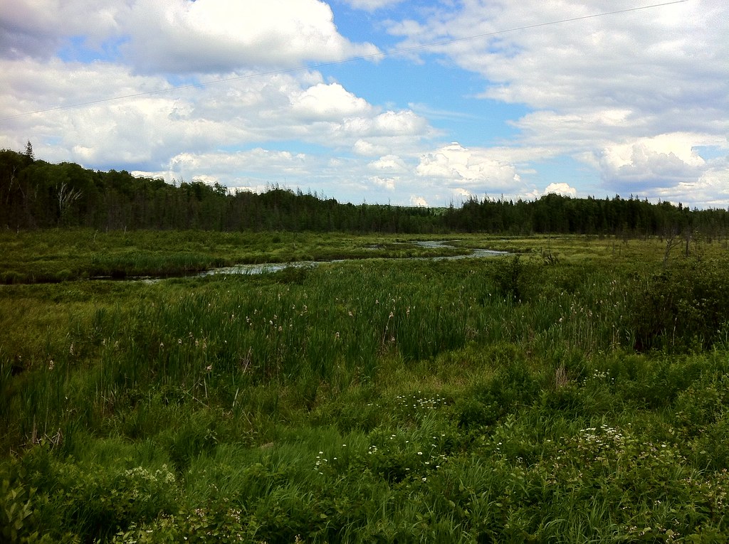
Marsh.
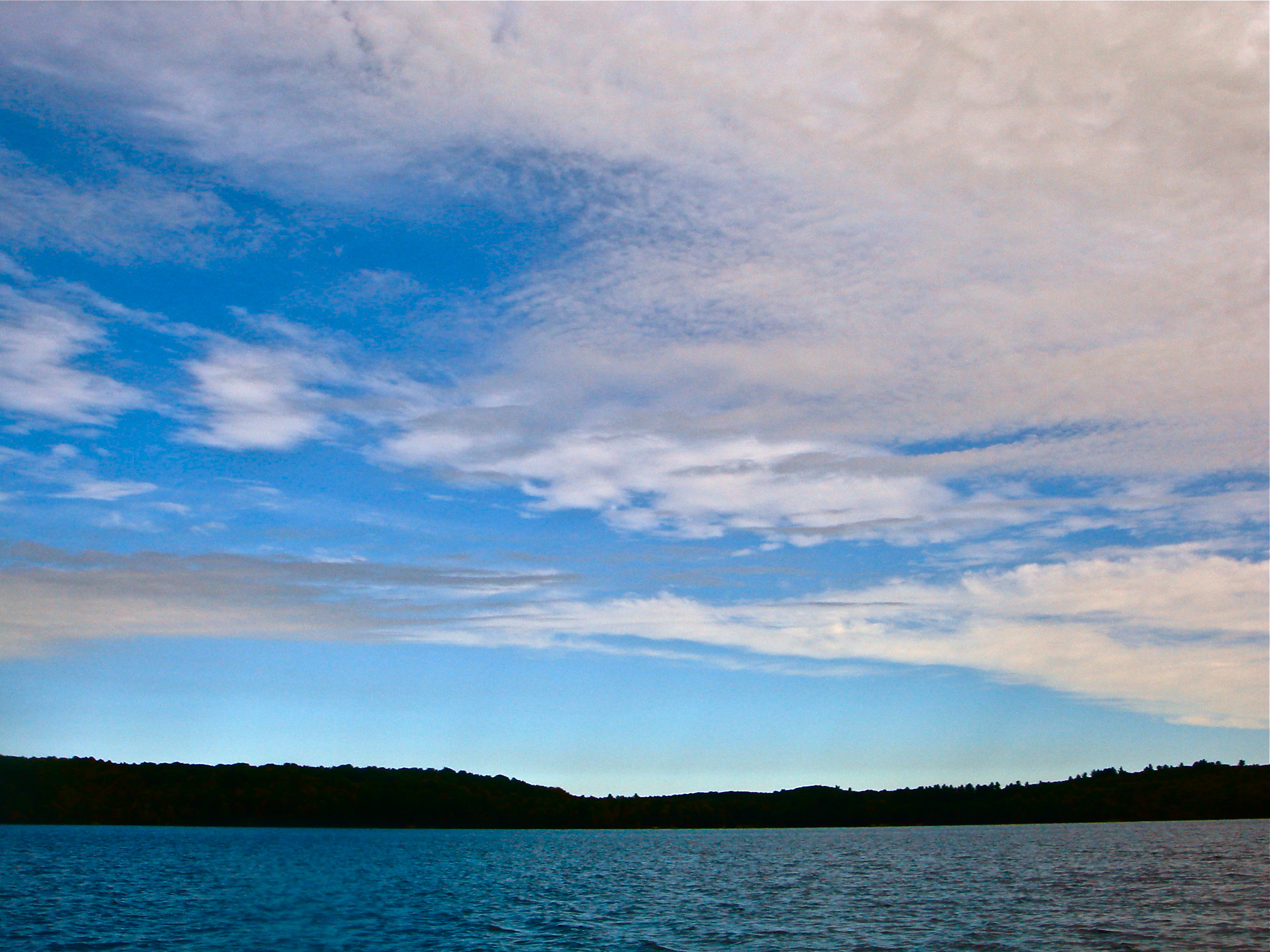
Clouds, Skies, Sunsets.
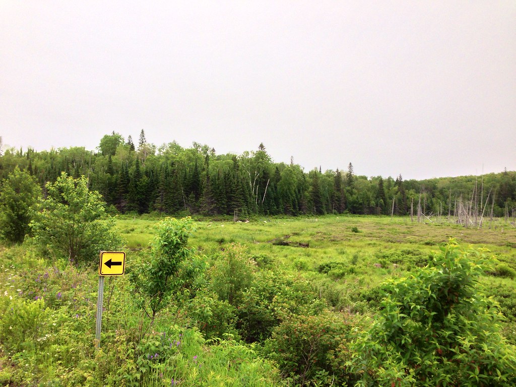
Marsh.
View on The Lake

strip of seasonal colors

Birch Sunstar

Kawartha Canoes

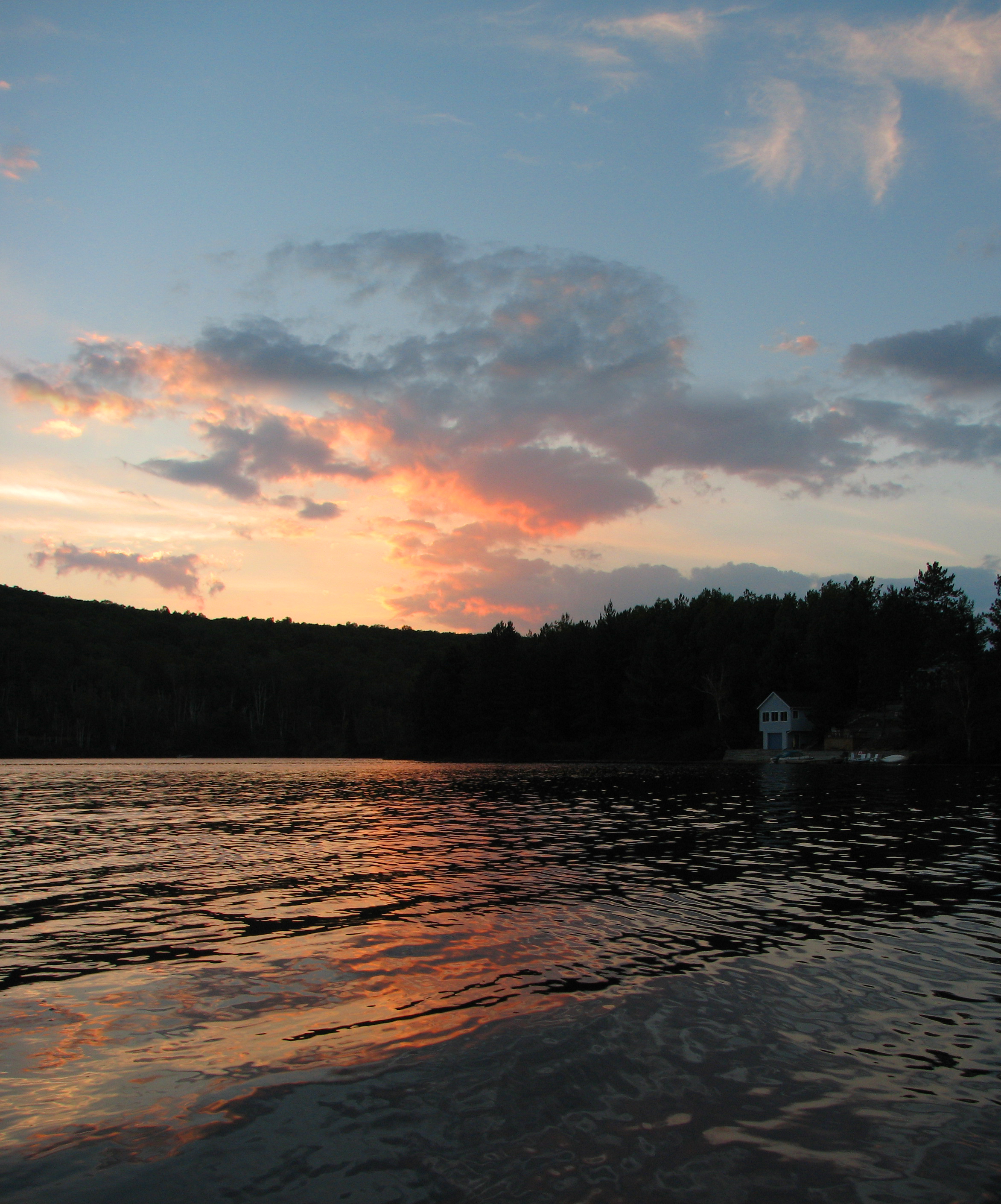
Sunset on Lake St. Peter
Lake St. Peter Sunset

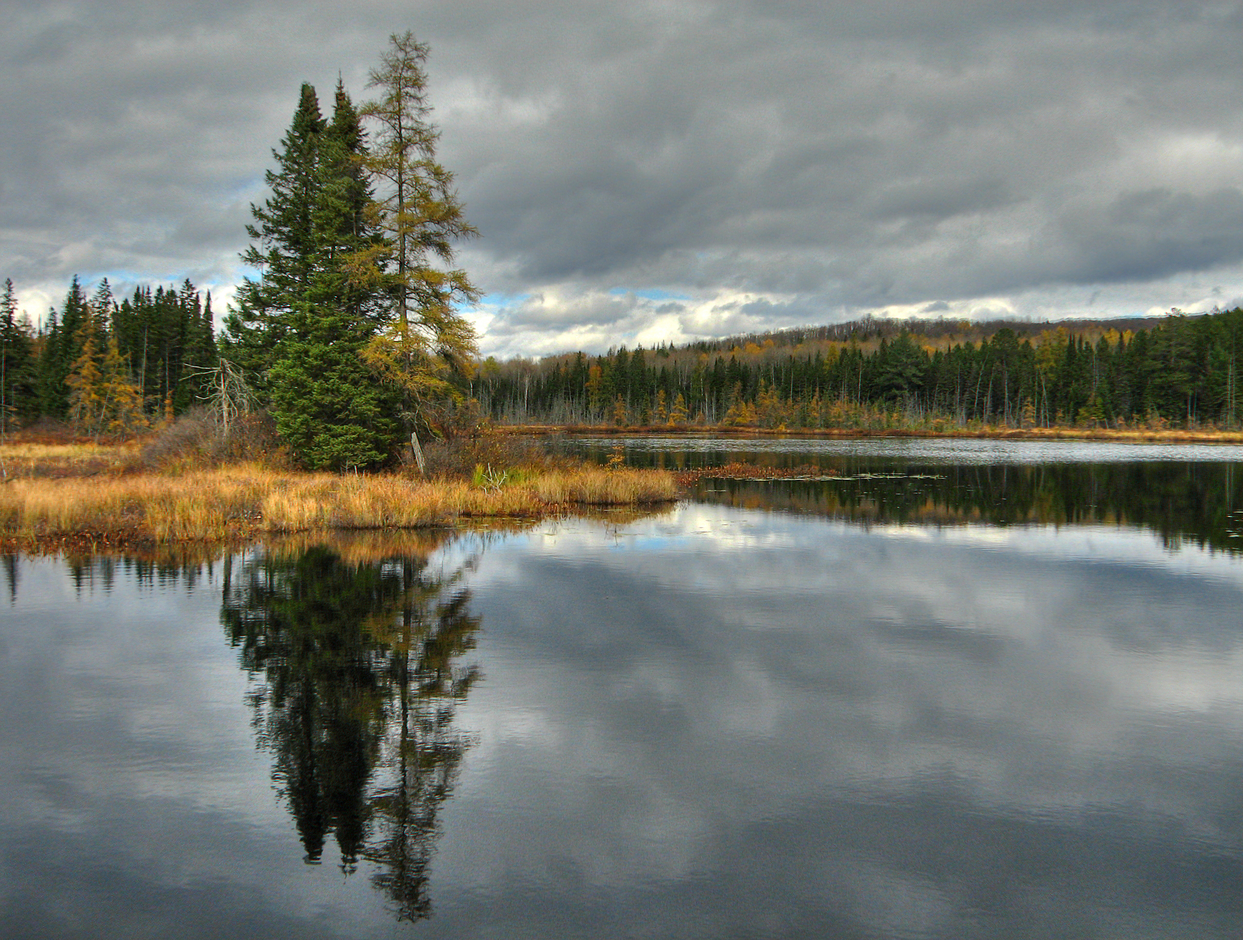
autumn on Bark Lake

Colourful Fall Morning
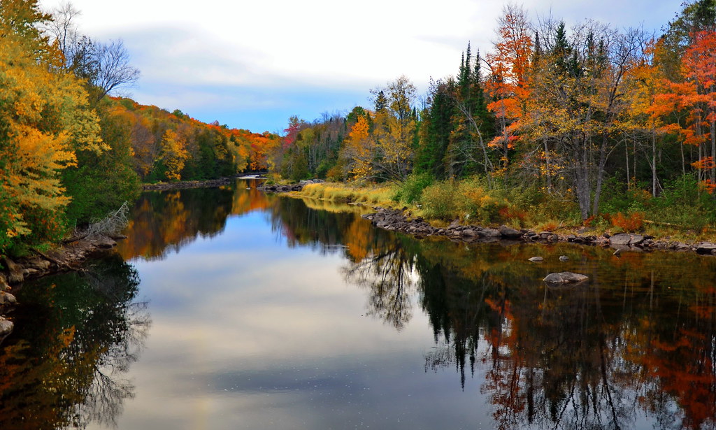
Madawaska revisited

Sunset Cottage

Spectacle Lake Dock

blazing Madawaska

Dreamsland.3
Billings Lake
Lake St. Peter

Lakeside Birch
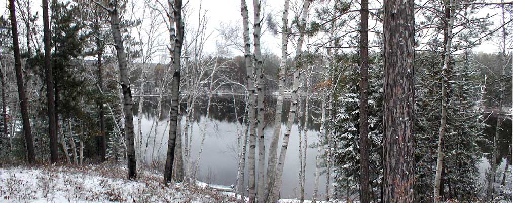
Lake St. Peter, Ontario (winter)
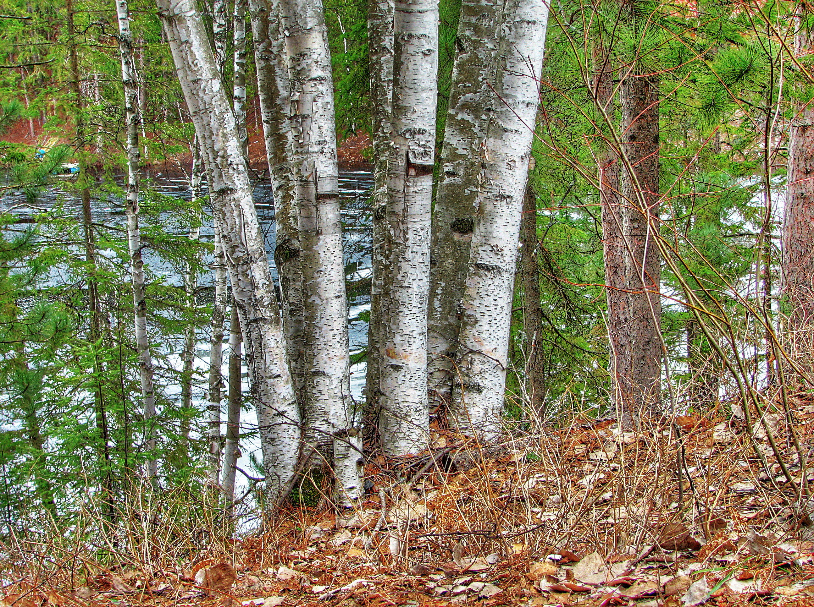
Cottage Birch
Lake St. Peter
Into The Sky
Topographic Map of Ontario, ON-, South Algonquin, ON, Canada
Find elevation by address:

Places near Ontario, ON-, South Algonquin, ON, Canada:
Cross Lake
21566 On-60
56 Harriets Point Rd, Maple Leaf, ON K0L 2R0, Canada
53 Laciak Ln
20866 On-60
679 Arbor Vitae Rd
Davis Road
3 Childerhouse Rd
35 Brower Ln
Lake Saint Peter
160 Dubblestein Rd
Maple Leaf
4489 Musclow Greenview Rd
K0l 2r0
84 Anaf Rd
Maynooth
Williams Lake Road
South Algonquin
Hillsview Road
52 Echo Lake Rd, Combermere, ON K0J 1L0, Canada
Recent Searches:
- Elevation of Zimmer Trail, Pennsylvania, USA
- Elevation of 87 Kilmartin Ave, Bristol, CT, USA
- Elevation of Honghe National Nature Reserve, QP95+PJP, Tongjiang, Heilongjiang, Jiamusi, Heilongjiang, China
- Elevation of Hercules Dr, Colorado Springs, CO, USA
- Elevation of Szlak pieszy czarny, Poland
- Elevation of Griffing Blvd, Biscayne Park, FL, USA
- Elevation of Kreuzburger Weg 13, Düsseldorf, Germany
- Elevation of Gateway Blvd SE, Canton, OH, USA
- Elevation of East W.T. Harris Boulevard, E W.T. Harris Blvd, Charlotte, NC, USA
- Elevation of West Sugar Creek, Charlotte, NC, USA